6.2Km
6.2Km

Note
 0m
0m
0m
0m
0m
0m
0m
50m
0m
0m
0m
0m
0m
0m
0m
50m
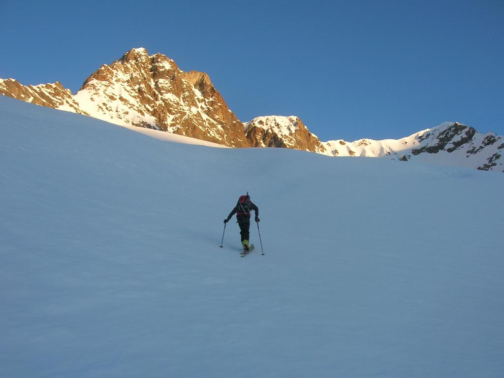
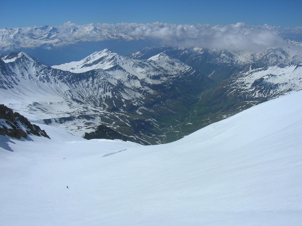
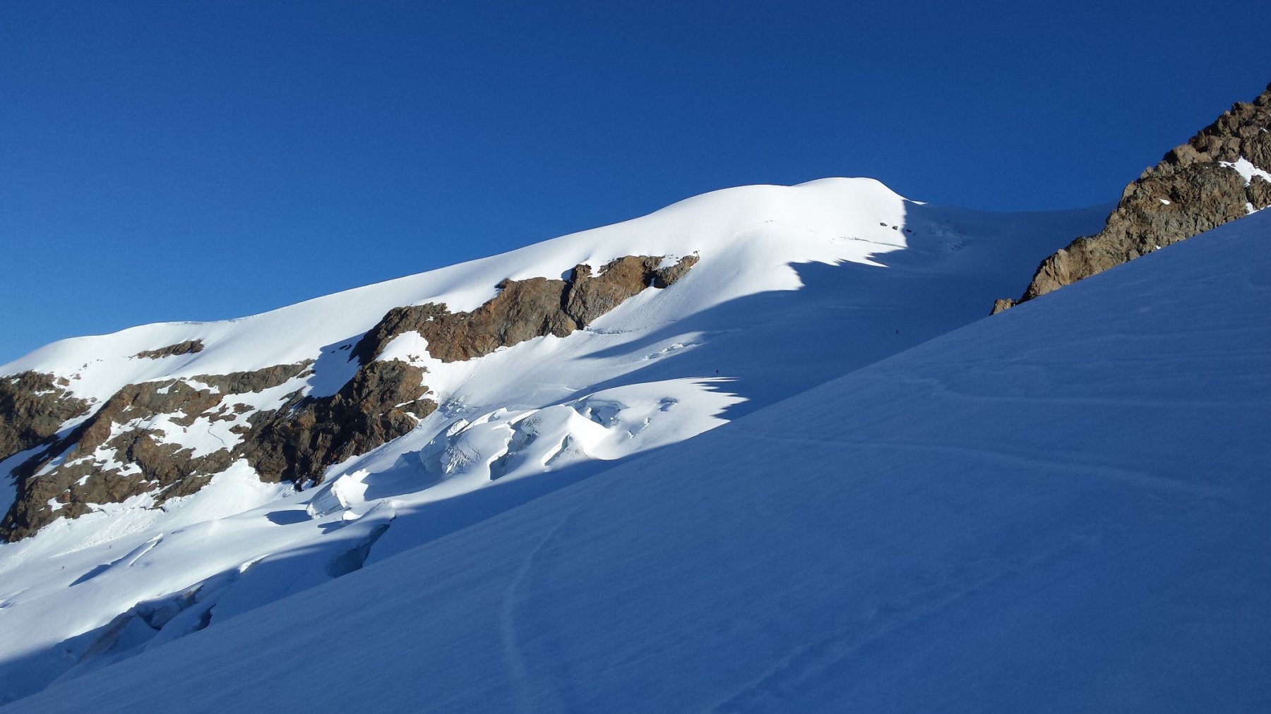
Classica meta di fine stagione dal versante francese,l'Aiguille des Glaciers ( o meglio il Dome des Neige) è assai rinomata per 1700 metri di "sontuosa" discesa su ampi pendii di neve trasformata.
Molto meno frequentato è l'itinerario che parte dall'Italia, dove non si rischia certo di trovare affollamento nel locale invernale del Rifugio Elisabetta.
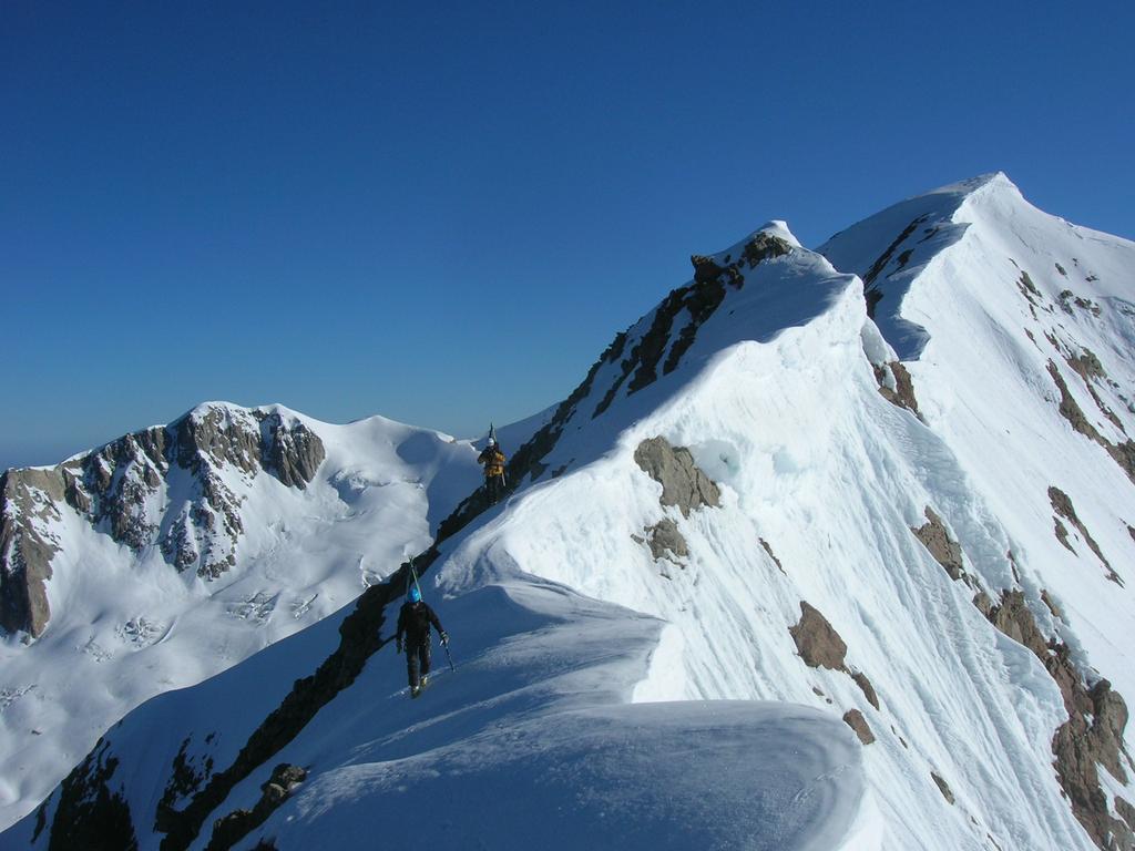
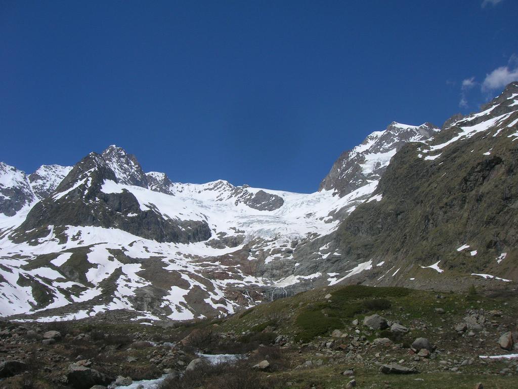
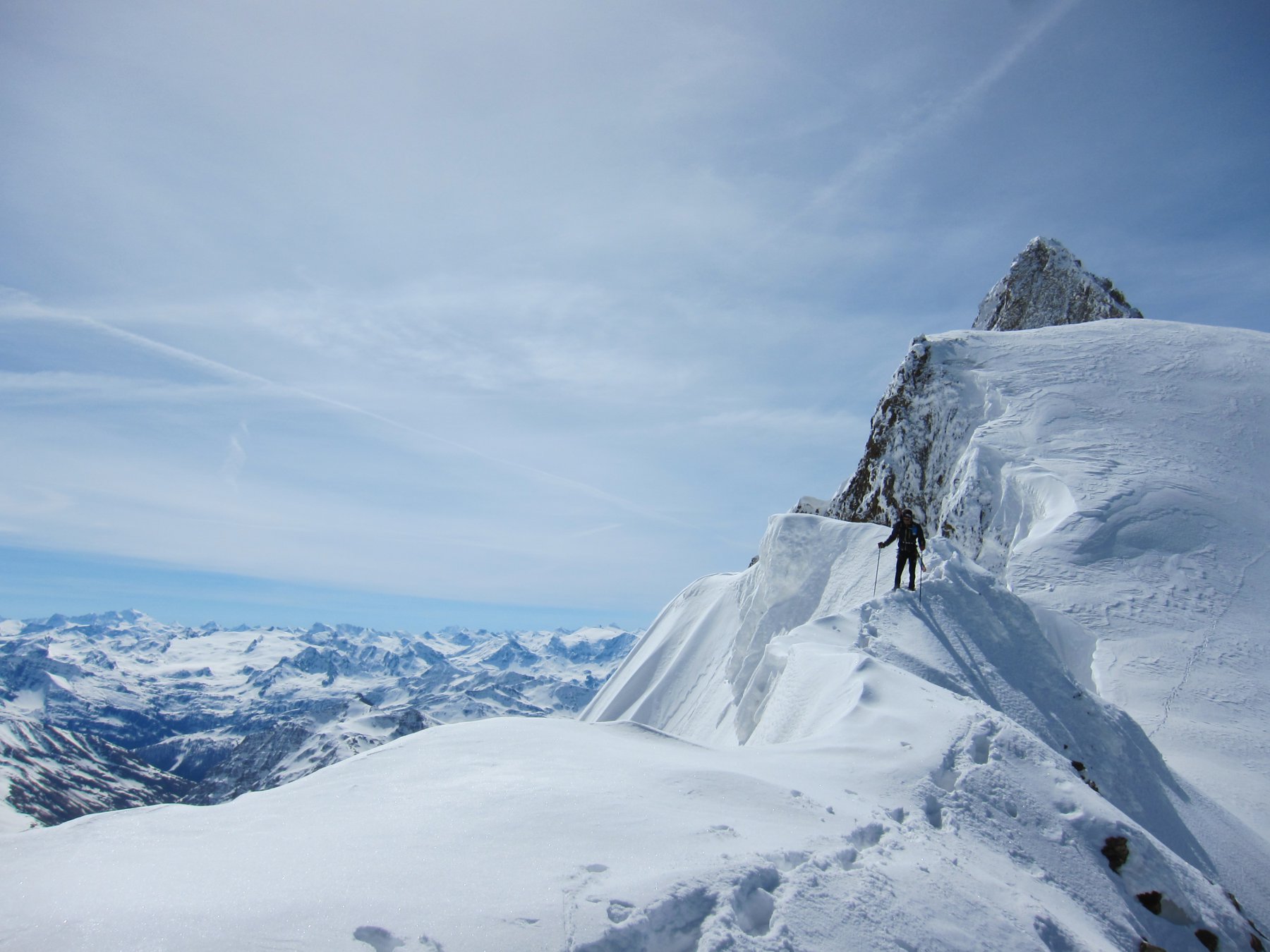
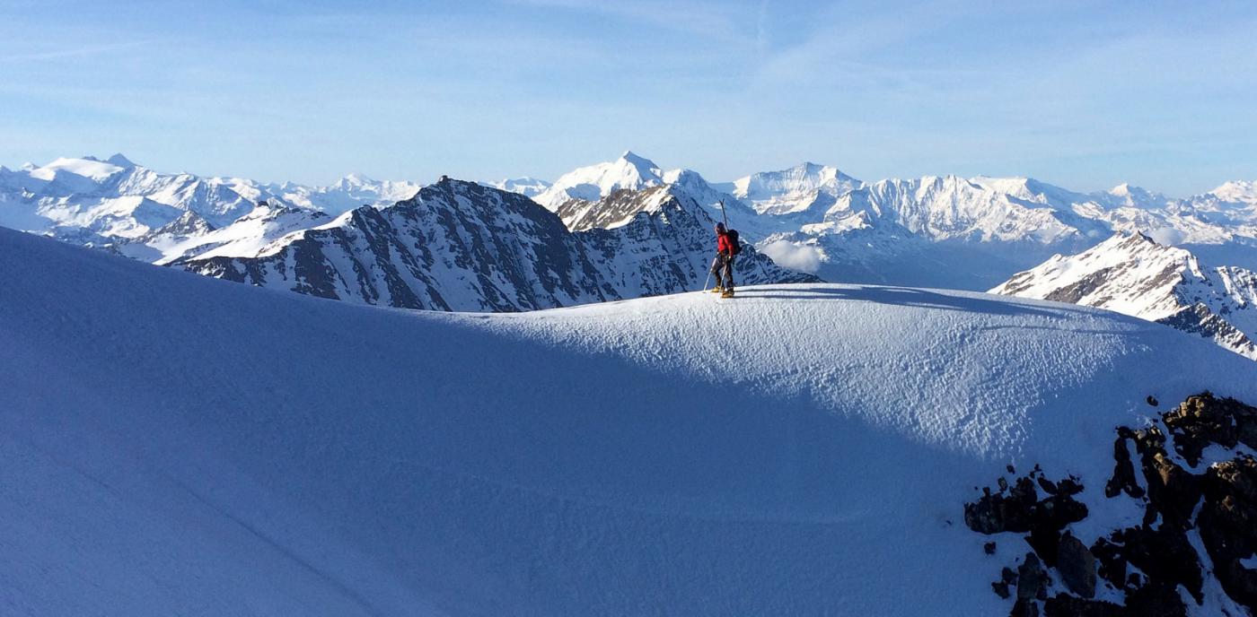
Il nostro giro, ben documentato sulle fotografie dell'imperdibile volumetto sul Monte Bianco della Volopress, percorre il ghiacciaio della Lex Blanche (in comune con il colle o l'Aig. de Trelatete fino a 2800 m. poi si sposta a sx), risale il ripido pendio al colle de la Scie e con breve e panoramico percorso di cresta raggiunge il Dome des Neige.
Discesa classica con passaggio del colletto a 3000 m. e rientro dalle Pyramide Calcaires al rifugio.
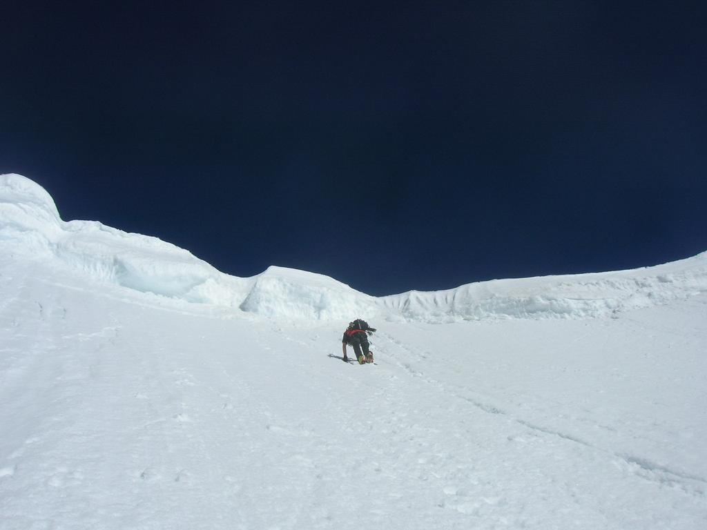
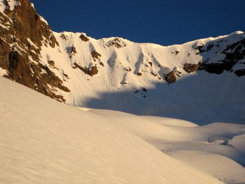
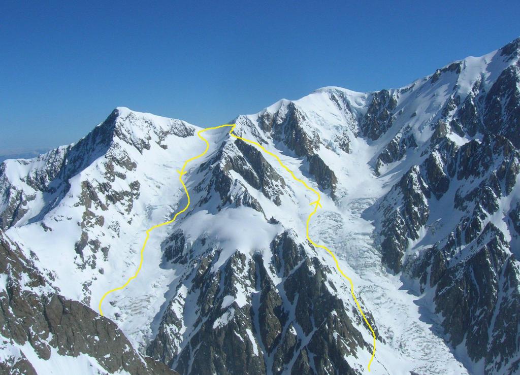
Per i " puristi" che amano metter piede sulle cime vere e proprie,le cose sono un pò più complicate: infatti il canale da risalire per arrivare in vetta ( il terzo a destra guardando la parete), presenta un percorso di misto non propriamente banale in cui, a secondo delle condizioni, potete trovare in proporzione variabile roccia instabile, ghiaccio più o meno duro, neve più o meno inconsistente.
Difficoltà PD+/AD-, assicurazione aleatoria, tempo di salita e discesa non meno di due ore.
Avvicinamento
Molto meno frequentato è l'itinerario che parte dall'Italia, dove non si rischia certo di trovare affollamento nel locale invernale del Rifugio Elisabetta.
Il nostro giro, ben documentato sulle fotografie dell'imperdibile volumetto sul Monte Bianco della Volopress, percorre il ghiacciaio della Lex Blanche (in comune con il colle o l'Aig. de Trelatete fino a 2800 m. poi si sposta a sx), risale il ripido pendio al colle de la Scie e con breve e panoramico percorso di cresta raggiunge il Dome des Neige.
Discesa classica con passaggio del colletto a 3000 m. e rientro dalle Pyramide Calcaires al rifugio.
Per i " puristi" che amano metter piede sulle cime vere e proprie,le cose sono un pò più complicate: infatti il canale da risalire per arrivare in vetta ( il terzo a destra guardando la parete), presenta un percorso di misto non propriamente banale in cui, a secondo delle condizioni, potete trovare in proporzione variabile roccia instabile, ghiaccio più o meno duro, neve più o meno inconsistente.
Difficoltà PD+/AD-, assicurazione aleatoria, tempo di salita e discesa non meno di due ore.
.
Nelle vicinanze Mappa
Itinerari
27/05/2017 AO, Courmayeur D+ 2000 m OSA Varie
Lex Blanche (Aiguille de la) traversata dal Dome des Neiges des Glacier al Col de Trélatête
 0m
0m
01/06/2019 AO, Courmayeur D+ 1088 m BS Varie
Fortin (Mont) da la Visaille
 0m
0m
08/06/2025 AO, Courmayeur D+ 1922 m BSA, F Varie
Glaciers (Dome de) da La Visaille per il Rifugio Elisabetta
 0m
0m
02/07/2026 AO, Courmayeur D+ 1168 m BS Nord
Lechaud (Punta) da la Visaille
0m
25/06/2013 AO, Courmayeur D+ 1851 m OSA Sud-Ovest
Grises (Aiguilles, Col des) da La Visaille
 0m
0m
03/06/2018 AO, Courmayeur D+ 1840 m OSA, PD+ Sud-Est
Aigle (Aiguille de l’) da la Visaille
 0m
0m
29/05/2005 AO, Courmayeur D+ 1724 m BSA Sud-Ovest
Piccolo Monte Bianco o Petit Mont Blanc da La Visaille
0m
10/06/2016 AO, Courmayeur D+ 2300 m OSA Varie
Trelatete (Aiguille de) da La Visaille
 0m
0m
02/07/2021 AO, Courmayeur D+ 2117 m OSA Sud-Est
Glaciers (Aiguille des) da la Visaille
 0m
0m
25/04/2026 AO, Courmayeur D+ 1050 m OS Varie
Chavannes (Pointe des) dalla Val Veny
 50m
50m