3.2Km
3.2Km
Note
 50m
50m
600m
650m
1.7Km
3.1Km
3.1Km
3.1Km
50m
50m
600m
650m
1.7Km
3.1Km
3.1Km
3.1Km
3.2Km
5.8Km
5.8Km
6.1Km
7Km
7.5Km
7.6Km
7.6Km
7.6Km
7.9Km
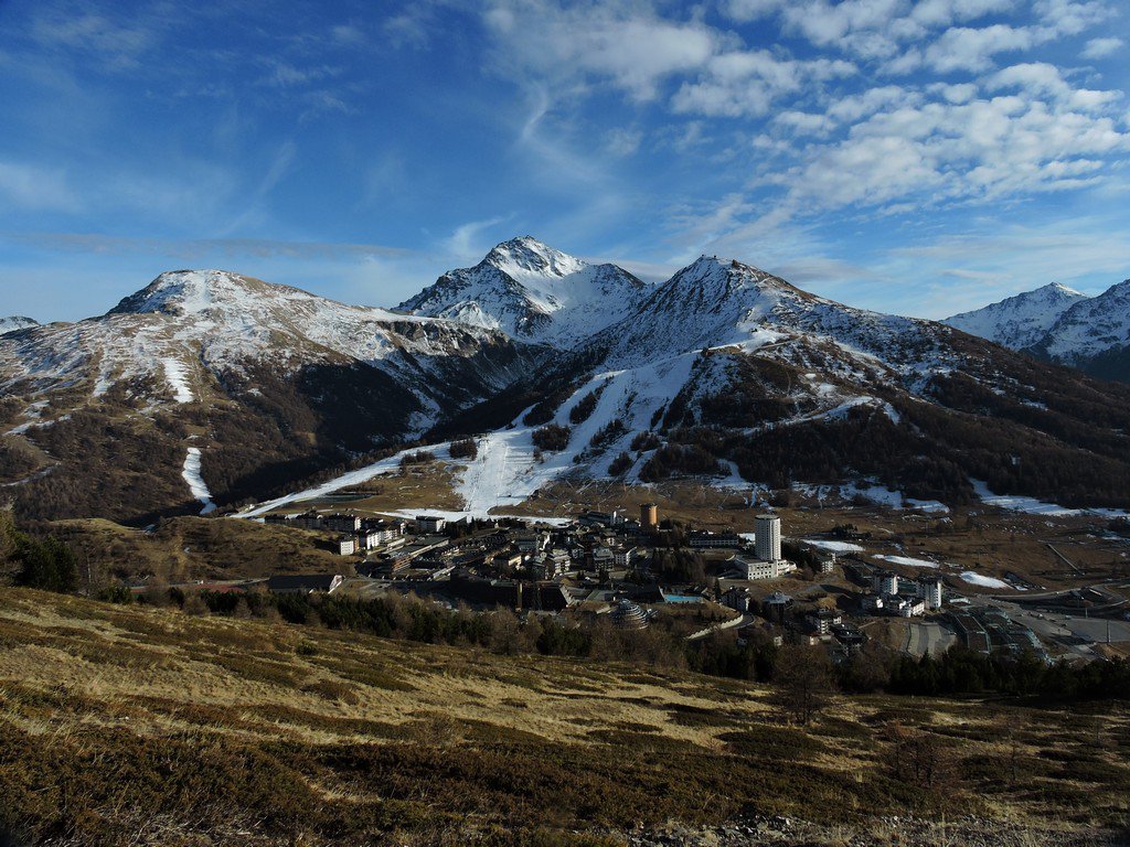
E' possibile salire al Fraiteve con gli impianti del Sestriere.
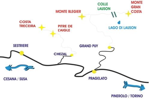
Avvicinamento
.
Descrizione
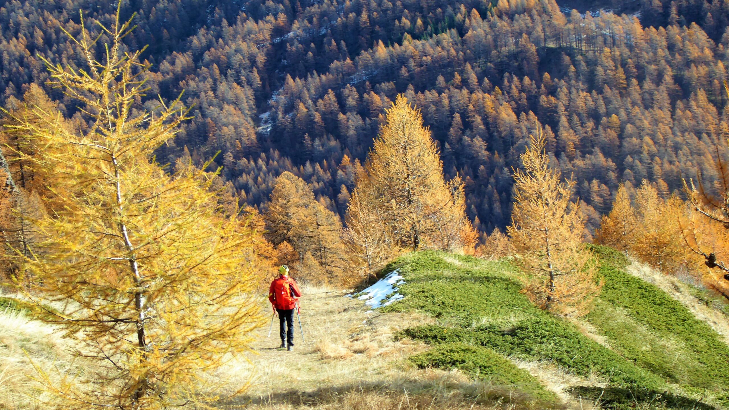
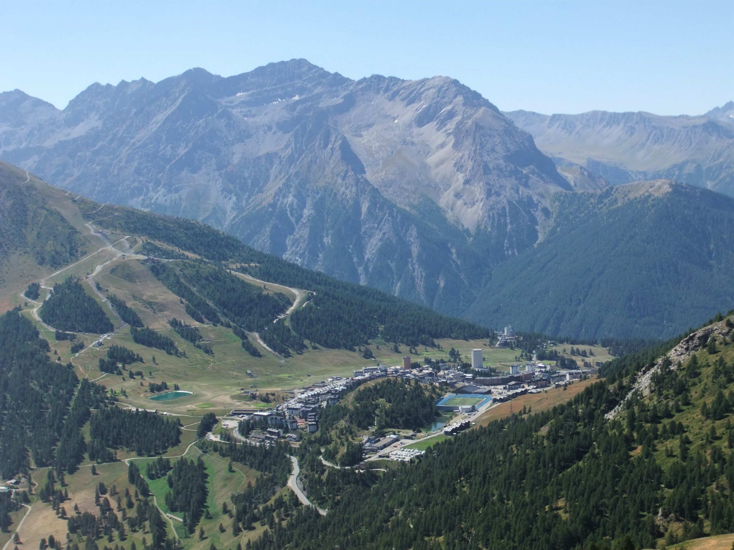
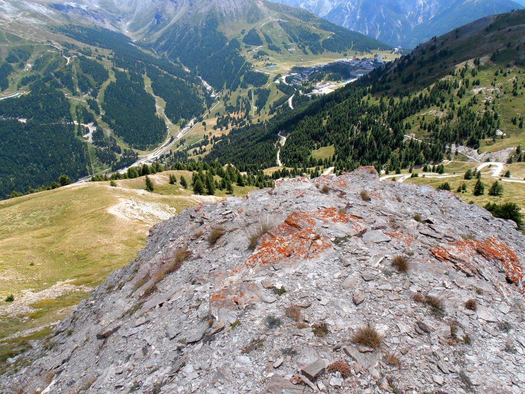
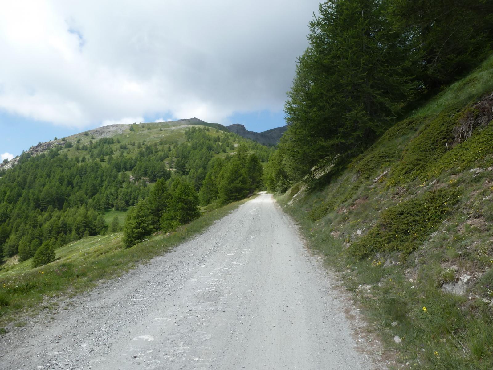
Lasciata l’auto nei pressi dello stadio di atletica, si cercano le indicazioni in legno per il Monte Fraiteve, che portano su una strada di servizio degli impianti sciistici.
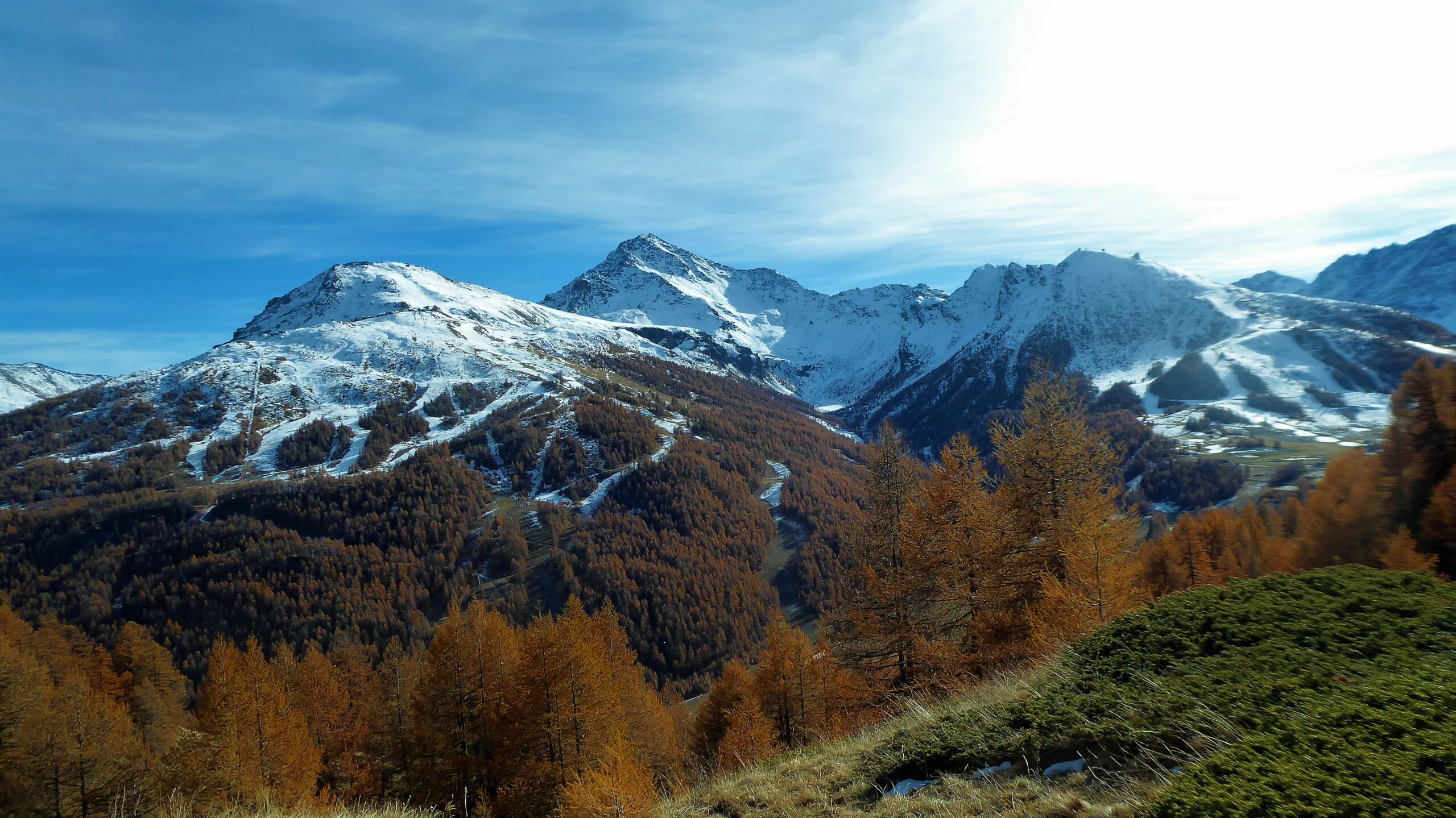
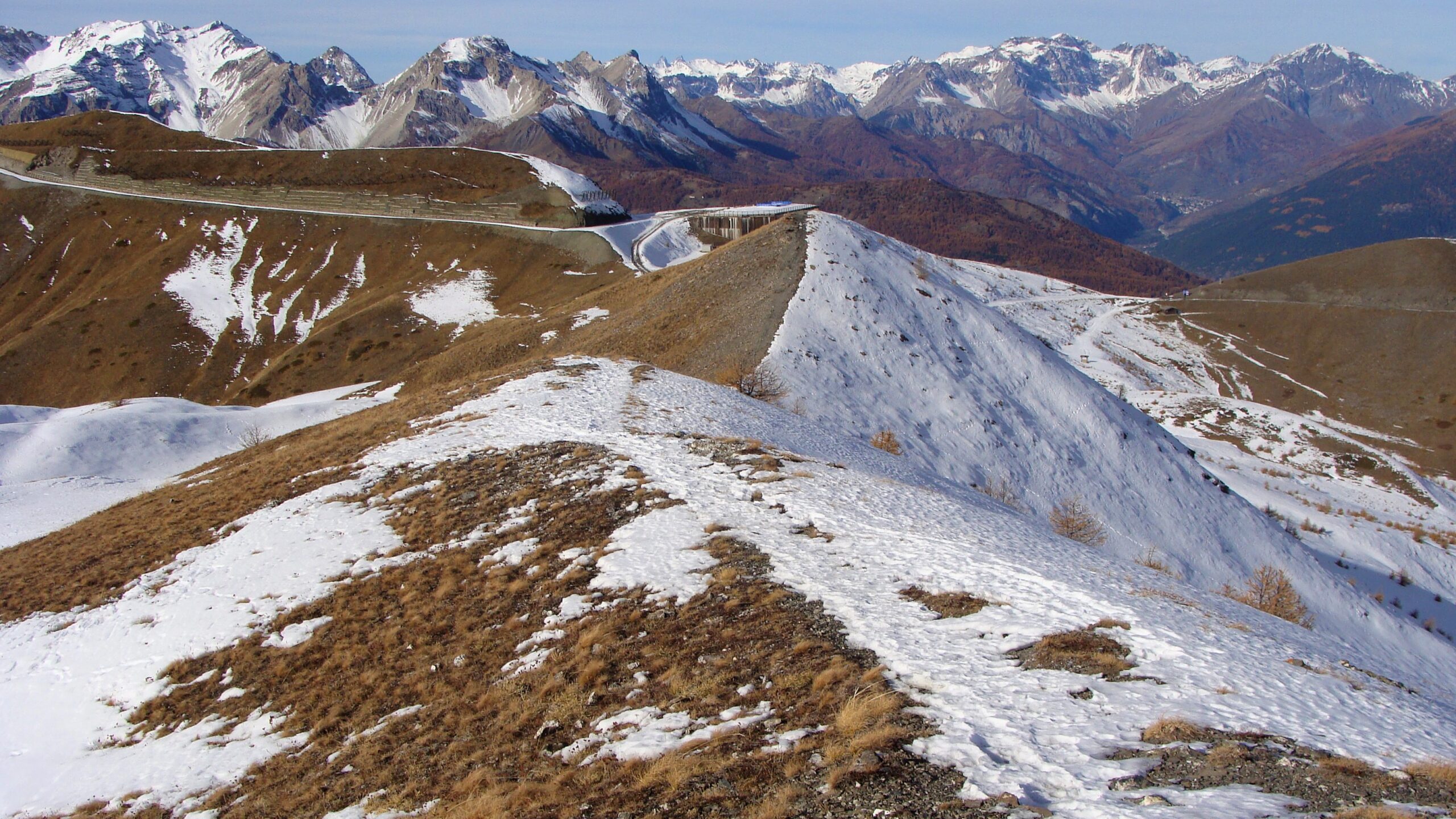
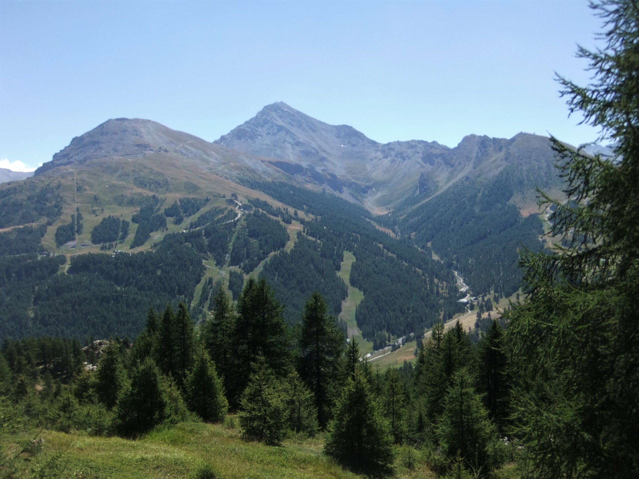
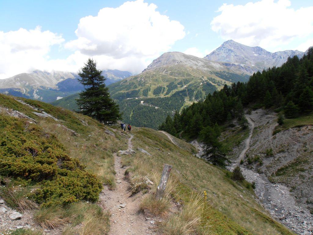
Si segue la strada che sale tagliando con tornanti il versante sud-est della montagna: giunti ad un bivio, si può scegliere se seguire il tratto più recente sulla sinistra, a servizio degli ultimi impianti realizzati in occasione delle Olimpiadi verso Roccia Freida e Rocca Rotonda, oppure continuare sul vecchio tracciato. La strada si trasforma in sentiero e segue la cresta che separa dal vallone Croux e conduce alla cima (2701 m).
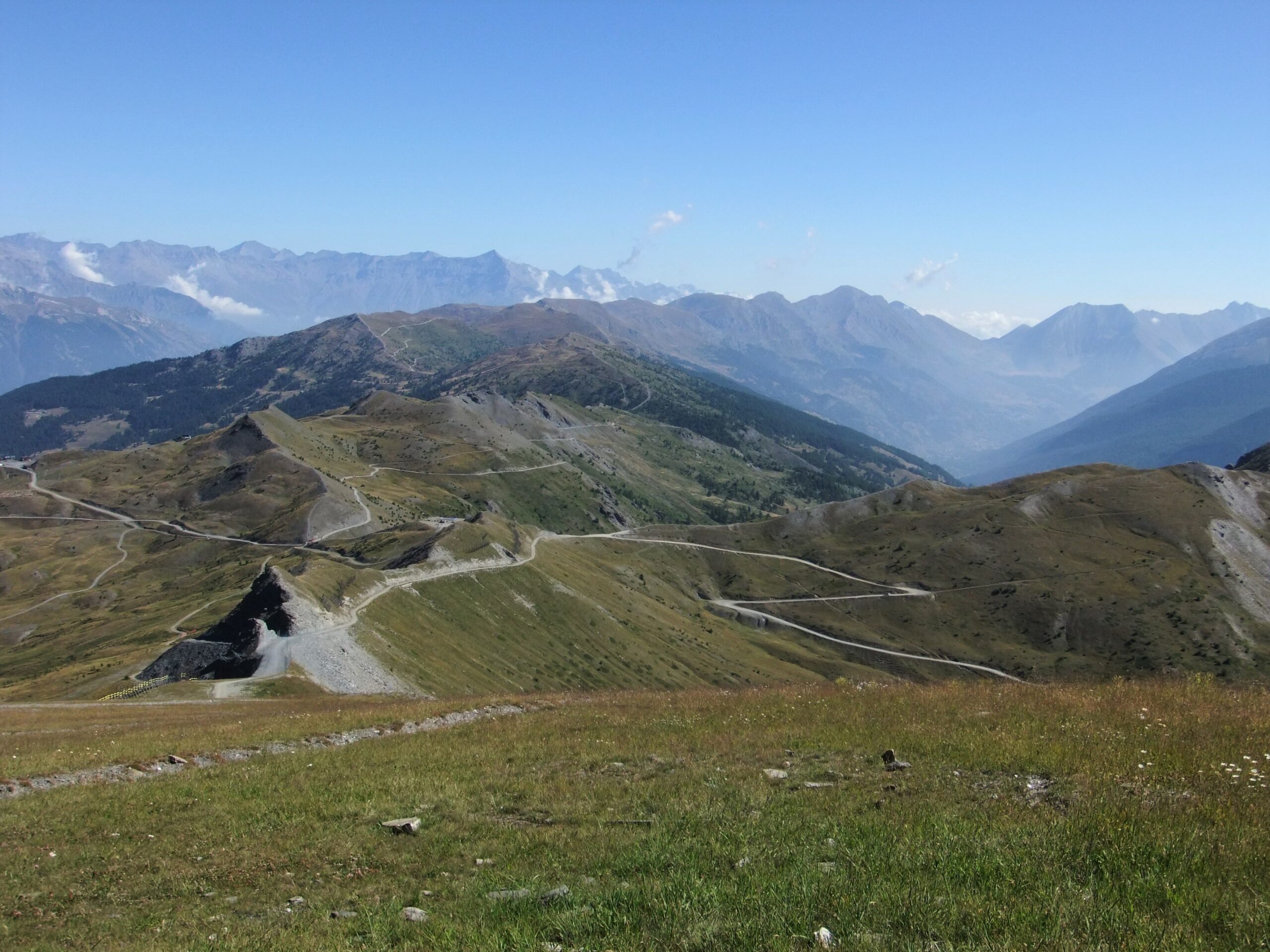
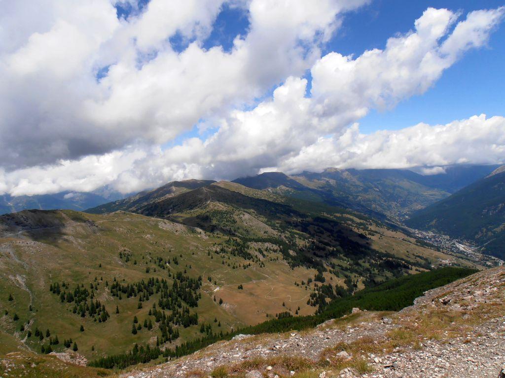
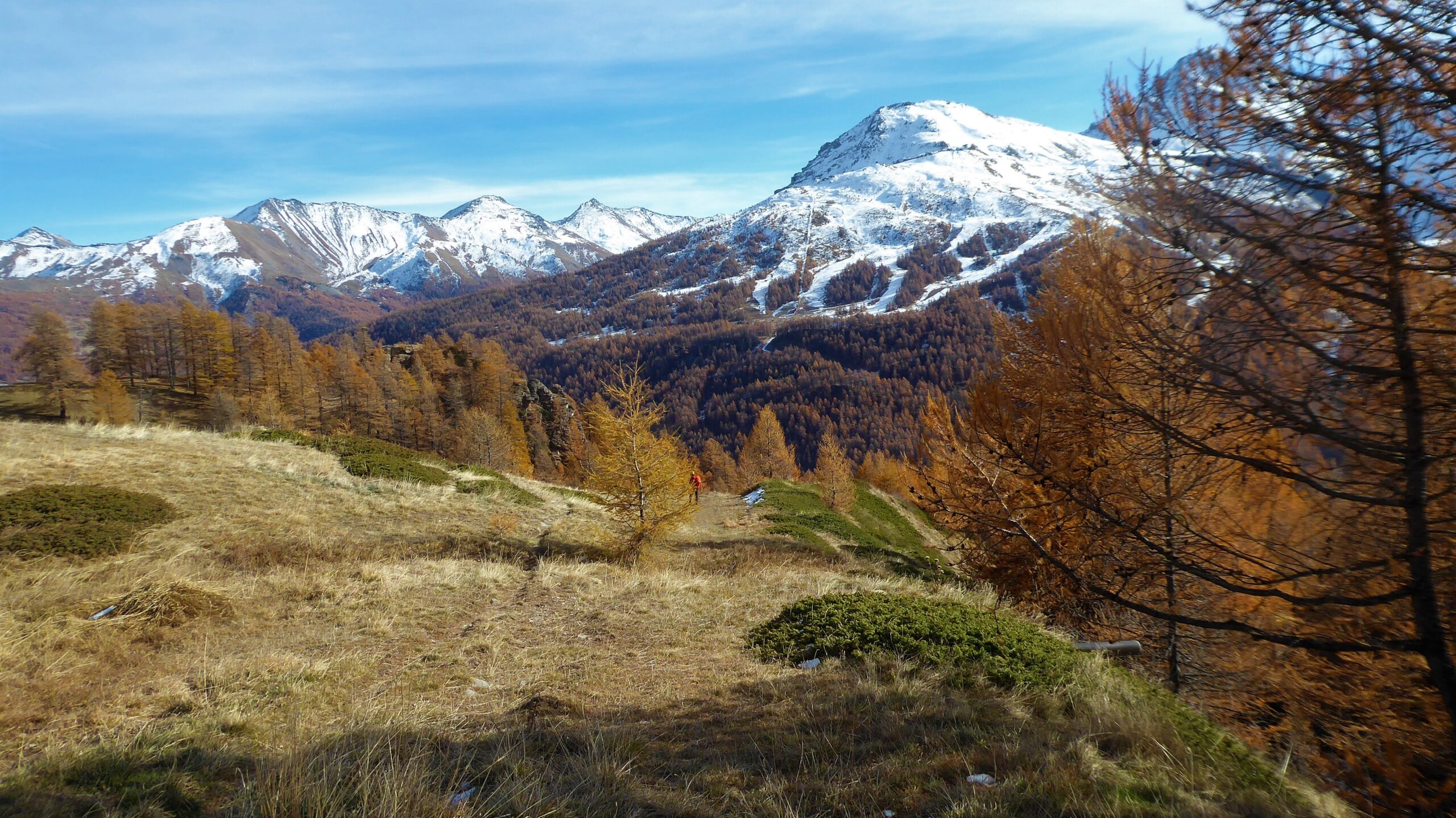
Dalla vetta si segue in discesa la dorsale Nord-Est fino al Col Basset (2424 m).
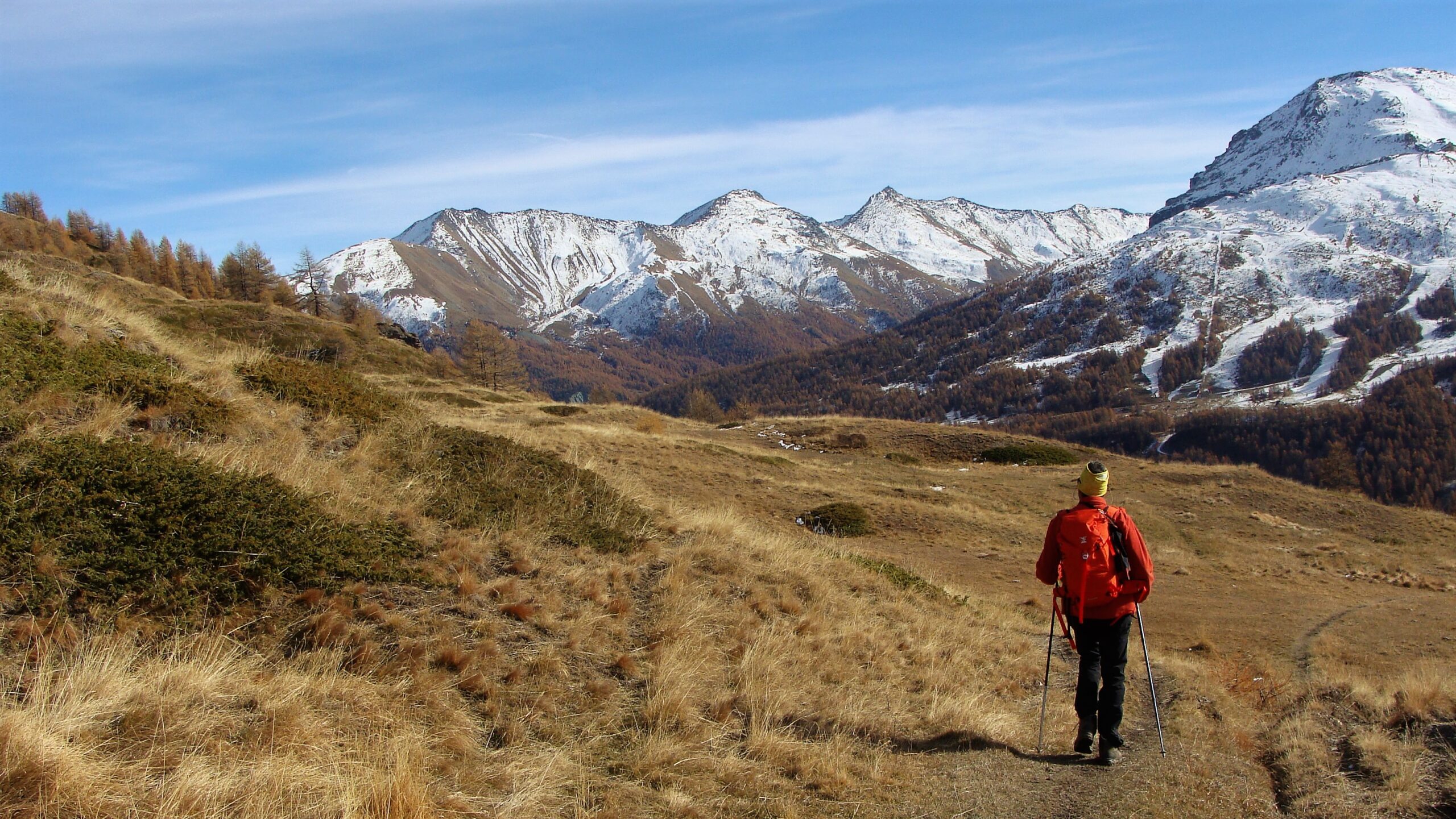
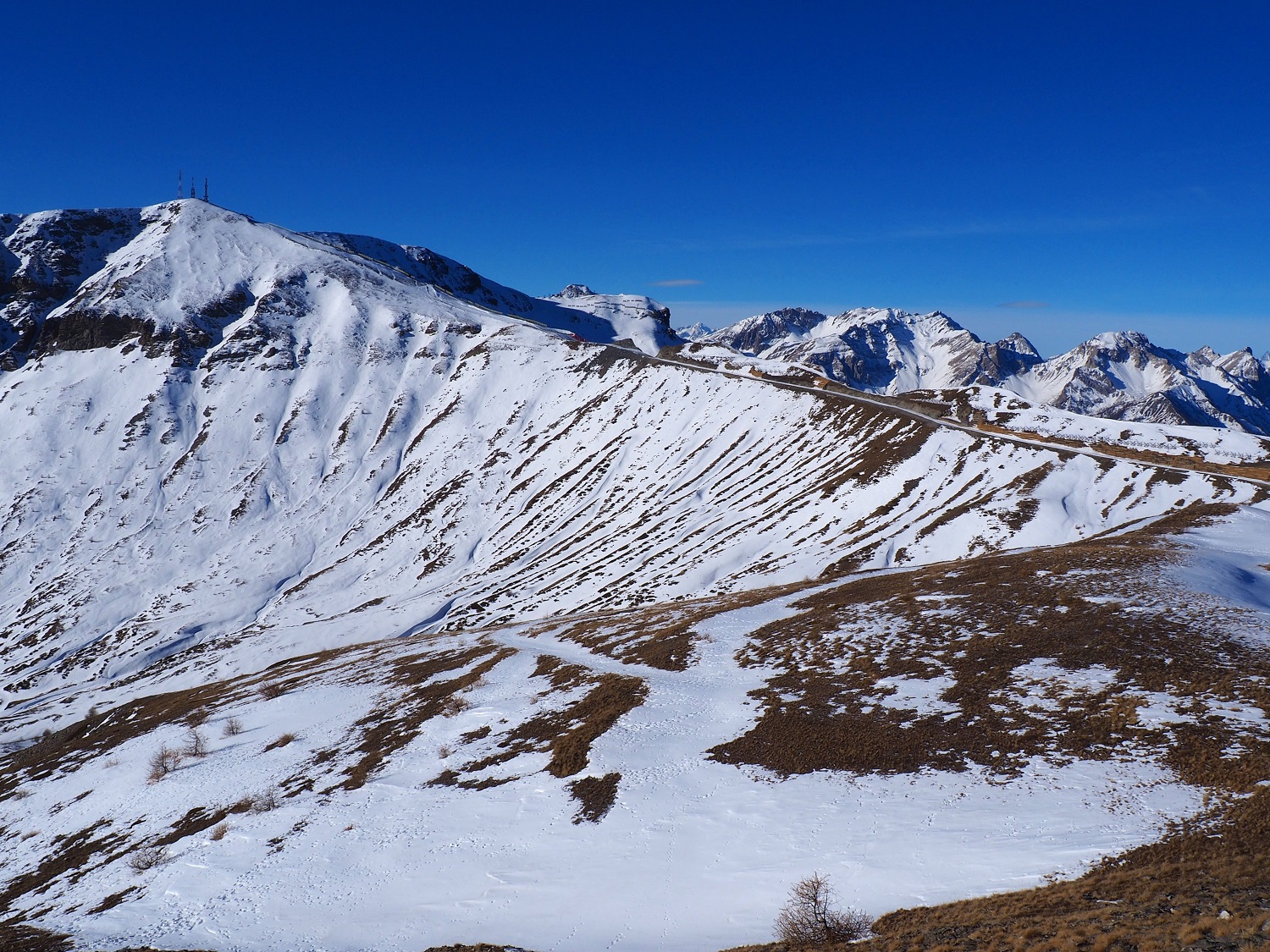
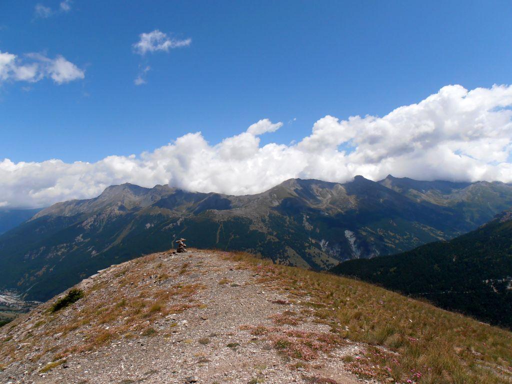
Da qui si sale a Sud-Est lungo la Costa Treceira raggiungendo un primo rilievo (ometto).
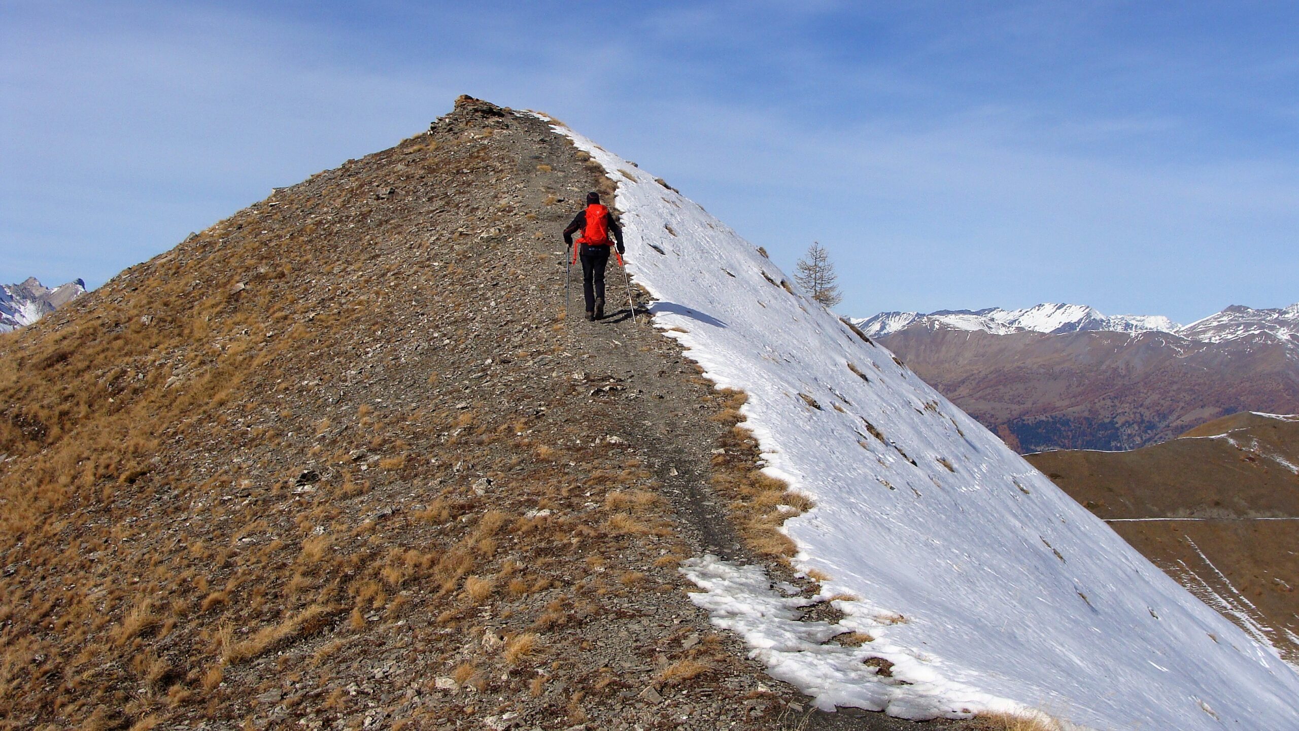
Si scende al colletto successivo Col della Vachera (2473 m.) dal quale si sale infine alla vetta del Pitre de L’Aigle 2529 m.
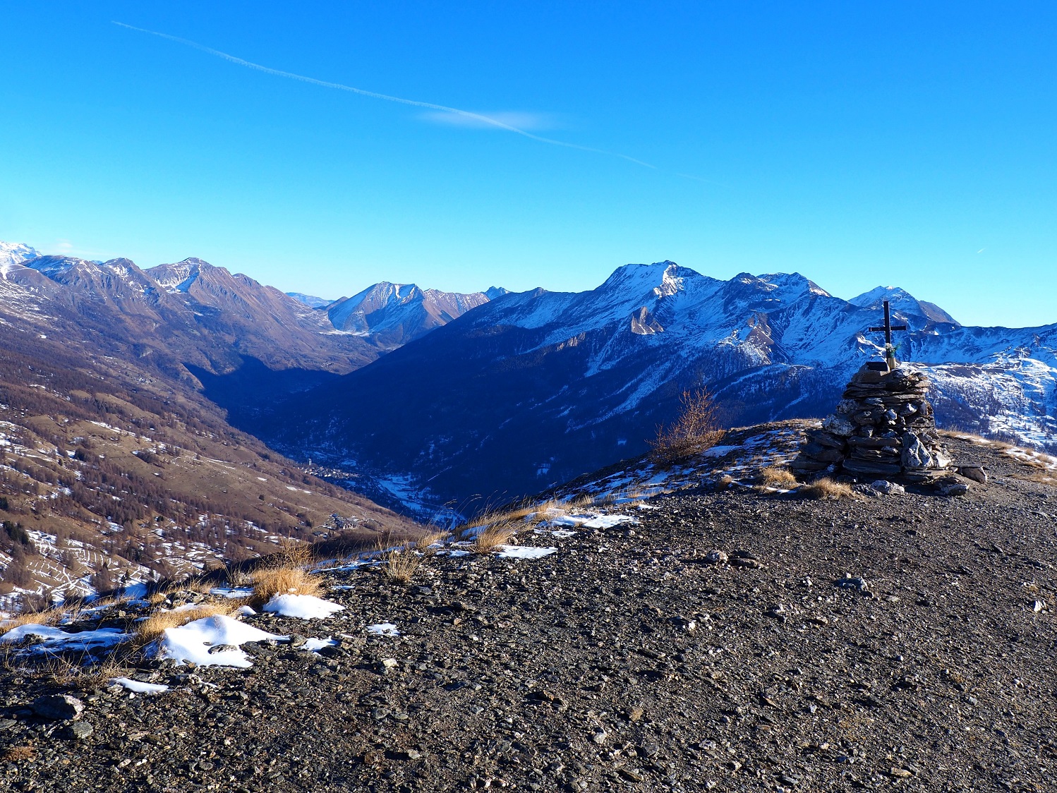
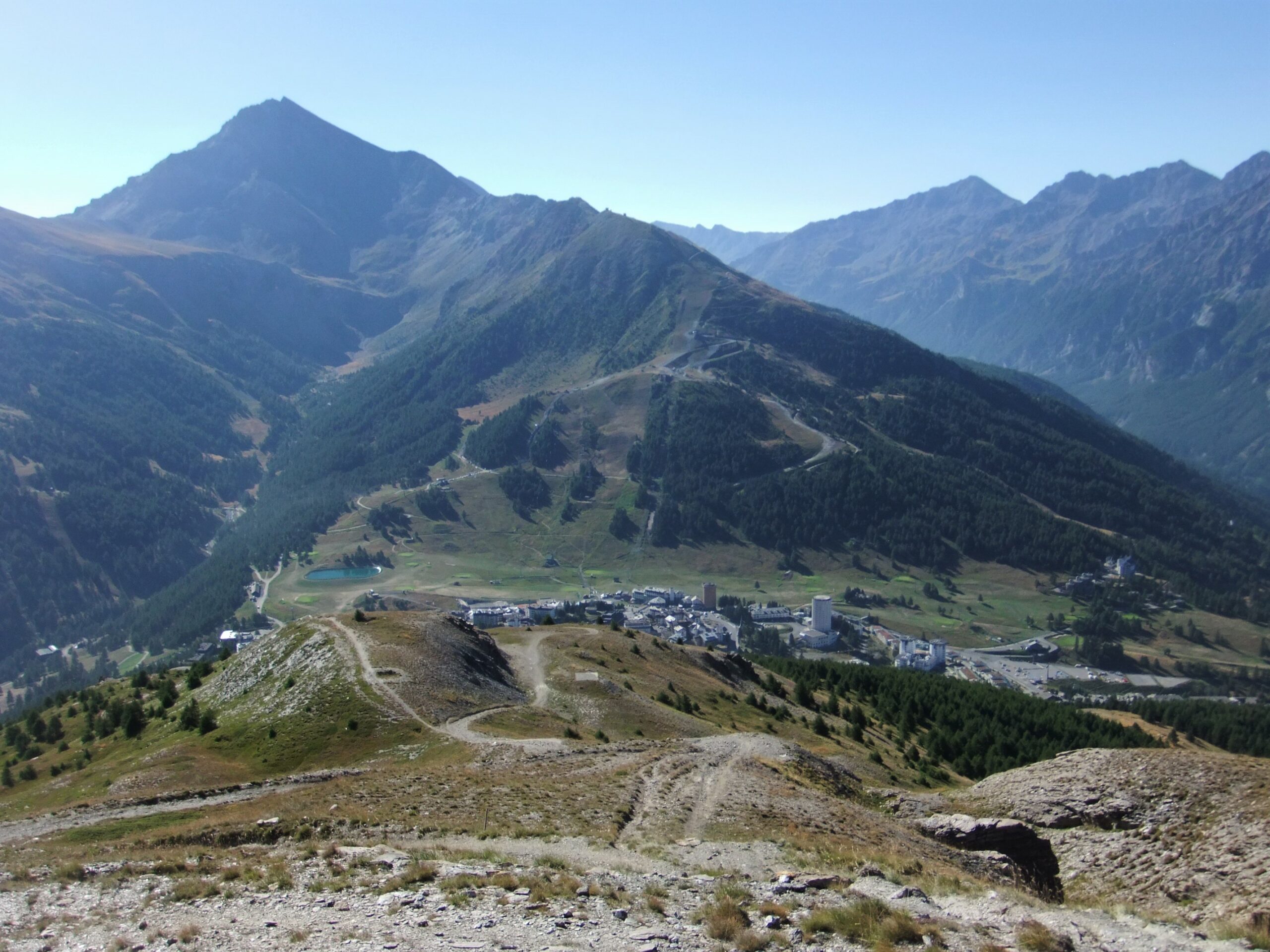
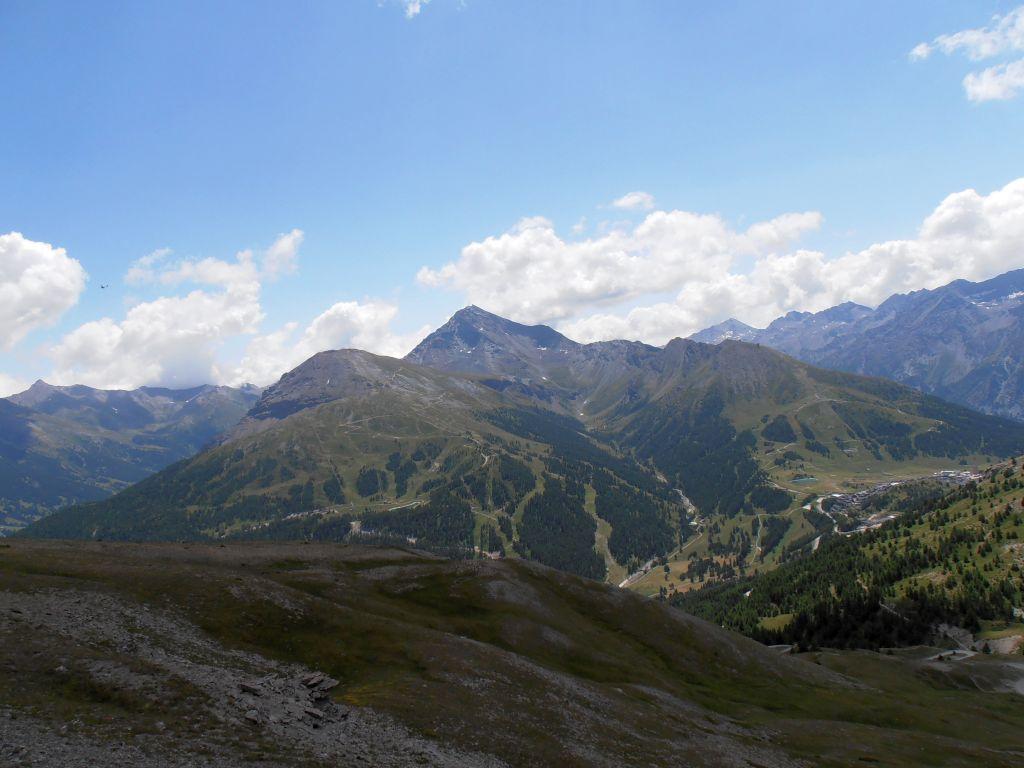
In discesa direttamente lungo i pendii meridionali del Pitre de l’Aigle fino a raggiungere la strada bianca che sale da Sestriere lungo il Vallon Croux in direzione del Col Basset.
Si segue la strada bianca in discesa fino al tornante di q. 2220.
Da qui si continua in discesa lungo il Sentiero dei Forestali che conduce al parcheggio dei Camper a q.2045 o in alternativa si segue il Sentiero Gelindo Bordin che traversa a mezza costa tutto il versante meridionale del Fraiteve fino a raggiungere di nuovo la strada di servizio agli impianti.Lungo questa si torna al punto di partenza.
- Cartografia:
- IGC 105 ; Fraternali 1:25000 n.1 Alta Valle di Susa
Nelle vicinanze Mappa
Itinerari
16/02/2025 TO, Sestriere D+ 390 m E Sud
Basset (Col) da Sestriere
 50m
50m
13/12/2015 TO, Sestriere D+ 182 m E Est
Rotta (Monte) da Sestriere
 50m
50m
06/10/2024 TO, Sestriere D+ 631 m E Sud-Est
Fraiteve (Monte) da Sestriere
50m
30/08/2025 TO, Sestriere D+ 1246 m EE Nord-Ovest
Rognosa del Sestriere (Punta) da Sestriere per il Passo di San Giacomo
 600m
600m
17/09/2025 TO, Sestriere D+ 692 m EE Ovest
Querellet (Monte) da Sestriere, anello per il Passo di San Giacomo e Monte Sises
 650m
650m
29/06/2025 TO, Sestriere D+ 930 m E Nord-Ovest
Banchetta (Passo della) da Sestriere Borgata per il vallone del Chisonetto
 1.7Km
1.7Km
29/09/2024 TO, Sauze di Cesana D+ 650 m E Sud
Argentera (Valle) da Bessen Haut, anello per il sentiero Balcone e Brusà del Plan
 3.1Km
3.1Km
29/09/2024 TO, Sauze di Cesana D+ 1150 m EE Sud-Ovest
Giornalet (Monte) da Bessen Haut per il versante SO
 3.1Km
3.1Km
28/07/2025 TO, Sauze di Cesana D+ 1200 m EE Ovest
Fauri Sud (Punta) da Bessen Haut
3.1Km
01/11/2023 TO, Sauze di Cesana D+ 380 m T Varie
Ratazzo Ugo (Bivacco) da Bessen Haut
 3.1Km
3.1Km
Servizi
3.2Km
5.8Km
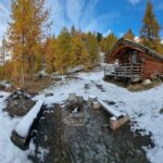
La capanna del sole Ristorante
Pragelato
5.8Km
Al Mulino Ristorante
Pragelato
6.1Km
Mulino di Laval Rifugio
Pragelato
7Km
Centro Ristorante
Cesana Torinese
7.5Km
La Fontana del Thures Rifugio
Cesana Torinese
7.6Km
L’Cantun B&B
Sauze D'oulx
7.6Km
paddy mc ginty Ristorante
Sauze d'Oulx
7.6Km
orto del frate Ristorante
Sauze d'Oulx
7.9Km