1.3Km
1.3Km
Note
 50m
50m
50m
50m
50m
50m
50m
1.3Km
1.3Km
1.3Km
50m
50m
50m
50m
50m
50m
50m
1.3Km
1.3Km
1.3Km
1.3Km
1.3Km
1.4Km
1.9Km
1.9Km
 2Km
2Km
4.6Km
4.7Km
4.7Km
5.1Km
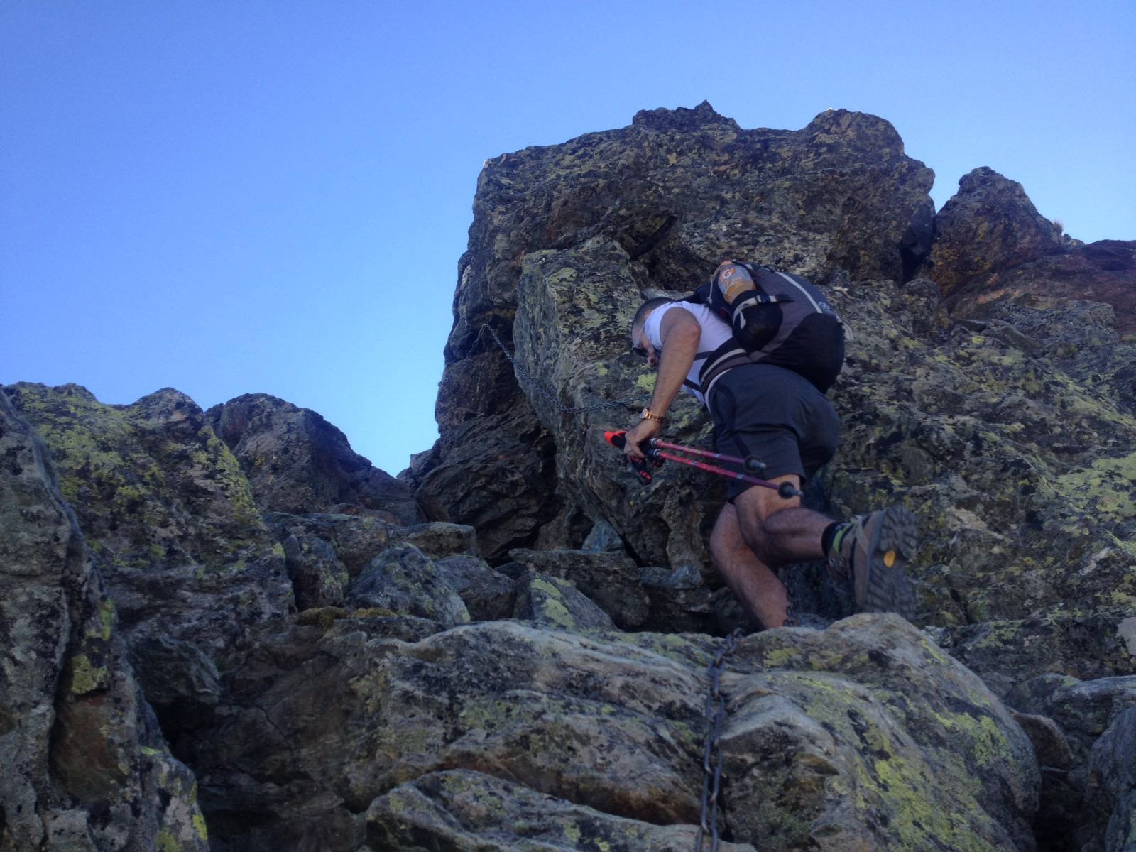
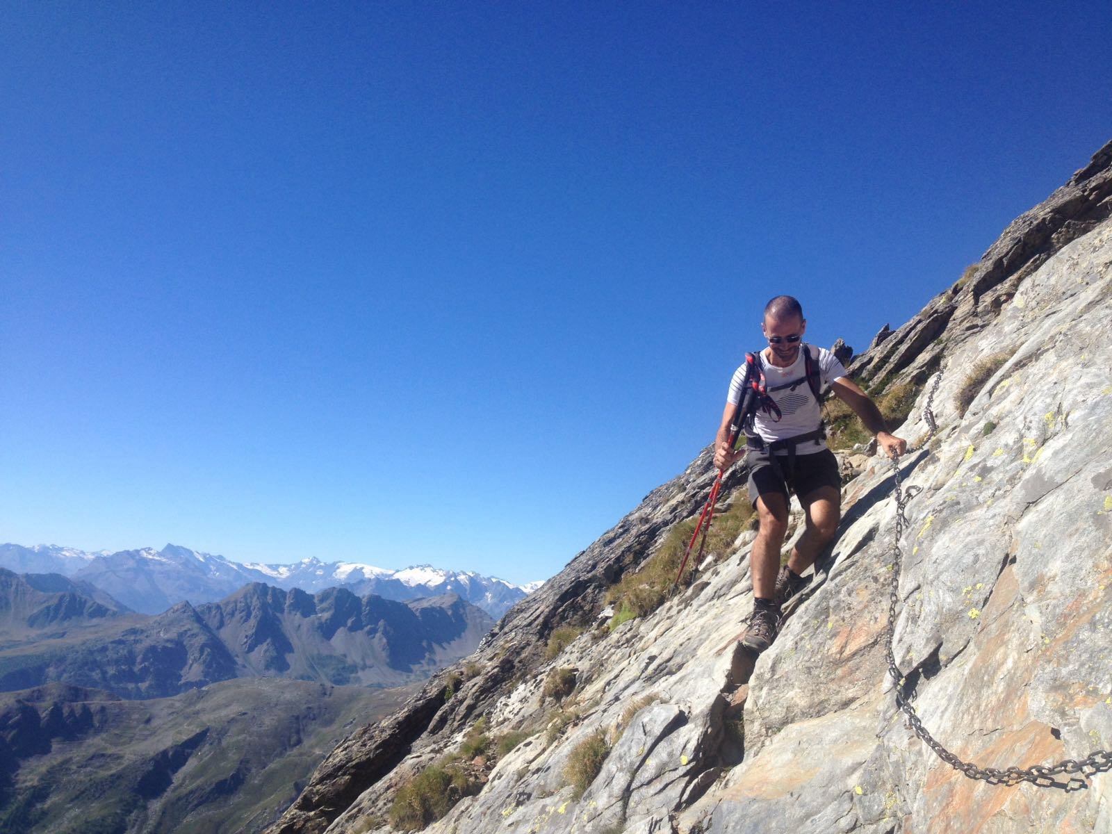
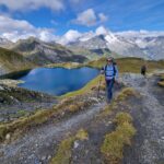
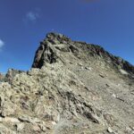
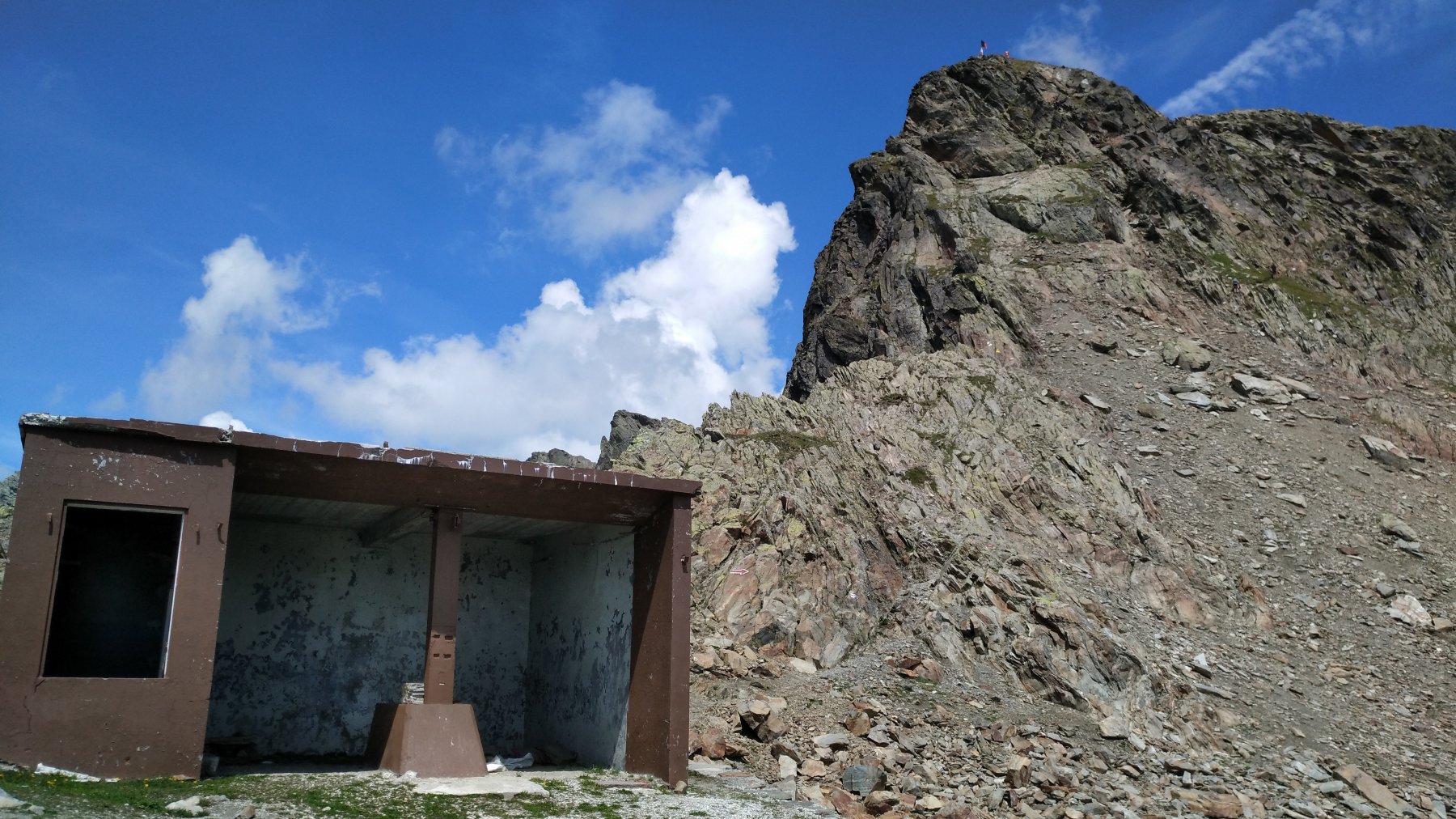
Bella e divertente escursione di cresta, due passaggi di primo grado sono facilitati da catene e appoggi metallici per i piedi.
Avvicinamento
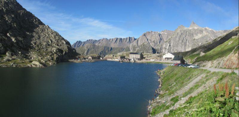
Strada statale del Col del gran San Bernardo, circa un km. prima del colle
Descrizione
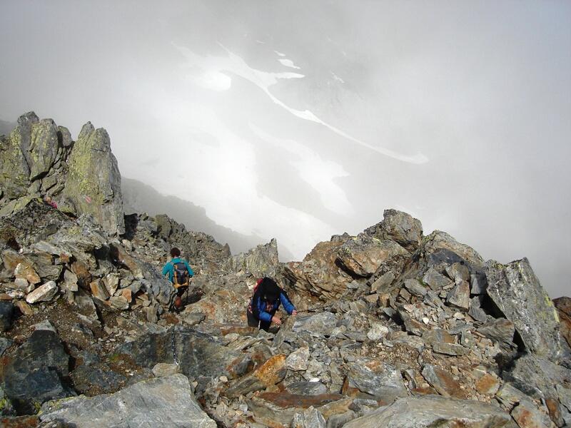
Dal parcheggio sotto la montagna Baou, si ignorano le indicazioni verso sinistra per il col Fenetre e si sale a destra per tracce di sentiero valicando un torrente e risalendo verso la cresta soprastante.
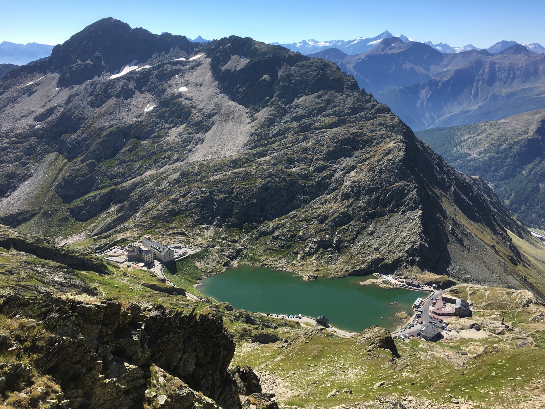
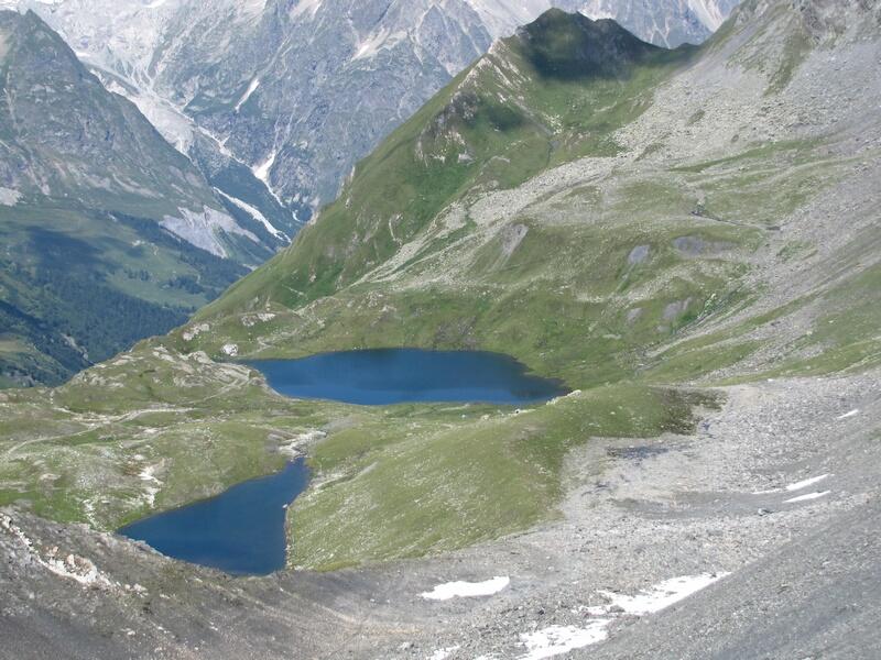
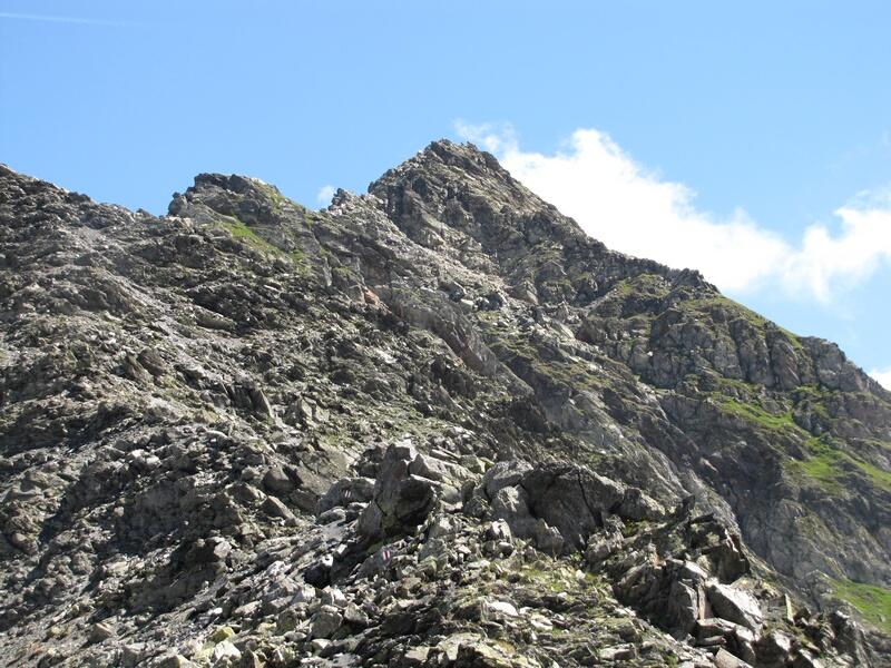
Il versante è tutto facilmente percorribile e percorso da varie tracce di sentiero che possono indurre confusione.
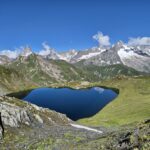
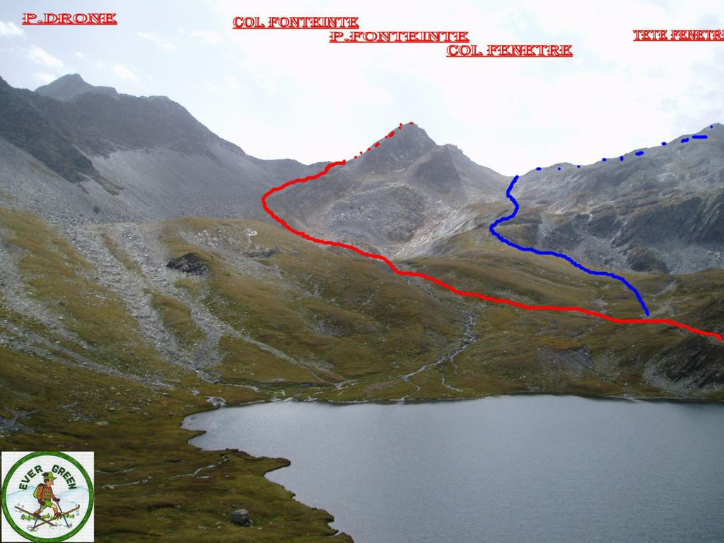
Si incontra una traccia più marcata proveniente dal Colle del Gran San Bernardo, segnalata da ometti, più facilmente individuabile in discesa, che conduce al col de Fonteinte, sulla cresta di confine, dove arriva un sentiero che sale dalla valle Ferret svizzera e dove inizia la cresta O.
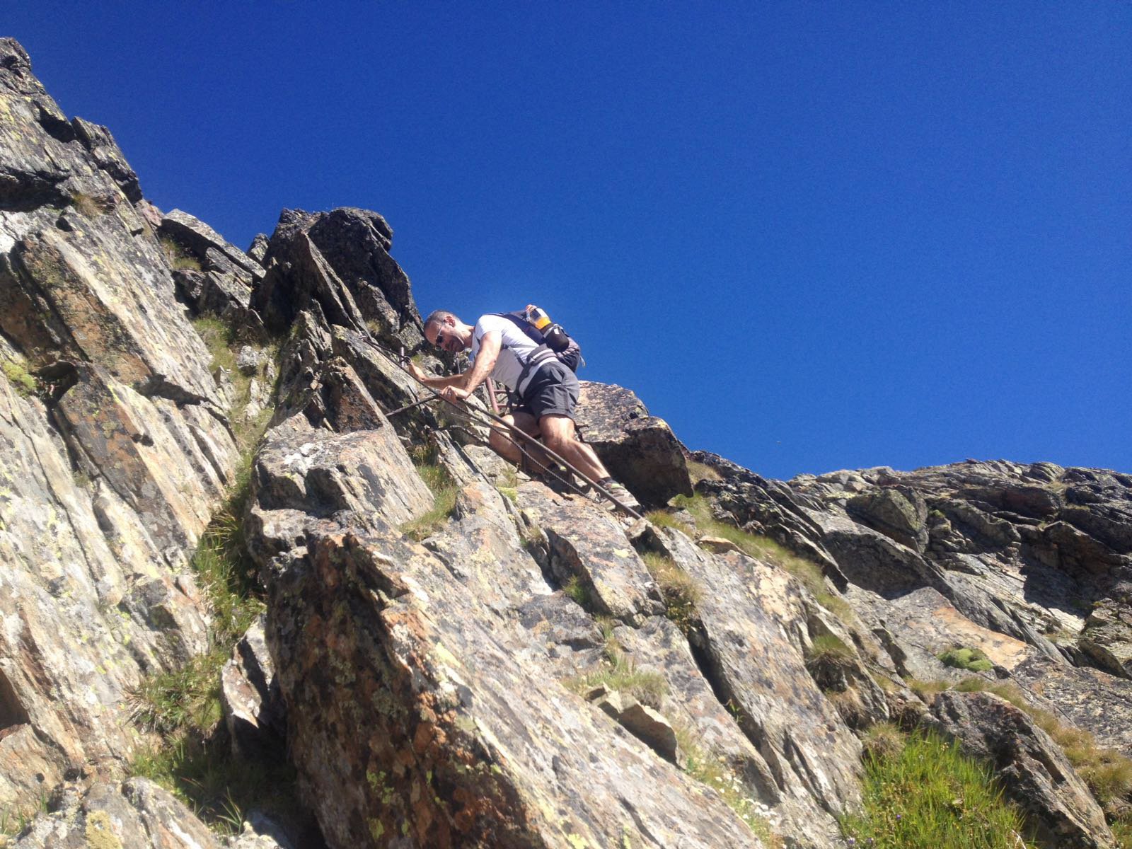
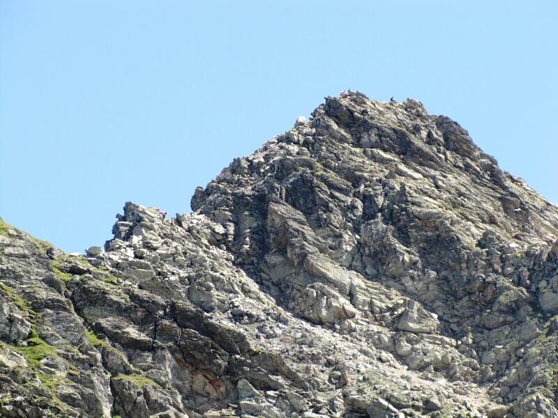
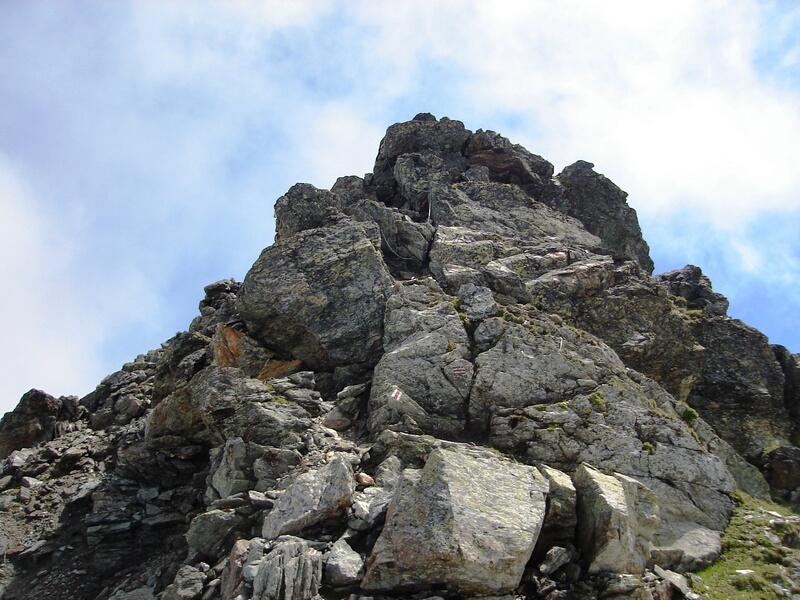
Il tracciato è molto ben segnalato, si insinua tra le roccette, quasi mai esposto.
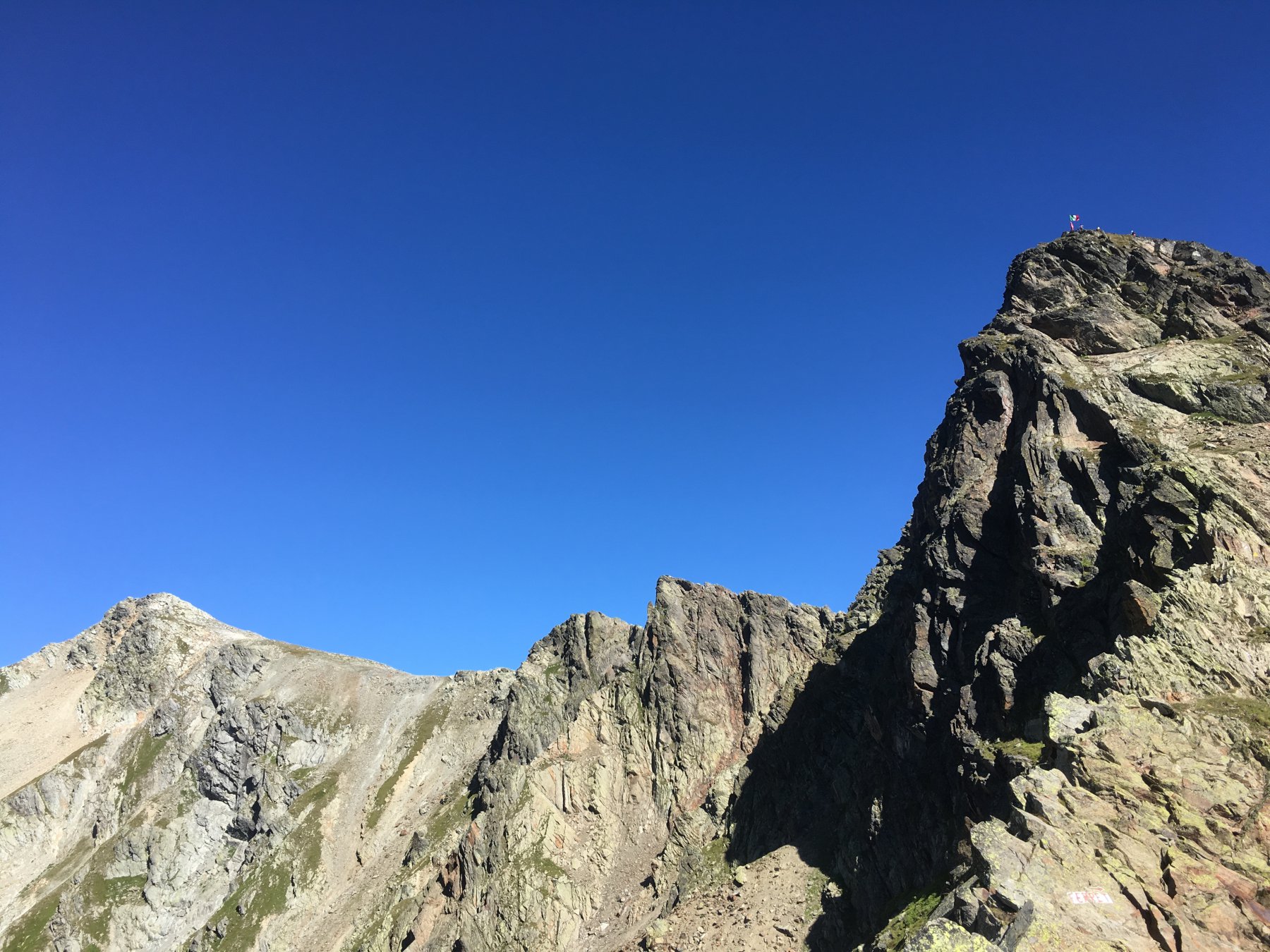
Con l’aiuto di catene e due gradini metallici si supera una breve placca liscia.
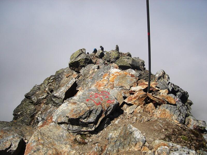
Un altro passaggio con catene si supera più facilmente e da esso si raggiunge la cima segnalata da un ometto e un palo.
- Cartografia:
- Carta dei sentieri n.5 Escursionista editore
- Bibliografia:
- Buscaini-Guida alpi Pennine
Nelle vicinanze Mappa
Itinerari
02/09/2023 AO, Saint-Rhemy-En-Bosses D+ 797 m E Sud-Est
Arpalle (Col d’) da Montagna Baus
 50m
50m
03/08/2025 AO, Saint-Rhemy-En-Bosses D+ 831 m EE Tutte
Fonteinte (Tete de) da Montagna Baus, anello per i laghi Fenêtre
 50m
50m
07/08/2025 AO, Saint-Rhemy-En-Bosses D+ 950 m E Varie
Fenetre, Bastillon, Chevaux (Colli) da Montagna Baus, anello
 50m
50m
08/09/2023 AO, Saint-Rhemy-En-Bosses D+ 700 m E Tutte
Fenetre (Tete de) da Montagna Baus, anello per i Lacs de Fenetre
 50m
50m
29/08/2025 AO, Saint-Rhemy-En-Bosses D+ 546 m EE Est
Fourchon (Mont) da Montagna Baus
 50m
50m
12/09/2025 AO, Saint-Rhemy-En-Bosses D+ 563 m EE Nord-Ovest
Pan di Zucchero o Pain de Sucre da Montagna Baus per il versante NO
 50m
50m
14/08/2025 AO, Saint-Rhémy-en-Bosses D+ 1065 m E Varie
Névé de la Rousse (Col) da Alpe Baou per Fenêtre de Ferret e Col d’Arpalle
 50m
50m
16/08/2025 AO, Saint-Rhemy-En-Bosses D+ 530 m EEA Sud-Est
Drone (Pointe de) e Grande Chenalette dal Colle del Gran San Bernardo
 1.3Km
1.3Km
31/08/2023 AO, Saint-Rhemy-En-Bosses D+ 300 m EEA Sud-Est
Grande Chenalette dal Colle del Gran San Bernardo
 1.3Km
1.3Km
28/06/2015 AO, Saint-Rhemy-En-Bosses D+ 1283 m T Varie
Via Francigena Tappa AO1: dal Colle del Gran San Bernardo a Etroubles
 1.3Km
1.3Km
Servizi
1.3Km
 1.3Km
1.3Km
Albergo Italia Albergo
Saint-rhemy-en-bosses 1.4Km
1.4Km
Du Lac Ristorante
Saint-rhemy-en-bosses 1.9Km
1.9Km
Hospice du Grand-St-Bernard Albergo
Bourg-St-Pierre 1.9Km
1.9Km
Auberge de l’Hospice Ristorante
Bourg-Saint-Pierre
2Km
De l’Hospice Rifugio
Bourg-Saint-Pierre 4.6Km
4.6Km
Arp du Jeu Ristorante
Saint-rhemy-en-bosses 4.7Km
4.7Km
Grand Golliat B&B
Saint-rhemy-en-bosses 4.7Km
4.7Km
Grand Golliat Ristorante
Saint-Rhemy-En-Bosses 5.1Km
5.1Km