200m
200m

Note
 50m
2.3Km
4.3Km
4.3Km
4.3Km
4.3Km
4.3Km
4.3Km
4.3Km
50m
2.3Km
4.3Km
4.3Km
4.3Km
4.3Km
4.3Km
4.3Km
4.3Km
200m
200m
4.3Km
5Km
5.1Km
5.2Km
5.2Km
5.4Km
5.4Km
5.8Km
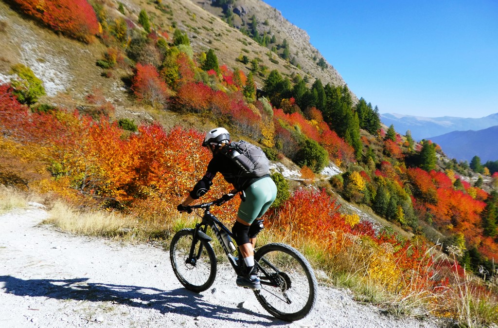
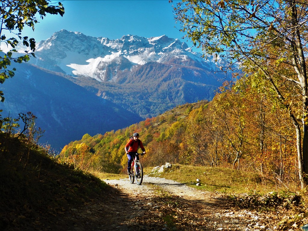
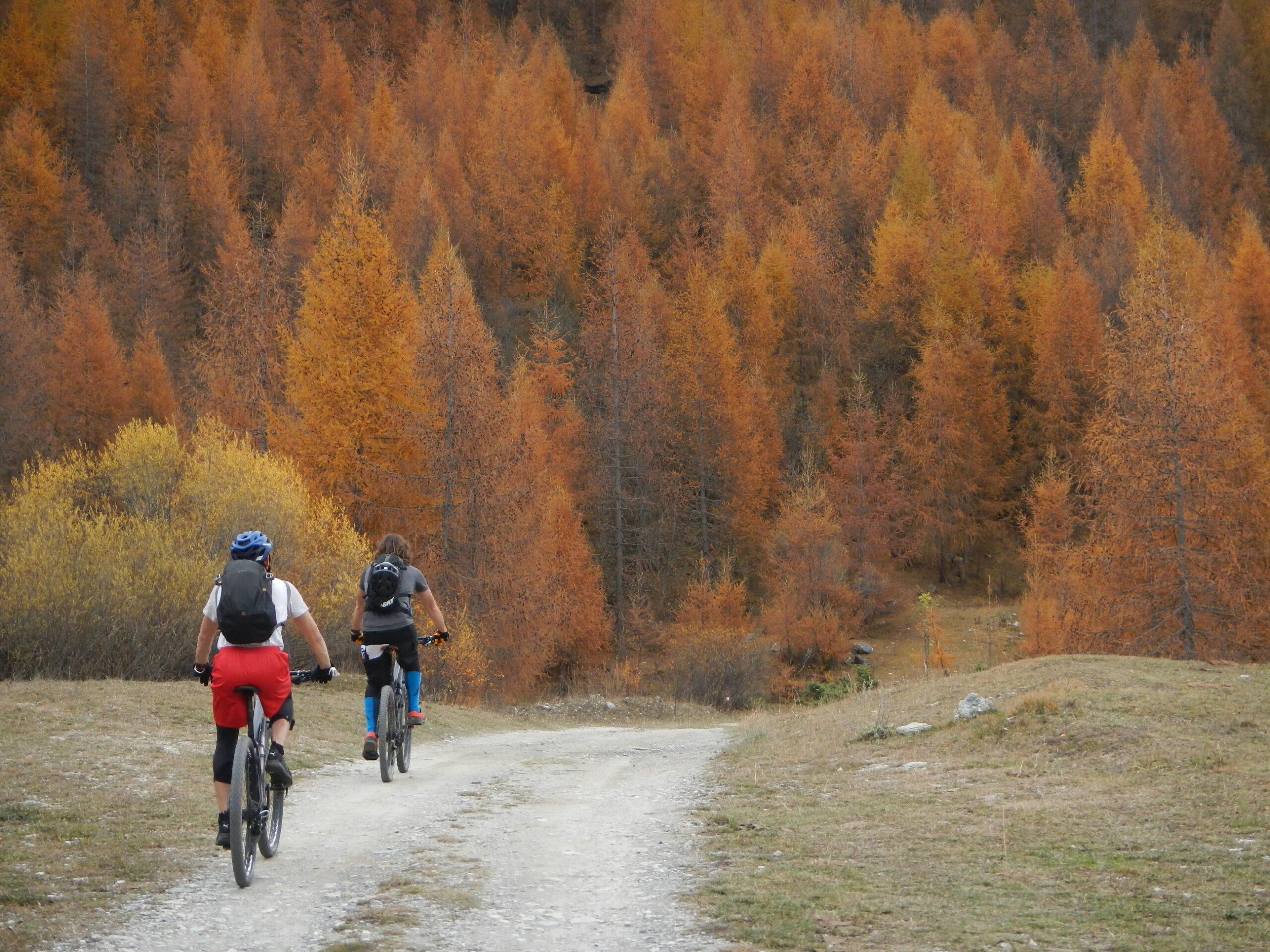
Giro molto bello, consigliabile in autunno per i colori che faggi e ciliegi conferiscono al paesaggio.
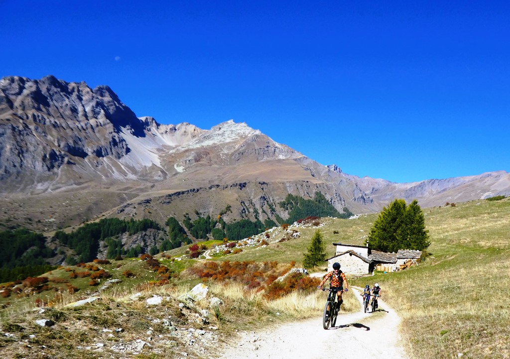
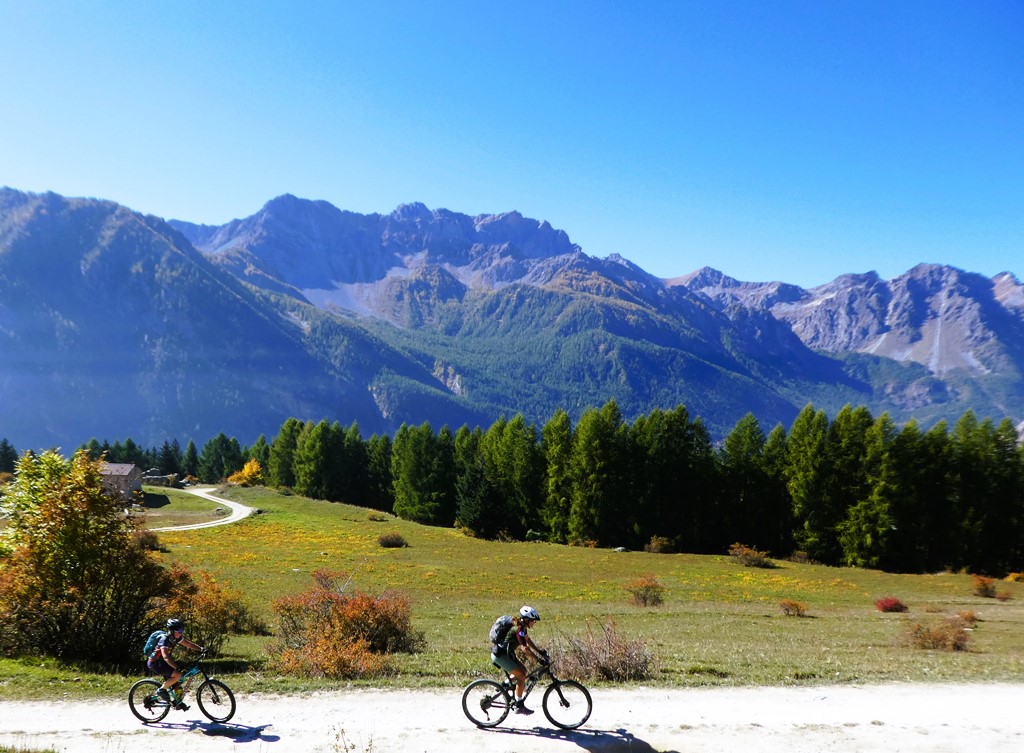
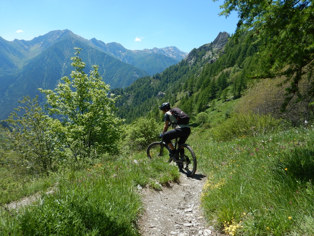
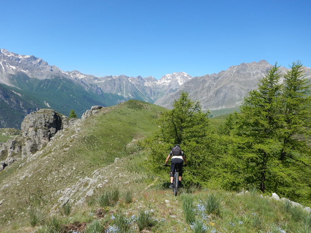
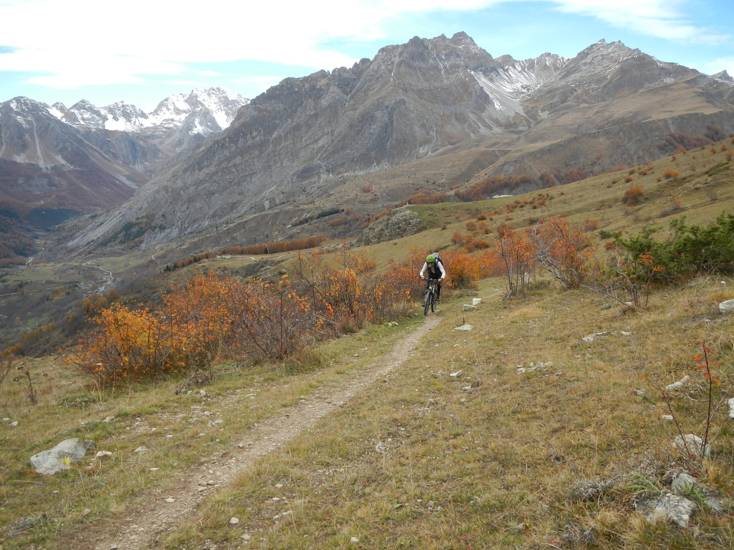
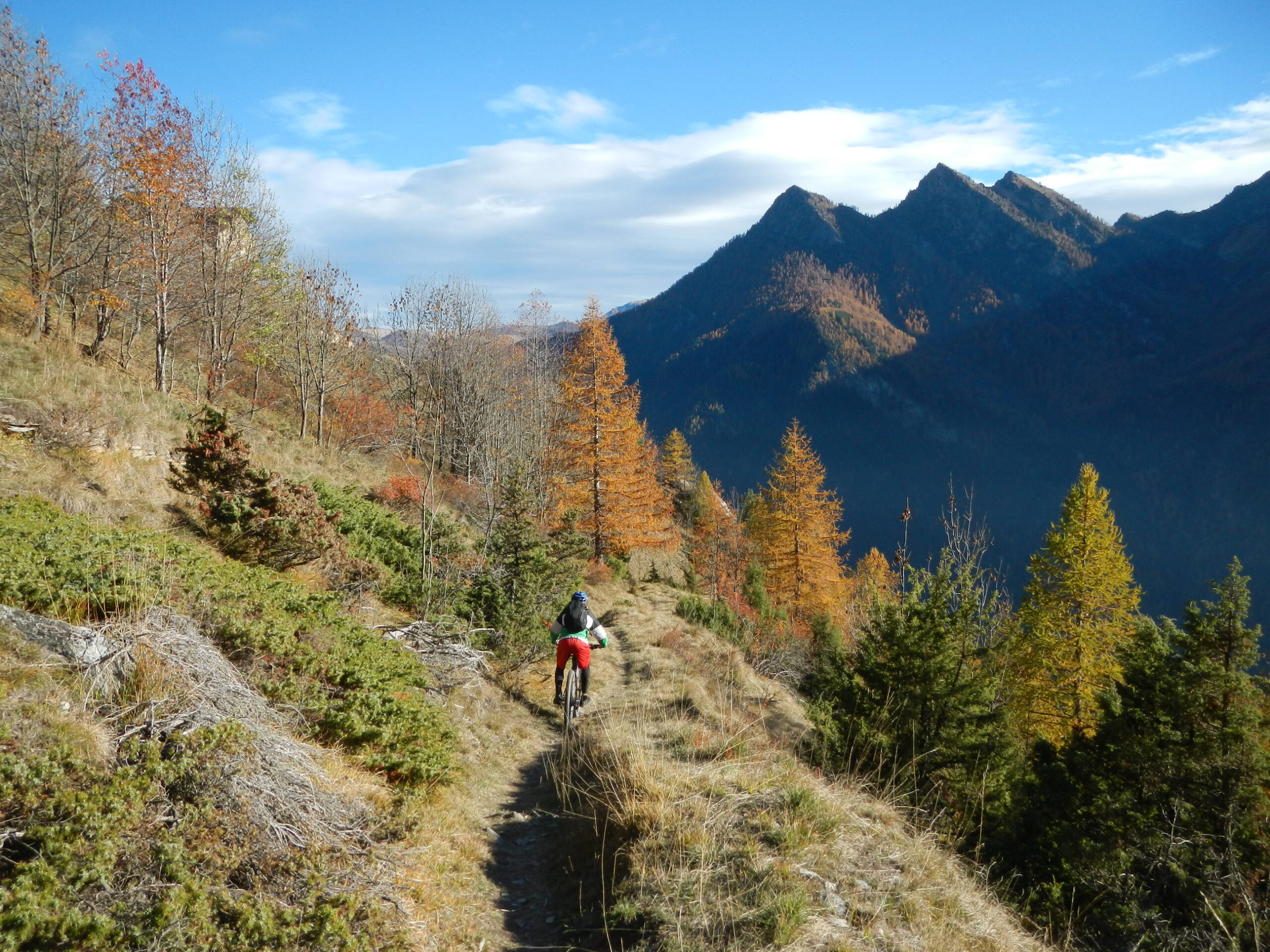
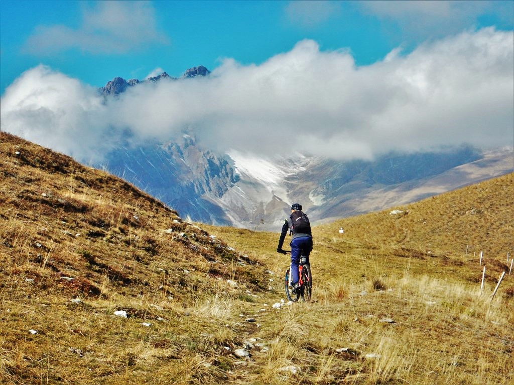
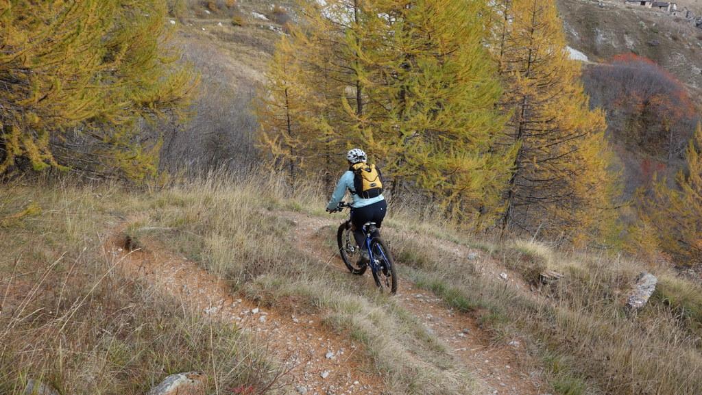
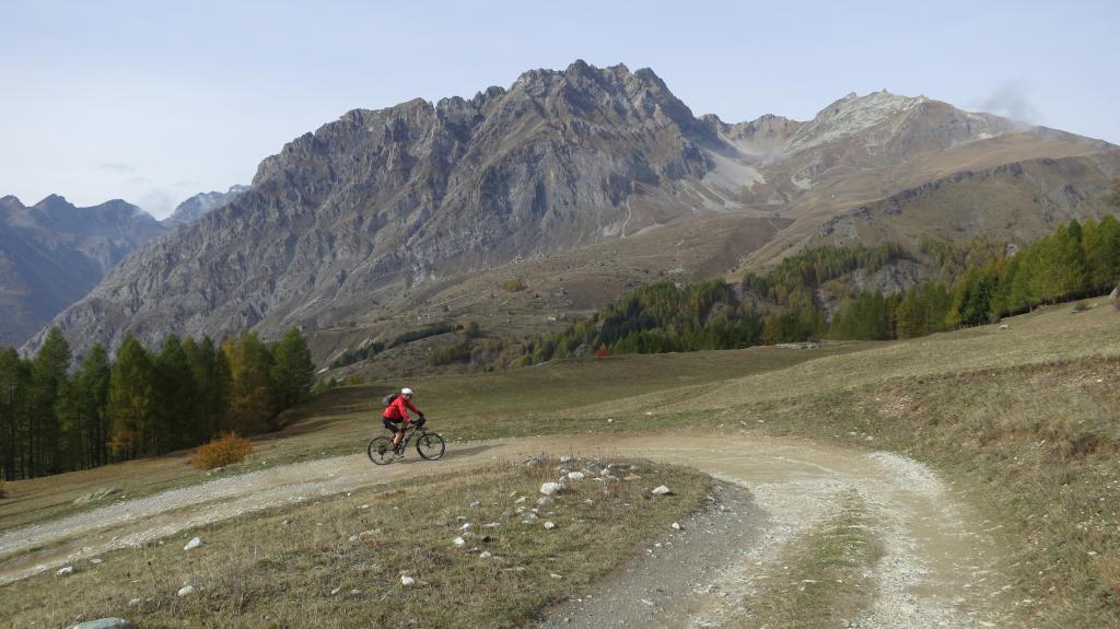
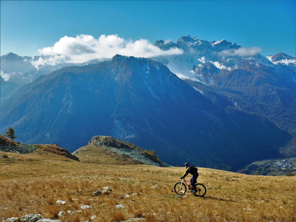
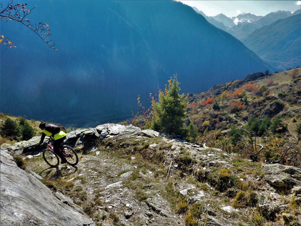
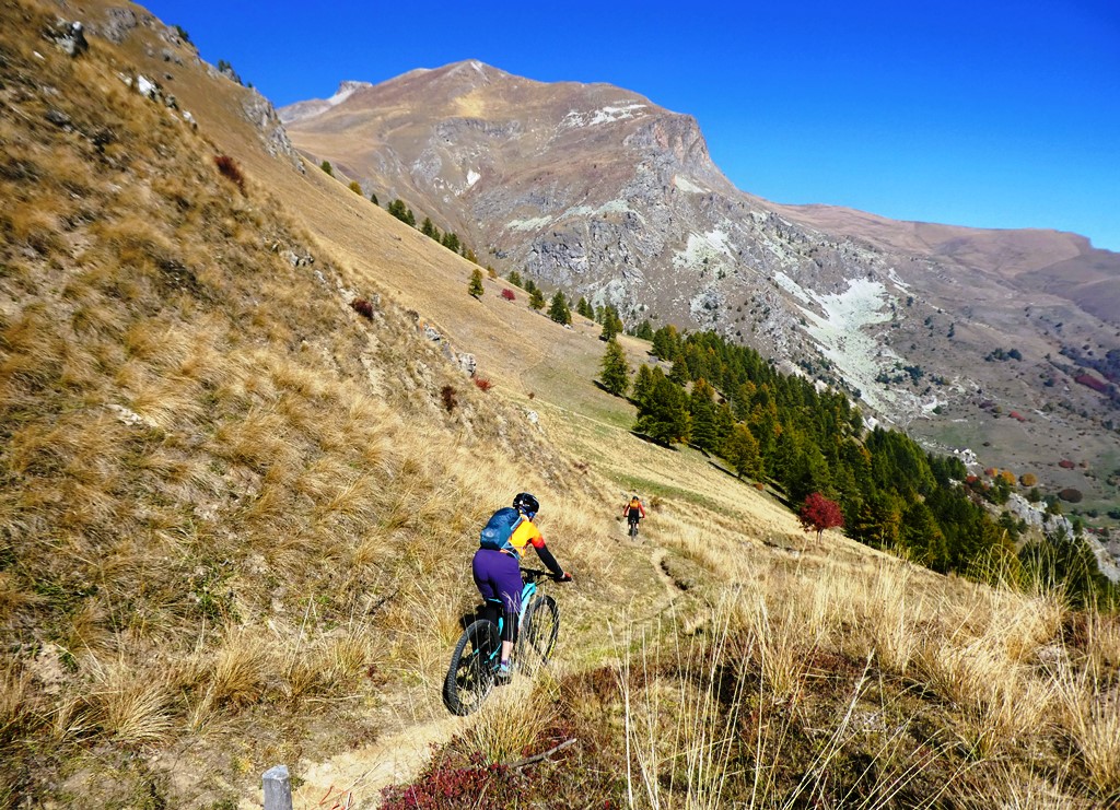
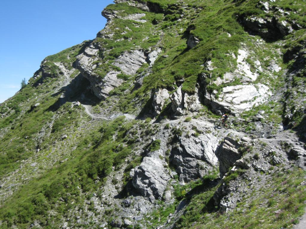
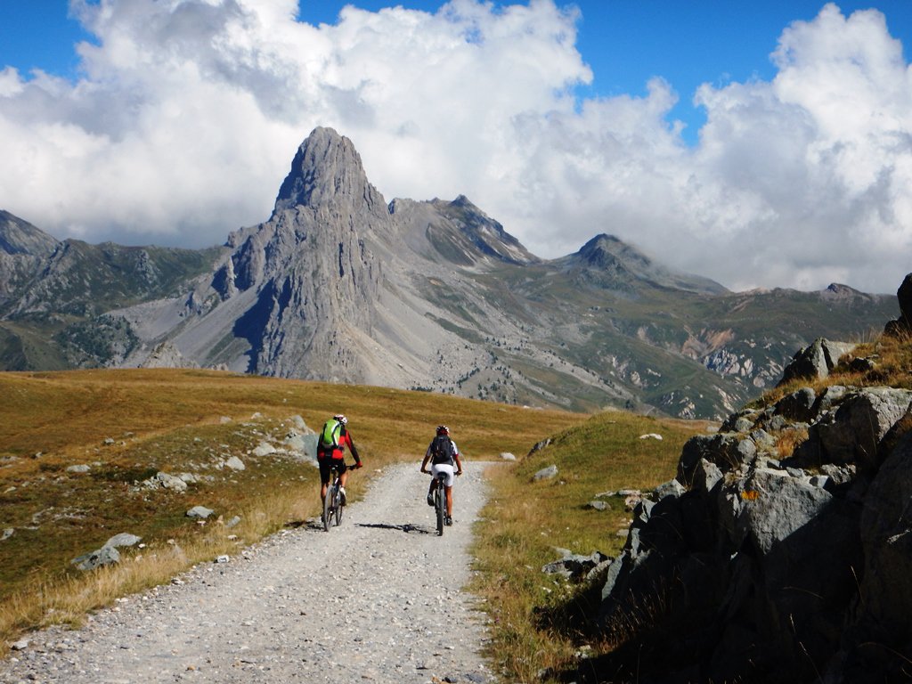
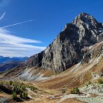
La salita è piacevole ed i tratti in cui bisogna spingere la bicicletta sono molto brevi, la discesa mai troppo difficile e attraversa luoghi molto selvaggi, soprattutto nella sua parte alta.
Avvicinamento
La salita è piacevole ed i tratti in cui bisogna spingere la bicicletta sono molto brevi, la discesa mai troppo difficile e attraversa luoghi molto selvaggi, soprattutto nella sua parte alta.
.
Descrizione
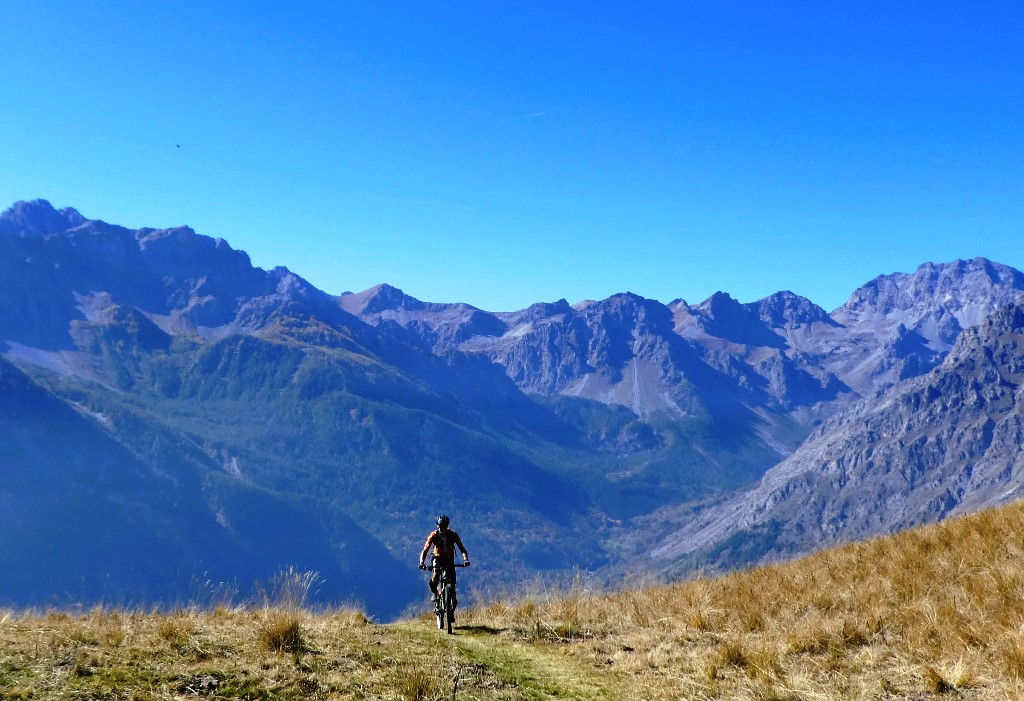
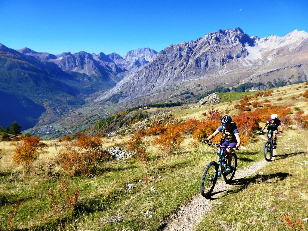
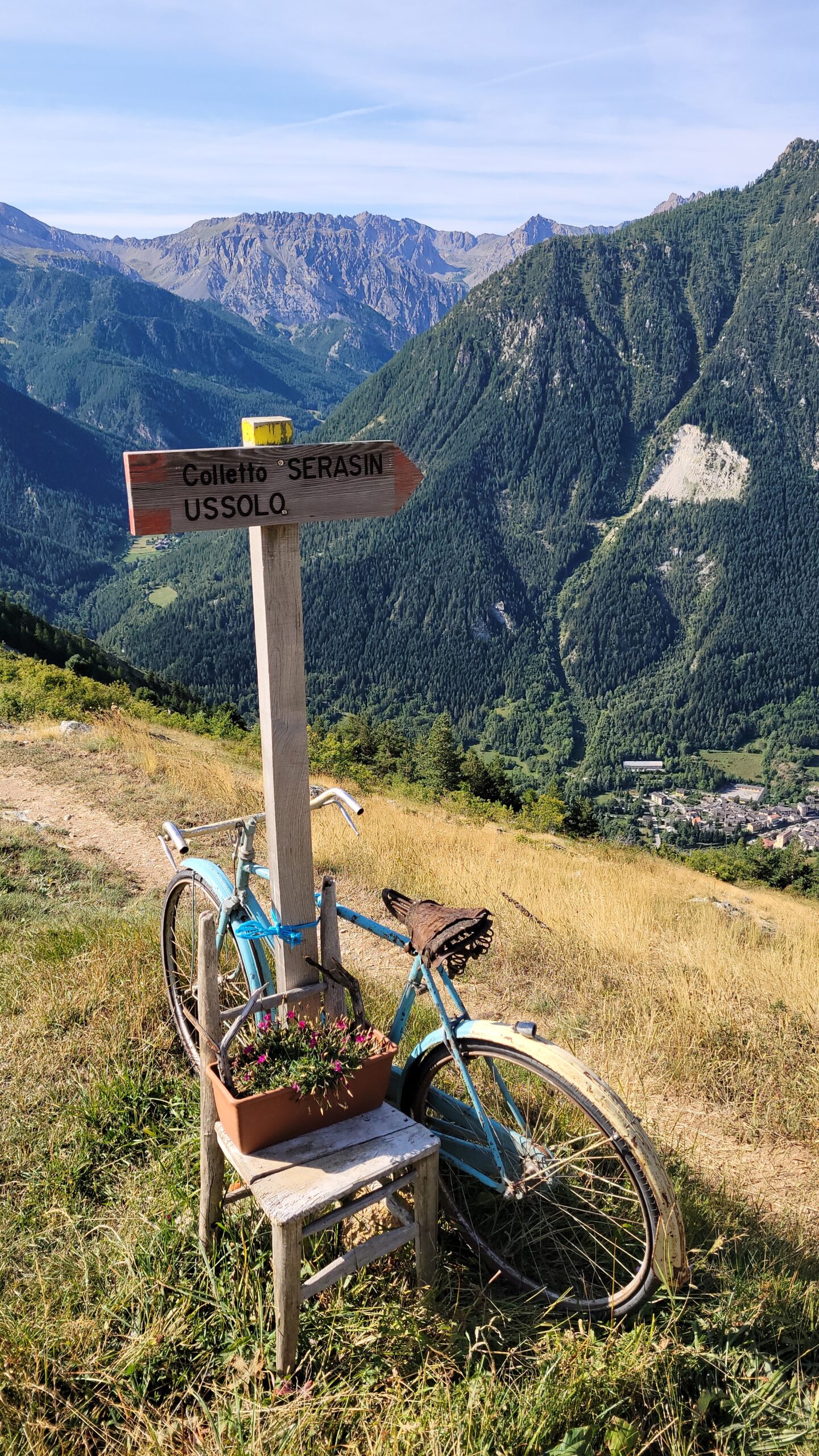
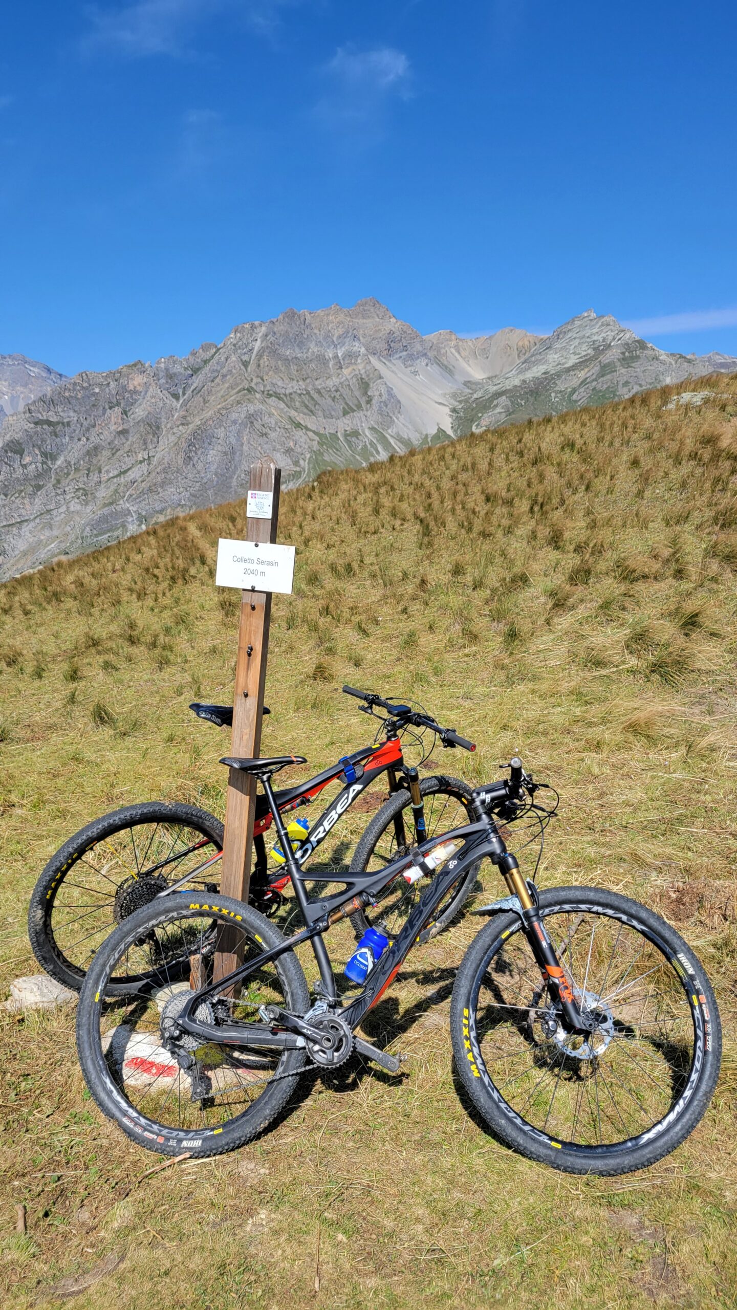
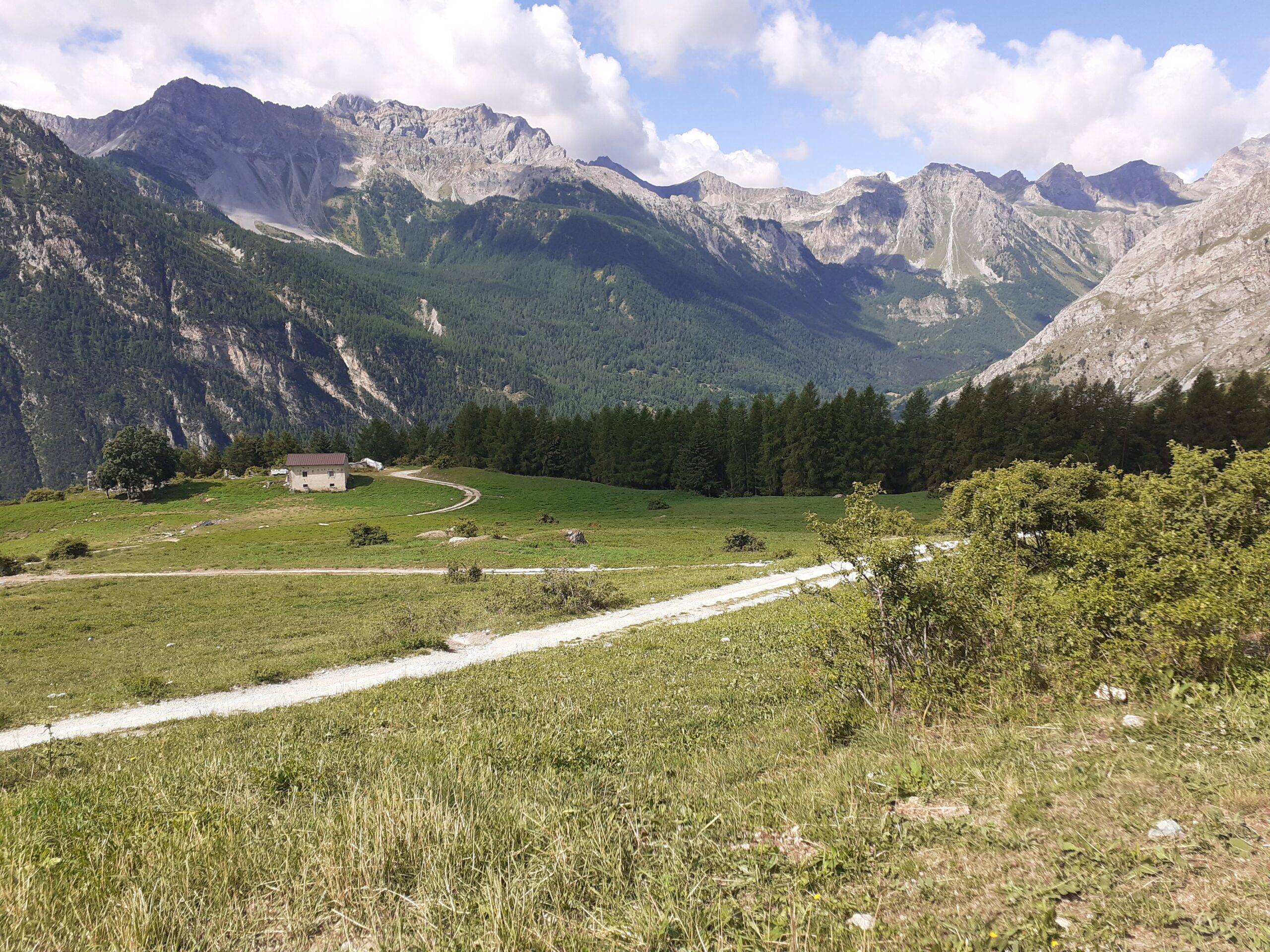
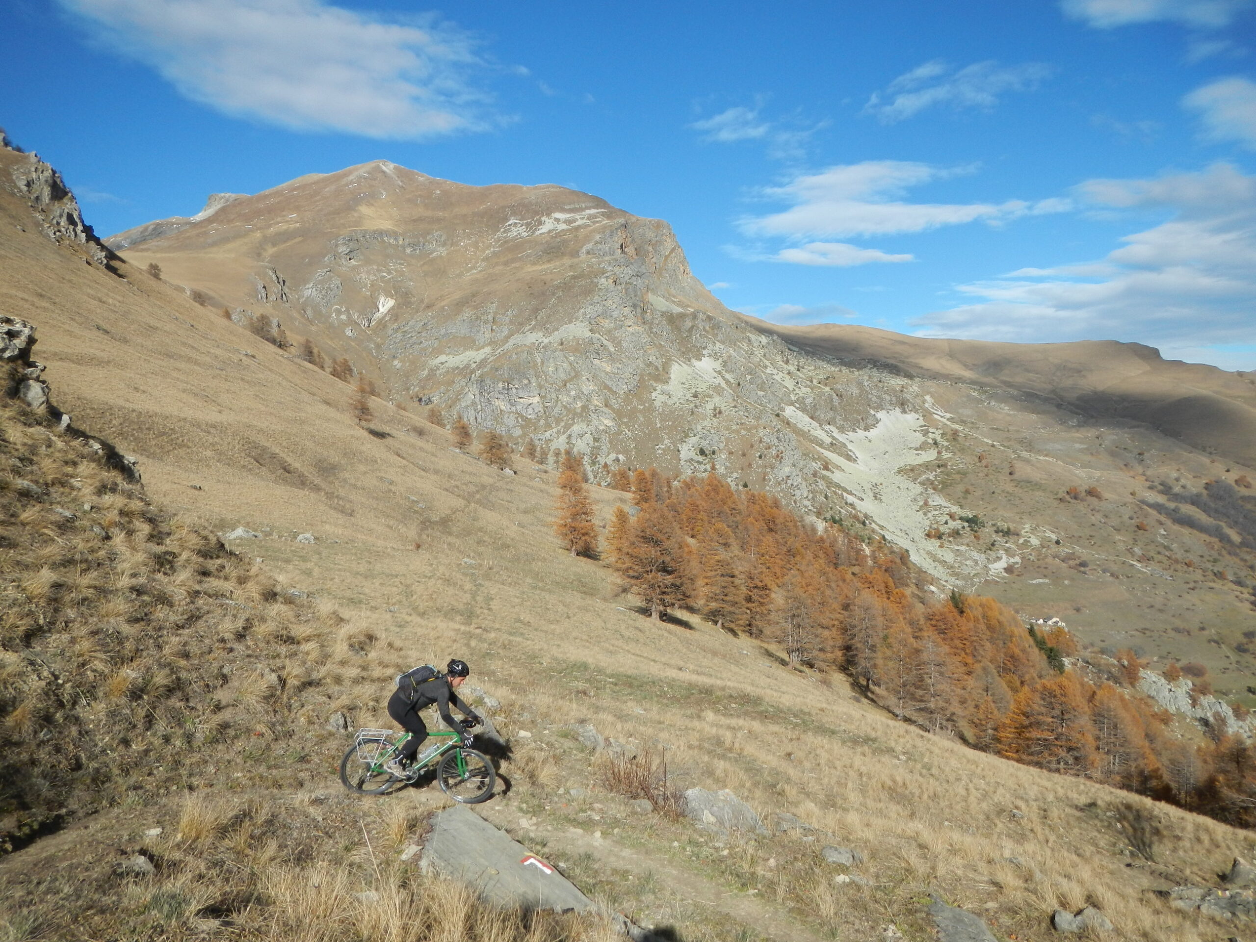
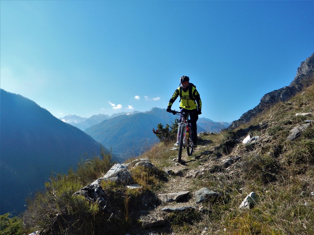
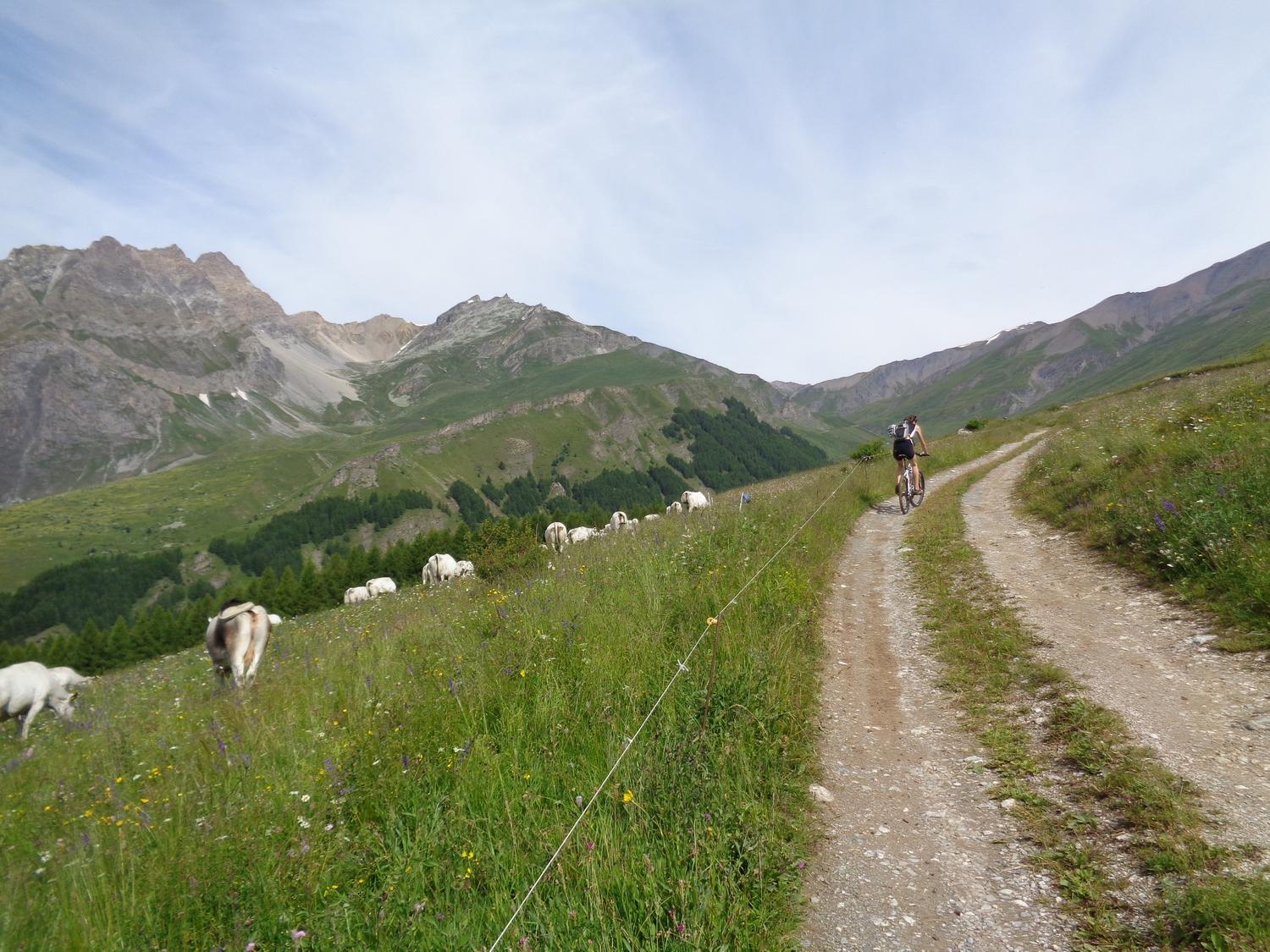
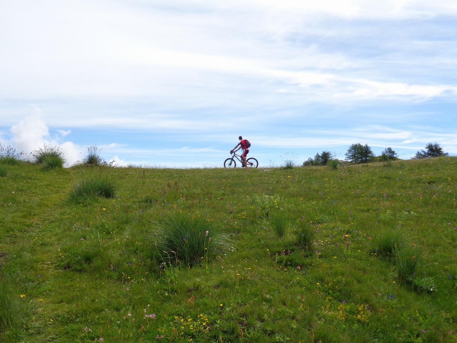
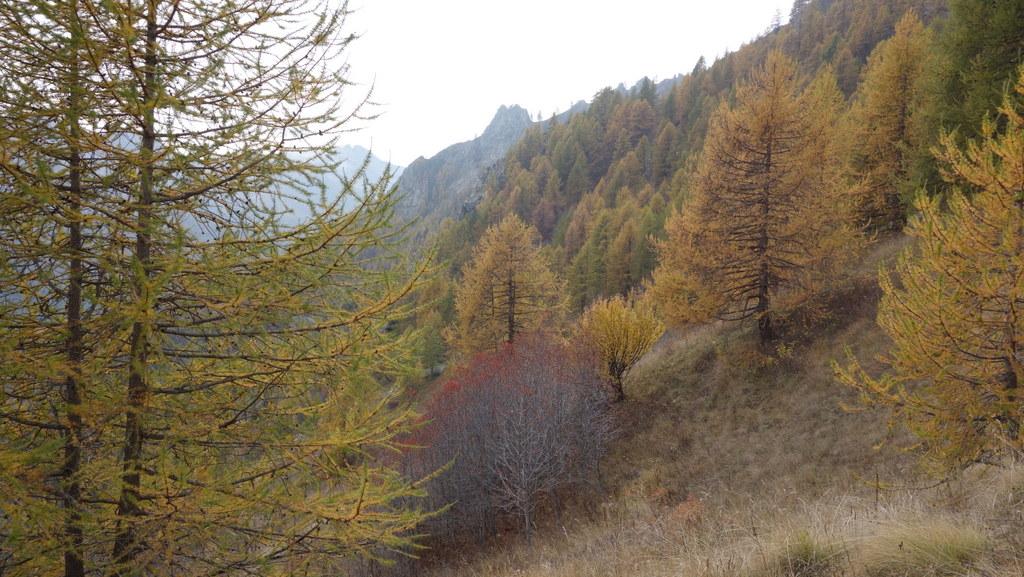
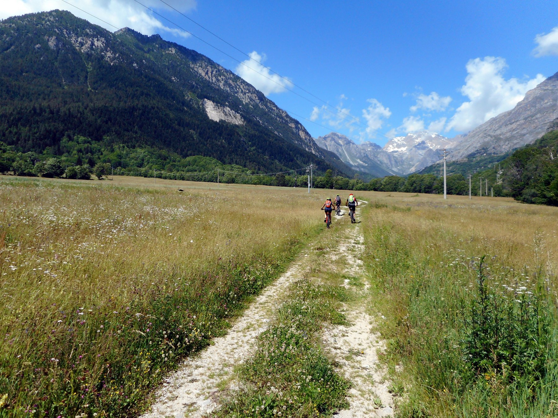
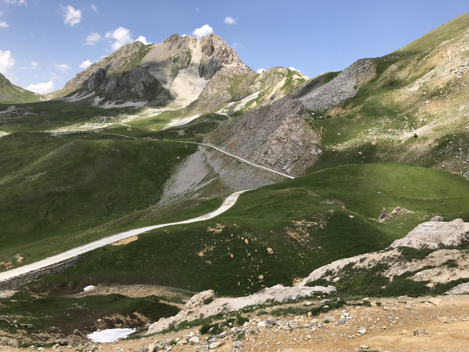
Da Prazzo si percorre la strada principale in direzione Acceglio, che si attraversa e, dopo non molto, si devia a destra sulla ripida strada per Lausetto raggiunto il quale si prosegue su asfalto fino a Borgata Colombata dove inizia un ampia strada sterrata. Nei pressi di un ponte si svolta a destra inerpicandosi su lunghi tornanti che attraversano un bel bosco di conifere, che presto lasciano il posto ad ampie praterie. Ad un altro bivio si tiene la destra raggiungendo in breve una malga dove termina la strada. Con tratti a piedi si arriva al Colle Sarasin, che si individua sopra di noi (attenzione a non confonderlo con una prima sella erbosa posta in realtà sotto il colle meta del nostro giro) e sulla panoramica punta Culour.
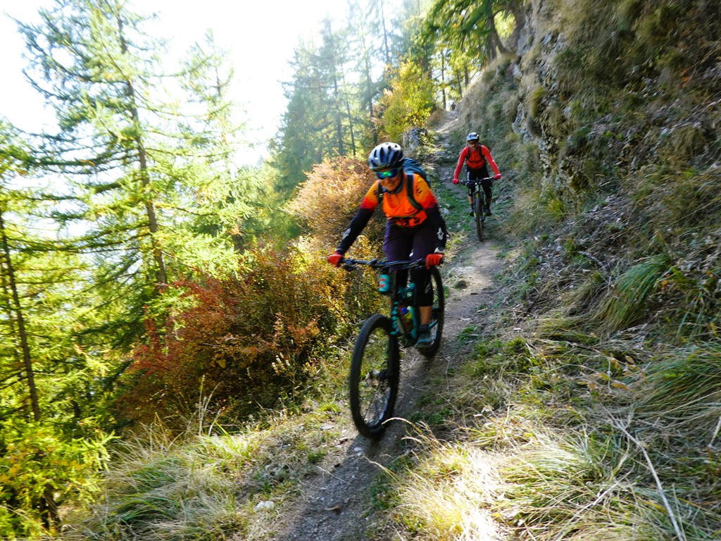
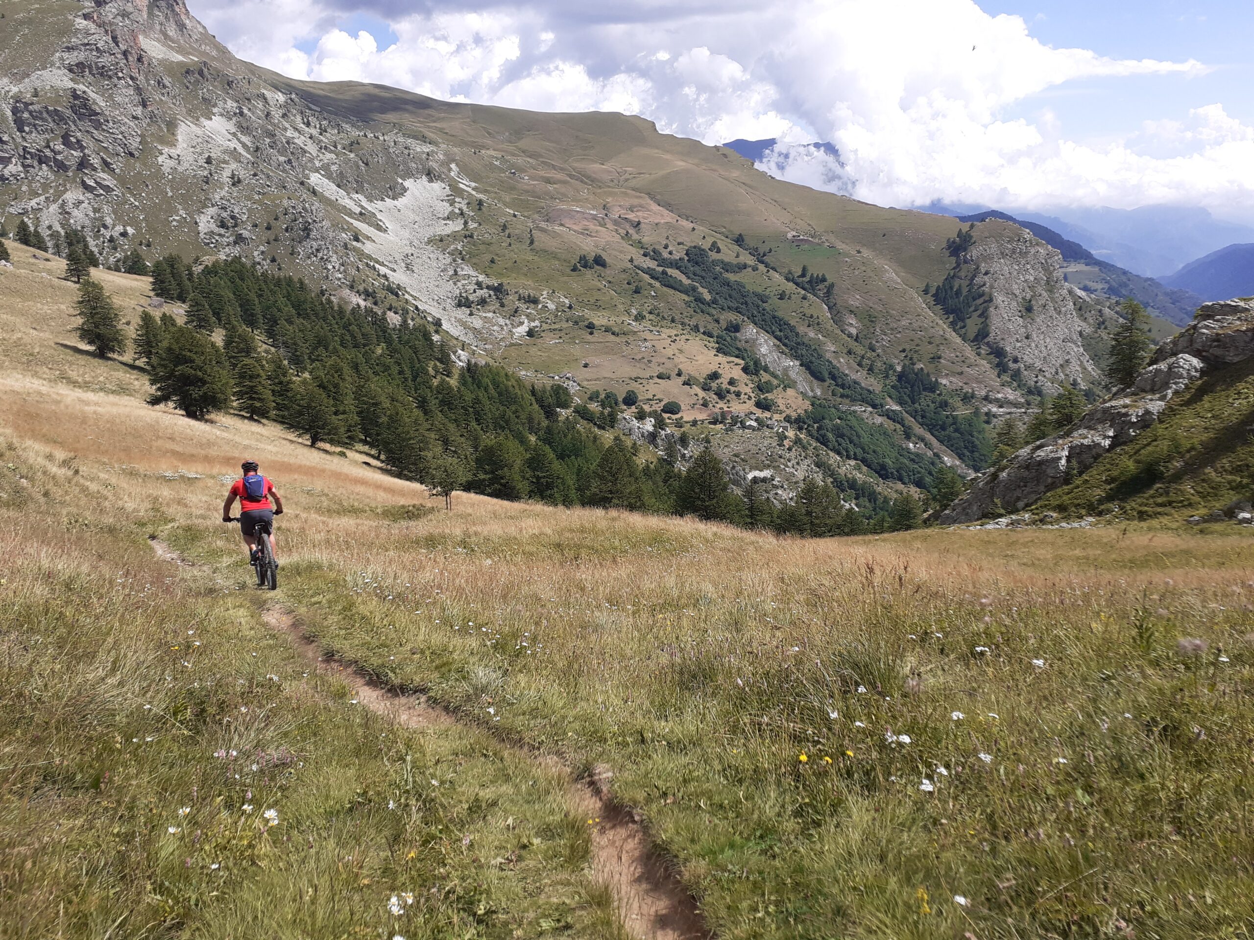
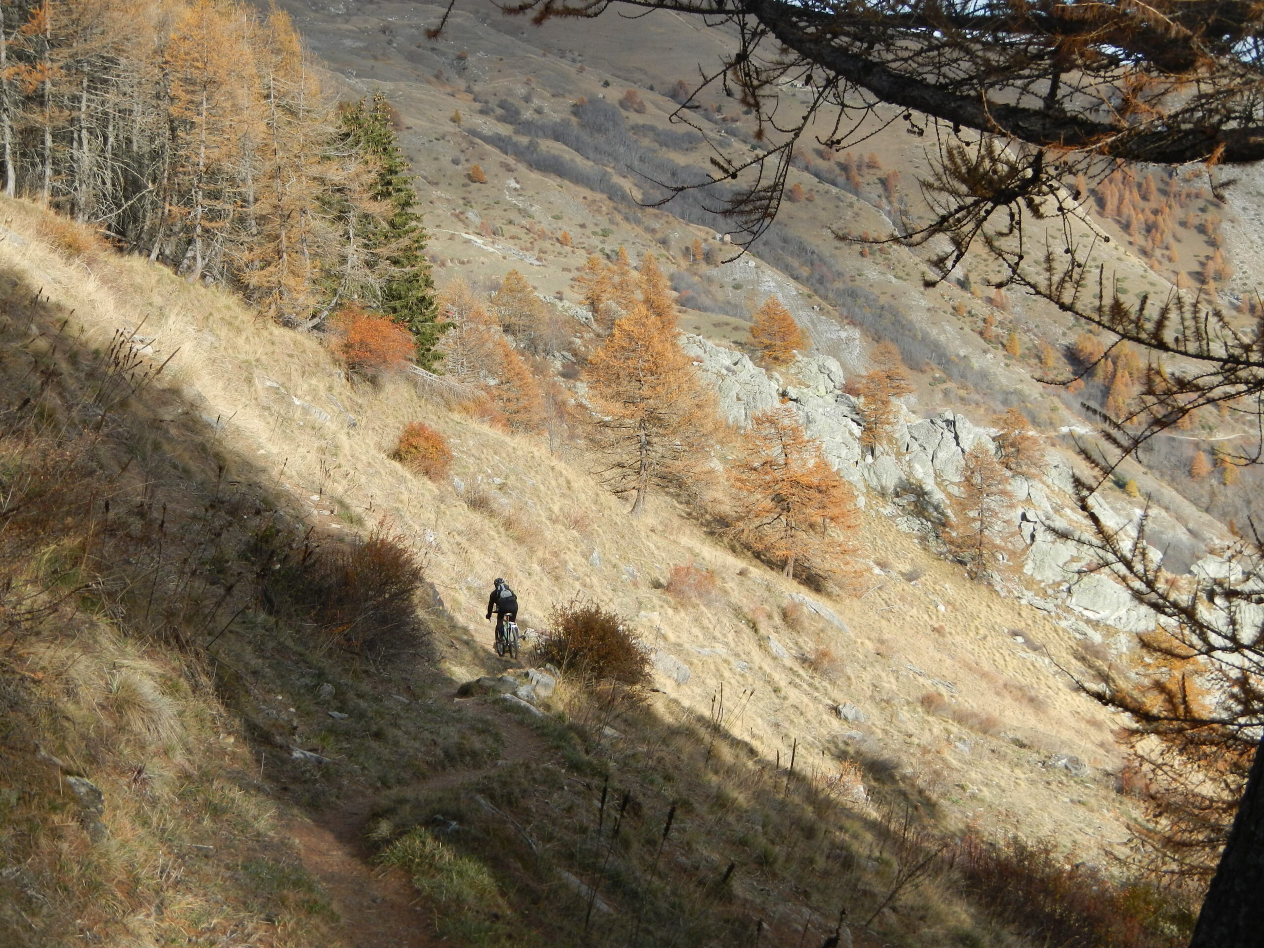
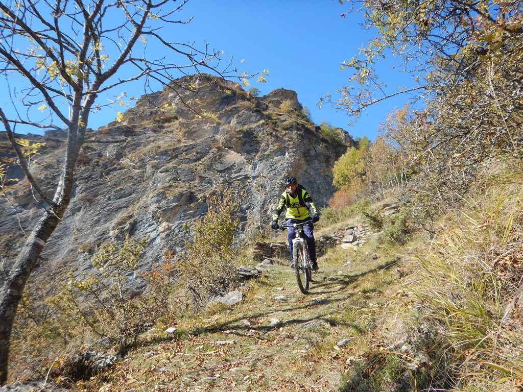
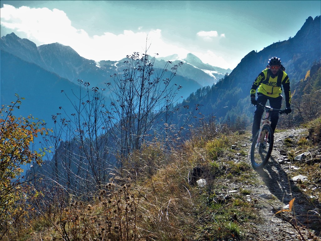
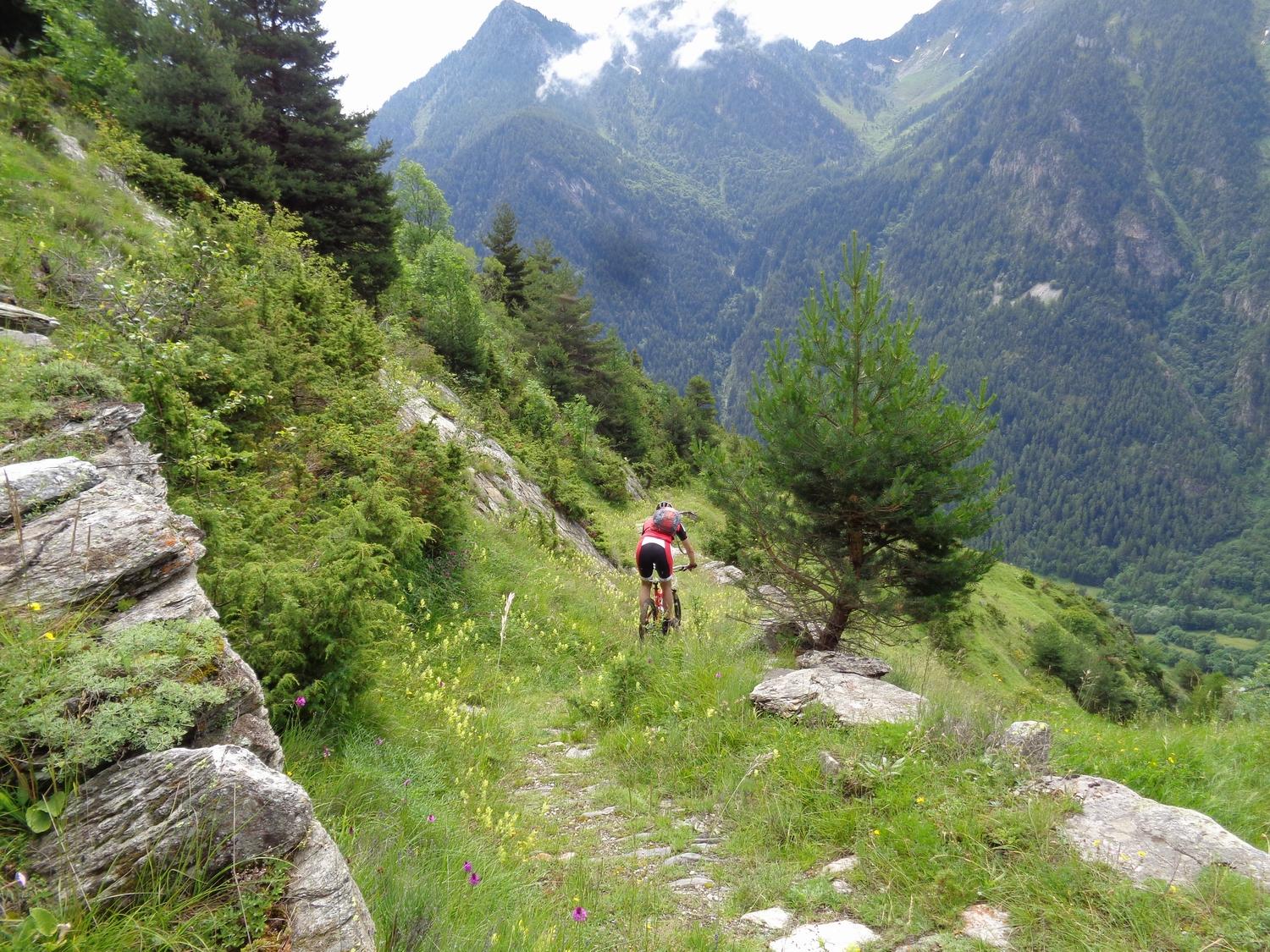
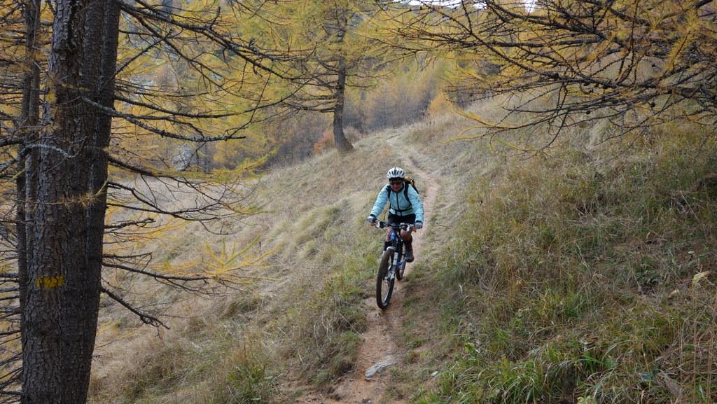
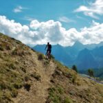
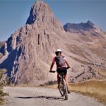
Per la discesa si ritorna al colle e seguendo le tacche gialle si percorre un single track che alterna tratti più tecnici (mai troppo difficili) ed altri più scorrevoli, attraversando con qualche saliscendi alcuni rii e che, rapidamente, conduce nel vallone di Ussolo.
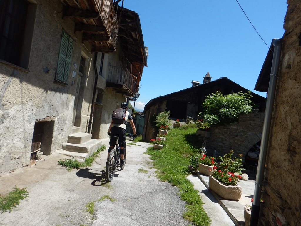
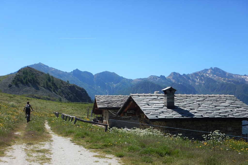
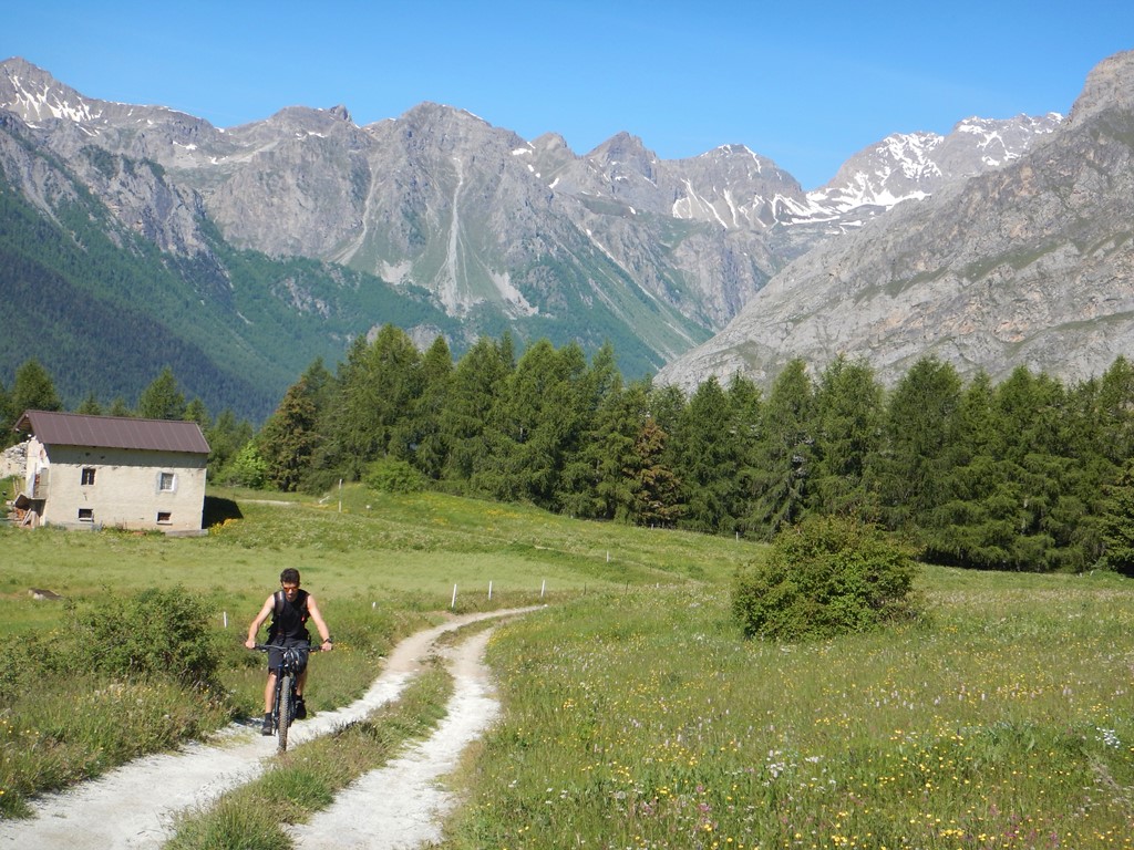
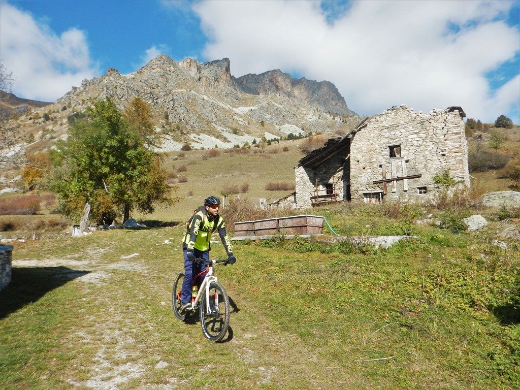
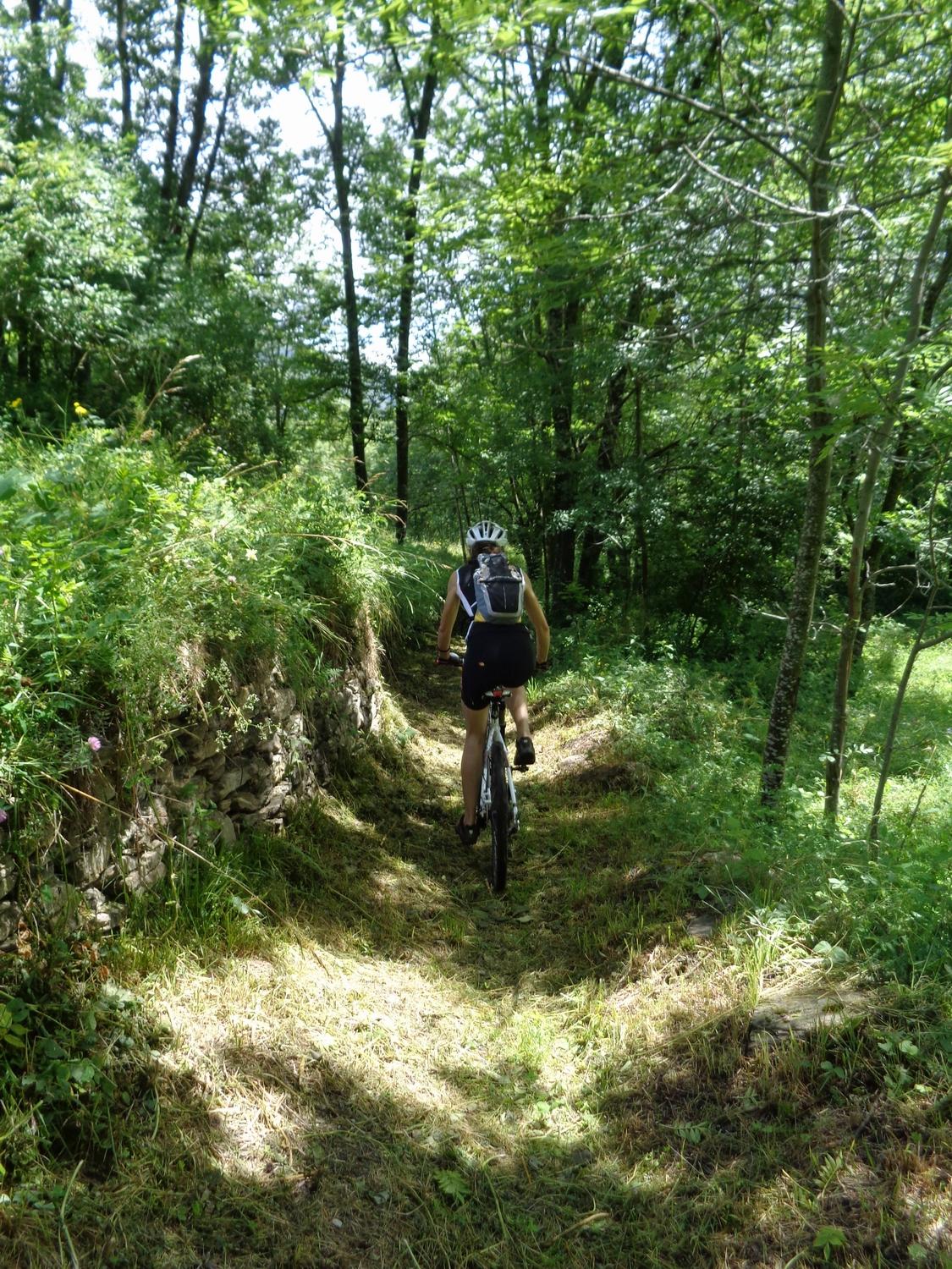
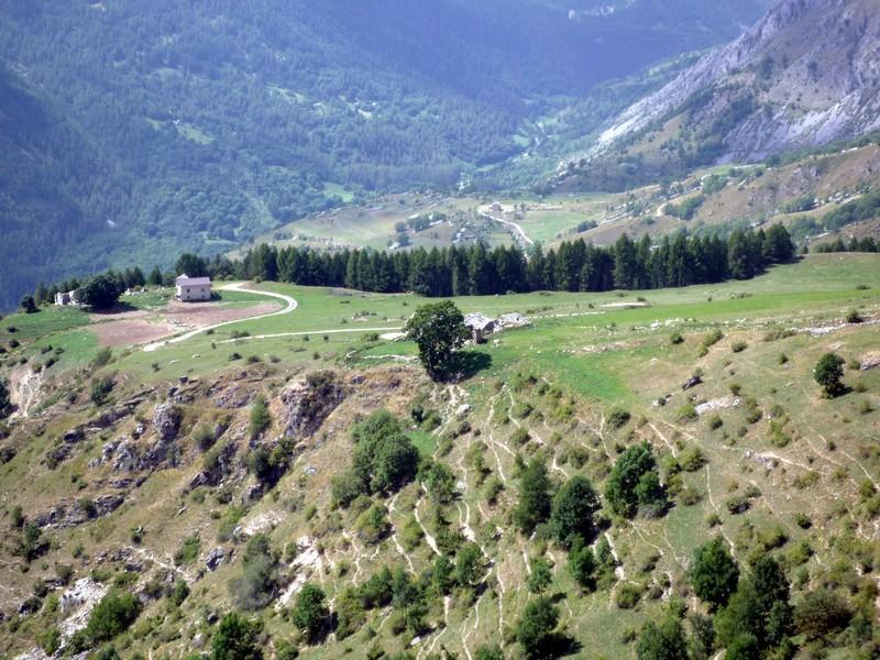
Quando si giunge nei pressi della Capanna di Ussolo ed il sentiero lascia il posto ad una sterrata, si consiglia di seguire le tacche di vernice che indicano facili e divertenti tratti di sentiero che permettono di tagliare quasi tutta la strada prima sterrata (in parte la affiancano) che conduce ad Ussolo, che si attraversa, poi asfaltata che scende nel fondovalle.
- Bibliografia:
- Icardi - Marino 'Mountain Bike varaita, maira, Grana, Stura, Ubaye' .
Nelle vicinanze Mappa
Itinerari
06/11/2021 CN, Prazzo D+ 1400 m MC, BC, S2 Varie
San Michele e Verdet (Colli) da Prazzo, giro per le borgate di Stroppo
 50m
50m
18/10/2025 CN, Prazzo D+ 2271 m BC, BC, S3 Varie
Chersogno (Monte) da Prazzo, giro
50m
10/08/2011 CN, Prazzo D+ 1850 m OC, OC+, S3 Varie
Camoscere (Lago delle) e Bivacco Bonfante da San Michele di Prazzo, giro per Colle della Bicocca, Chiotti
 2.3Km
2.3Km
01/06/2025 CN, Marmora D+ 1500 m BC, BC, S2 Tutte
San Michele e Bettone (Colli) da Ponte Marmora, giro per San Michele di Prazzo, Elva e San Martino di Stroppo
 4.3Km
4.3Km
20/06/2020 CN, Prazzo D+ 945 m MC, MC, S1 Varie
Chiappera (Frazione) da Ponte Marmora per la Valle Maira
 4.3Km
4.3Km
23/08/2020 CN, Canosio D+ 1020 m MC, MC, S1 Sud-Est
Soleglio Bue (Colle) o Beau Soleil da Canosio
 4.3Km
4.3Km
29/09/2024 CN, Marmora D+ 1700 m MC, MC, S1 Tutte
Fauniera (Colle) o dei Morti da Ponte Marmora per Colle Esischie, giro per il Rifugio Gardetta e Colle del Preit
 4.3Km
4.3Km
29/09/2024 CN, Prazzo D+ 1800 m MC+, BC, S2 Nord
Gardetta (Passo della) da Ponte Marmora, giro per i Colli d’Esischie, Fauniera
 4.3Km
4.3Km
13/07/2024 CN, Canosio D+ 1470 m MC+, MC+, S1 Nord
Esischie, Fauniera, Bandia, Margherina (Colli) da Canosio, giro di Rocca la Meja
 4.3Km
4.3Km
08/09/2023 CN, Prazzo D+ 1958 m BC+, BC+, S3 Sud-Ovest
Bonfante Elio (Bivacco) alle Camoscere da Ponte Marmora, giro per Elva
 4.3Km
4.3Km
Servizi
200m
200m
Furnel e pirol Ristorante
Prazzo Superiore
4.3Km
Gentil Locanda Ristorante
Marmora
5Km
Lou Pitavin Ristorante
Marmora
5.1Km
Croce bianca Ristorante
Marmora
5.2Km
Ceaglio Rifugio
Marmora
5.2Km
Posto tappa gta Ceaglio Rifugio
Marmora
5.4Km
Lou Lindàl Rifugio
Canosio
5.4Km
Mascha Parpaja Rifugio
Canosio
5.8Km