8.4Km
8.4Km
Avvicinamento
 50m
50m
3Km
3.5Km
5.3Km
5.5Km
5.8Km
6Km
6.5Km
6.7Km
50m
50m
3Km
3.5Km
5.3Km
5.5Km
5.8Km
6Km
6.5Km
6.7Km
.
Descrizione
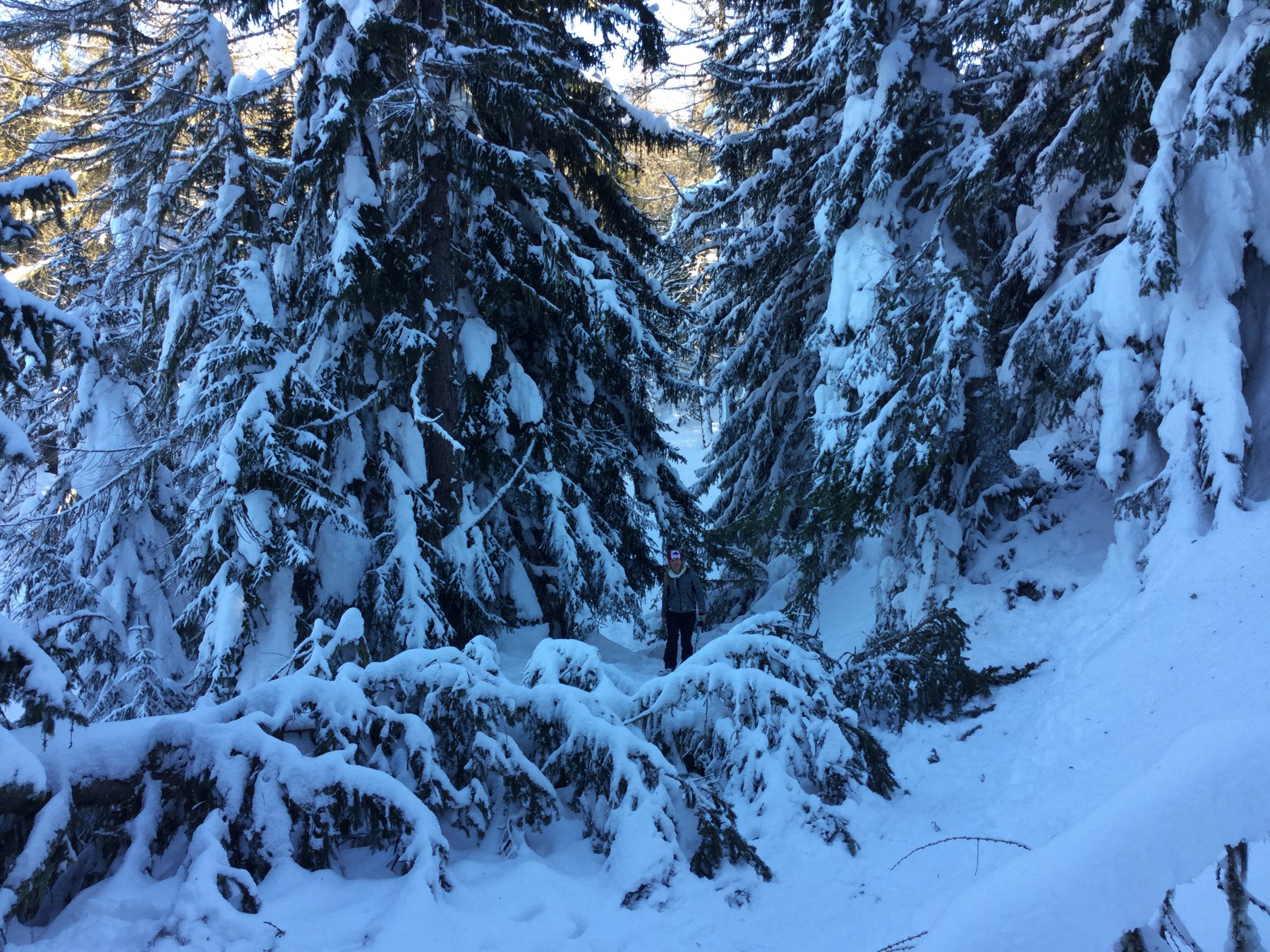
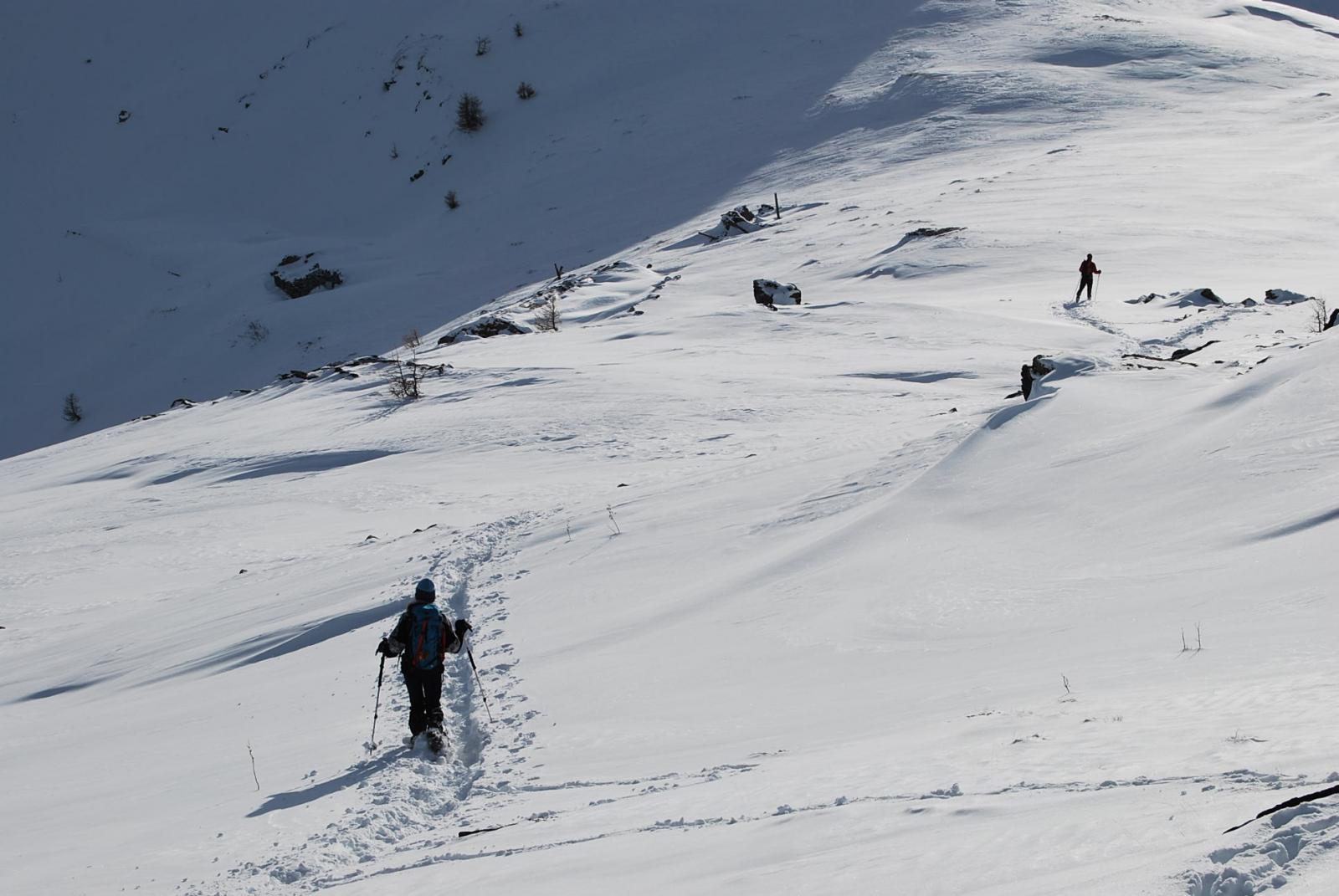
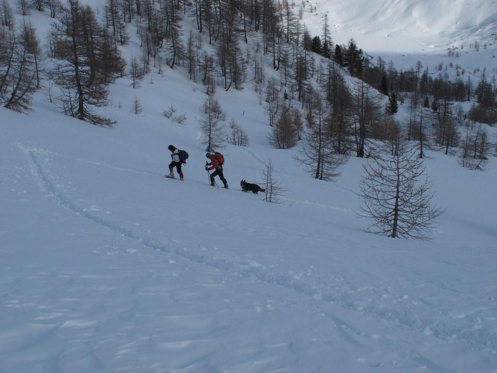
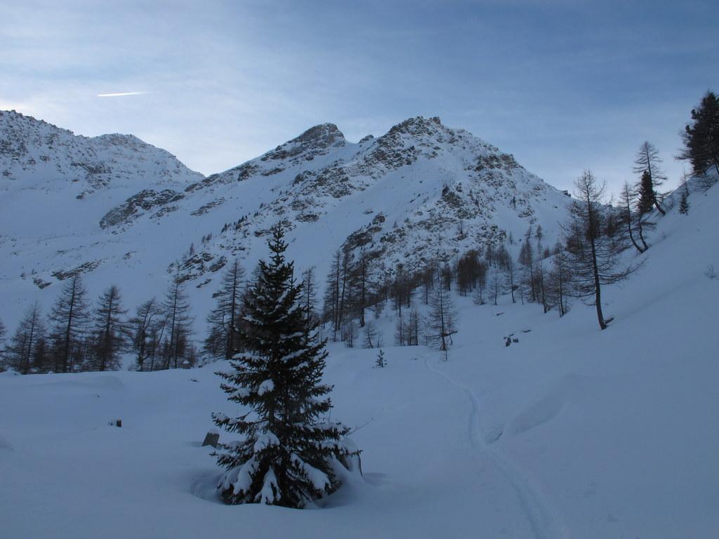
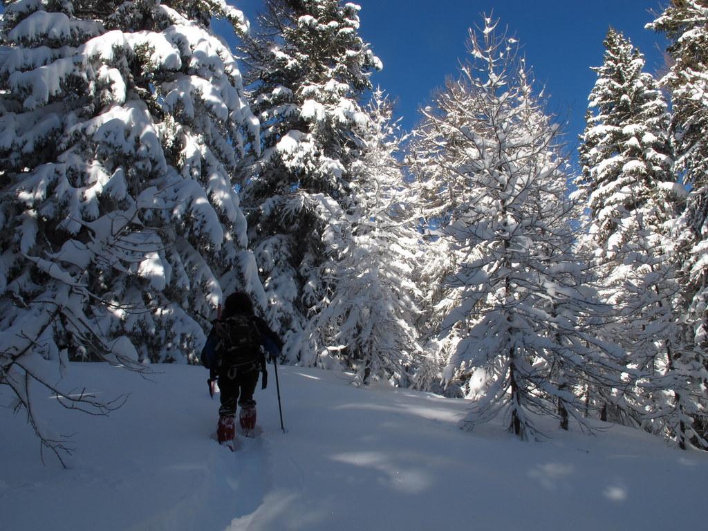
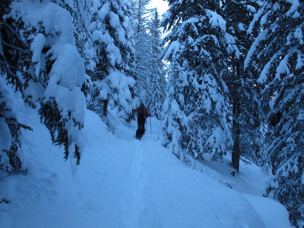
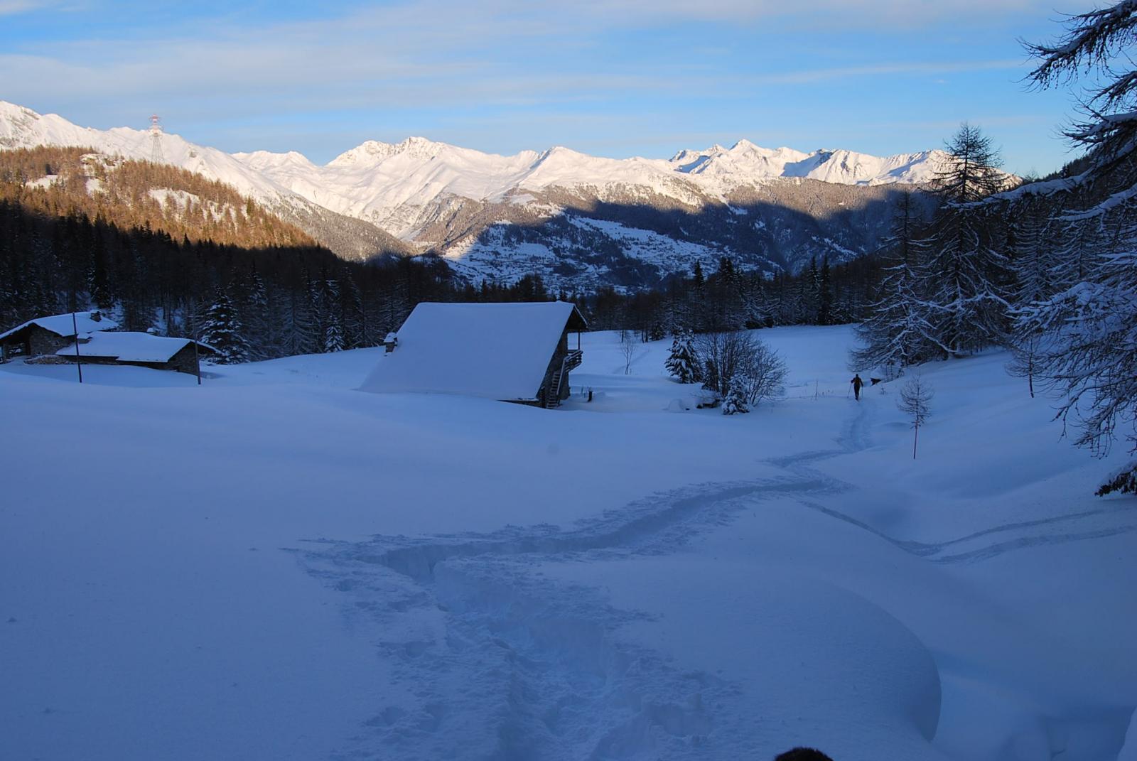
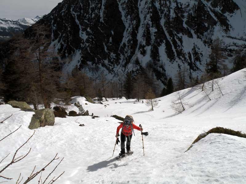
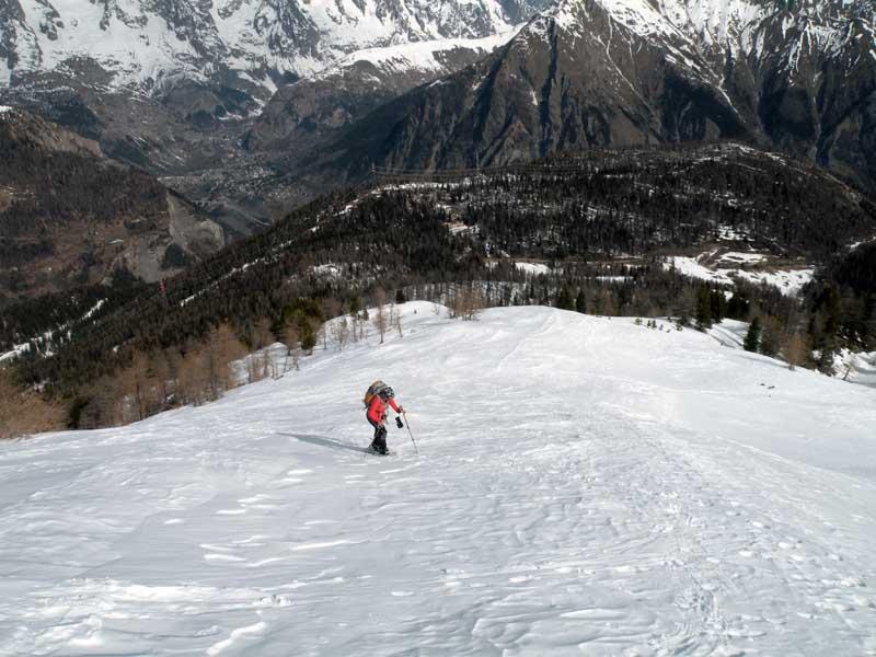
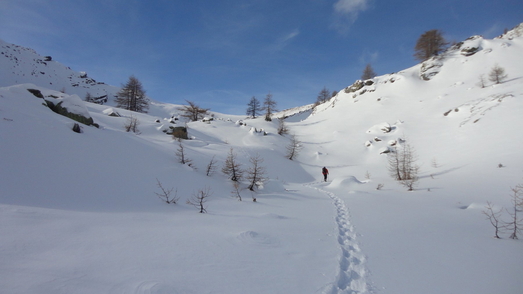
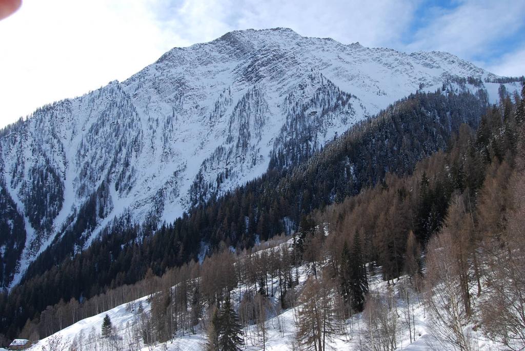
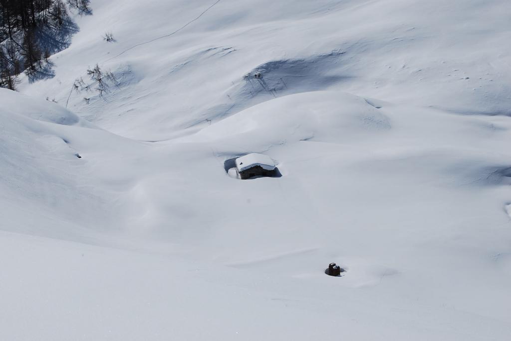
Dal piazzale ci si inoltra nel bosco sulla traccia, di solito presente, che si stacca sopra la casetta in legno; il percorso si sviluppa con lievissima pendenza sulla traccia della poderale estiva e, vista la frequentazione degli escursionisti, si inizia a camminare comodamente anche senza racchette.
Arrivati in breve ad un bivio segnalato dalle paline e da cartelli in legno(2007 m) si abbandona la traccia di sinistra, più frequentata, che si dirige verso il lago di Arpy e si inizia a salire sulla destra cercando di intuire il percorso di una mulattiera; guadagnando quota più decisamente si sale tra la vegetazione e, con alcuni traversi esposti da compiersi su tratti slavinati, ci si sposta sulla sinistra aggirando i piccoli speroni boschivi.
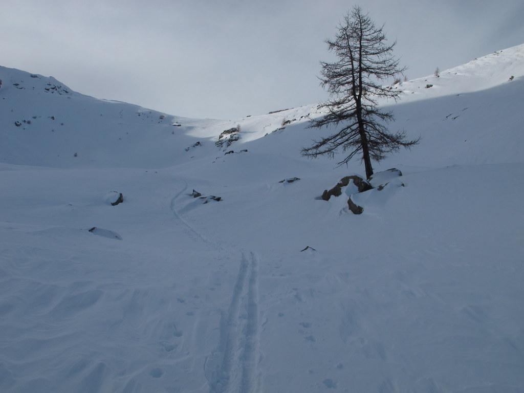
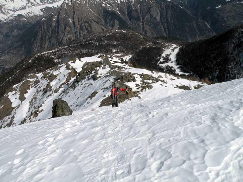
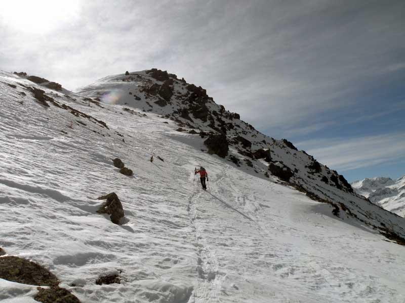
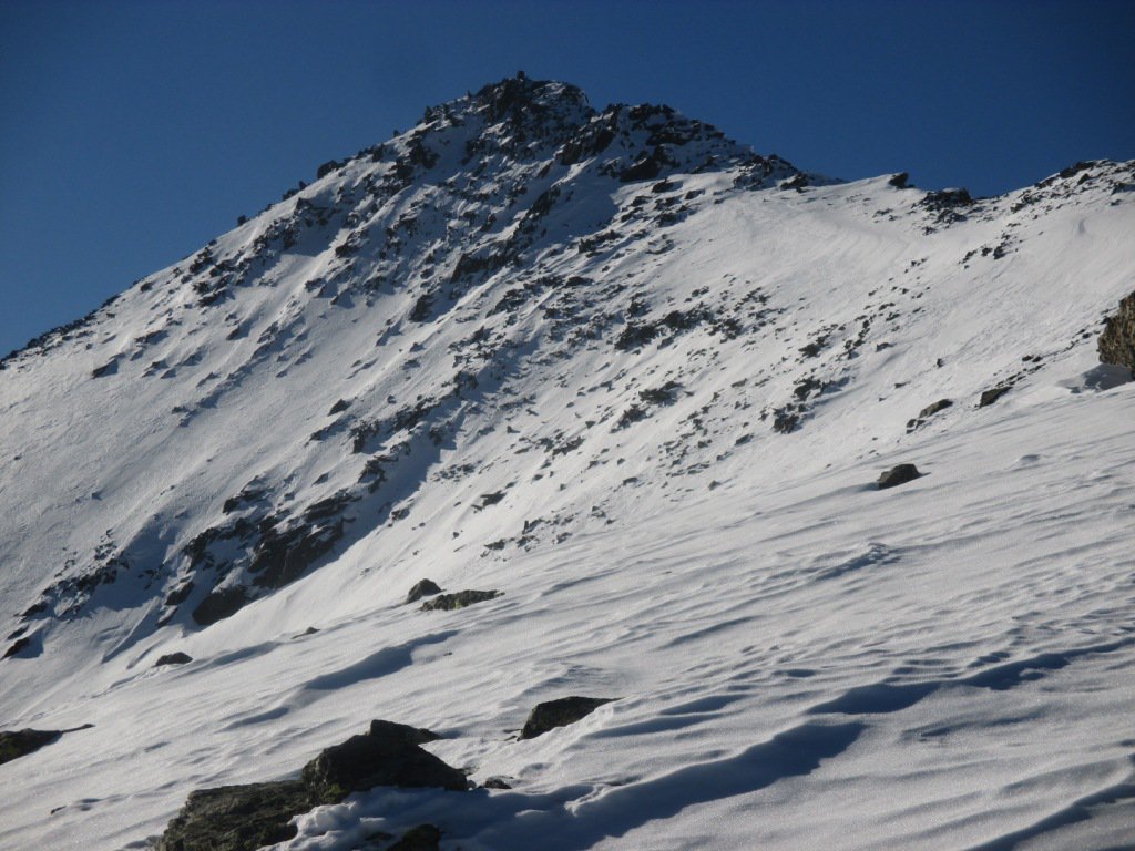
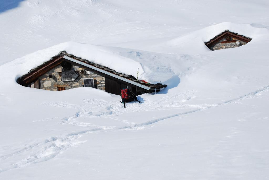
Giunti dove la vegetazione si fa più rada (2140 m circa) si devia decisamente a destra imboccando un evidente e ripido scivolo che si rimonta faticosamente arrivando nei pressi di un piccolo ricovero in pietra (2247 m); da qui si punta alla dorsale soprastante che si inizia a risalire deviando sulla sinistra.
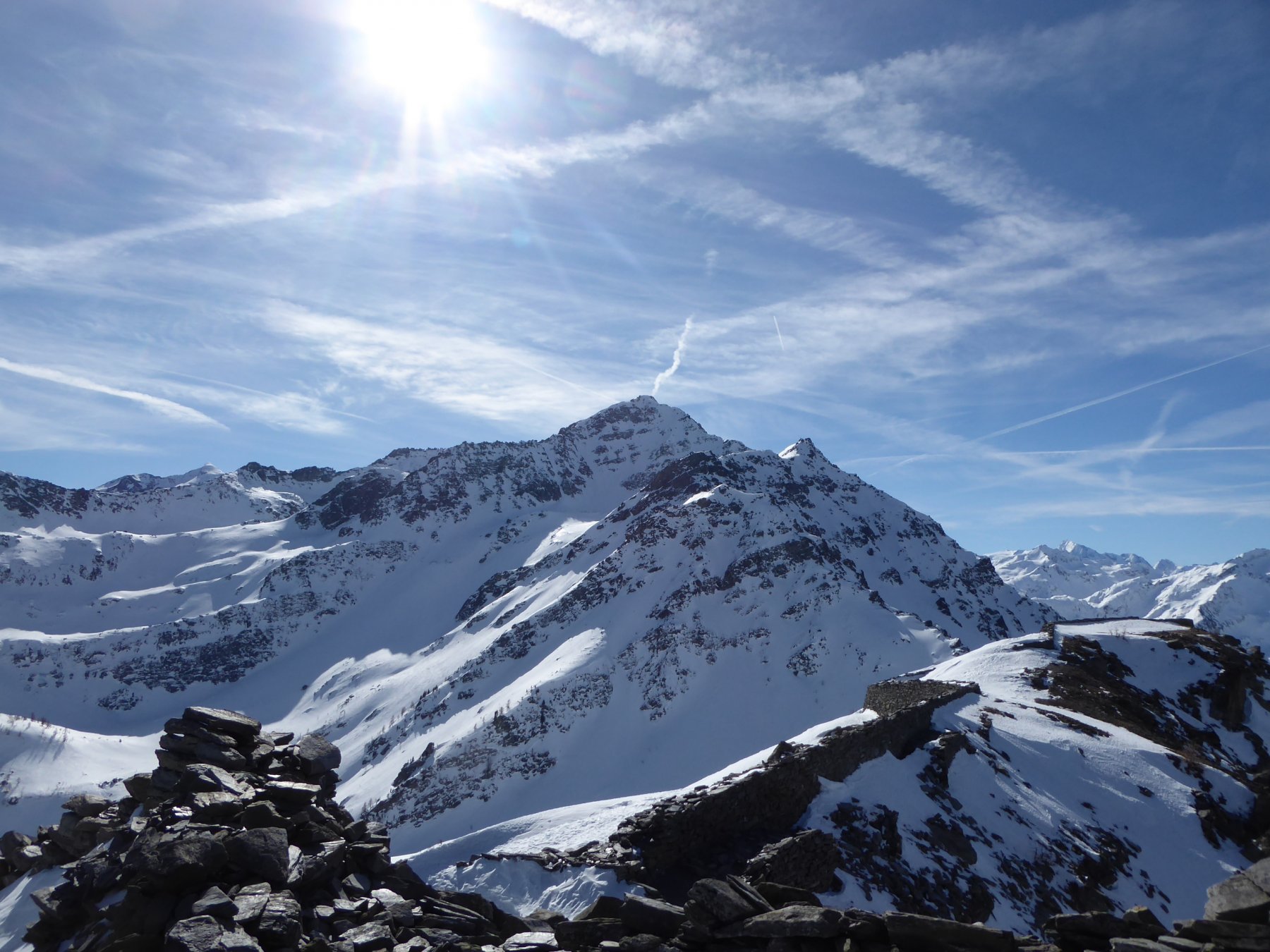
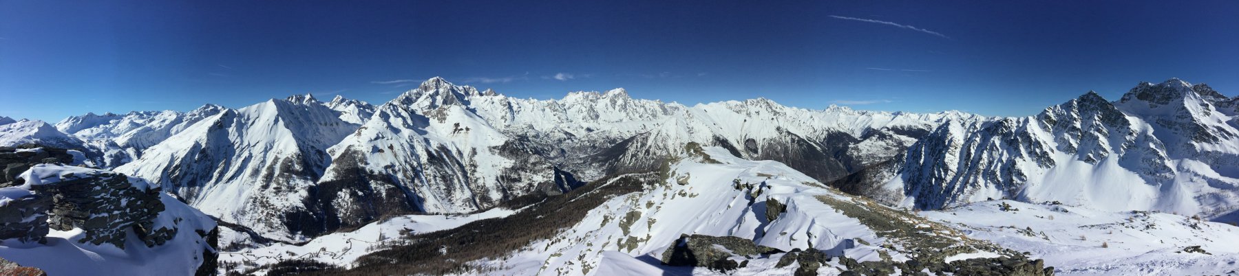
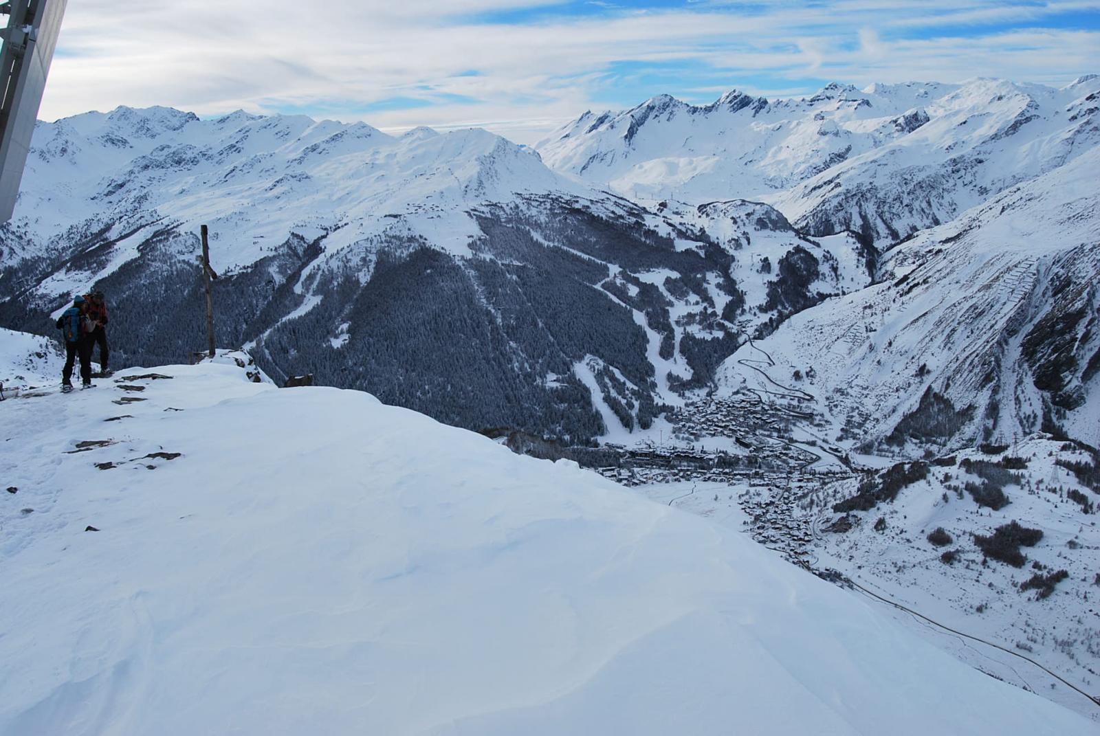
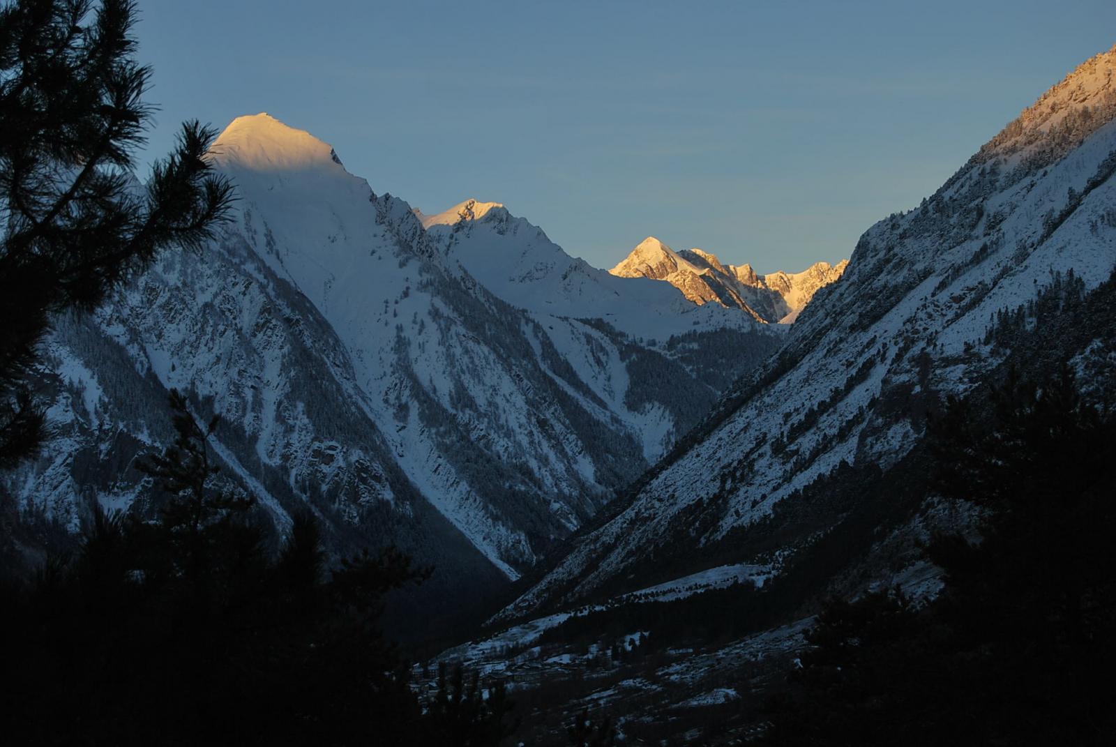
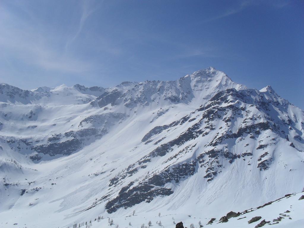
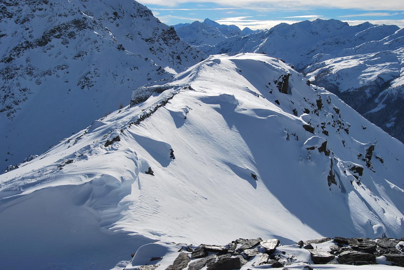
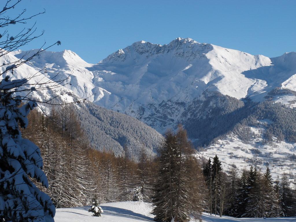
In questo tratto, dove il panorama si allarga sulla valle di La Thuile e sui massicci del Monte Bianco e delle Grandes Jorasses, la pendenza ritorna ancora ripida e si prosegue rimanendo leggermente sul lato destro della dorsale per giungere ad un colletto situato nei pressi di alcune rocce scoperte (2338 m).
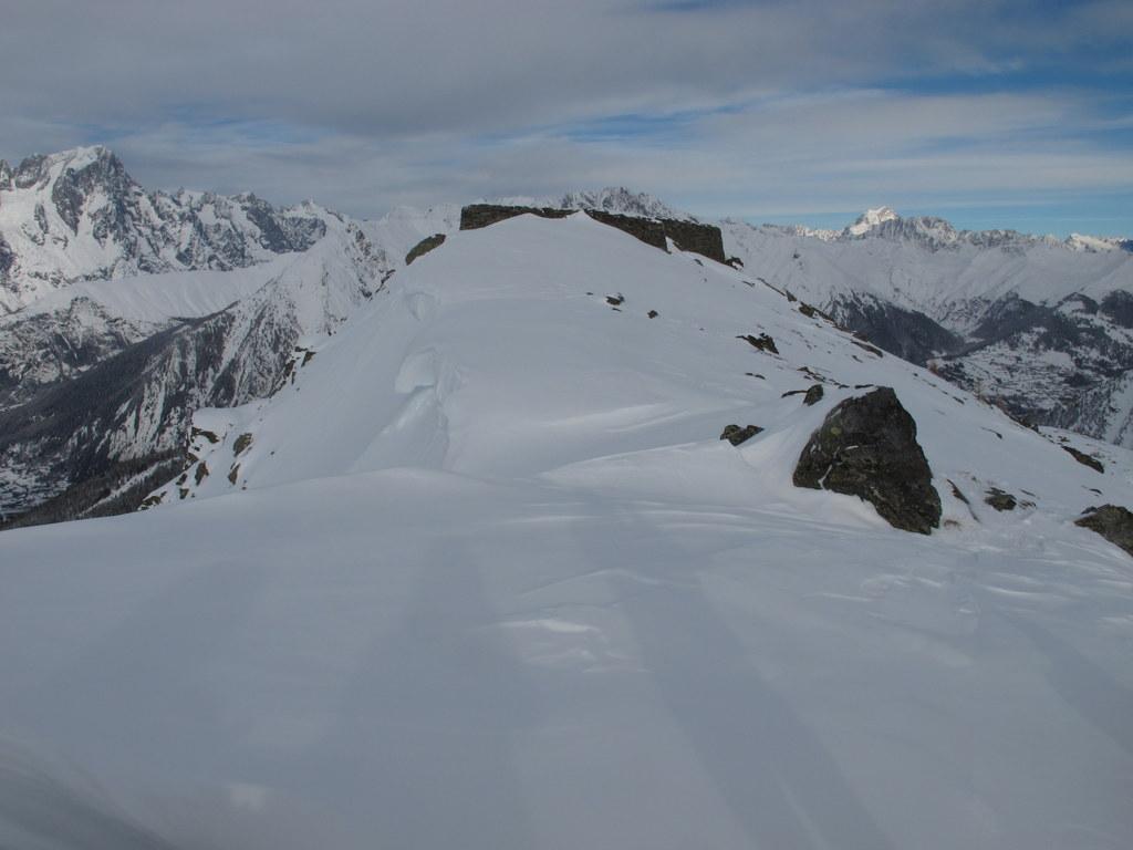
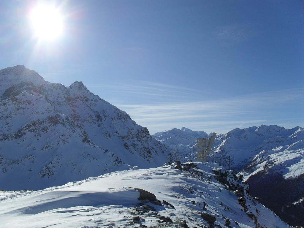
Da questo punto, vedendo già la calotta sommitale della nostra meta, conviene rimanere sempre sulla destra della dorsale (la cresta può presentare cornici) e con un lungo traverso non molto esposto si contorna sulla destra una puntina rocciosa. Superatala si devia decisamente a sinistra giungendo un altro colletto (2420m) da dove inizia il ripido pendio finale; questo conviene affrontarlo direttamente, per evitare così esposti traversi, giungendo in breve sulla vetta sormontata da un basso ometto di pietre.
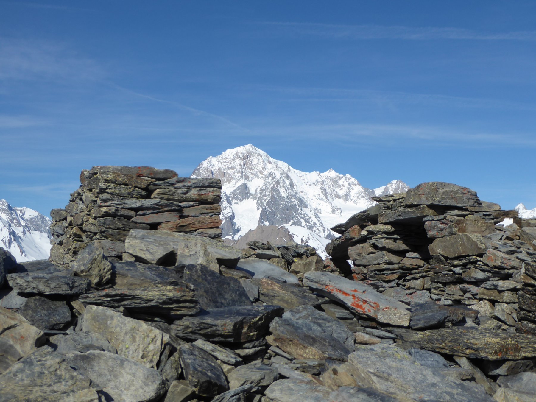
Volendo si può poi scendere brevemente ad un’insellatura e risalire altrettanto brevemente all’altra punta di qualche metro più alta (2476 m) dove si trovano i ruderi delle fortificazioni militari dell’ultimo conflitto mondiale.
Nelle vicinanze Mappa
Itinerari
20/11/2016 AO, La Thuile D+ 508 m MR Sud-Est
Croce (Colle della) dal Colle San Carlo per il Lago d’Arpy
 50m
50m
31/12/2016 AO, La Thuile D+ 1200 m BRA, PD- Nord
Lussè (Monte) dal Colle San Carlo
 50m
50m
10/02/2019 AO, Pré-Saint-Didier D+ 1108 m MR Est
Arp de Sorè o Arp Damon (Alpeggio) da Champex
 3Km
3Km
16/03/2013 AO, Pré-Saint-Didier D+ 1261 m MR Varie
Arp (Col d’) da la Balme per il Vallone di Youla
 3.5Km
3.5Km
07/01/2010 AO, Morgex D+ 709 m MR Nord
Arpy (Villaggio) da Morgex per Parimont
 5.3Km
5.3Km
06/04/2015 AO, La Thuile D+ 638 m MR Varie
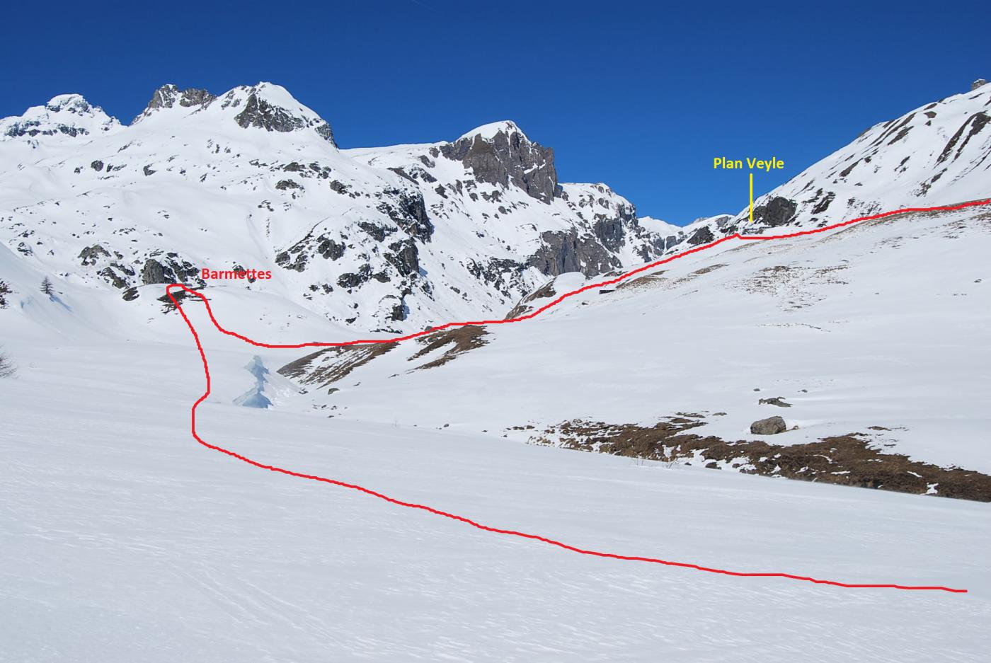
Plan Veyle, Chantè, Barmettes (Alpeggi) da La Thuile, anello
 5.5Km
5.5Km
30/04/2017 AO, Courmayeur D+ 732 m MR Tutte
Checrouit (Colle) da Dolonne, anello
 5.8Km
5.8Km
02/01/2012 AO, Courmayeur D+ 360 m MR Ovest
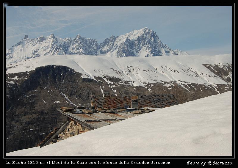
La Suche (Baite) da Ermitage
 6Km
6Km
17/03/2014 AO, Courmayeur D+ 1250 m BR Varie
Tronche (Testa de la) da Villair superiore per Monti de la Saxe
 6.5Km
6.5Km
12/02/2012 AO, Morgex D+ 866 m MR Varie
Liconi (Alpeggi) da La Ruine
 6.7Km
6.7Km