 3.4Km
3.4Km
Note
 550m
1.5Km
2.2Km
3.2Km
3.9Km
3.9Km
3.9Km
3.9Km
3.9Km
6Km
550m
1.5Km
2.2Km
3.2Km
3.9Km
3.9Km
3.9Km
3.9Km
3.9Km
6Km
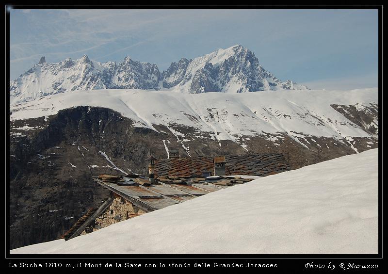
Gita molto facile, nel bosco, splendida la vista sul monte bianco.
Avvicinamento
.
Descrizione
da Ermitage si sale nel bosco lungo una carrareccia (paline). Si sale nel bosco traversando e seguendo il sentiero (poco visibile con tanta neve).
Si raggiunge il sentiero da Plan Gorret (palina), si sale verso sinistra (qualche segno rosso) e poi, dopo un taglio decisamente a destra (vecchio cartello bianco rosso) per raggiungere il bivio per Tirecorne (palina). Si va a sinistra e si esce in una radura e poi alle baite
- Cartografia:
- kompass
- Bibliografia:
- Neve Libera
Nelle vicinanze Mappa
Itinerari
17/03/2014 AO, Courmayeur D+ 1250 m BR Varie
Tronche (Testa de la) da Villair superiore per Monti de la Saxe
 550m
550m
24/02/2026 AO, Courmayeur D+ 729 m MR Nord-Est
Bertone Giorgio (Rifugio) da La Saxe
 1.5Km
1.5Km
30/04/2017 AO, Courmayeur D+ 732 m MR Tutte
Checrouit (Colle) da Dolonne, anello
 2.2Km
2.2Km
10/02/2019 AO, Pré-Saint-Didier D+ 1108 m MR Est
Arp de Sorè o Arp Damon (Alpeggio) da Champex
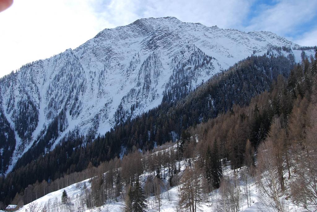 3.2Km
3.2Km
09/12/2016 AO, Courmayeur D+ 1457 m OR, F+ Sud-Ovest
Tsichette (Mont) e Mont de Rots da Planpincieux
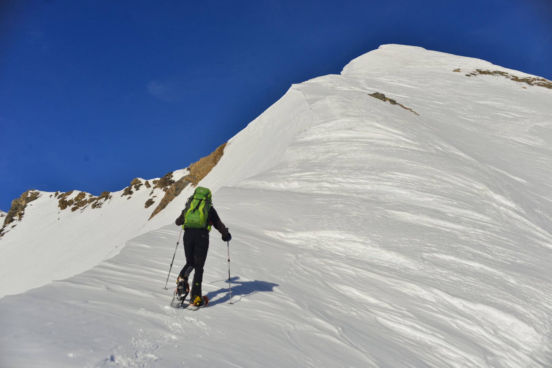 3.9Km
3.9Km
03/01/2012 AO, Courmayeur MR Nord-Est
Lavachey da Plampincieux
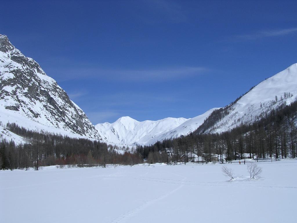 3.9Km
3.9Km
29/03/2026 AO, Courmayeur D+ 409 m MR Nord-Ovest
Bonatti Walter (Rifugio) da Planpincieux
 3.9Km
3.9Km
27/12/2023 AO, Courmayeur D+ 398 m MR Varie
Bertone Giorgio (Rifugio) da Planpincieux
 3.9Km
3.9Km
08/12/2016 AO, Courmayeur D+ 1136 m BR Varie
Entre Deux Sauts (Tète) da Planpincieux
 3.9Km
3.9Km
20/11/2016 AO, La Thuile D+ 508 m MR Sud-Est
Croce (Colle della) dal Colle San Carlo per il Lago d’Arpy
 6Km
6Km

