3.3Km
3.3Km


Note
 50m
400m
400m
400m
400m
400m
400m
800m
1Km
1Km
50m
400m
400m
400m
400m
400m
400m
800m
1Km
1Km
3.3Km
5.3Km
6.1Km
6.1Km
6.1Km
6.1Km
7.9Km
9Km
9.6Km
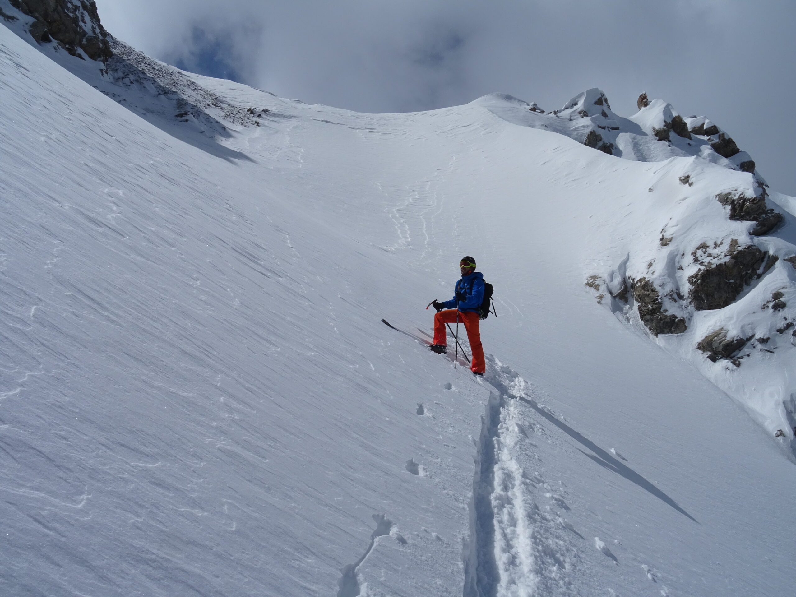
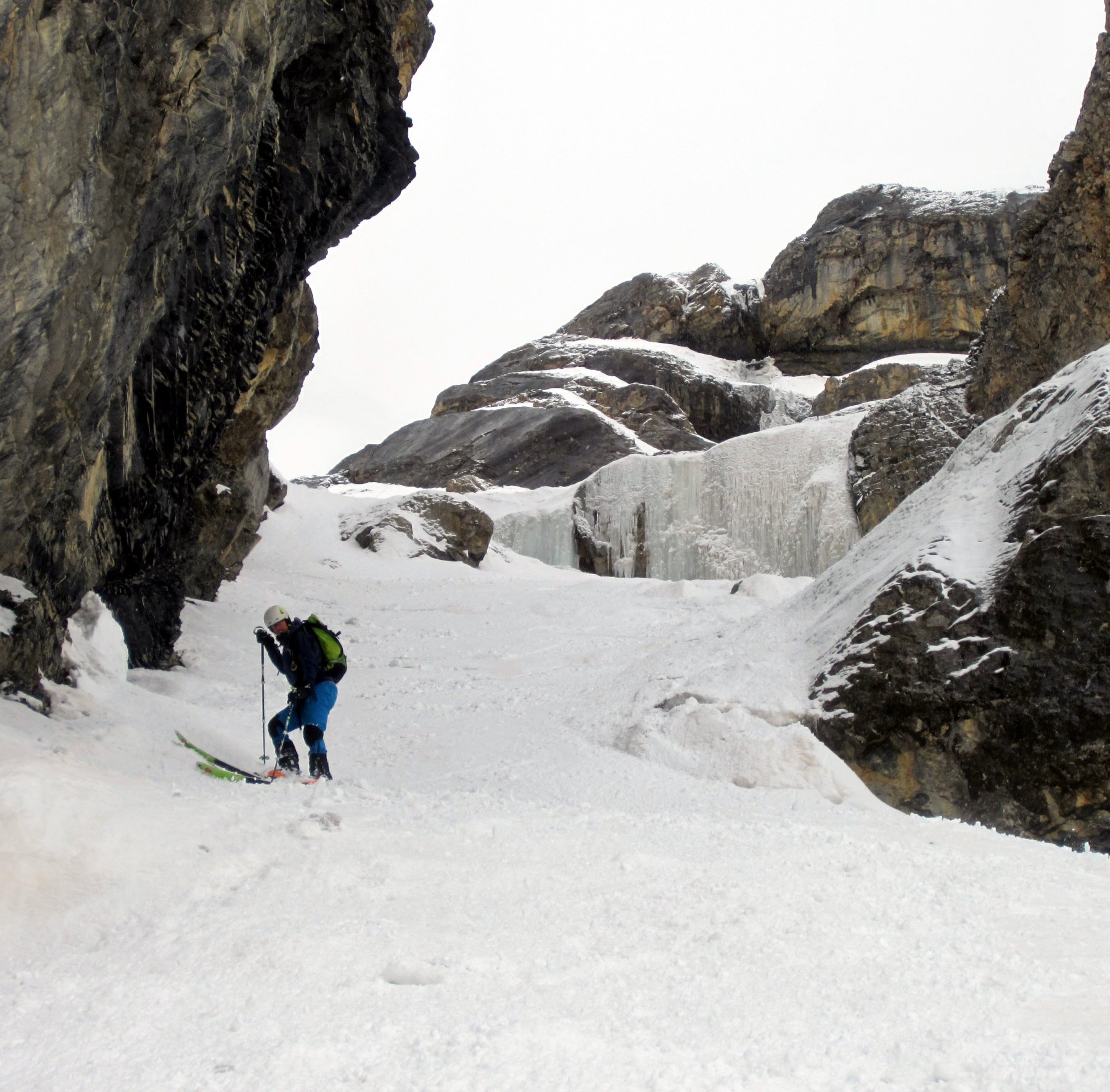
Canale sinuoso con ingresso più ripido, circa 350m 40°.
Avvicinamento
Per la salita alla Chalanche Ronde ci sono due opzioni:
- via normale dal colle des Trois Freres Mineurs (considerare 100m di perdita dislivello)
- per cresta passando da Rochers Charniers
Descrizione
- via normale dal colle des Trois Freres Mineurs (considerare 100m di perdita dislivello)
- per cresta passando da Rochers Charniers
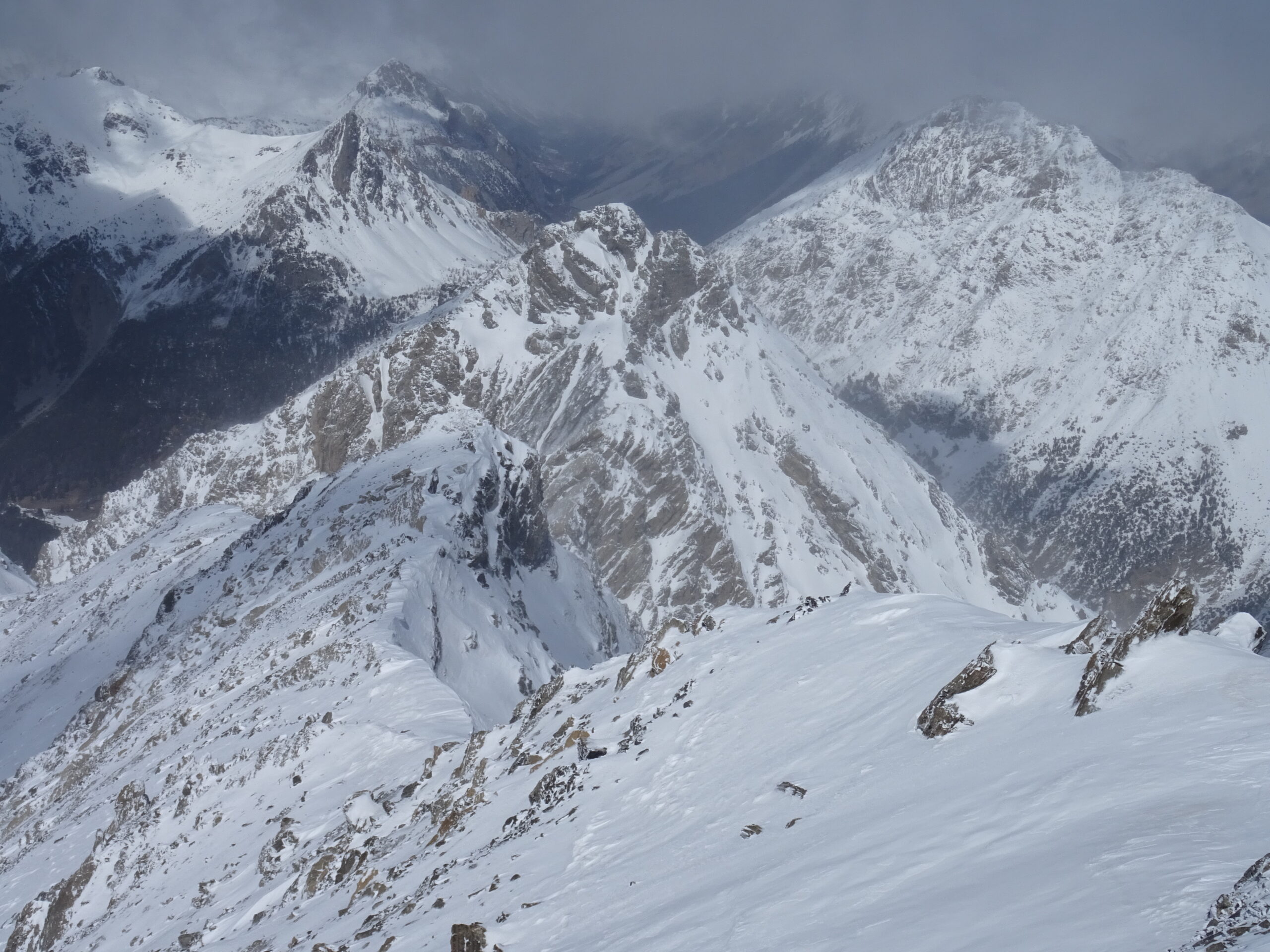
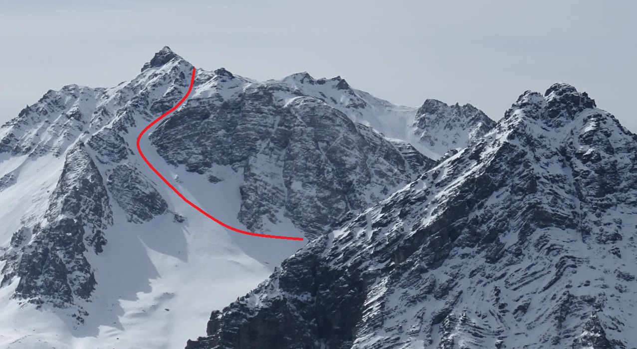
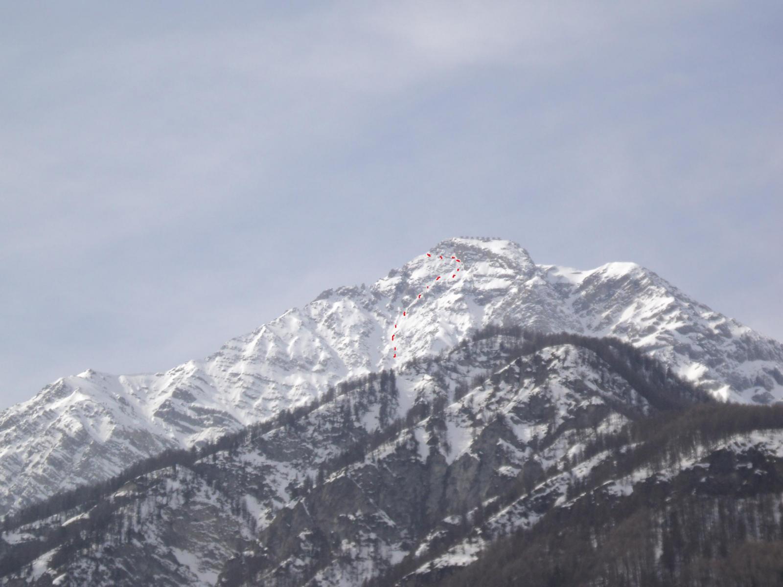
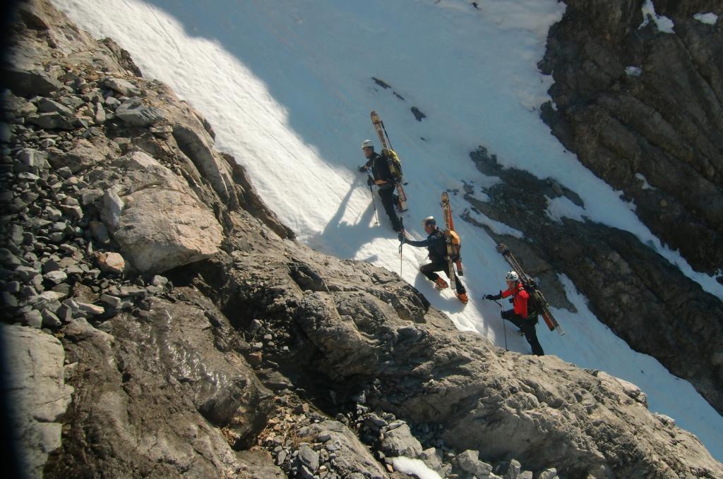
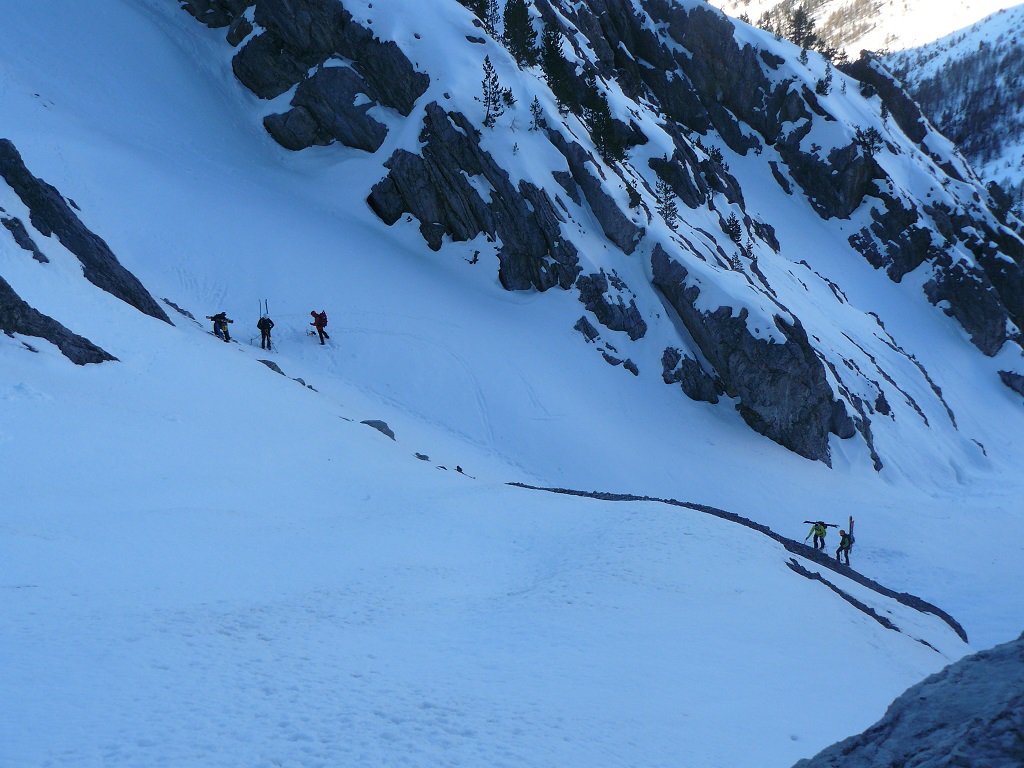
Dalla vetta della Chalanche Ronde si può scendere a piedi lungo la cresta NW o, condizioni permettendo, si scende in sci il tratto iniziale sotto la vetta, effettuando un traverso fino a raggiungere l’imbocco del canale (posto sotto una paretina di roccia scura).
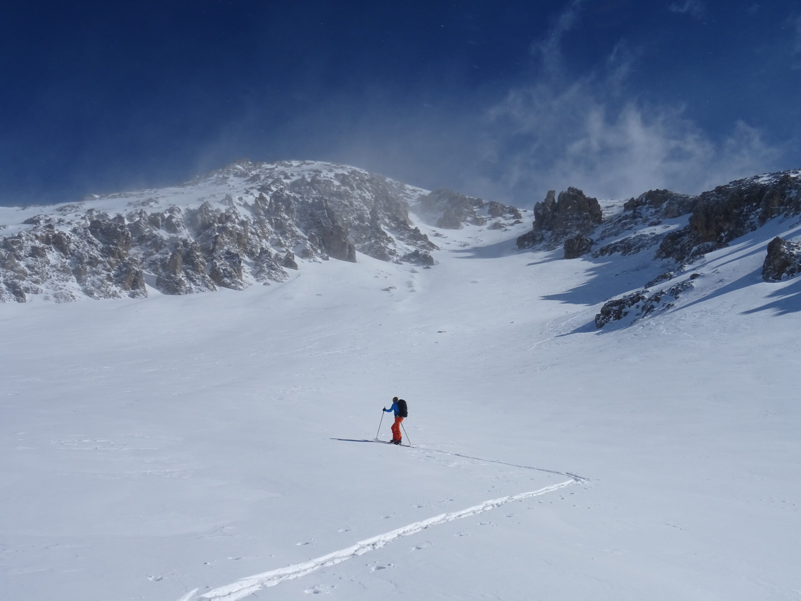
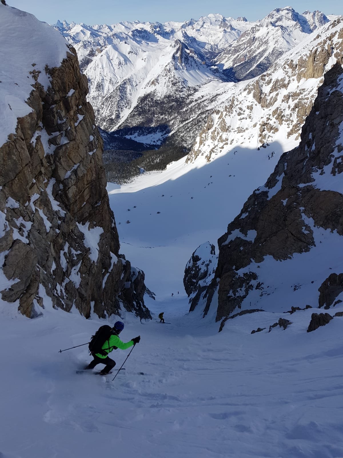
Il canale parte ripido per una ventina di metri per poi allargarsi e curvare prima a destra e poi a sx su stupenda conoide. Al fondo della conoide traversare a sinistra e risalire all’evidente colletto posto all’estrema sinistra sulla cresta tra Chalanche e Roche de Pres (200-250m, 35°).
Si scende un pendio/canale esposto a ovest (max 35°, 150m circa) e si prosegue la discesa nel Cirque de Marapa, traversando man mano verso la sx orografica per raggiungere il costone delle Rocher de Marapa a quota 2315m ca. Di qui si può iniziare la risalita al col des Trois Frere Mineurs e la classica discesa di rientro.
Nelle vicinanze Mappa
Itinerari
25/04/2018 Hautes-Alpes, Montgenèvre D+ 1300 m I, 4.2, E2 Nord-Est
Chaberton (Monte) Canale NE
 50m
50m
15/03/2014 Hautes-Alpes, Montgenèvre D+ 1280 m IV, 5.2, E4 Est
Chaberton (Monte) Parete Est
 400m
400m
06/03/2025 Hautes-Alpes, Montgenèvre D+ 1350 m II, 4.3, E3 Sud-Ovest
Rochers Charniers (Pointe des) Canale Sud-Ovest
 400m
400m
04/01/2020 Hautes-Alpes, Montgenèvre D+ 1650 m I, 4.1, E1 Varie
Chalanche Ronde (Pointe des) da Montgenevre, anello per il pas du Curè e il Col des Trois Frère Mineurs
 400m
400m
05/04/2014 Hautes-Alpes, Montgenèvre D+ 1336 m III, 4.3, E3 Sud
Chaberton (Monte) Parete S/SO – Combinazione Vincente
 400m
400m
25/02/2012 Hautes-Alpes, Montgenèvre D+ 1059 m II, 4.1, E2 Ovest
Portiola (Pointe de la) versante O/SO
 400m
400m
24/02/2024 Hautes-Alpes, Montgenèvre D+ 1250 m II, 4.1, E2 Varie
Malapas o Marapa (Rochers de) da Montgenevre
 400m
400m
11/02/2024 Hautes-Alpes, Montgenèvre D+ 750 m II, 4.1, E2 Nord-Est
Plane (Monte la) – Canale NE
 800m
800m
16/05/2010 TO, Claviere D+ 1261 m 4.2, E4 Ovest
Chaberton (Monte) Versante O – Canale Diretto
 1Km
1Km
26/03/2016 TO, Claviere D+ 1350 m III, 5.1, E4 Sud
Chaberton (Monte) Parete S
 1Km
1Km
Servizi
3.3Km
5.3Km
La vachette Bar
Montgenèvre
6.1Km
Casa Cesana Bar
Cesana Torinese
6.1Km
L’Ibarus Rifugio
Cesana Torinese
6.1Km
Piergiorgio Frassati B&B
Cesana Torinese
6.1Km
Ottima Scelta Ristorante
Cesana Torinese
7.9Km
Terre Rouge Rifugio
Cervières
9Km
Centro Ristorante
Cesana Torinese
9.6Km