50m
50m
Note
 50m
50m
150m
550m
850m
950m
950m
950m
950m
950m
50m
50m
150m
550m
850m
950m
950m
950m
950m
950m
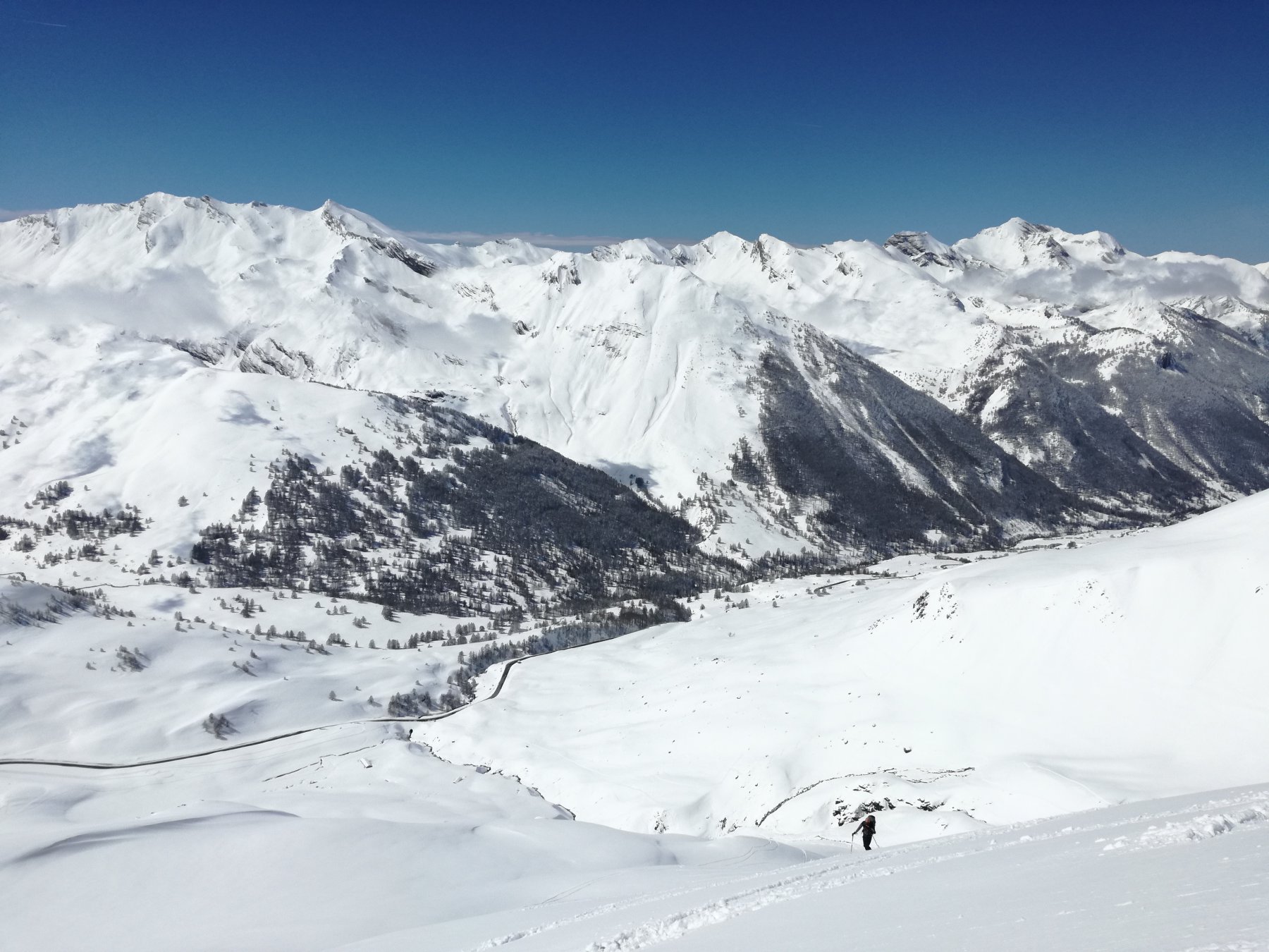
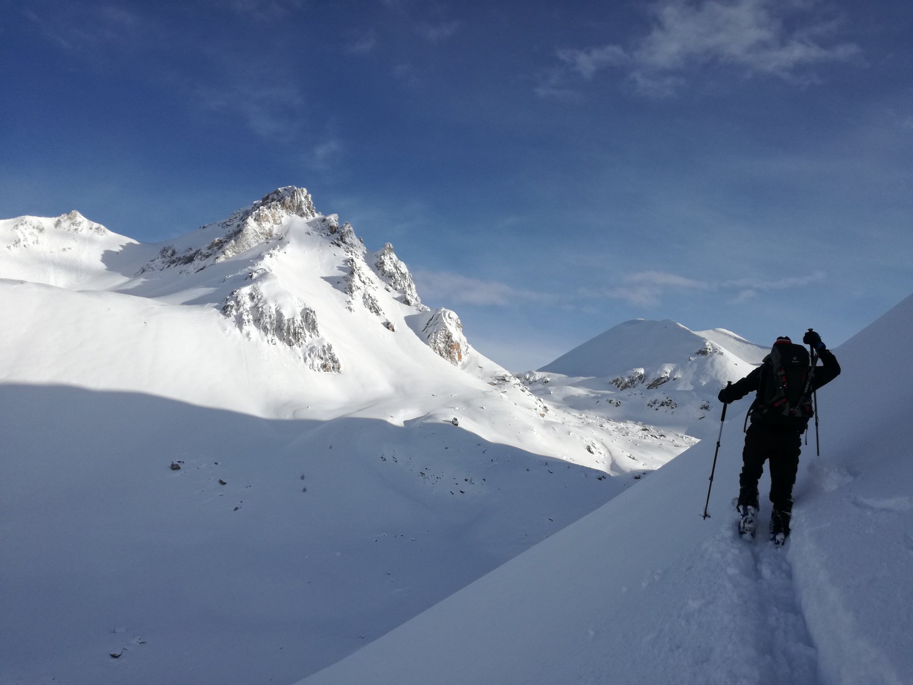
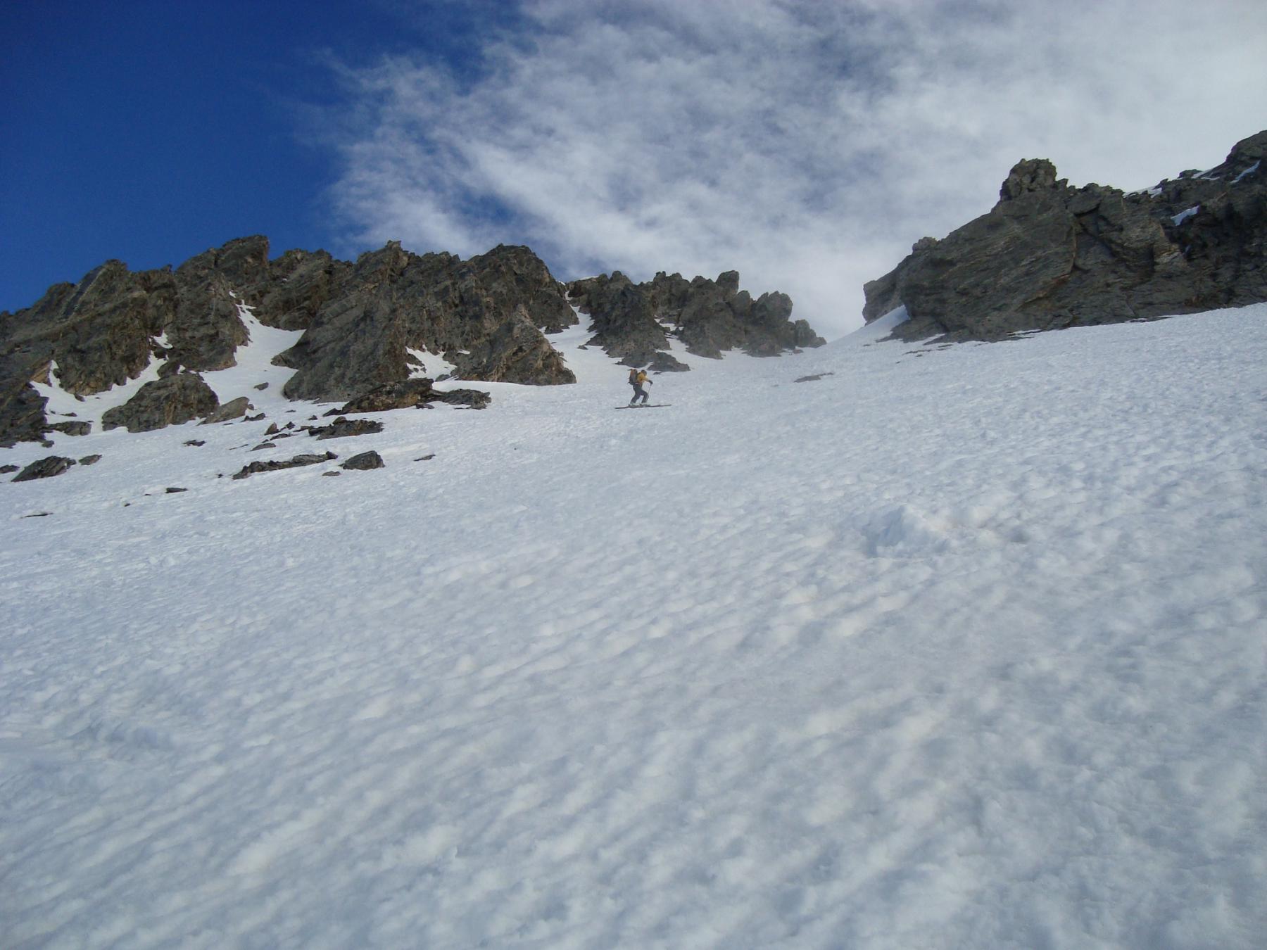
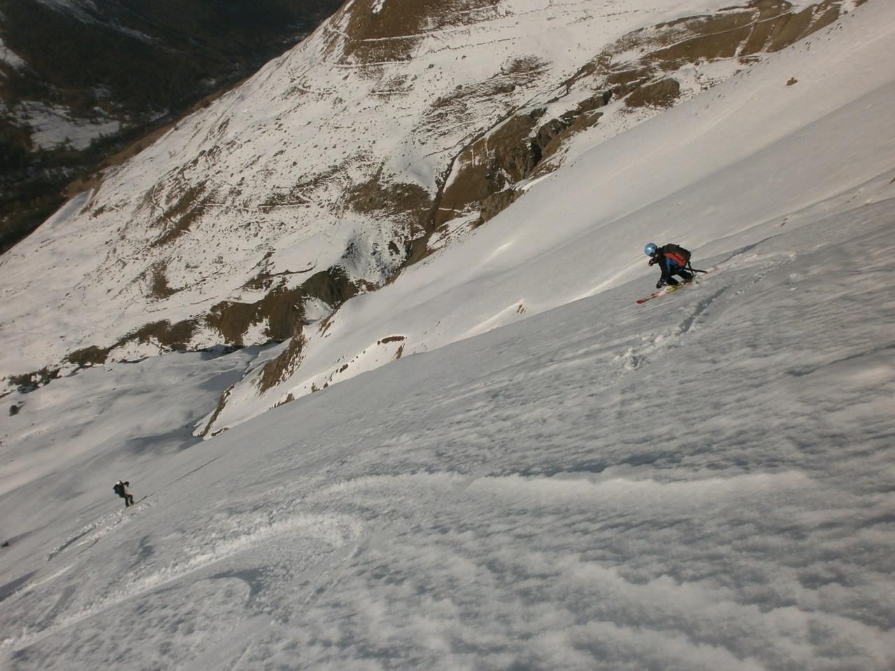
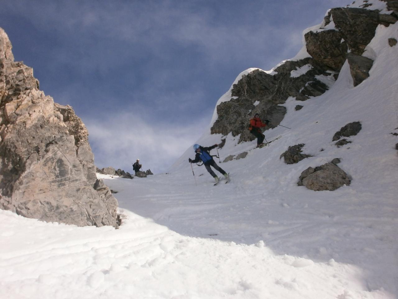
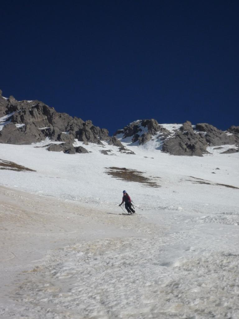
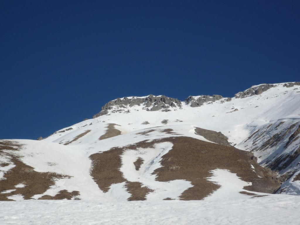
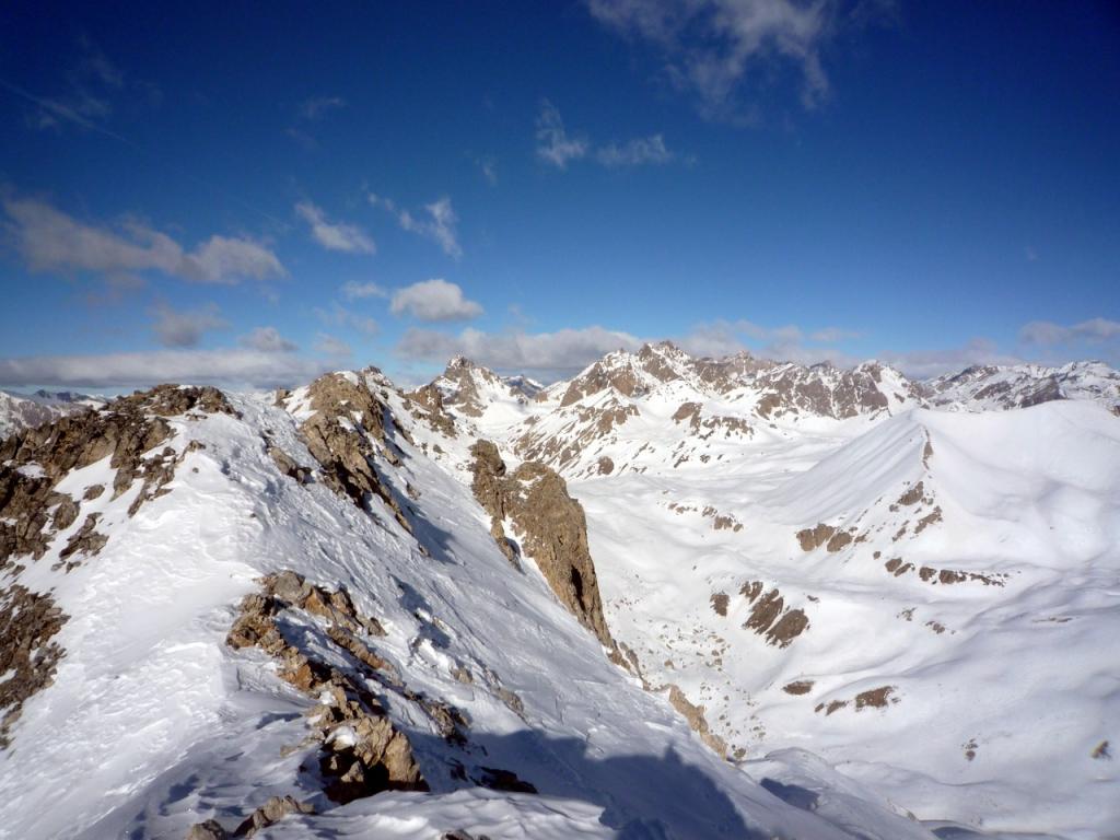
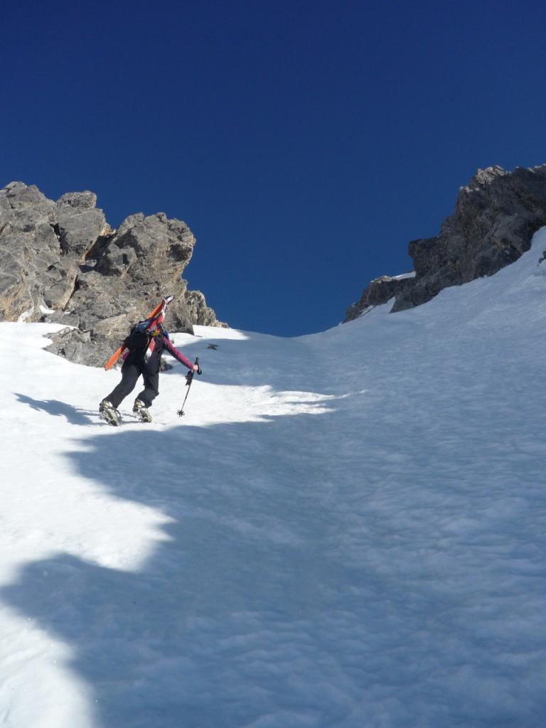
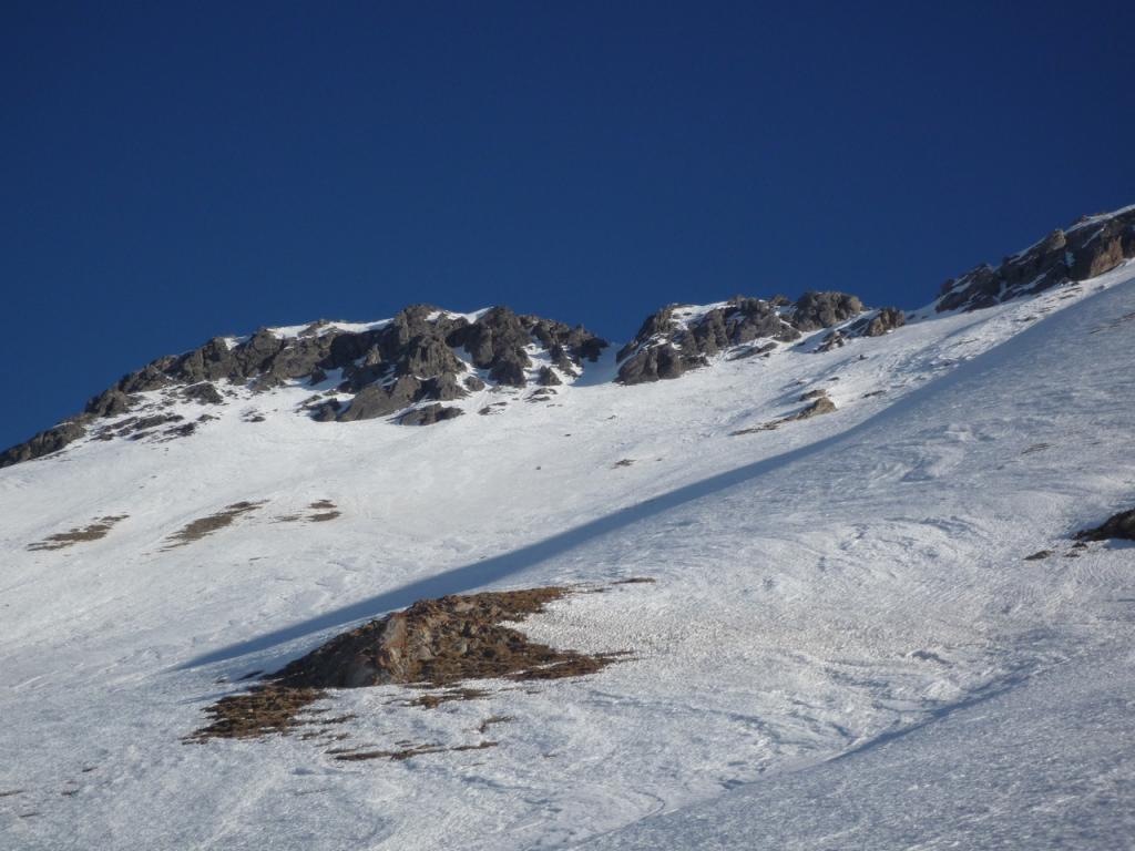
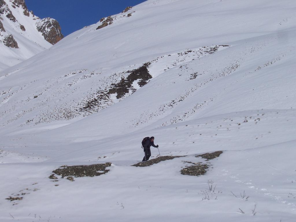
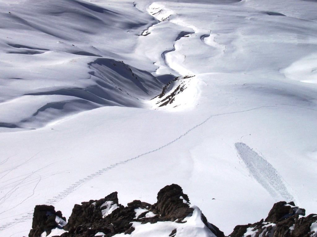
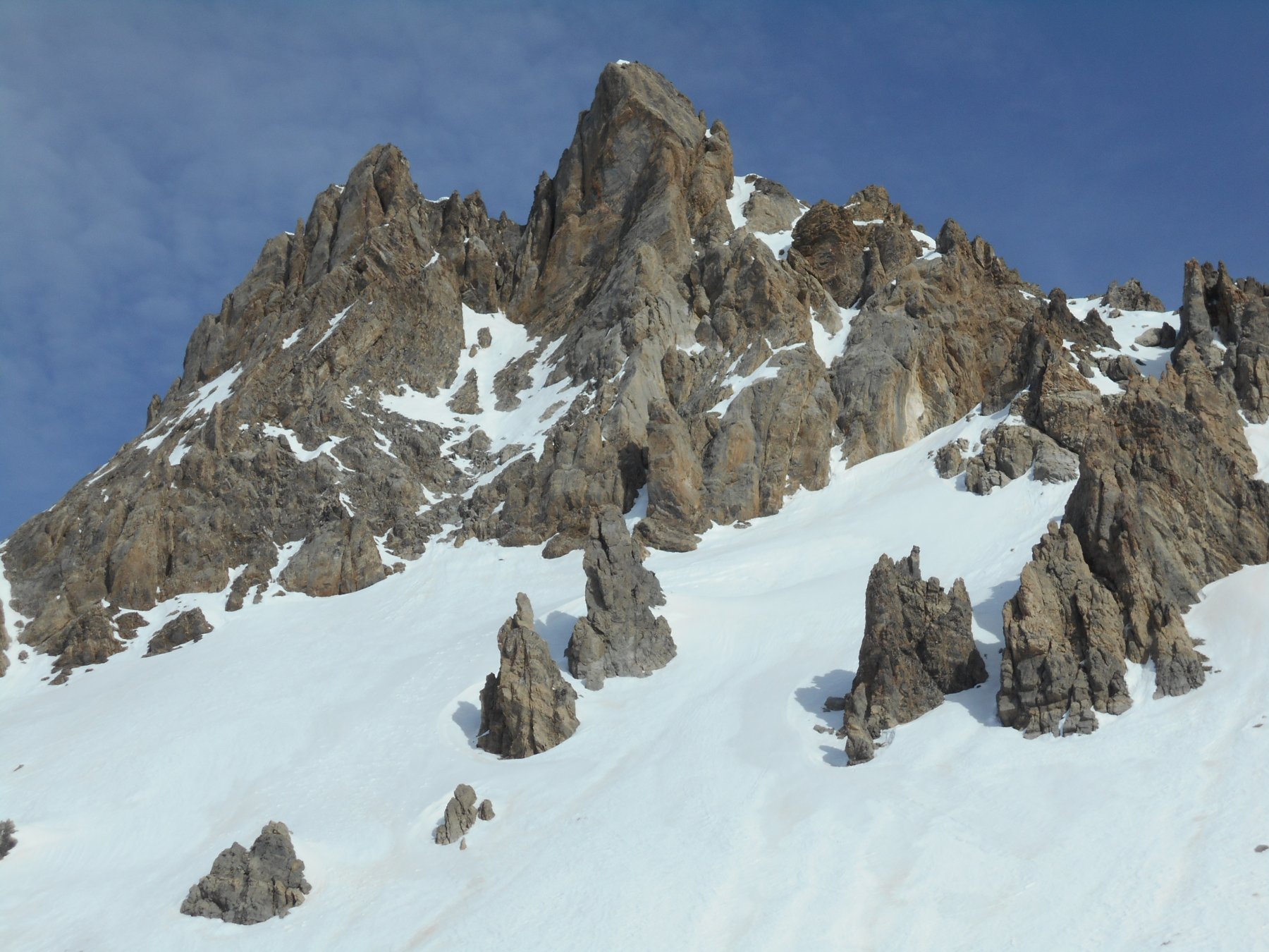
Itinerario semplice e veloce. Vista l'esposizione(SW) ideale con neve trasformata.
Descrizione
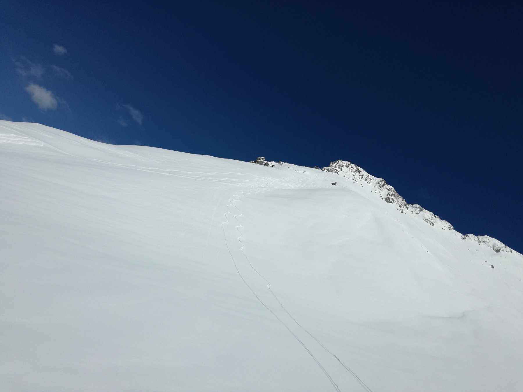
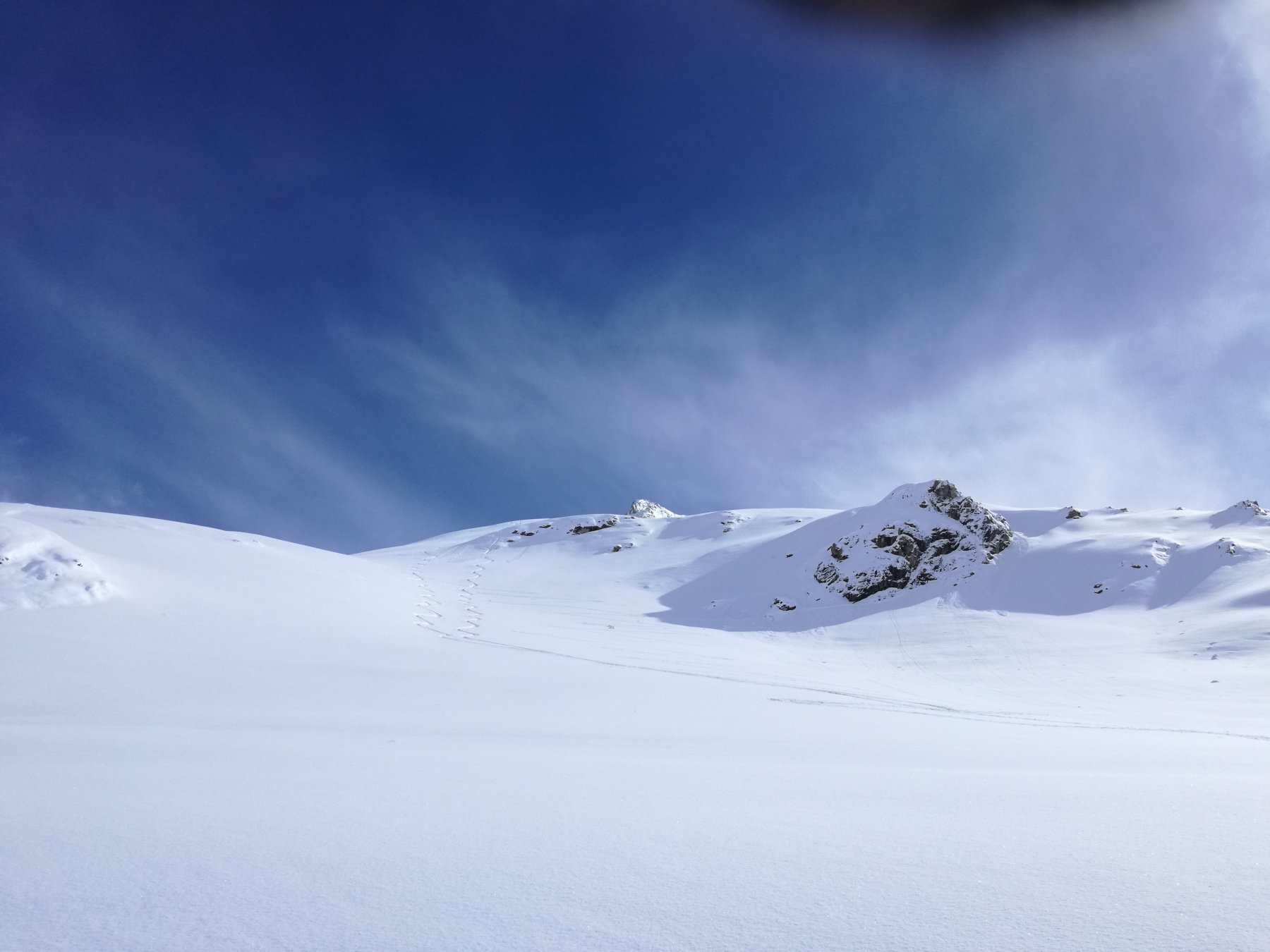
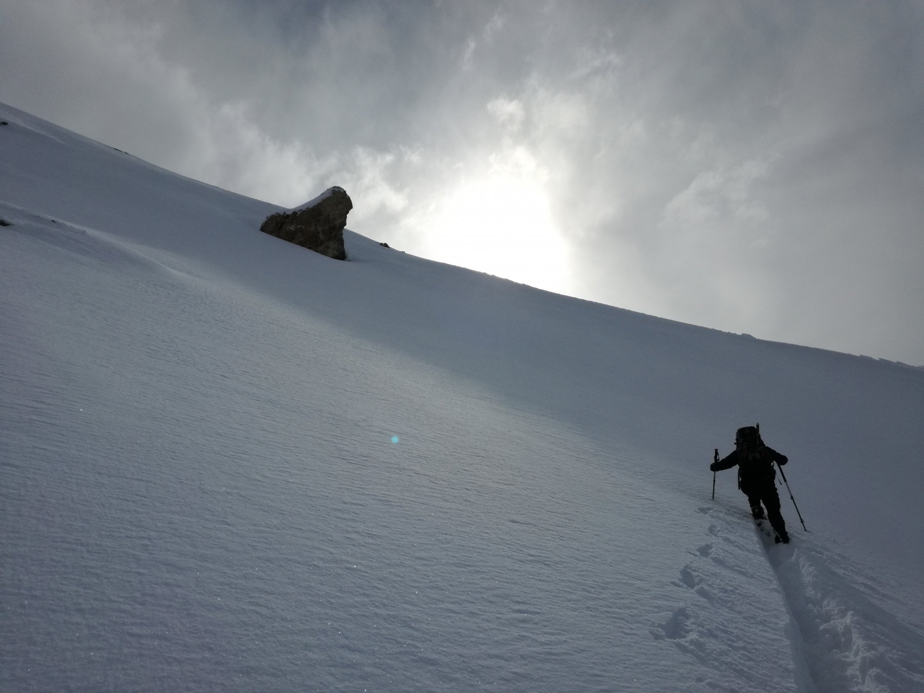
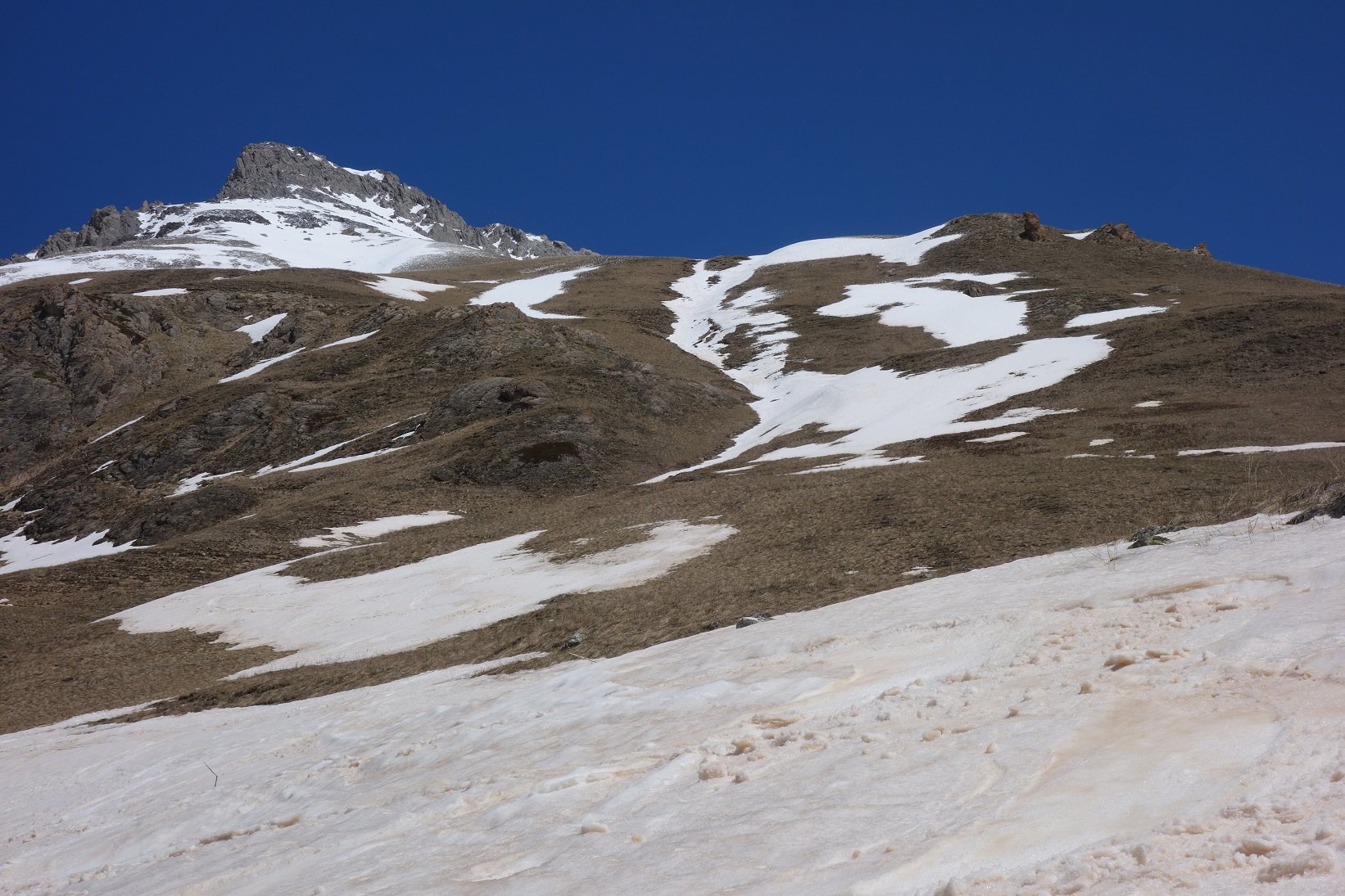
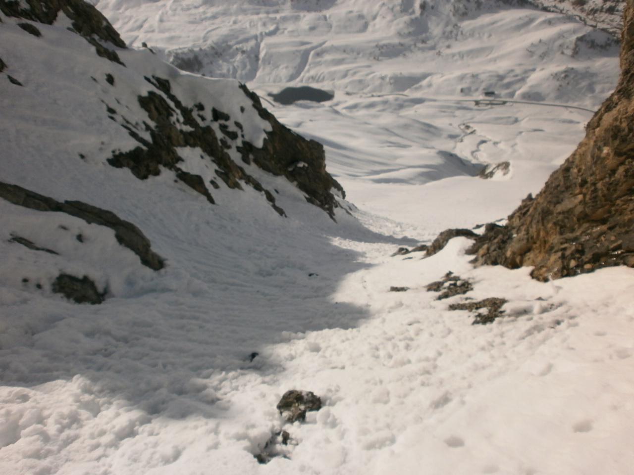
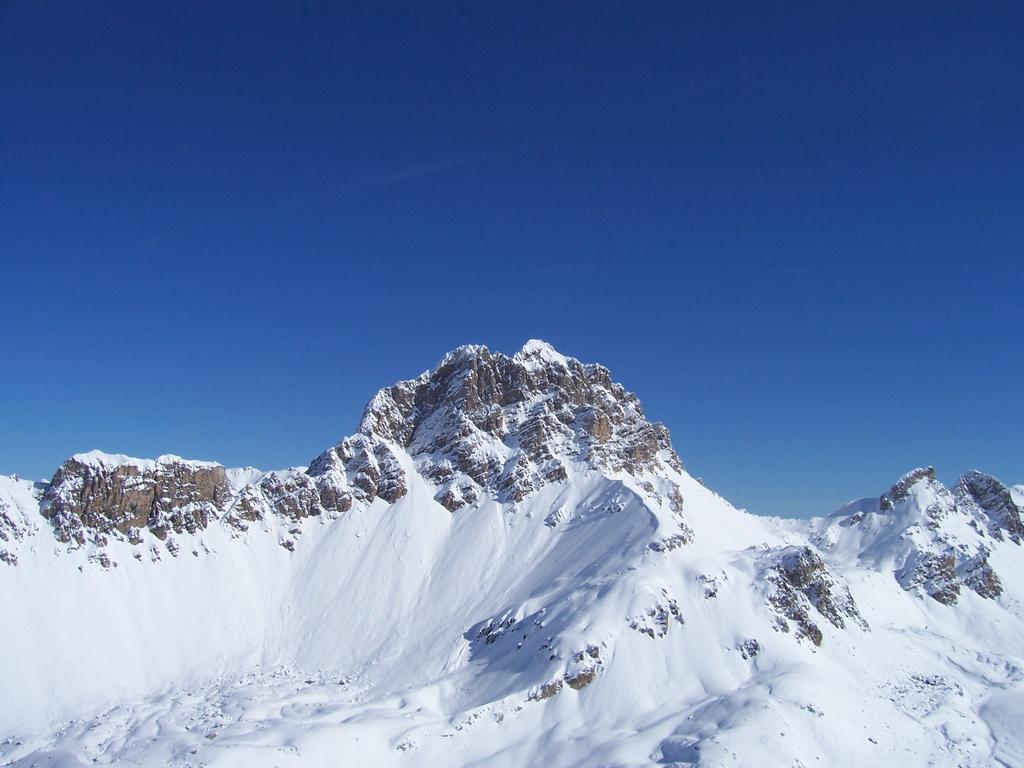
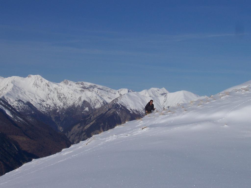
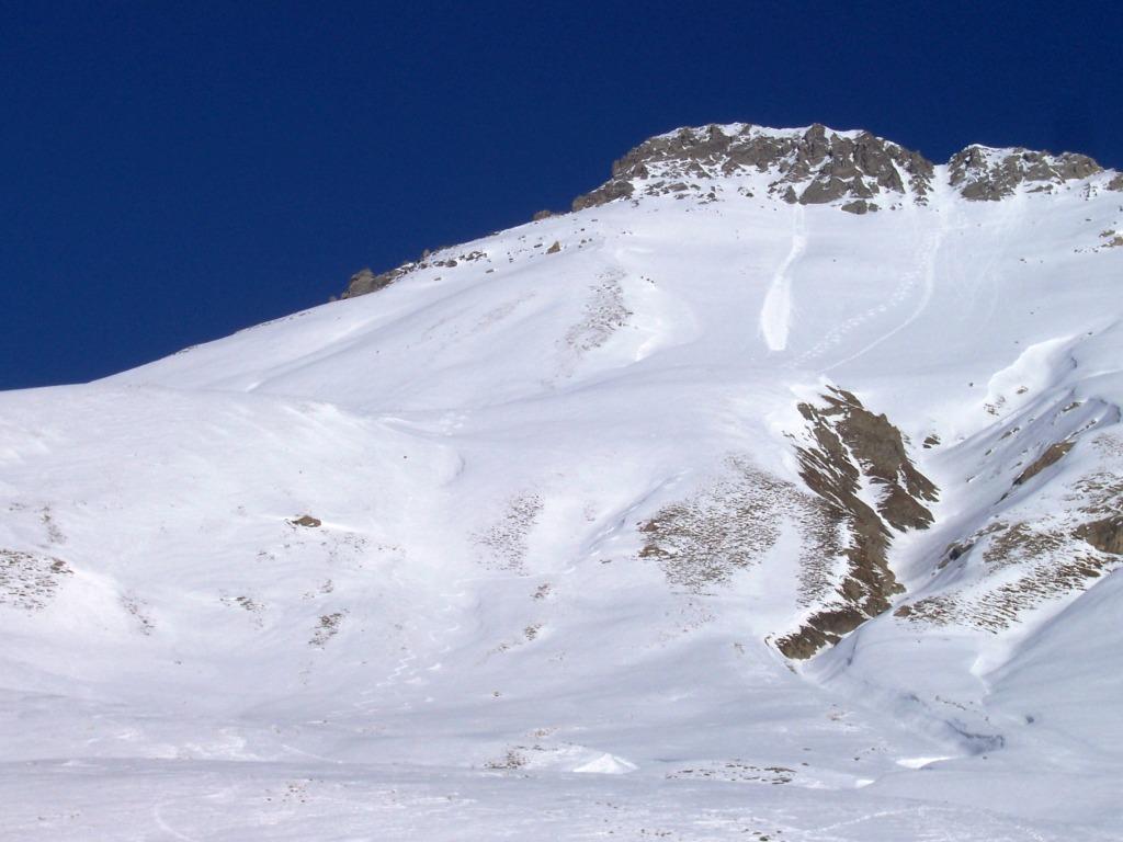
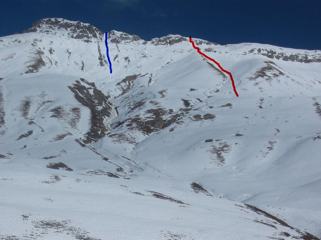
Dal parcheggio posto sul confine italo-francese del colle della Maddalena si sale i pendii del monte Blaves puntando a un piccolo e breve canale che sbuca in cima.
Volendo si può partire da Pontet e seguire la spalla W (itinerario proposto dalla guida francese “Toponeige Alpes de Haute Provence).
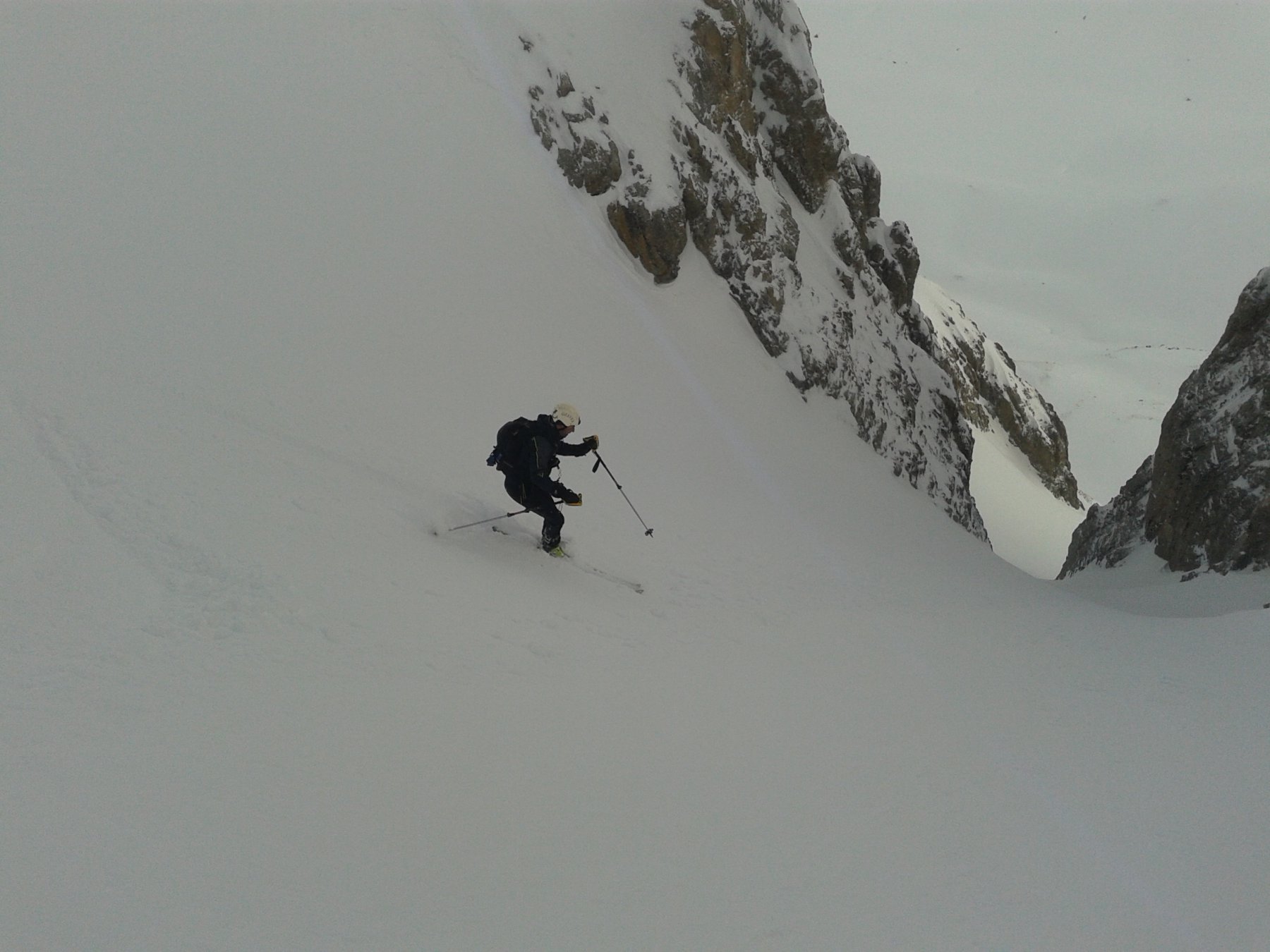
Le pendenze sono intorno ai 30°35°, mentre nel canalino arrivano ai 40°.
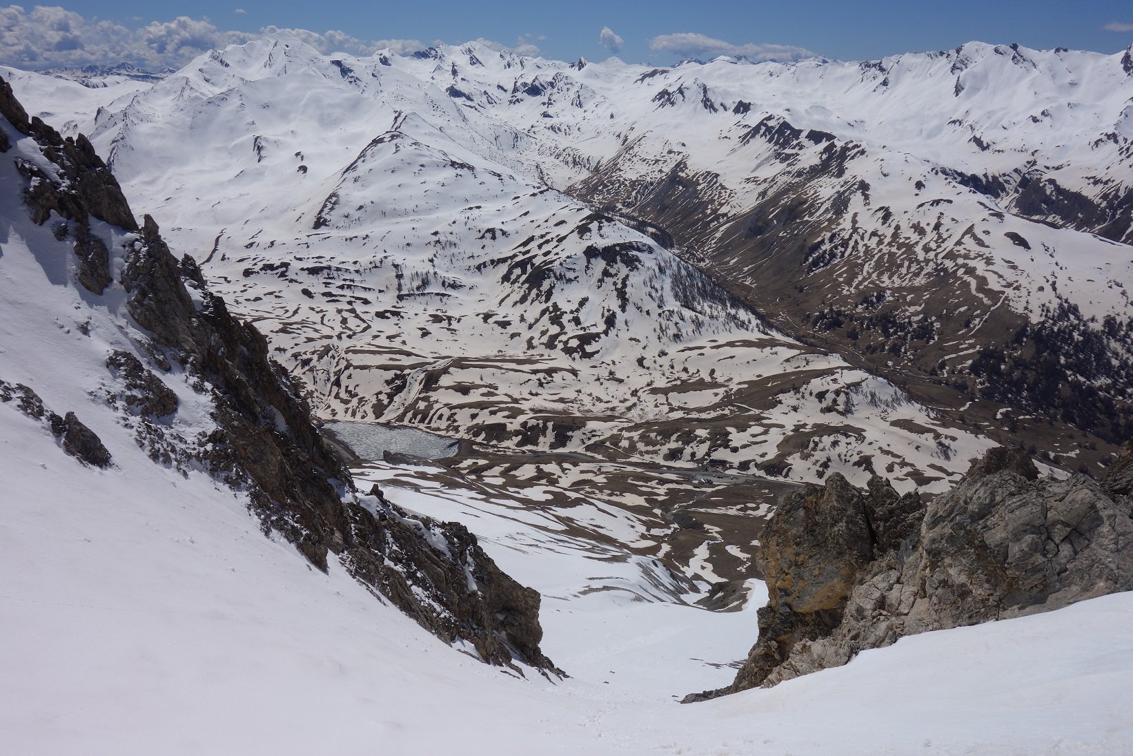
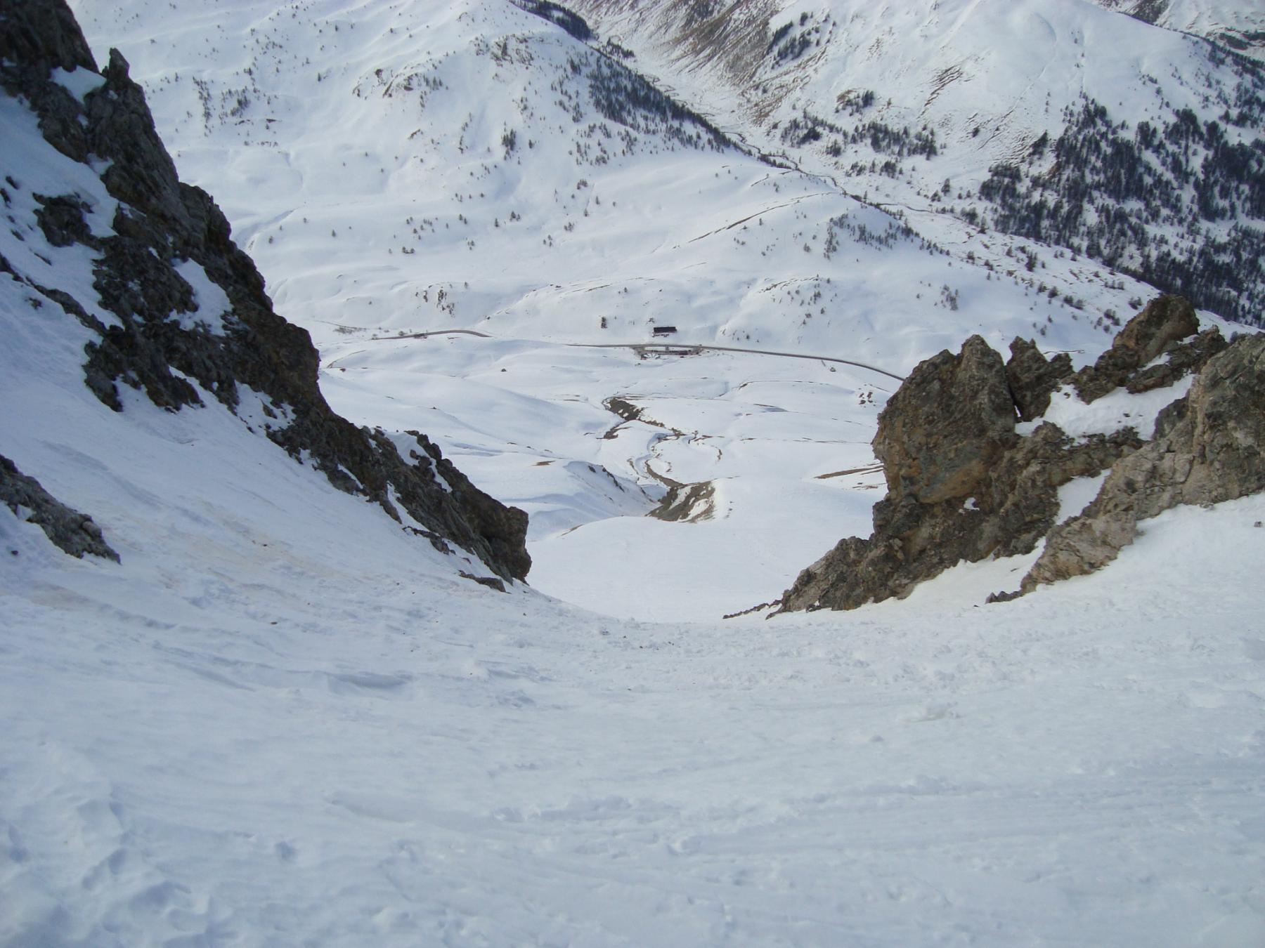
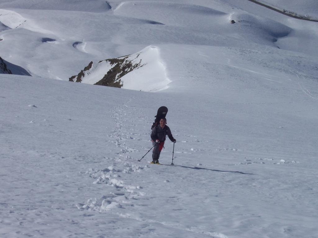
Discesa a “schema libero”.
Nelle vicinanze Mappa
Itinerari
23/12/2022 CN, Bersezio/Argentera D+ 800 m I, 4.2, E1 Nord-Est
Blaves (Tete de) Canale nord est
 50m
50m
30/12/2025 CN, Bersezio/Argentera D+ 1152 m II, 5.1, E3 Sud
Oronaye (Monte) Canale Sud di Destra
 50m
50m
03/12/2016 CN, Bersezio/Argentera D+ 800 m I, 4.1, E2 Nord-Ovest
Blaves (Tete des) Canale NO
 150m
150m
25/02/2017 Alpes-de-Haute-Provence, Val-d'Oronaye D+ 1470 m I, 4.1, E1 Sud-Est
Meyna (Sommet de la) spalla Nord 2960 m Canale SE
 550m
550m
08/12/2016 CN, Bersezio/Argentera D+ 796 m 4.2, E2 Nord-Est
Signora (Monte della) Parete NE
 850m
850m
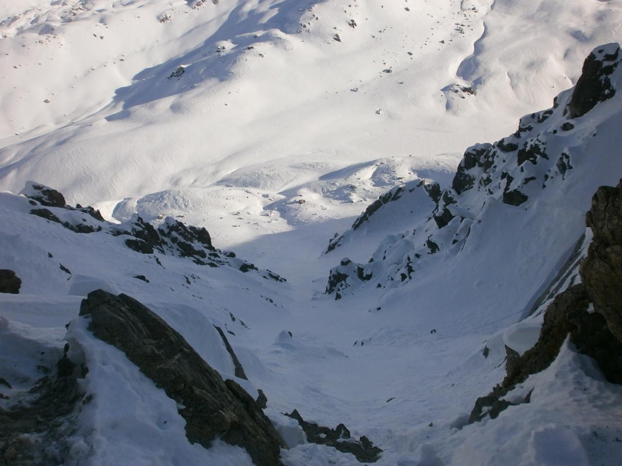
24/02/2019 Alpes-de-Haute-Provence, Val-d'Oronaye D+ 850 m II, 3.3, E1 Sud
Enclausetta de l’Oronaye ovest (Col d’) Canalino Sud
 950m
950m
03/12/2016 Alpes-de-Haute-Provence, Val-d'Oronaye D+ 816 m I, 4.2, E2 Nord-Est
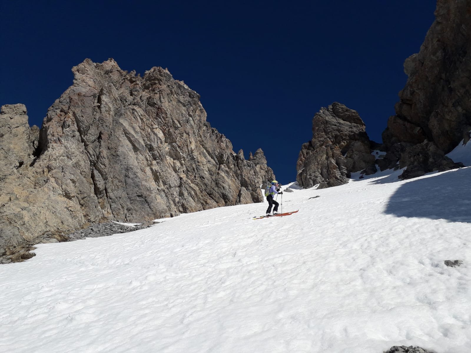
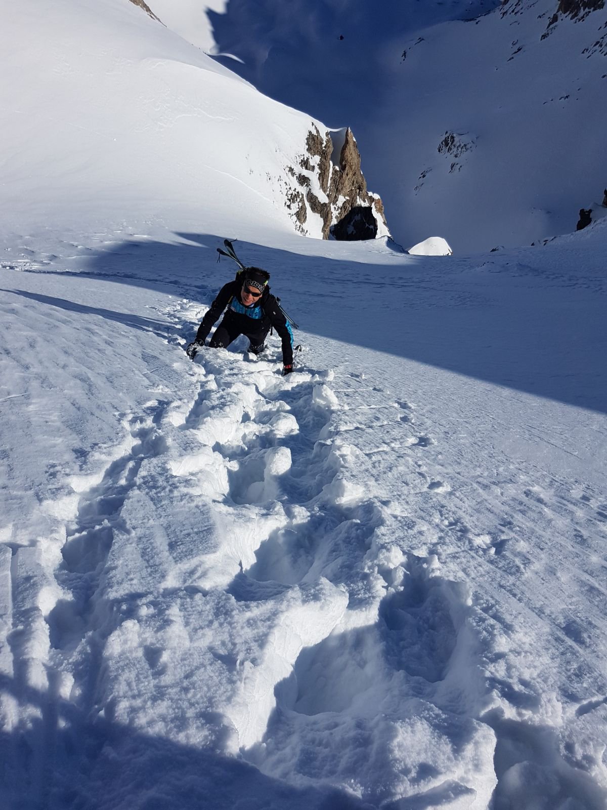
Peyron (Rocher) – Bec du Lievre Parete NE
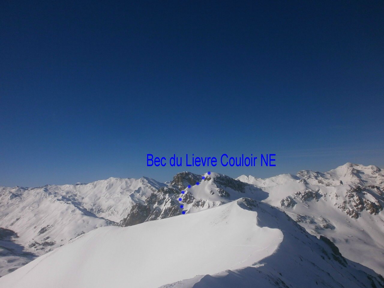 950m
950m
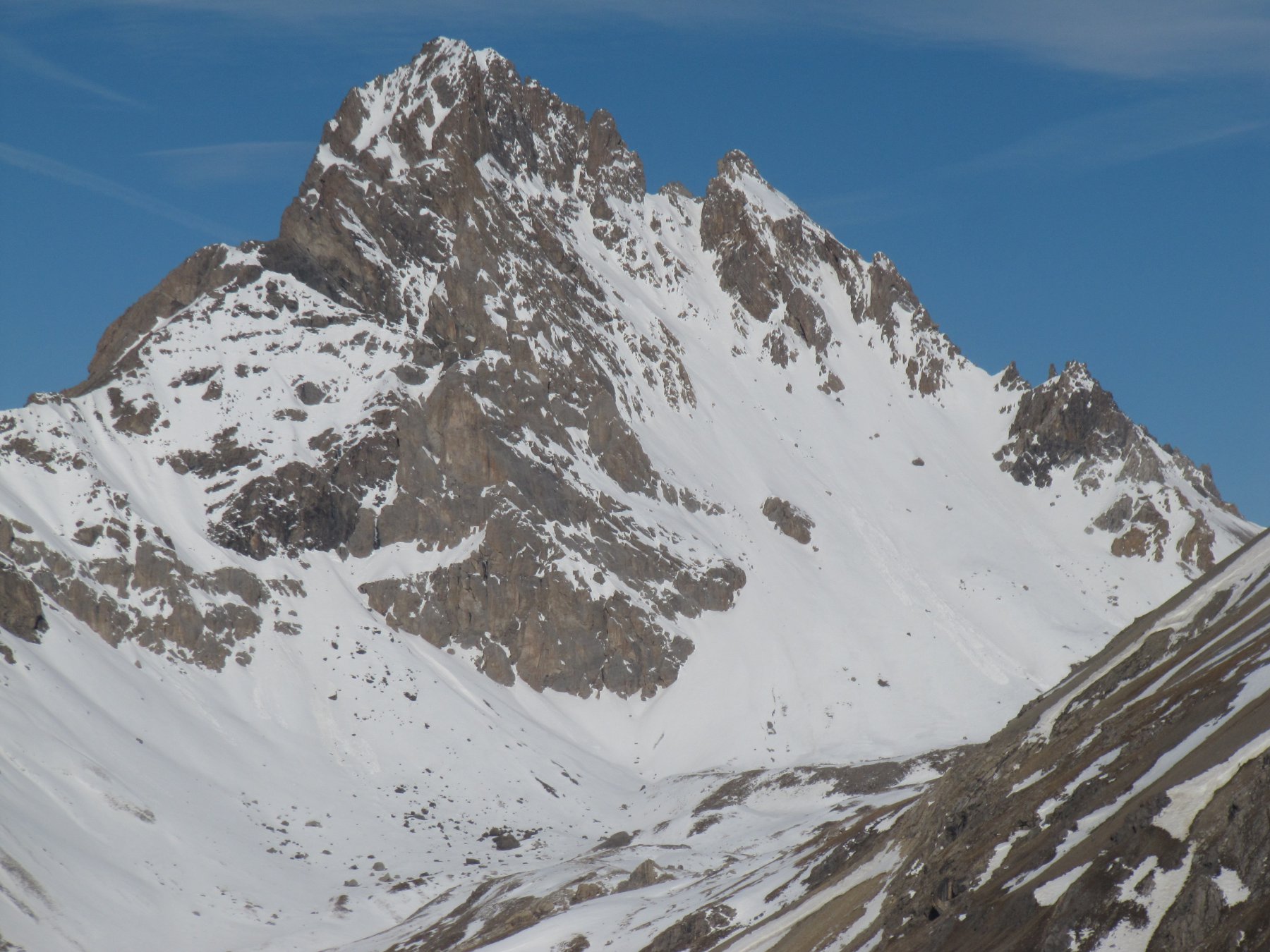
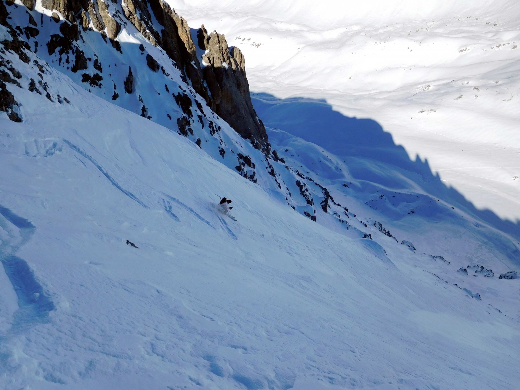
21/04/2025 Alpes-de-Haute-Provence, Val-d'Oronaye D+ 885 m III, 4.1, E2 Sud-Ovest
Oronaye (Aiguille orientale d’) Canali SO e S/SO
 950m
950m
02/04/2018 Alpes-de-Haute-Provence, Val-d'Oronaye D+ 900 m I, 4.1, E2 Nord-Ovest
Platasse (Tete) Paretina NO
 950m
950m
04/03/2026 Alpes-de-Haute-Provence, Val-d'Oronaye D+ 1152 m I, 4.2, E2 Varie
Oronaye (Monte) Canale sud di Sinistra (Via Normale)
 950m
950m