50m
50m

Note
 50m
50m
50m
50m
50m
50m
50m
50m
50m
50m
50m
50m
50m
50m
50m
50m
50m
50m
50m
50m
50m
50m
150m
1.5Km
2.9Km
2.9Km
3.6Km
3.6Km
4.2Km
5.1Km
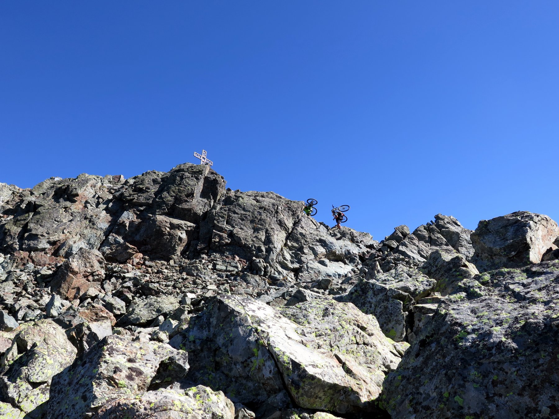
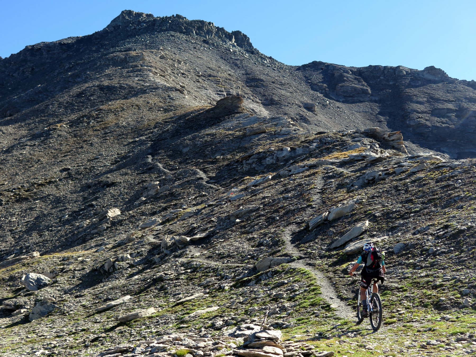
Consigliato vivamente faticare per un'ora e mezza circa di portage per poi godersi la discesa spettacolare! Sentiero in discesa dalla cima OC, punti non ciclabili.
Avvicinamento
.
Descrizione
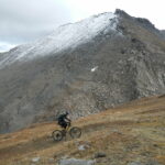
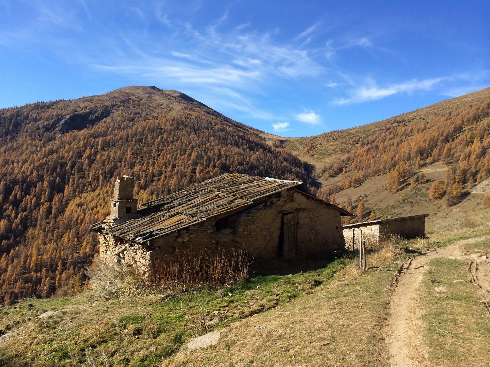
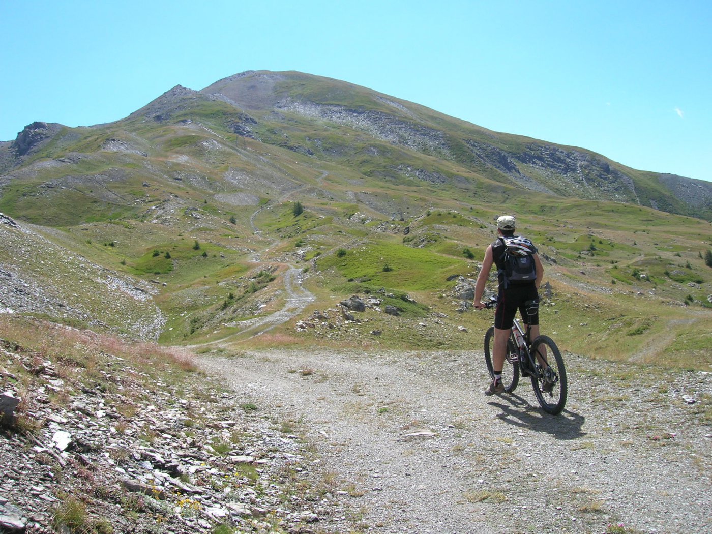
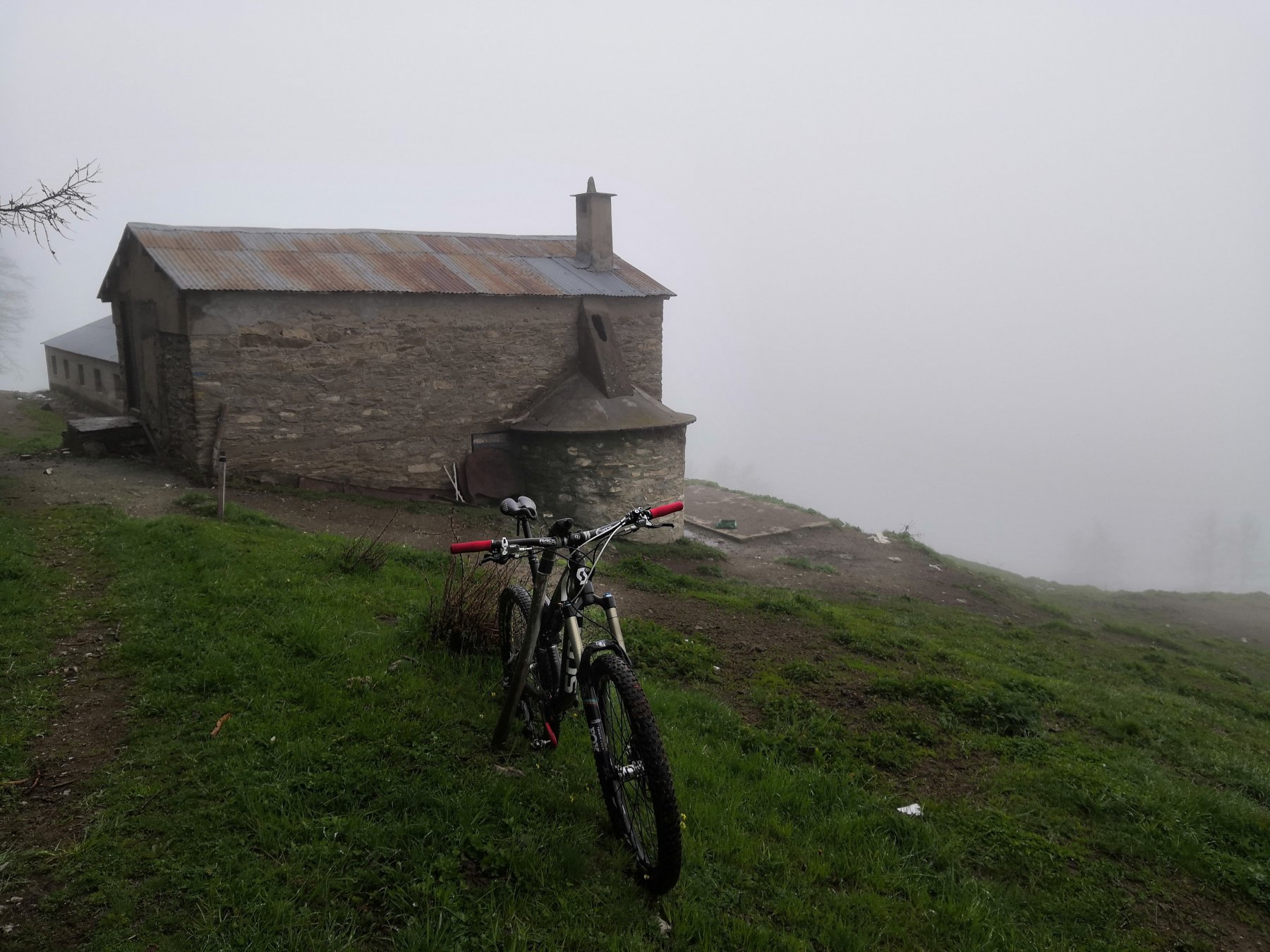
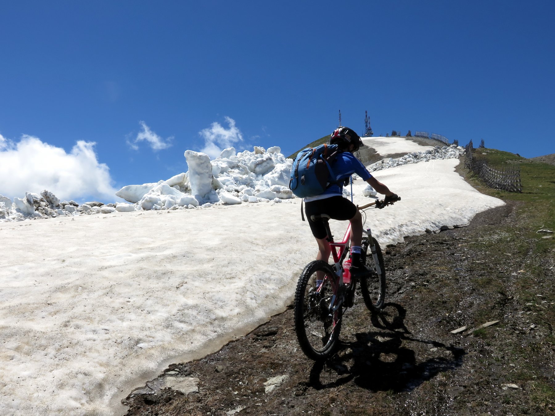
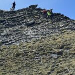
Partiamo in bici da Pragelato (fraz. Ruà)1500m. circa, dopo aver lasciato la macchina sul piazzale della pista per auto su ghiaccio, procediamo quindi verso la stessa attraversandola passando su un ponte in legno, subito dopo svoltiamo a sinistra su una bella strada sterrata che scende in direzione di Soucher Basses abbandonandola dopo circa 1 km per prendere a destra la strada sterrata carrozzabile che sale in direzione della Bergeria di Pra Damont che raggiungiamo senza possibilità di errore. Qui a quota 1930 m. circa la strada finisce ed inizia il sentiero n° 316 del GTA sempre ben segnalato, lo seguiamo spingendo la bici per qualche centinaia di metri per poi caricarle a spalle. Ci dirigiamo verso il primo ripido plateau che con pendenza sempre elevata (anche di 35°) ci porta velocemente in cresta, dopo una breve pausa proseguiamo sempre in cresta raggiungendo prima un grosso masso da aggirare e successivamente la pietraia finale. Sempre con lo sguardo rivolto alla croce di vetta saliamo sui roccioni fino a raggiungere gli ultimi 10 metri che “scaliamo” arrivando alla cima (3041m.).
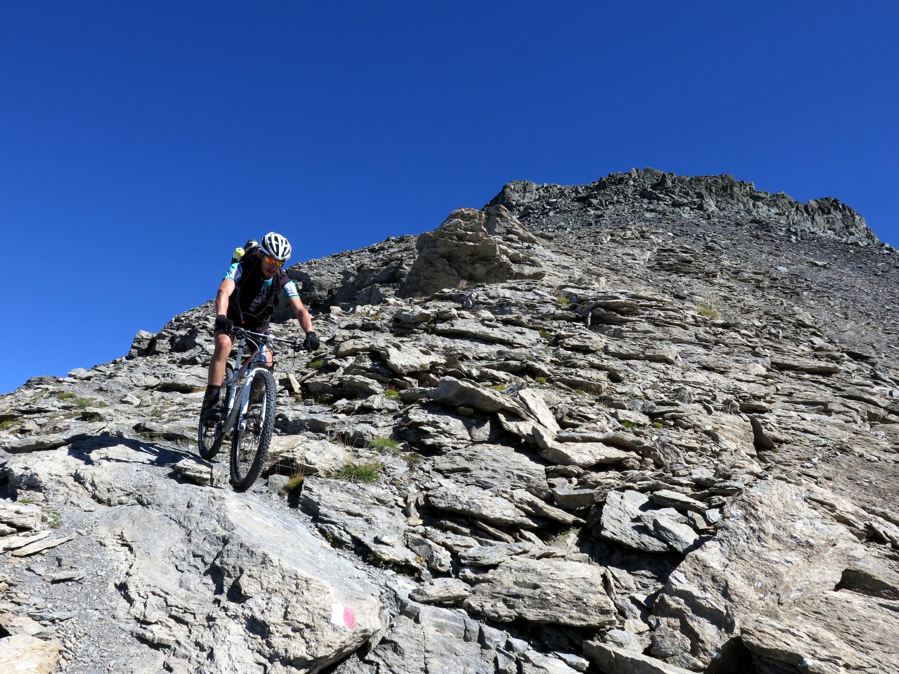
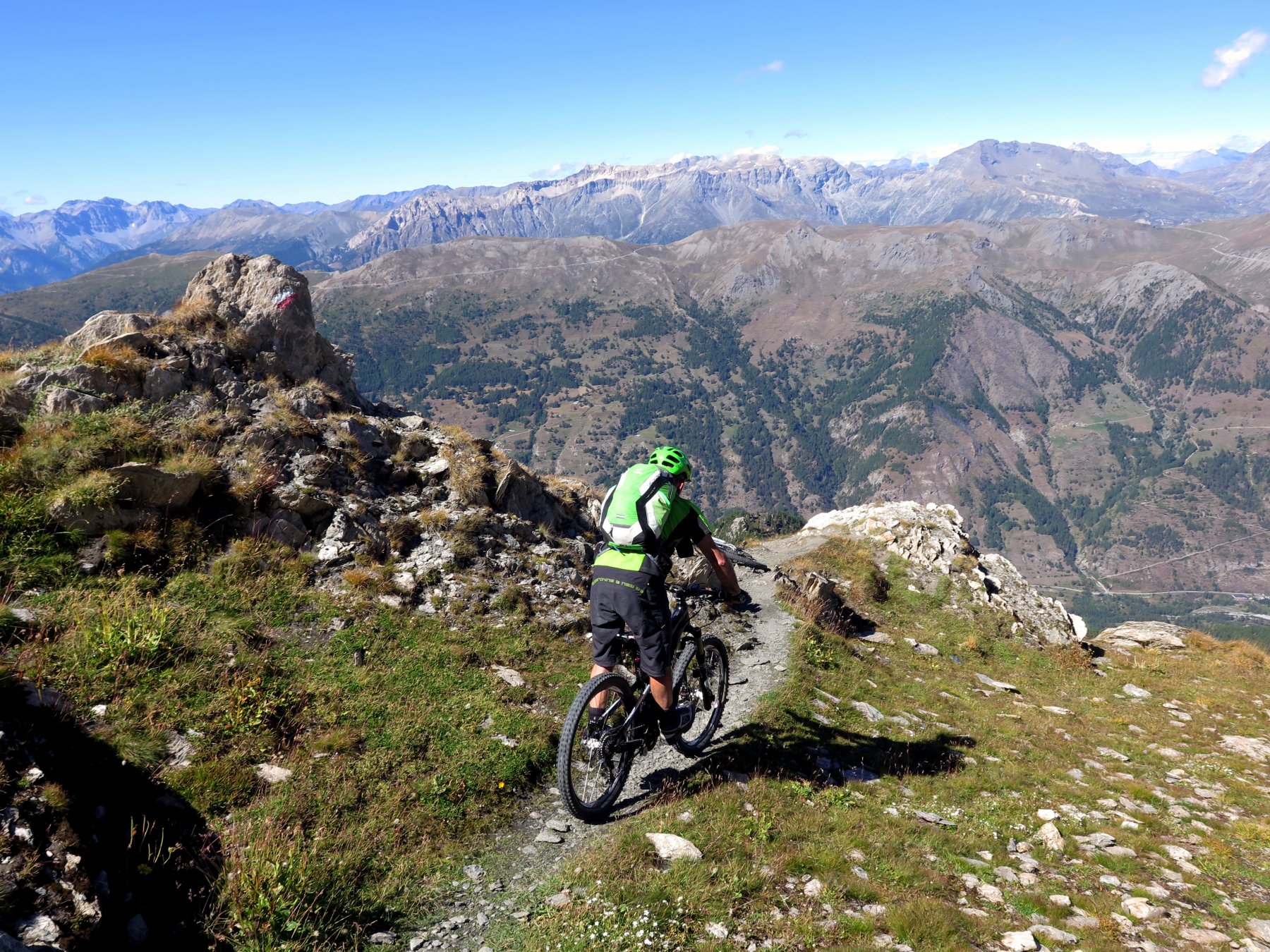
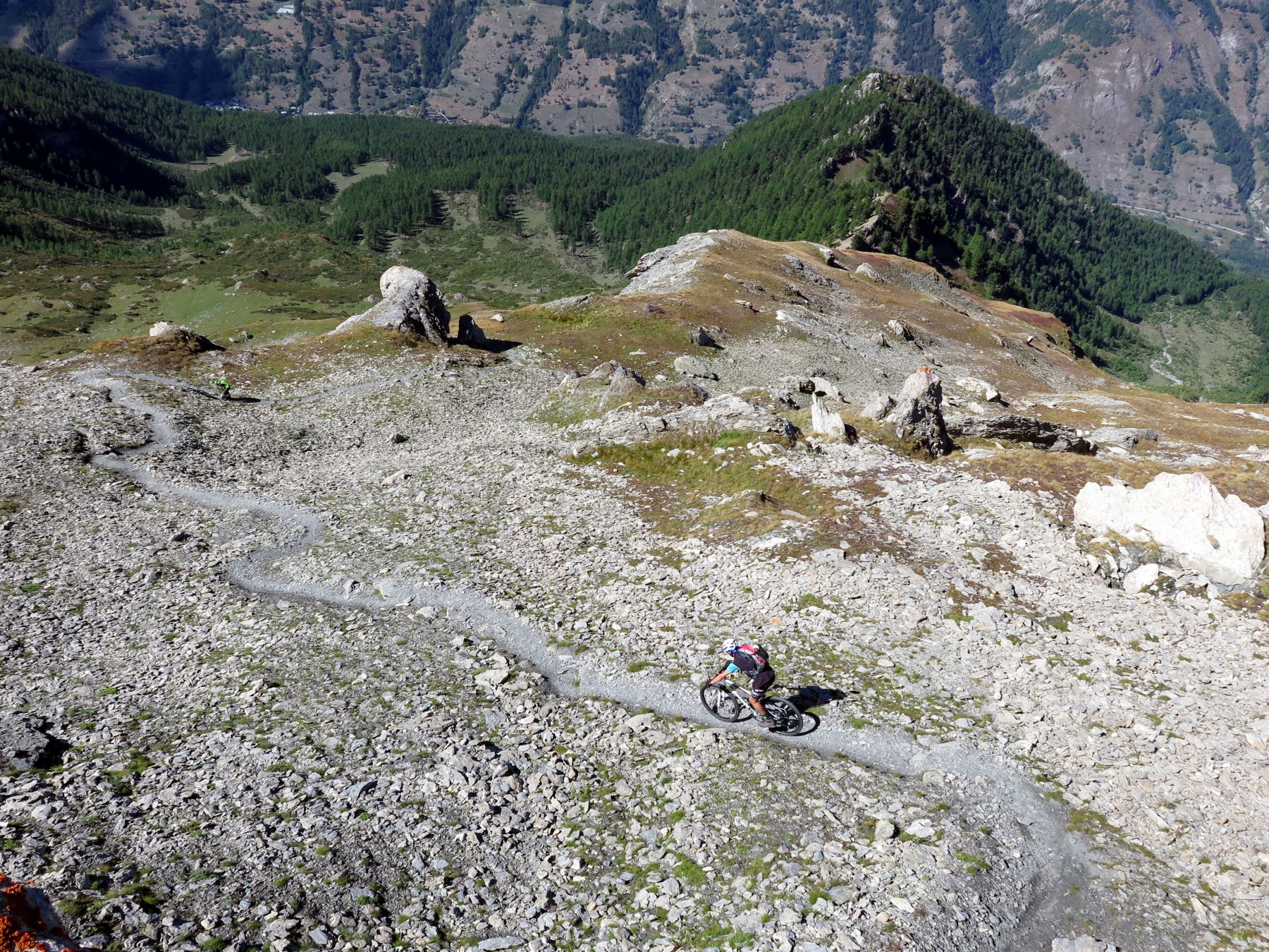
Per la discesa seguiamo l’itinerario di salita, possibilità di allungare la discesa imboccando il sentiero che parte poco sopra la bergeria sulla nostra sinistra che scende verso il vallone del Mendie (tratti OC) e va ad uscire vicino alle piste da sci oppure imboccare il sentiero che parte due curve sotto alla bergeria (in questo caso tratti BC+) e va sbucare proprio davanti al ponte sulla pista per auto su ghiaccio. Attraversato il ponte torniamo alla macchina.
- Cartografia:
- IGC 1:50.000 n°1
Nelle vicinanze Mappa
Itinerari
22/06/2025 TO, Pragelato D+ 1250 m BC+, BC+, S2 Ovest
Morefreddo (Monte) da Pragelato per il Clot della Soma e il Colle del Pis
 50m
50m
21/08/2019 TO, Pragelato D+ 2300 m BC+, BC+, S2 Varie
Appenna (Monte) da Pragelato, giro Val Troncea-Valle Argentera
 50m
50m
01/11/2014 TO, Pragelato D+ 1180 m BC+, OC+, S4 Sud
Blegier (Monte) da Pragelato per l’Alpe Giarasson, discesa Dorsale Sud
 50m
50m
12/08/2009 TO, Pragelato D+ 2000 m BC, TC, S0 Varie
Pis (Colle del) da Pragelato
 50m
50m
16/06/2021 TO, Pragelato D+ 1634 m BC+, BC+, S2 Varie
Ruetas (Monte) e Monte Morefreddo da Pragelato per il Colle del Pis
 50m
50m
24/06/2021 TO, Pragelato D+ 1250 m BC+, BC+, S2 Sud-Est
Genevris (Monte) e Punta di Moncrons da Pragelato per l’Alpe Giarasson e il Colle Costa Piana
 50m
50m
23/06/2018 TO, Pragelato D+ 1330 m MC+, BC, S4 Sud
Fraiteve (Monte) e Pitre de l’Aigle da Pragelato, giro
 50m
50m
27/08/2020 TO, Pragelato D+ 1200 m OC+, BC+, S2 Tutte
Assietta (Colle dell’) da Pragelato, giro per Colle di Costa Piana e Alpe Giarasson
 50m
50m
06/09/2025 TO, Pragelato D+ 625 m MC+, MC+, S0 Nord-Ovest
Mey (Alpe del) da Pragelato per la Val Troncea
 50m
50m
05/09/2022 TO, Pragelato D+ 1350 m MC+, BC+, S2 Tutte
Fraiteve (Monte) da Pragelato, giro
 50m
50m
Servizi
50m
50m
Passet Ristorante
Pragelato
150m
Casa degli Escartons Alex Berton B&B
Pragelato
1.5Km
L’itialette Ristorante
Pragelato
2.9Km
1898 Ristorante
Soucheres-basses
2.9Km
Refugium – ex. Rif. Belotte Rifugio
Pragelato
3.6Km
La capanna del sole Ristorante
Pragelato
3.6Km
Al Mulino Ristorante
Pragelato
4.2Km
Mulino di Laval Rifugio
Pragelato
5.1Km