450m
450m
Note
 50m
450m
450m
450m
450m
1.2Km
1.8Km
1.8Km
1.8Km
50m
450m
450m
450m
450m
1.2Km
1.8Km
1.8Km
1.8Km
450m
450m
2.2Km
3.2Km
3.3Km
3.3Km
3.4Km
4.6Km
6.1Km
6.2Km
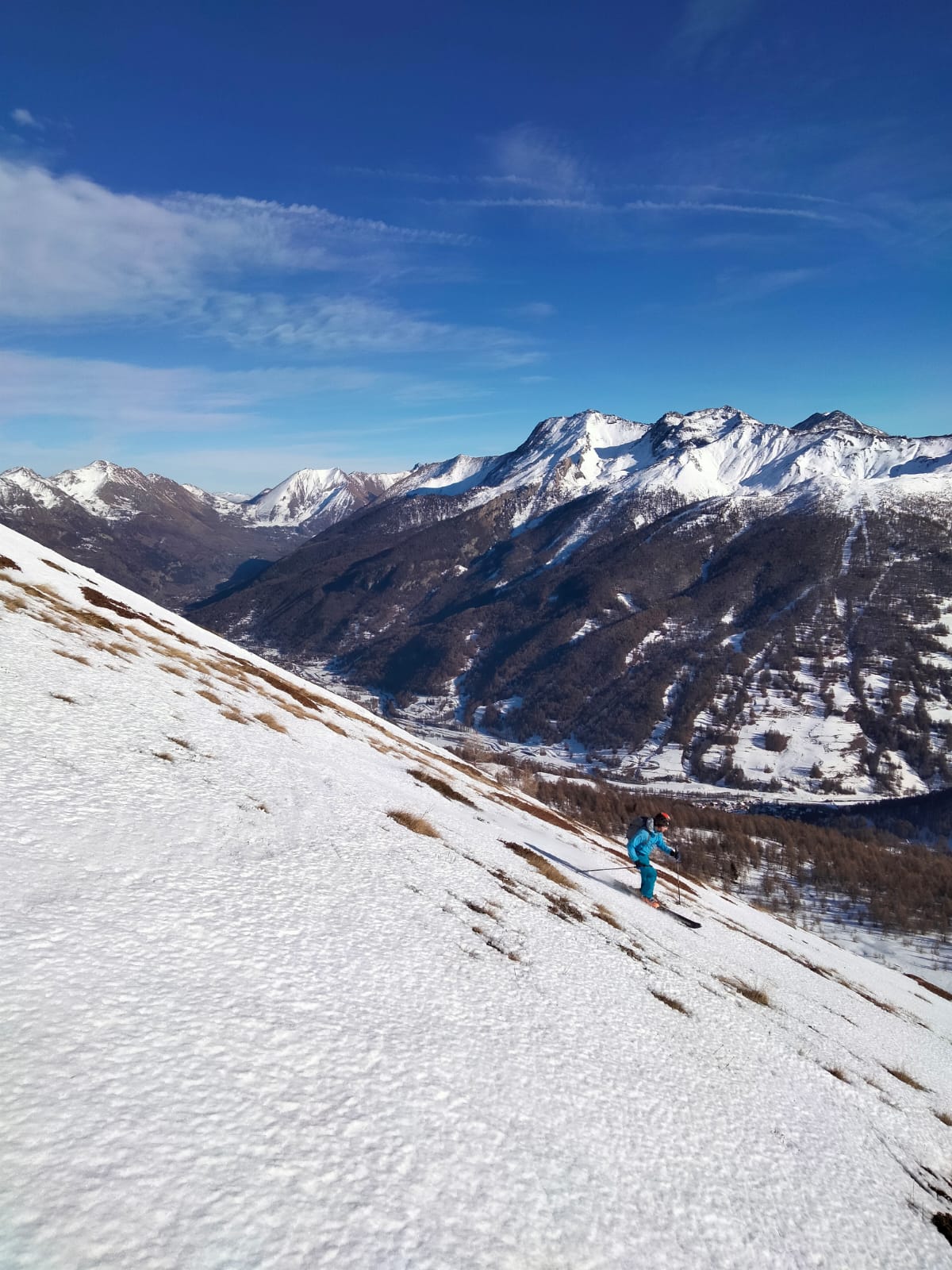
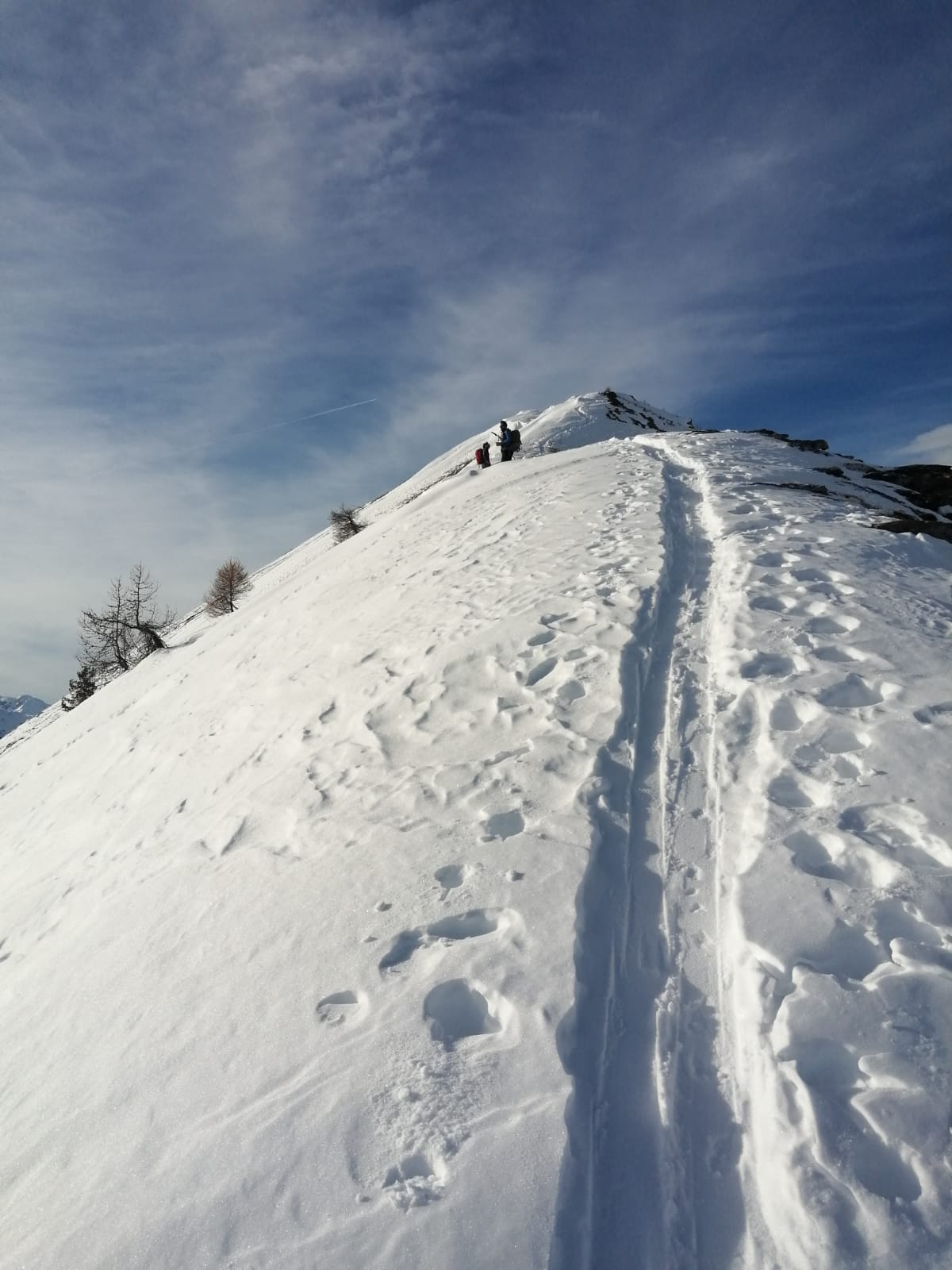
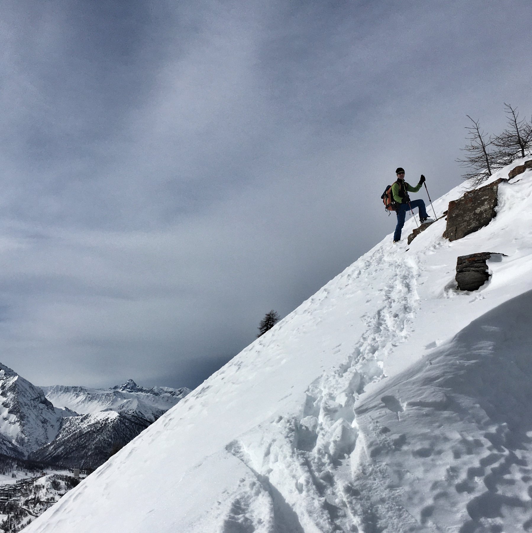
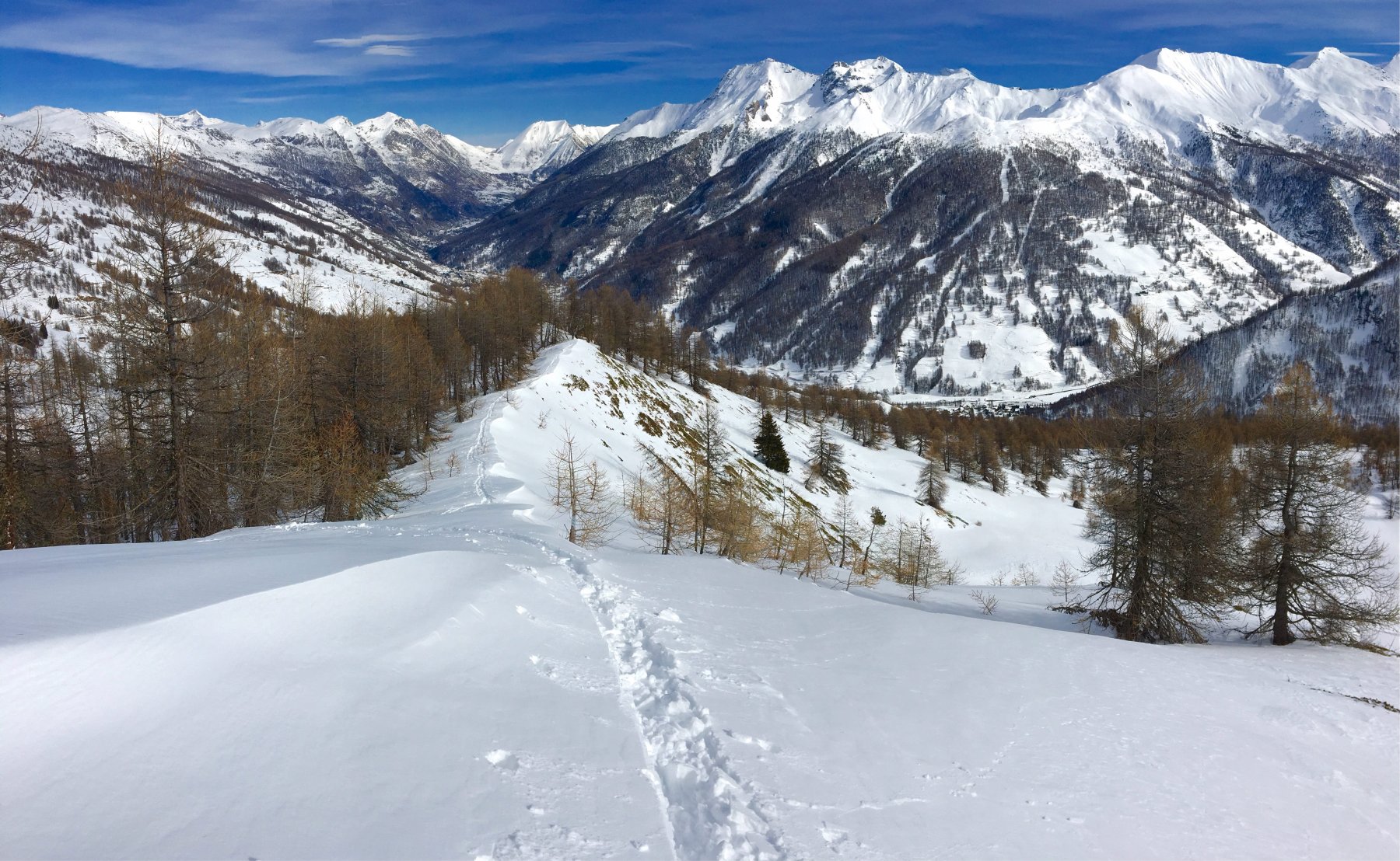
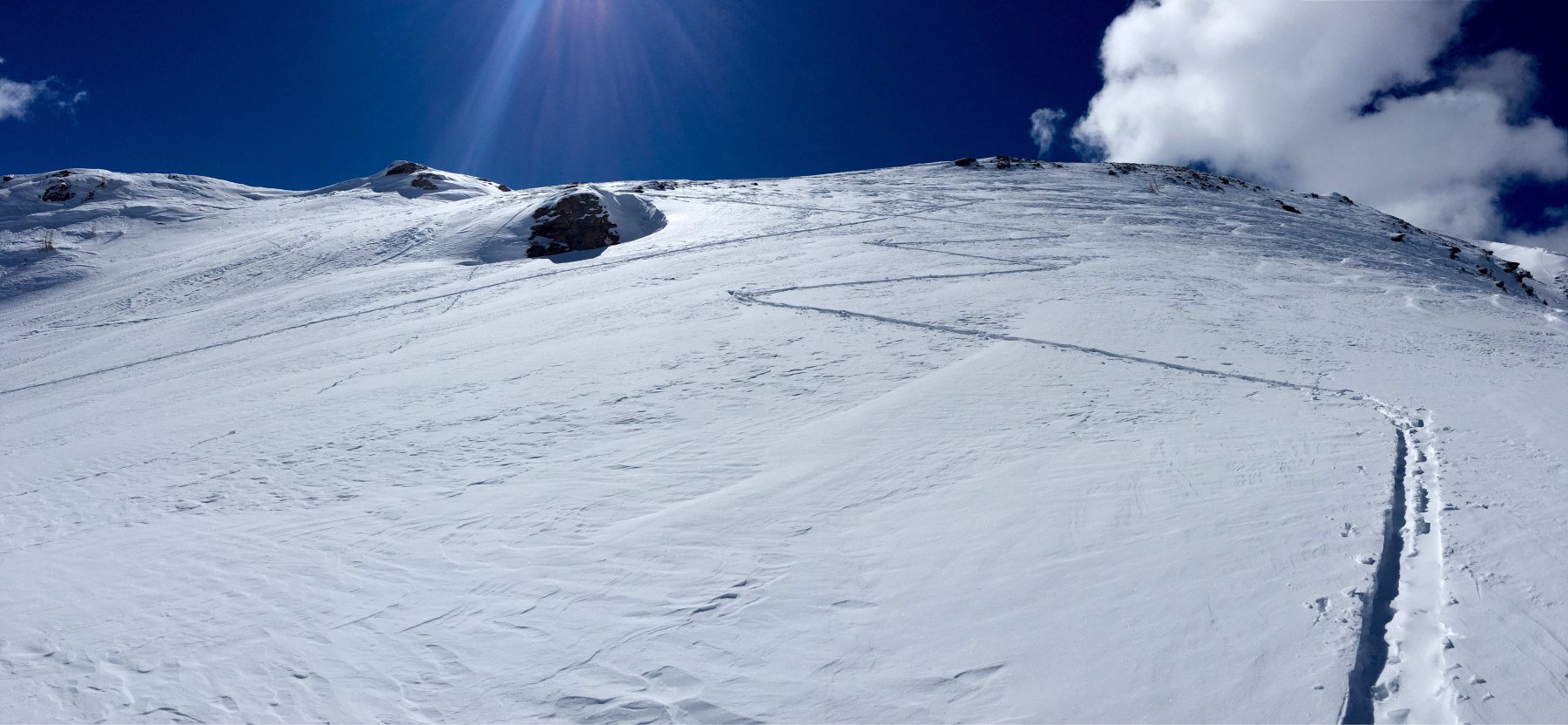
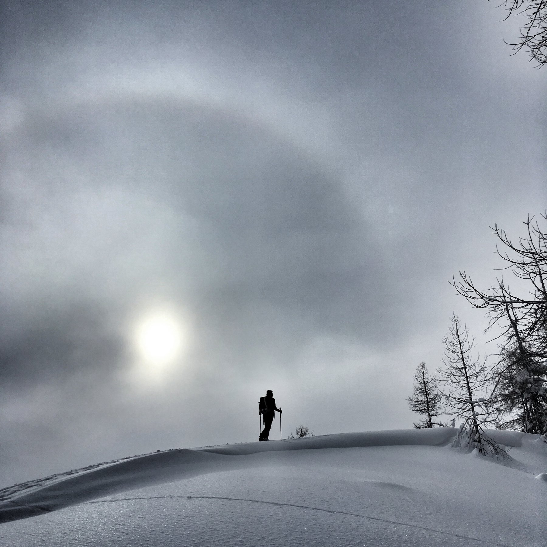
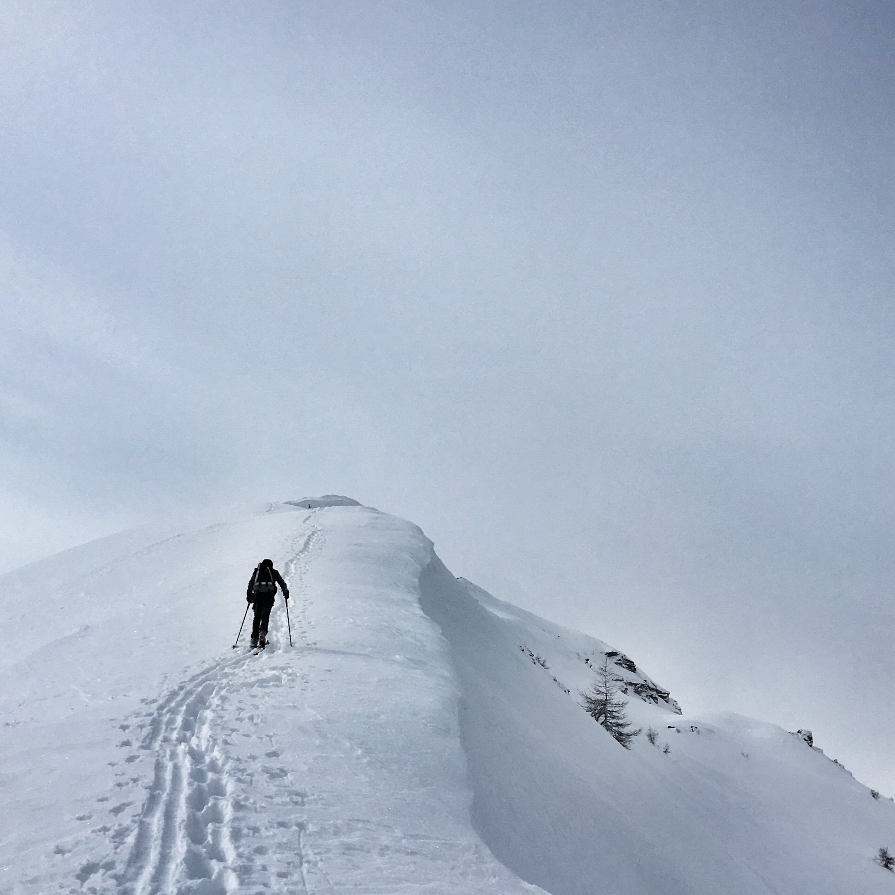
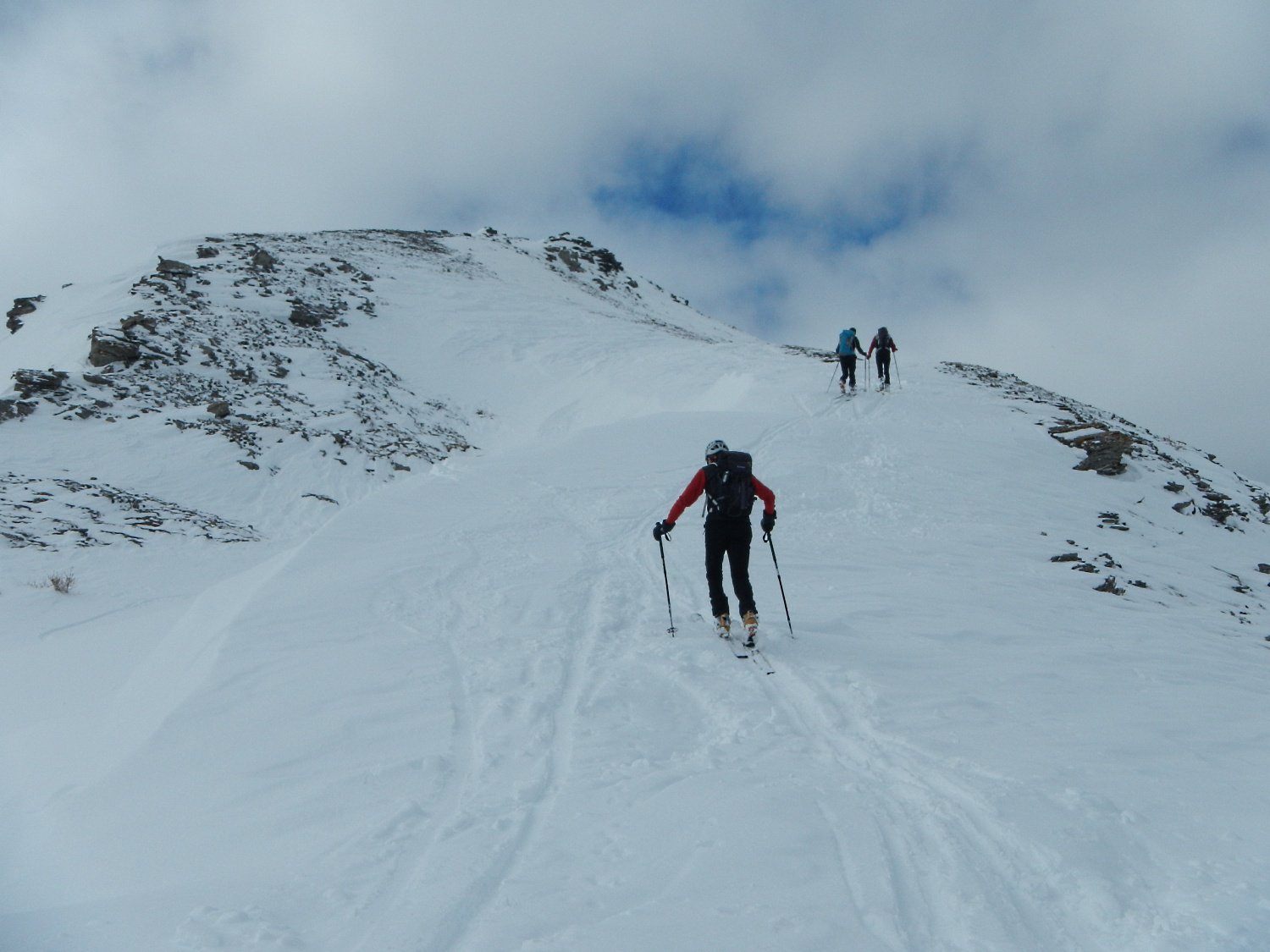
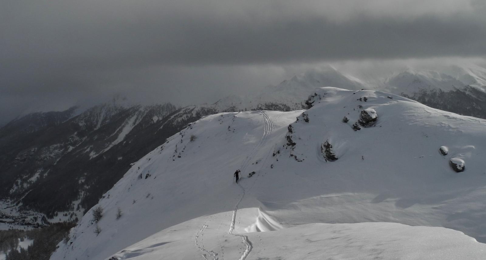
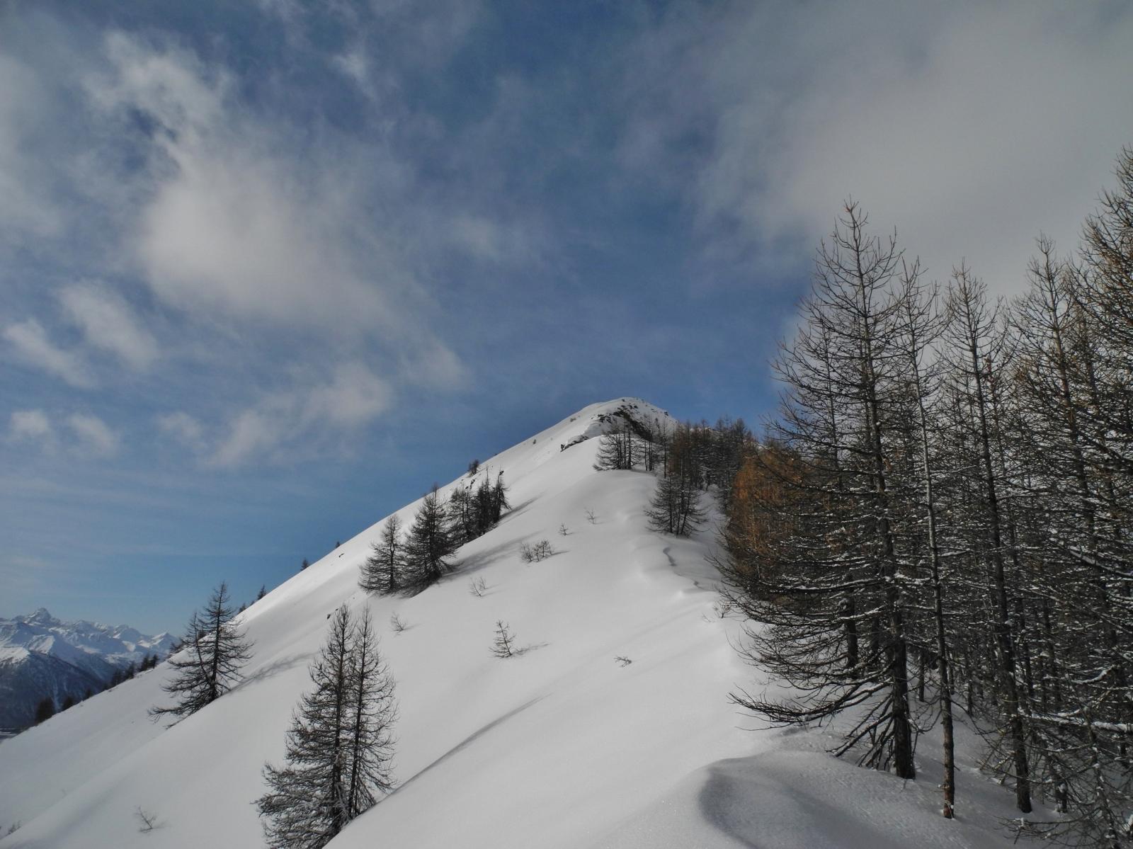
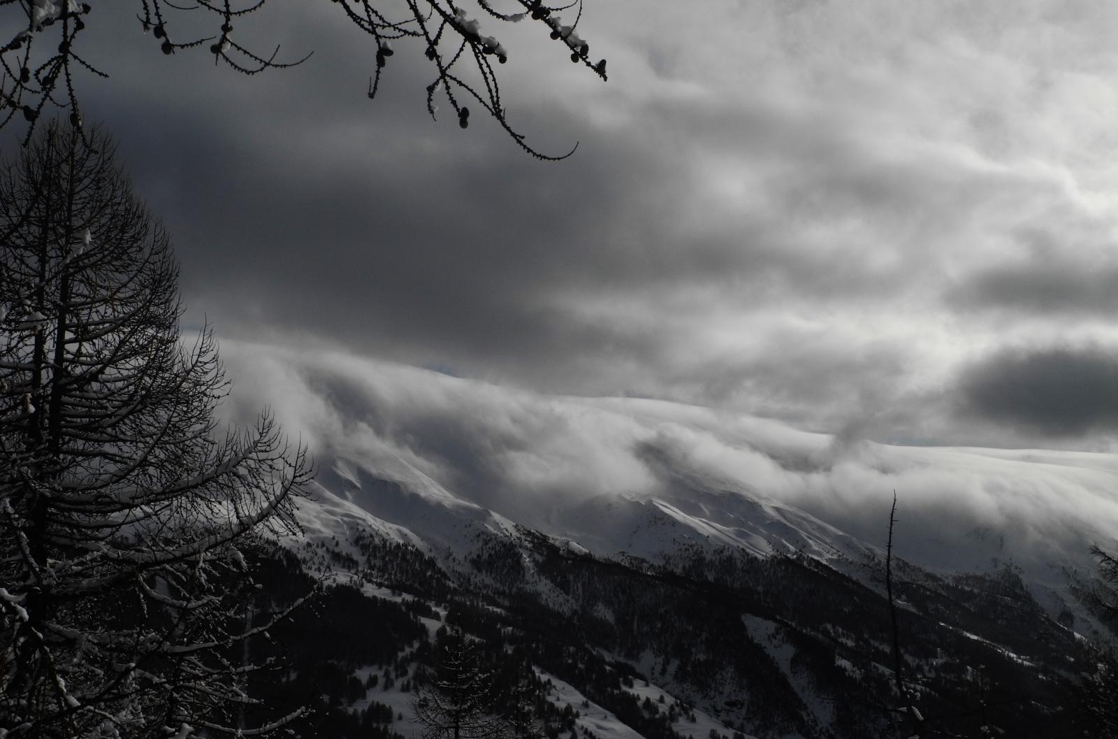
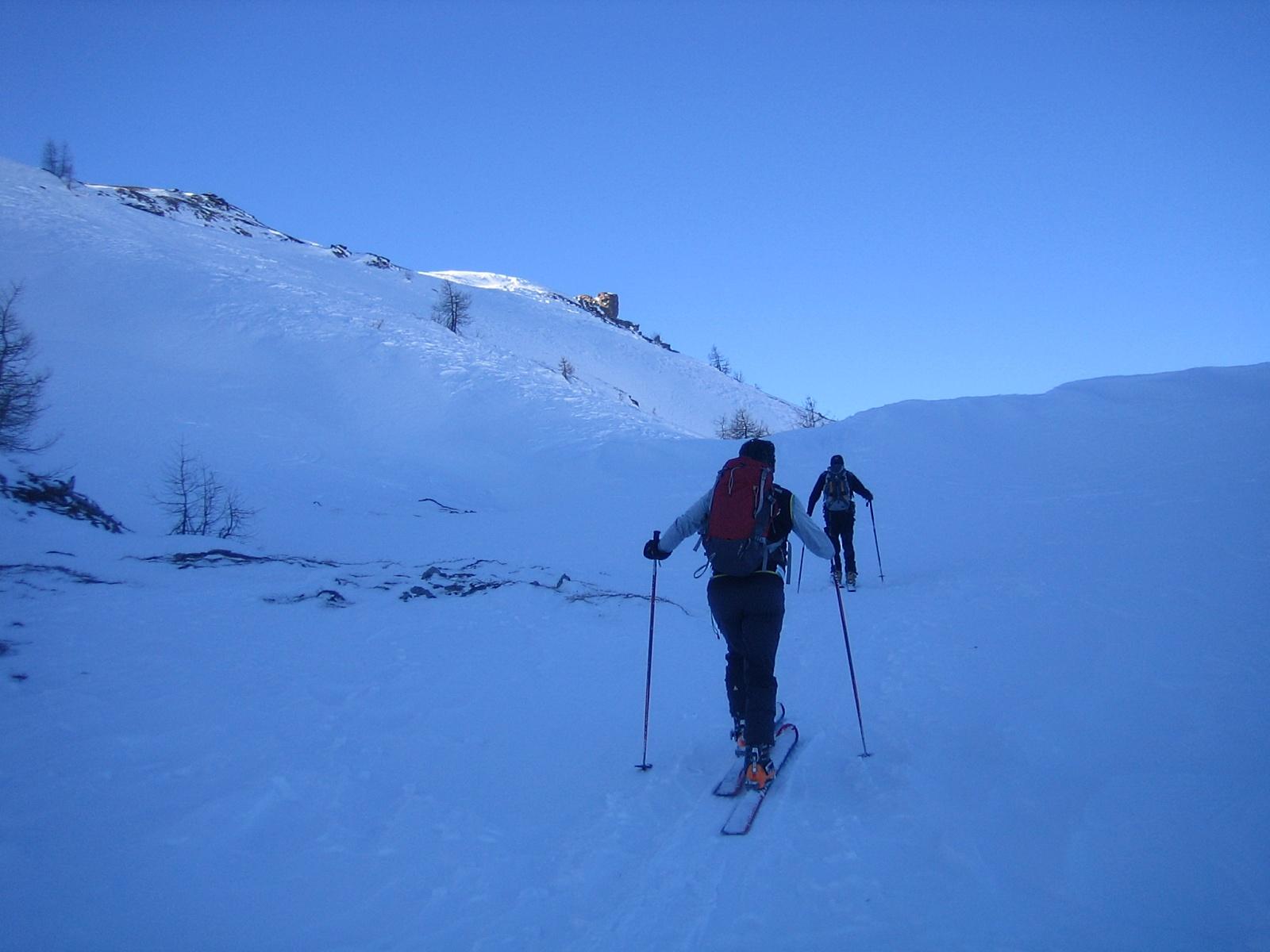
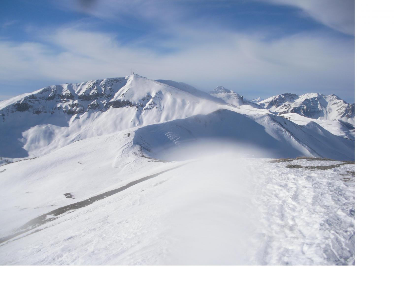
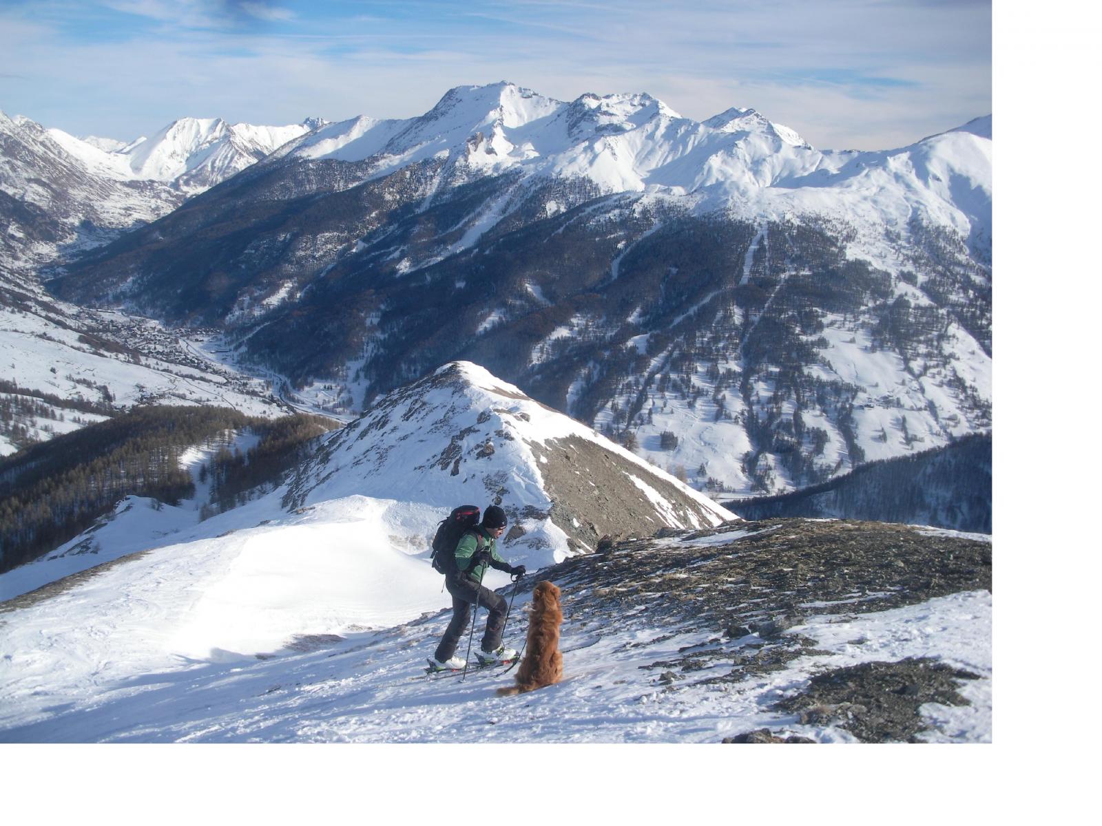
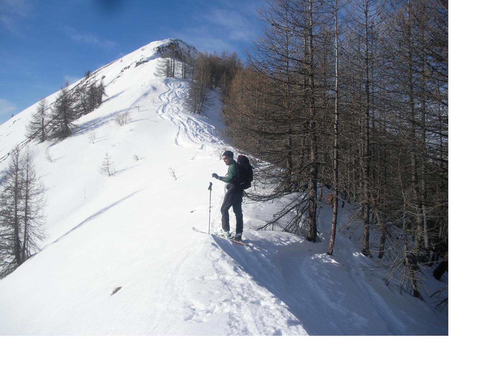
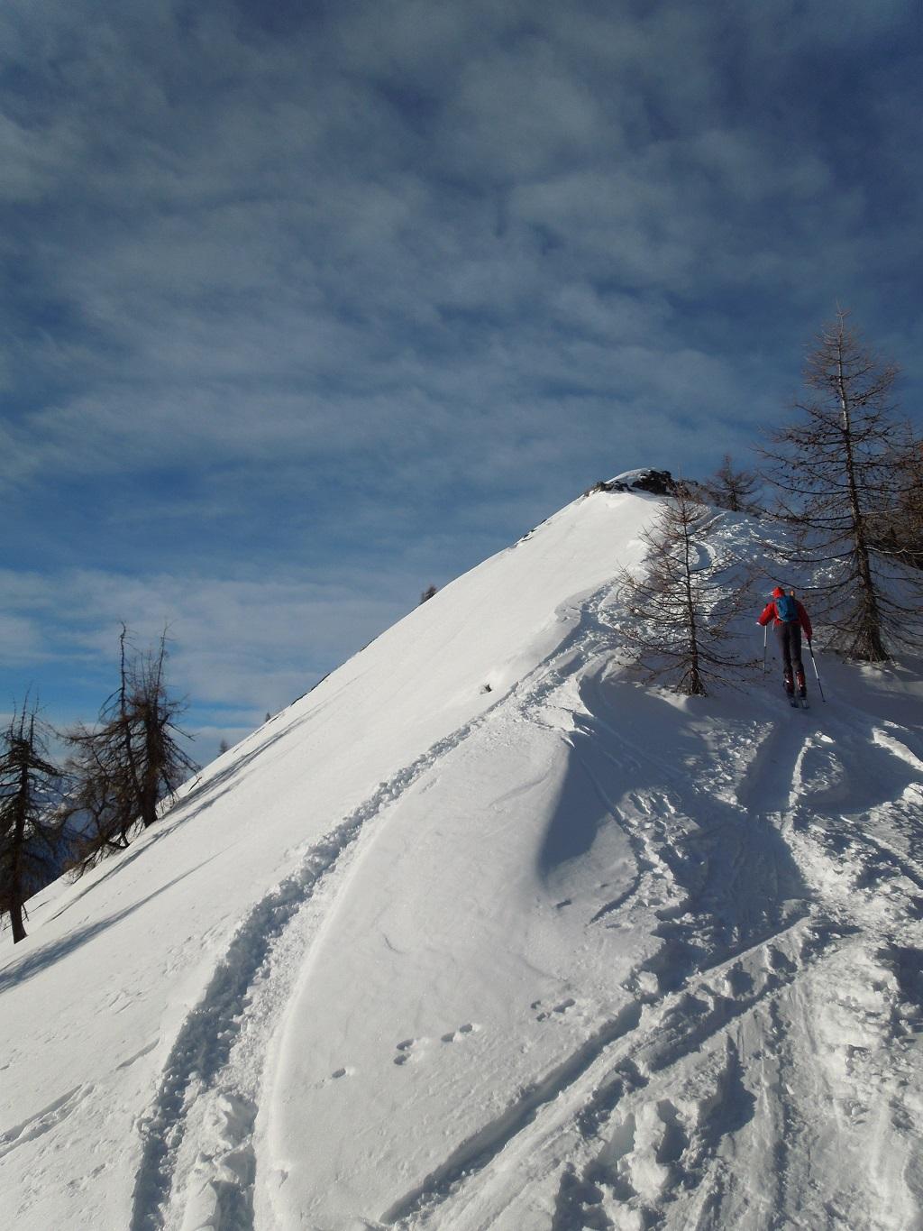
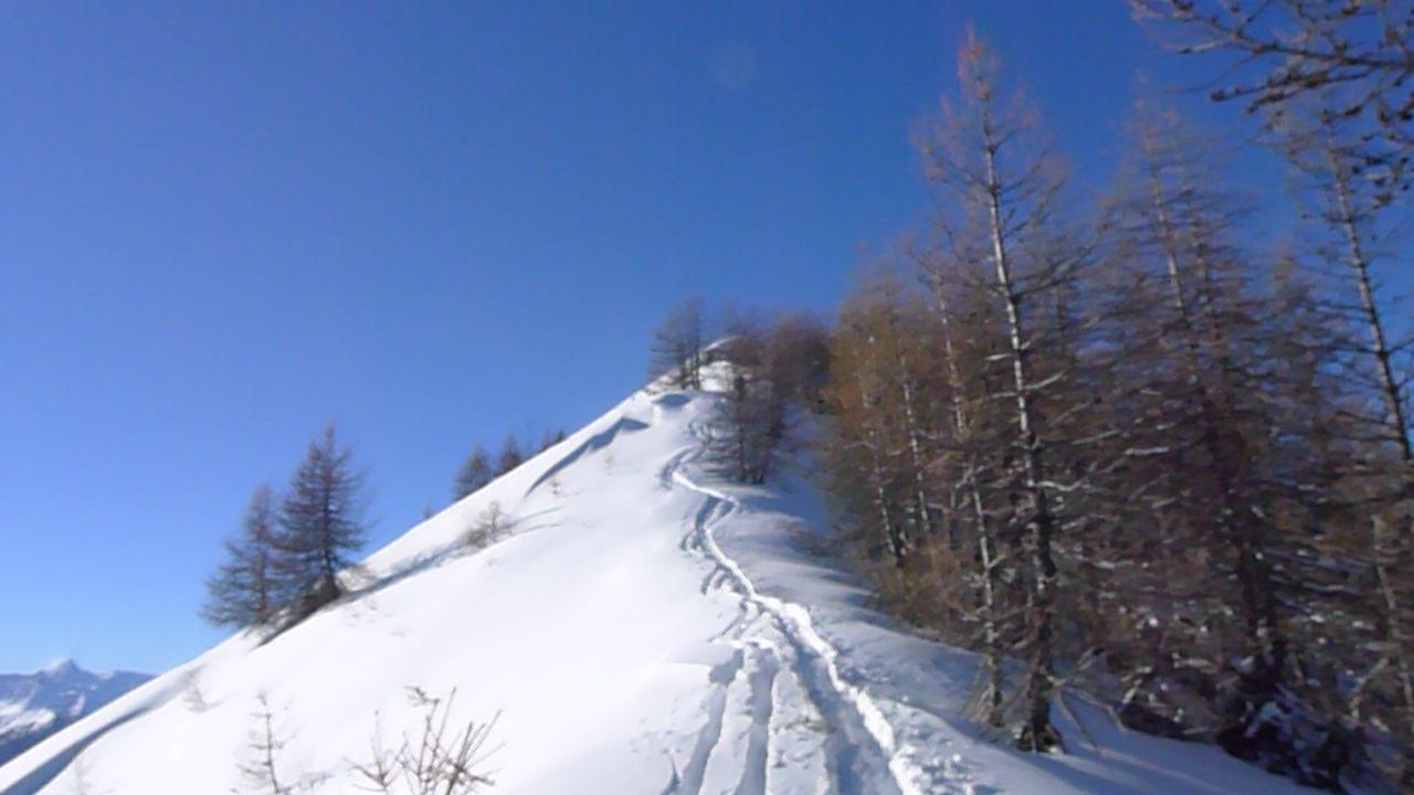
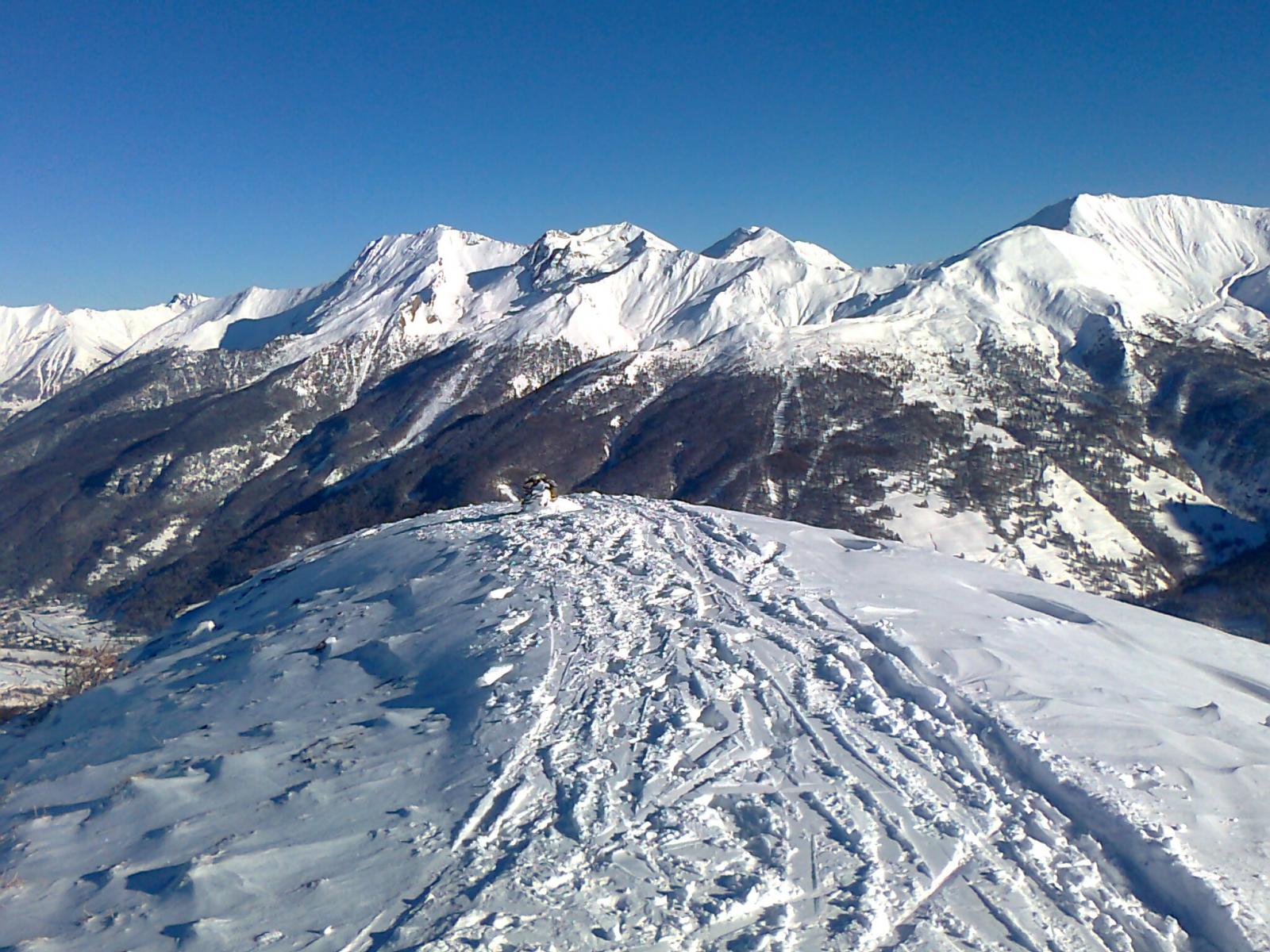
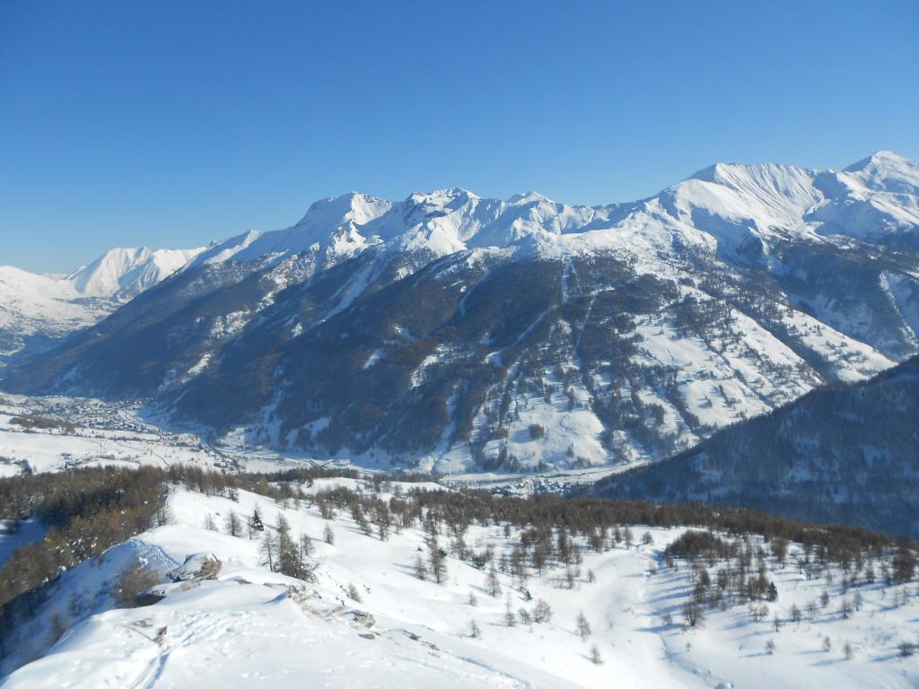
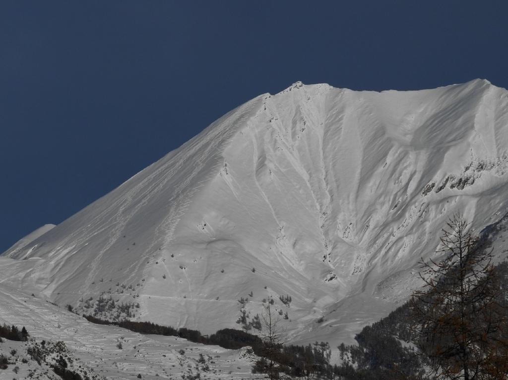
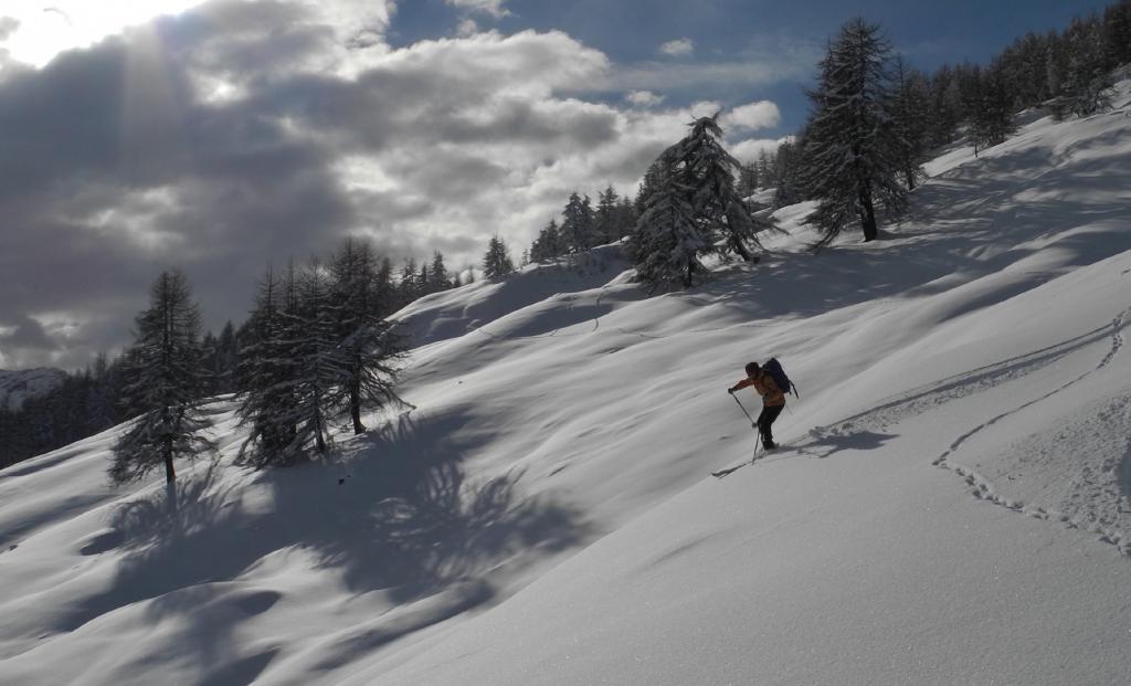
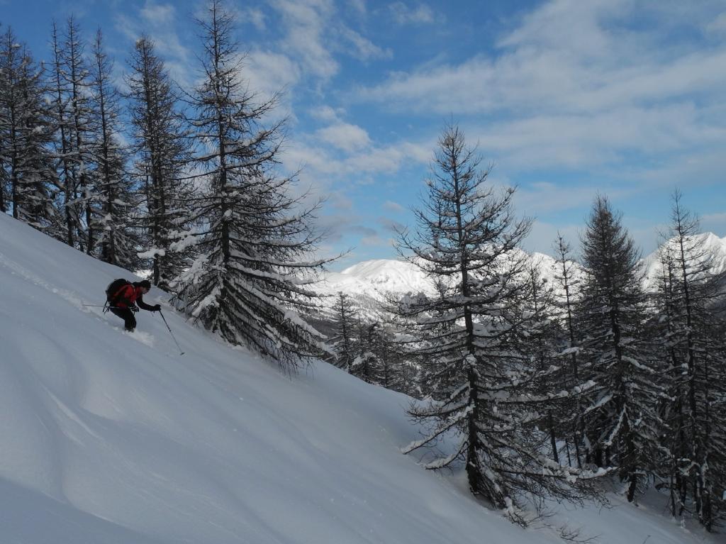
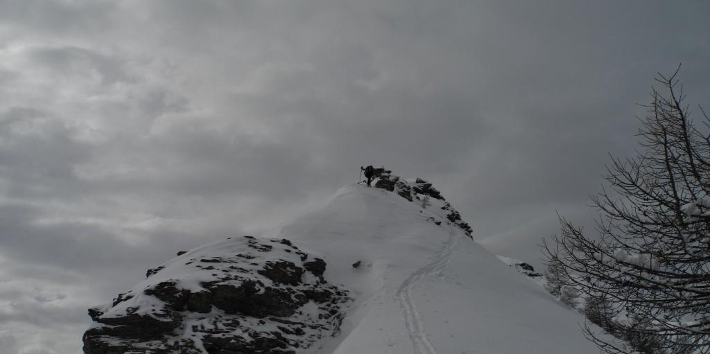
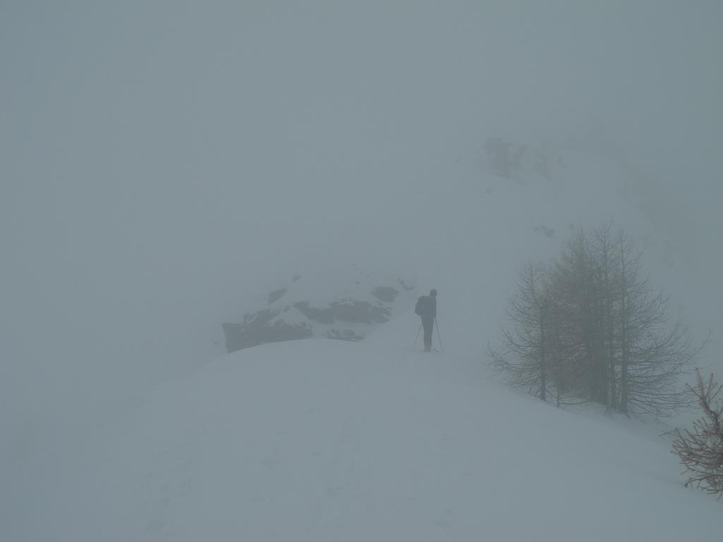
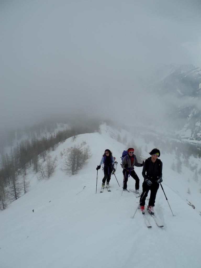
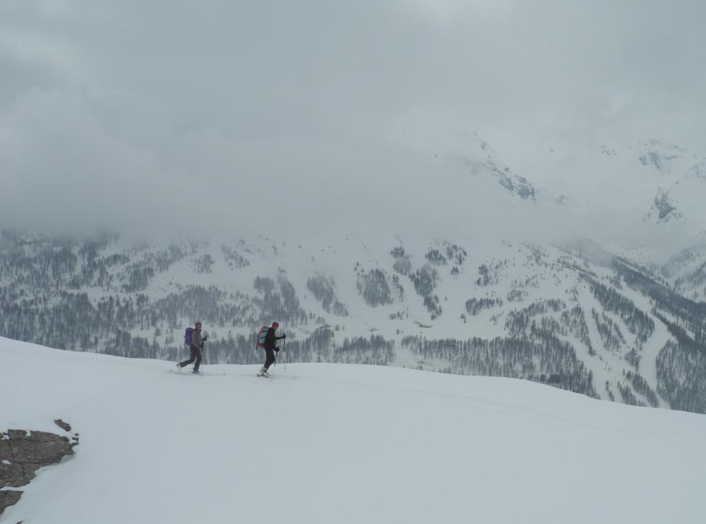
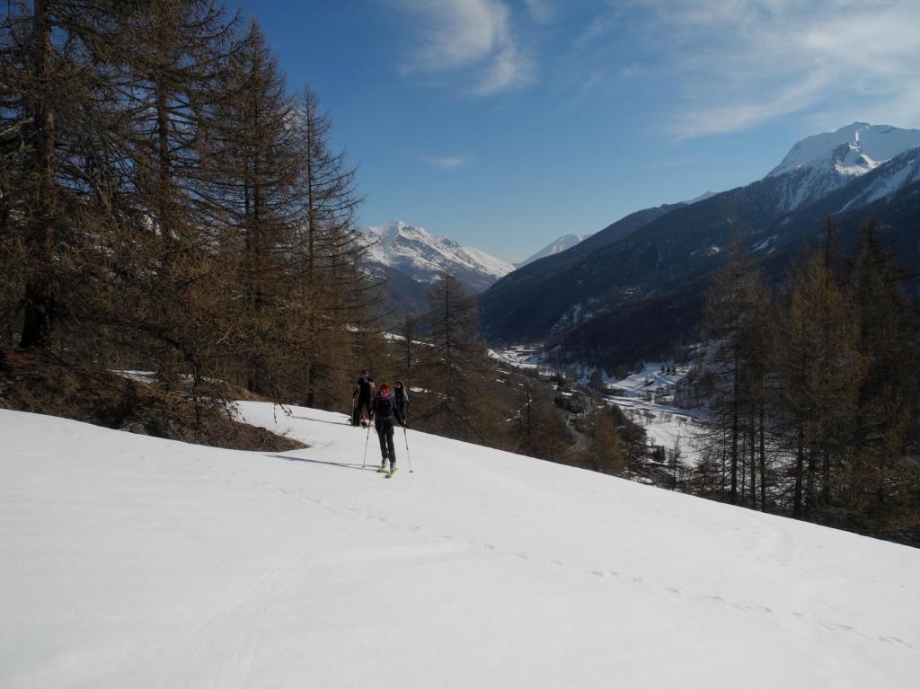
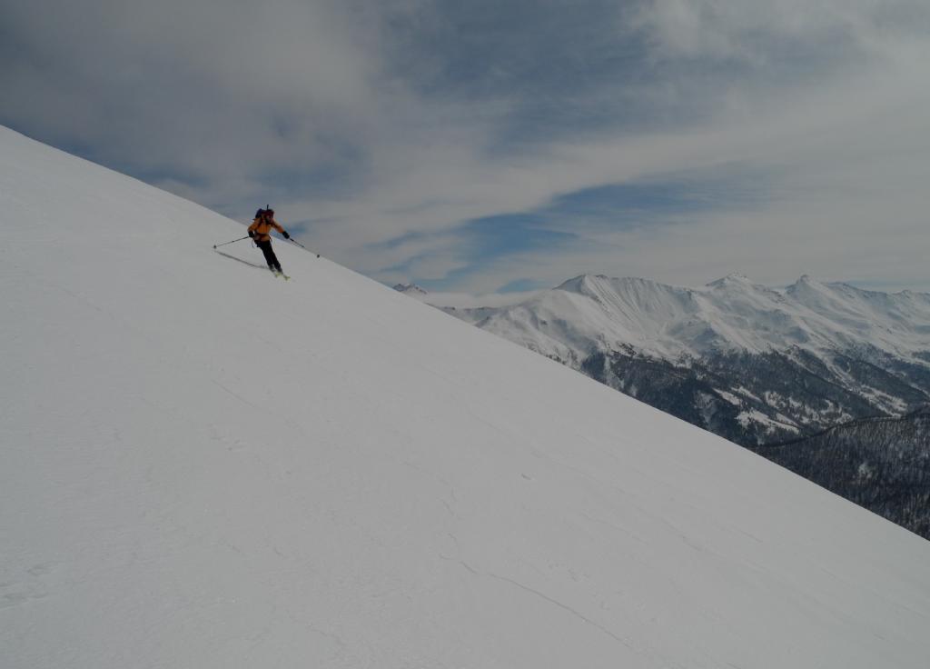
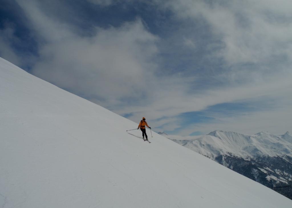
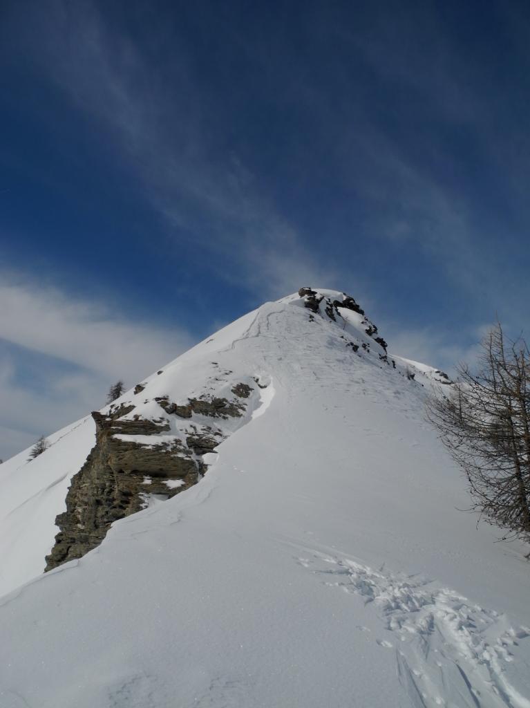
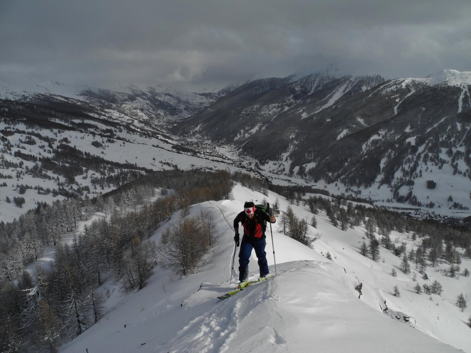
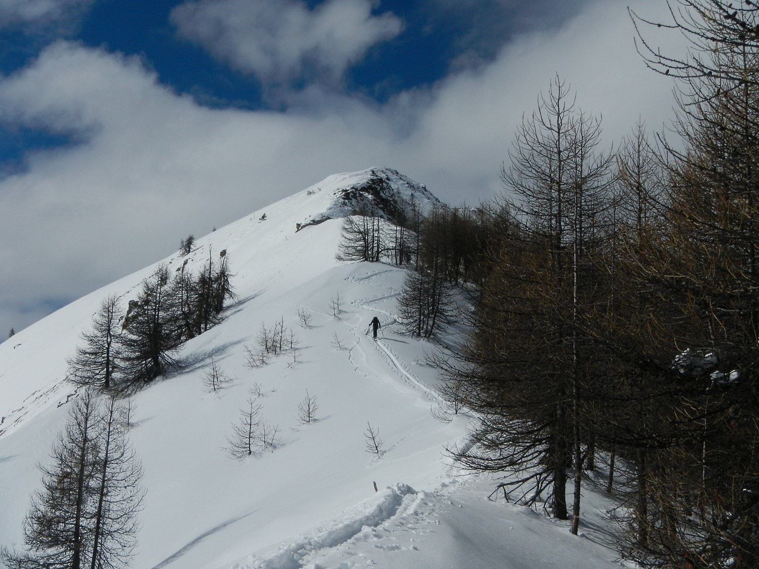
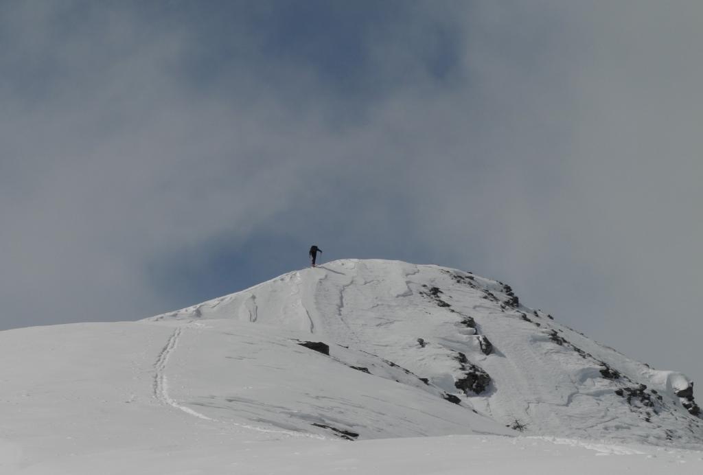
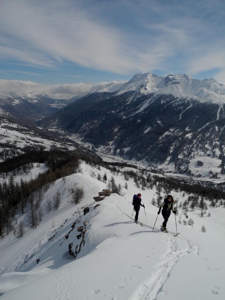
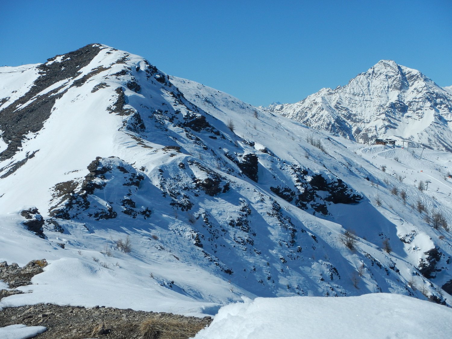
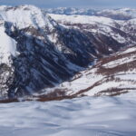
Alternativa al classico itinerario che entra nel valloncello finale, la costa Zalet porta con percorso aereo e nettamente più impegnativo dapprima ad un anticima, si scende brevemente ad un colletto e con ottimo innevamento si prosegue sempre sotto cresta (nord) sino alla cima; possibili cornici, e placche a vento, la dorsale è molto esposta al vento.
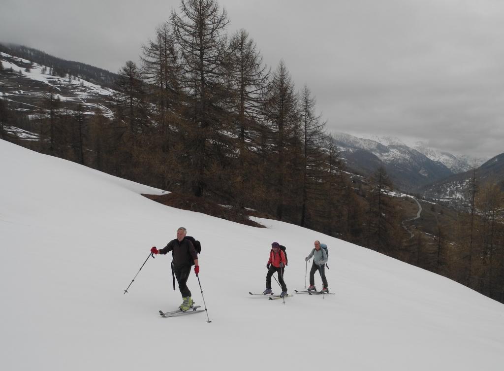
Avvicinamento
Si posteggia l'auto poco oltre la rotonda del bivio per la Val Troncea, lungo la statale in direzione Sestriere.
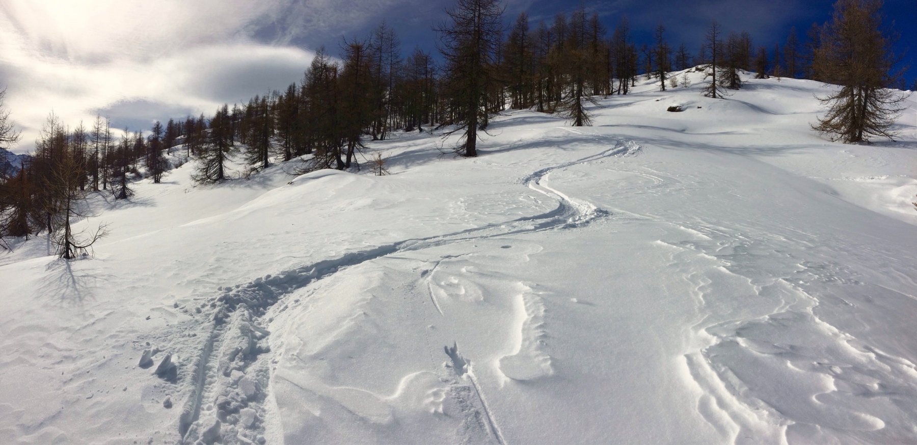
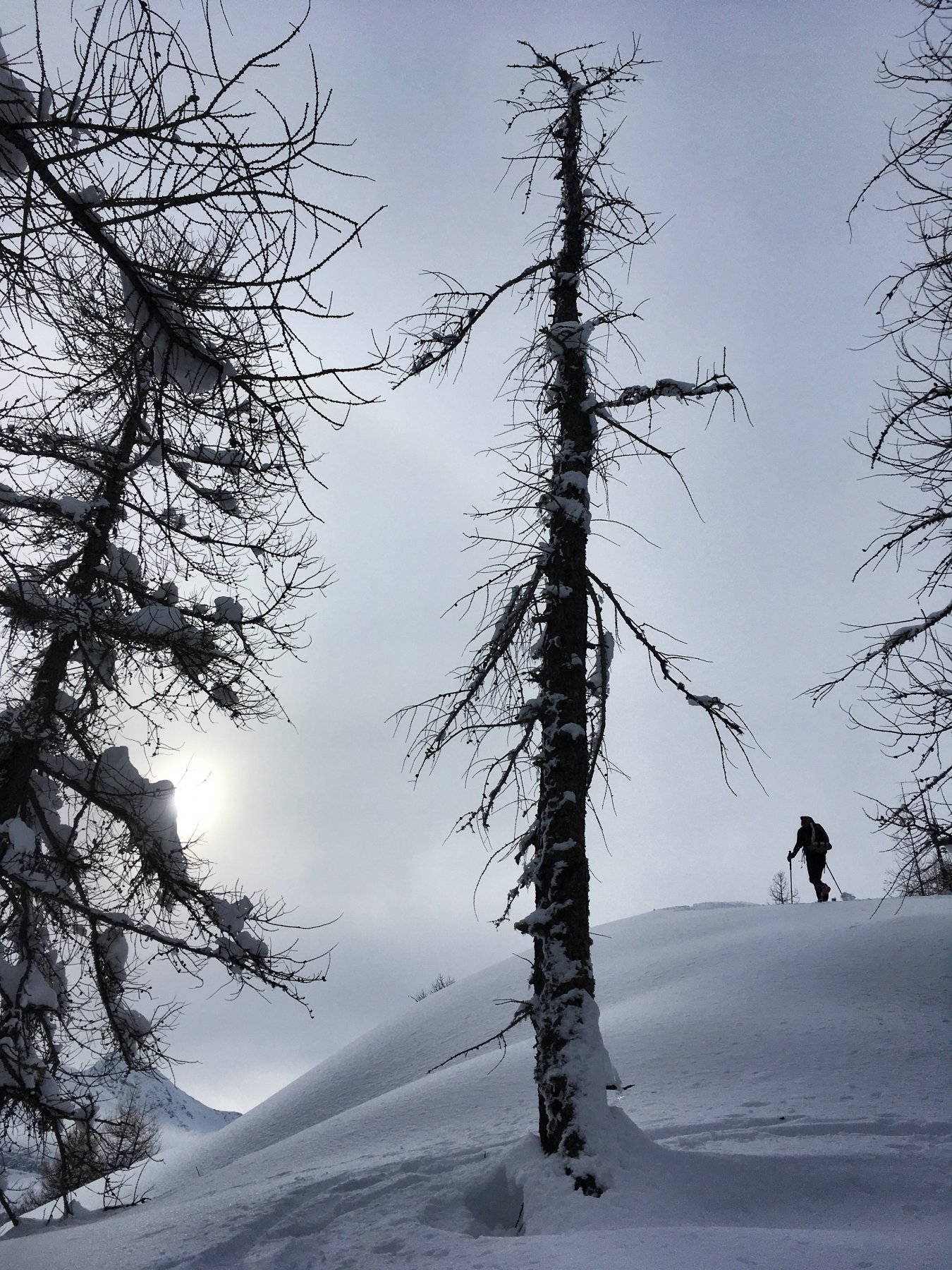
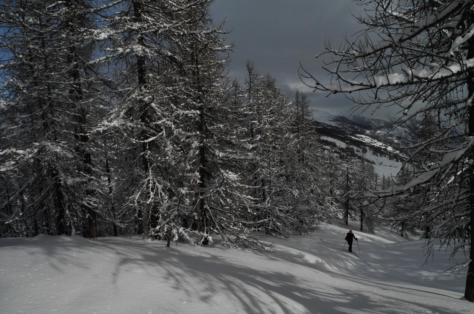
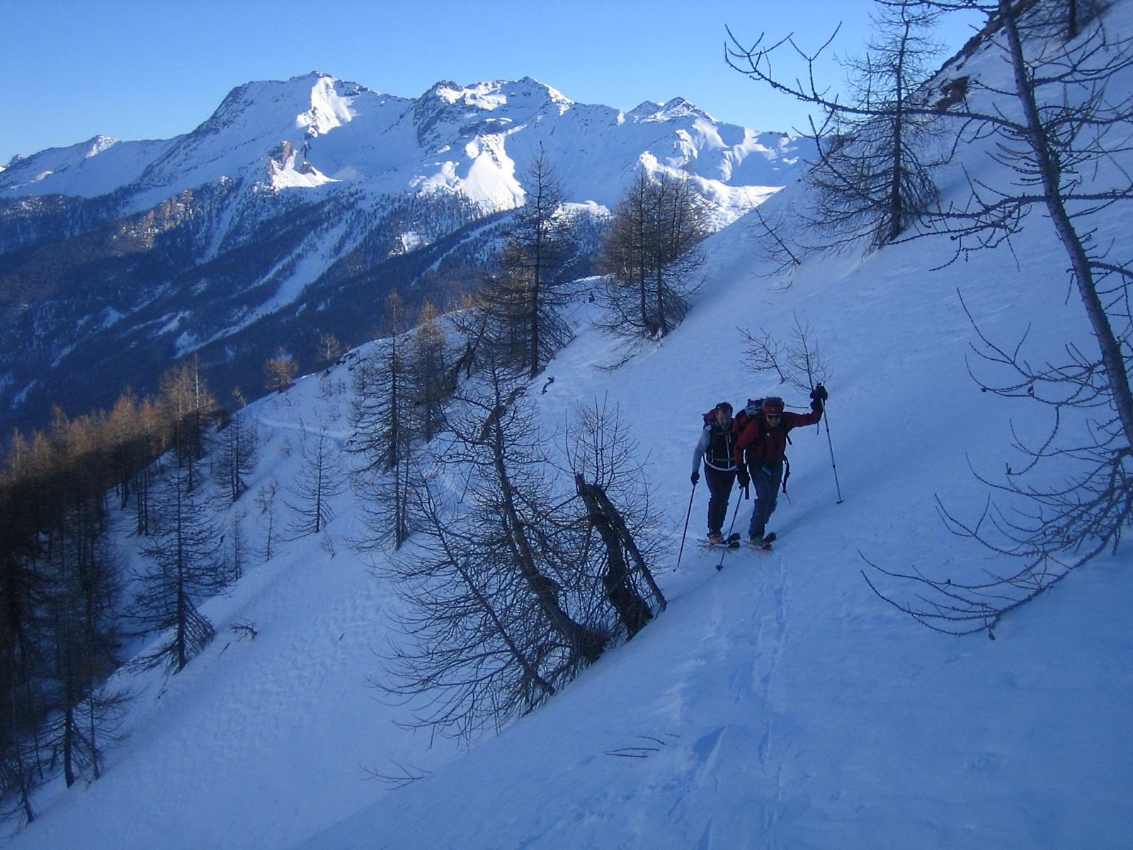
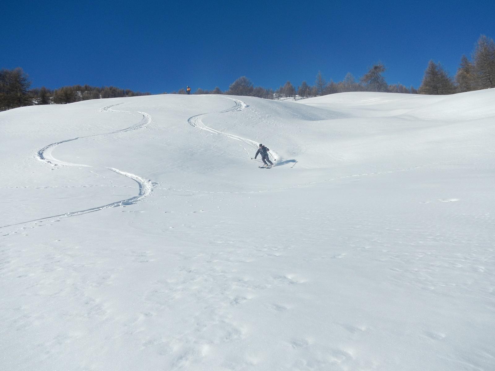
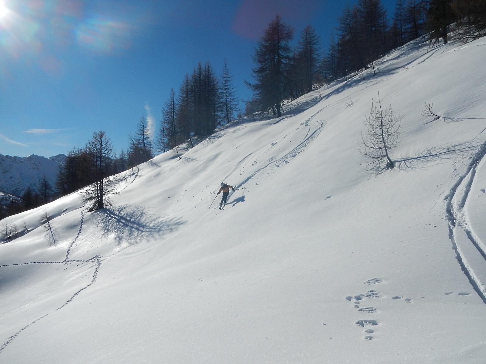
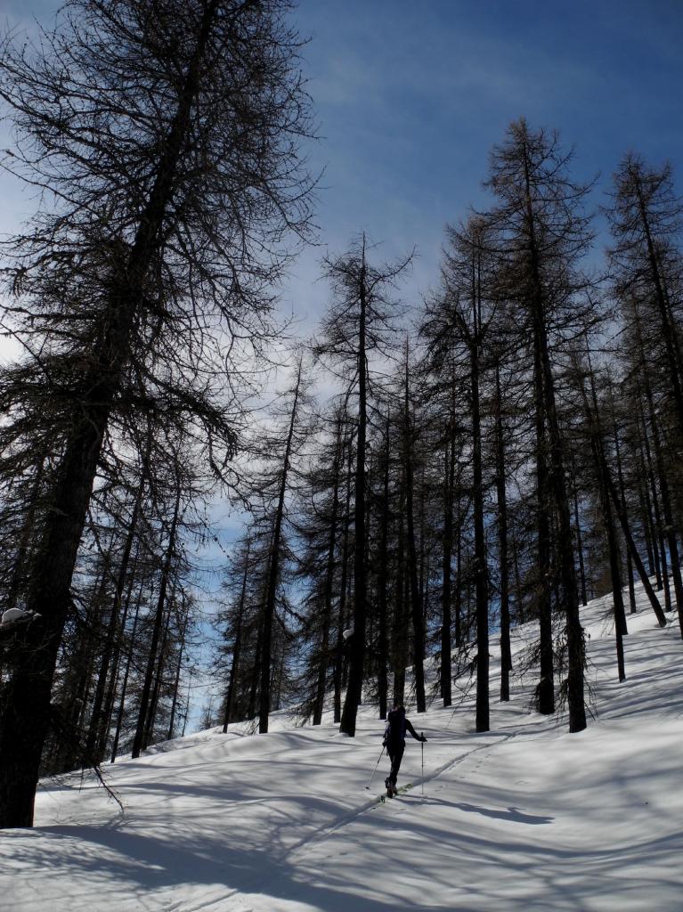
Descrizione
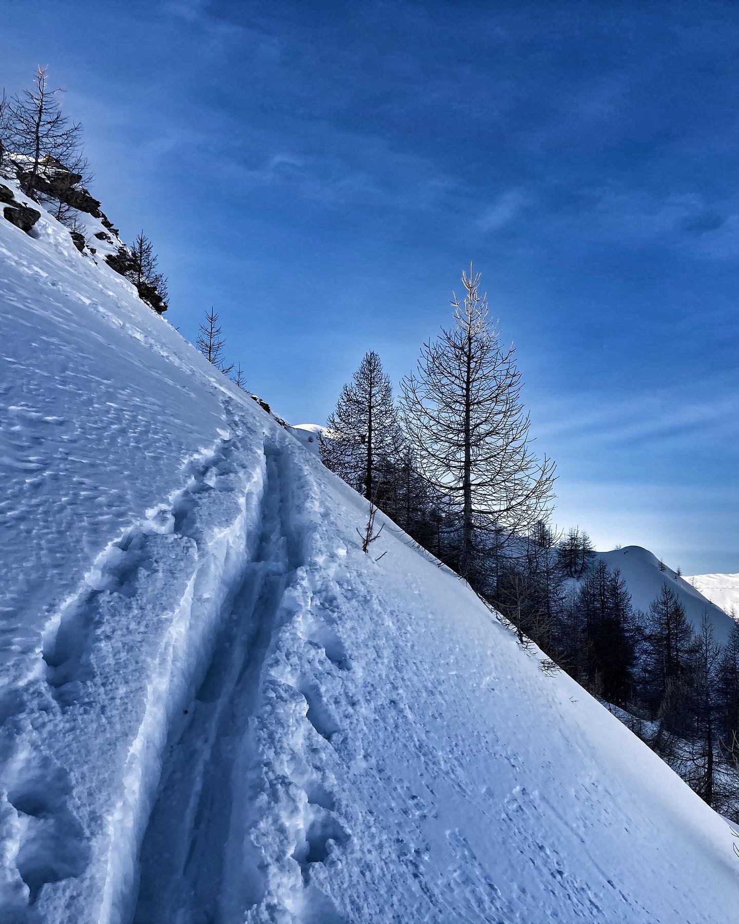
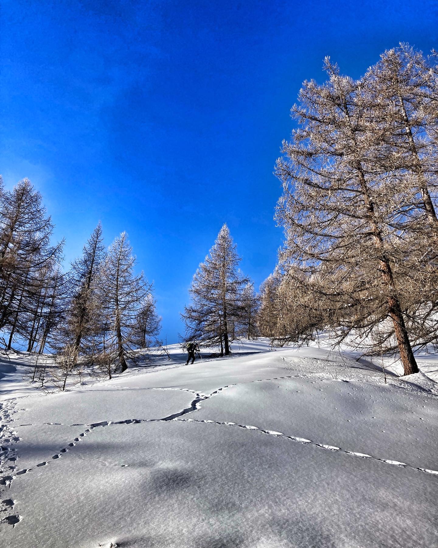
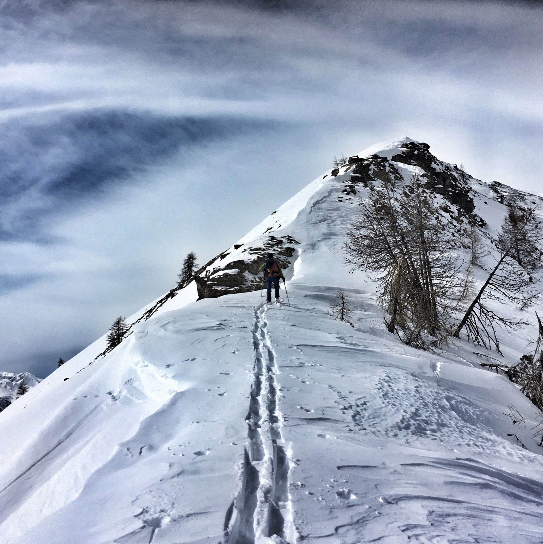
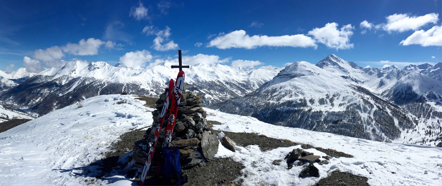
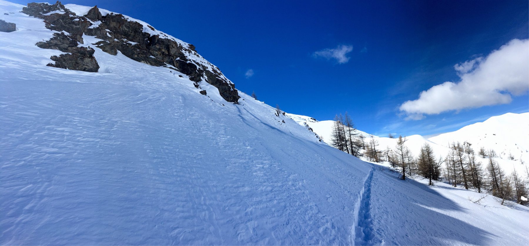
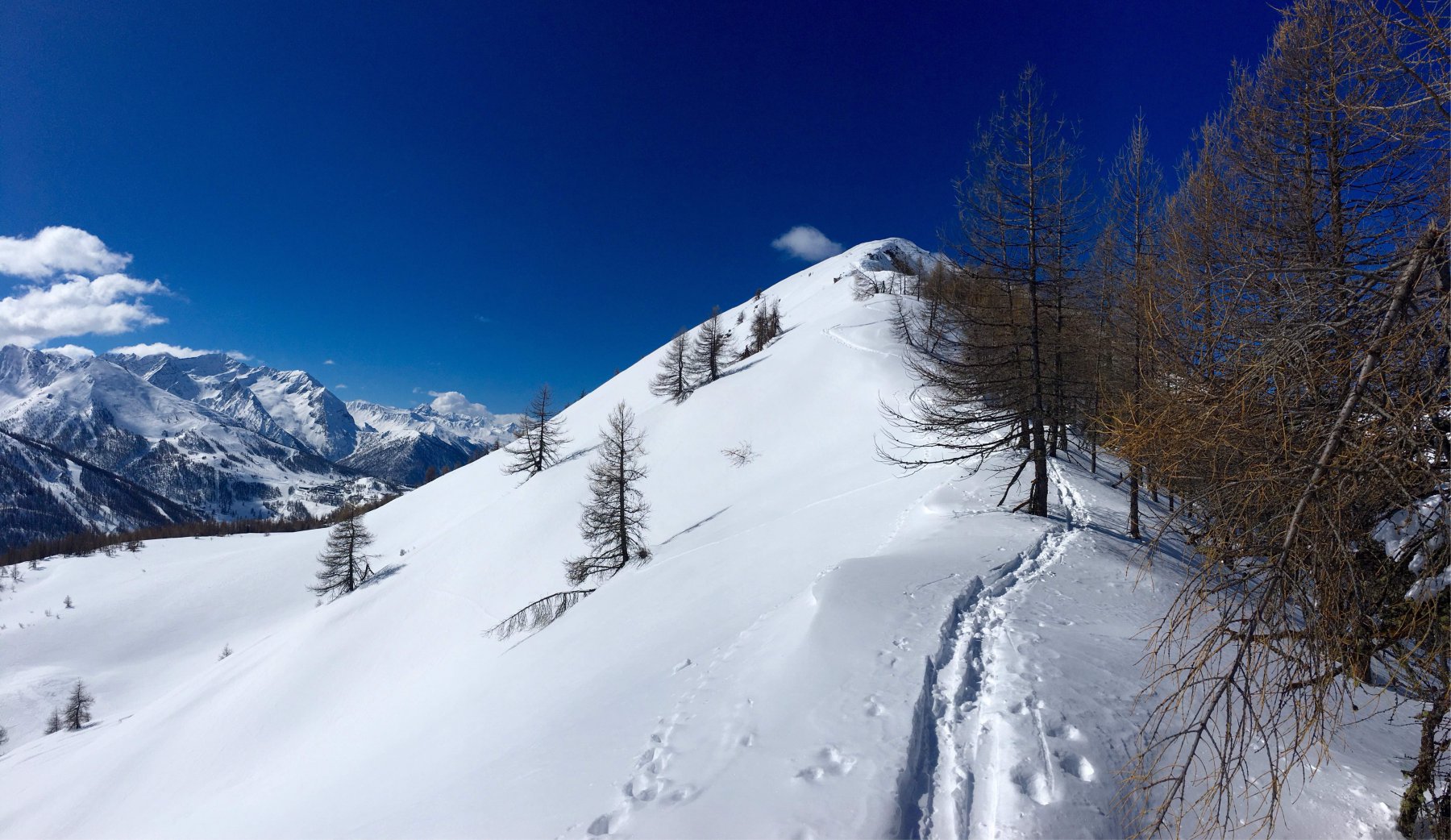
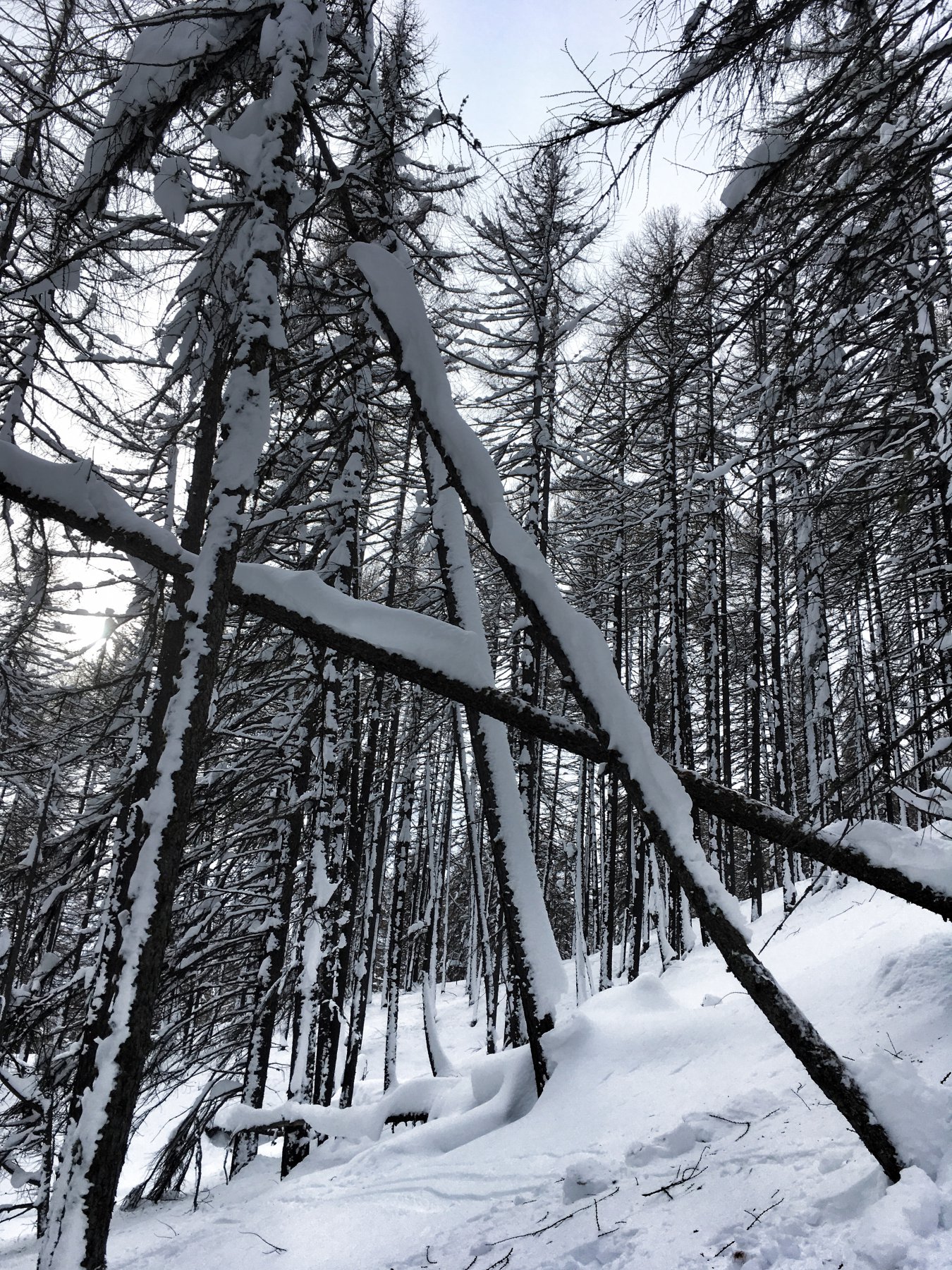
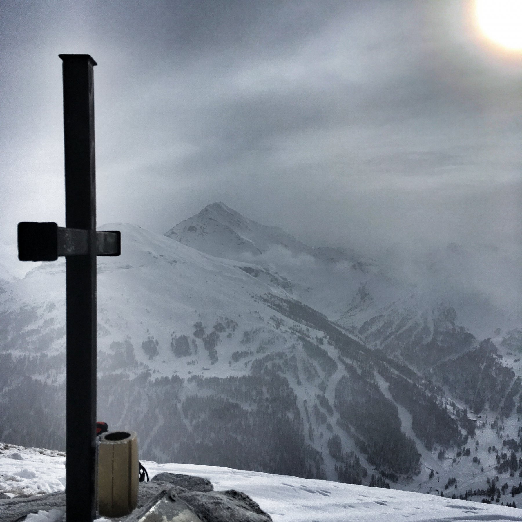
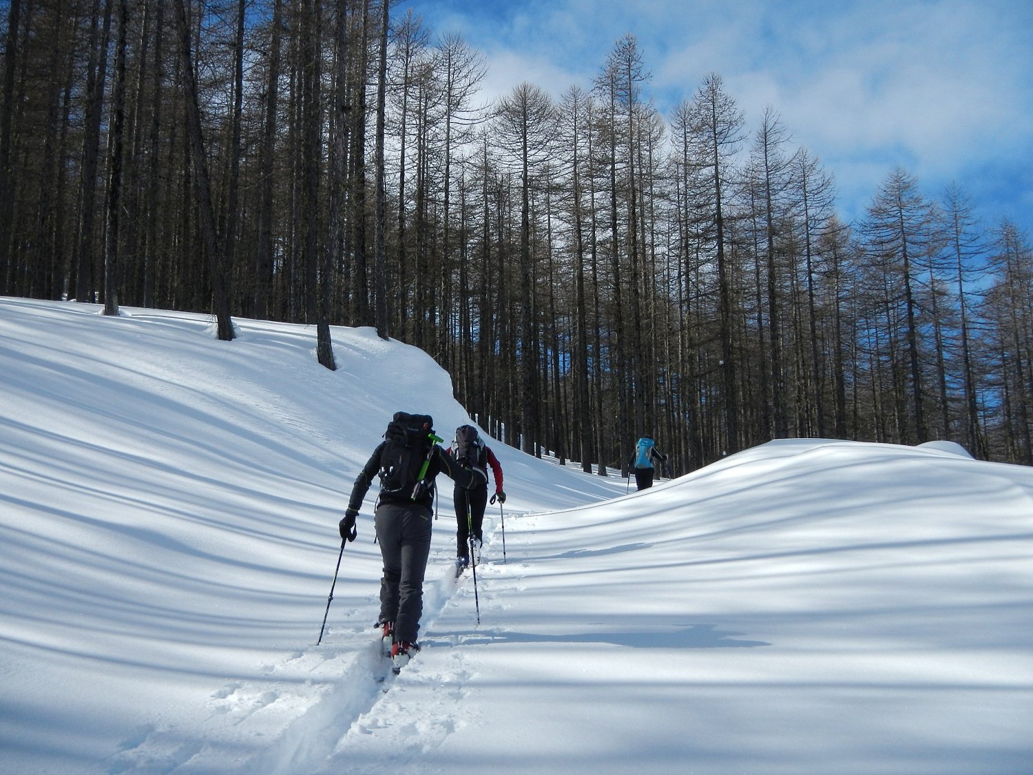
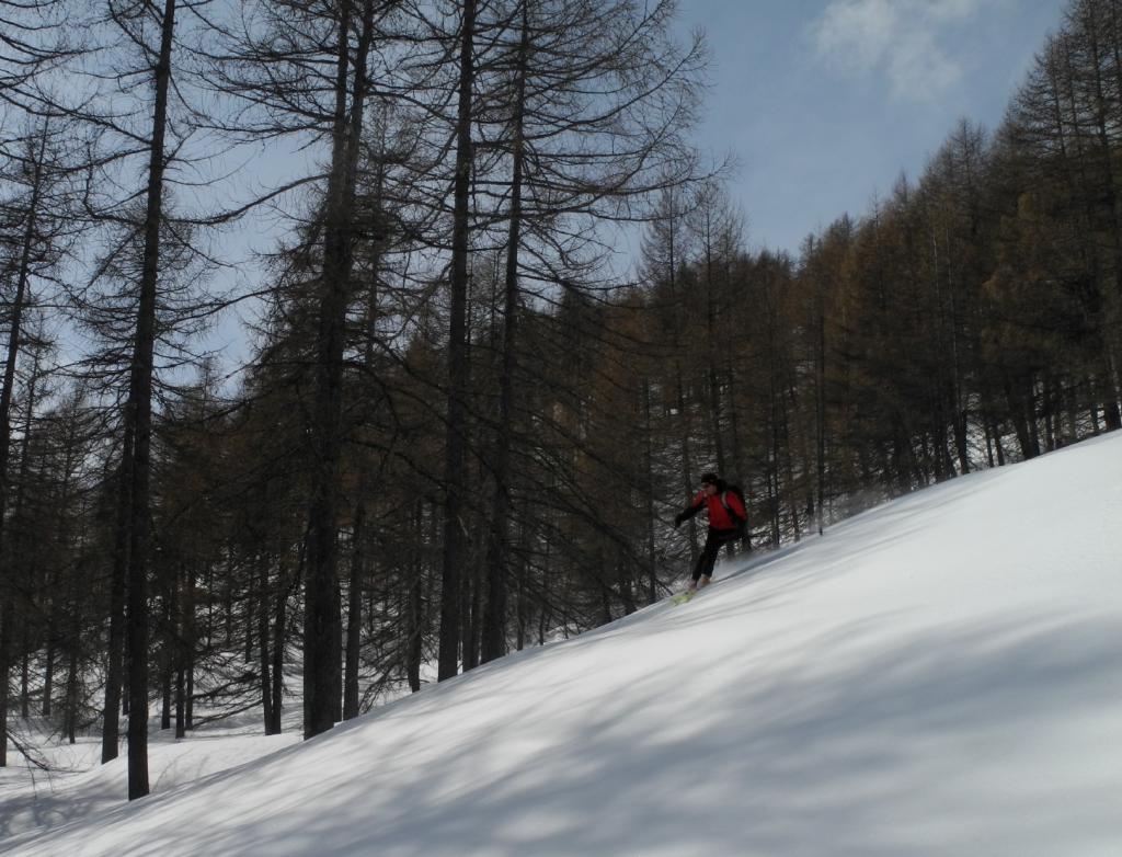
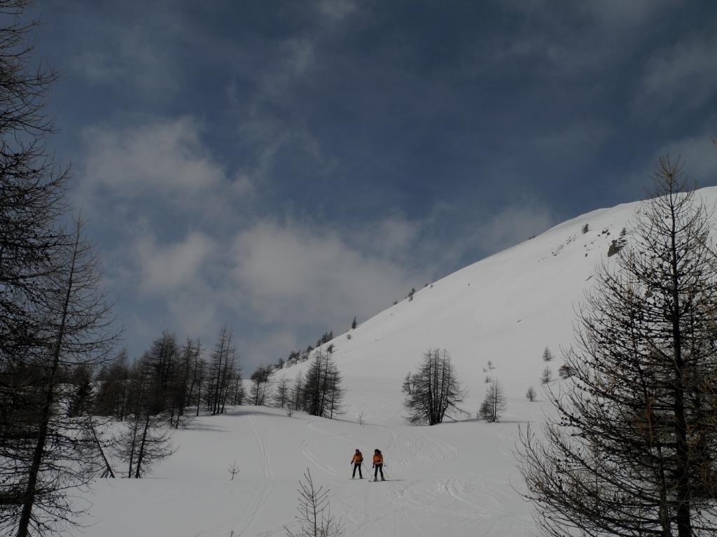
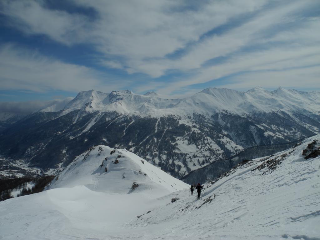
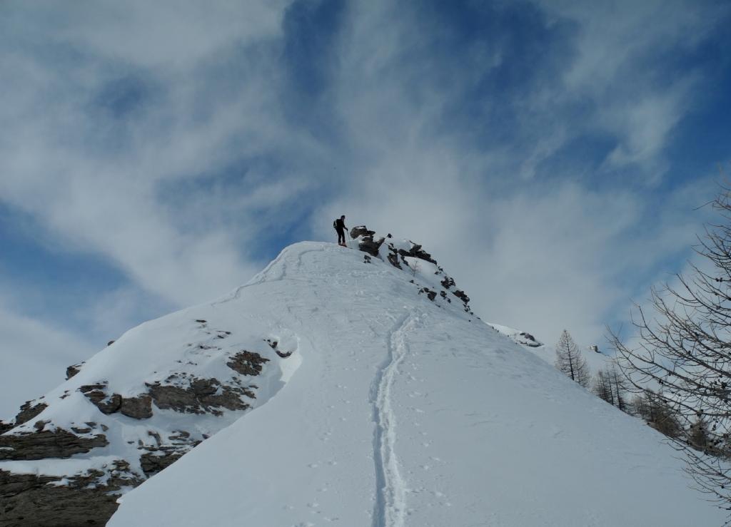
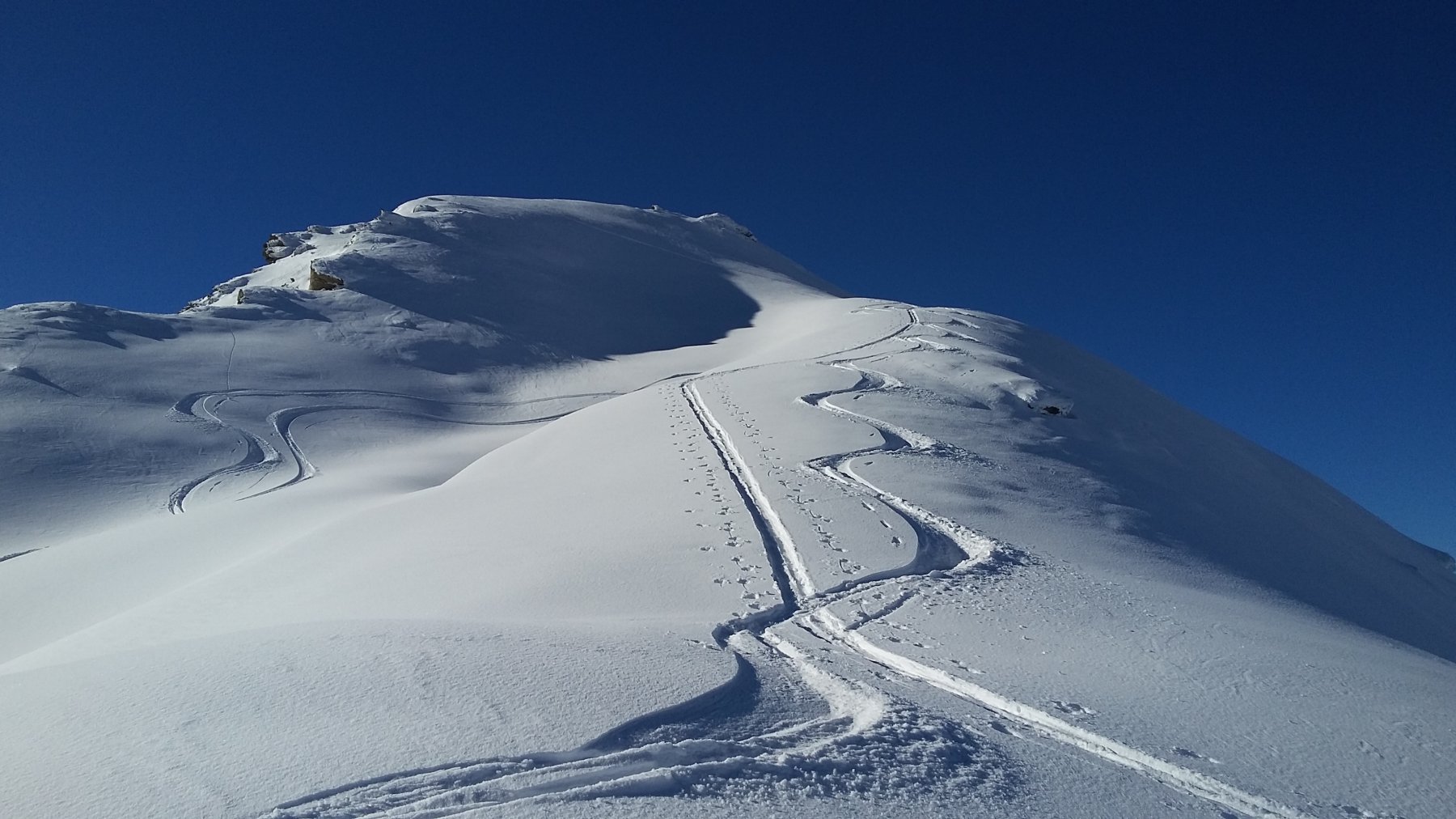
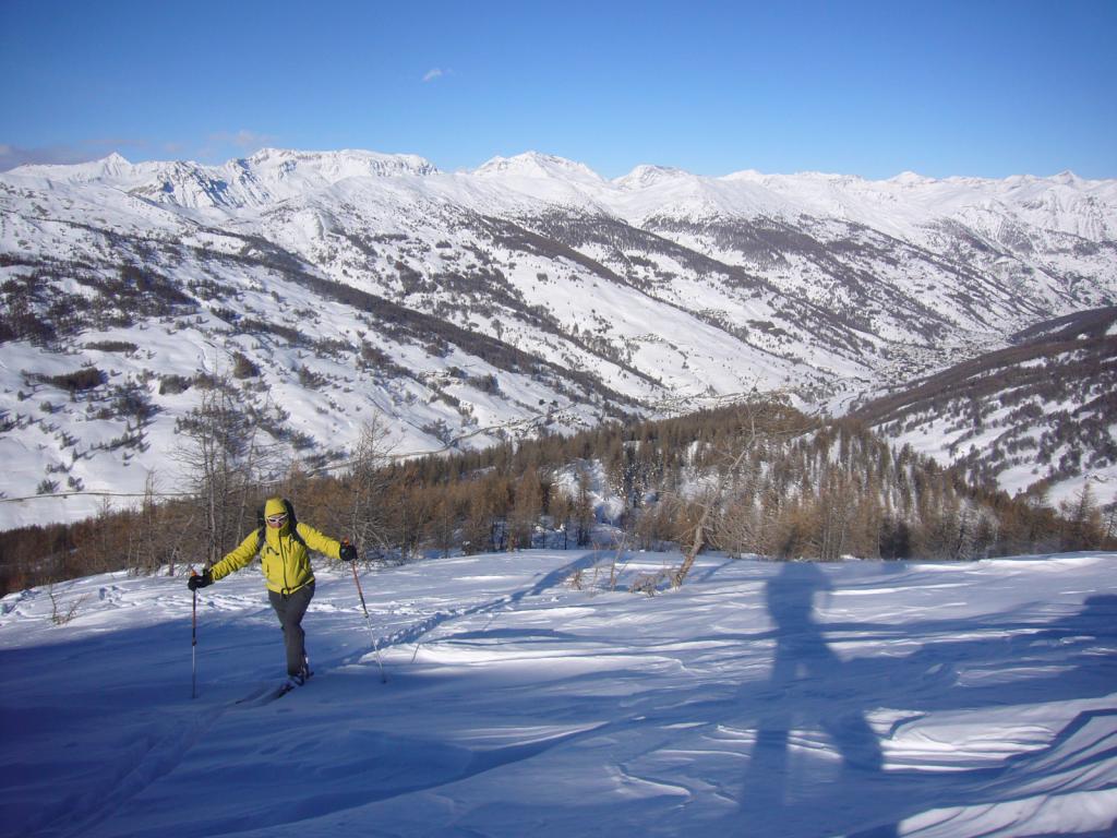
Si sale nel bosco di larici in direzione Ovest senza percorso obbligato sino al collettino, dove a destra ci si immette nel caratteristico valloncello sotto la cresta (quota 2250 m). Si segue poi integralmente la cresta nevosa e aerea in più punti (possibili saltini rocciosi). Segue un tratto più pianeggiante e poi una nuova impennata. Si raggiunge l’anticima a 2420 m, si scende ad un colletto, dove a destra ci si può collegare agli ultimi cento metri finali della salita classica, oppure proseguire per cresta stando appena a destra del filo (nord)
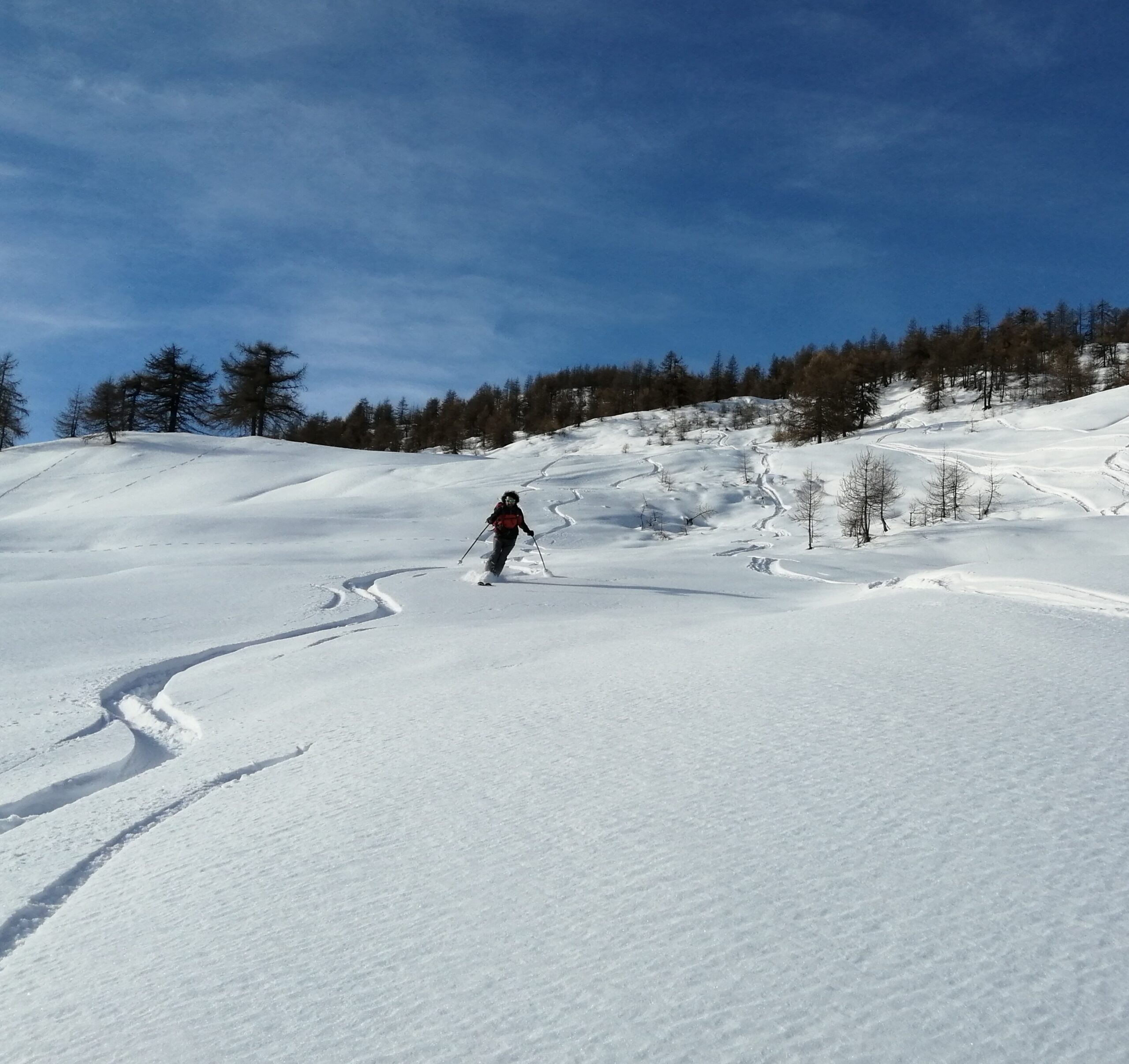
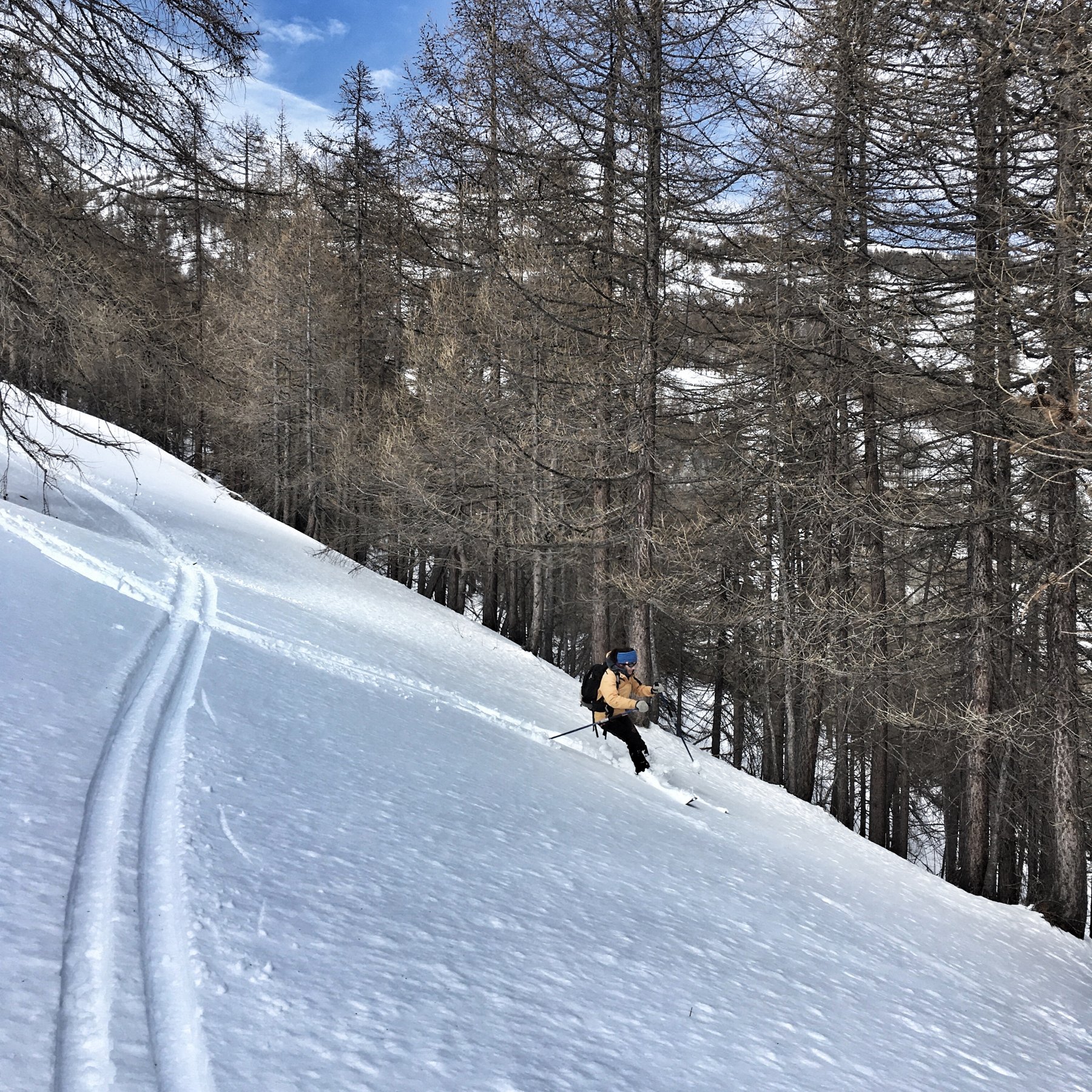
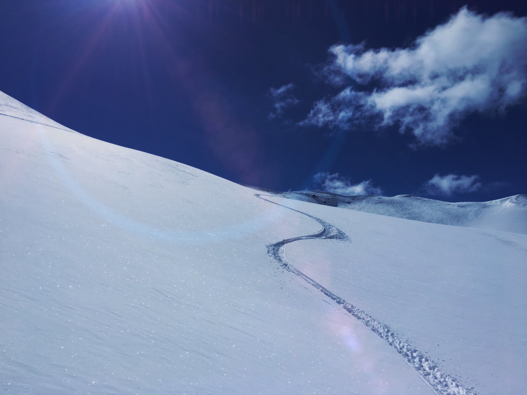
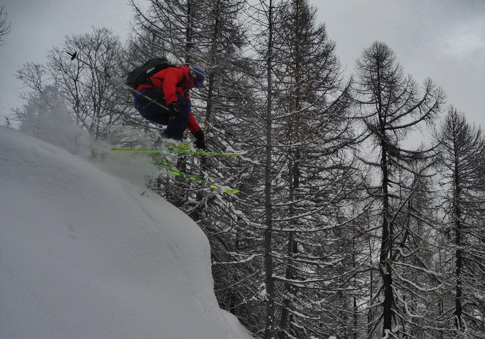
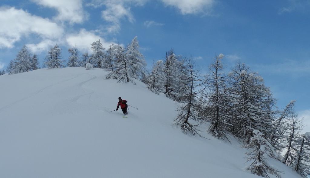
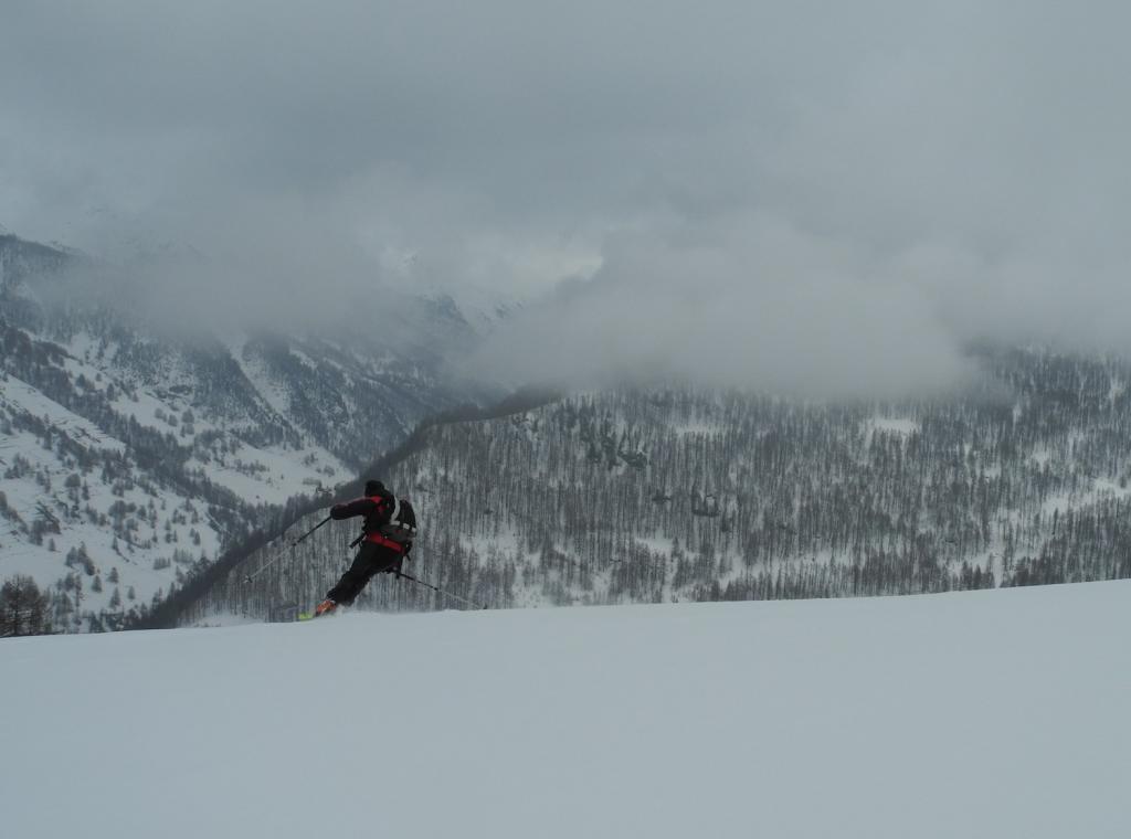
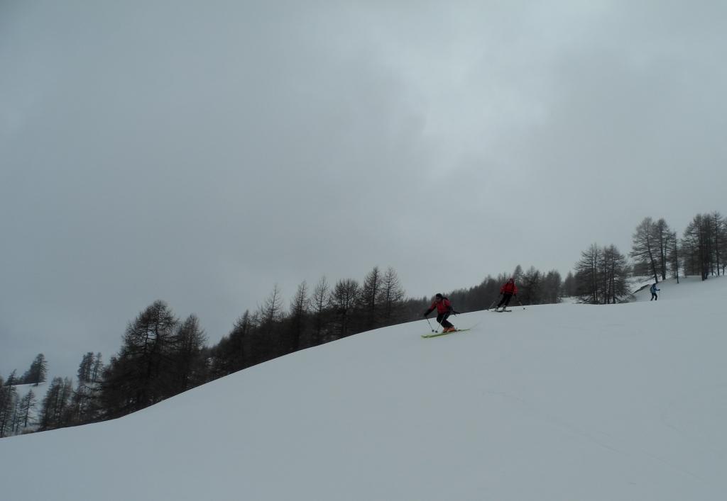
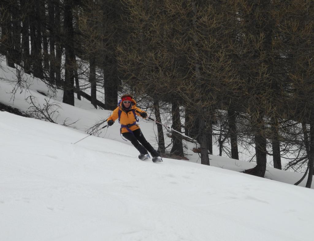
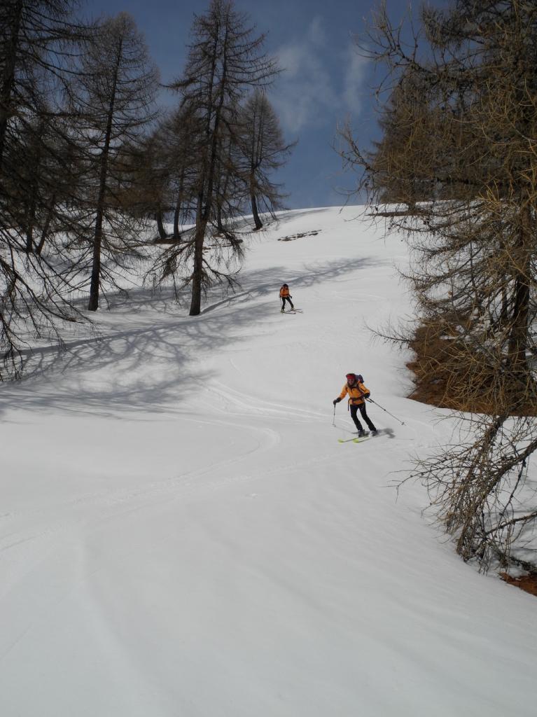
Discese possibili:
1. lungo il classico valloncello a nord (MS)
2. direttamente verso sud con neve trasformata (BS) su pendenze anche ripide
- Cartografia:
- Fraternali 1:25000 n.2 Alta Valle di Susa Alta Val Chisone
Nelle vicinanze Mappa
Itinerari
12/03/2025 TO, Pragelato D+ 926 m MS Nord-Est
Aigle (Pitre de l’) da Traverses
 50m
50m
13/03/2025 TO, Pragelato D+ 750 m MS Nord-Est
Aigle (Pitre de l’) da Villardamond
 450m
450m
07/04/2025 TO, Pragelato D+ 691 m MS Sud
Nera (Rocca) da Villardamond
 450m
450m
09/02/2025 TO, Pragelato D+ 750 m MS Nord-Est
Treceira (Costa) da Villardamond
 450m
450m
28/12/2022 TO, Pragelato D+ 760 m BS Sud
Triplex (Monte) da Villardamond per il versante sud
 450m
450m
20/03/2025 TO, Pragelato D+ 720 m MS Sud-Est
Moncrons (Punta di) da Allevé
 1.2Km
1.2Km
25/01/2025 TO, Pragelato D+ 1214 m BS Nord-Est
Banchetta (Monte) dalla Val Troncea per Serre Bail e Costa Miandetta
 1.8Km
1.8Km
21/01/2017 TO, Pragelato D+ 1500 m OS Tutte
Grand Miuls (Monte) dal Morefreddo
1.8Km
25/04/2025 TO, Pragelato D+ 1156 m BS Nord-Ovest
Pelato (Monte) da Pattemouche
 1.8Km
1.8Km
16/02/2025 TO, Pragelato D+ 1820 m BS Nord
Fea Nera da Pattemouche, traversata a Fenestrelle per il Colle dell’Albergian
 1.8Km
1.8Km
Servizi
450m
450m
Al Mulino Ristorante
Pragelato
2.2Km
Mulino di Laval Rifugio
Pragelato
3.2Km
Casa degli Escartons Alex Berton B&B
Pragelato
3.3Km
Casa Alpina Rifugio
Pragelato
3.3Km
Passet Ristorante
Pragelato
3.4Km
Refugium – ex. Rif. Belotte Rifugio
Pragelato
4.6Km
L’itialette Ristorante
Pragelato
6.1Km
1898 Ristorante
Soucheres-basses
6.2Km