3Km
3Km
Note
 2.1Km
2.1Km
2.1Km
2.1Km
2.1Km
2.1Km
2.1Km
2.1Km
2.1Km
2.1Km
2.1Km
2.1Km
2.1Km
2.1Km
2.1Km
2.1Km
2.1Km
2.1Km
3Km
3.1Km
4.1Km
4.1Km
4.1Km
4.3Km
4.9Km
5.2Km
5.3Km
6.9Km
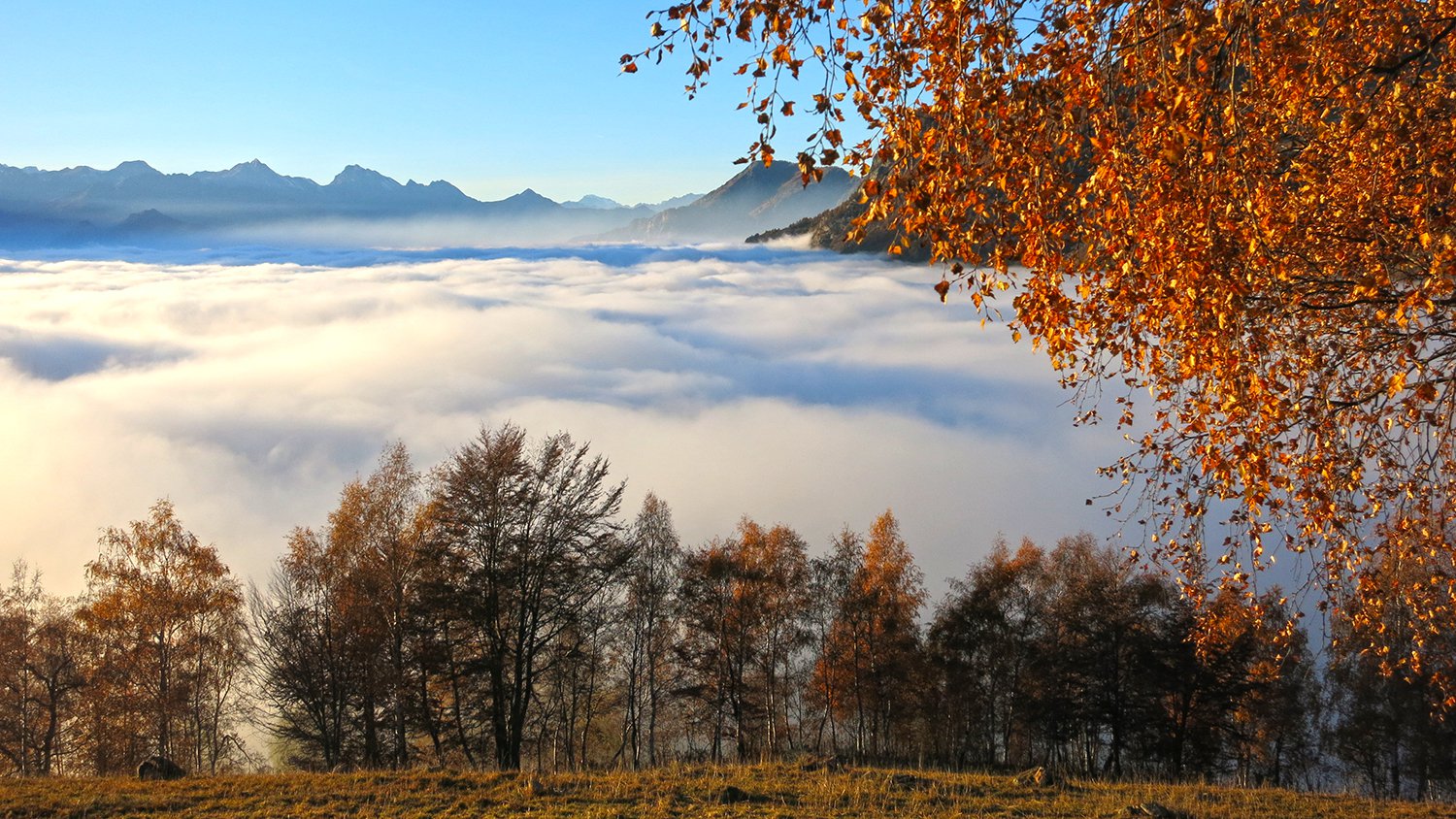
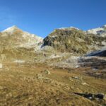
Il periodo ideale per effettuare l'escursione sarebbe quello della fioritura dei rododendri a fine giugno. Il percorso è comunque adatto per tutta la durata dell'estate e, meteo permettendo, anche per l'autunno.
Avvicinamento
Dal paese di Carema seguire la strada che porta all'alpe Maletto (20 minuti) e seguendo la strada portarsi al parcheggio soprastante il campanile della frazione.
Descrizione
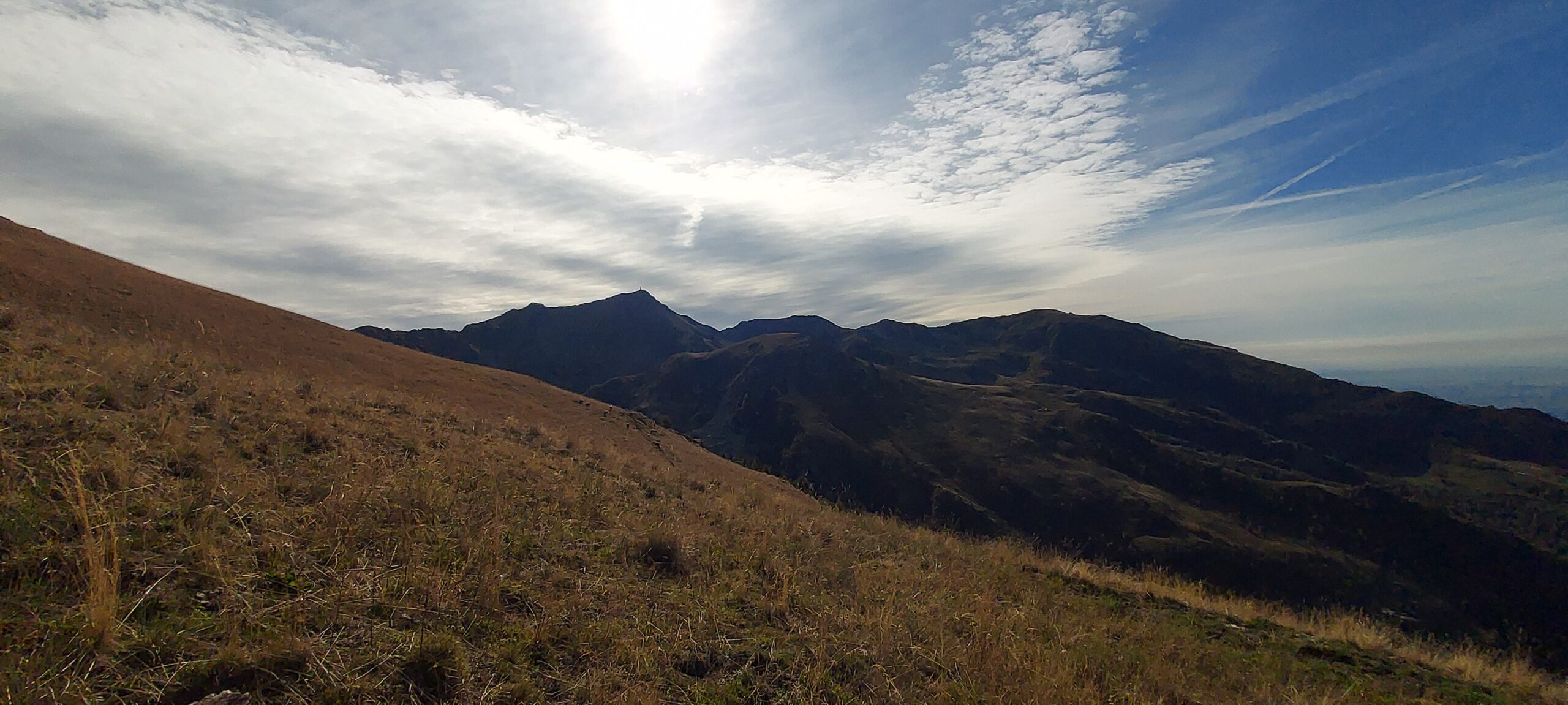
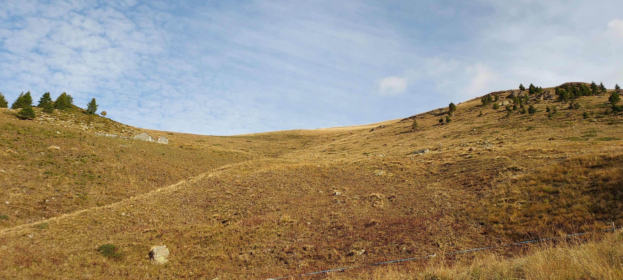
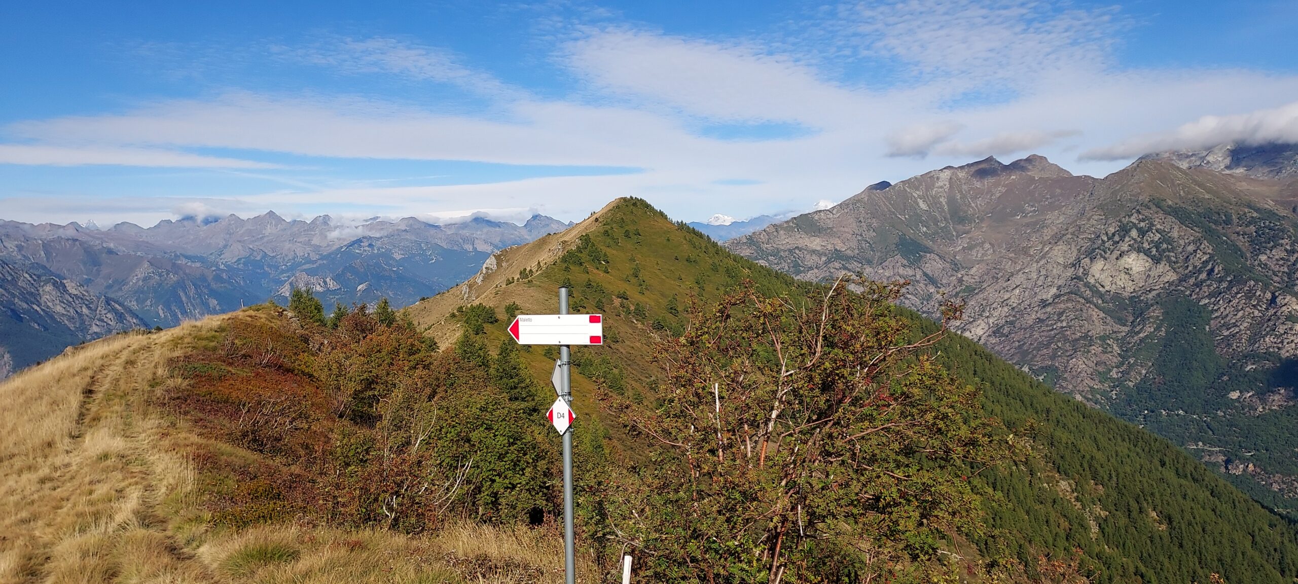
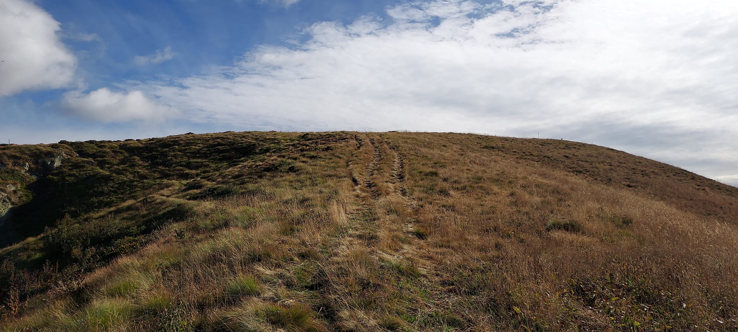
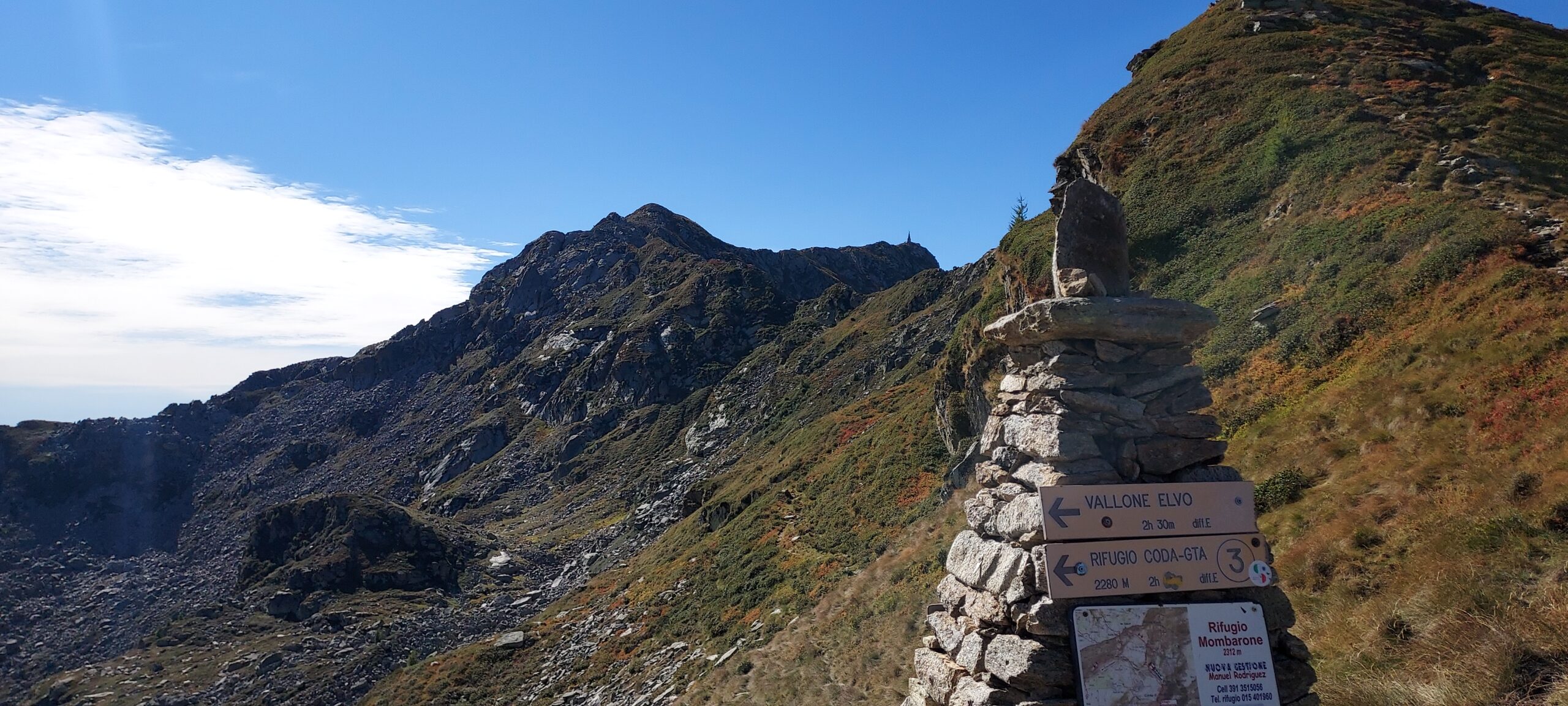
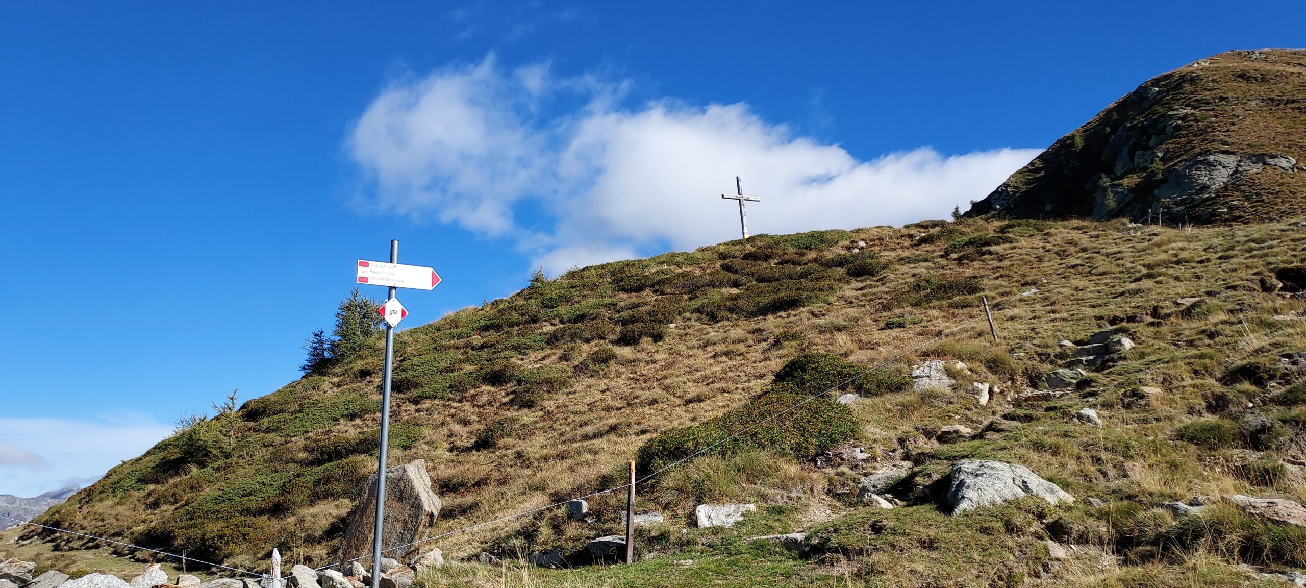
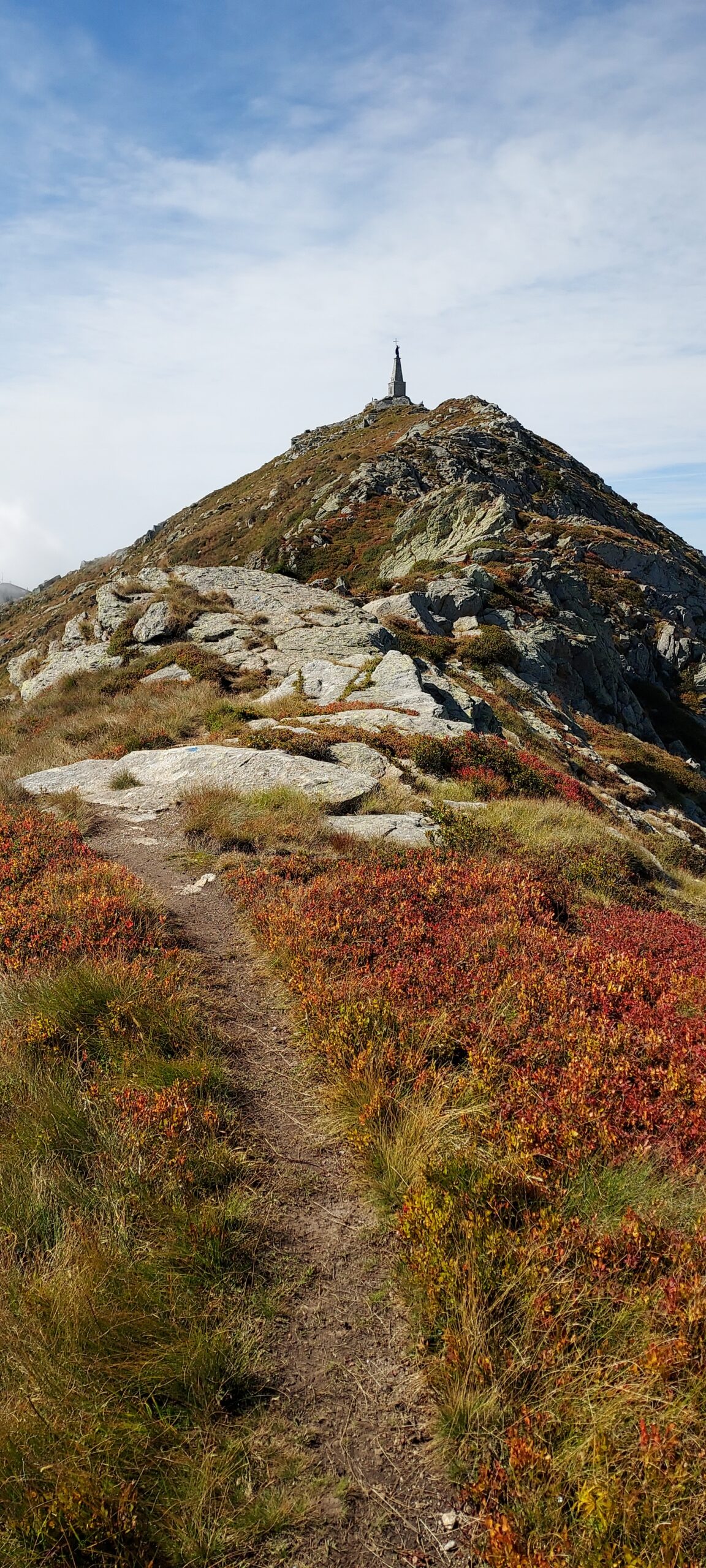
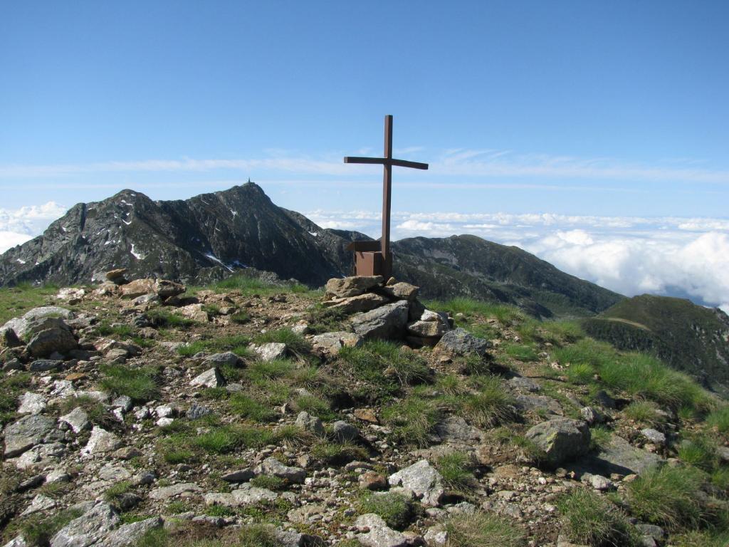
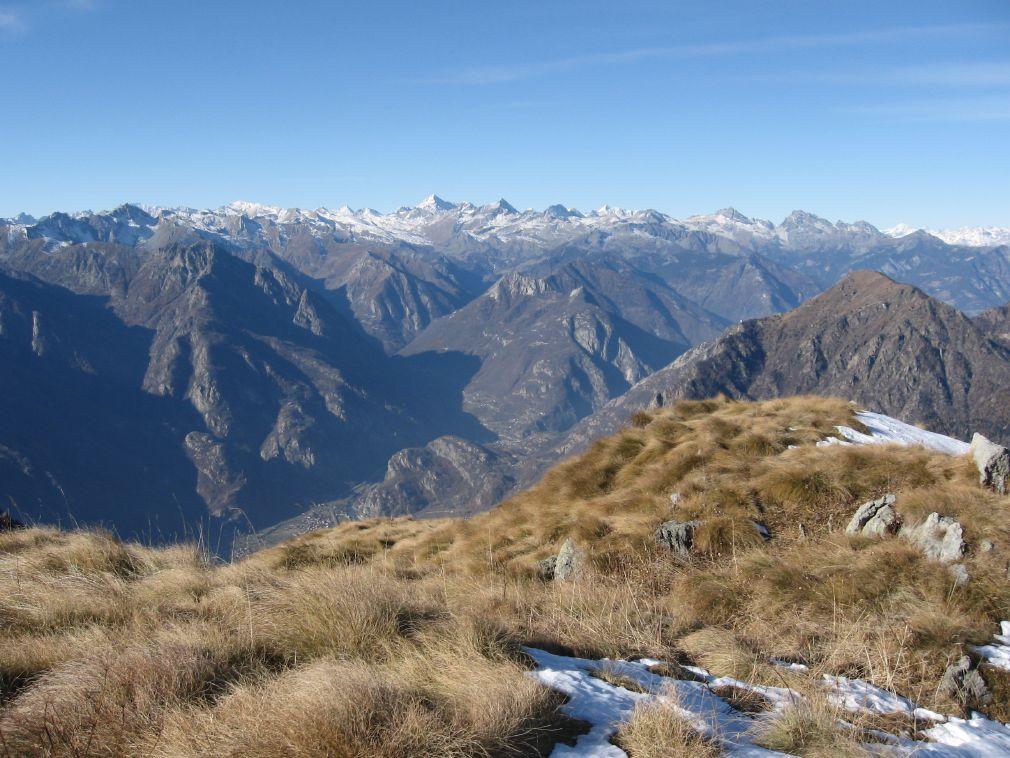
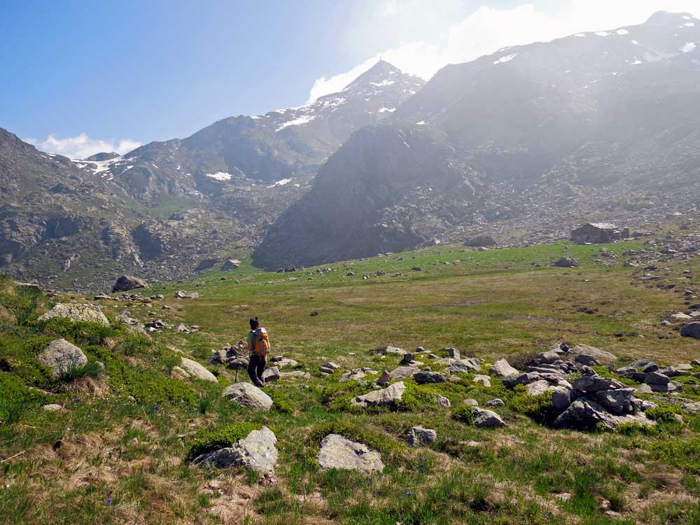
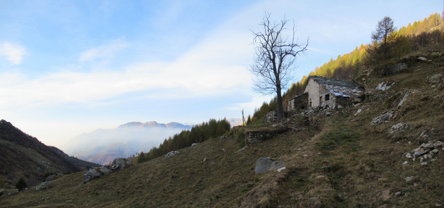
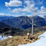
Dal parcheggio proseguire per qualche metro a destra fino ad individuare una stradina in selciato che sale ripidamente. Seguirla fino alle ultime case e proseguire sul sentiero che costeggia da prima una vecchia casa e poi si insinua in un bosco di betulle; si perviene quindi ad una strada poderale (la cosiddetta strada “San Giacomo Montagna Carema”) e seguirla fino a poco prima della località Balmetta. Qui si intercetta una pista che sale ripida a sinistra e, costeggiando un paio di vecchie baite, si infila nel bosco (segni bianco/rossi visibili): seguirla fino ad arrivare alla località Trucchetto e da qui imboccare il sentiero per la Punta Cressa (indicazioni). A questo punto arrivare a Punta Cressa è abbastanza semplice e, in alto dove non si trovano facilmente le ultime tracce, si può seguire liberamente il pendio fino ad arrivare in cresta. Seguire la cresta fino a pervenire alla punta e da qui seguire il sentiero che conduce facilmente all’alpe Bechera. A questo punto arrivare alla croce del colle dei Giassit è pura formalità. Si prende ora l’evidente sentiero che, verso est, porta in circa una ventina di minuti al colle della Lace: da qui si segue verso sud l’evidente cresta che porta prima a Punta Tre Vescovi e poi al redentore di Mombarone: fare attenzione che il sentiero in un paio di punti è abbastanza esposto. Dal Mombarone si scende prima al rifugio e poi al sottostante bivacco: qui si trova il sentiero che scende a destra verso Trovinasse passando per l’alpe Mombarone prima e la Garitta poi. Seguendolo si va ad incrociare nuovamente la strada San Giacomo Montagna Carema da ripercorrere a ritroso verso il Maletto. Complessivamente sono circa 14 Km che possono essere percorsi senza troppa fatica in 5 o 6 ore.
- Cartografia:
- Carta della VALLE DORA BALTEA CANAVESANA (MU Edizioni) - Alpi Canavesane 1:20000
- Bibliografia:
- Guida dei monti d'Italia - ALPI BIELLESI E VALSESIANE - Touring Club Italiano
Nelle vicinanze Mappa
Itinerari
25/04/2026 TO, Settimo Vittone D+ 930 m E Sud
Nona (Bec di) e Punta Cressa da Trovinasse, anello per la Ciarma
 2.1Km
2.1Km
01/06/2008 TO, Settimo Vittone D+ 997 m EE/F Sud-Ovest
Mombarone (Colma di), Mont Roux, Punta Tre Vescovi da Trovinasse, anello
2.1Km
07/11/2025 TO, Settimo Vittone D+ 846 m E Sud-Ovest
Mombarone (Colma di) da Trovinasse
 2.1Km
2.1Km
11/06/2012 TO, Settimo Vittone D+ 1650 m EE Sud-Ovest
Roux (Mont) e Mont Bechit da Trovinasse per il Rifugio Coda e Punta Sella
 2.1Km
2.1Km
01/01/2025 TO, Settimo Vittone D+ 944 m EE Sud
Roux (Monte) da Trovinasse per il Colle della Lace
 2.1Km
2.1Km
17/11/2007 TO, Settimo Vittone D+ 1153 m EE Nord
Roux (Mont) da Trovinasse, anello per Bec di Nona e Punta Cressa
 2.1Km
2.1Km
23/06/2019 TO, Settimo Vittone D+ 685 m E Ovest
Test (Piano dei) da Trovinasse
 2.1Km
2.1Km
14/08/2025 TO, Settimo Vittone D+ 823 m E Sud-Est
Lace (Colle della) da Trovinasse per il Col Giassit
 2.1Km
2.1Km
25/04/2023 TO, Settimo Vittone D+ 1400 m EE Varie
Mombarone (Colma di) e Mont Roux da Trovinasse, anello per i monti La Torretta, Cavalpiccolo, Cavalgrosso, Punta Tre Vescovi
 2.1Km
2.1Km
12/10/2025 TO, Settimo Vittone D+ 1000 m EE Ovest
Mombarone (Colma di) e Punta Tre Vescovi da Trovinasse, anello
 2.1Km
2.1Km
Servizi
3Km
3.1Km
Peru Ristorante
Settimo Vittone
4.1Km
Tripoli Albergo
Settimo Vittone
4.1Km
La sosta Ristorante
Settimo Vittone
4.1Km
La conca verde Ristorante
Settimo Vittone
4.3Km
Fantasy Ristorante
Carema
4.9Km
5inchetr3eut (ex La Quiete) Ristorante
Quincinetto
5.2Km
Da Marino Ristorante
Quincinetto
5.3Km
Vertical Rock Ristorante
Settimo Vittone
6.9Km