1.1Km
1.1Km
Note
Storico
 50m
50m
50m
1.2Km
1.2Km
1.8Km
4.2Km
6Km
7.1Km
7.1Km
50m
50m
50m
1.2Km
1.2Km
1.8Km
4.2Km
6Km
7.1Km
7.1Km
1.1Km
5.9Km
7.6Km
7.8Km
8Km
8.9Km
9.2Km
9.3Km
9.6Km
Salita riservata agli amanti delle zone selvagge e non frequentate e, in alto, delicata per esposizione e terreno spesso poco stabile. Poche tracce , posizionati ometti di pietre nel tratto della pietraia e nel tratto a nord.
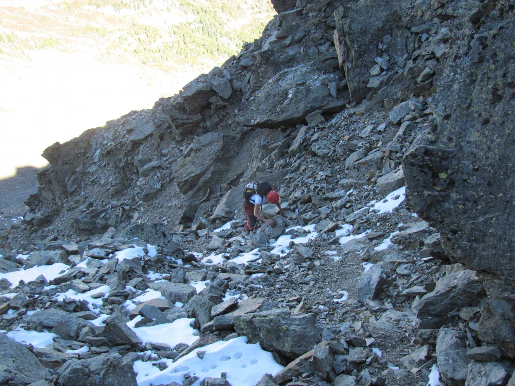
Dato che, dopo il colle, si rimane per un tratto sul versante nord, prima di raggiungere la cresta, bisogna far attenzione all'eventuale presenza di neve residua su pendii ripidi.
Più di 800 metri di dislivello fuori sentiero , ma il percorso non sempre è obbligato , da qui il rischio di portarsi troppo fuori obbiettivo.
Avvicinamento
Dato che, dopo il colle, si rimane per un tratto sul versante nord, prima di raggiungere la cresta, bisogna far attenzione all'eventuale presenza di neve residua su pendii ripidi.
Più di 800 metri di dislivello fuori sentiero , ma il percorso non sempre è obbligato , da qui il rischio di portarsi troppo fuori obbiettivo.
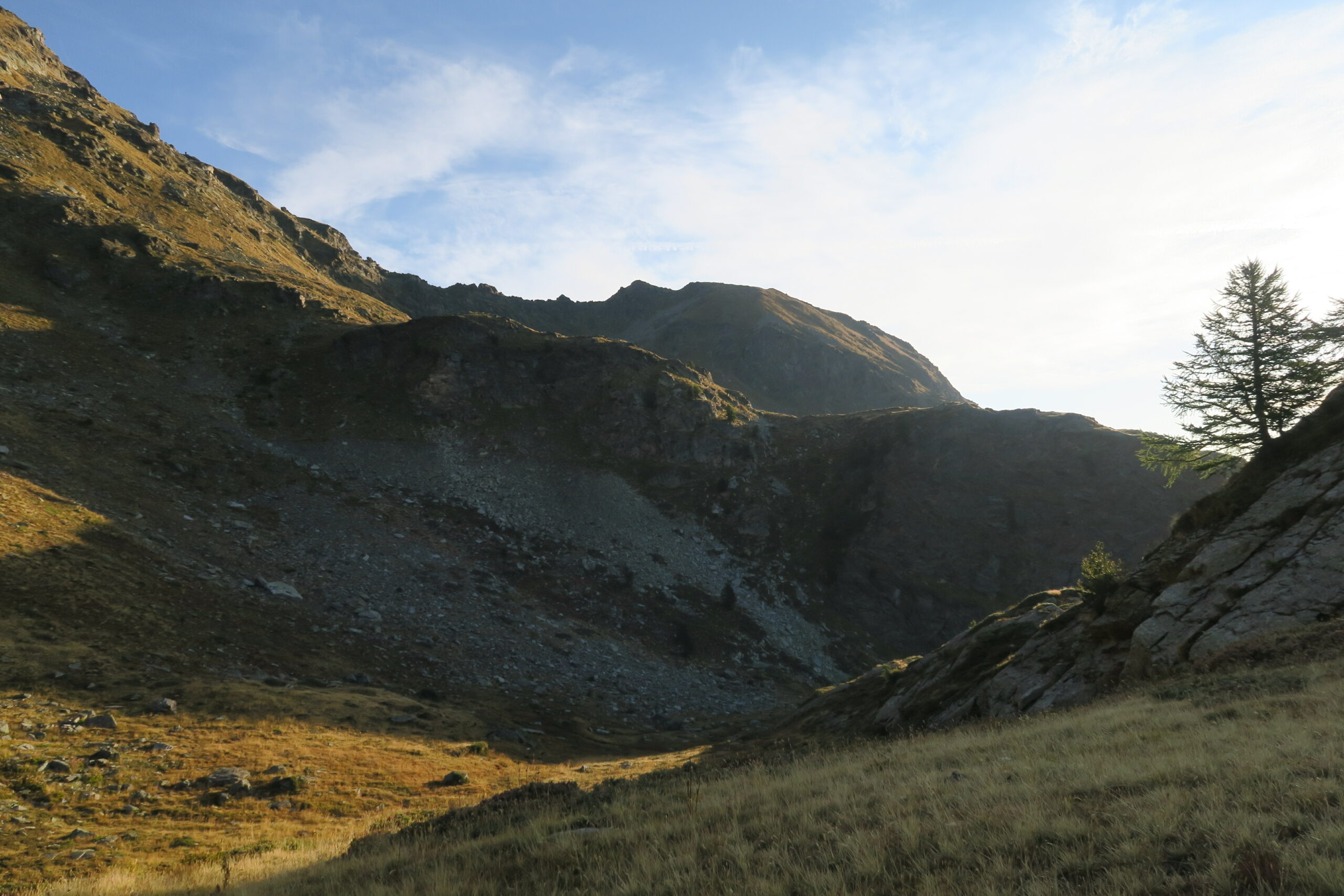
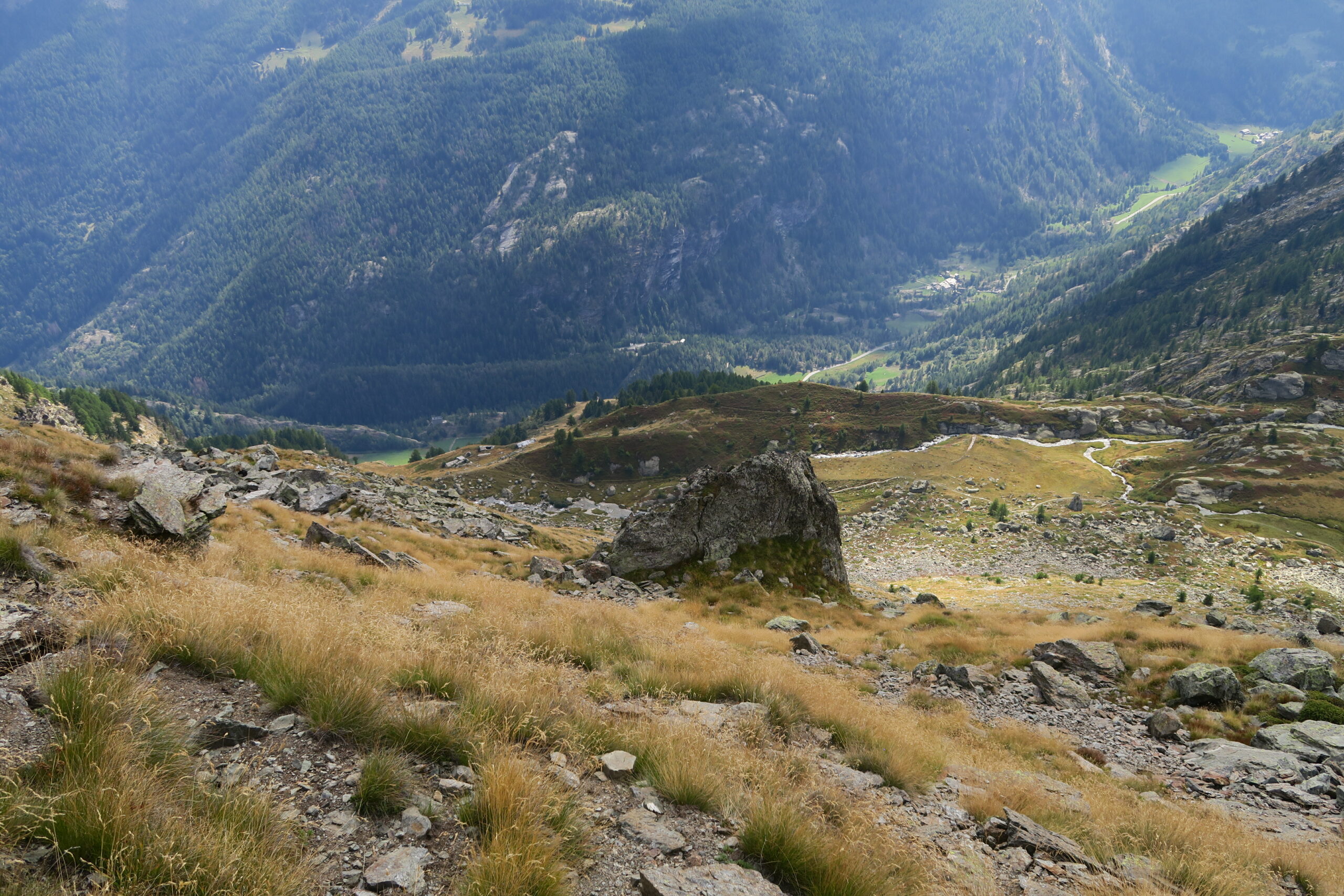
Risalire la Valgrisanche sino al bivio per Planaval che superato l'abitato porta in breve alla frazione di la Clusaz Si parte poco oltre di essa (pochi posti auto dal tornante dove parte l'Alta Via n. 2, con sentiero segnato per il Lac du Fond).
Descrizione
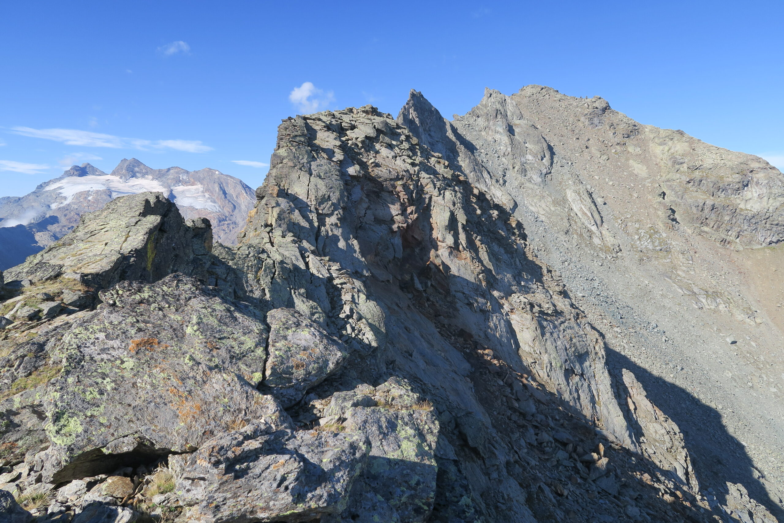
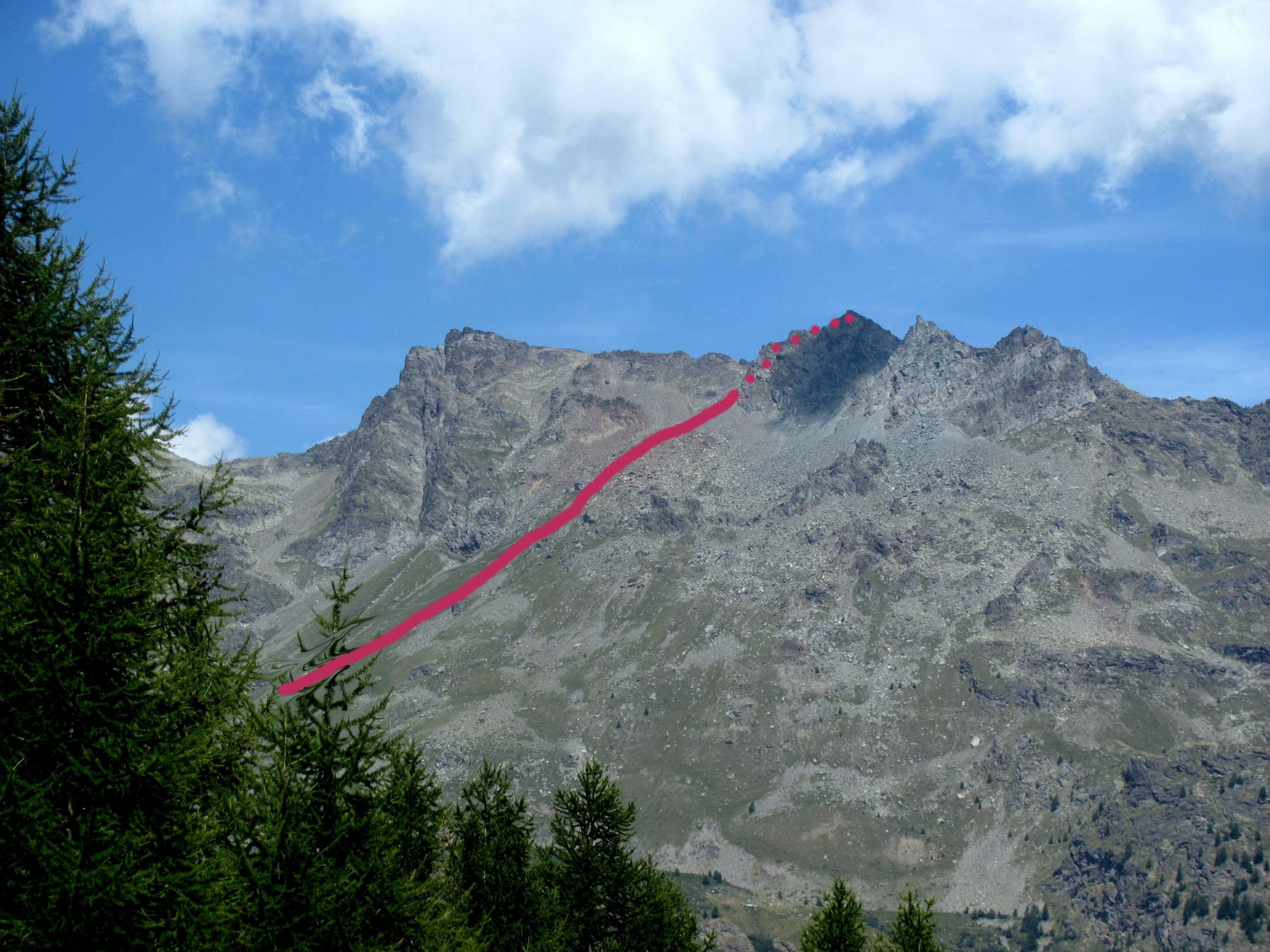
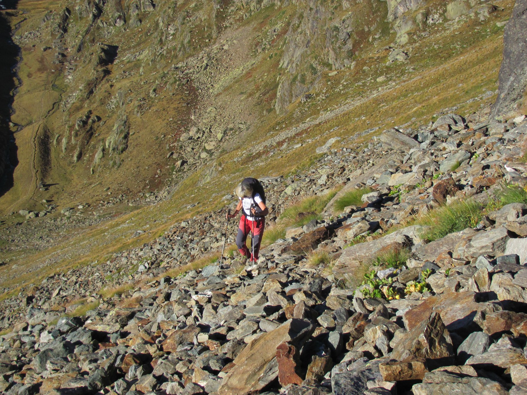
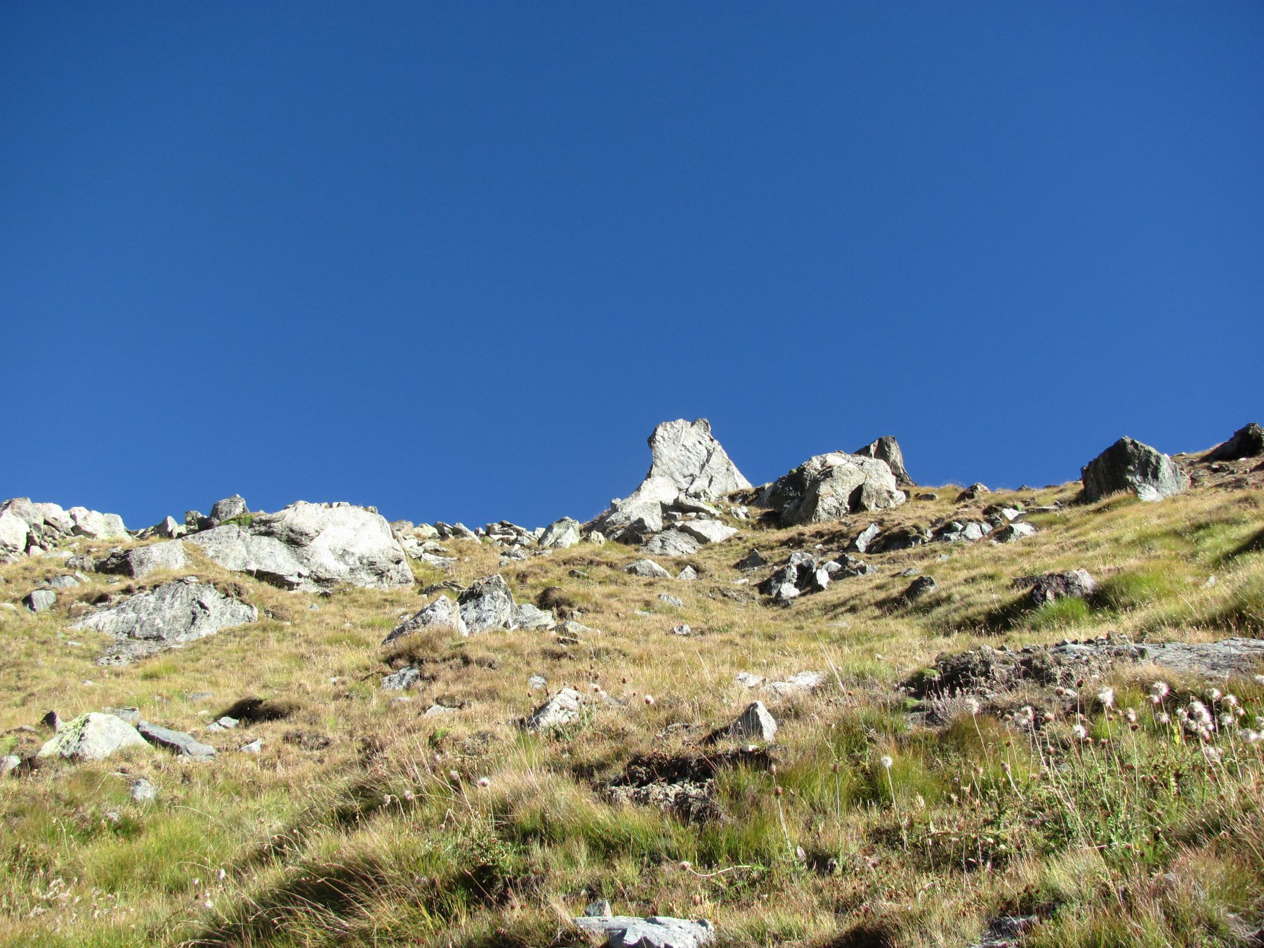
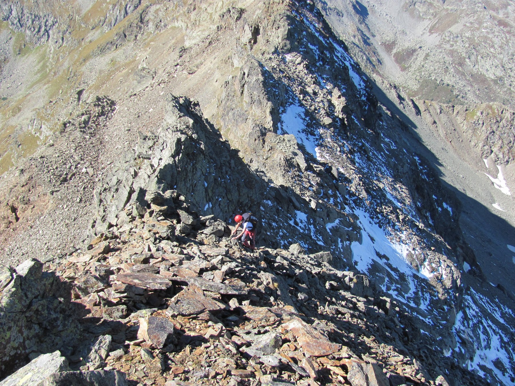
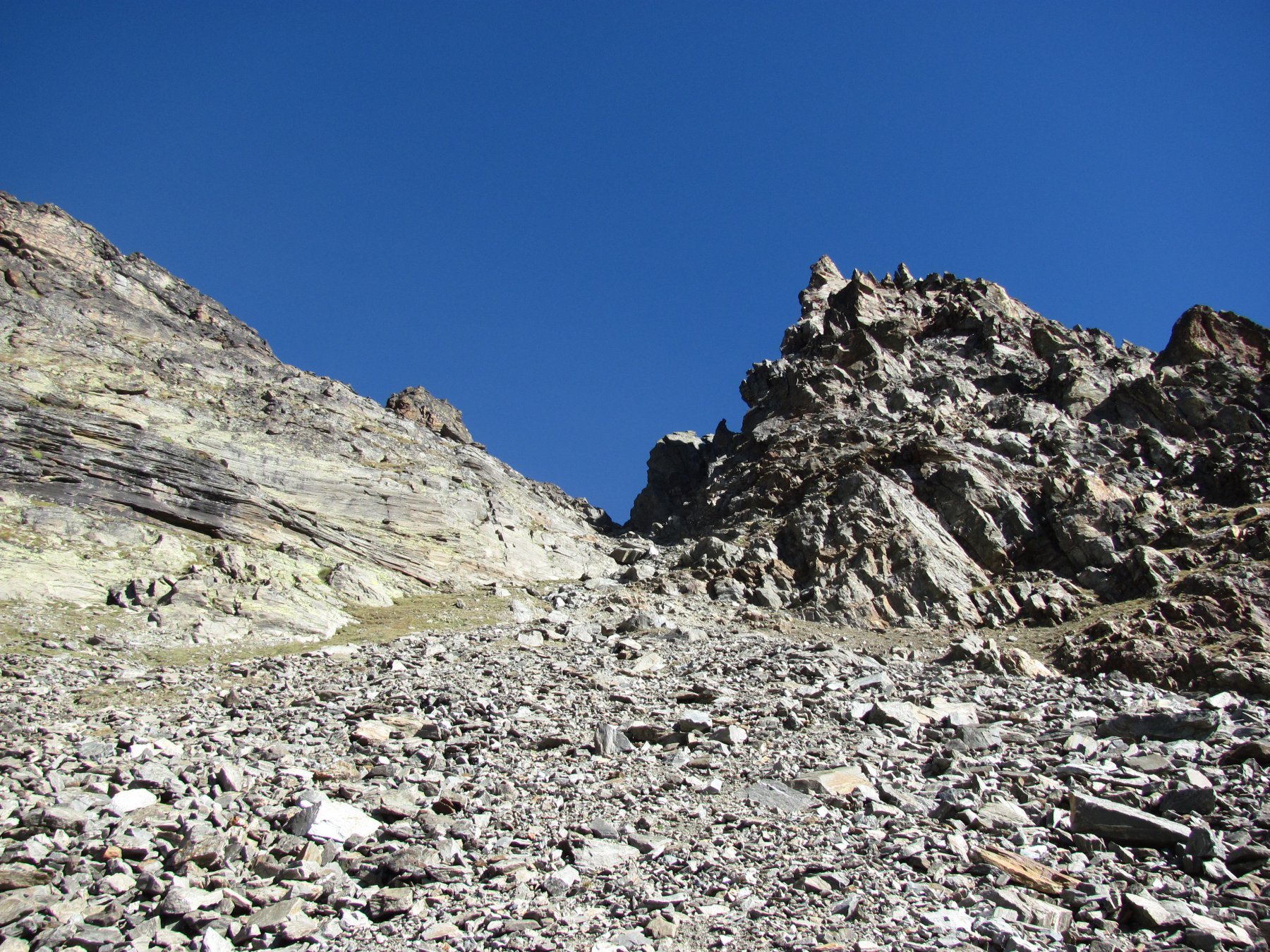
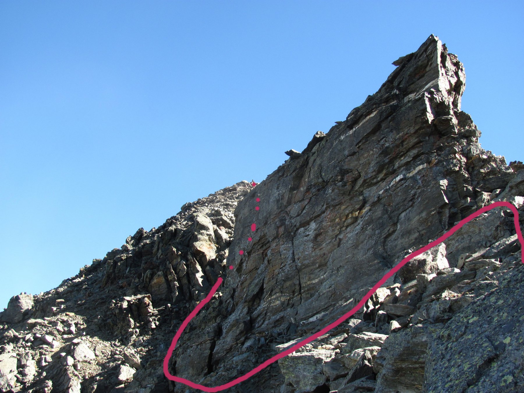
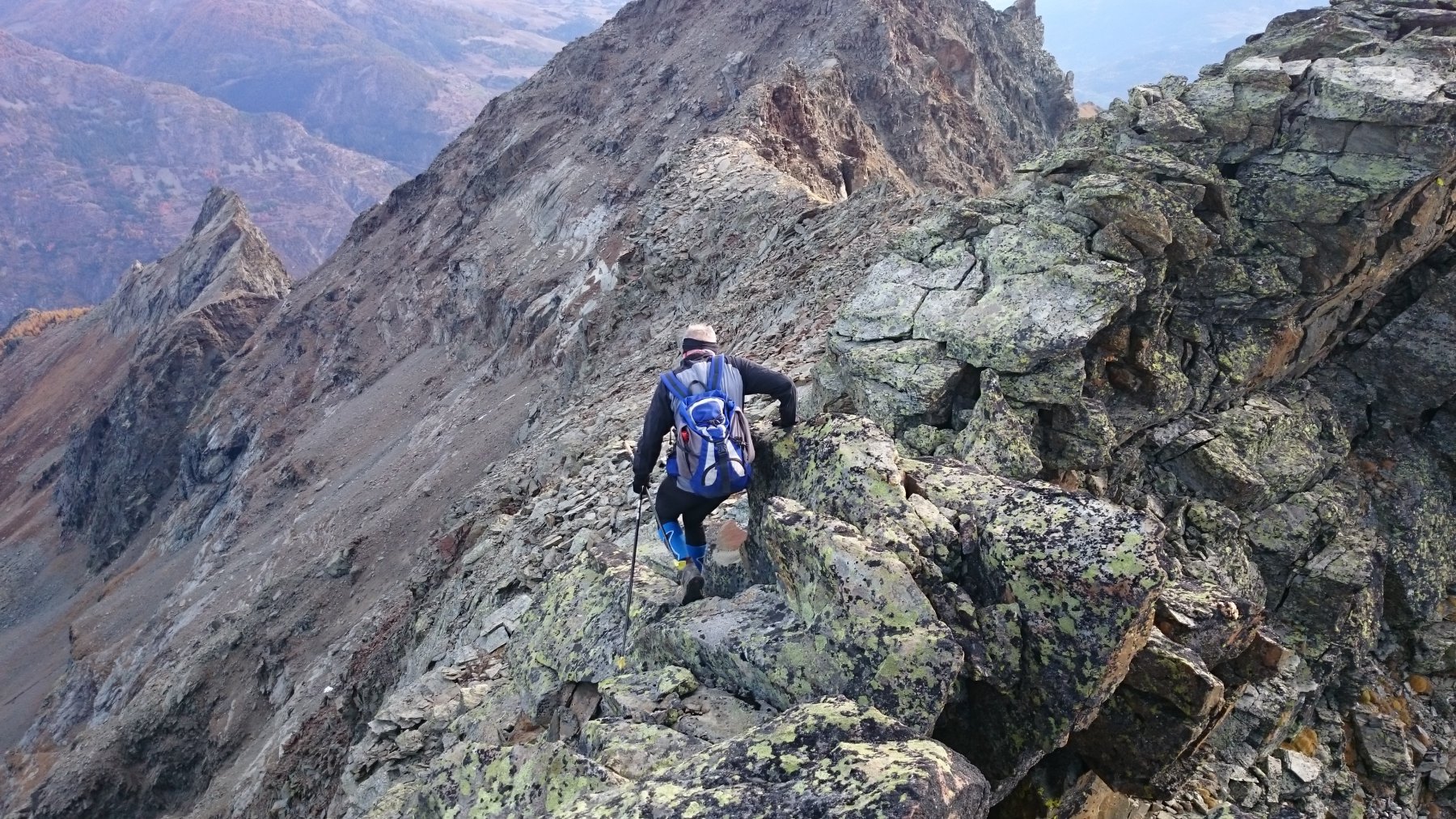
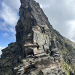
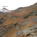
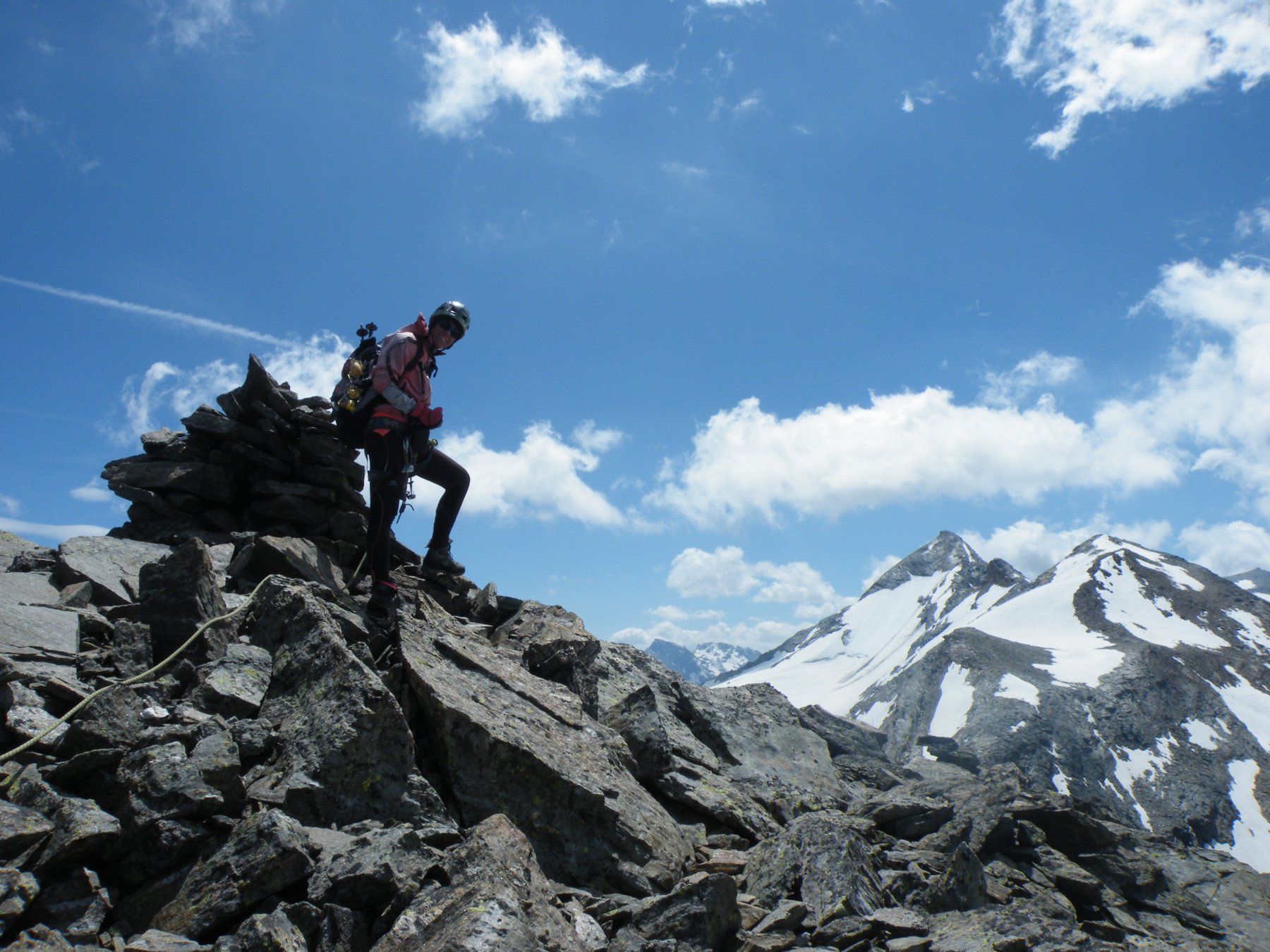
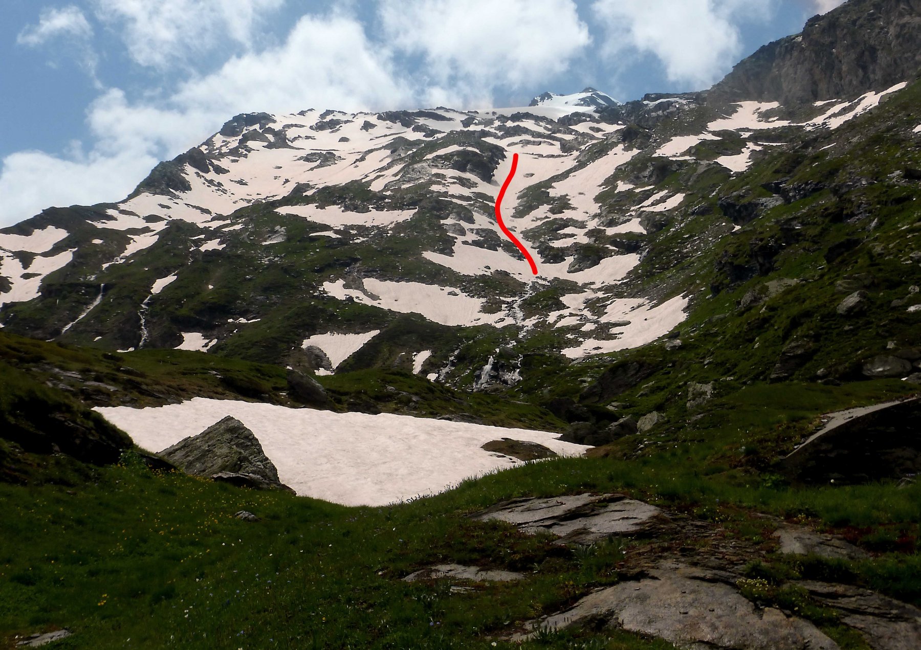
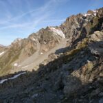
Si sale su mulattiera nel bosco sui fianchi ripidi del versante sud fino a oltre i vecchi alpeggi di Giacier (2163 m), si prosegue ancora in direzione del Lago di Fond senza raggiungerlo. Poco prima di dove si stacca la deviazione per il lago (lato sin orografico torrente , 2° ponticello) ( si inizia a salire i ripidi pendii erbosi verso nord est che dopo si impennano ulteriormernte fino a raggiungere una fascia di pietraie dove è posizionato un grosso omino su un sasso , non visibile dal basso. Da qui si vede finalmente il coll Taillà , ma per raggiungerlo bisogna ancora salire un ripido conoide di sfasciumi instabili. A questo punto , raggiunto il colle(m. 2931), si sale a destra per rocce rotte e, restando sul versante N, si raggiunge e si percorre una cengia in lieve discesa che aggira un salto verticale, si risale un canalone di sfasciumi o la cresta di sinistra che lo delimita su rocce accatastate (II) e ci si porta infine sulla cresta W, da quì in breve alla vetta.
Non ho visto descrizioni di salita da questo lato, ma solo della salita per cresta E, molto più impegnativa (AD). Con il percorso descritto le difficoltà sono limitate: EE per la maggior parte del percorso dopo il sentiero, F il tratto dopo il colle.
- Bibliografia:
- Alpi Graie Centrali - CAI-TCI
Nelle vicinanze Mappa
Itinerari
12/10/2017 AO, Avise D+ 1350 m F Varie
Taillà (Becca) da la Clusaz per il versante sud
 50m
50m
03/08/2024 AO, Avise D+ 1635 m PD Sud-Est
Paramont (Mont) da La Clusaz
 50m
50m
15/10/2024 AO, Avise D+ 1252 m F Sud
Pit (Mont) da Planaval
 50m
50m
21/07/2019 AO, Arvier D+ 1557 m F+ Sud-Est
Chenal (Punta) da Planaval
 1.2Km
1.2Km
28/06/2020 AO, arvier D+ 1850 m F Nord-Est
Chateau Blanc da Planaval
 1.2Km
1.2Km
17/08/2013 AO, Valgrisenche D+ 1300 m AD- Est
Tighet (Torre del) o Tour du Tignet da Baulin per la Cresta Est
 1.8Km
1.8Km
12/07/2019 AO, La Salle D+ 767 m AD Nord-Est
Tor (Becca della) Via Abandonnée
 4.2Km
4.2Km
17/09/2023 AO, Valgrisenche D+ 1539 m PD Ovest
Tzaboc (Becca di) o Punta di Luetta da Valgrisenche
 6Km
6Km
11/08/2025 AO, Valgrisenche D+ 1650 m PD+ Sud
Rutor (Testa del) Cresta SO
 7.1Km
7.1Km
08/08/2023 AO, Valgrisenche D+ 1650 m D- Sud-Est
Rutor (Testa del) Cresta S/SE
 7.1Km
7.1Km
Servizi
1.1Km
5.9Km
La Tana delle Volpi Ristorante
Valgrisenche
7.6Km
Vagneur Albergo
Saint-Nicolas
7.8Km
Lo Foo Ristorante
La Salle
8Km
La Jolie Bergere Albergo
La Salle
8.9Km
Degli Angeli Rifugio
Valgrisenche
9.2Km
Atanor Ristorante
Arvier
9.3Km
Beau Sejour Albergo
Arvier
9.6Km