350m
350m

Note
Storico
 50m
50m
2Km
2Km
2Km
2.1Km
2.1Km
2.1Km
2.5Km
50m
50m
2Km
2Km
2Km
2.1Km
2.1Km
2.1Km
2.5Km
350m
2Km
2Km
2Km
2.1Km
2.1Km
2.4Km
2.6Km
4.2Km
7.3Km
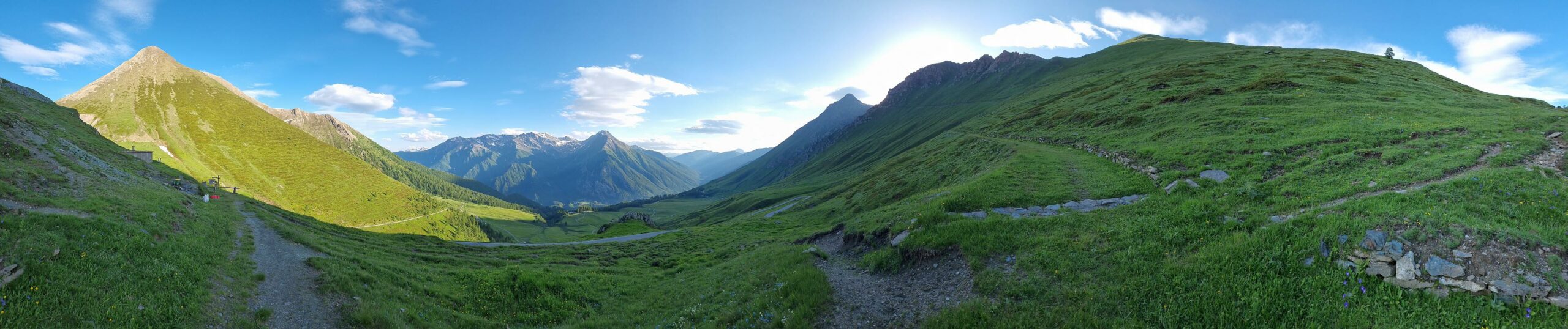
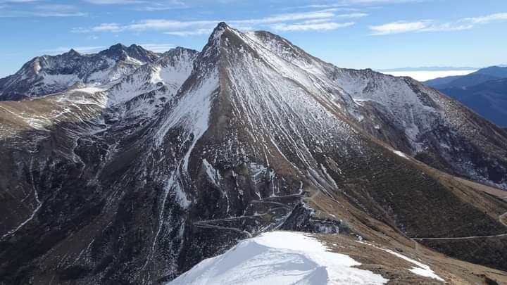
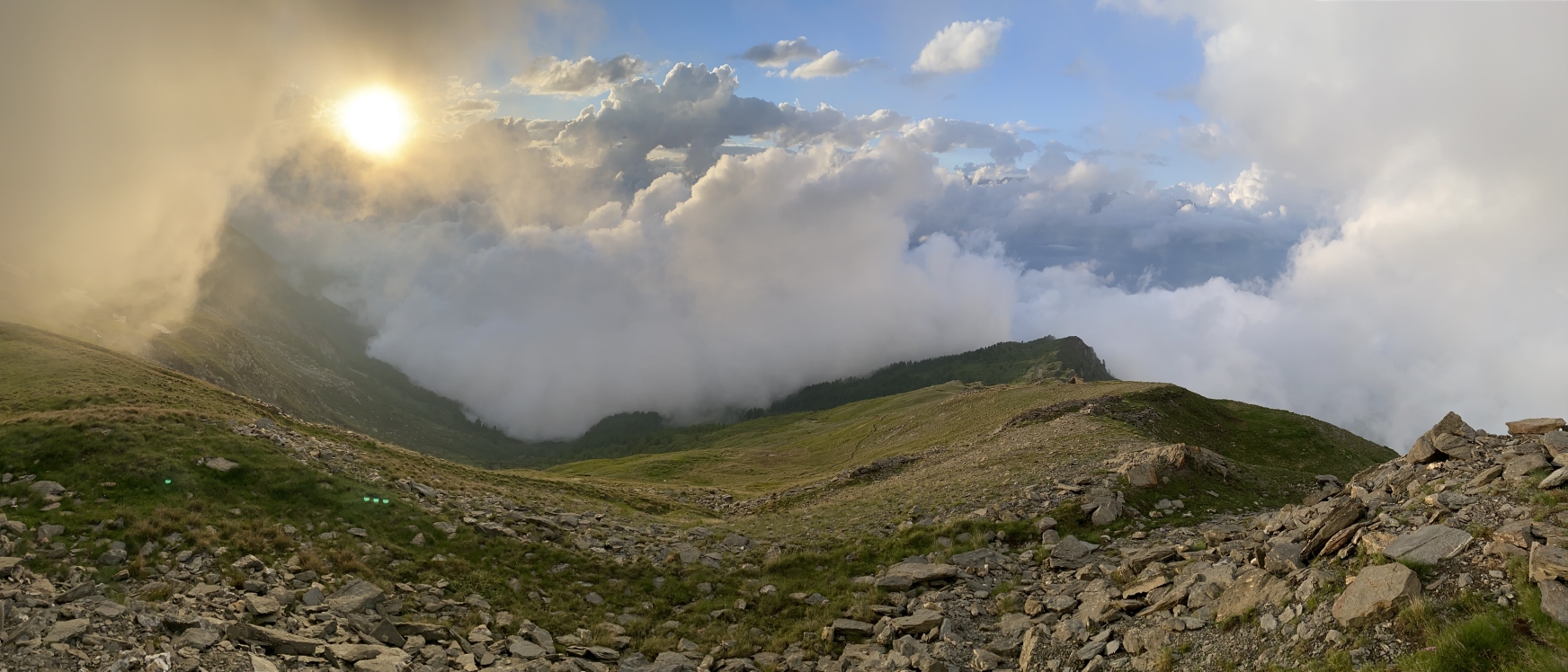
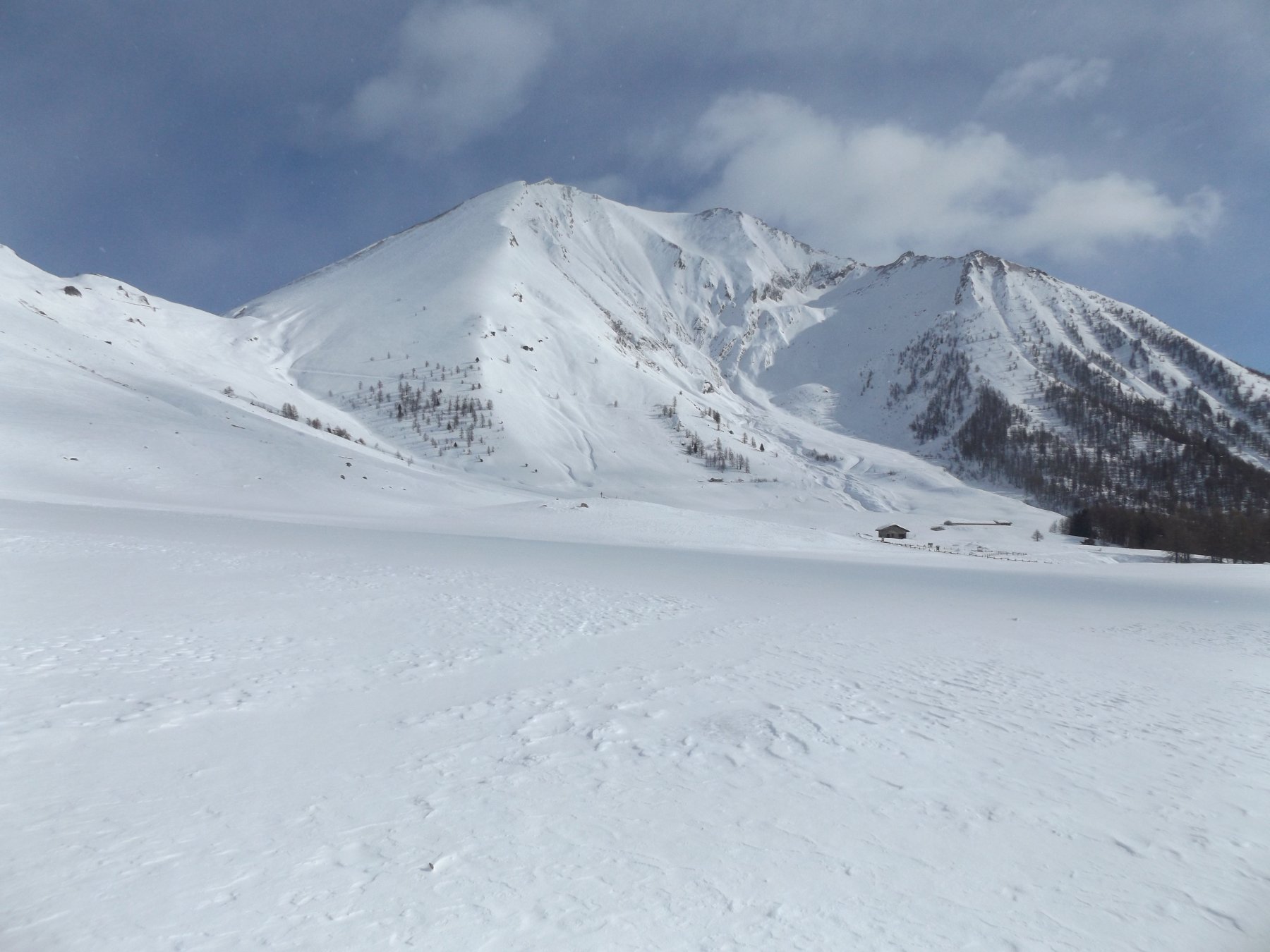
Escursione semplice su pendii solatii.
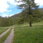
Avvicinamento
Risalire la Val Chisone fino al bivio per Usseaux, da qui per strada asfaltata al Pian dell'Alpe.
Descrizione
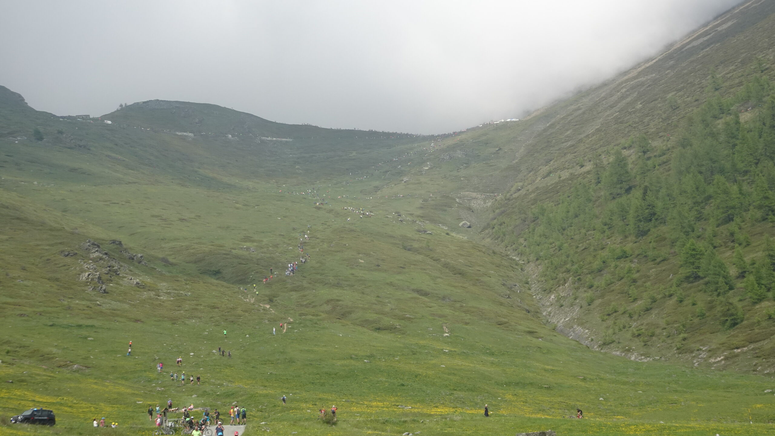
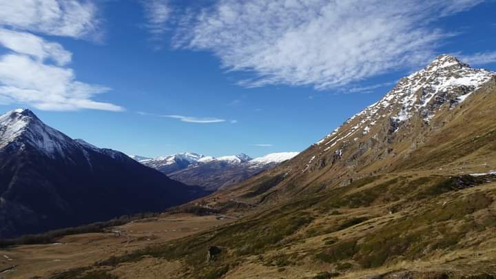
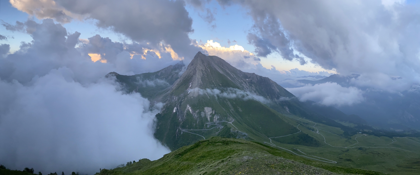
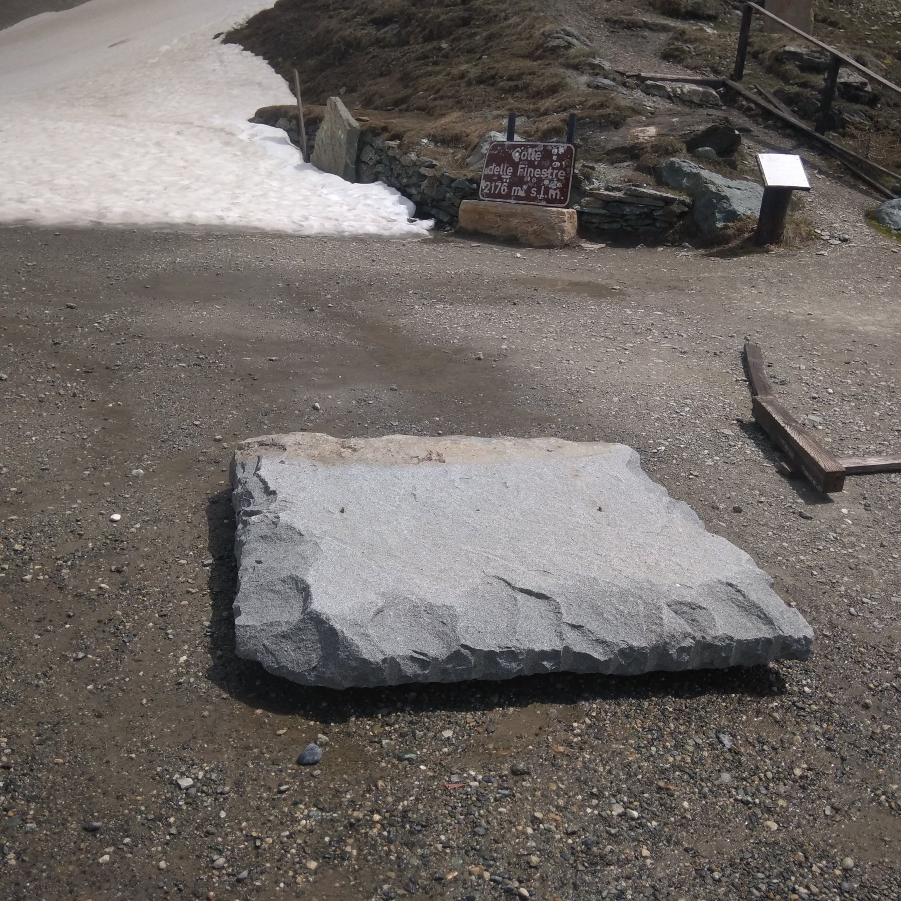
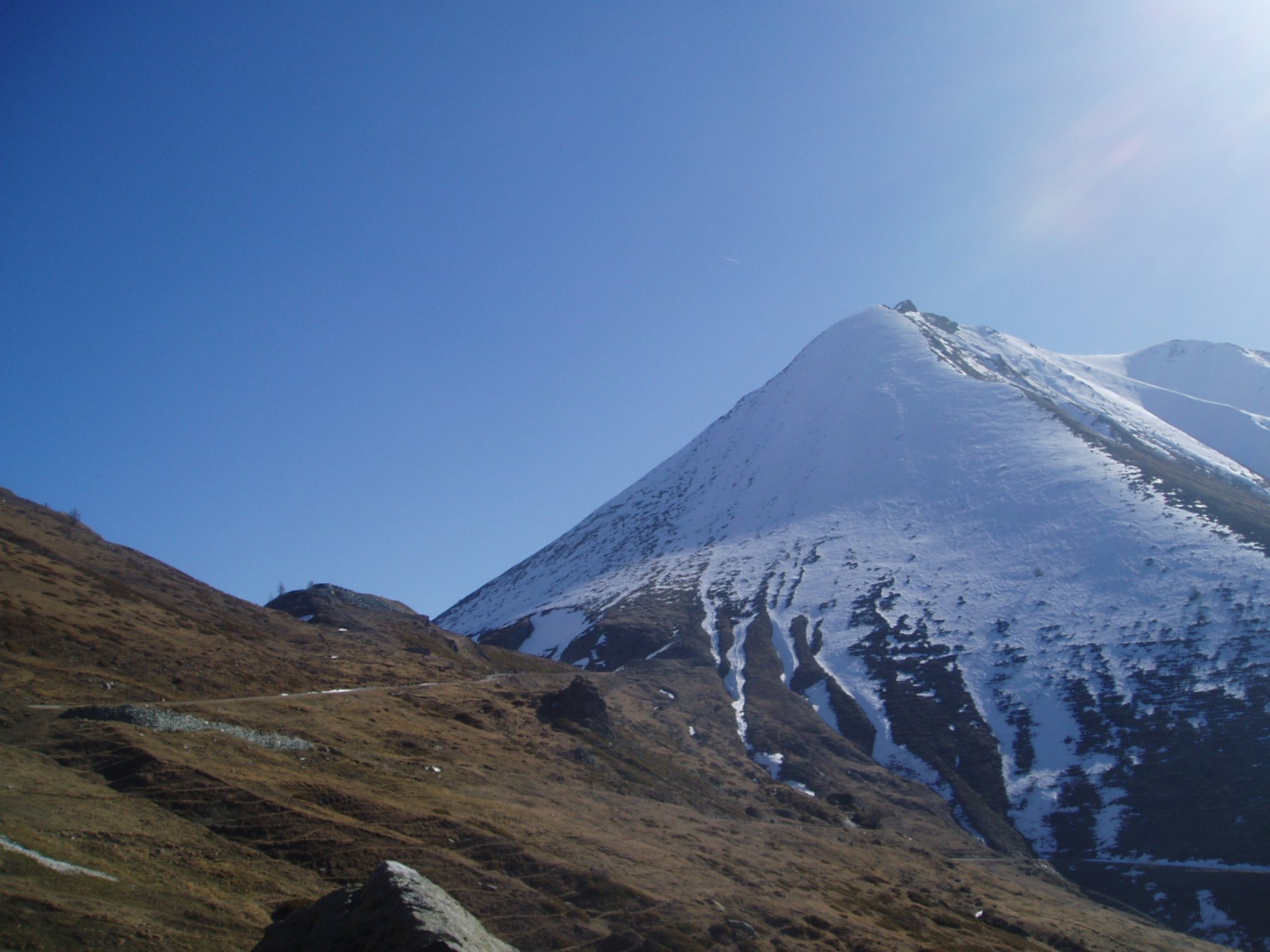
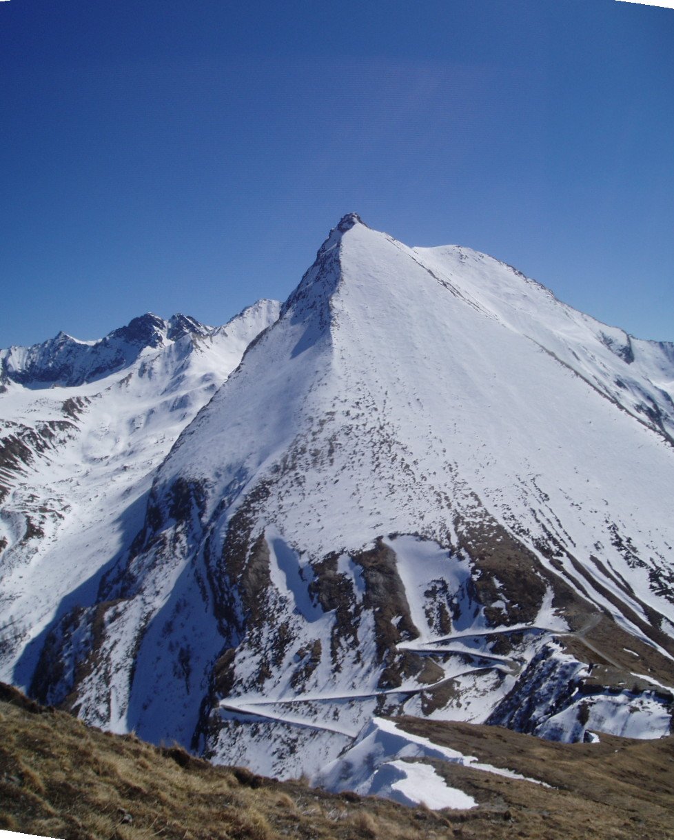
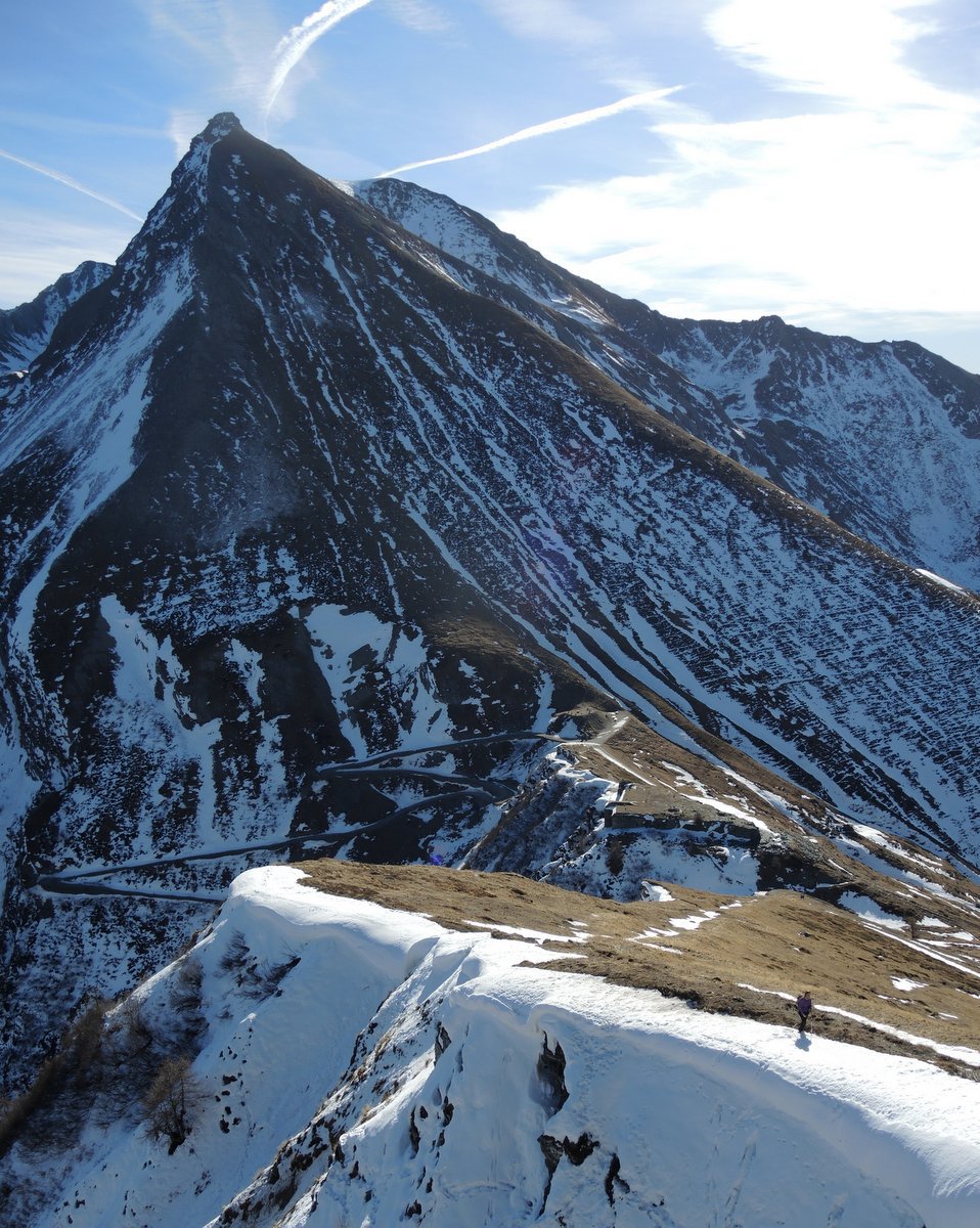
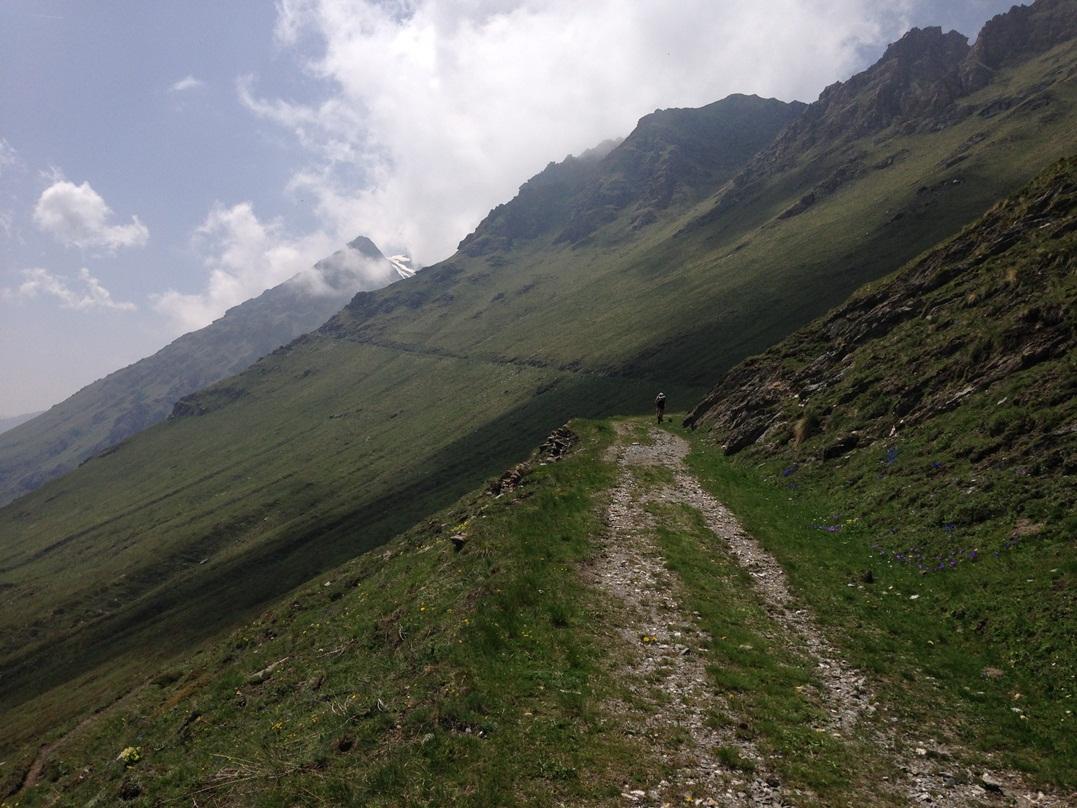
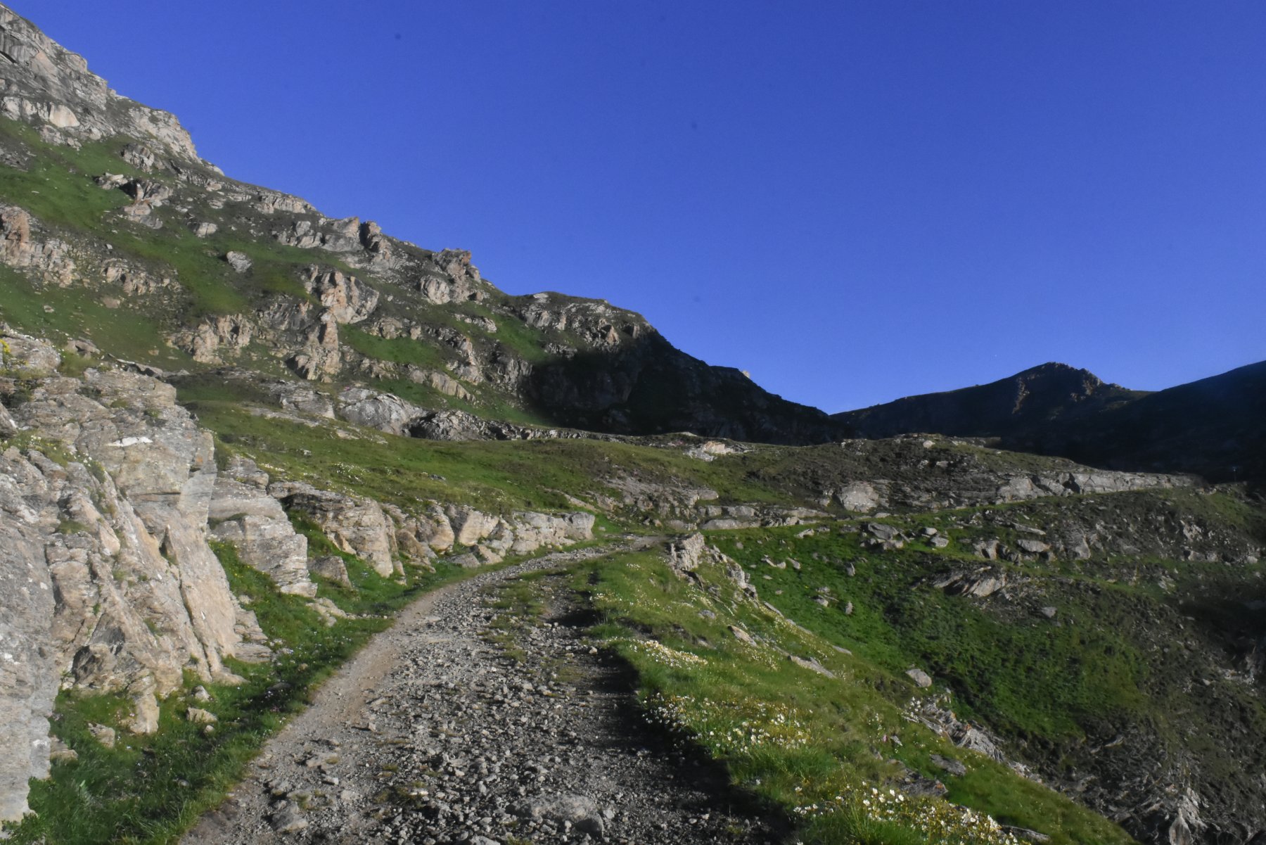
Lasciata l’auto a Pian dell’Alpe, si raggiunge il colle delle Finestre (vari modi, uno dei quali forse il migliore e’ percorrere la strada – ovviamente meglio se chiusa).
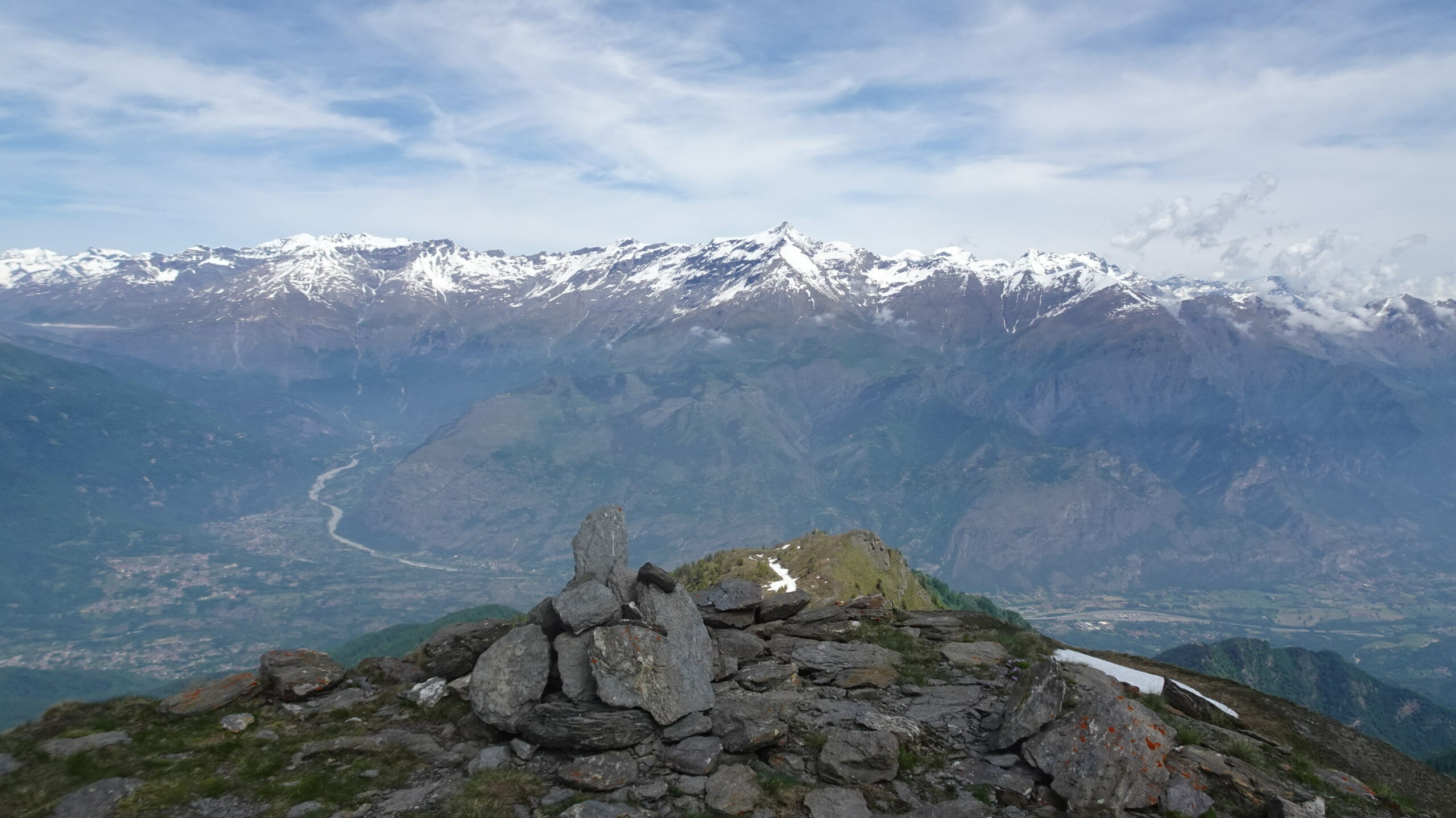
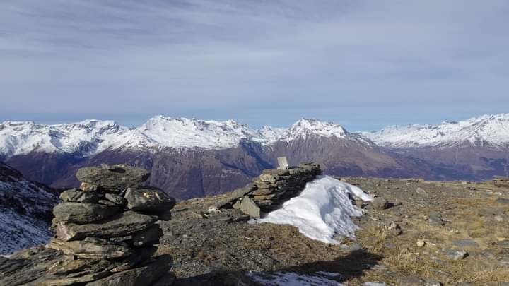
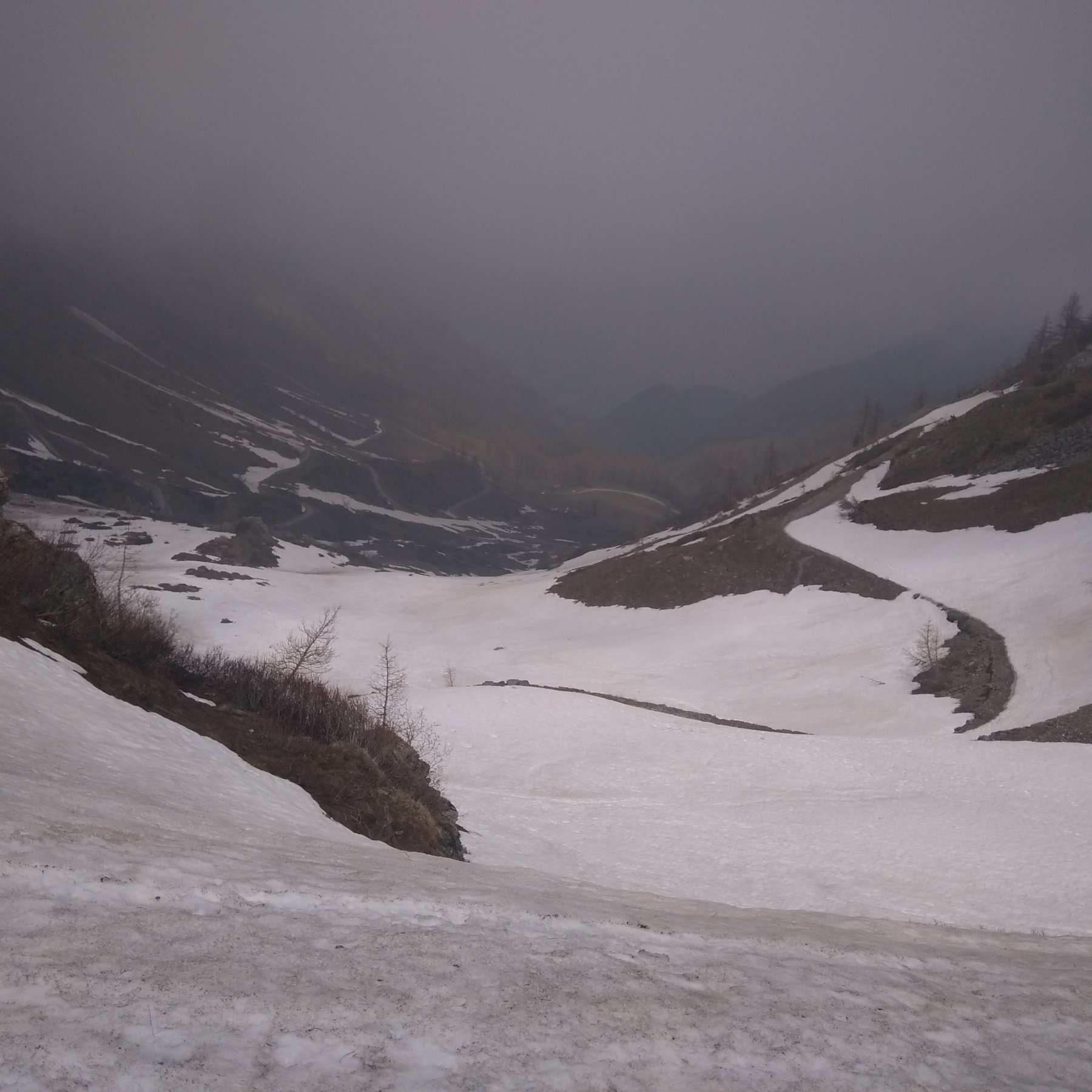
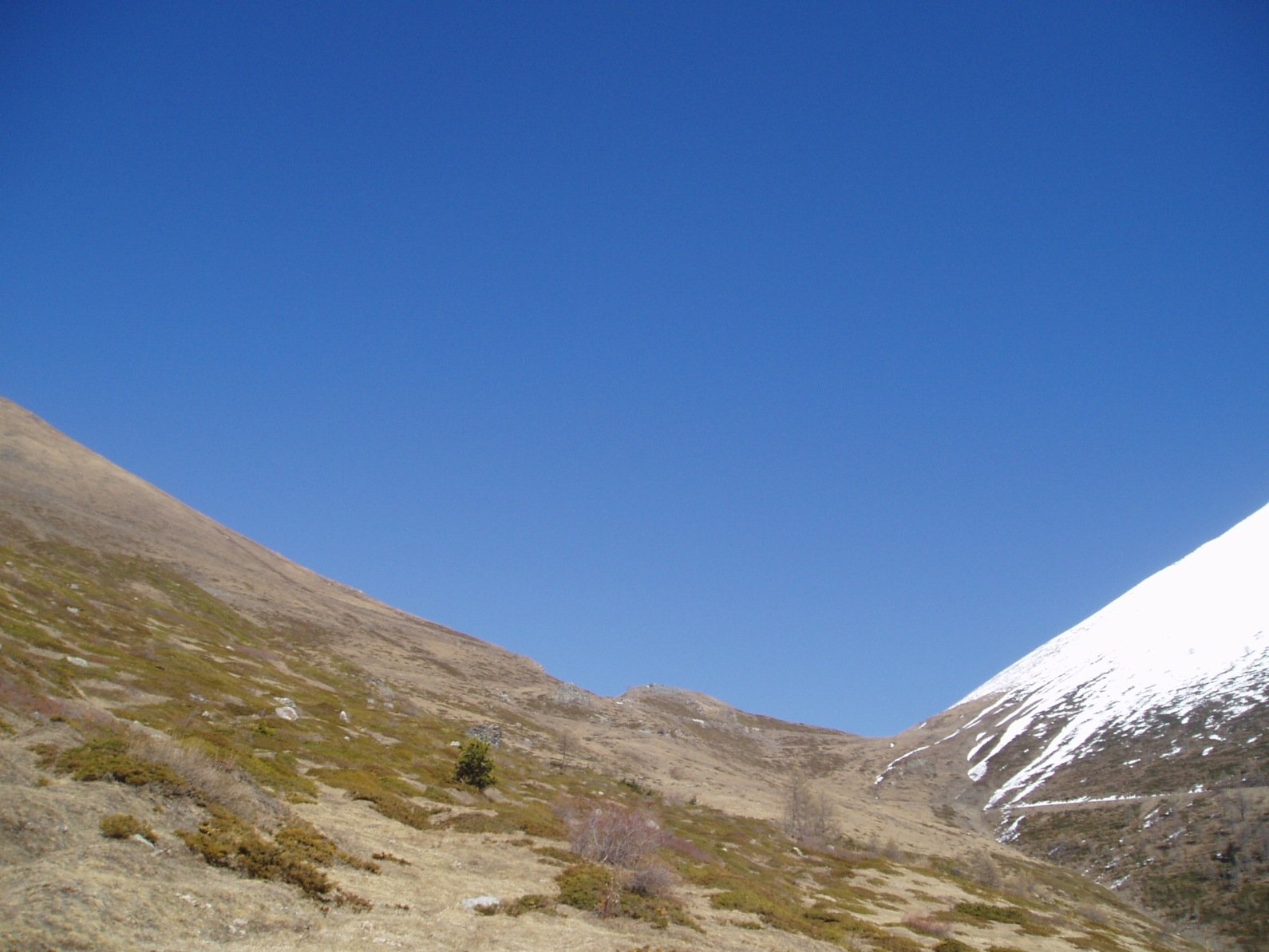
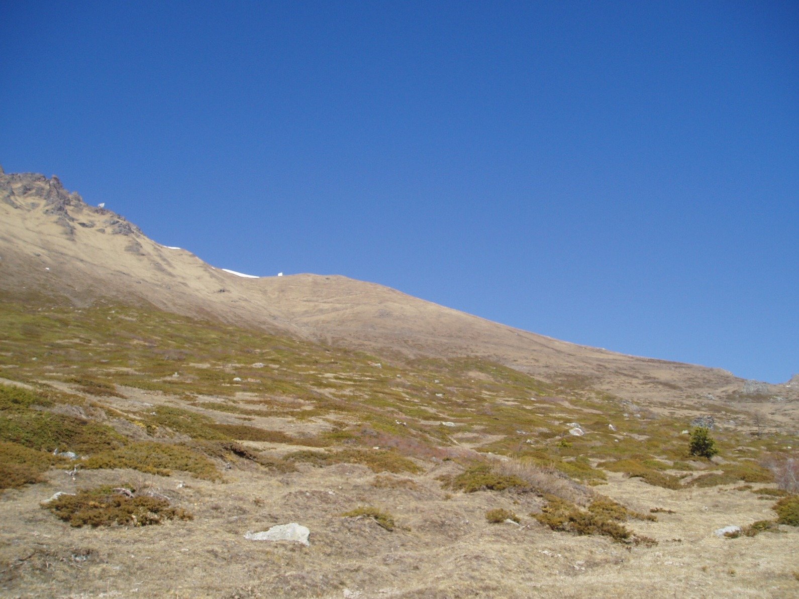
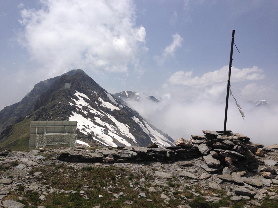
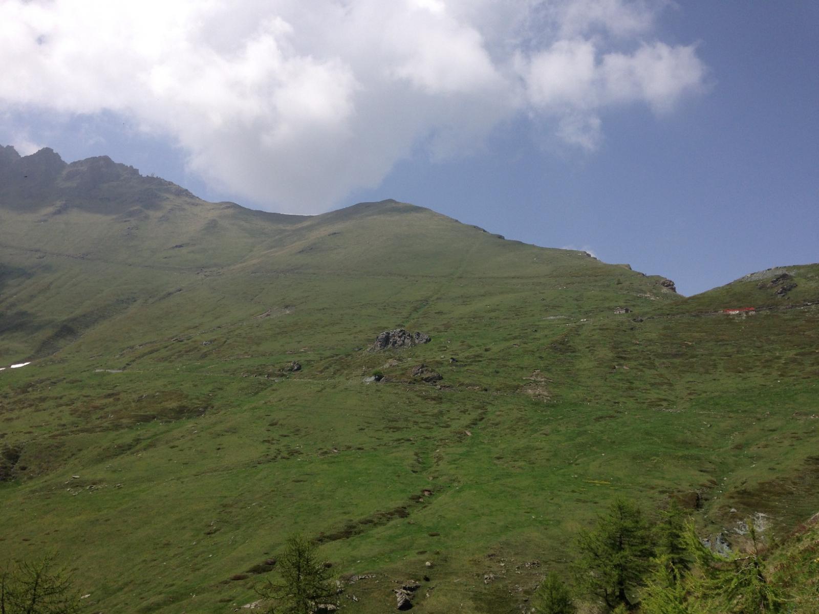
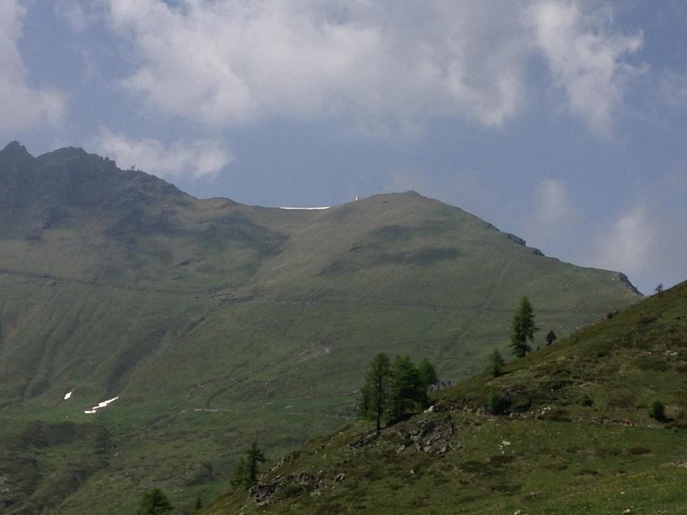
Prendere la vecchia strada militare Colle delle Finestre – Gran Serin – Colle dell’Assietta che dal colle va verso sinistra (cioè ovest) salendo verso il Colle della Vecchia e la Ciantiplagna tagliando a mezza costa il pendio. Dopo circa 15 minuti su questa strada, in corrispondenza della fontana della sorgente Fountan Murò, parte un sentierino che si inerpica sul pendio erboso sovrastante, e con alcune svolte porta comodamente in vetta. Due ripetitori vicino al punto culminante.
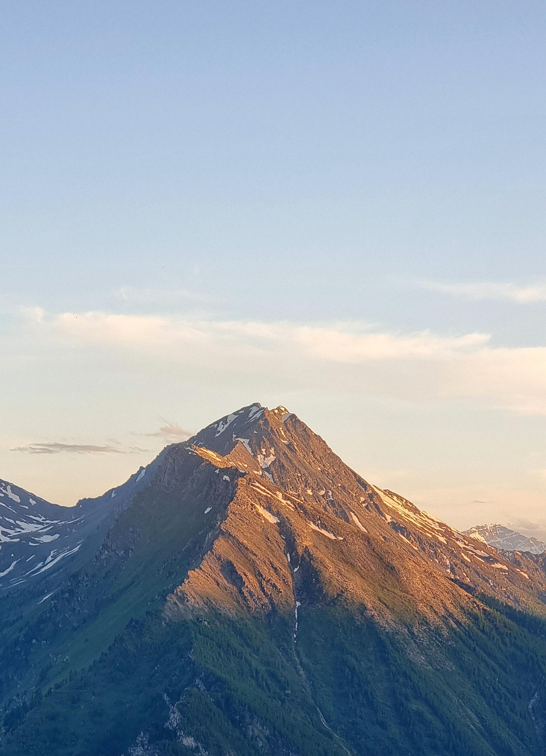
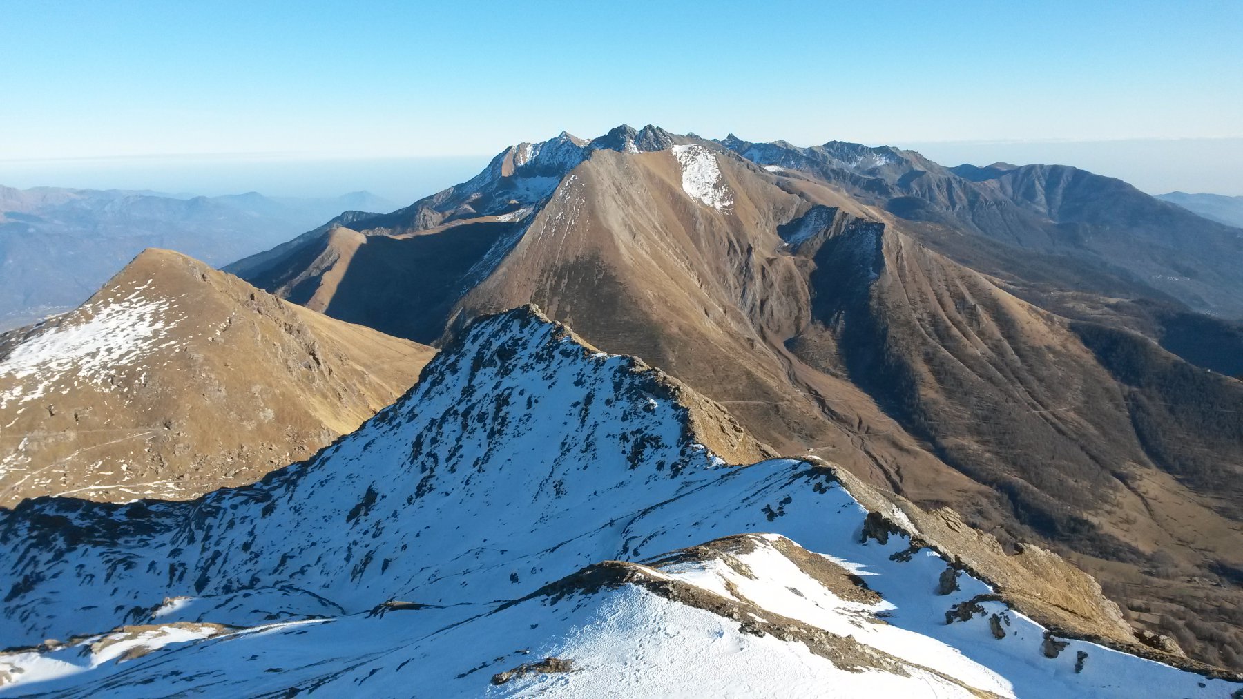
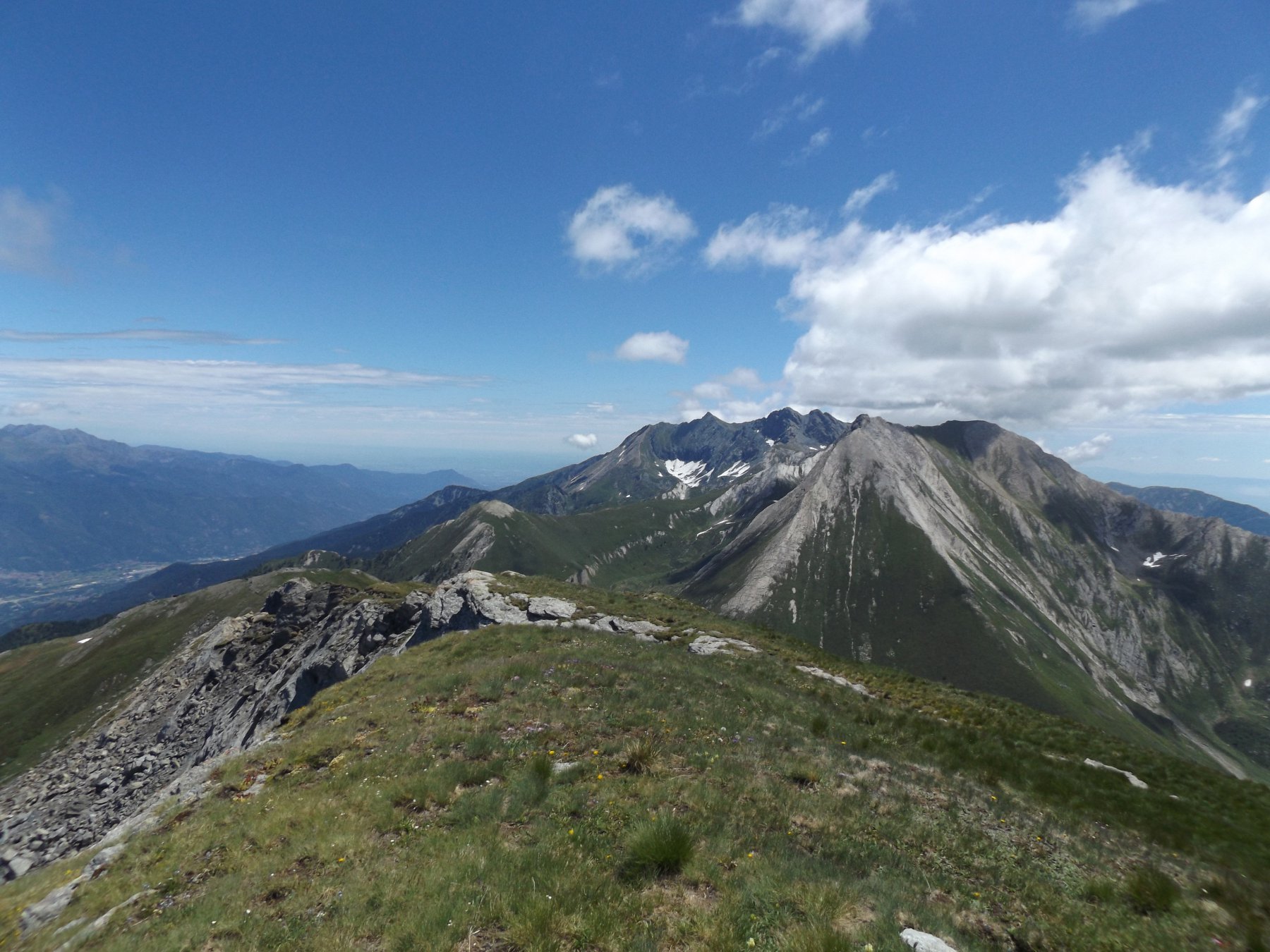
Anche sul Pintas, come su tutta la zona, sono presenti resti di fortificazioni.
Nelle vicinanze Mappa
Itinerari
13/11/2021 TO, Usseaux D+ 894 m E Sud
Assietta (Testa dell’) da Pian dell’Alpe
 50m
50m
06/10/2020 TO, Usseaux D+ 832 m E Sud
Vallette (Cima delle) da Pian dell’Alpe
 50m
50m
28/02/2020 TO, Usseaux D+ 434 m E Sud-Est
Alpe (Pian dell’) da Usseaux
 2Km
2Km
14/07/2024 TO, Usseaux D+ 250 m E Tutte
Usseaux, Il Sentiero dei Pensieri
 2Km
2Km
17/05/2025 TO, Usseaux D+ 650 m E Sud-Est
Col (Roc del) da Usseaux
 2Km
2Km
16/07/2026 TO, Usseaux D+ 673 m E Sud
Ciantiplagna (Cima) dal Colle delle Finestre
 2.1Km
2.1Km
01/06/2026 TO, Usseaux D+ 1340 m E Varie
Ciantiplagna (Cima) e Cima delle Vallette dal Colle delle Finestre per il Monte Pintas
 2.1Km
2.1Km
22/08/2020 TO, Usseaux D+ 513 m E Sud
Mezzodì (Punta del) dal Colle delle Finestre
2.1Km
16/08/2021 TO, Usseaux D+ 520 m E Varie
Fattière (Punta) dal Colle delle Finestre
 2.1Km
2.1Km
29/07/2025 TO, Usseaux D+ 600 m EE Nord-Ovest
Français Pelouxe (Monte) dal Colle delle Finestre
 2.5Km
2.5Km
Servizi
350m
2Km
La Placette Ristorante
Usseaux
2Km
Pian dell’alpe Rifugio
Usseaux
2Km
Cheese Bar Ristorante
Usseaux
2.1Km
Alpe Pintas Ristorante
Usseaux
2.1Km
Souvenir Rifugio
Usseaux
2.4Km
Il Nido dell’Aquila Ristorante
Usseaux
2.6Km
Edelweiss Ristorante
Usseaux
4.2Km
Meizon Blanco Ristorante
Fenestrelle
7.3Km