2.9Km
2.9Km
Note
 550m
650m
650m
650m
1.4Km
2.9Km
2.9Km
2.9Km
550m
650m
650m
650m
1.4Km
2.9Km
2.9Km
2.9Km
2.9Km
5.5Km
5.5Km
5.7Km
7.4Km
7.8Km
7.8Km
8Km
8.1Km
8.1Km
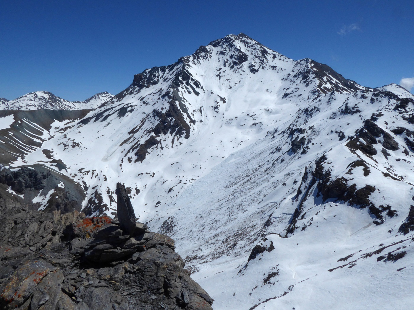
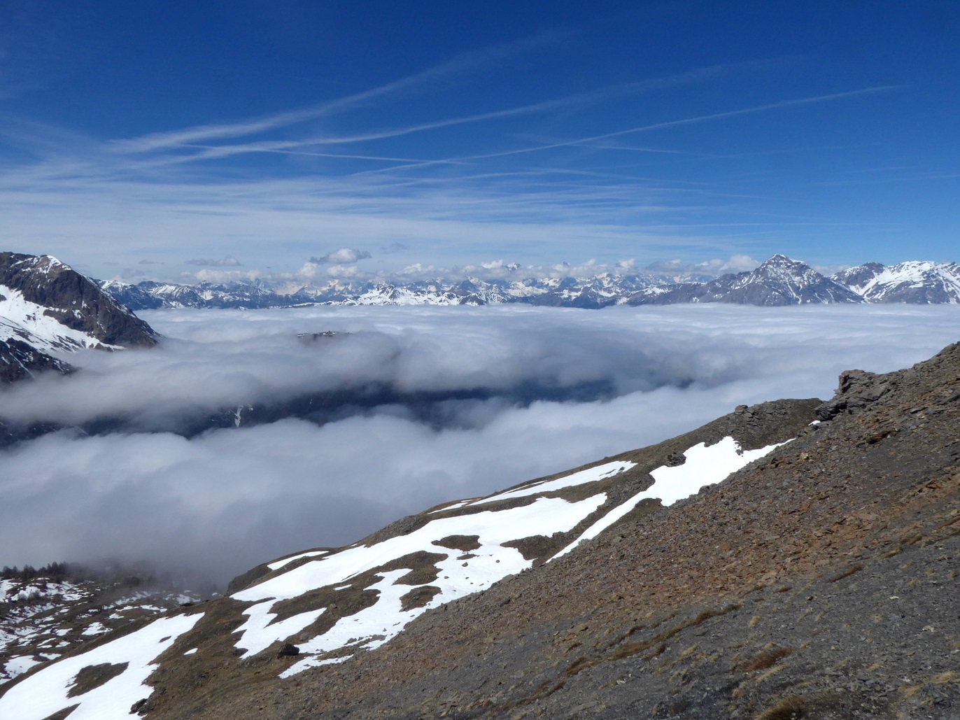
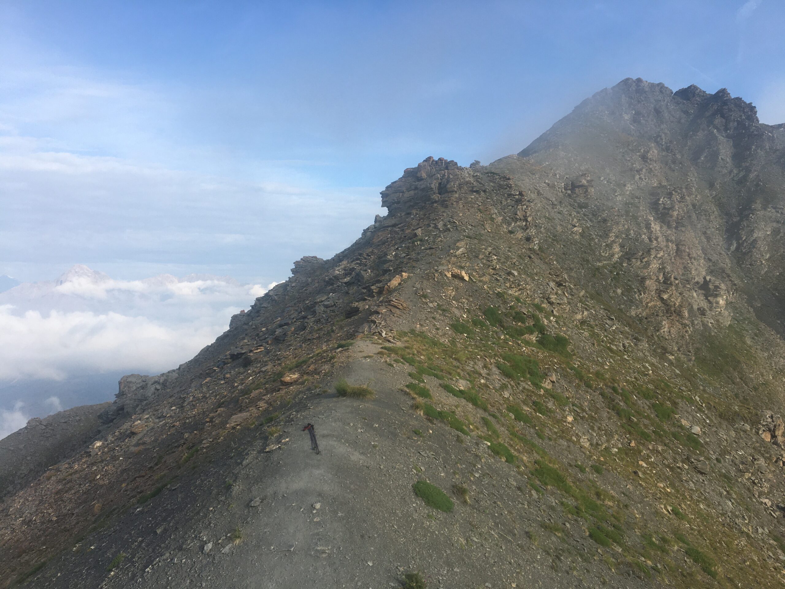
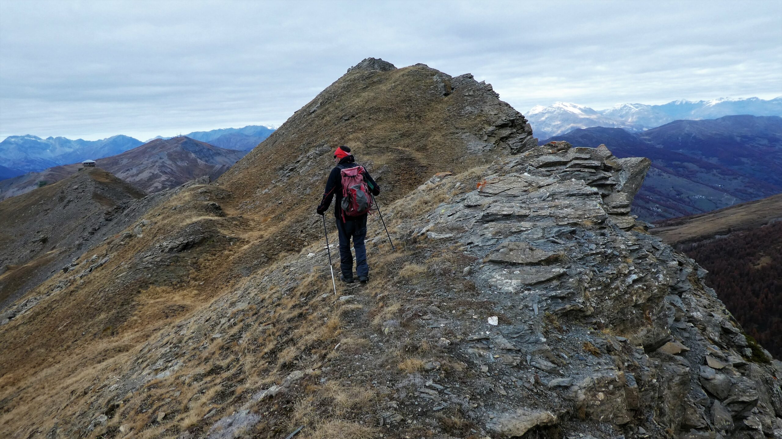
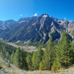
Percorso di cresta non difficile da affrontare con attenzione nei tratti esposti.
Avvicinamento
Da Torino a Sestriere. Parking nei pressi del bivio per il Chisonetto (versante Val Chisone a fianco campo da golf) o poco sopra, all'arrivo della cabinovia.
Descrizione
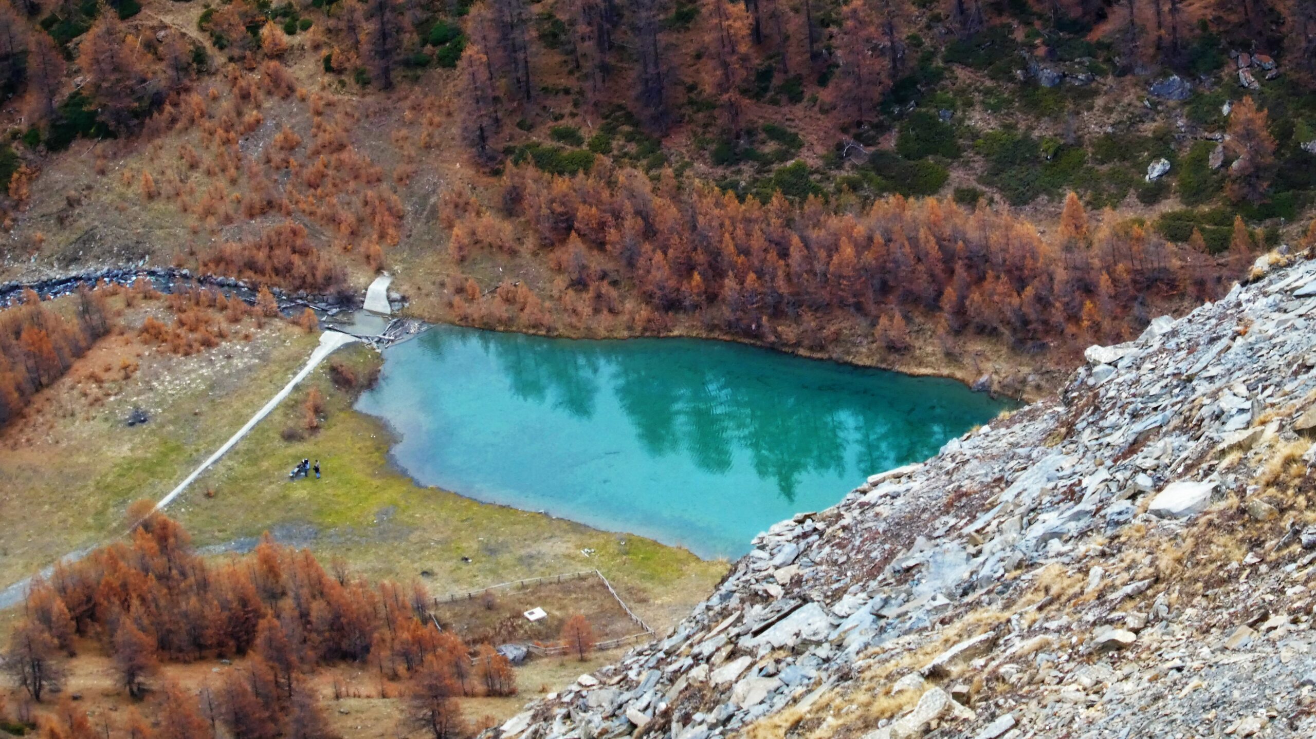
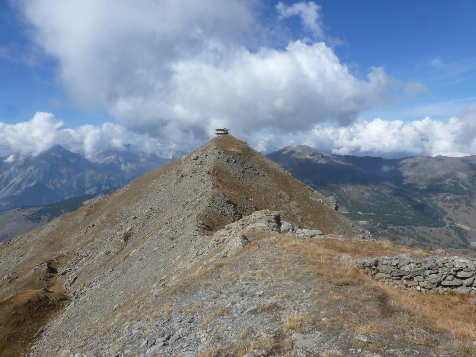
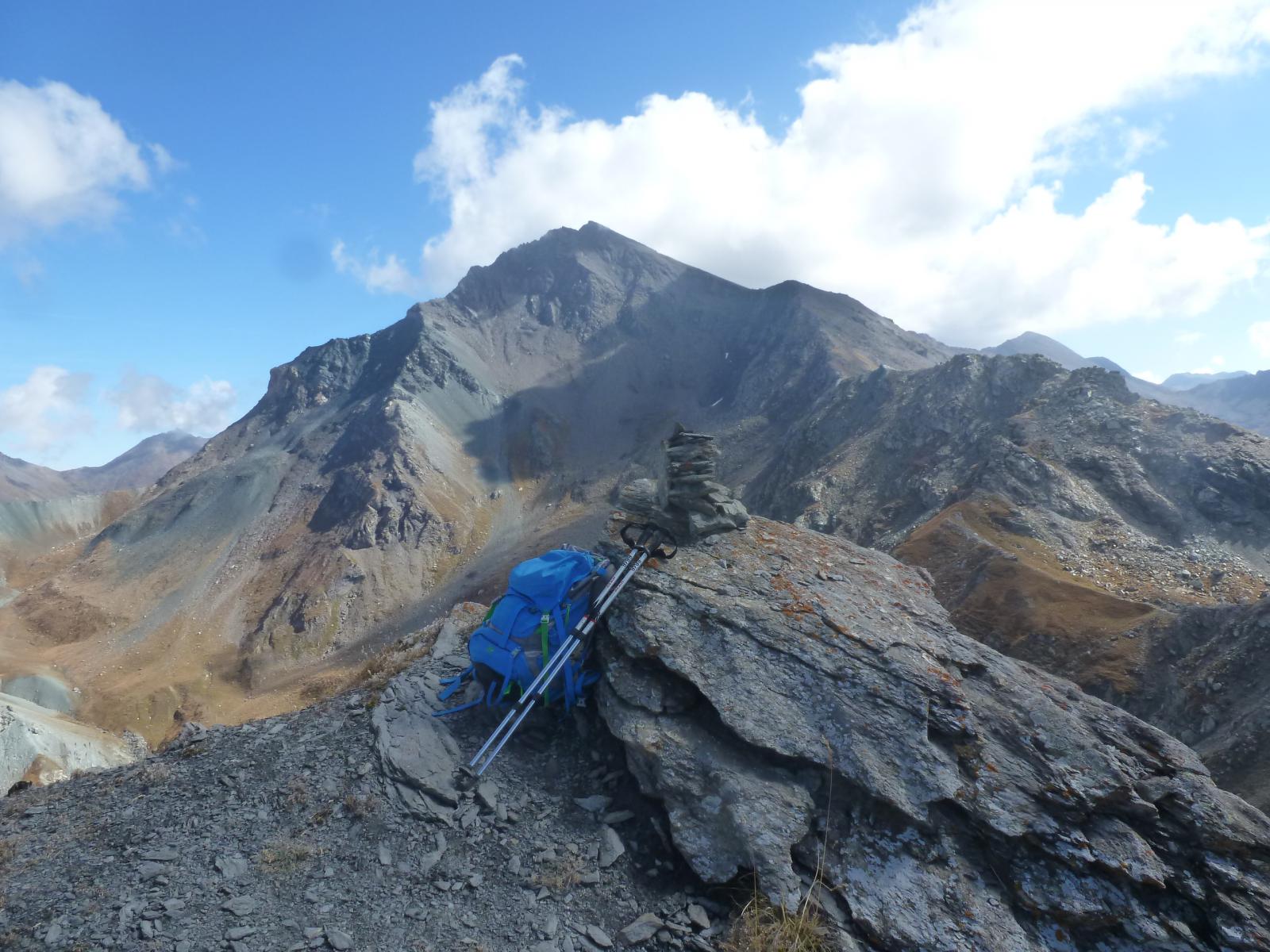
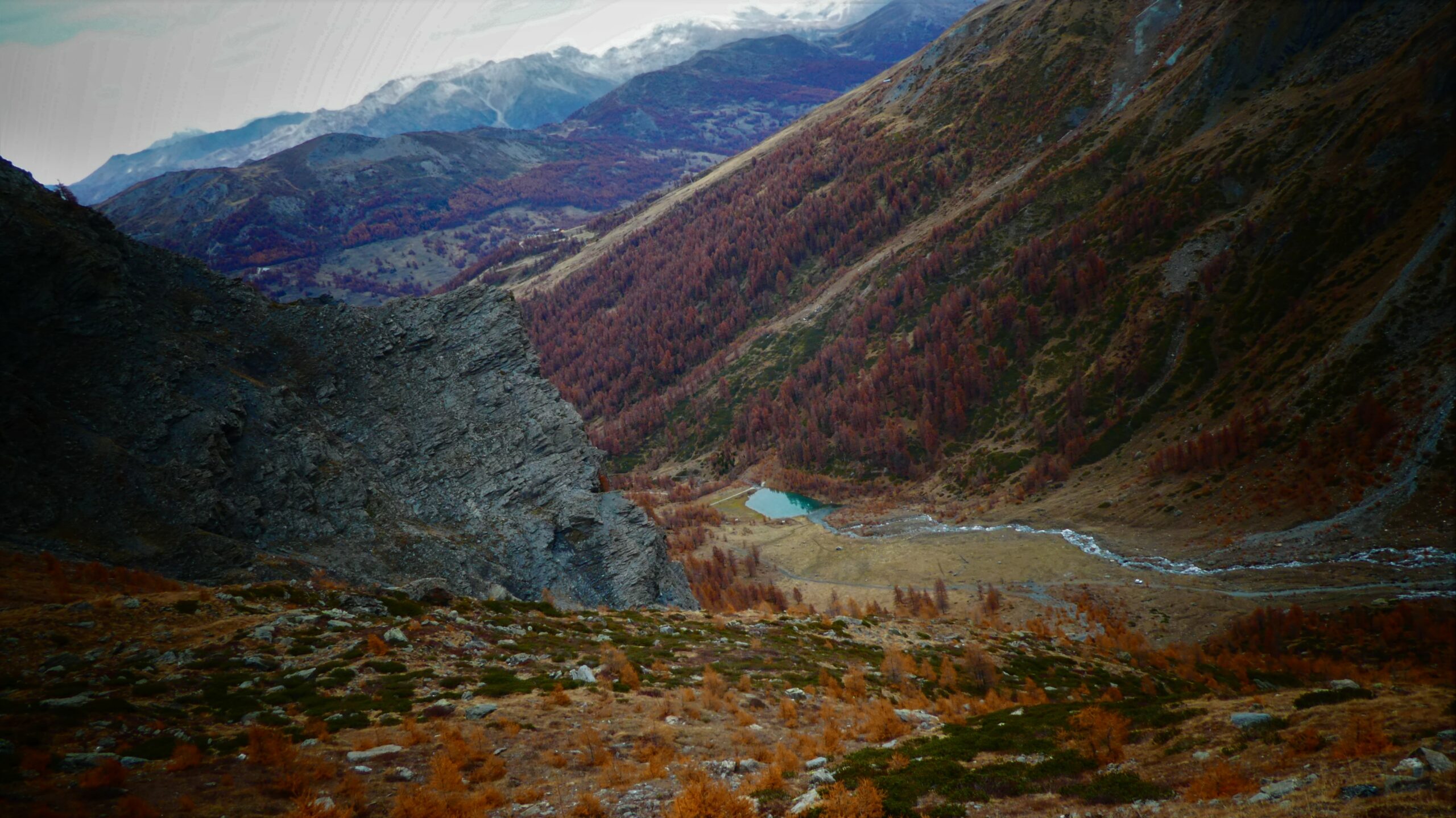
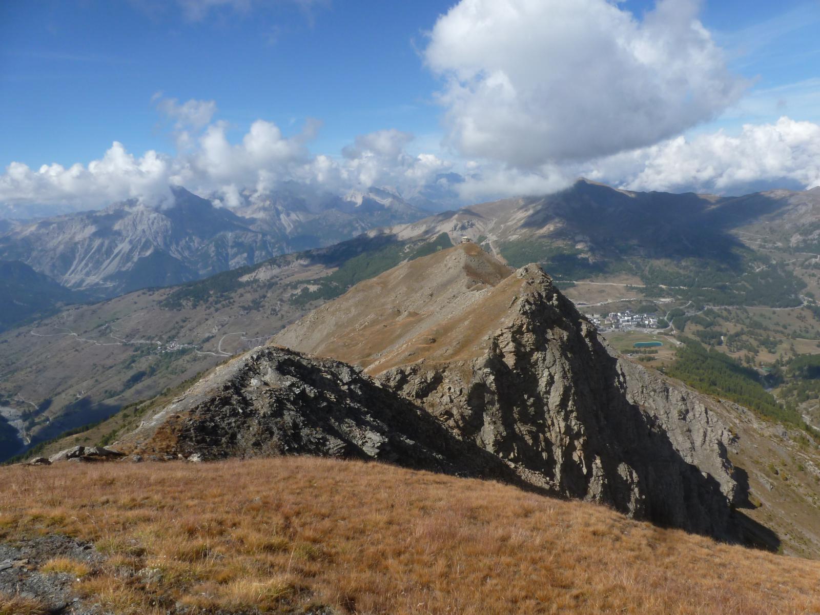
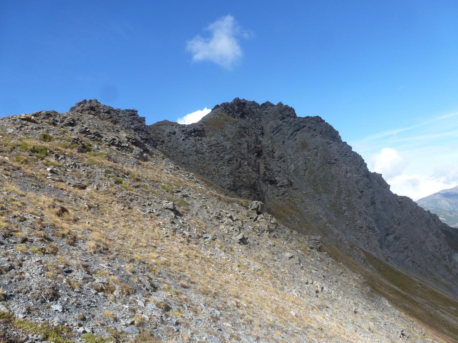
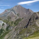
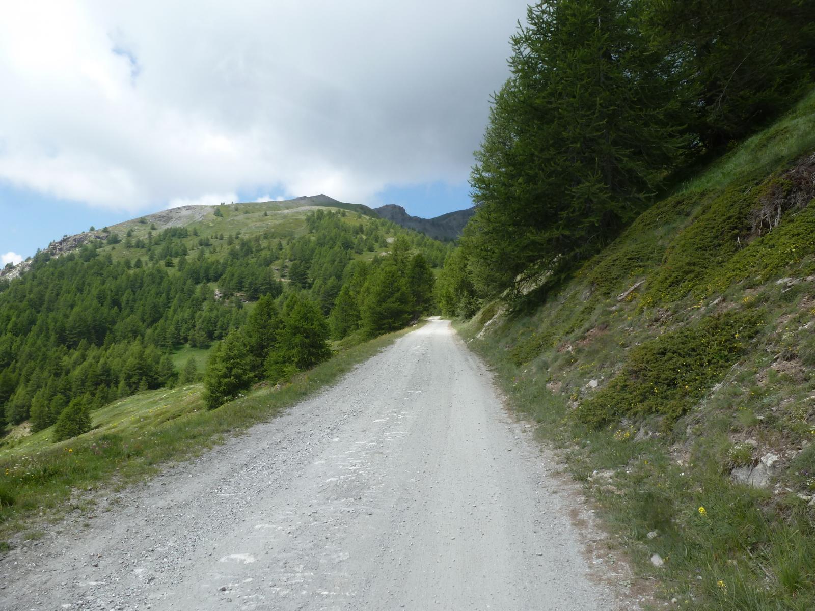
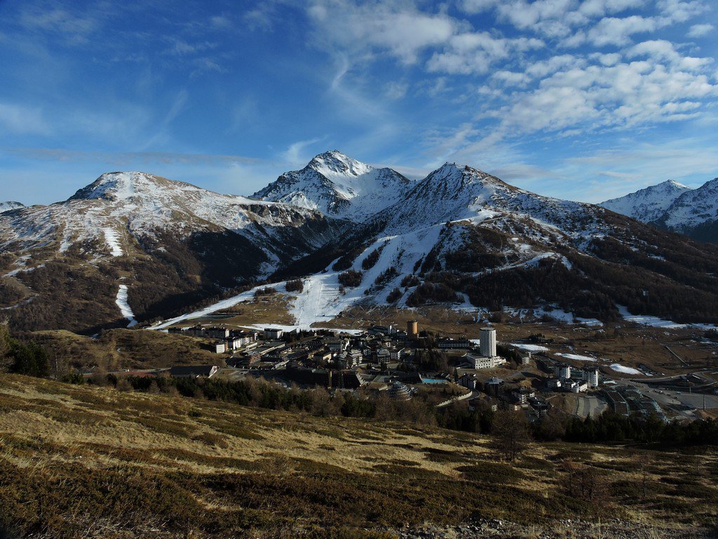
Dalla diga del Chisonetto, o direttamente dal Sestriere attraverso il sentiero per il Monte Alpette (vedi itinerario n. 6087 della Rognosa di Sestriere), percorrere il sentiero (palina) che, dapprima in salita, e poi con un lungo traverso verso Ovest, per riprendere con uno strappo finale, porta al Passo di San Giacomo (m. 2683). Da qui volgere ad Ovest su tracce di sentiero che, inizialmente sul filo di cresta e poi precauzionalmente poco sotto sul versante Argentiere, attraversando sfasciumi instabili su qualche salto, portano all’aerea cima del Querellet (m. 2726). Da qui procedere in direzione Nord Ovest verso l’evidente cima del Sises (m. 2658) da cui si scende seguendo le piste ed avendo come riferimento il bar/rifugio Alpette per giungere al punto di partenza.
- Cartografia:
- Fraternali 1:25000 n. 2 - Alta Valle di Susa/Alta Valle Chisone
Nelle vicinanze Mappa
Itinerari
19/07/2026 TO, Sestriere D+ 1246 m EE Nord-Ovest
Rognosa del Sestriere (Punta) da Sestriere per il Passo di San Giacomo
 550m
550m
06/10/2024 TO, Sestriere D+ 631 m E Sud-Est
Fraiteve (Monte) da Sestriere
650m
04/01/2026 TO, Sestriere D+ 390 m E Sud
Basset (Col) da Sestriere
 650m
650m
12/11/2025 TO, Sestriere D+ 530 m E Sud
Fraiteve (Monte) e Pitre de l’Aigle da Sestriere
 650m
650m
13/12/2015 TO, Sestriere D+ 182 m E Est
Rotta (Monte) da Sestriere
 650m
650m
29/06/2025 TO, Sestriere D+ 930 m E Nord-Ovest
Banchetta (Passo della) da Sestriere Borgata per il vallone del Chisonetto
 1.4Km
1.4Km
29/09/2024 TO, Sauze di Cesana D+ 650 m E Sud
Argentera (Grange) da Bessen Haut, anello della Valle Argentera per il sentiero Balcone e Brusà del Plan
 2.9Km
2.9Km
29/09/2024 TO, Sauze di Cesana D+ 1150 m EE Sud-Ovest
Giornalet (Monte) da Bessen Haut per il versante SO
 2.9Km
2.9Km
01/11/2023 TO, Sauze di Cesana D+ 380 m T Varie
Ratazzo Ugo (Bivacco) da Bessen Haut
 2.9Km
2.9Km
28/07/2025 TO, Sauze di Cesana D+ 1200 m EE Ovest
Fauri Sud (Punta) da Bessen Haut
2.9Km
Servizi
2.9Km
5.5Km
La capanna del sole Ristorante
Pragelato
5.5Km
Al Mulino Ristorante
Pragelato
5.7Km
Mulino di Laval Rifugio
Pragelato
7.4Km
Centro Ristorante
Cesana Torinese
7.8Km
La Fontana del Thures Rifugio
Cesana Torinese
7.8Km
Troncea Rifugio
Pragelato
8Km
L’Cantun B&B
Sauze D'oulx
8.1Km
orto del frate Ristorante
Sauze d'Oulx
8.1Km