6.1Km
6.1Km
Note
 0m
0m
0m
0m
0m
50m
50m
50m
50m
50m
0m
0m
0m
0m
0m
50m
50m
50m
50m
50m
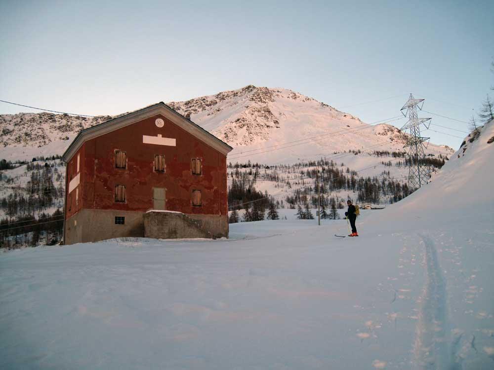
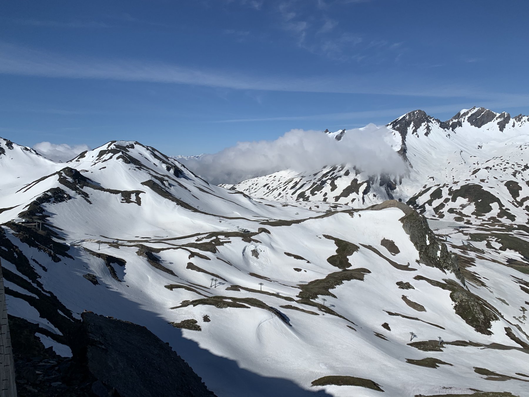
Si attraversano gli impianti sciistici di La Thuile
Avvicinamento
.
Descrizione
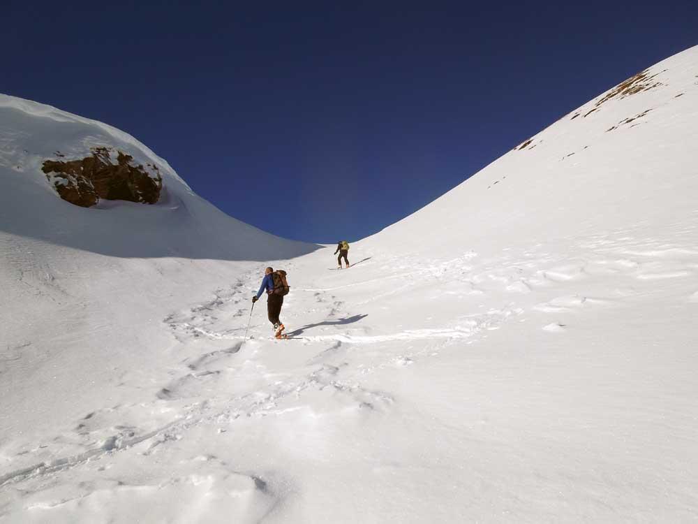
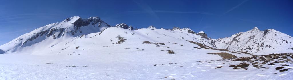
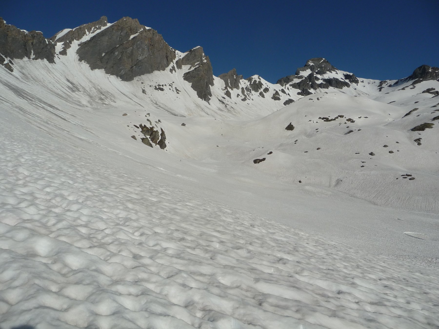
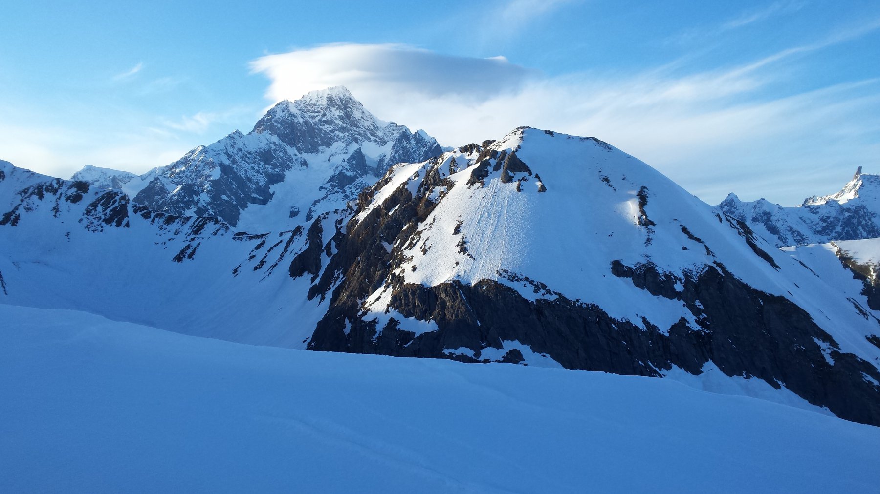
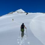
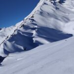
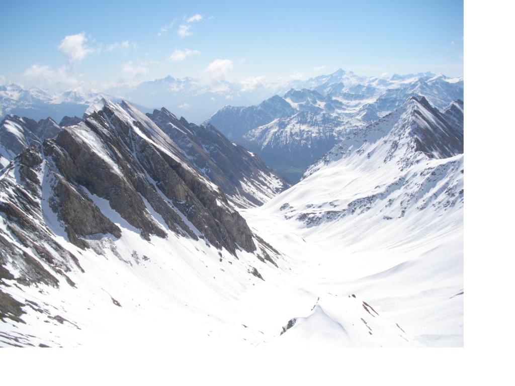
Parcheggiata la vettura a Pont Serrand,si segue ,senza percorso obbligato, la statale innevata fino a raggiungere il Lago di Verney, (ovviamente ghiacciato) si prosegue ,a destra per ripidi dossi fino a raggiungere il colle della Pointe Rousse , passando sotto l’Aiguilles de l’Hermite.
Nelle vicinanze Mappa
Itinerari
25/05/2026 AO, La Thuile D+ 1516 m BS Sud-Est
Lechaud (Punta) da Pont Serrand
 0m
0m
30/11/2022 AO, La Thuile D+ 900 m BS Nord
Chaz Duraz (Monte) da Pont Serrand
 0m
0m
26/04/2025 AO, La Thuile D+ 1240 m BS Sud
Orgère (Col d’) da Pont Serrand
 0m
0m
20/02/2024 AO, La Thuile D+ 1488 m BS Sud-Ovest
Ouille (Monte) da Pont Serrand
 0m
0m
20/11/2023 AO, La Thuile D+ 1116 m BS Sud
Laityre (Mont) da Pont Serrand
 0m
0m
23/03/2019 AO, La Thuile D+ 1400 m OSA, F Sud-Est
Chavannette (Mont) da Pont Serrand per il Canale SE
 50m
50m
26/04/2011 AO, La Thuile D+ 1325 m BS Sud
Favre (Punta) da Pont Serrand, anello per il Vallone di Chavannes e discesa per il Vallone Youla
 50m
50m
01/02/2026 AO, La Thuile D+ 1020 m BS Sud-Est
Combe Varin (Monte) da Pont Serrand
 50m
50m
19/04/2025 AO, La Thuile D+ 1105 m OS Sud
Belleface Bas (Monte) da Pont Serrand
 50m
50m
06/02/2024 AO, La Thuile D+ 1650 m BSA, F Tutte
Berrio Blanc e Orgère (Colli) da Pont Serrand
 50m
50m