6.1Km
6.1Km

Note
 0m
0m
0m
0m
0m
50m
50m
50m
50m
50m
0m
0m
0m
0m
0m
50m
50m
50m
50m
50m
Mappa CTR 1/50.000 con itinerario tracciato, allegata
Avvicinamento
.
Descrizione
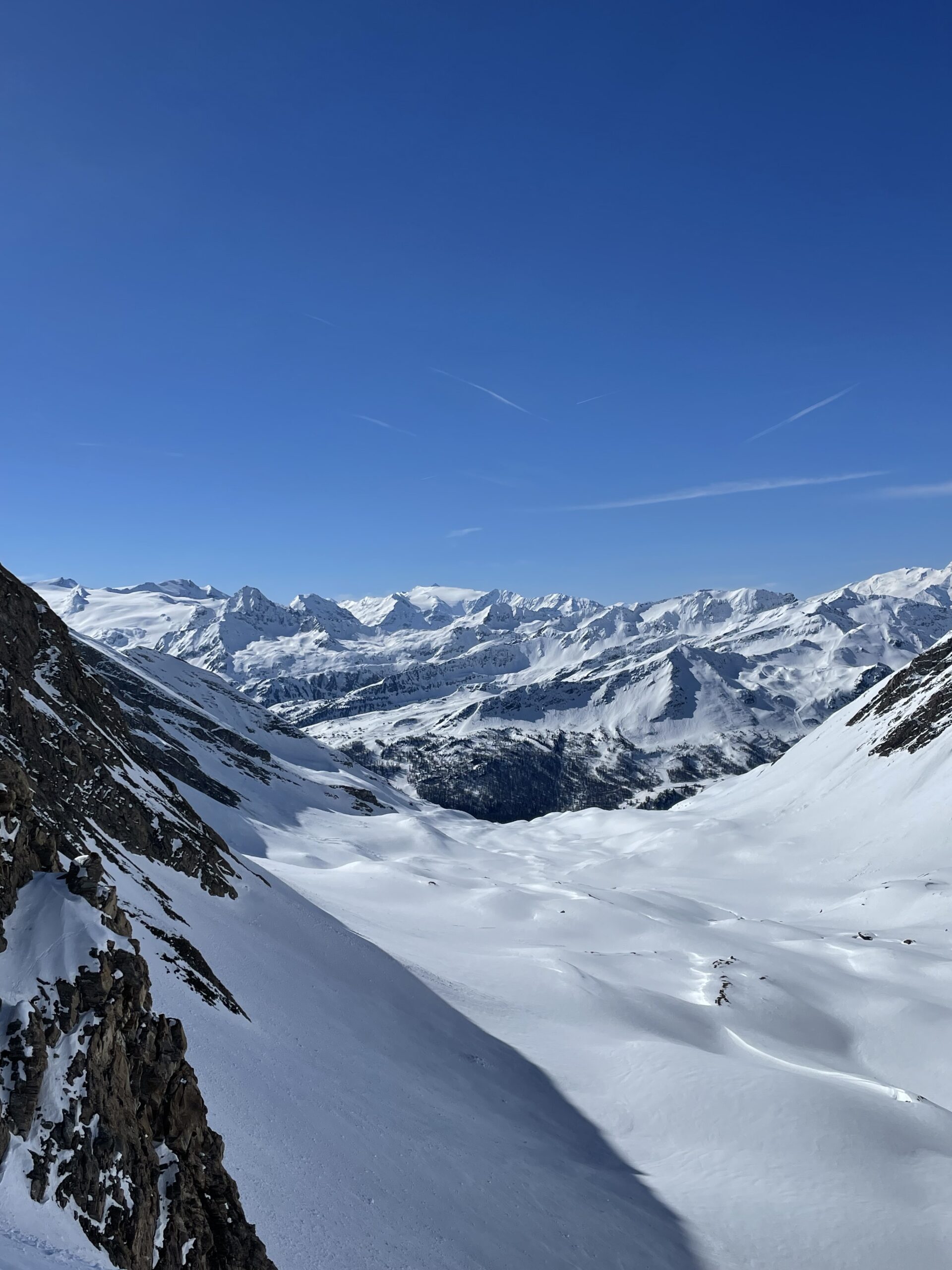
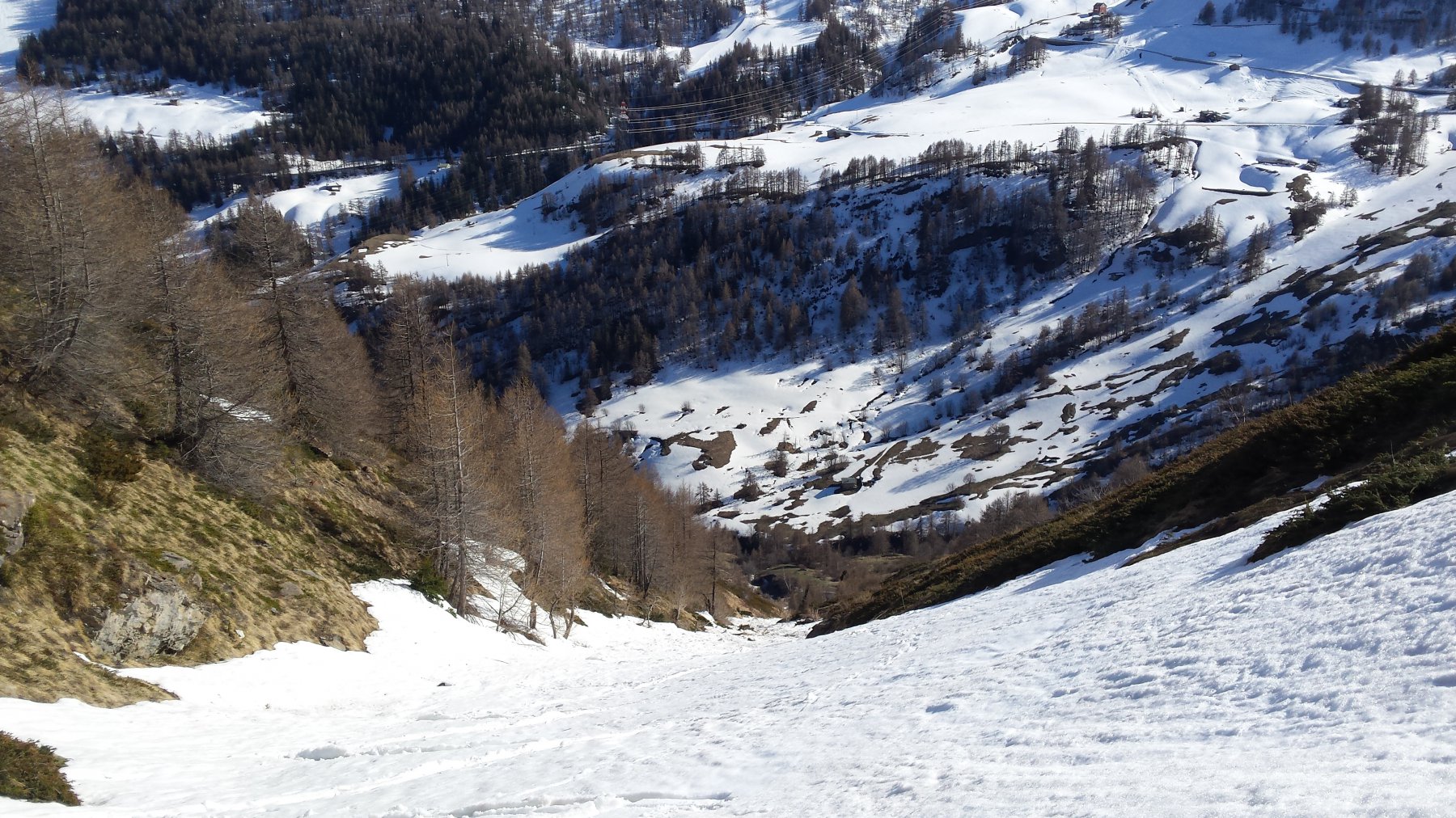
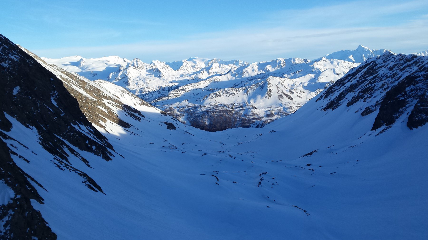
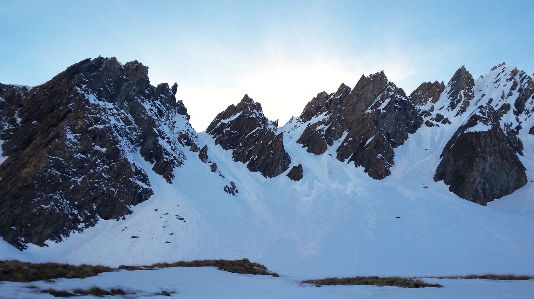
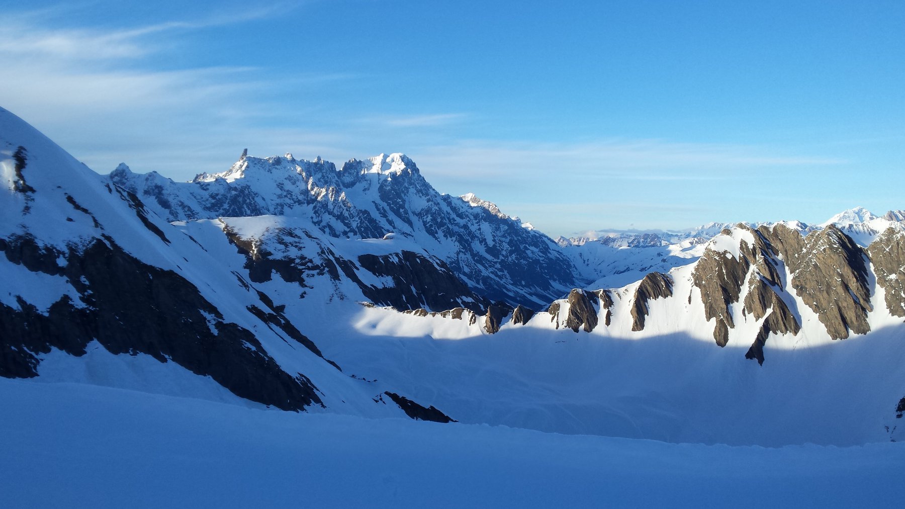
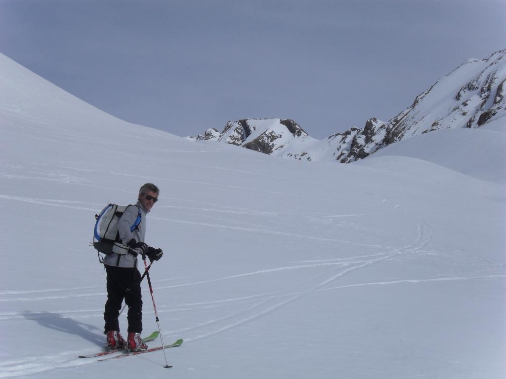
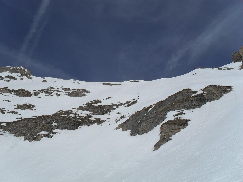
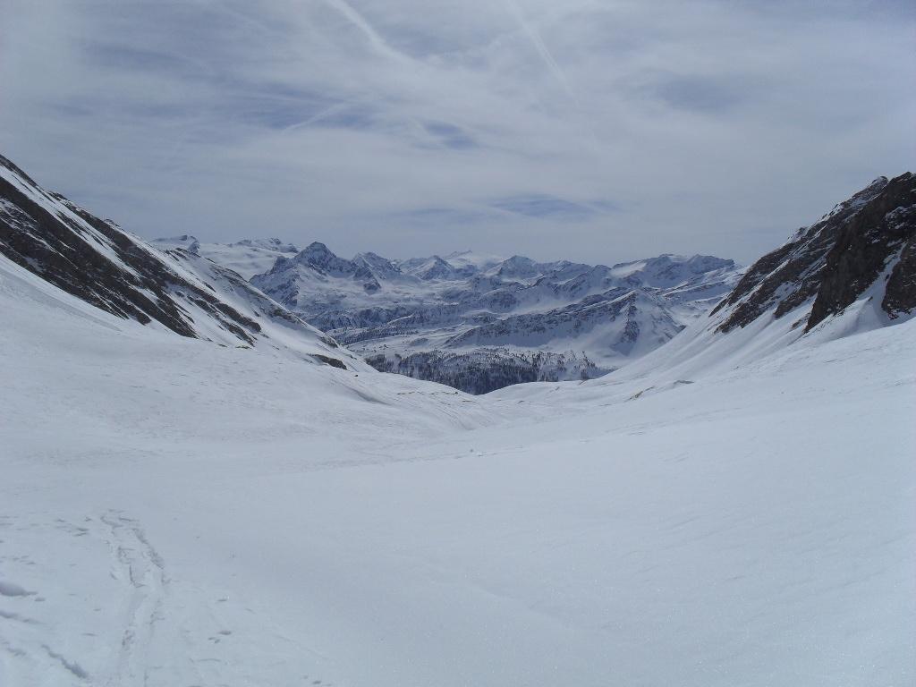
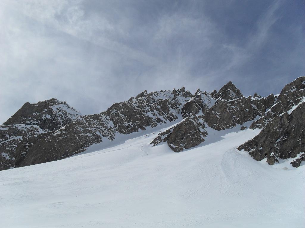
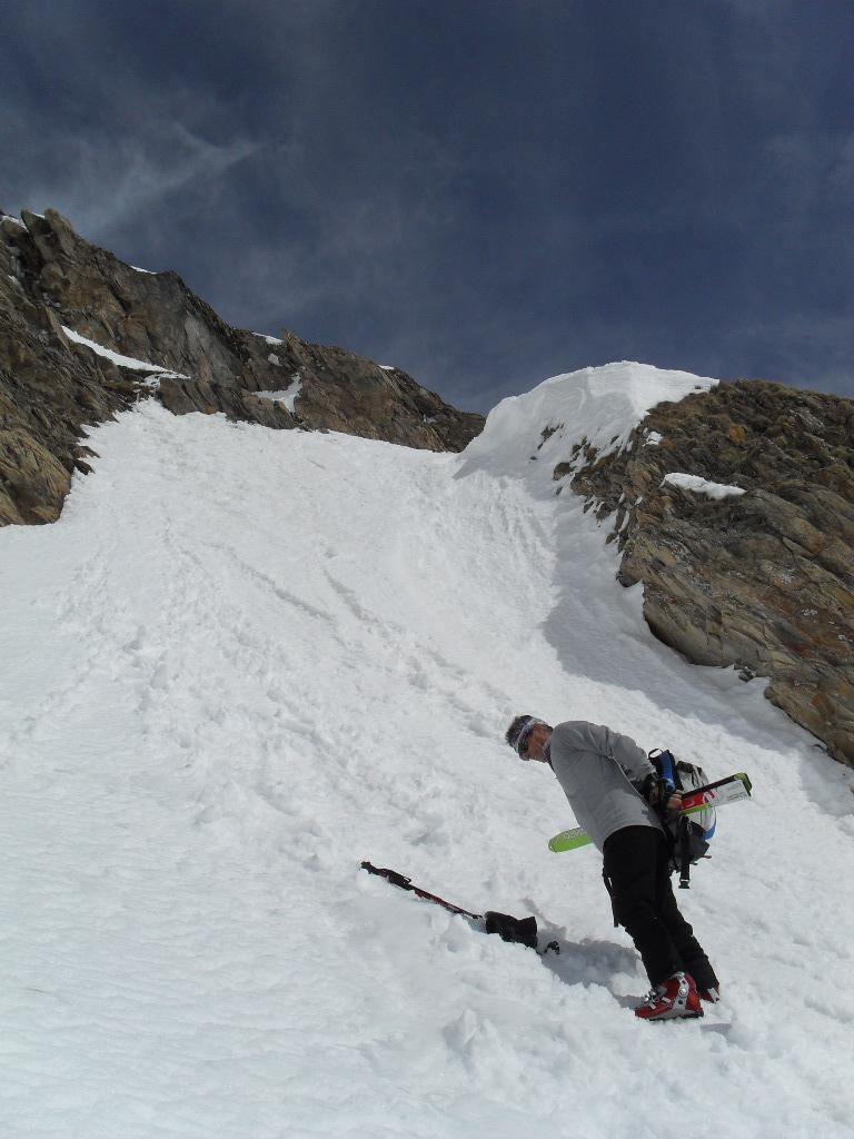
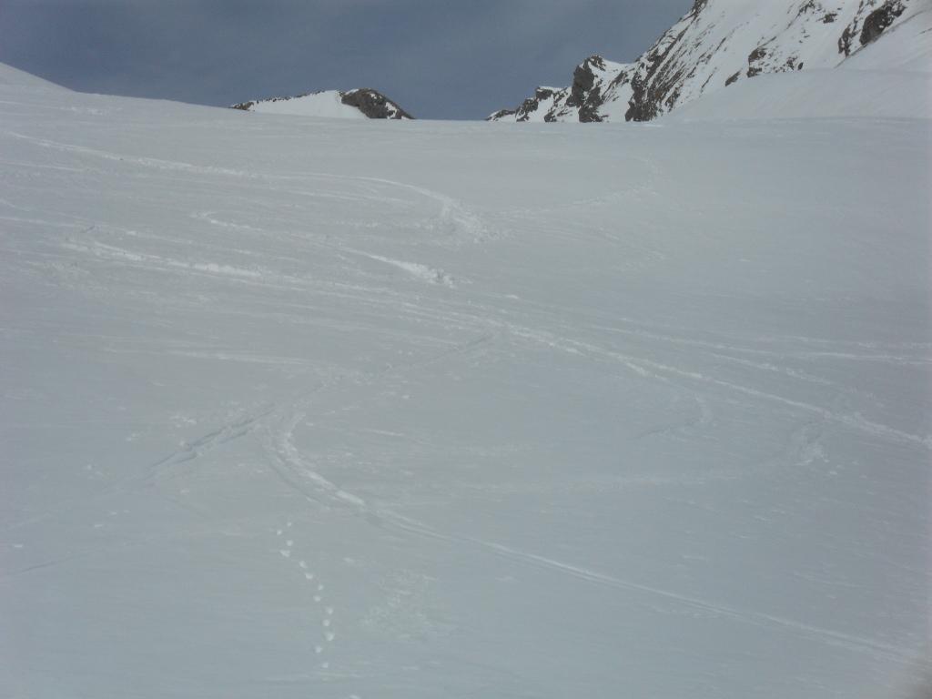
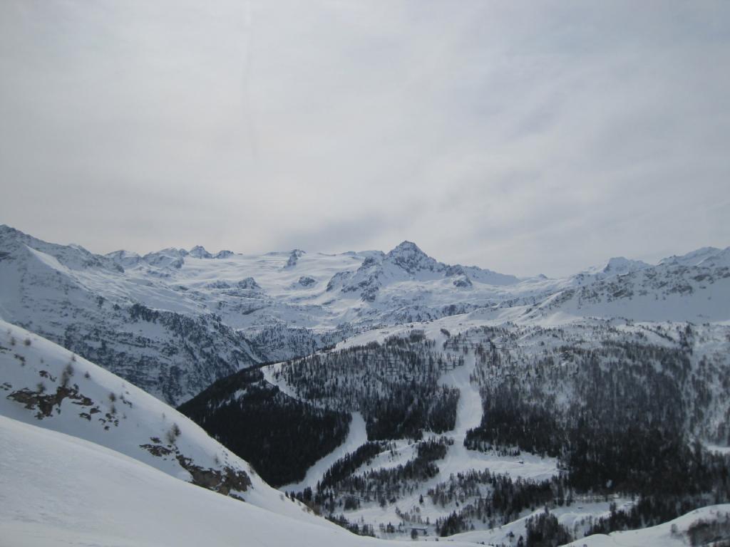
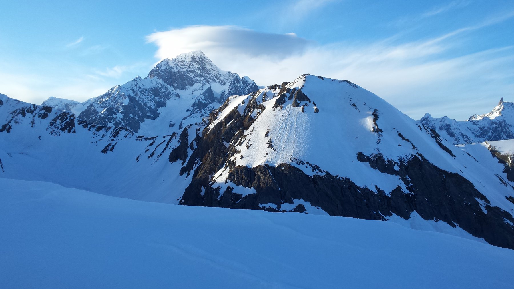
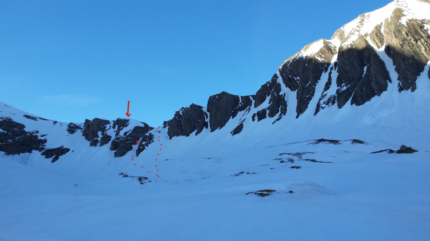
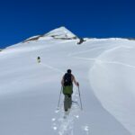
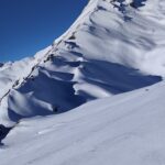
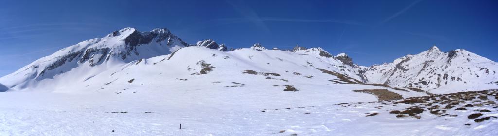
Da Pont Serrand seguire la strada del vallone delle Chavannes. All’altezza dell’alpeggio degli Orgères prendere la direzione del vallone omonimo da pendii piuttosto ripidi intervallati da micro rilievi fino all’entrata del vallone. Al suo ingresso la pendenza si ammorbidisce nettamente, il vallone Orgeres è lungo, 2 piccoli risalti permettono di prendere un po’ di dislivello. Bisogna attendere la fine del vallone e l’inizio del canale che conduce al colle degli Orgeres per capire che la quotazione indicata è valida soprattutto per gli ultimi 100-150 metri. Sul finale ci sono 2 canali situati sulla destra del vallone salendo. Le pendenze sono tra 35 e 40° (ramponi utili).
- Bibliografia:
- P.Giglio, E. Noussan. Zanichelli. Sci-Alpinismo in Val d’Aosta. N°52
Nelle vicinanze Mappa
Itinerari
30/11/2022 AO, La Thuile D+ 900 m BS Nord
Chaz Duraz (Monte) da Pont Serrand
 0m
0m
25/05/2026 AO, La Thuile D+ 1516 m BS Sud-Est
Lechaud (Punta) da Pont Serrand
 0m
0m
20/02/2024 AO, La Thuile D+ 1488 m BS Sud-Ovest
Ouille (Monte) da Pont Serrand
 0m
0m
20/11/2023 AO, La Thuile D+ 1116 m BS Sud
Laityre (Mont) da Pont Serrand
 0m
0m
01/12/2013 AO, La Thuile D+ 948 m MS Sud-Est
Rousse (Col de la Pointe) da Pont Serrand
 0m
0m
23/03/2019 AO, La Thuile D+ 1400 m OSA, F Sud-Est
Chavannette (Mont) da Pont Serrand per il Canale SE
 50m
50m
26/04/2011 AO, La Thuile D+ 1325 m BS Sud
Favre (Punta) da Pont Serrand, anello per il Vallone di Chavannes e discesa per il Vallone Youla
 50m
50m
01/02/2026 AO, La Thuile D+ 1020 m BS Sud-Est
Combe Varin (Monte) da Pont Serrand
 50m
50m
06/02/2024 AO, La Thuile D+ 1650 m BSA, F Tutte
Berrio Blanc e Orgère (Colli) da Pont Serrand
 50m
50m
19/04/2025 AO, La Thuile D+ 1105 m OS Sud
Belleface Bas (Monte) da Pont Serrand
 50m
50m