6.1Km
6.1Km

Avvicinamento
 0m
50m
50m
50m
50m
50m
50m
50m
50m
50m
0m
50m
50m
50m
50m
50m
50m
50m
50m
50m
.
Descrizione
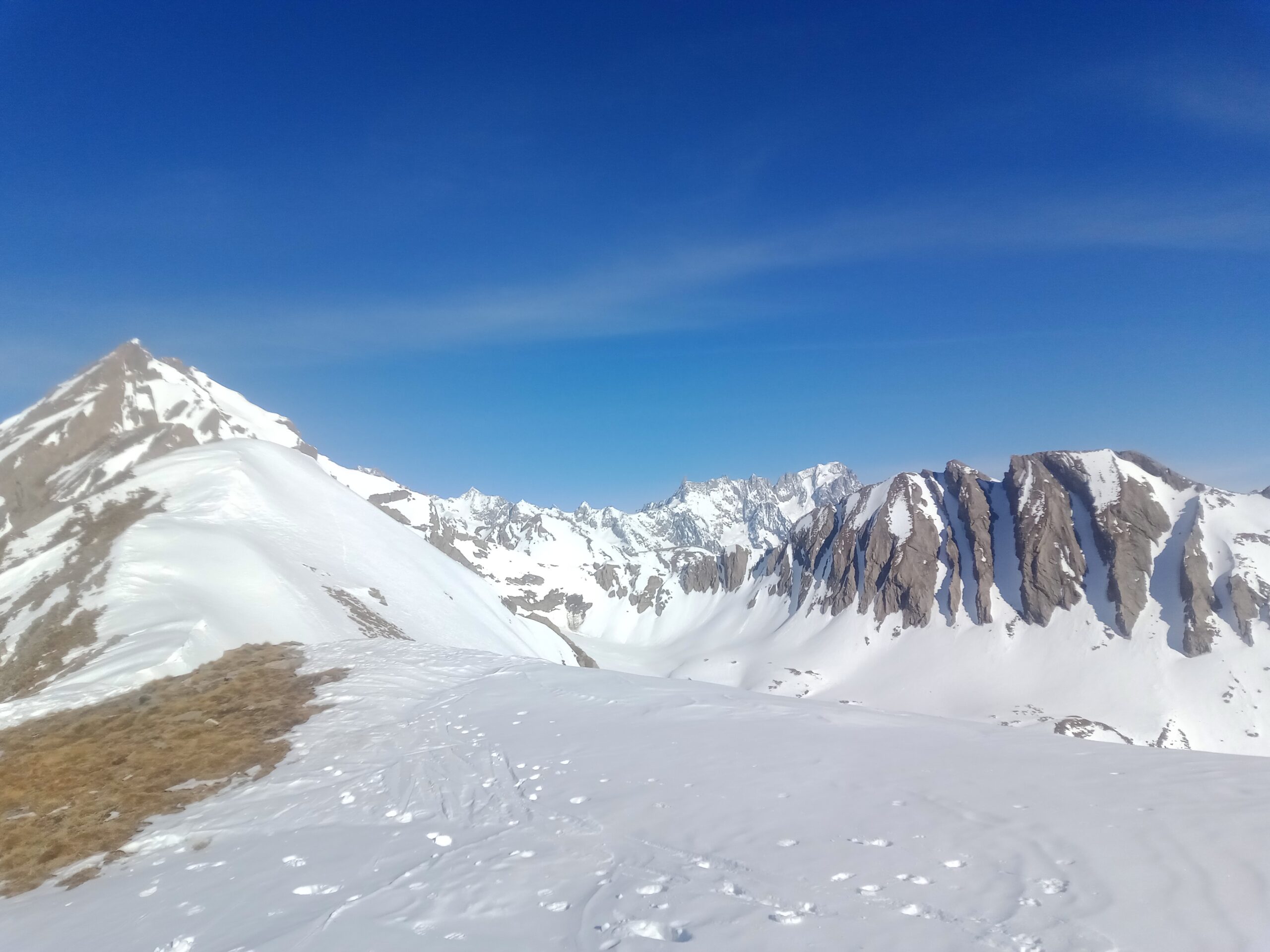
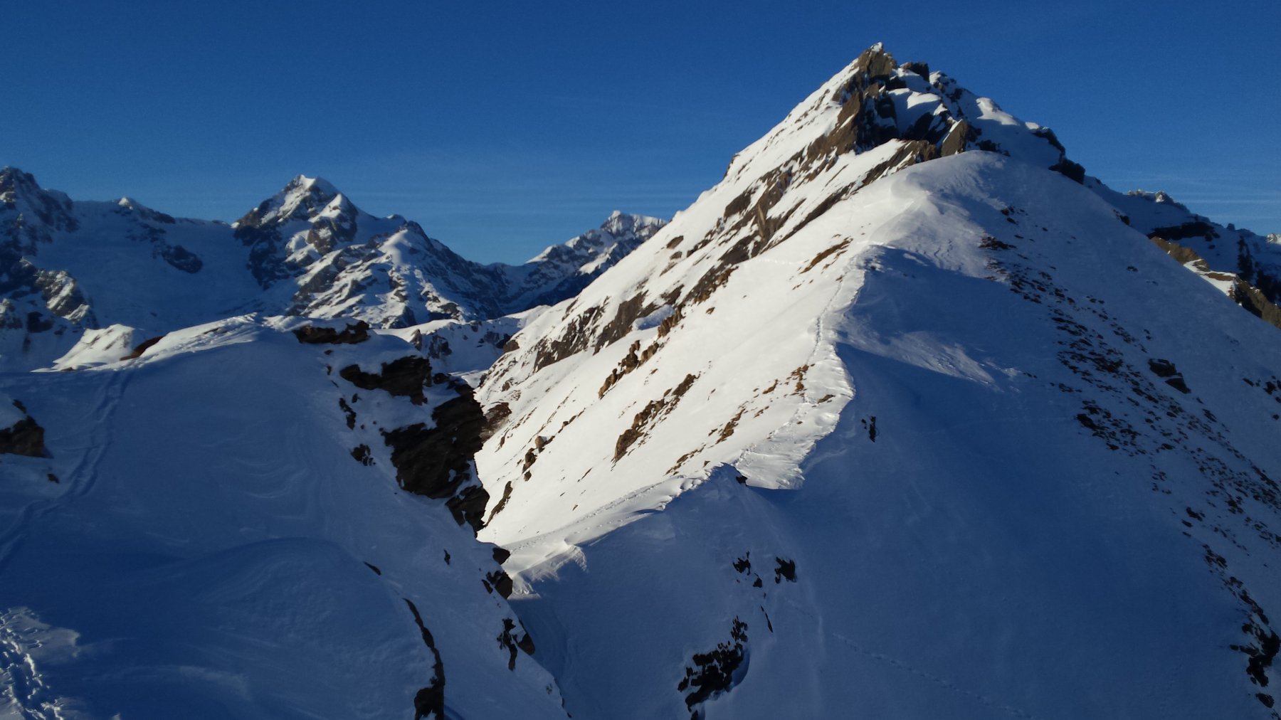
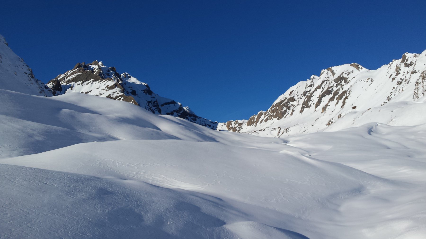
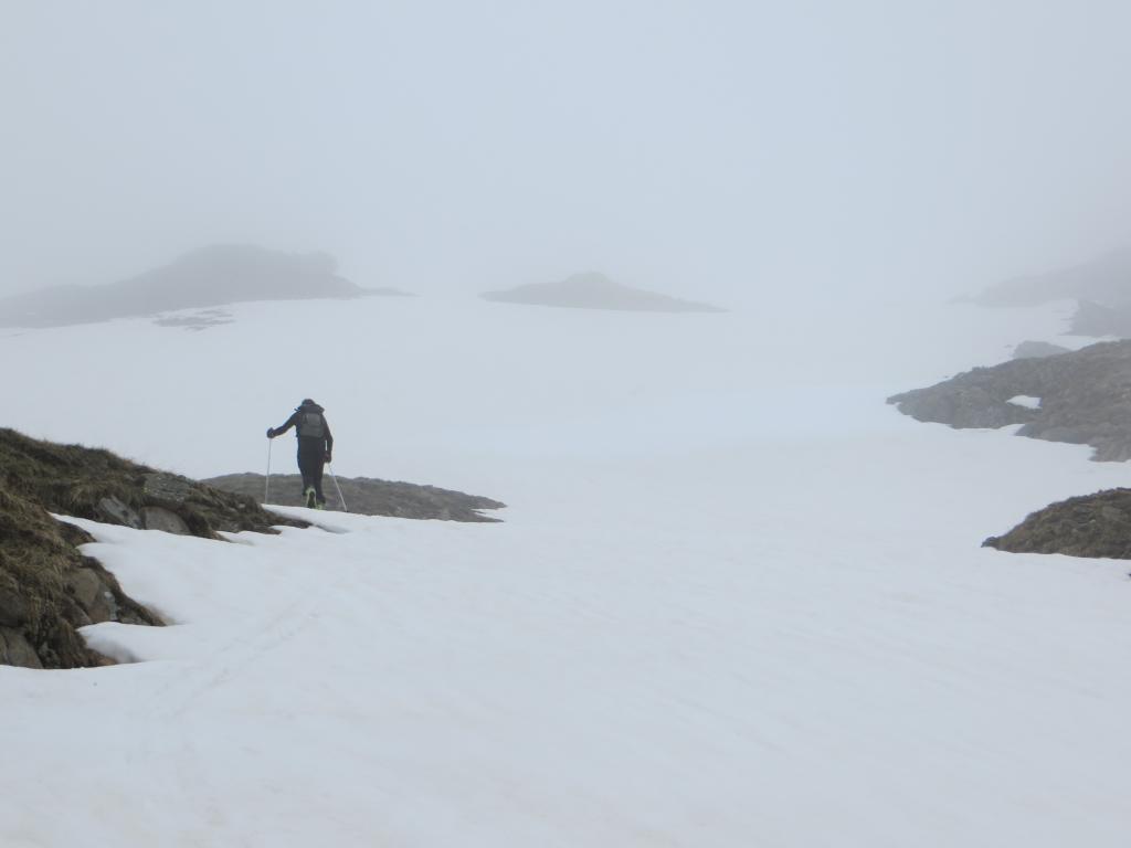
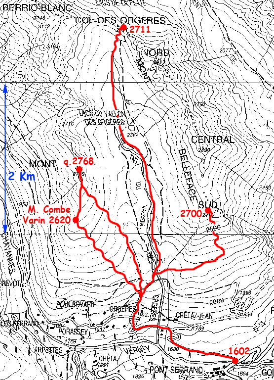
Poco prima del ponte sulla Dora di Verney si percorre la strada del Colle di Chavannes, sino alle baite di Orgère (m.1884). Di qui, si sale costantemente in direzione Nord sugli ampi, ma sostenuti pendii che portano sulla cima. E’ possibile proseguire con gli sci e poi a piedi lungo la panoramica Costa di Langeron.
- Cartografia:
- L’Escursionista Editore 1/25.000 n° 2
- Bibliografia:
- Aruga/Poma, Dal Monviso al Sempione, CDA, n° 63.
Nelle vicinanze Mappa
Itinerari
26/04/2011 AO, La Thuile D+ 1325 m BS Sud
Favre (Punta) da Pont Serrand, anello per il Vallone di Chavannes e discesa per il Vallone Youla
 0m
0m
23/03/2019 AO, La Thuile D+ 1400 m OSA, F Sud-Est
Chavannette (Mont) da Pont Serrand per il Canale SE
 50m
50m
01/12/2013 AO, La Thuile D+ 948 m MS Sud-Est
Rousse (Col de la Pointe) da Pont Serrand
 50m
50m
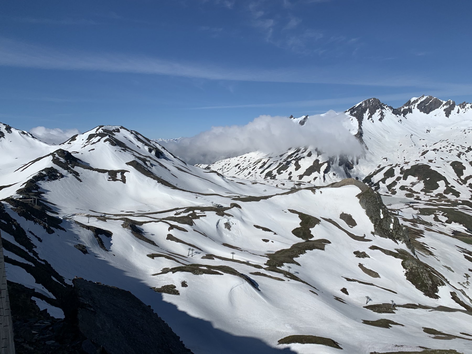
30/11/2022 AO, La Thuile D+ 900 m BS Nord
Chaz Duraz (Monte) da Pont Serrand
 50m
50m
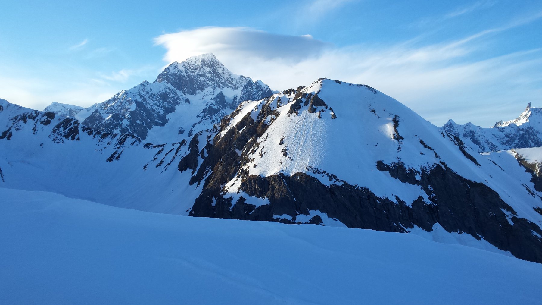
26/04/2025 AO, La Thuile D+ 1240 m BS Sud
Orgère (Col d’) da Pont Serrand
 50m
50m
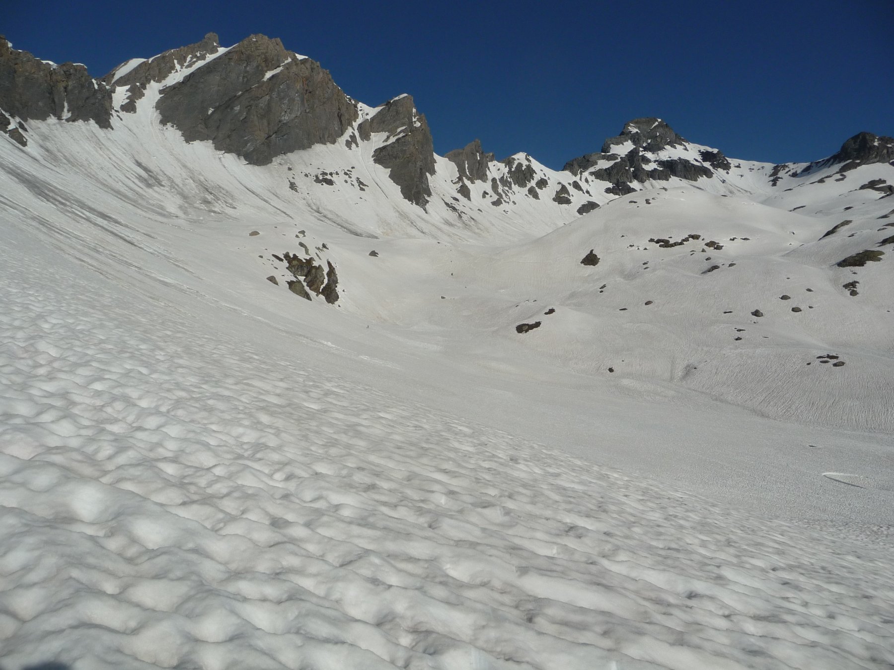
25/05/2026 AO, La Thuile D+ 1516 m BS Sud-Est
Lechaud (Punta) da Pont Serrand
 50m
50m
20/02/2024 AO, La Thuile D+ 1488 m BS Sud-Ovest
Ouille (Monte) da Pont Serrand
 50m
50m
20/11/2023 AO, La Thuile D+ 1116 m BS Sud
Laityre (Mont) da Pont Serrand
 50m
50m
18/04/2015 AO, La Thuile D+ 1200 m MS Sud-Ovest
Fortin (Mont) da Pont Serrand
 50m
50m
19/04/2025 AO, La Thuile D+ 1105 m OS Sud
Belleface Bas (Monte) da Pont Serrand
 50m
50m