950m
950m


Avvicinamento
 0m
50m
50m
50m
50m
50m
50m
50m
50m
0m
50m
50m
50m
50m
50m
50m
50m
50m
Da Borgo San Dalmazzo si risale interamente la Valle Stura di Demonte fino al Colle della Maddalena, da qui si può scegliere su 3 punti diversi da dove iniziare la gita.
1. Dal Colle della Maddalena lasciando l'auto nel grosso parcheggio.
2. Si scende per 1 km in territorio francese lasciando l'auto nei pressi del ponte sul torrente Oronaye (le Pontet)
3. Si scende fino a Larche, dove tramite una sterrata che scende sul torrente Ubayette, si può raggiungere poi le Pont Rouge (parcheggio adibito) proprio all'inizio del Vallon du Lauzanier. Questa soluzione abbrevia un po' il percorso ed evita la leggera (ma fastidiosa) risalita al ritorno per le soluzioni 1/2.
Descrizione
1. Dal Colle della Maddalena lasciando l'auto nel grosso parcheggio.
2. Si scende per 1 km in territorio francese lasciando l'auto nei pressi del ponte sul torrente Oronaye (le Pontet)
3. Si scende fino a Larche, dove tramite una sterrata che scende sul torrente Ubayette, si può raggiungere poi le Pont Rouge (parcheggio adibito) proprio all'inizio del Vallon du Lauzanier. Questa soluzione abbrevia un po' il percorso ed evita la leggera (ma fastidiosa) risalita al ritorno per le soluzioni 1/2.
Dal Colle della Maddalena si segue il sentiero sul lato sinistro (discesa versante francese) che passa tra i pascoli e poi scende per circa 100 m fino a raggiungere l’imbocco del Vallon du Lauzanier, al Pont Rouge.
Da le Pontet si segue il sentiero in discesa verso il Vallon du Lauzanier, che in breve si congiunge con il percorso del Colle della Maddalena.
Dal Pont Rouge 1903 m si segue la sterrata quasi pianeggiante che costeggia il torrente Ubayette. Quando la sterrata termina diventa un bel sentiero, quasi sempre in dolce pendenza che man mano si alza rispetto al corso d’acqua restando sul margine destro del vallon du Lauzanier.
Dopo una serie di tornantini su bella mulattiera a tratti gradonata, si raggiungono due passerelle su altrettanti ruscelli. In corrispondenza della seconda occorre abbandonare la traccia principale, a favore di un sentiero sulla destra (non segnalato ma abbastanza evidente) che inizia una salita più marcata per i pascoli sovrastanti, sulle pendici della Tete de Parassac.
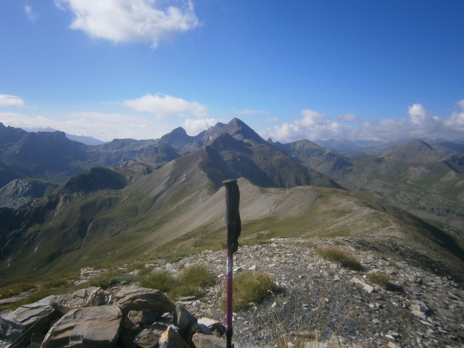
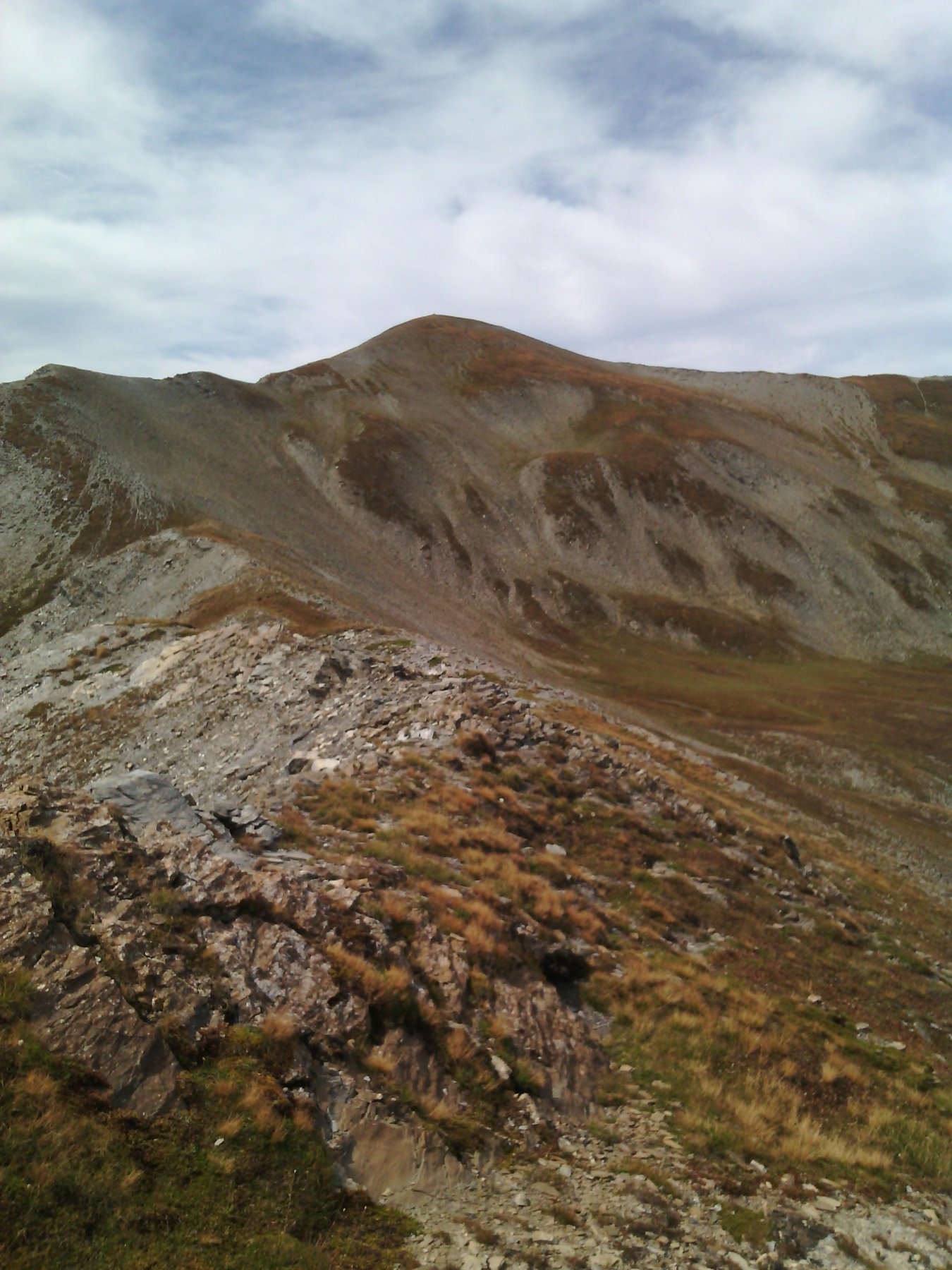
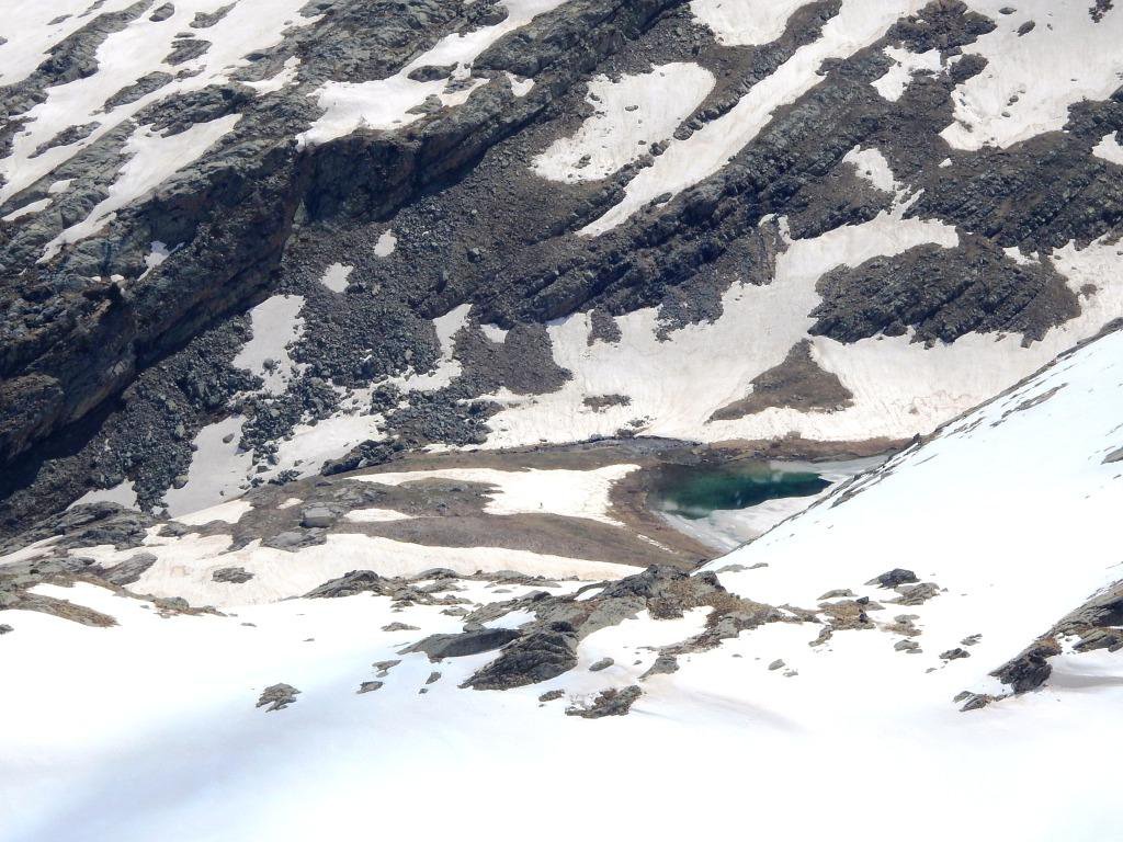
Seguendo il corso di alcuni ruscelli, si arriva ad un ripiano a destra di un dosso roccioso (qui sono presenti alcune sorgenti). Ora senza percorso obbligato, per dossi di erba e detriti si punta a raggiungere il Col du Quartier d’Aout, posto a metà strada tra la Tete de Parassac a destra e la Bosse du Lauzanier a sinistra.
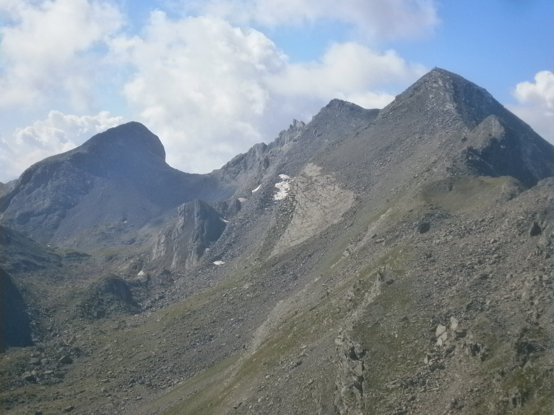
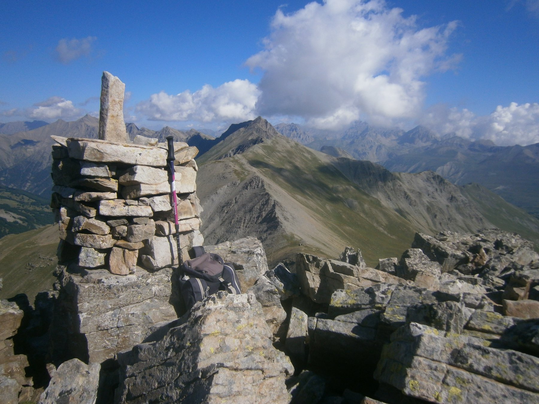
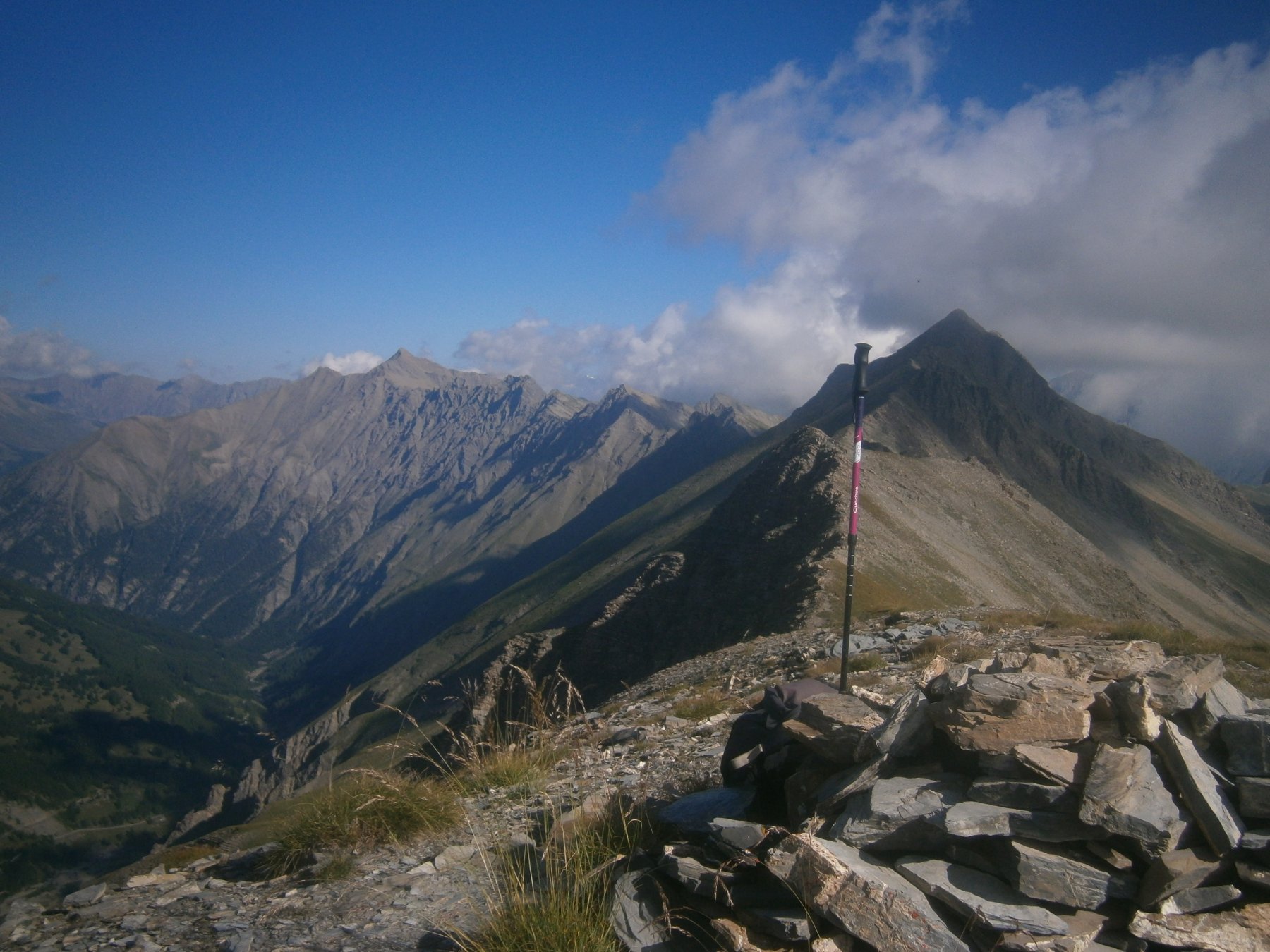
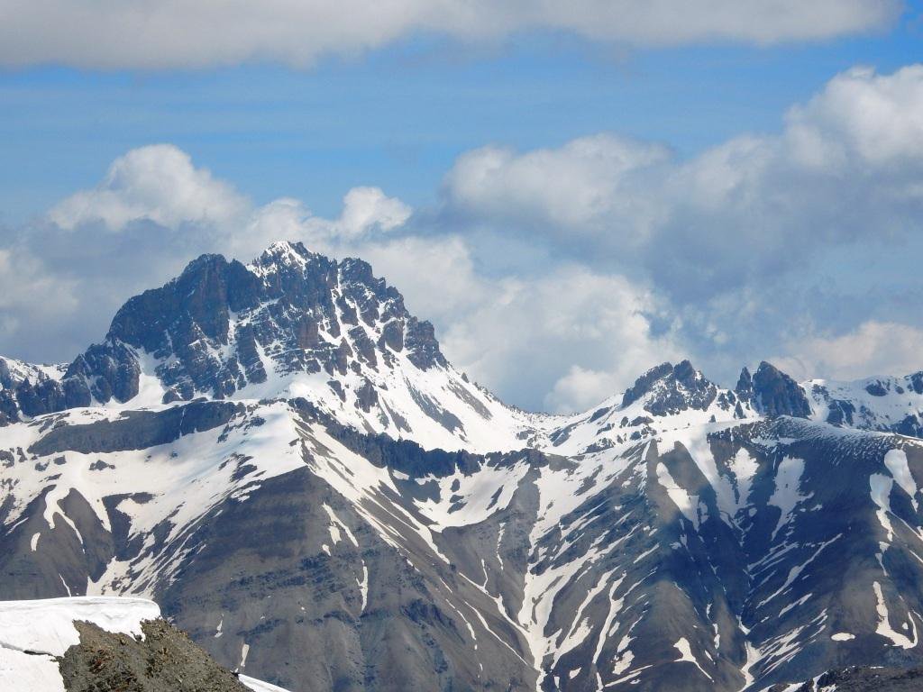
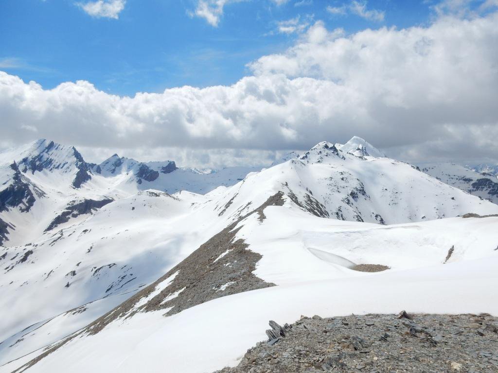
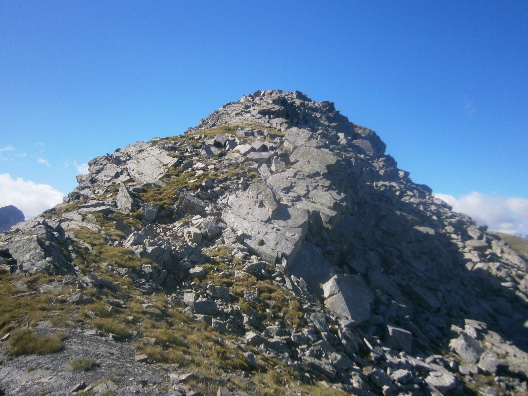
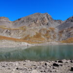
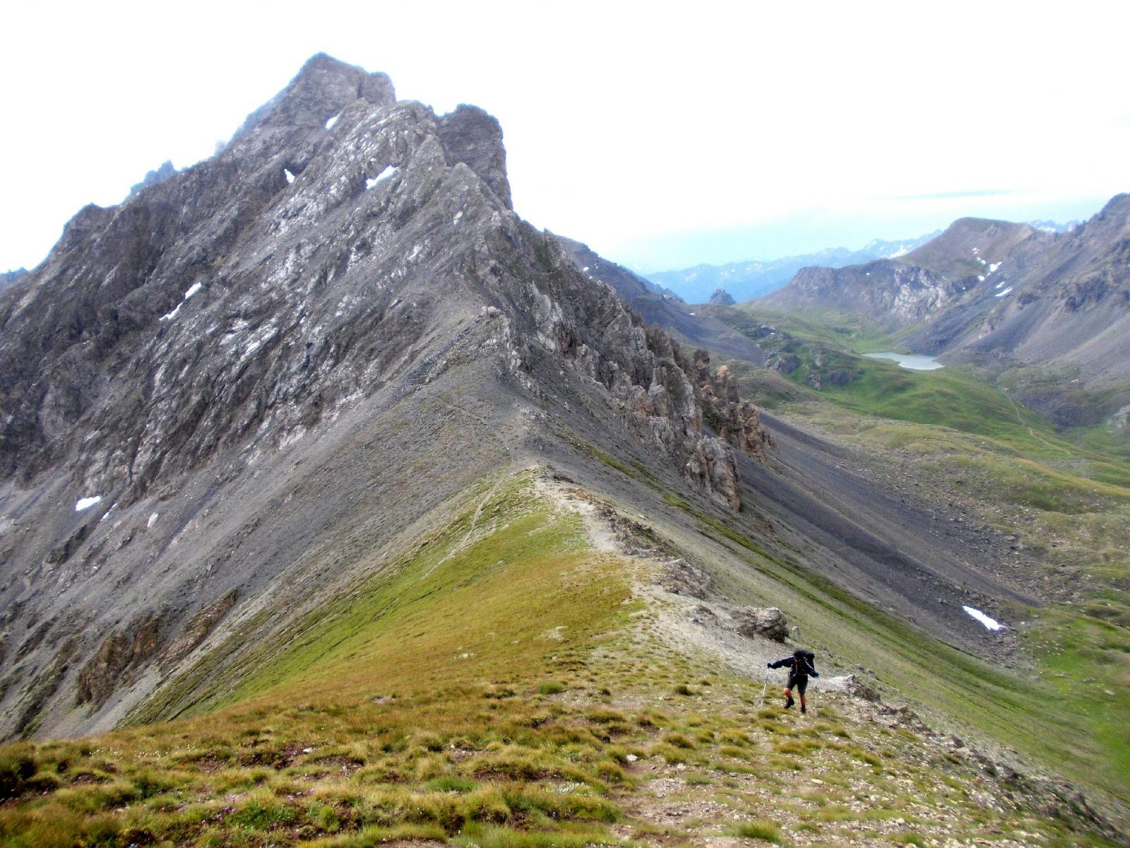
Raggiunta la depressione per facile dorsale si perviene sulla destra alla Tete de Parassac 2777 m.
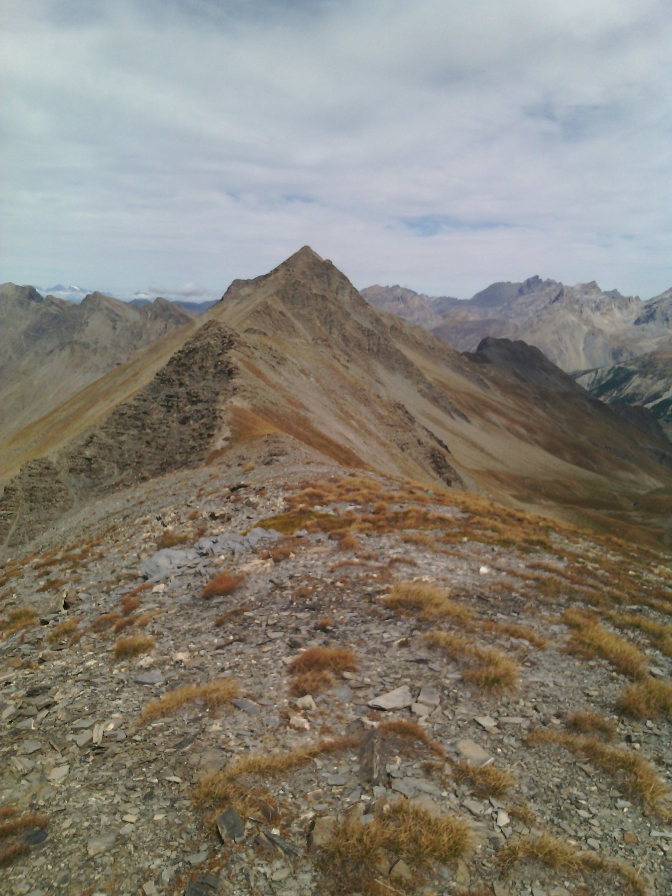
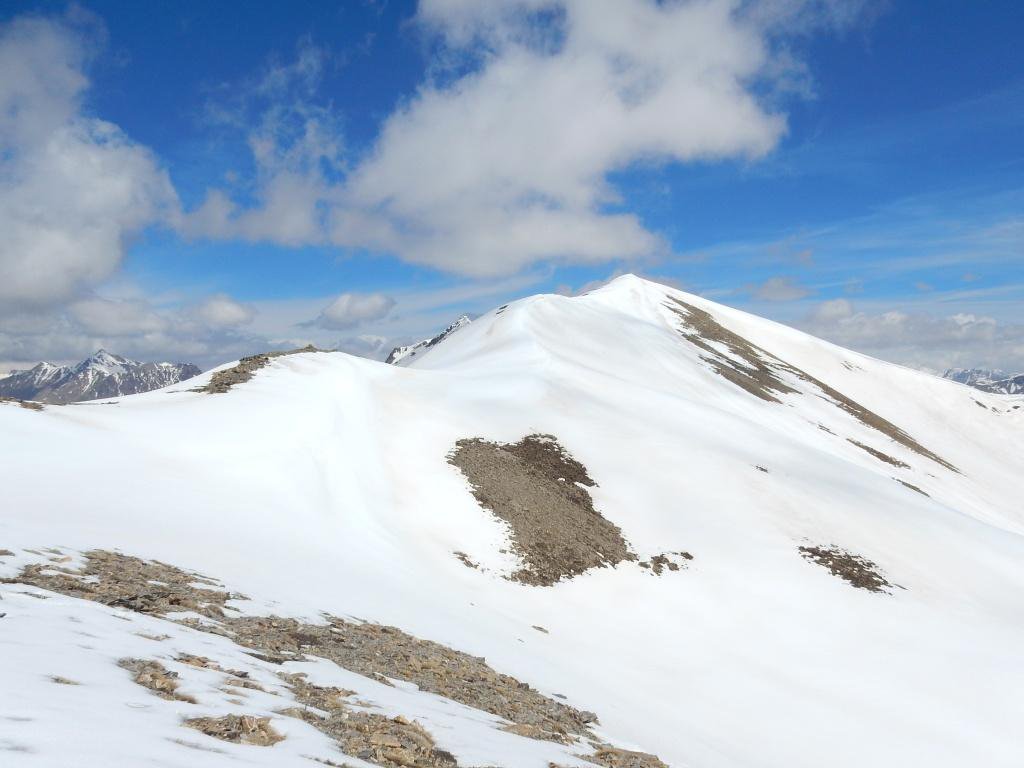
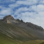
Ritornati al colle, si continua in direzione opposta (sud) aggirando un modesto promontorio, per guadagnare poi la dorsale verso la Bosse du Lauzanier 2793 m. Senza problemi si arriva alla base del pendio sommitale, che si presenta roccioso (grossi massi accatastati). Pur non essendoci difficoltà (resta un EE) bisogna districarsi al meglio tra questi grossi massi verificandone la stabilità ed evitando le voragini tra essi, percorso facile ma un po’ laborioso.
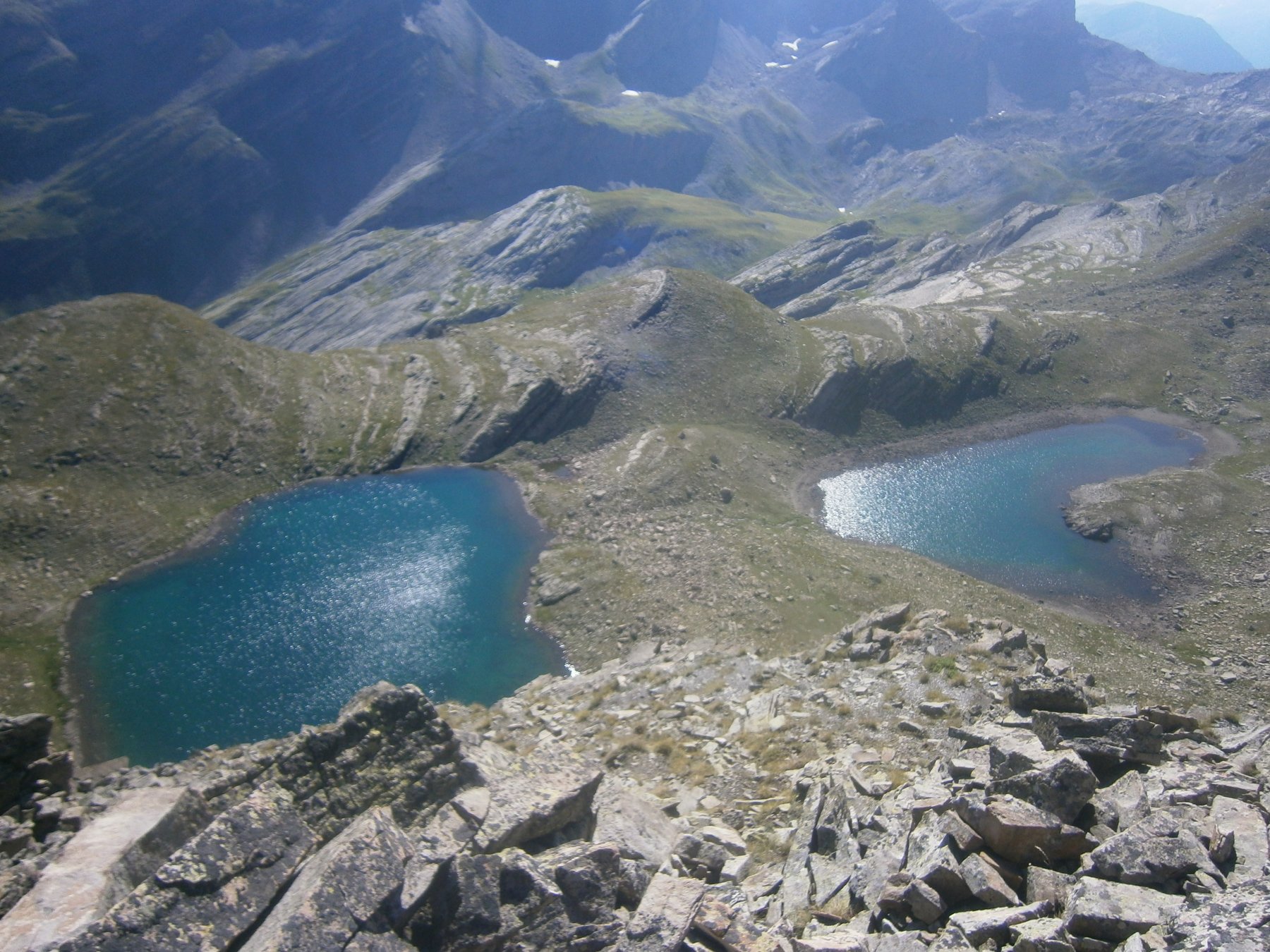
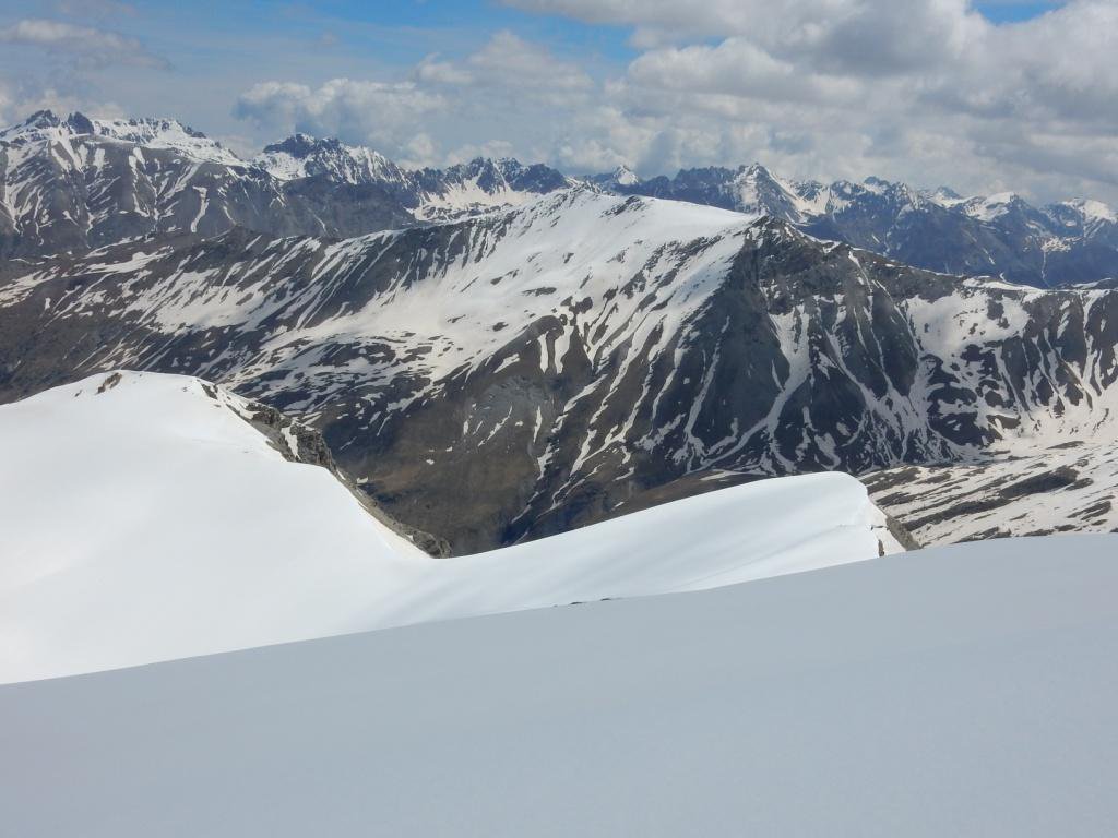
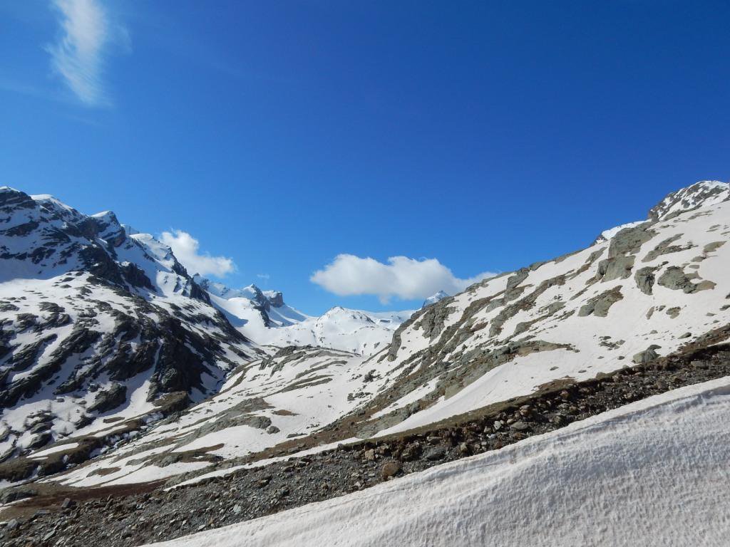
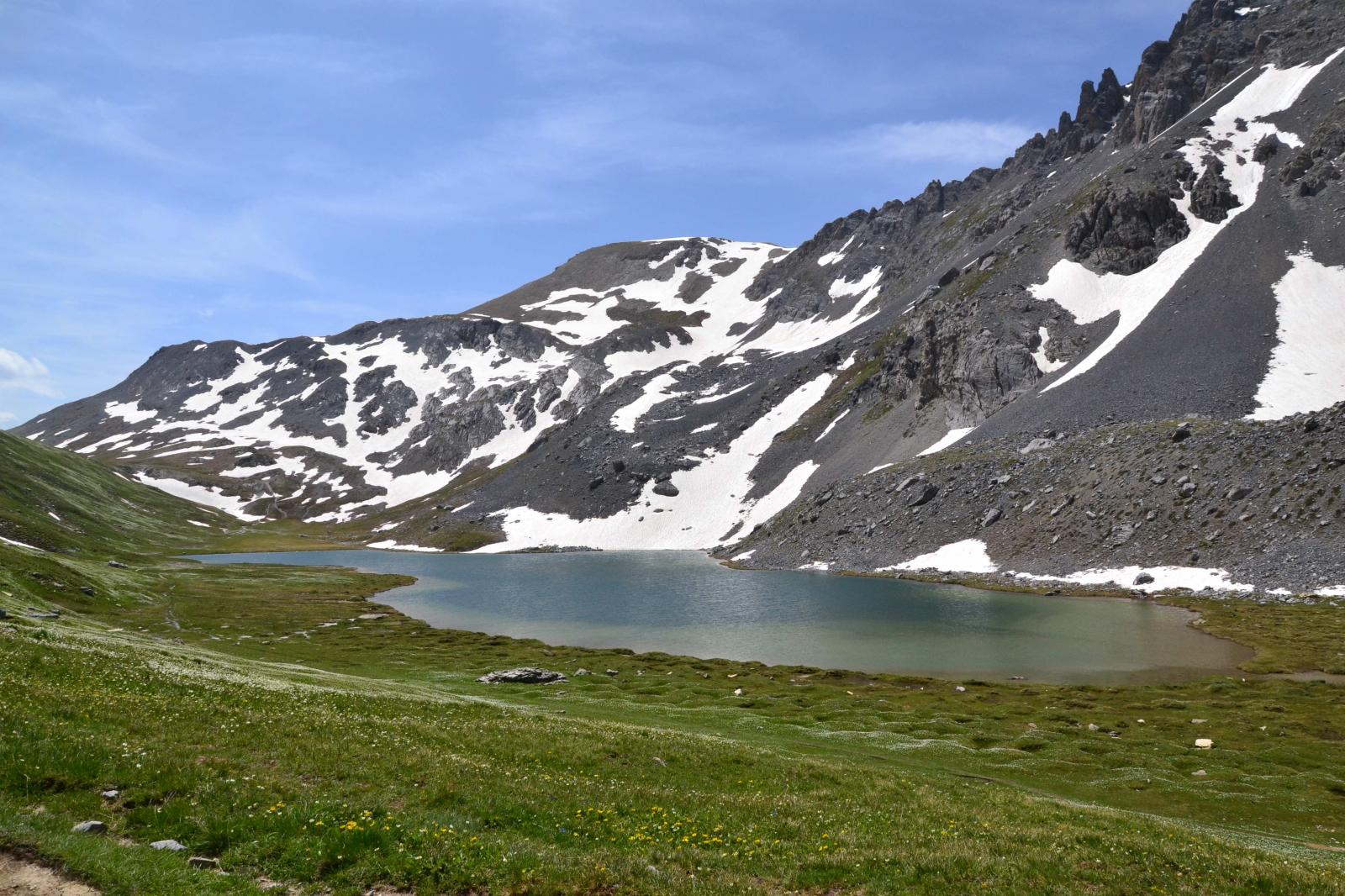
Per la discesa, si scende la ripida dorsale est (erbosa) della Bosse du Lauzanier raggiungendo un colletto nei pressi del primo dei due bellissimi Lacs de Hommes.
A questo punto si può optare per due soluzioni:
- si rientra dal percorso di salita, sfruttando il sentiero in discesa che riporta nella valletta sotto la Tete de Parassac
- compiere un bel giro ad anello che tocca gli altri laghi del Vallon du Lauzanier
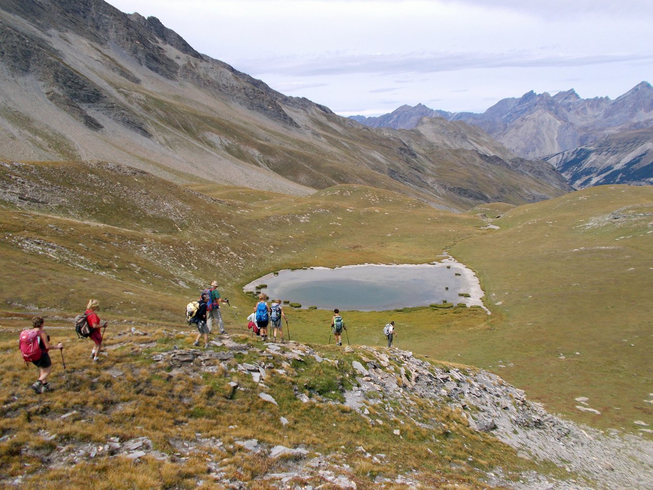
Nella seconda ipotesi, occorre seguire il sentiero che costeggia sul margine sinistro i due laghi e poi prosegue nella valletta sospesa sotto le pendici della Tete de Pelouse (da qui volendo si può salire in cima).
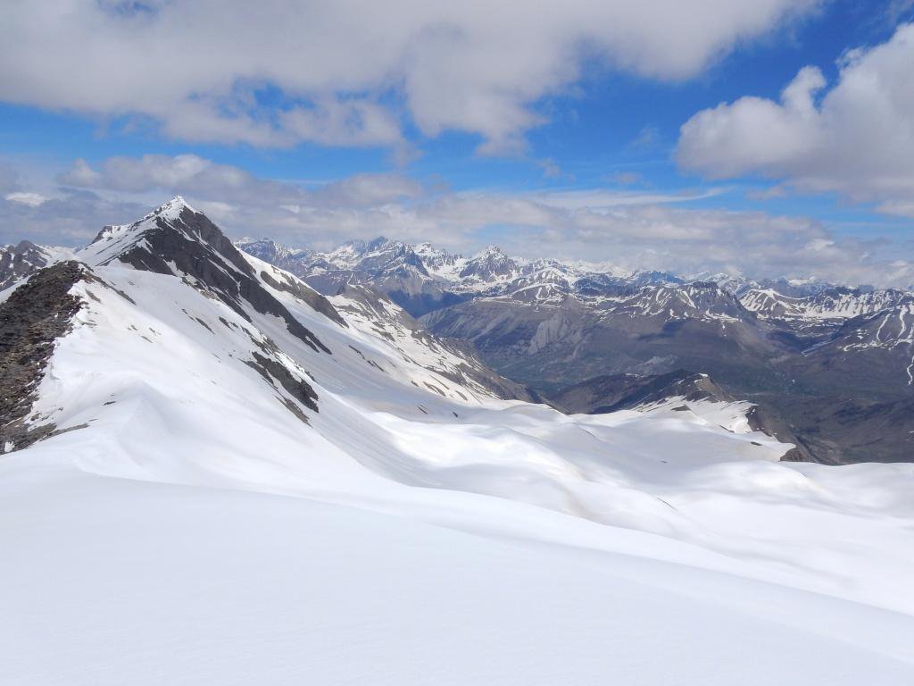
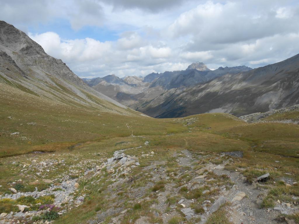
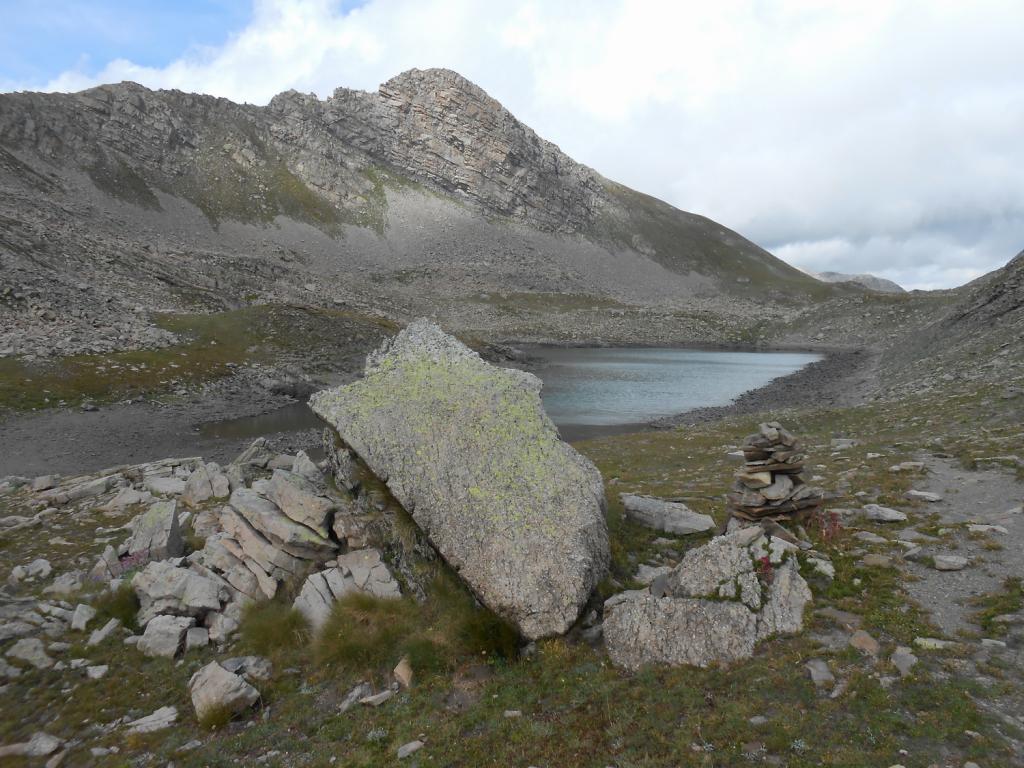
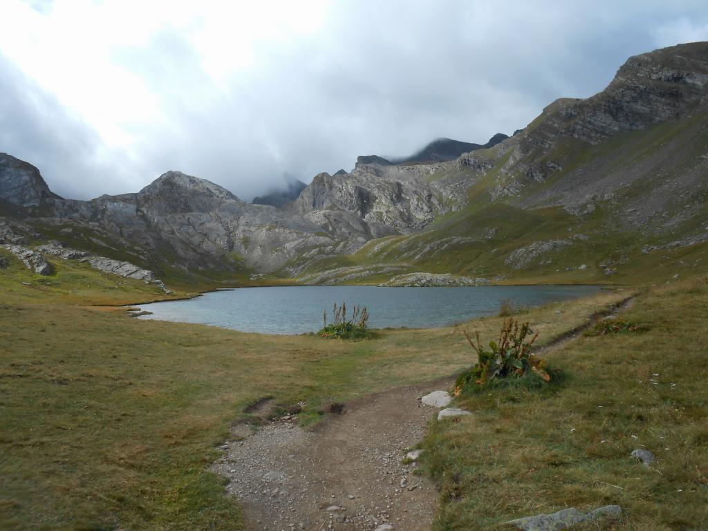
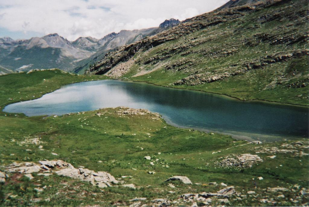
Si continua tra massi e zone erbose salendo brevemente ad un colletto posto ormai sotto la Tete Carrée. Qui il terreno diviene prevalentemente erboso, e si devia marcatamente verso sinistra (est) iniziando una dolce discesa dove seguendo il sentiero a tratti poco marcato ma soprattutto gli ometti, si arriverà alla conca del Lac Derriere la Croix 2428 m.
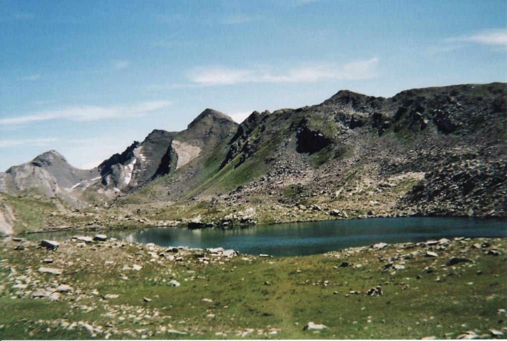
Qui si incontra la traccia principale del vallone che scendendo in modo mai troppo ripido, condurrà al Lac du Lauzanier 2284 m, quindi seguendolo verso il fondovalle (lungamente) si fa ritorno al Pont Rouge e a dove si è scelto di posteggiare l’auto.
Nelle vicinanze Mappa
Itinerari
16/07/2023 Hautes-Alpes, Val-d'Oronaye D+ 1000 m EE Nord-Est
Carrée (Tete) da le Pontet, anello dei laghi des Hommes, Derriere la Croix, Lauzanier
 0m
0m
26/06/2013 Alpes-de-Haute-Provence, Val-d'Oronaye D+ 722 m EE Nord-Ovest
Ventasuso (Monte) da le Pontet
 50m
50m
16/07/2023 Alpes-de-Haute-Provence, Val-d'Oronaye D+ 1015 m EE Est
Pelouse (Tete de) da le Pontet, anello dei laghi des Hommes, Derriere la Croix, Lauzanier
 50m
50m
30/06/2013 Alpes-de-Haute-Provence, Val-d'Oronaye D+ 675 m EE Nord
Cavale (Pas de la) da le Pontet
 50m
50m
16/08/2025 Alpes-de-Haute-Provence, Val-d'Oronaye D+ 652 m E Nord-Est
Lauzanier e Derriere la Croix (Laghi) da le Pontet per il Vallon du Lauzanier
 50m
50m
29/06/2025 Alpes-de-Haute-Provence, Val-d'Oronaye D+ 926 m EE Varie
Vanclava (Monte) o Tète de Vauclave da le Pontet
 50m
50m
13/10/2019 Alpes-de-Haute-Provence, Val-d'Oronaye D+ 885 m EE/F Varie
Oronaye (Aiguille orientale d’) da le Pontet
 50m
50m
25/08/2024 Alpes-de-Haute-Provence, Val-d'Oronaye D+ 600 m E Varie
Roburent (Colle e Laghi di) da le Pontet per il Lago dell’Oronaye
 50m
50m
05/01/2023 Alpes-de-Haute-Provence, Val-d'Oronaye D+ 779 m E Varie
Manse (Cima delle) o Tete de Villadel da Le Pontet
 50m
50m
09/01/2024 Alpes-de-Haute-Provence, Val-d'Oronaye D+ 1300 m E Sud
Soubeyran (Monte) o Tete de l’Alp e Monte Viraysse da le Pontet per il Lac de la Reculaye
50m