550m
550m

Descrizione
 0m
50m
50m
50m
50m
50m
50m
50m
50m
1.2Km
0m
50m
50m
50m
50m
50m
50m
50m
50m
1.2Km
550m
1.3Km
3Km
3.1Km
3.1Km
3.9Km
3.9Km
3.9Km
3.9Km
6.2Km
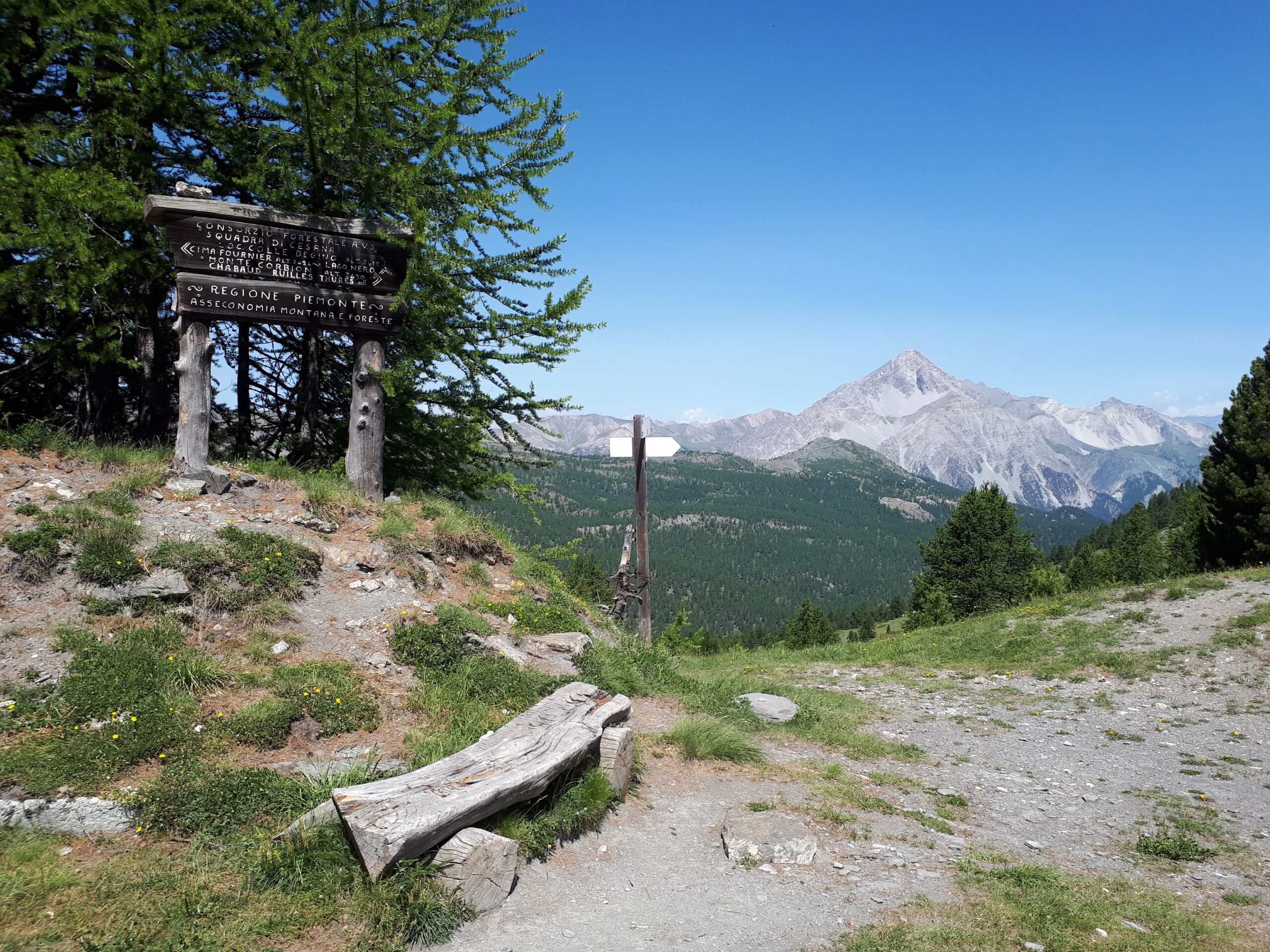
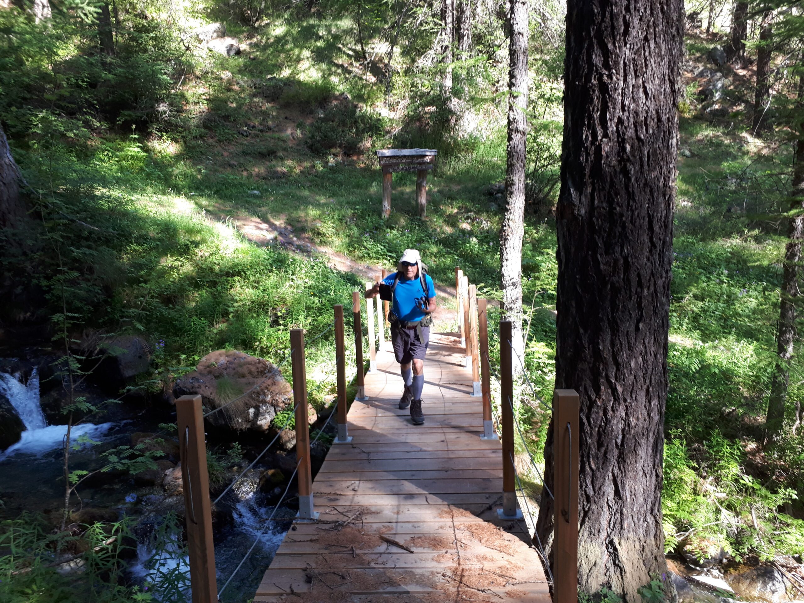
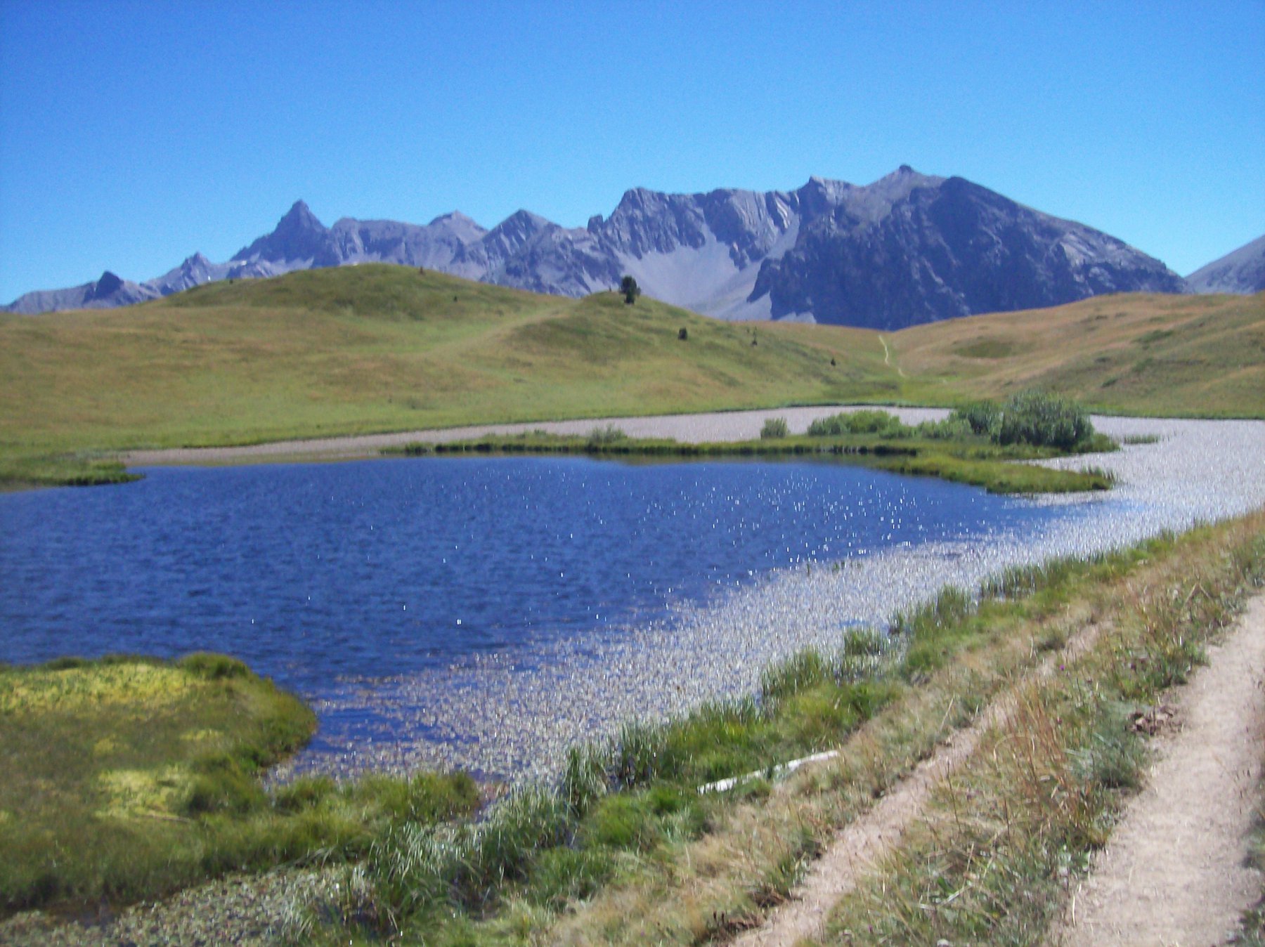
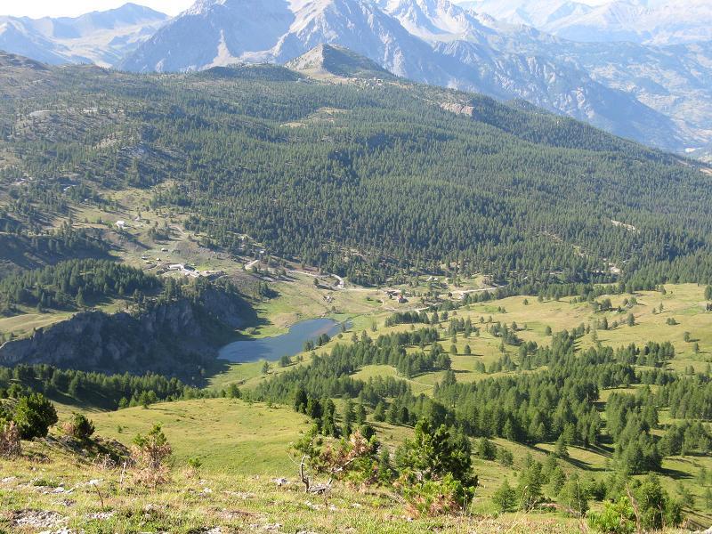
Dall’abitato di Bousson seguire la Strada che sale al Lago Nero, alla prima curva a dx. abbandonarla per proseguire lungo la carrareccia che sale a Chabaud.
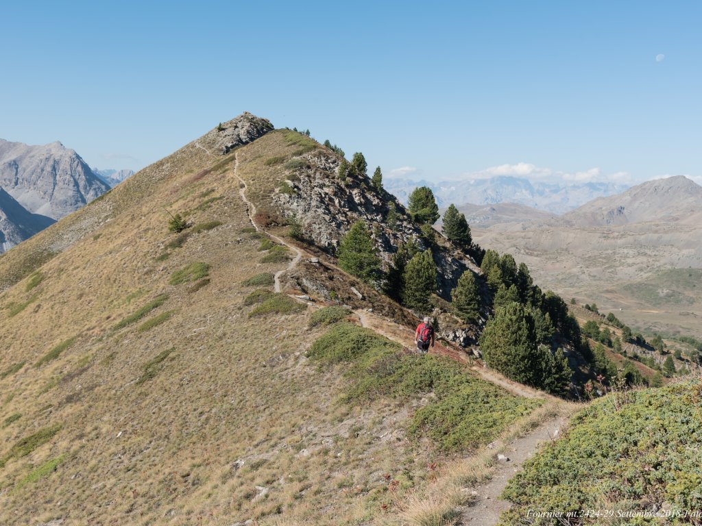
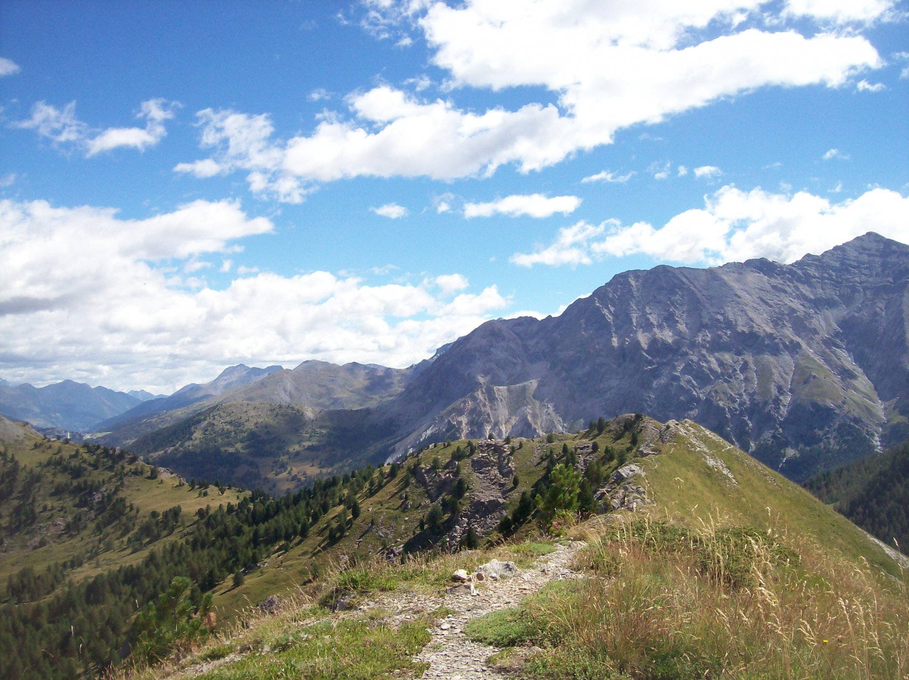
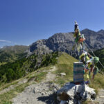
Al primo ponte che si incontra prendere il Sentiero dei Forestali sulla dx. e seguirlo sino a incrociare la strada che sale al Lago Nero. Seguire le indicazioni per Col Begino dal quale si percorre la cresta S.E. sino in cima a mt. 2424.
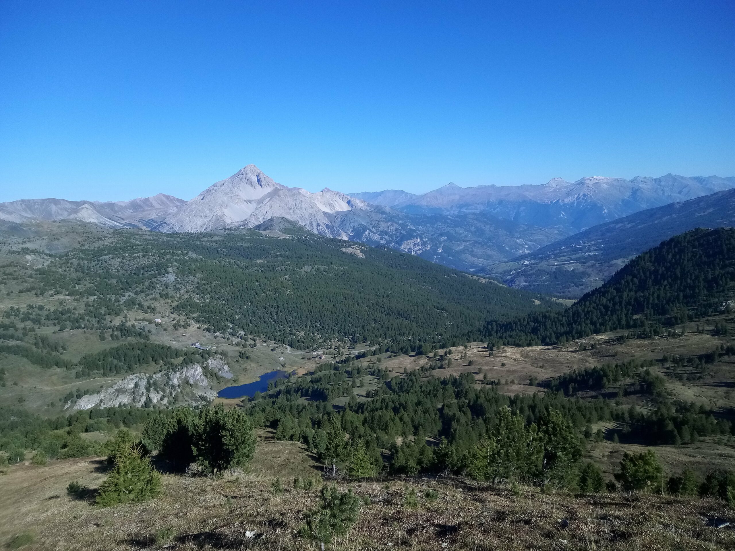
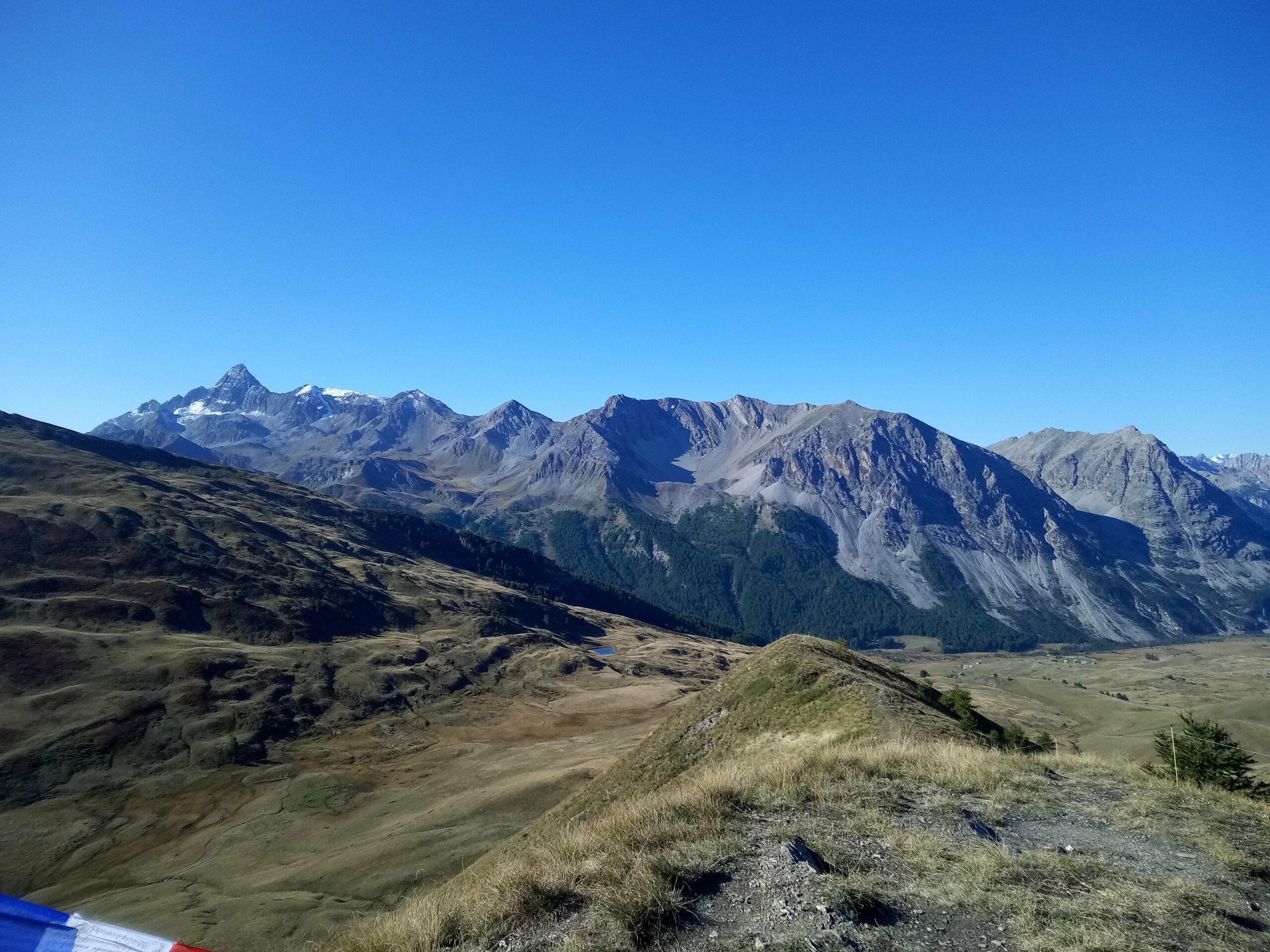
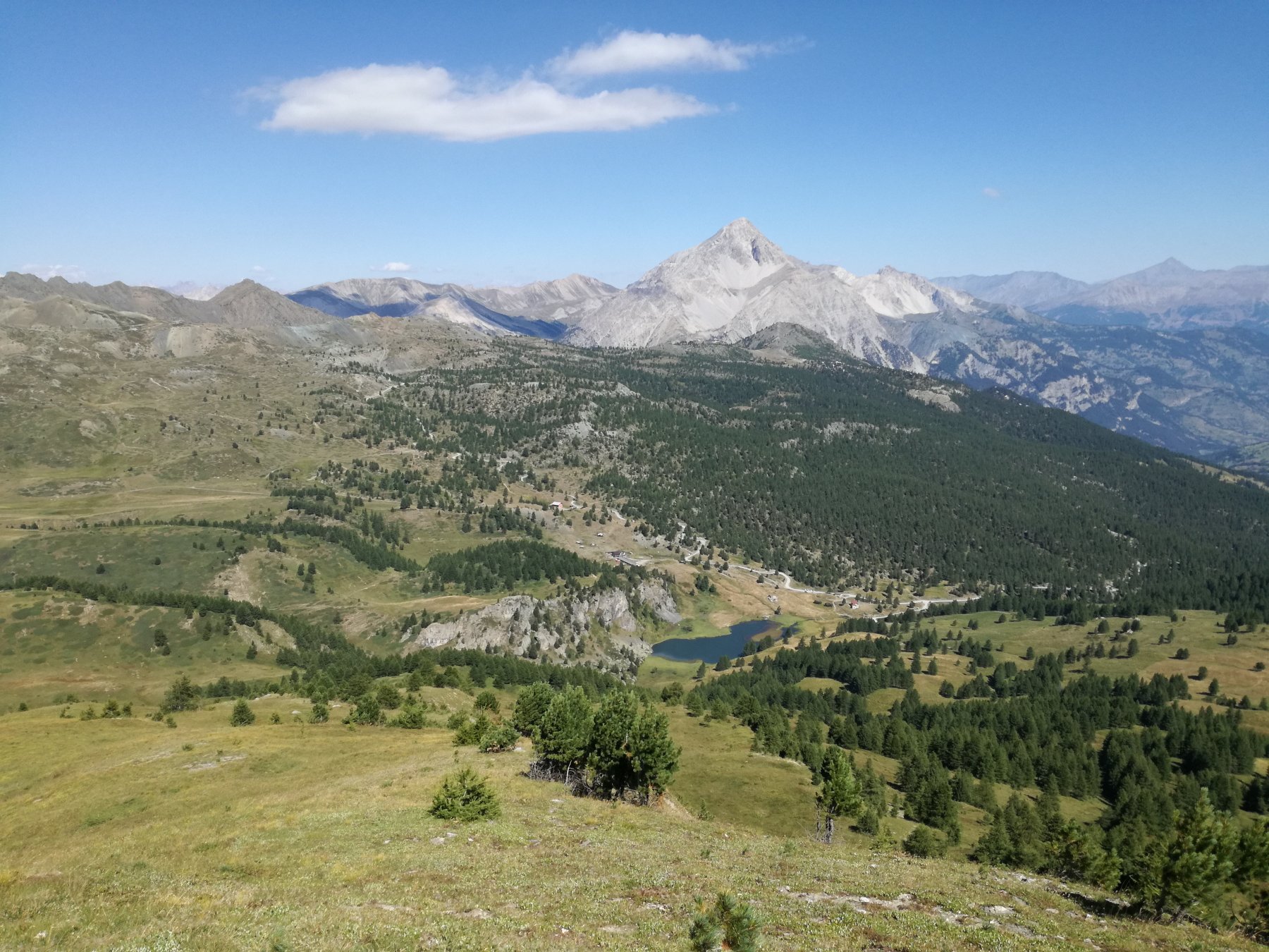
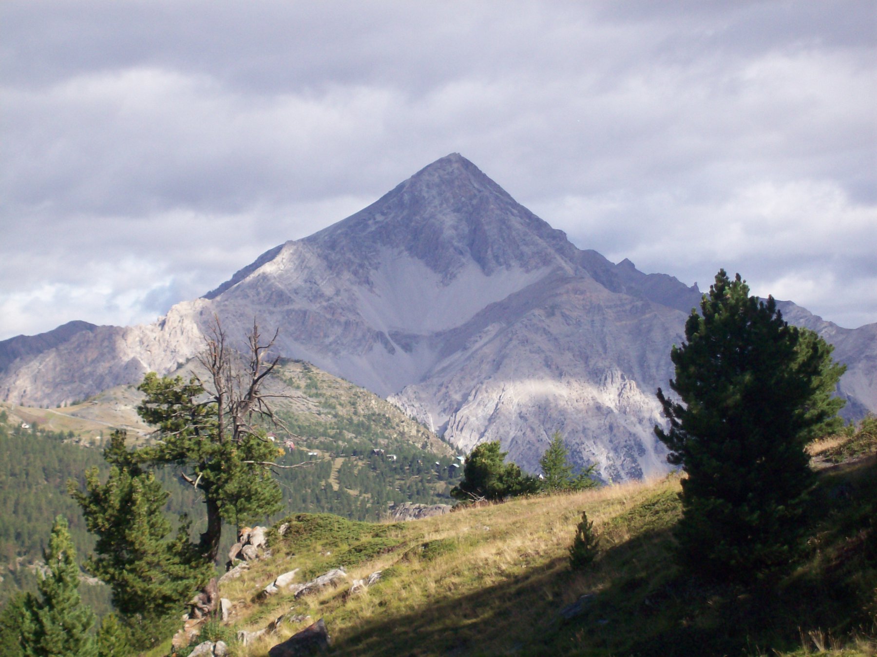
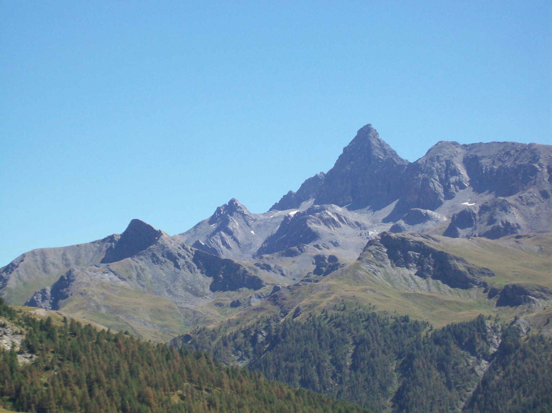
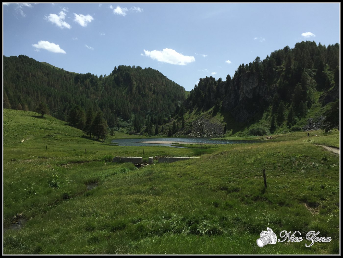
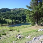
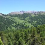
Dalla cima ottimo panorama verso l’Izoard.
- Cartografia:
- Fraternali 1:25.000 n.1 Alta Valle di Susa
Nelle vicinanze Mappa
Itinerari
05/08/2025 TO, Cesana Torinese D+ 1000 m E Varie
Corbioun (Monte) da Bousson
 0m
0m
14/06/2025 TO, Cesana Torinese D+ 1050 m E Est
Gignoux (Lago) o dei Sette Colori da Bousson
 50m
50m
06/01/2026 TO, Cesana Torinese D+ 750 m E Varie
Capanna Mautino (Rifugio) al Lago Nero da Bousson per i Laghi Clot Foiron
 50m
50m
10/07/2026 TO, Cesana Torinese D+ 1200 m E Varie
Fournier (Cima) da Bousson, anello per Monte Corbioun, Colle Begino, Col Bousson, Lago Nero
 50m
50m
29/07/2021 TO, Cesana Torinese D+ 831 m E Varie
Saurel (Lac) da Bousson per Capanna Mautino
 50m
50m
20/02/2022 TO, Cesana Torinese D+ 353 m T Nord-Est
Cava del Marmo Verde da Bousson
 50m
50m
06/08/2025 TO, Cesana Torinese D+ 409 m E Varie
Saurel (Cima) dal Lago Nero
 50m
50m
13/06/2026 TO, Cesana Torinese D+ 770 m E Varie
Carabinieri (Poggio dei) e Col Bousson da Bousson
 50m
50m
13/06/2026 TO, Cesana Torinese D+ 730 m E Varie
Brusà (Serra) da Bousson
 50m
50m
04/10/2025 TO, Cesana Torinese D+ 711 m E Ovest
Bosco (Cima del) da Thures
 1.2Km
1.2Km
Servizi
550m
1.3Km
La Fontana del Thures Rifugio
Cesana Torinese
3Km
La Crota B&B
Cesana Torinese
3.1Km
da Carlo Rifugio
Cesana Torinese
3.1Km
La Tana degli Orsi B&B
Cesana Torinese
3.9Km
L’Ibarus Rifugio
Cesana Torinese
3.9Km
Piergiorgio Frassati B&B
Cesana Torinese
3.9Km
Casa Cesana Bar
Cesana Torinese
3.9Km
Ottima Scelta Ristorante
Cesana Torinese
6.2Km