2.7Km
2.7Km


Note
 50m
50m
50m
50m
50m
1.6Km
2.2Km
2.6Km
2.6Km
3.1Km
50m
50m
50m
50m
50m
1.6Km
2.2Km
2.6Km
2.6Km
3.1Km
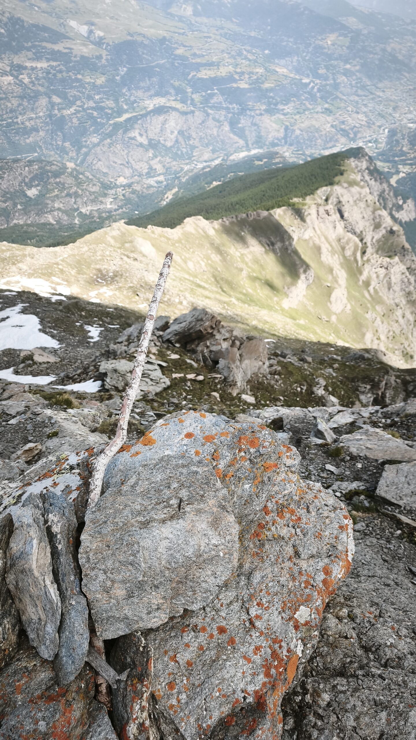
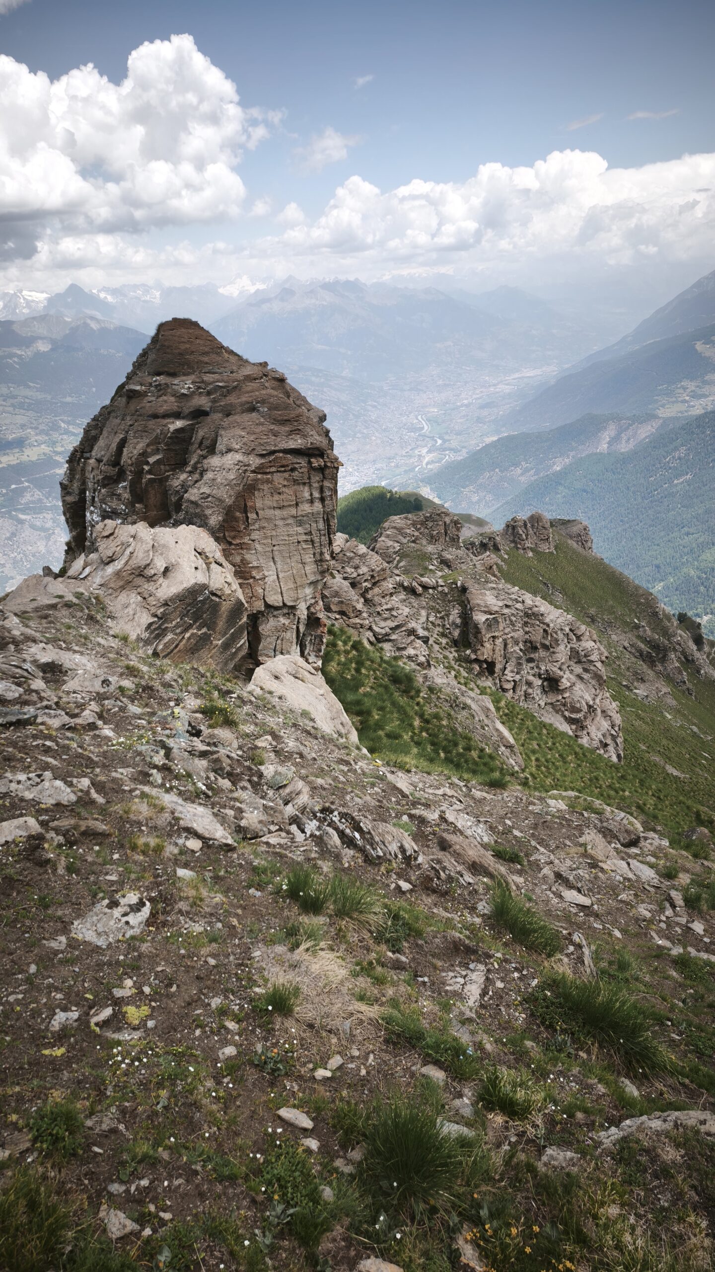
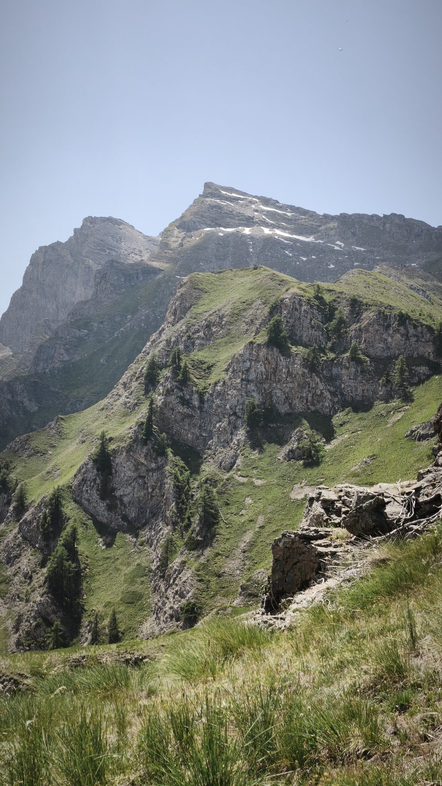
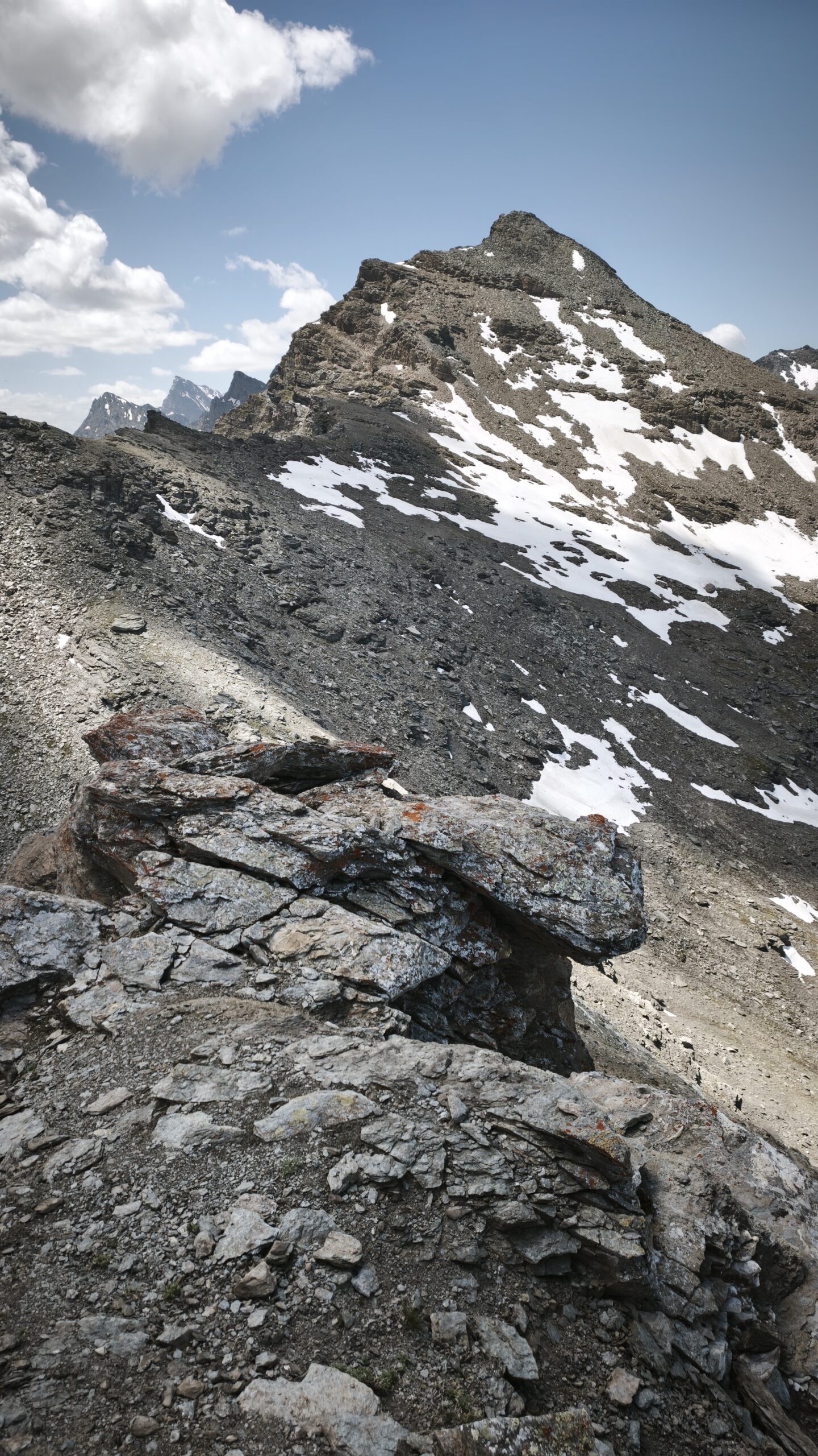
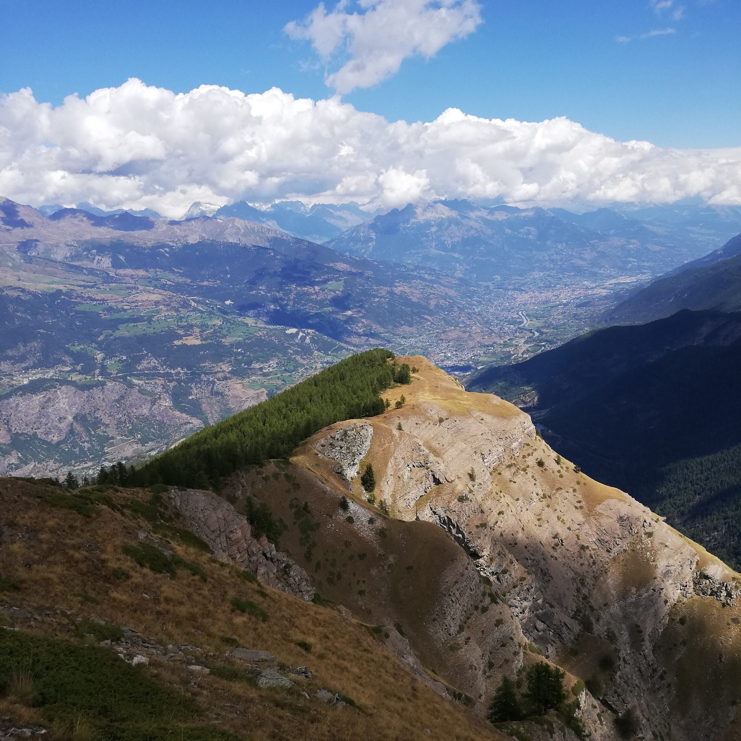
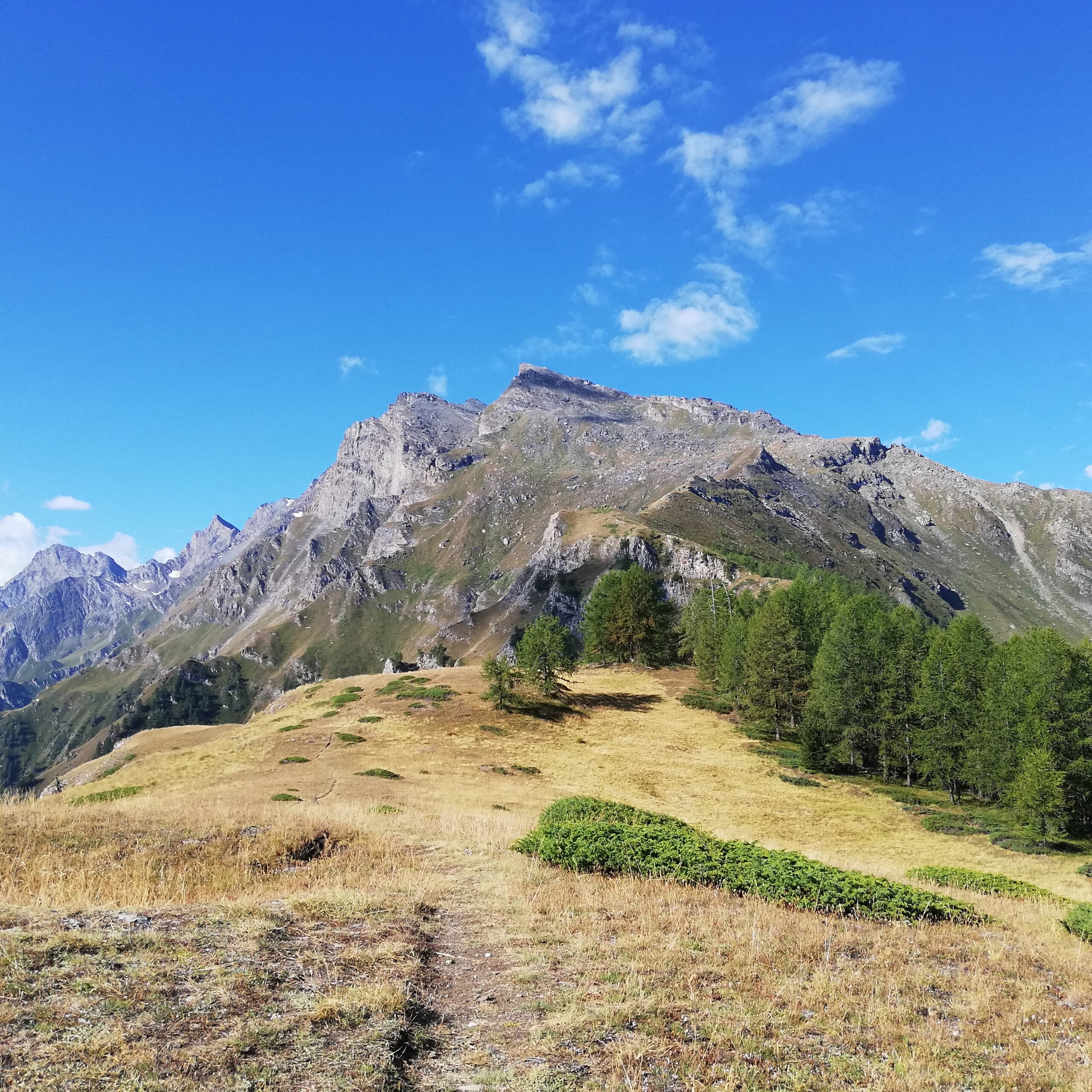
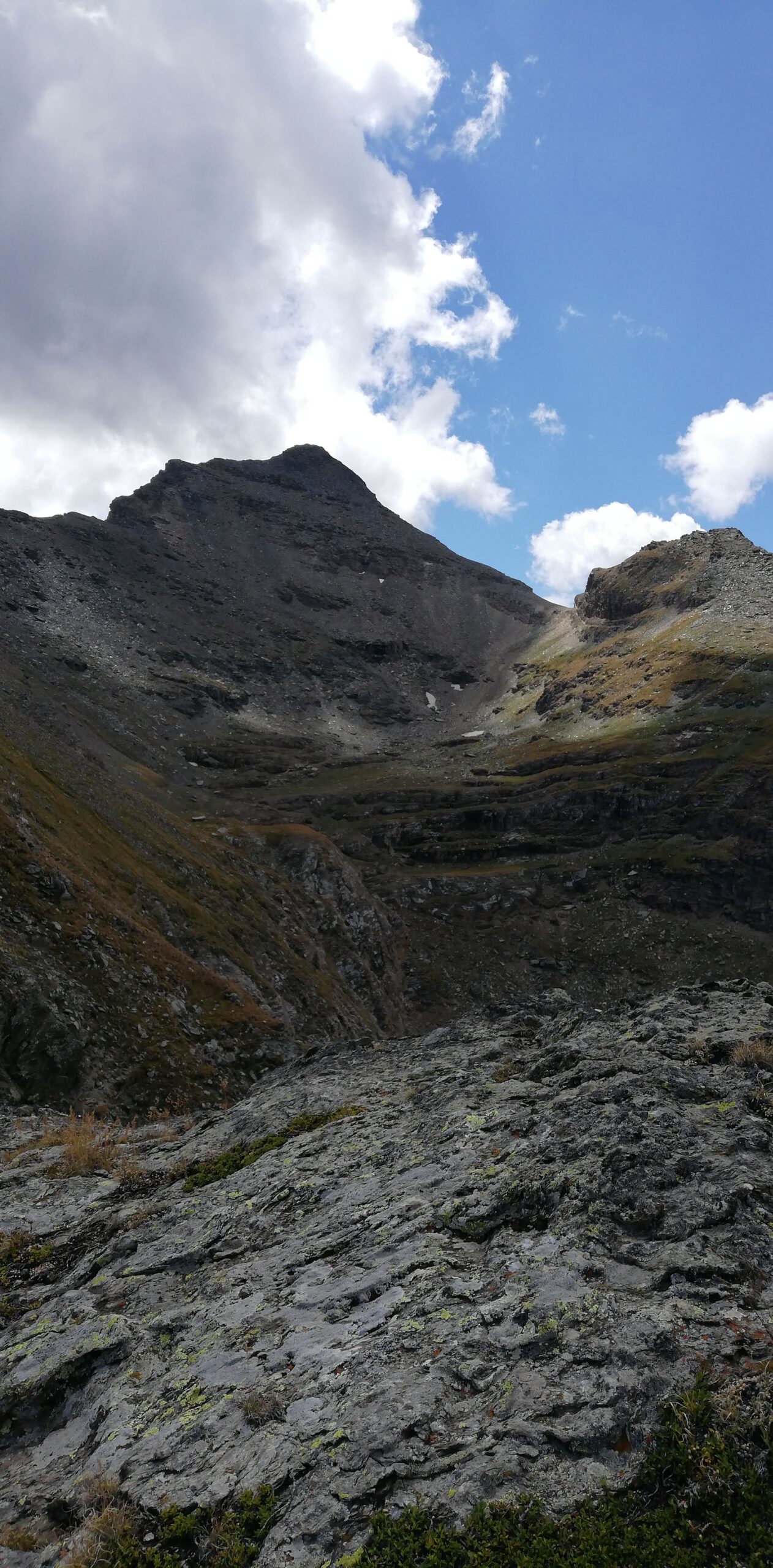
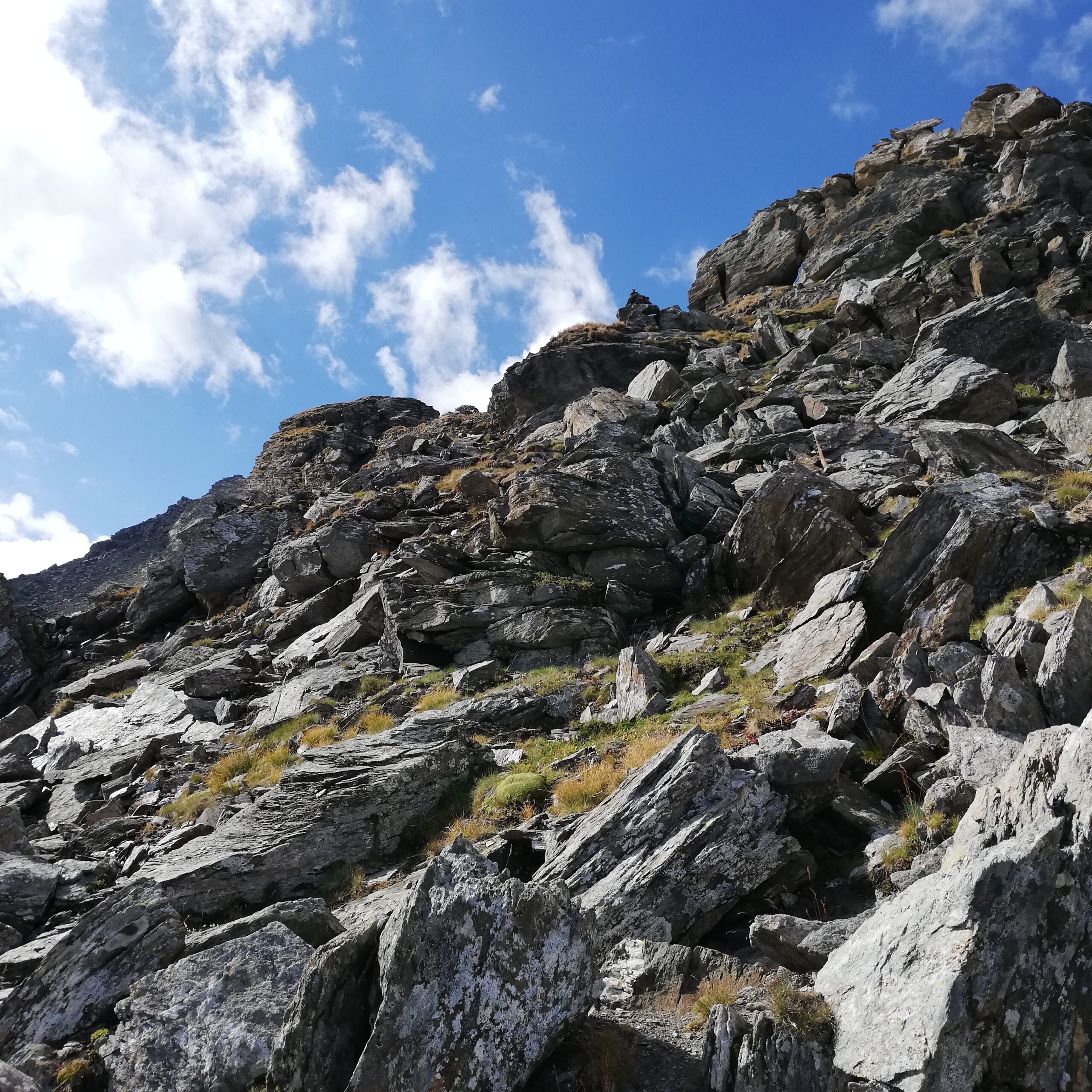
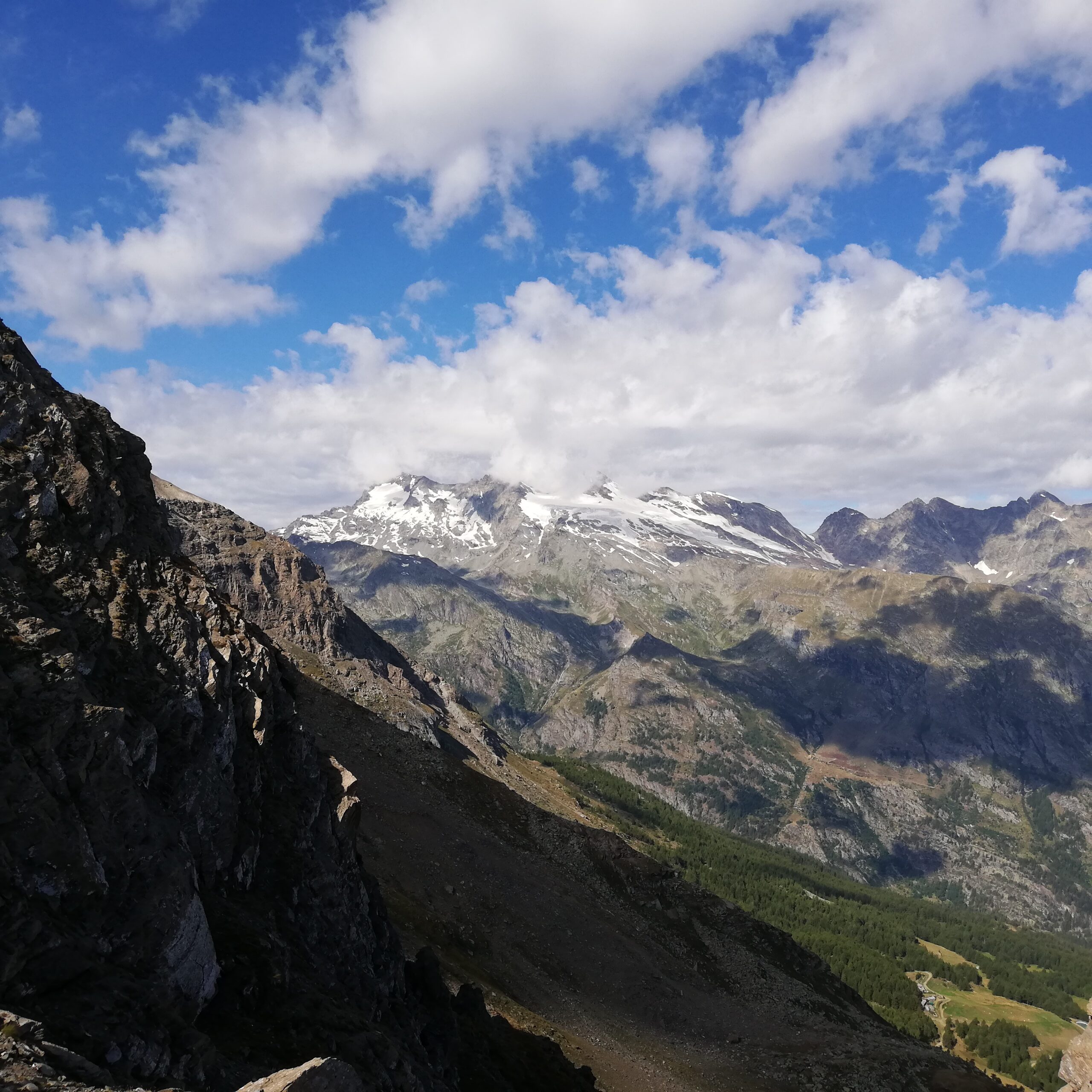
Itinerario selvaggio e fuori dai normali circuiti escursionistici.
Avvicinamento
.
Descrizione
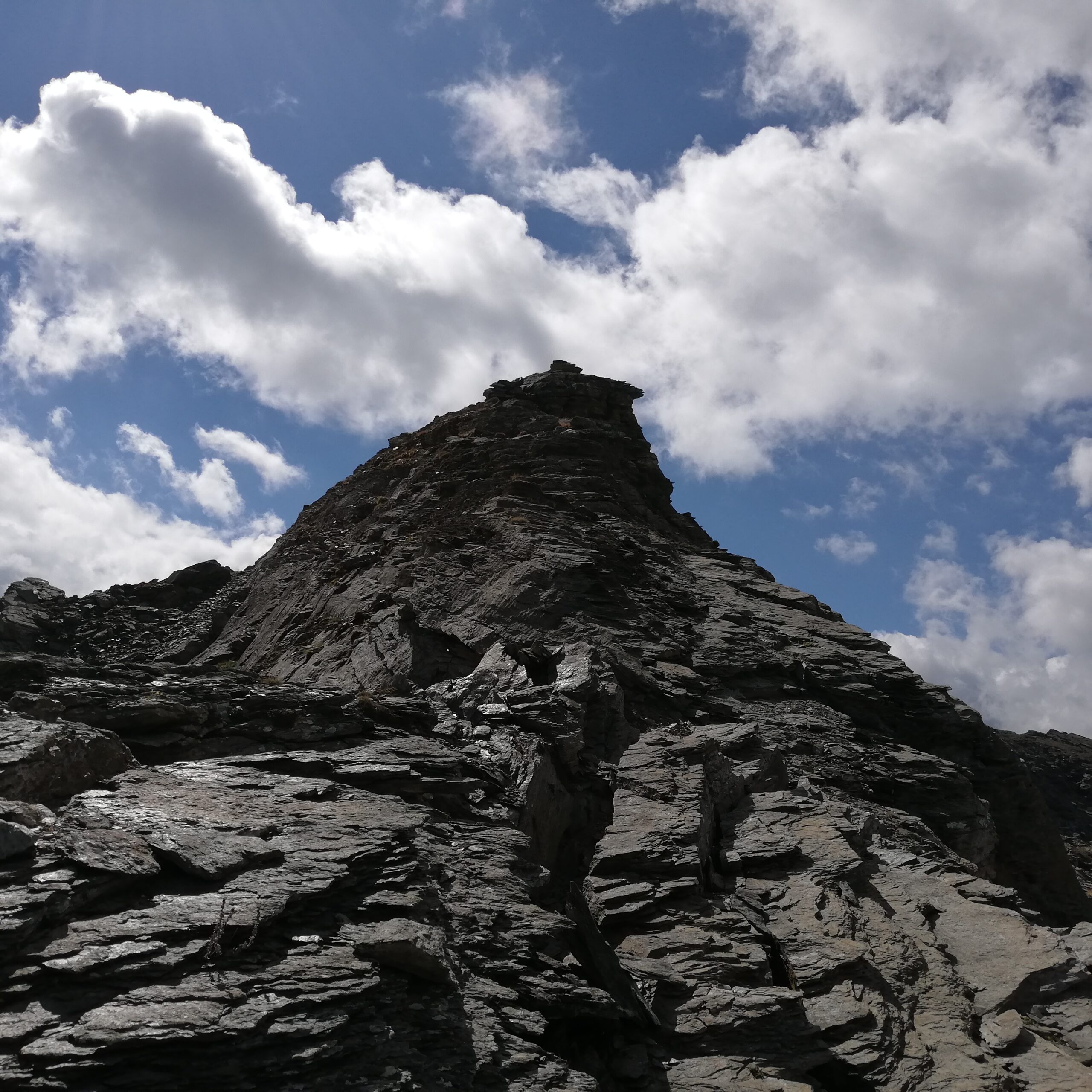
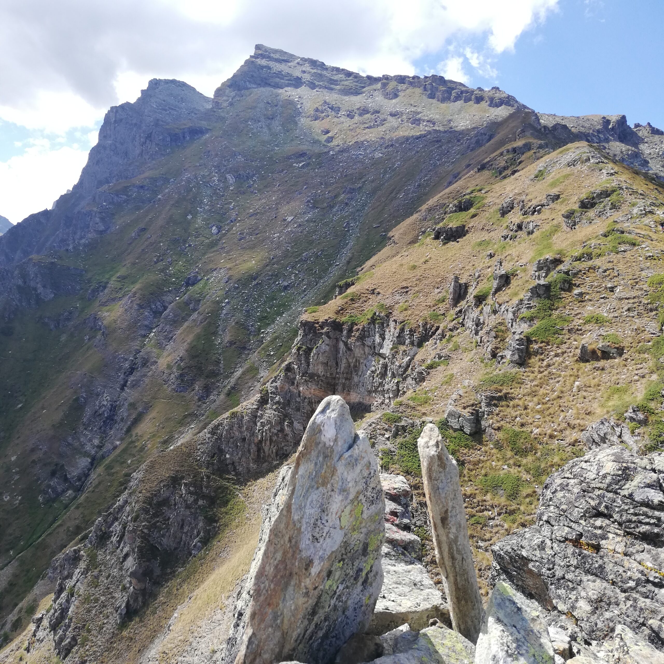
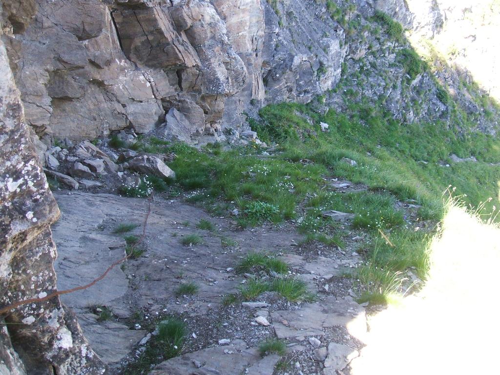
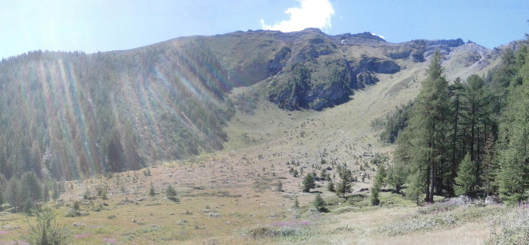
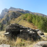
Da le Combe prendere la strada sterrata che Porta all’alpeggio Pileo fino ad incontrare il sentiero a sinistra che sale al Pian Cou. Dal rilievo una traccia si alza diagonalmente verso destra fino ad uscire sulla cresta nord della Becca del Merlo. Percorrere la cresta di sfasciumi e massi instabili fino in Vetta senza grandi difficoltà.
- Cartografia:
- Carta Kompass n° 86
Ultima revisione 25/01/2024
Nelle vicinanze Mappa
Itinerari
05/09/2020 AO, Introd D+ 920 m E Nord
Cou (Plan) da Les Combes, sentiero dei Gipeti
 50m
50m
13/07/2013 AO, Introd D+ 913 m EE Est
Feluma (Alpe) da le Combes, anello
 50m
50m
11/10/2025 AO, Arvier D+ 420 m E Varie
Bouque (Croux de) da Les Combes
 50m
50m
10/08/2016 AO, Arvier D+ 578 m T Nord
Bry (Plan) da Les Combes, anello
 50m
50m
13/10/2024 AO, Introd D+ 1100 m E Varie
Ane (Mont de l’) da les Combes, anello
 50m
50m
12/12/2025 AO, Arvier D+ 441 m T Est
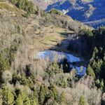
Baisse Pierre (Frazione) da la Ravoire e l’oasi naturale di Lolair
 1.6Km
1.6Km
19/11/2025 AO, Arvier D+ 445 m E Nord
Saint Nicolas da Leverogne
 2.2Km
2.2Km
17/04/2026 AO, Arvier D+ 700 m E Nord
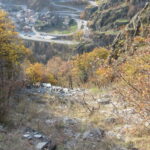
Montmayeur (Castello di) da Arvier
 2.6Km
2.6Km
27/08/2011 AO, Arvier D+ 550 m E Sud
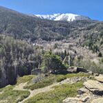
Saint Nicolas da Arvier, anello
 2.6Km
2.6Km
13/02/2023 AO, Avise D+ 1184 m E Varie
Cammino Balteo tappa n.15 da Avise a Introd
 3.1Km
3.1Km