3.2Km
3.2Km
Note
 50m
3.2Km
3.2Km
3.2Km
3.2Km
3.2Km
3.2Km
3.2Km
3.4Km
3.9Km
50m
3.2Km
3.2Km
3.2Km
3.2Km
3.2Km
3.2Km
3.2Km
3.4Km
3.9Km
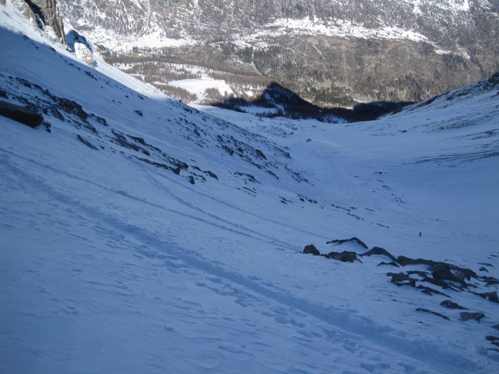
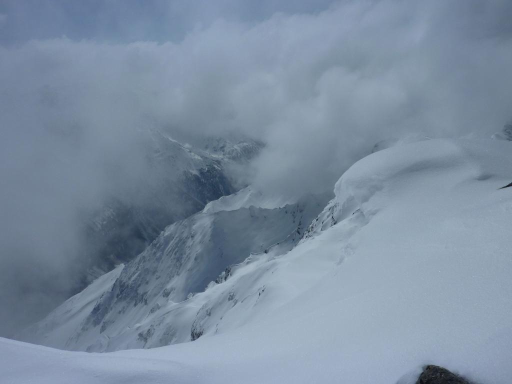
ATTENZIONE, in discesa NON seguire (oltre il necessario) la strada che si interseca : questa con un lunghissimo traverso porta all'abitato di Les Combes, sopra Introd in Val di Rhemes.
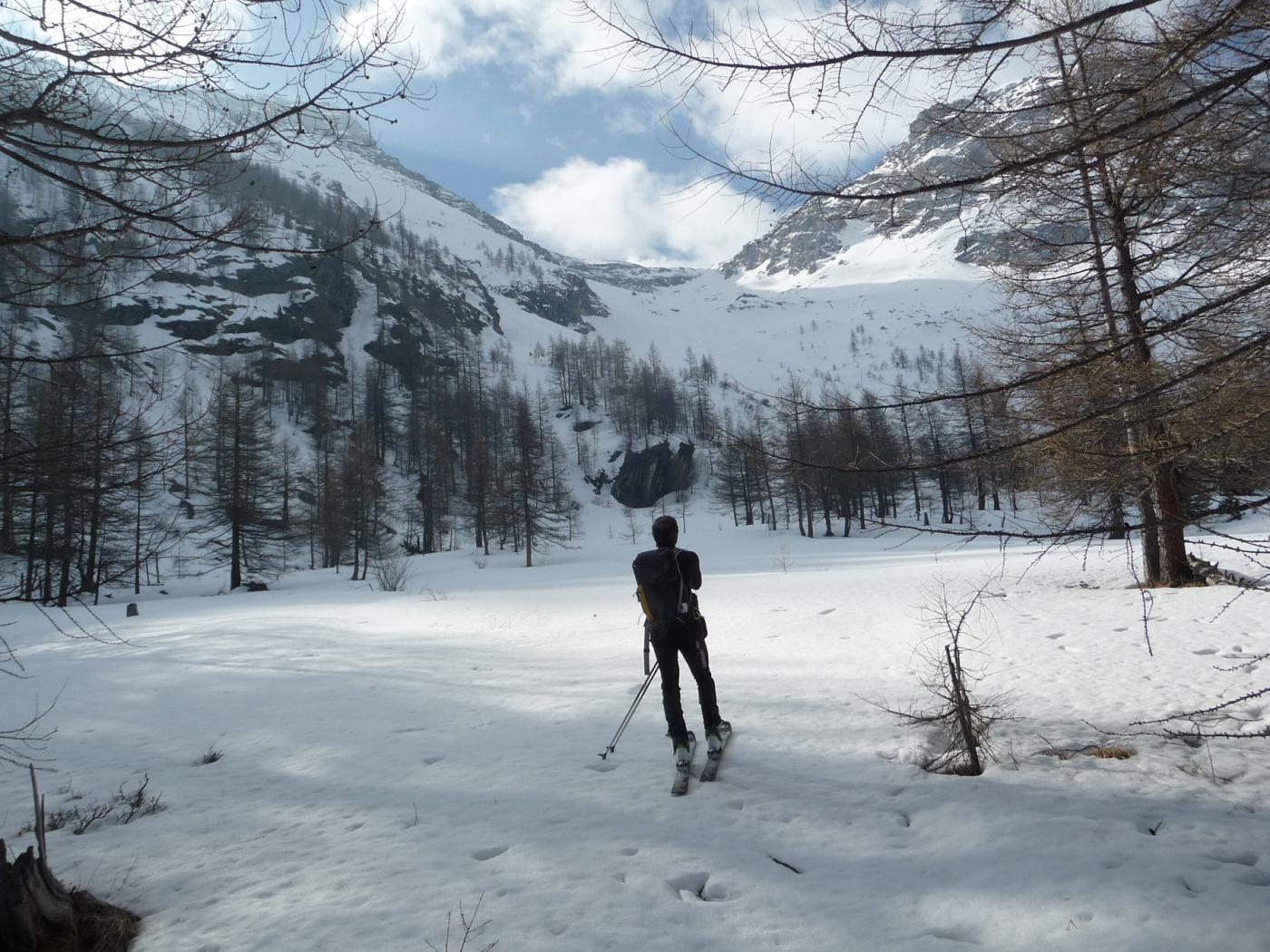
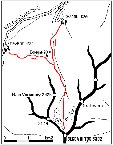
Avvicinamento
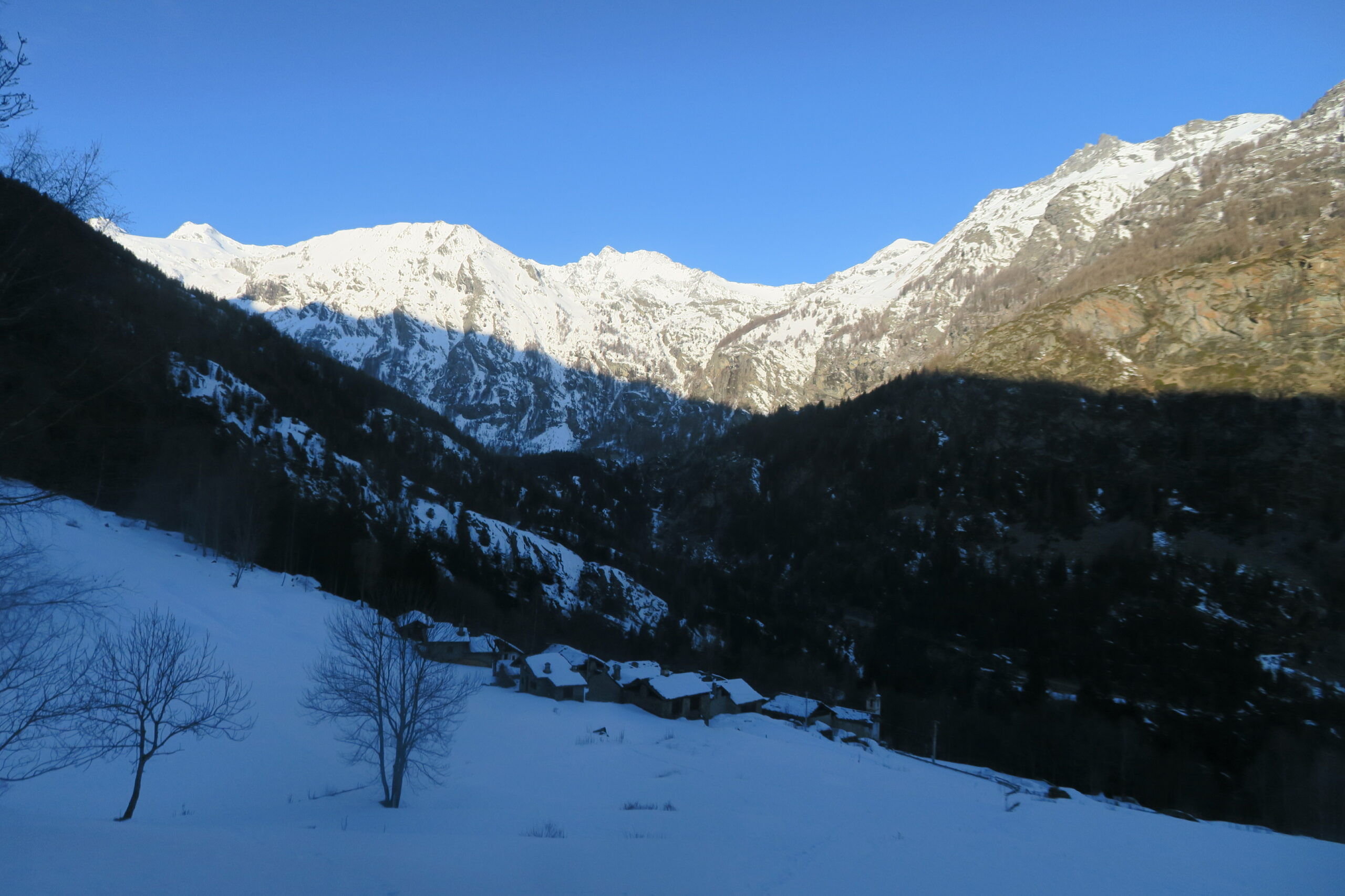
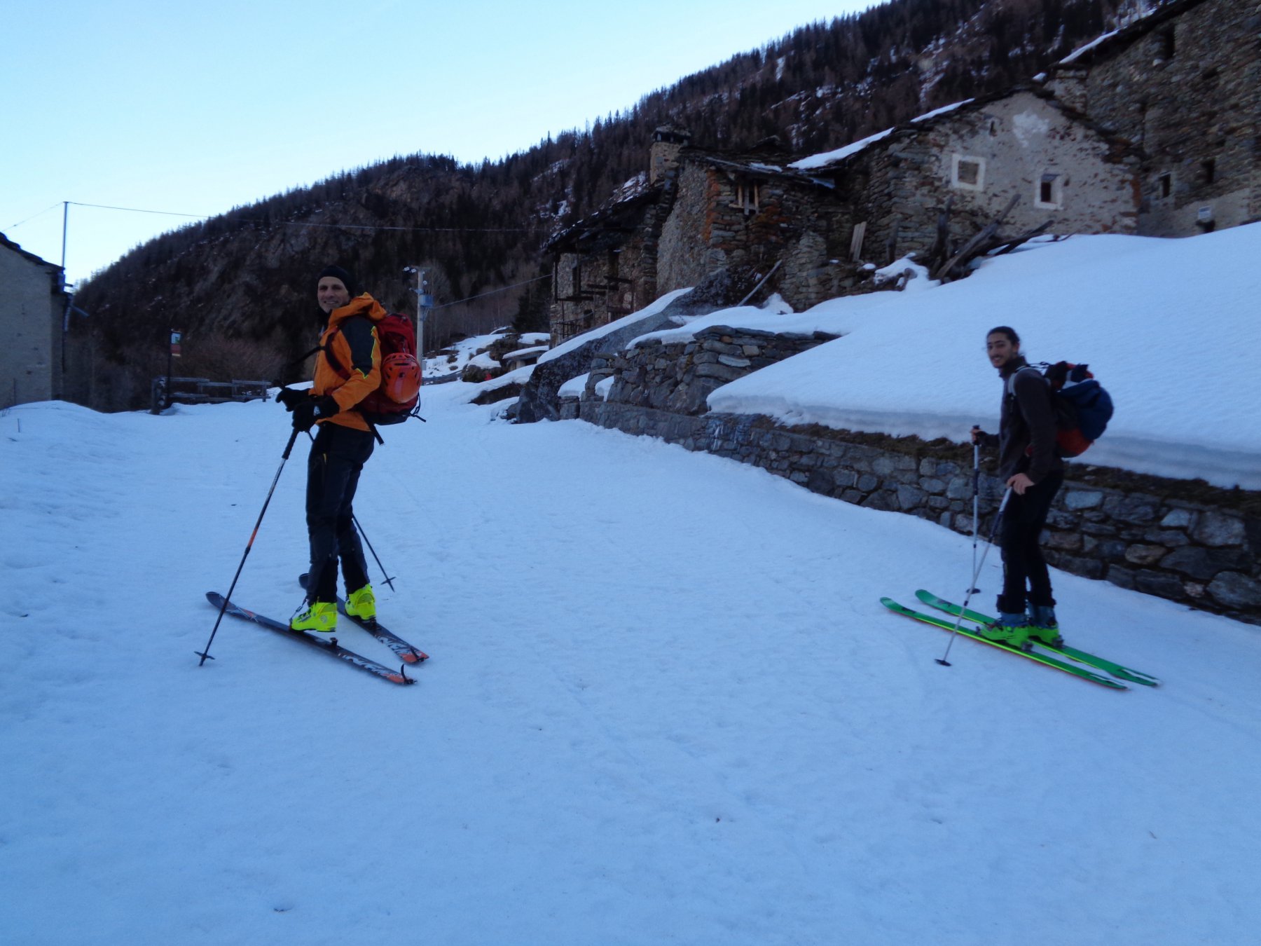
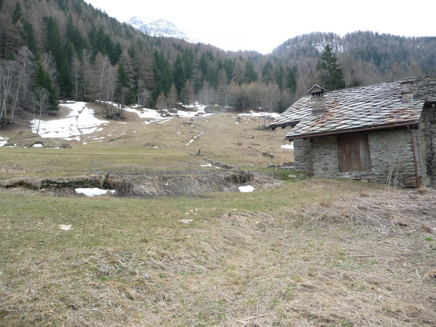
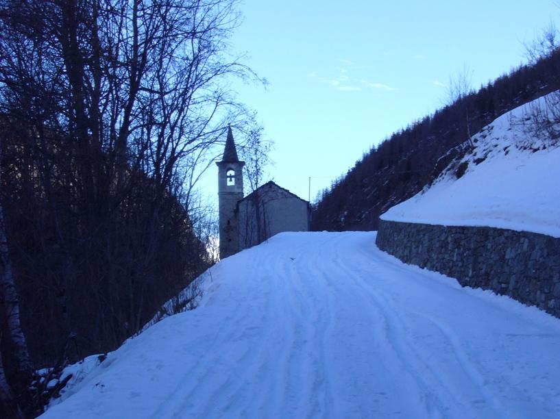
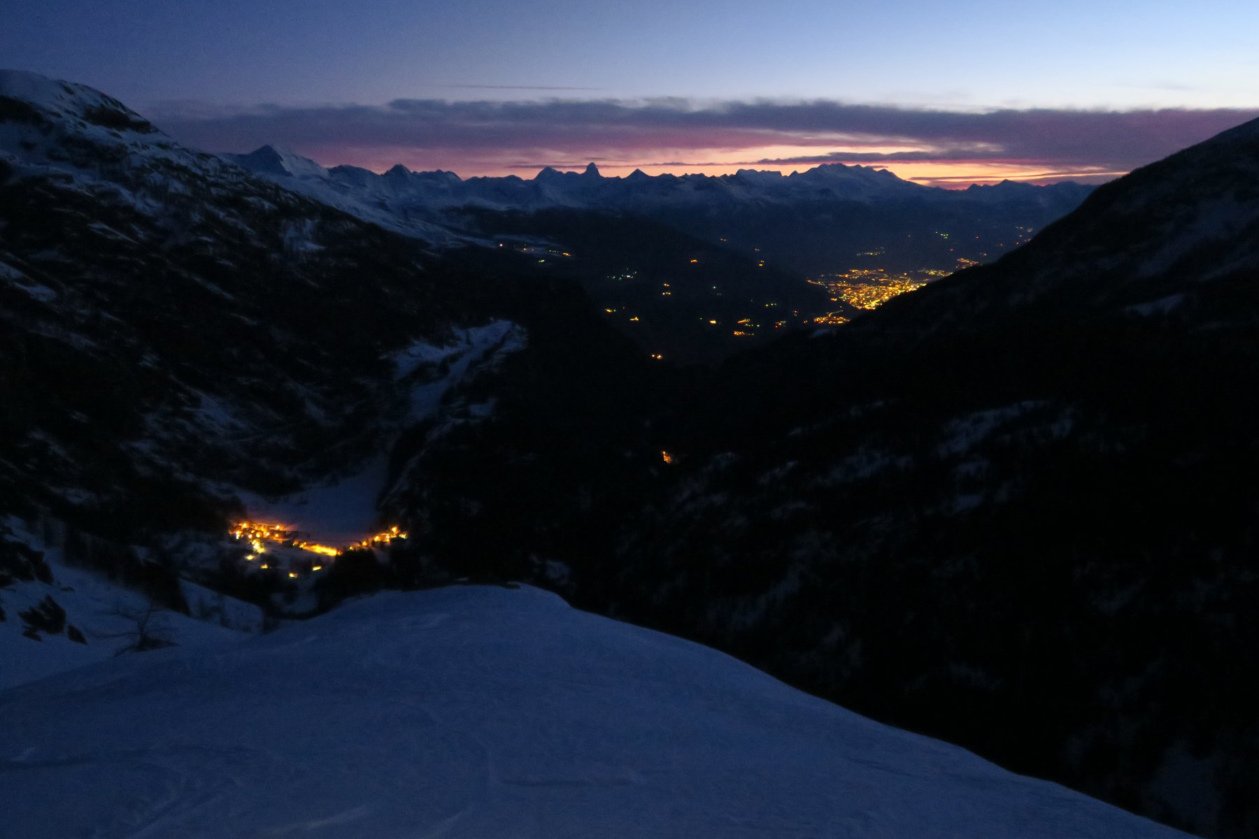
La strada per salire a Chamin durante l'inverno non viene pulita e la gita inizia in corrispondenza del ponte sulla Dora della Valgrisenche, vicino alla frazione Chamençon. Il dislivello sale in questo modo ad oltre 2100m. Chamin si raggiunge facilmente seguendo per 2Km la strada asfaltata.
Descrizione
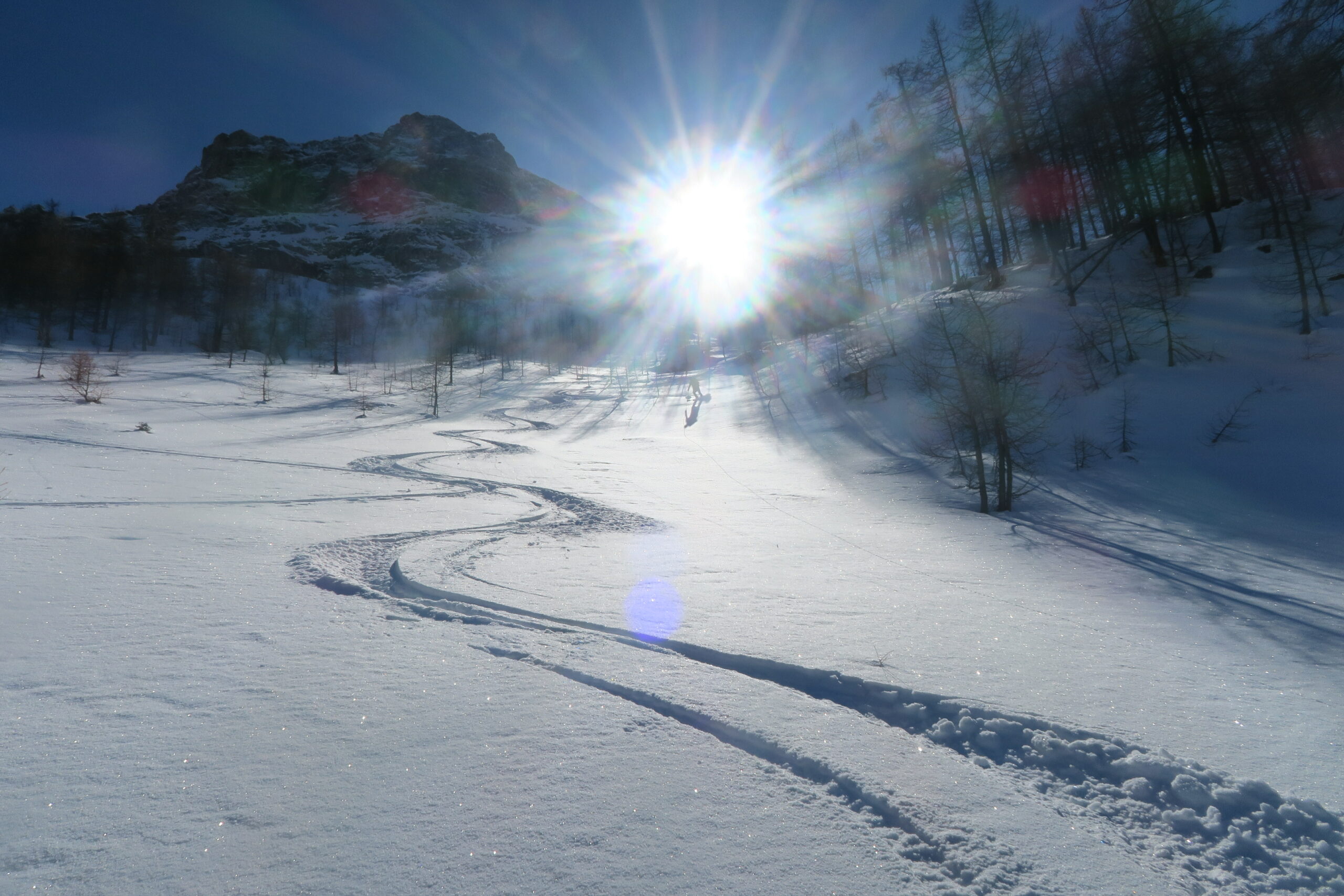
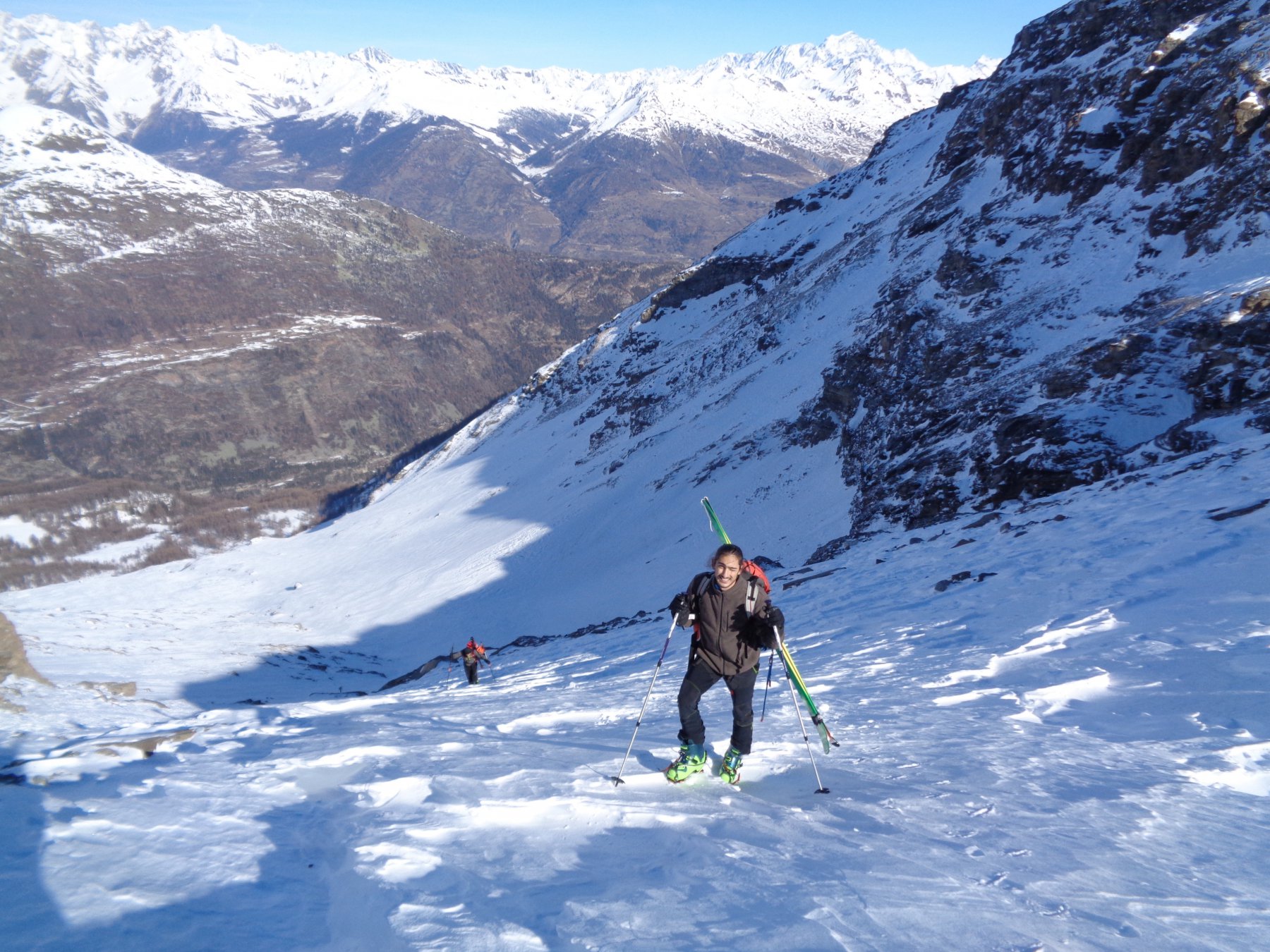
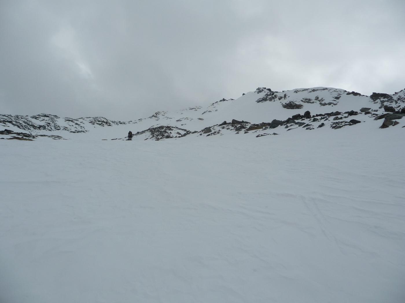
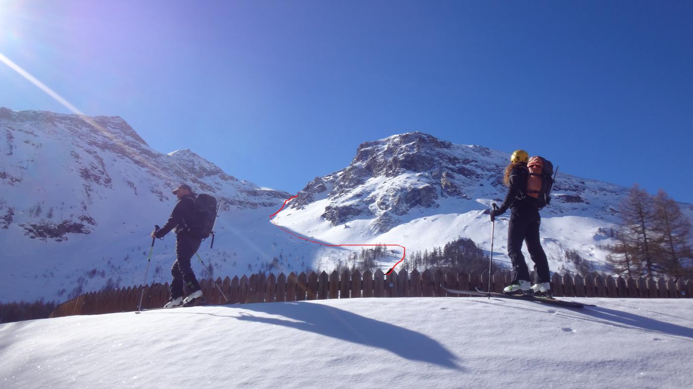
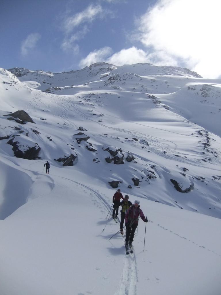
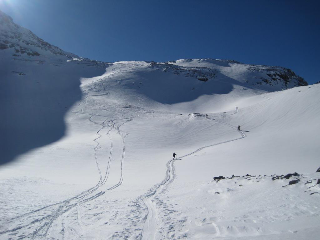
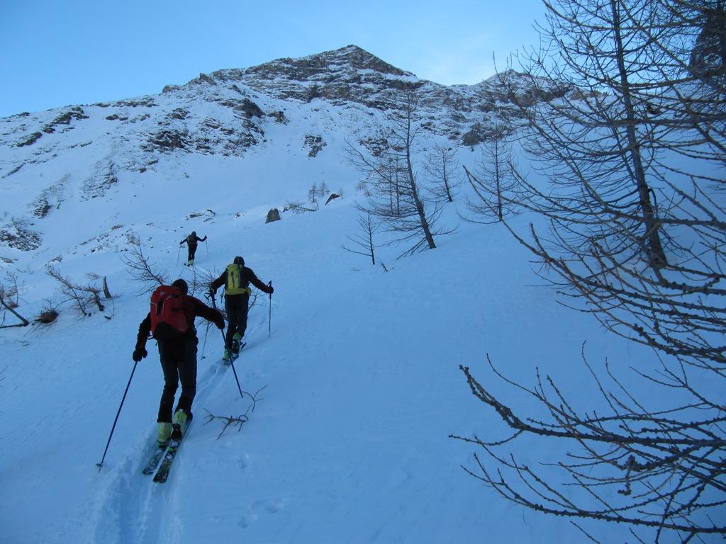
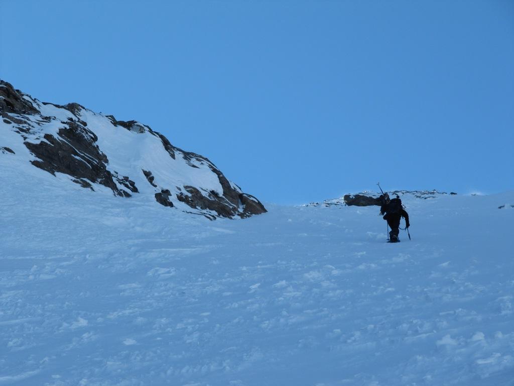
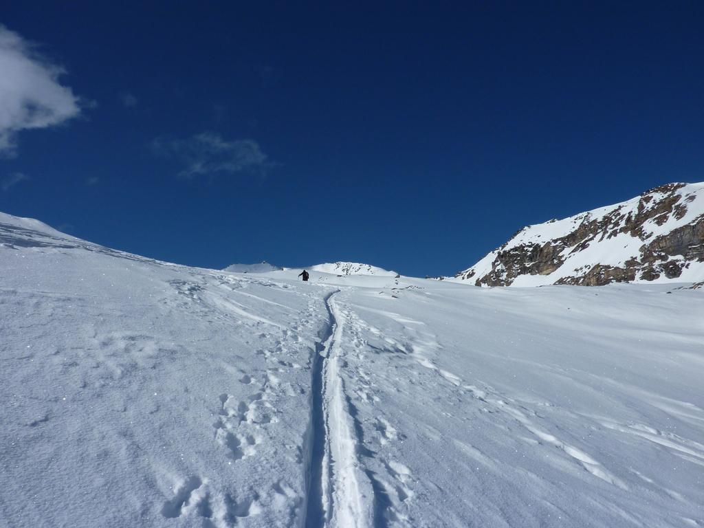
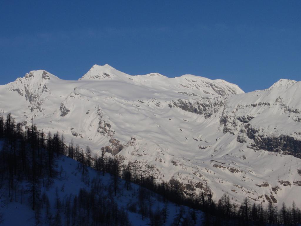
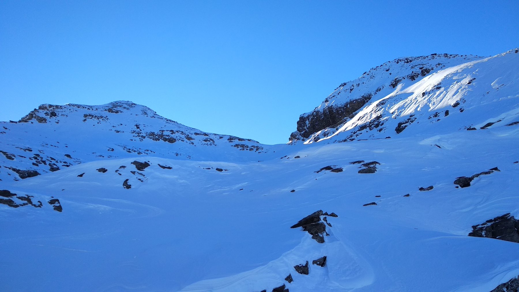
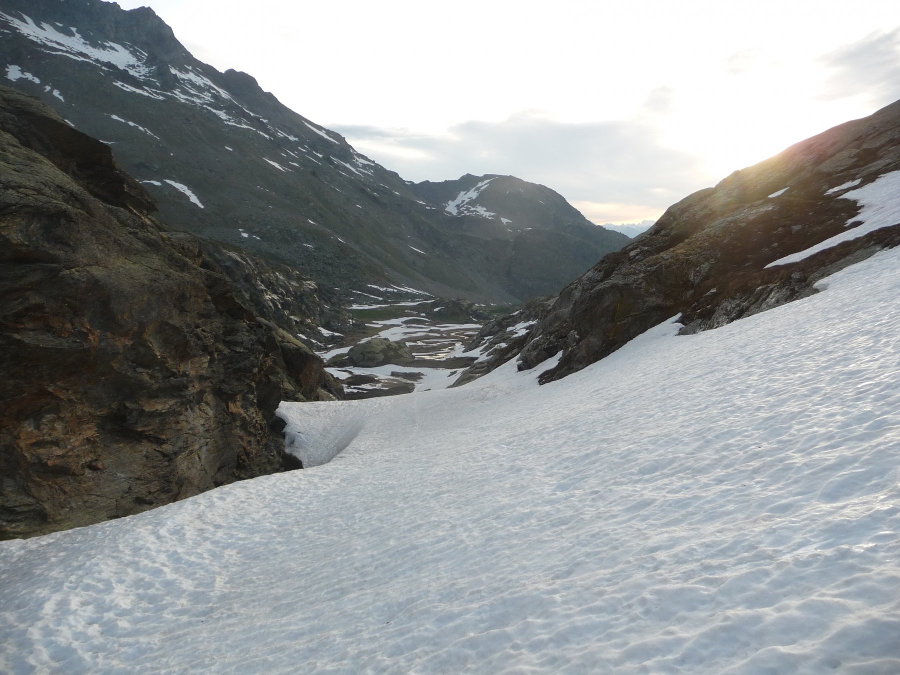
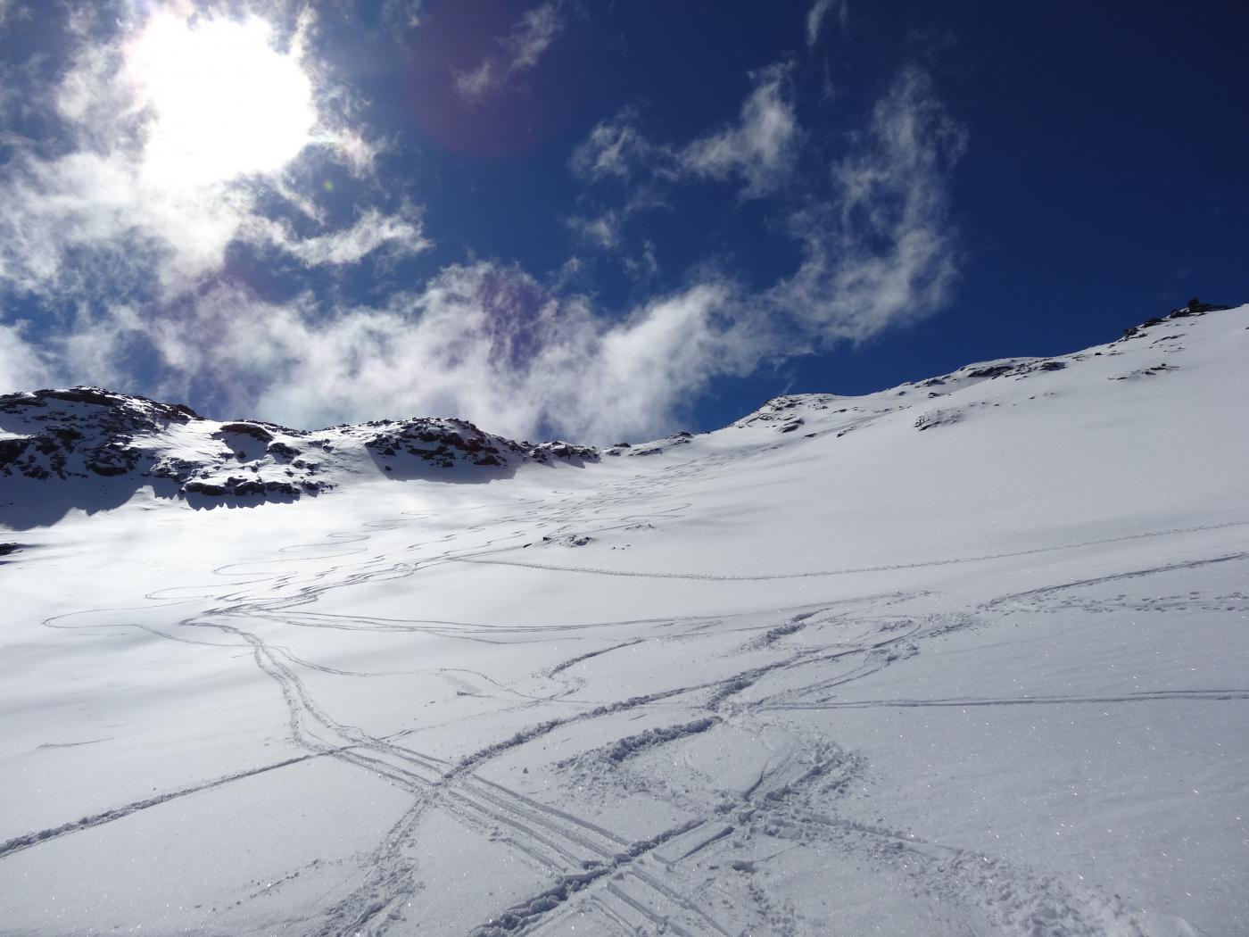
Dalla frazione Chamin si sale nel bosco in direzione SSW oppure a SSE lungo un canale ripido fino ad intersecare in entrambi i casi la strada che porta all’Alpe Province.
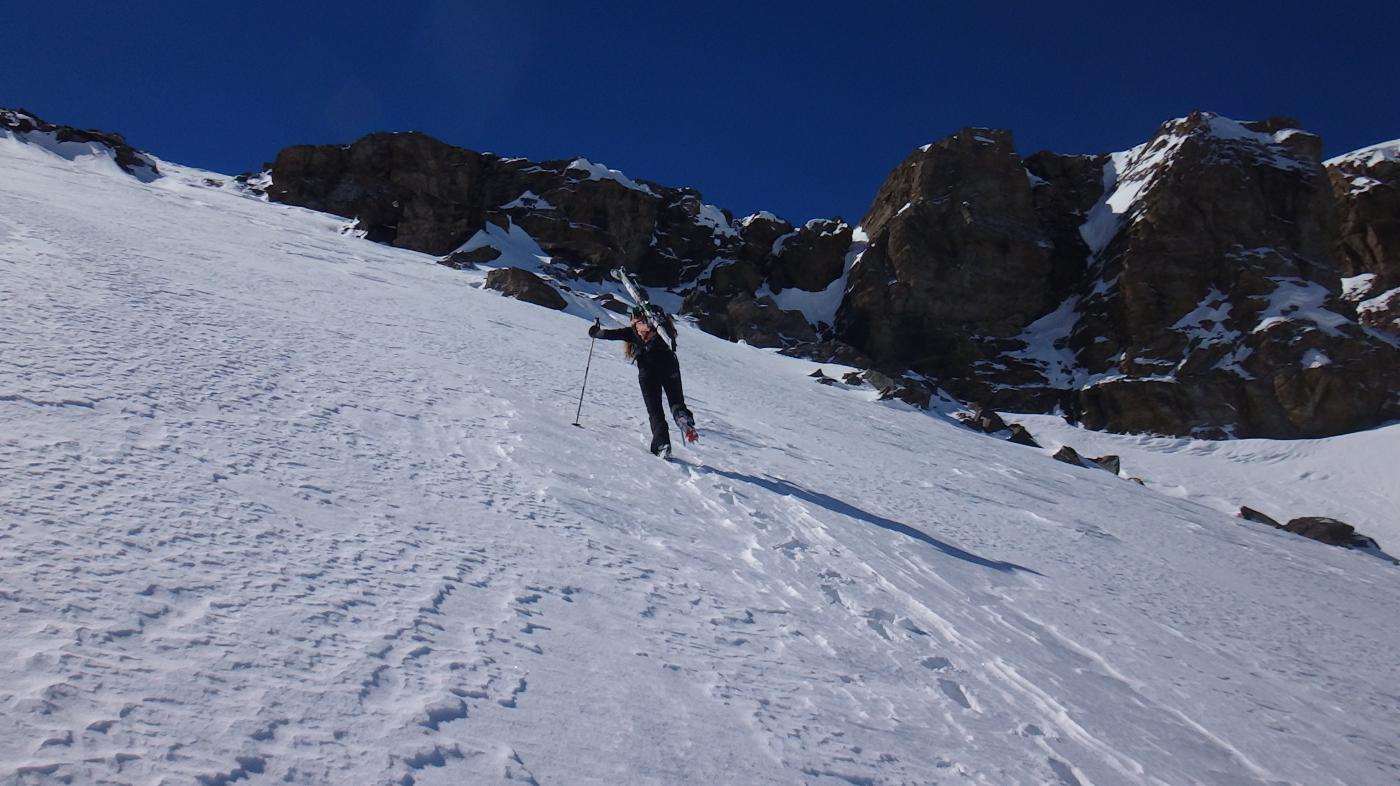
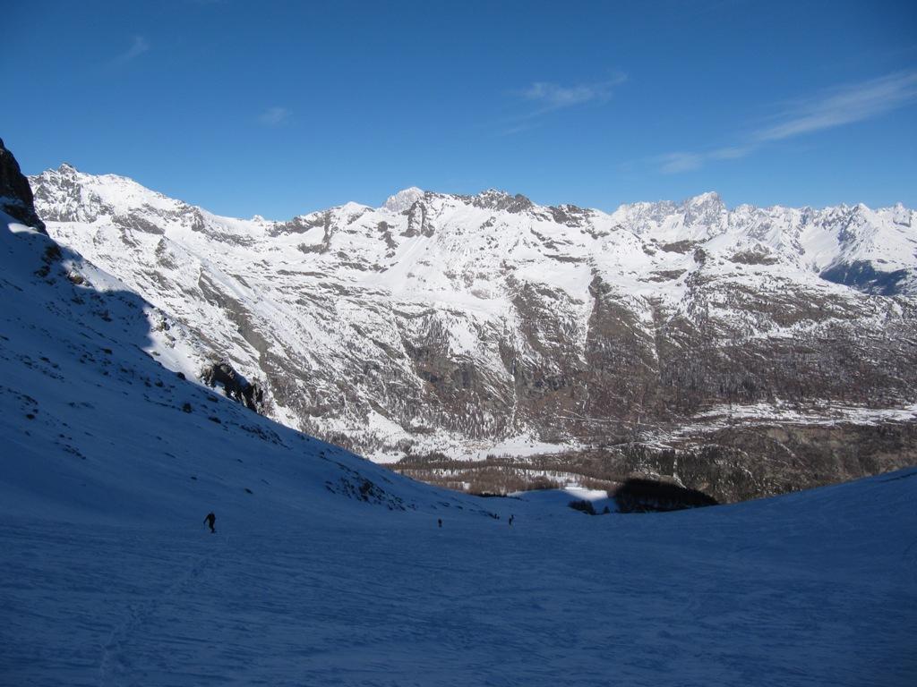
Usciti dal bosco ci si trova su bei pendii di fronte ad una bastionata rocciosa poco accennata, superarla prendendo il canale-pendio (non ripido) a sinistra della bastionata stessa.
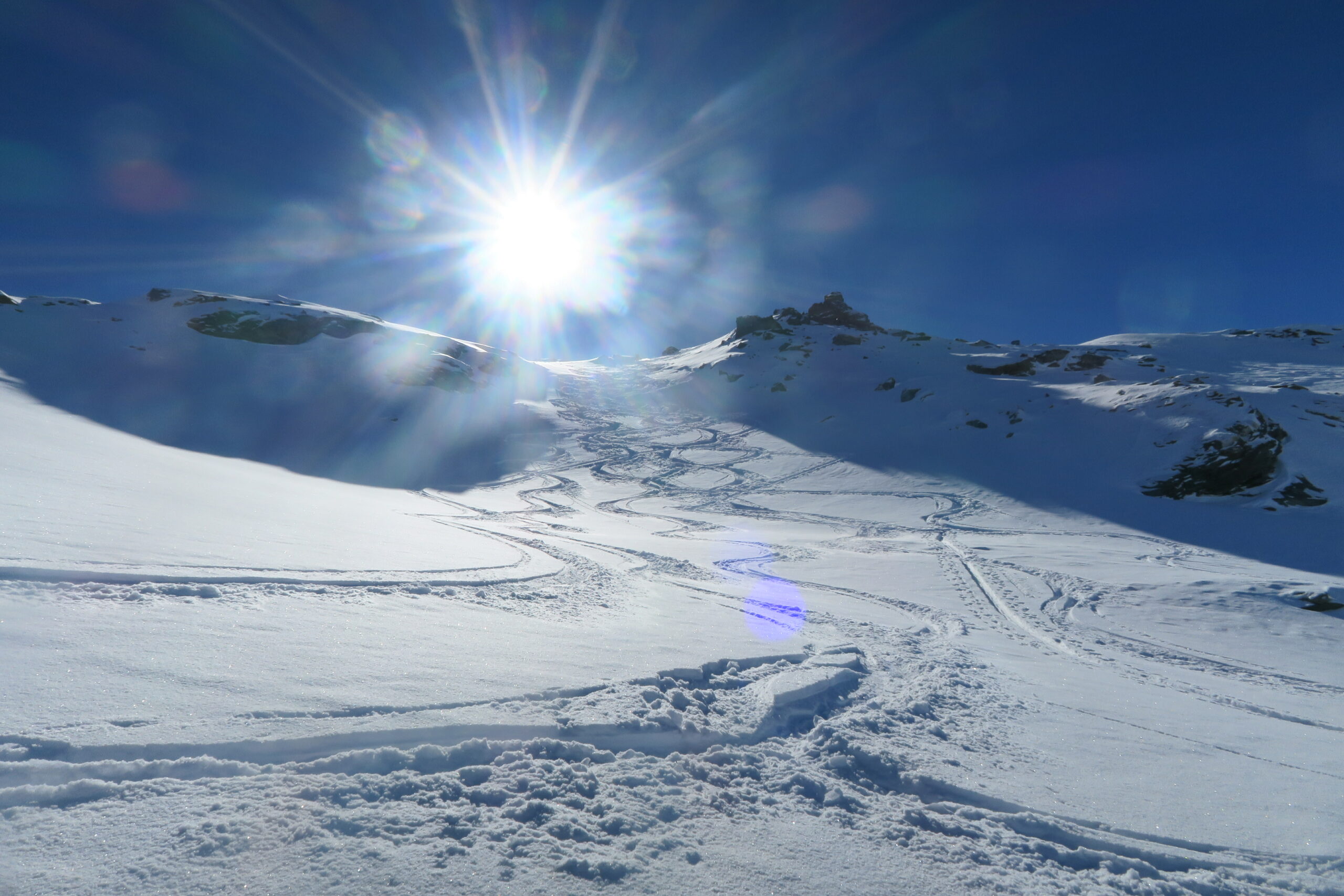
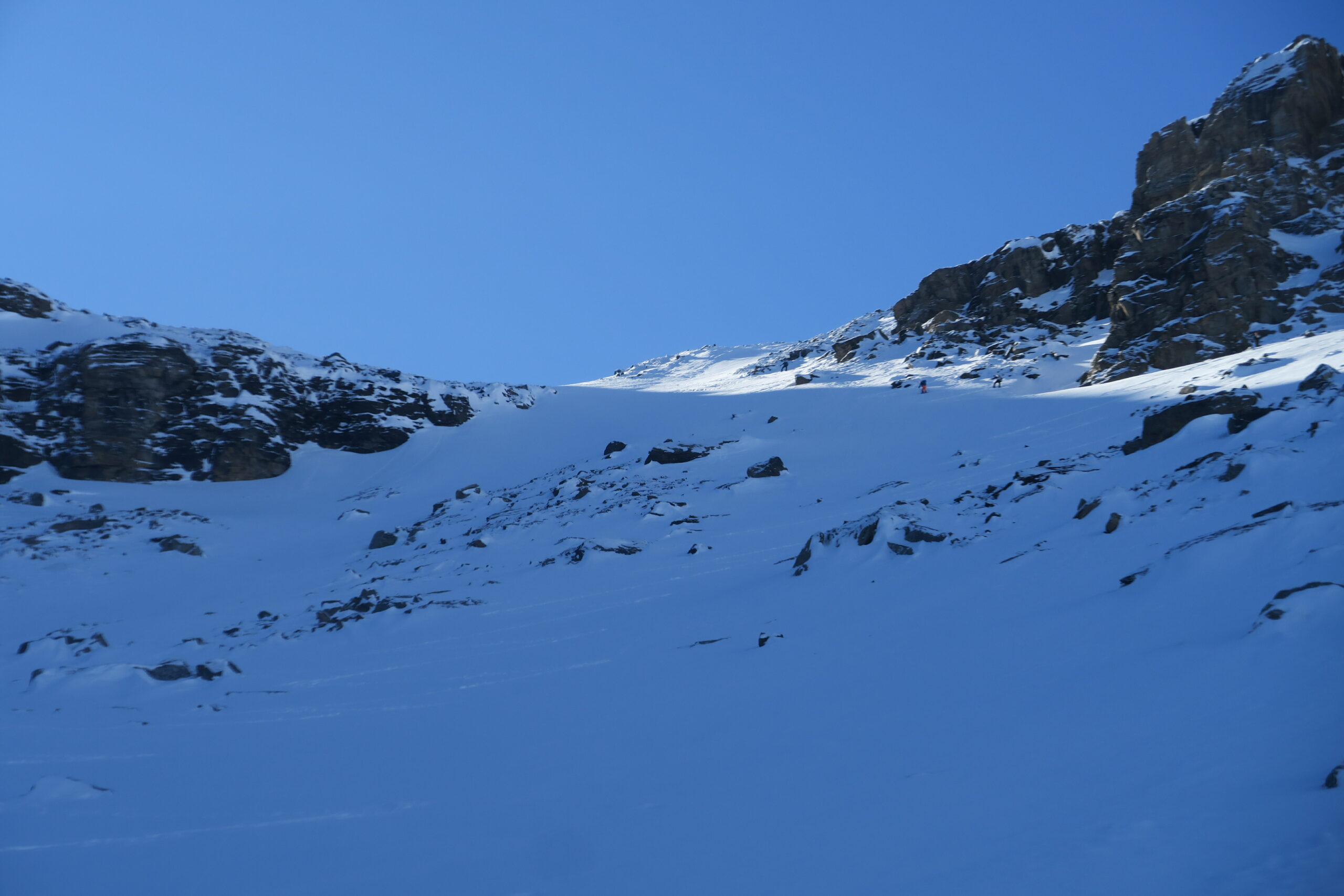
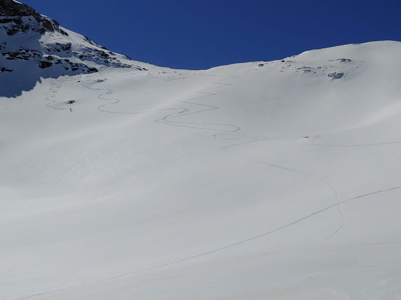
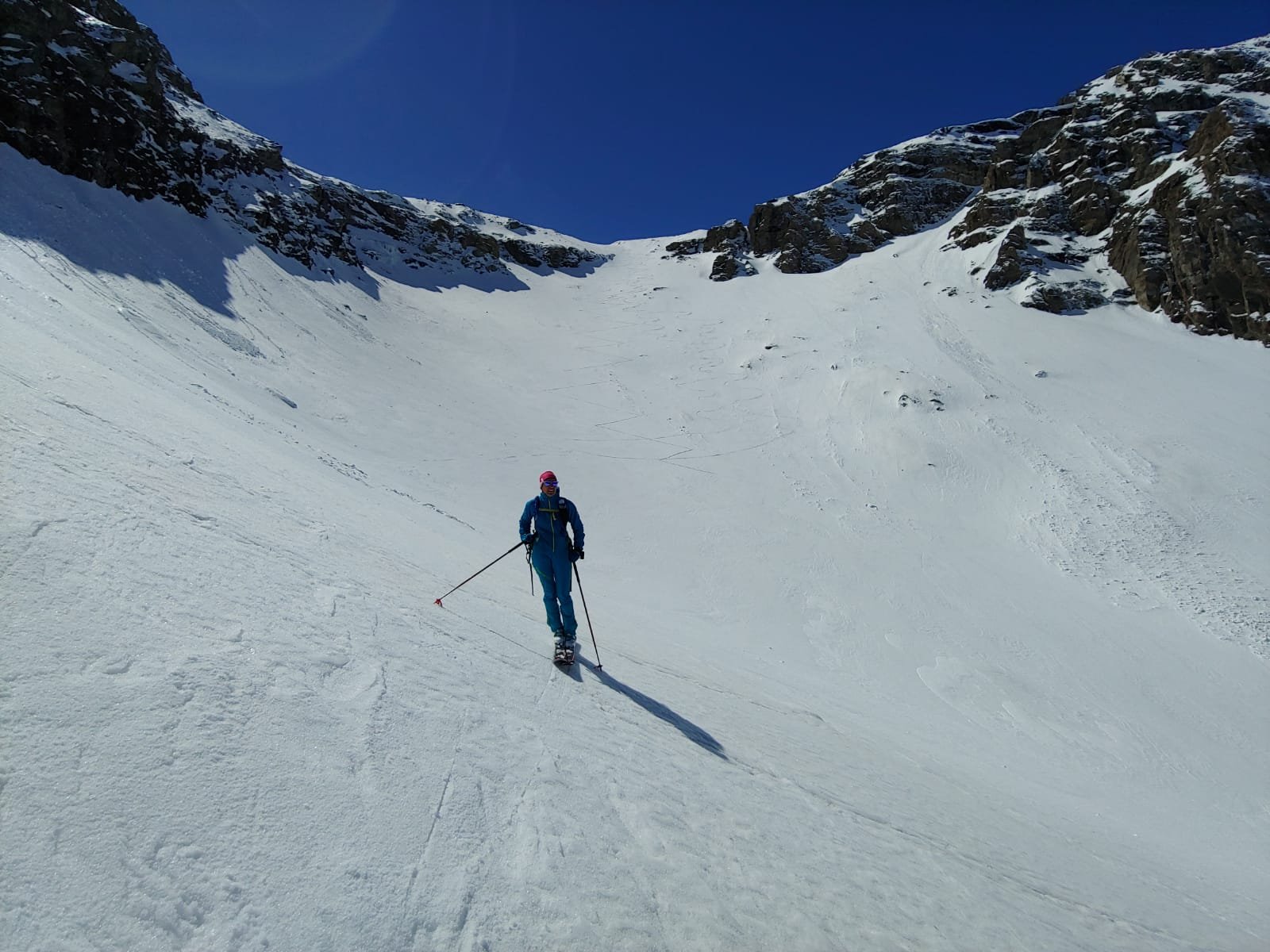
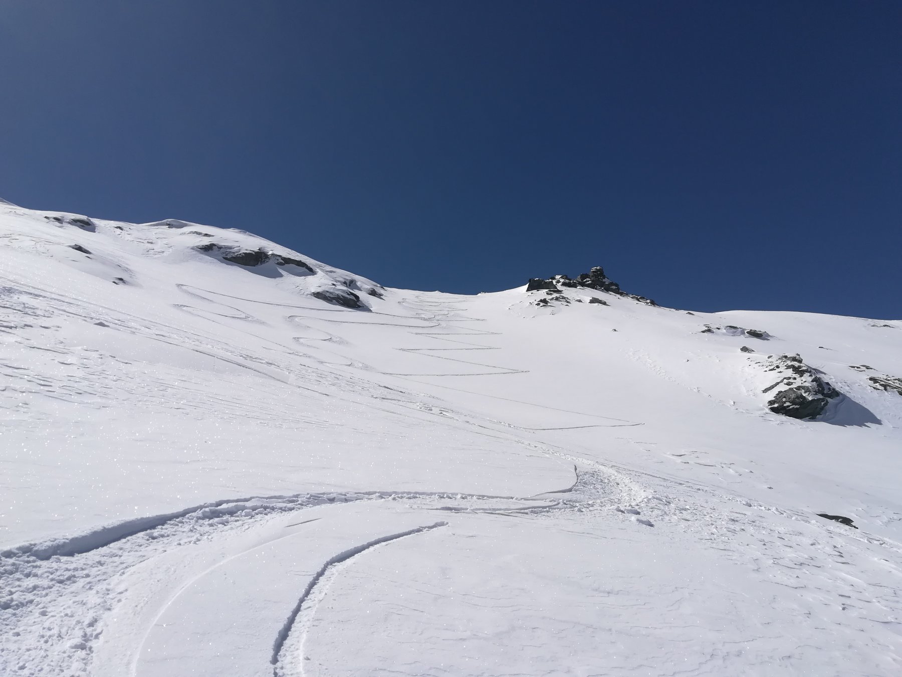
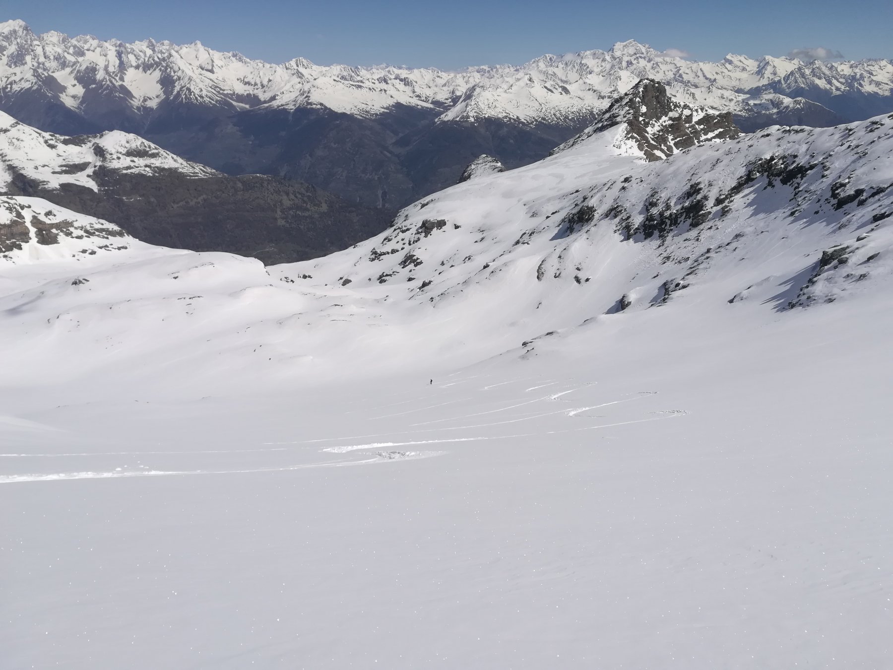
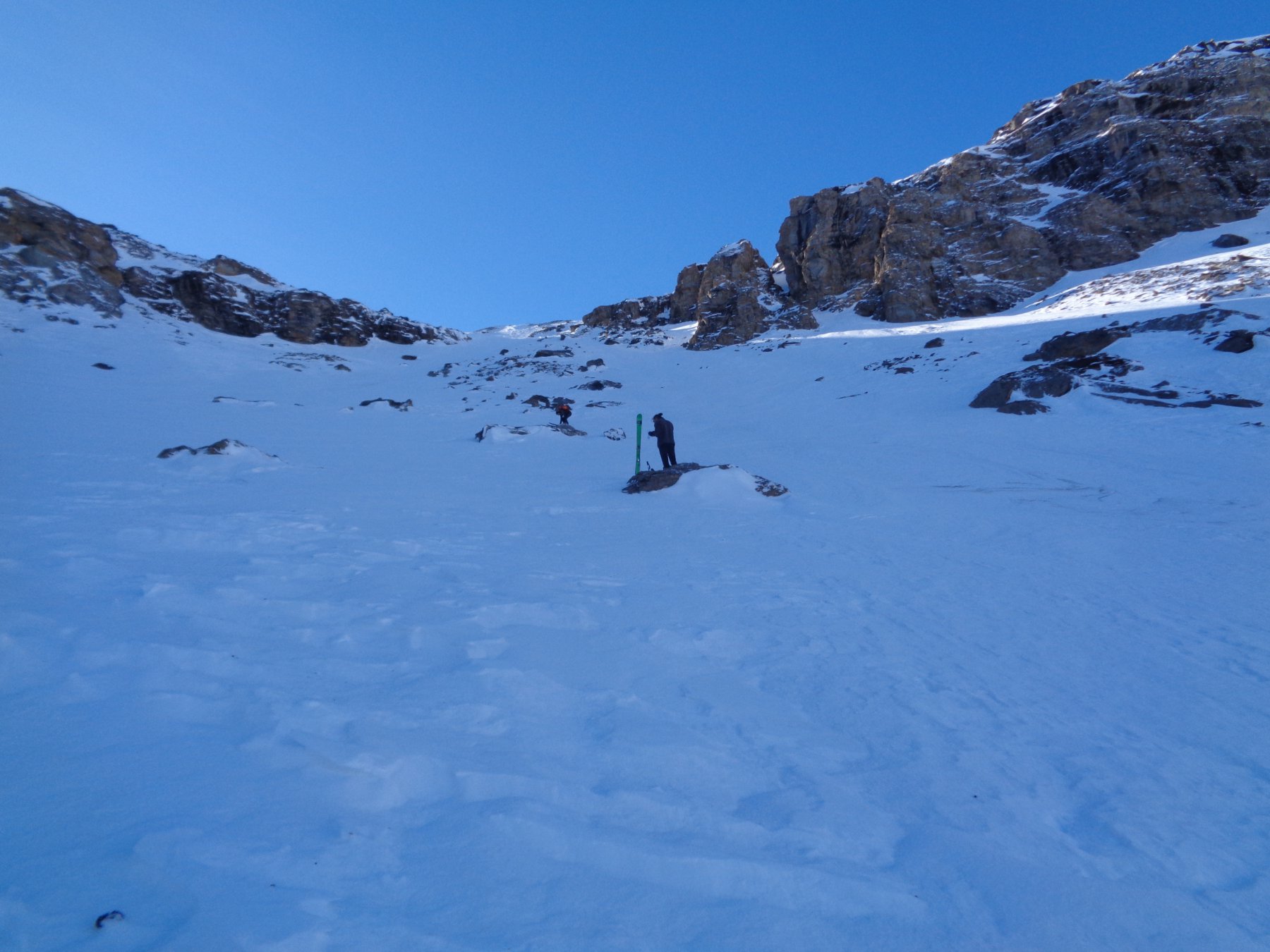
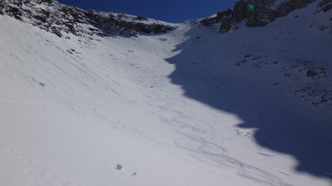
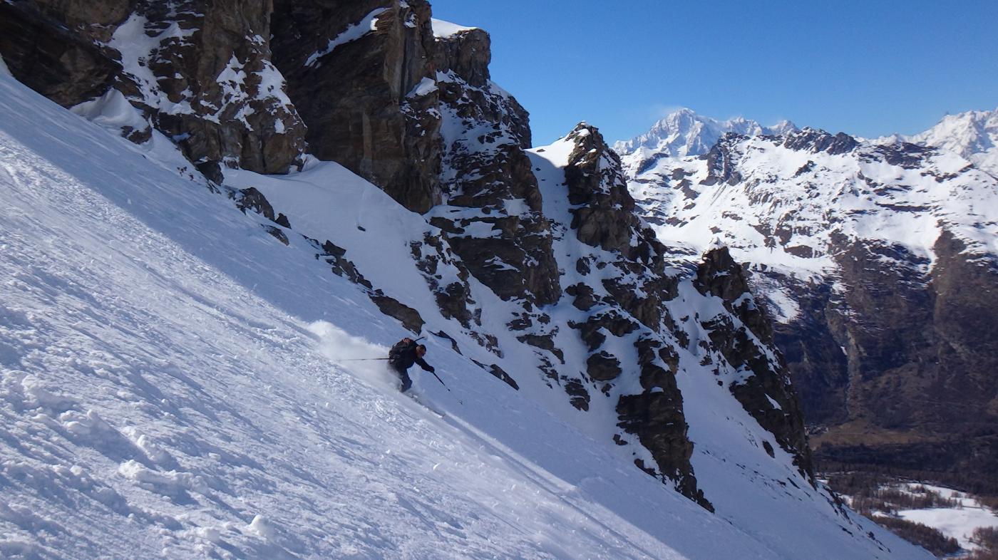
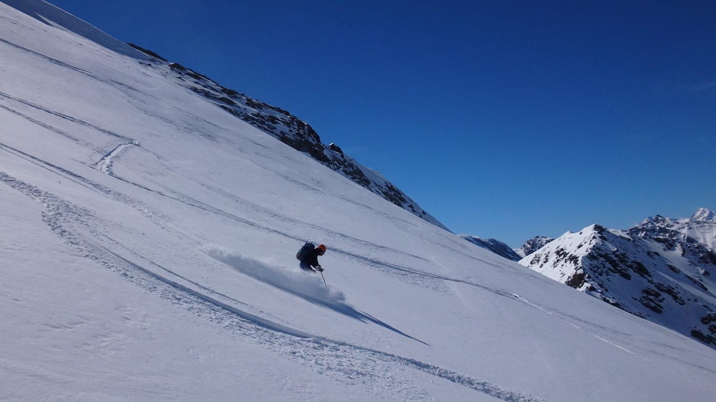
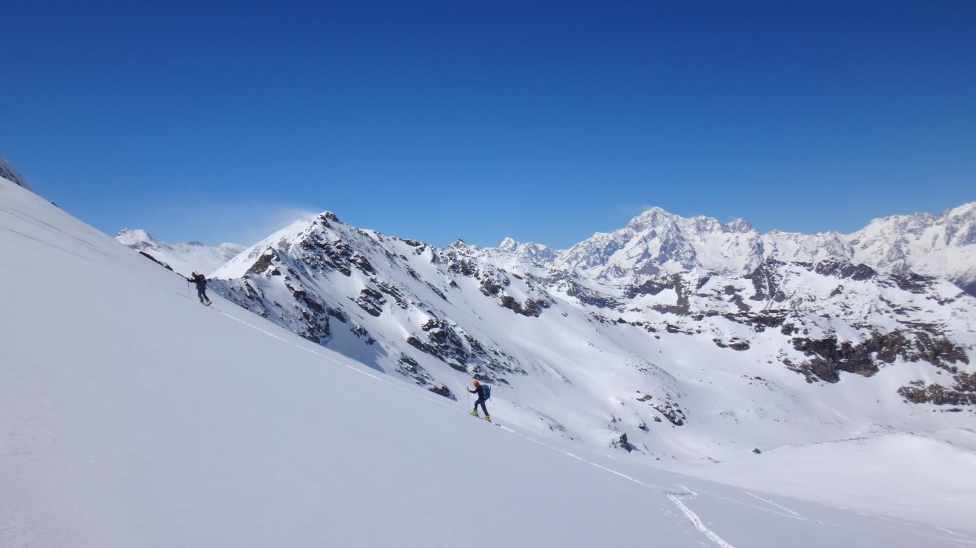
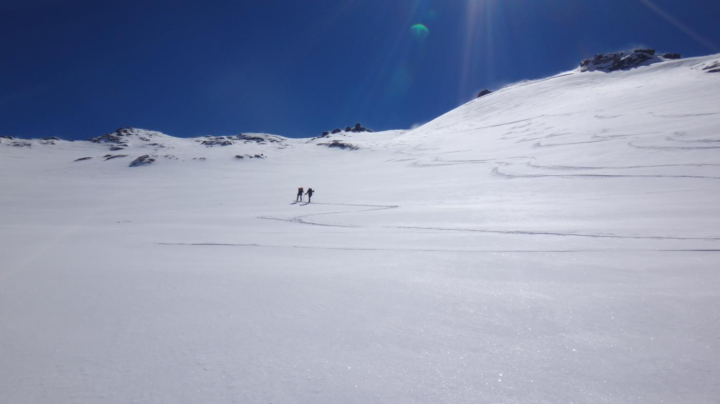
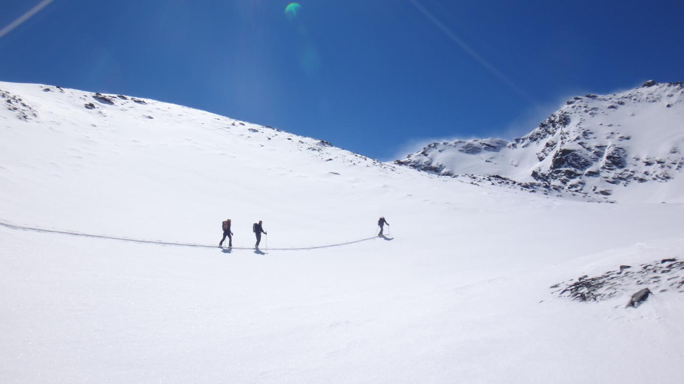
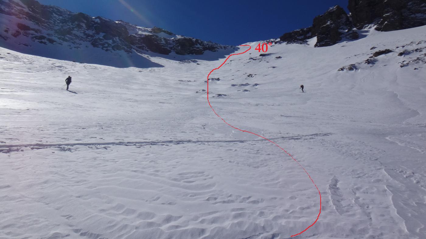
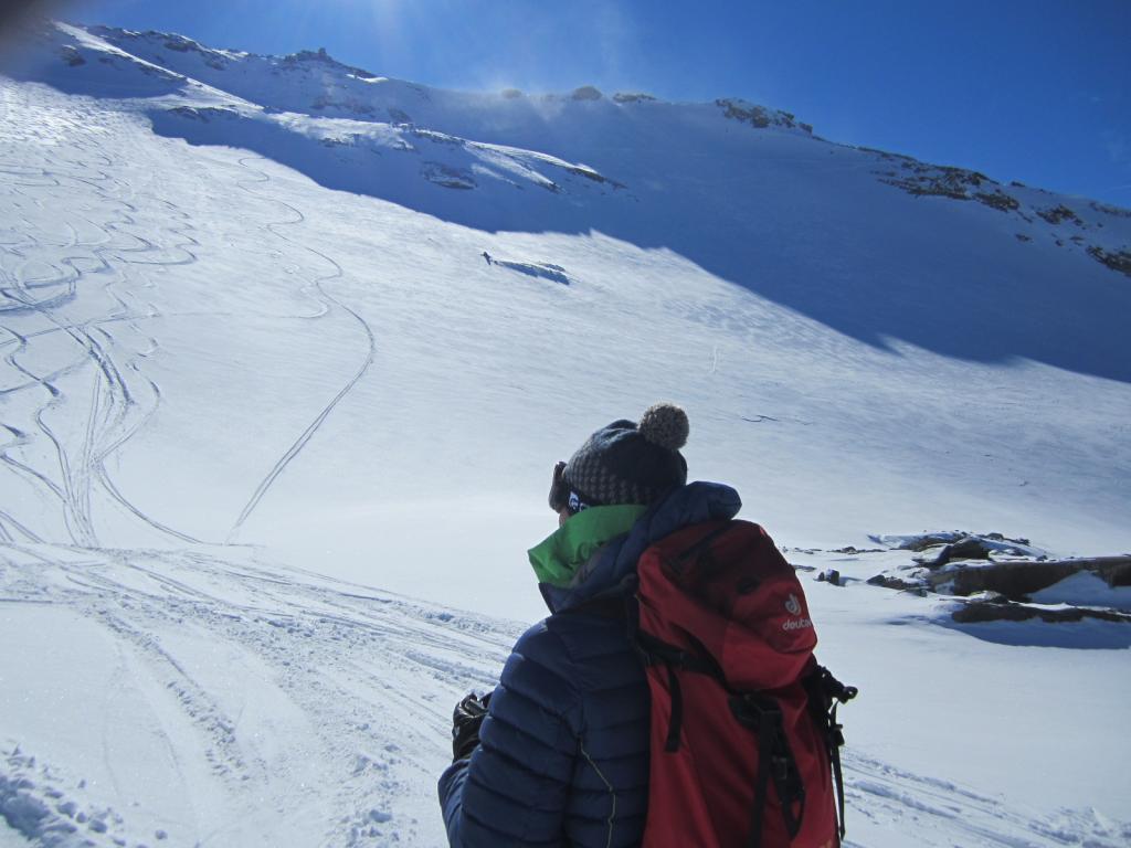
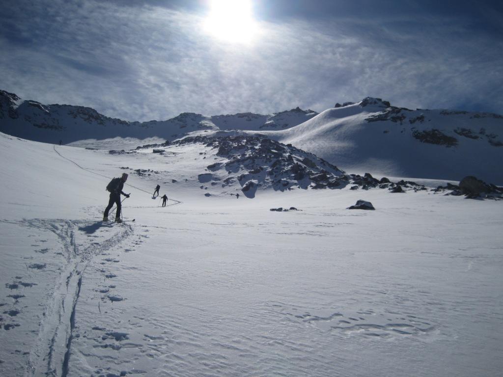
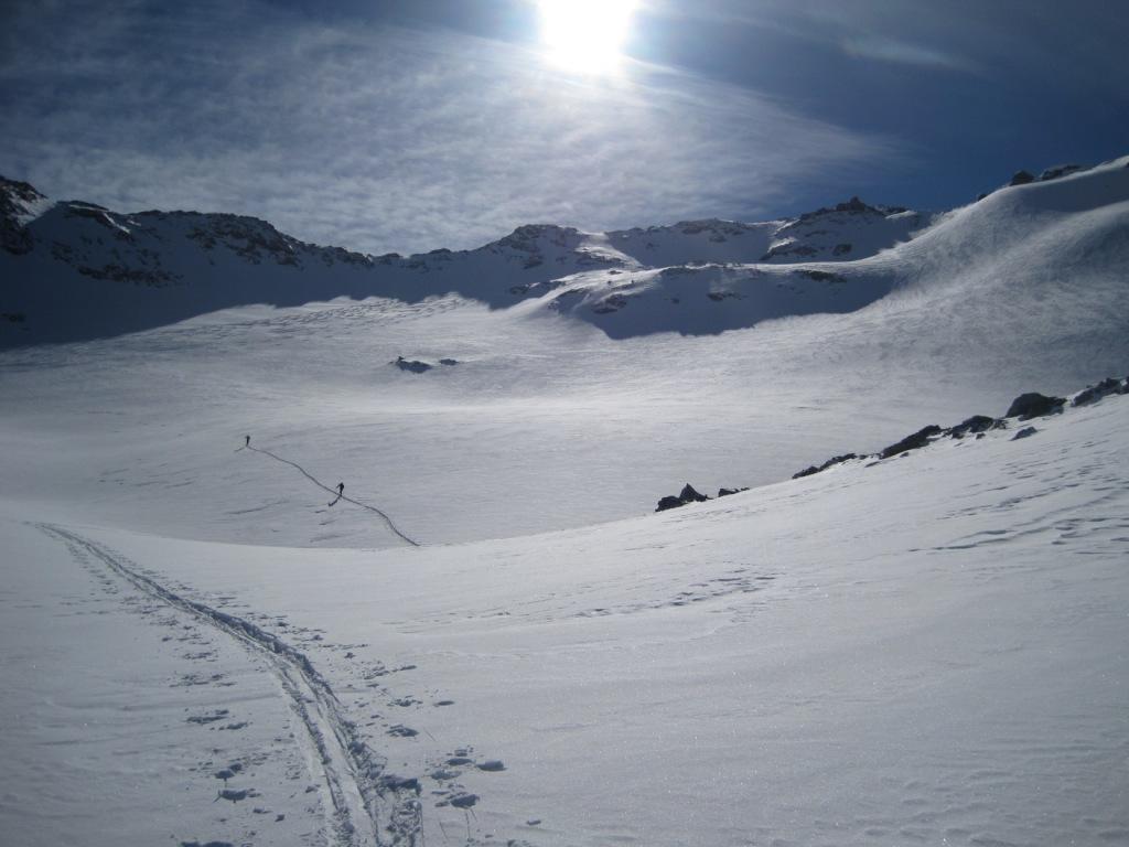
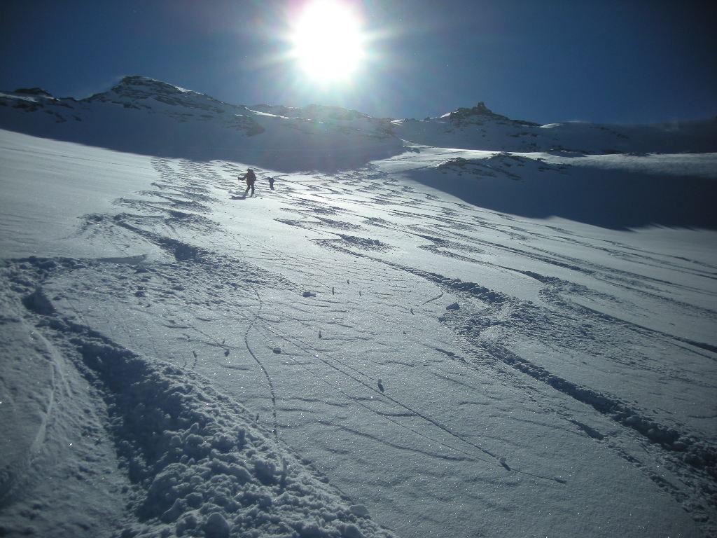
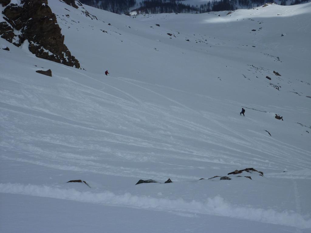
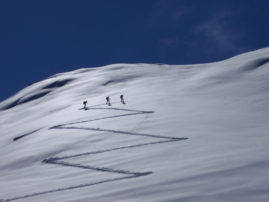
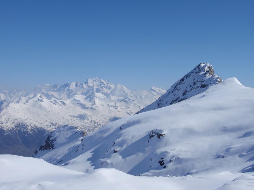
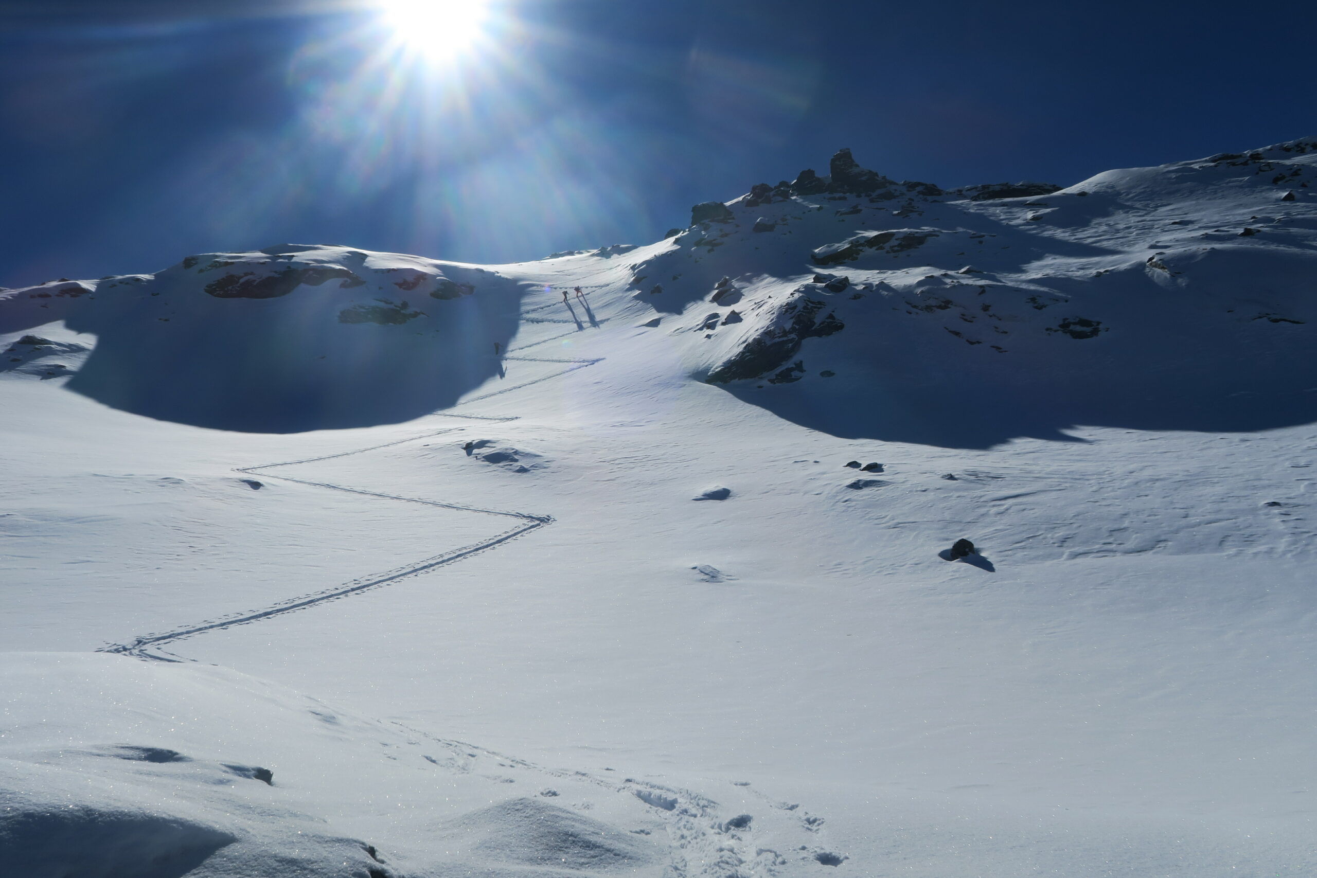
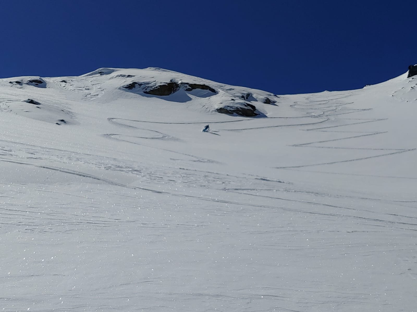
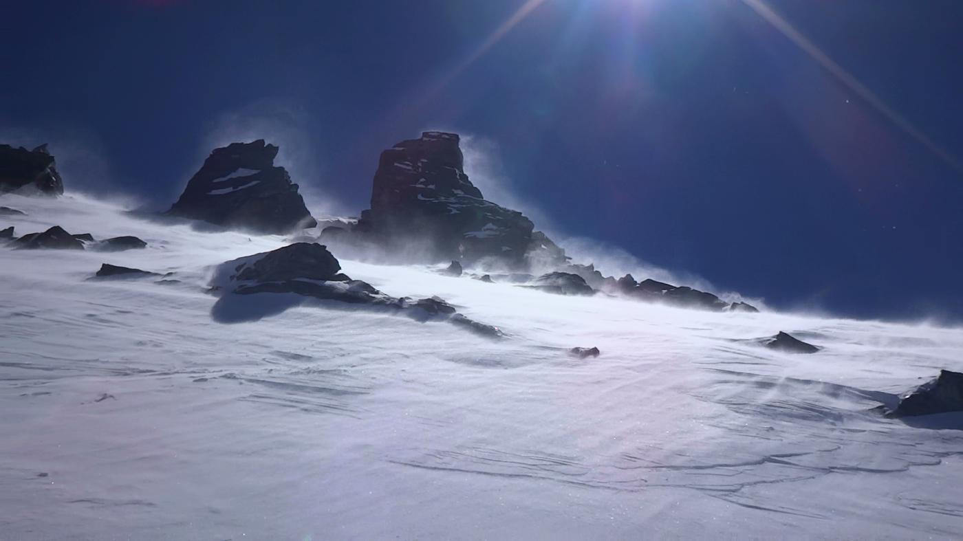
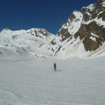
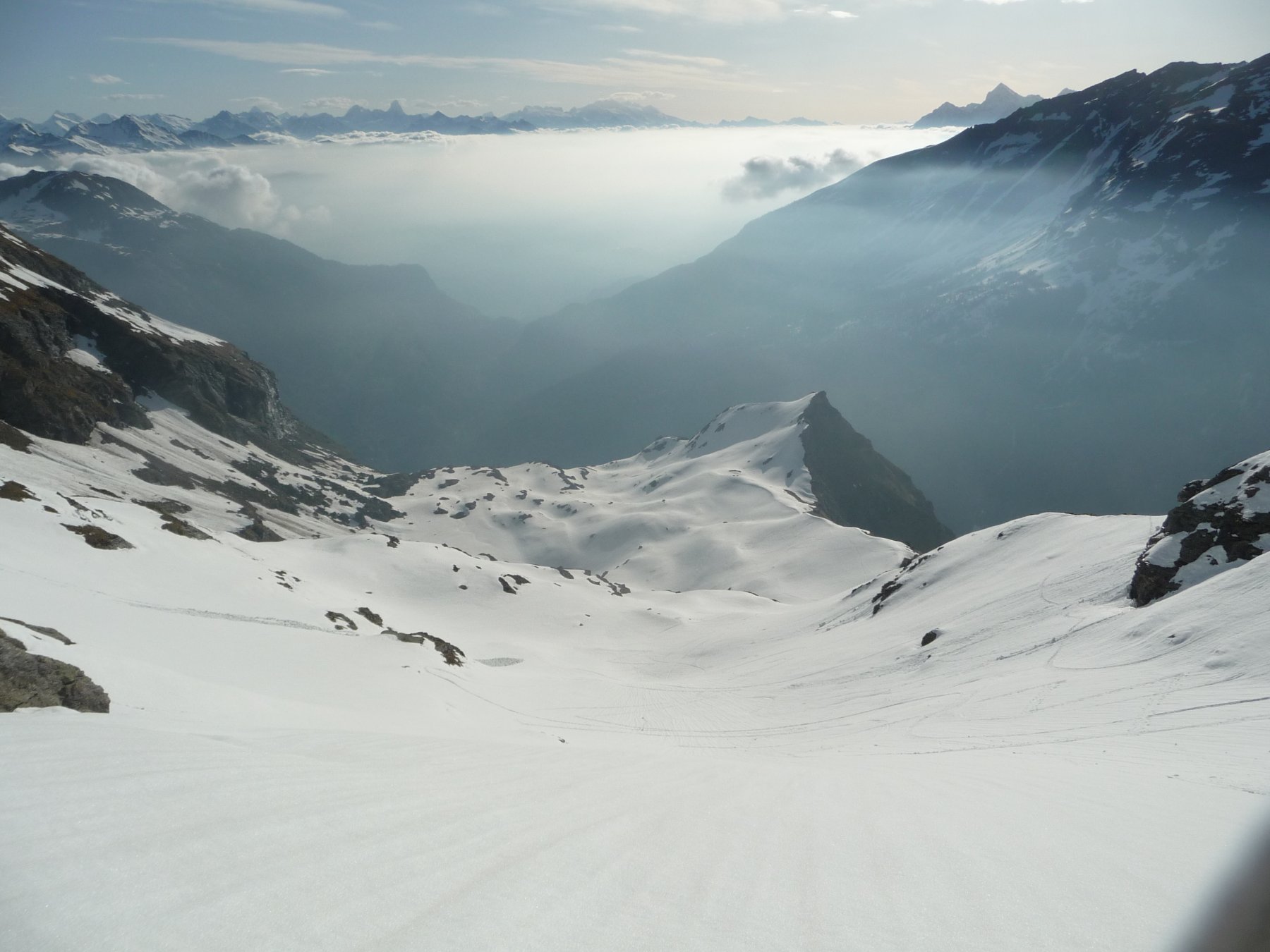
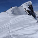
Usciti da questo breve canale, ci si ritrova di fronte un classico anfiteatro roccioso: puntare al fondo dell’anfiteatro e prendere il canale ripido sulla destra (stimo sui 35-40° nel punto più alto e ripido) fino a raggiungere un bel pianoro.
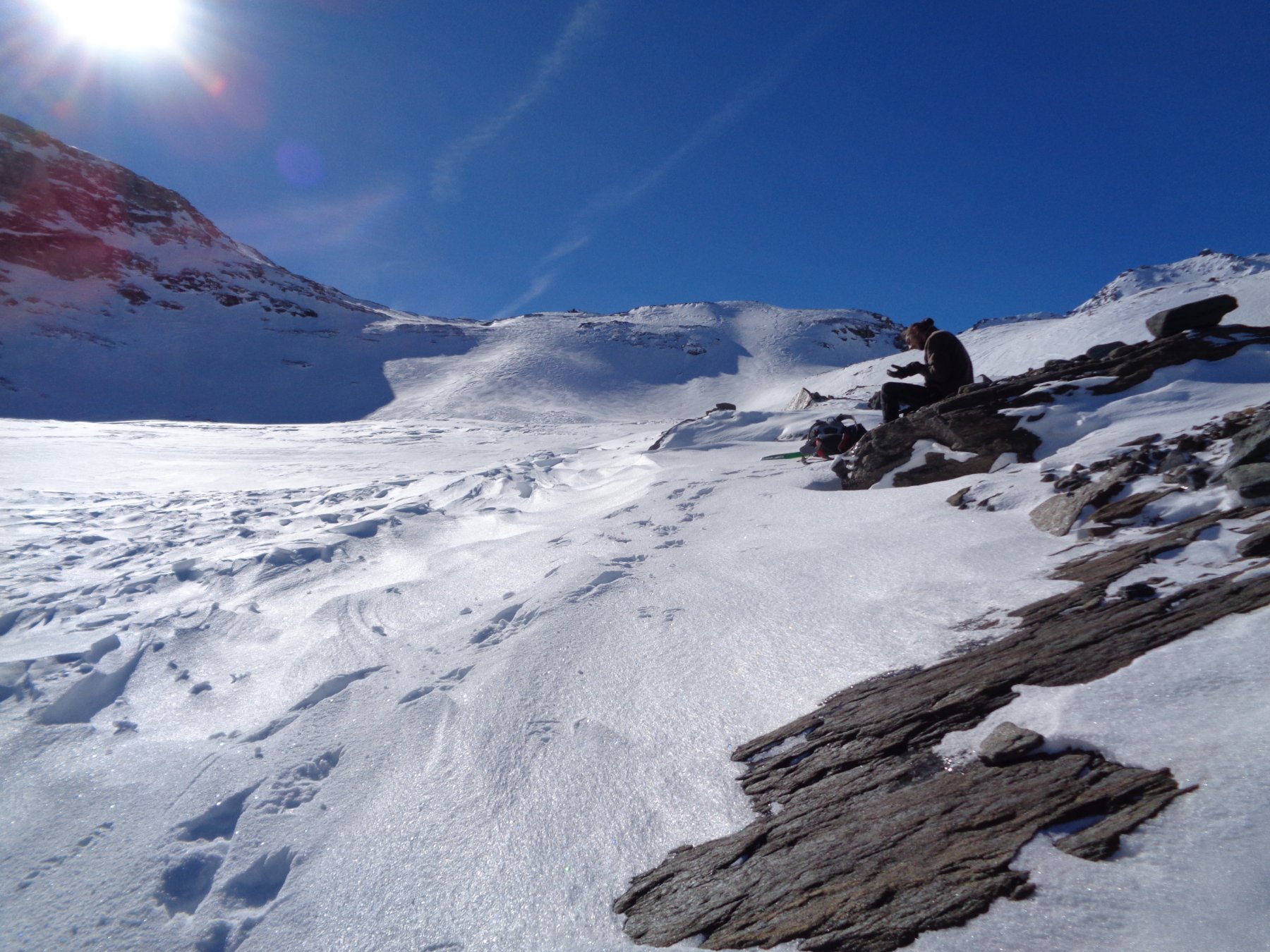
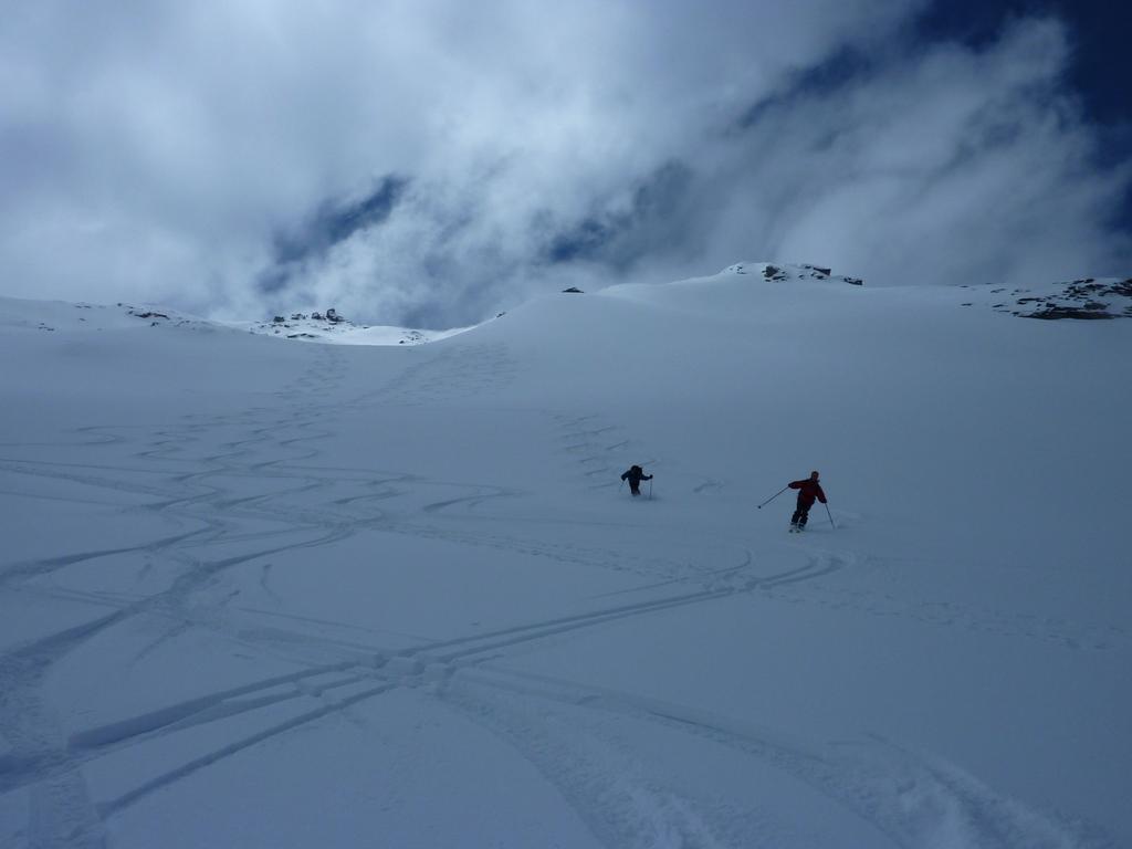
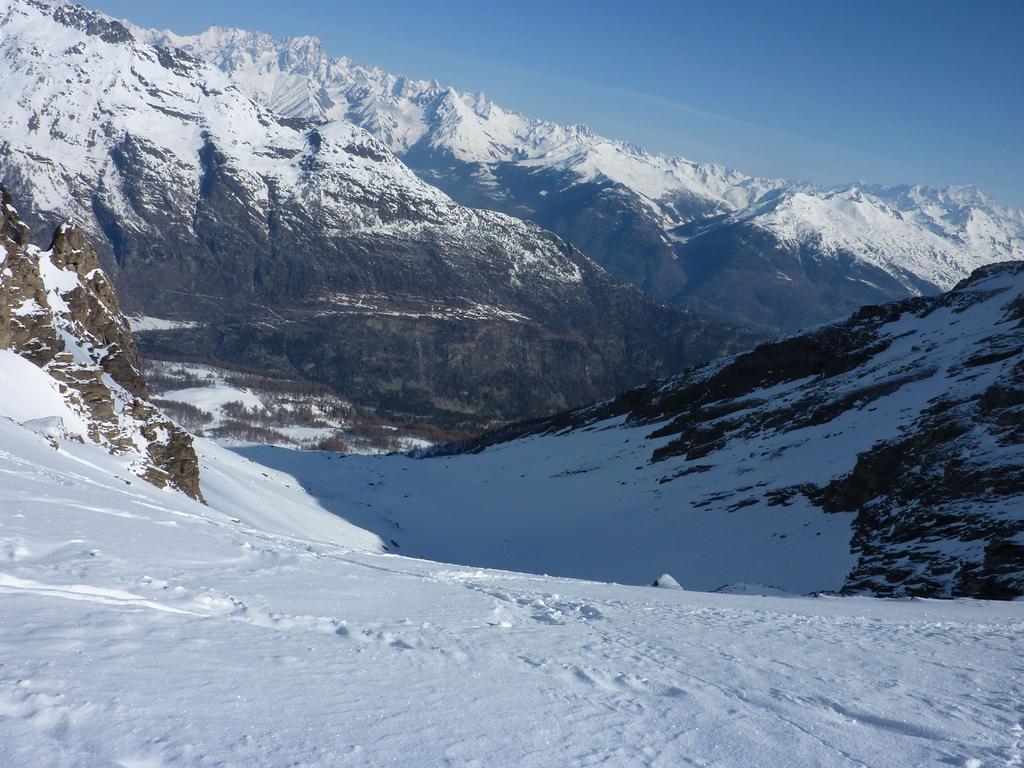
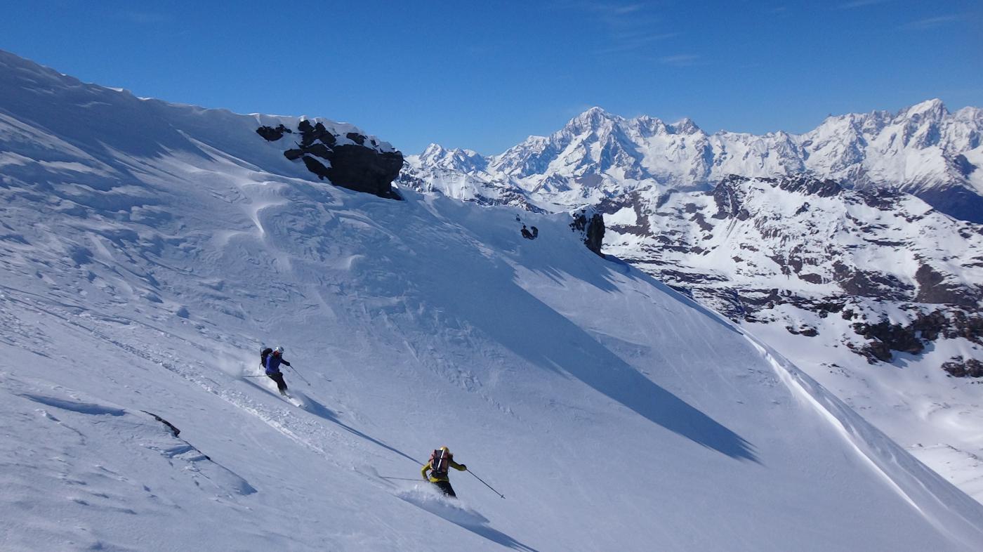
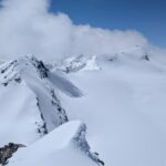
Puntare ora verso l’evidente massiccio che si trova sulla sinistra, ma attenzione, la Becca non è quella: arrivati ad un valloncello dove si dovrebbe scendere, voltare nettamente a sinistra e, dopo un breve tratto piano, puntare alla punta che si intravede in lontananza.
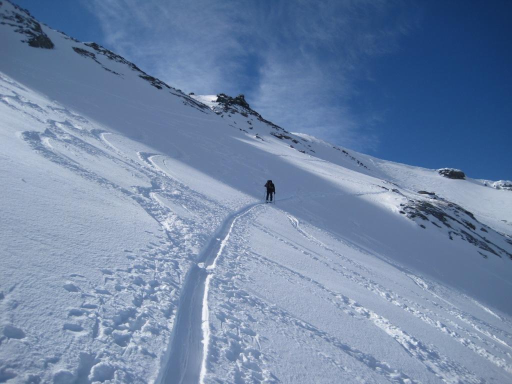
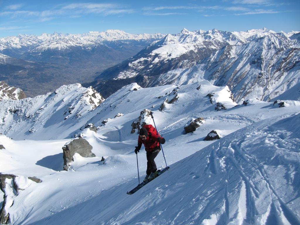
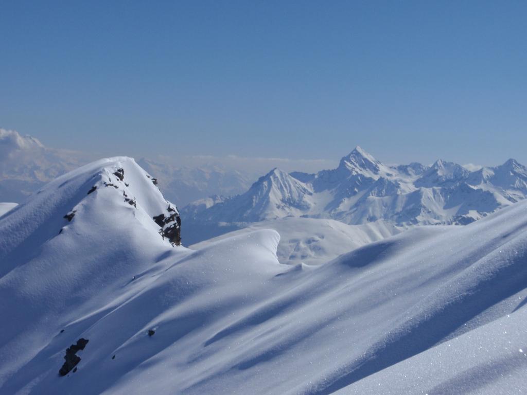
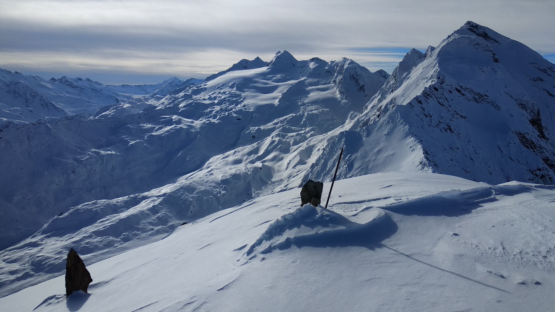
Ancora 300m di dislivello e la fatica è finita.
Nelle vicinanze Mappa
Itinerari
15/12/2018 AO, Arvier D+ 1764 m BSA Nord-Ovest
Grand Revers da Chamin
 50m
50m
23/04/2026 AO, Avise D+ 1880 m BSA, PD- Est
Doravidi (Monte, punta nord) da Planaval per il versante Est
 3.2Km
3.2Km
23/02/2021 AO, Avise D+ 1370 m BS Nord-Est
Crosatie (Punta e Col de la) da Planaval
 3.2Km
3.2Km
03/02/2018 AO, Arvier D+ 1030 m BS Sud-Est
Tour Ronde da Planaval
 3.2Km
3.2Km
06/06/2021 AO, Arvier D+ 2050 m BS Tutte
Doravidi (Monte, punta nord) da Planaval, anello per il Colle di Planaval
 3.2Km
3.2Km
28/03/2026 AO, Arvier D+ 1950 m BSA Nord-Est
Rutor (Testa del) da Planaval per il Colle dello Chateau Blanc
 3.2Km
3.2Km
08/06/2026 AO, Arvier D+ 1851 m BSA, F Nord-Est
Chateau Blanc da Planaval
 3.2Km
3.2Km
23/05/2020 AO, Arvier D+ 1360 m MS Nord-Est
Planaval (Passo di) da Planaval
 3.2Km
3.2Km
19/03/2024 AO, Arvier D+ 2000 m BSA, F+ Tutte
Flambeau da Planaval, traversata colli di Planaval e dello Chateau Blanc
 3.4Km
3.4Km
21/04/2026 AO, Valgrisenche D+ 1772 m BS Nord
Tos (Becca di) da Revers
 3.9Km
3.9Km