600m
600m


Note
Storico
 50m
50m
50m
50m
50m
50m
2.1Km
2.1Km
3.4Km
5.2Km
50m
50m
50m
50m
50m
50m
2.1Km
2.1Km
3.4Km
5.2Km
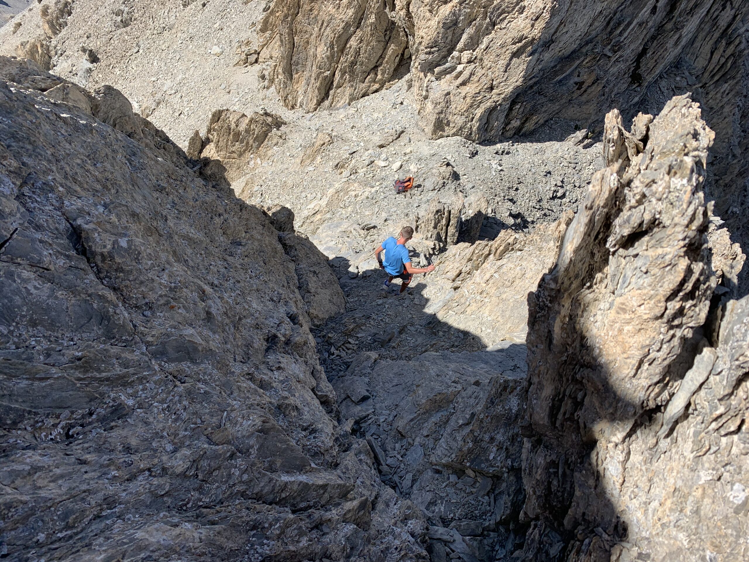
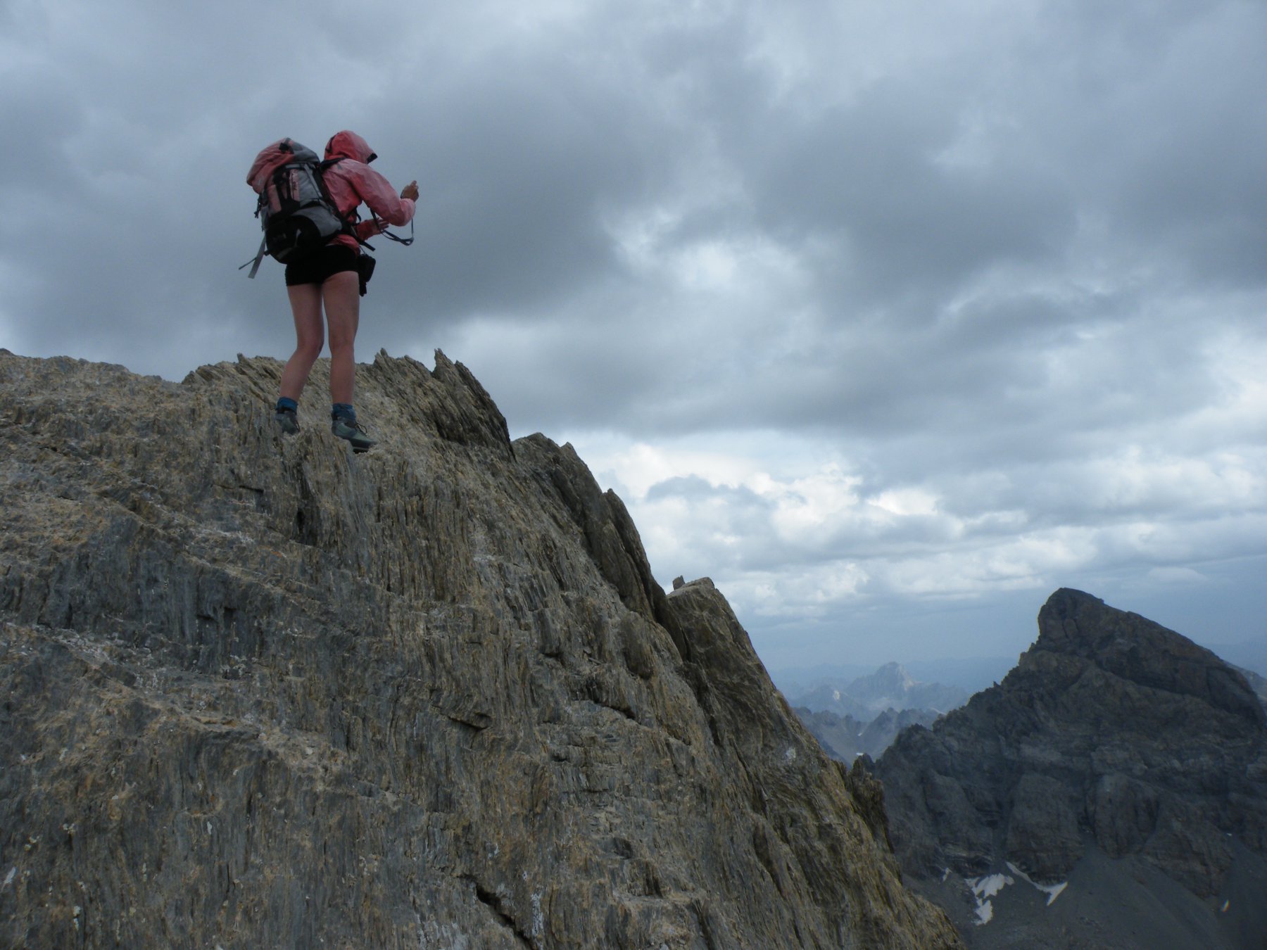
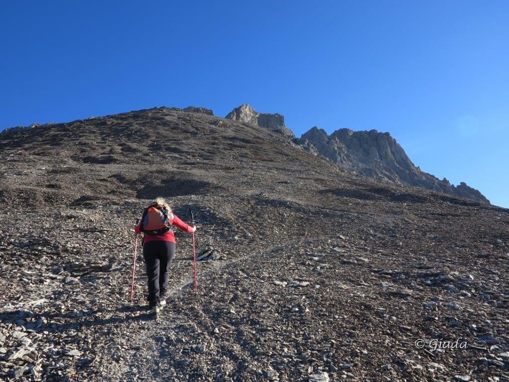
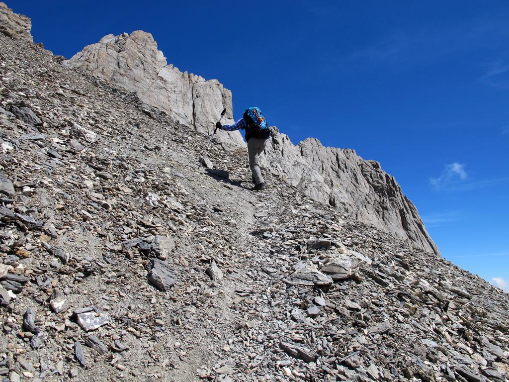
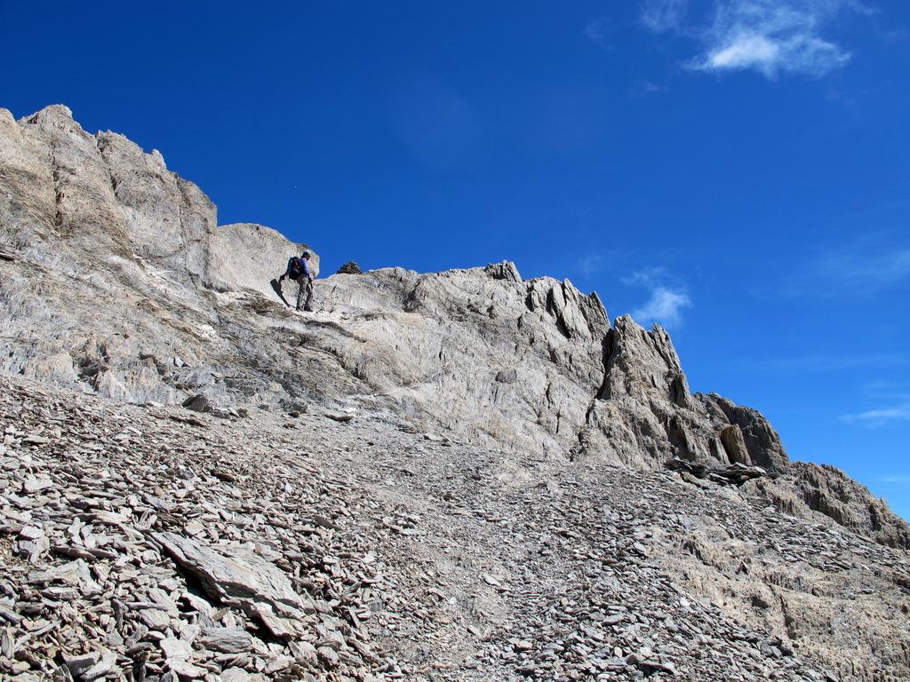
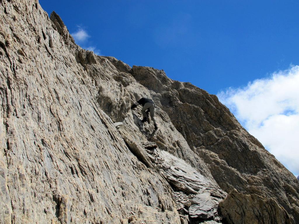
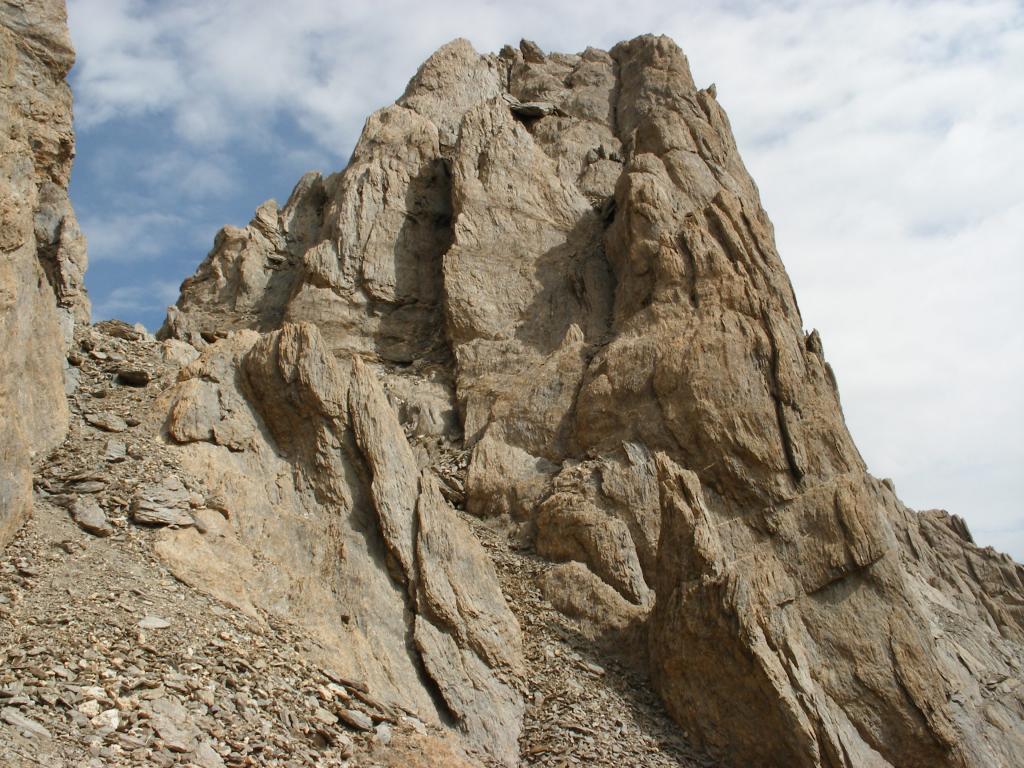
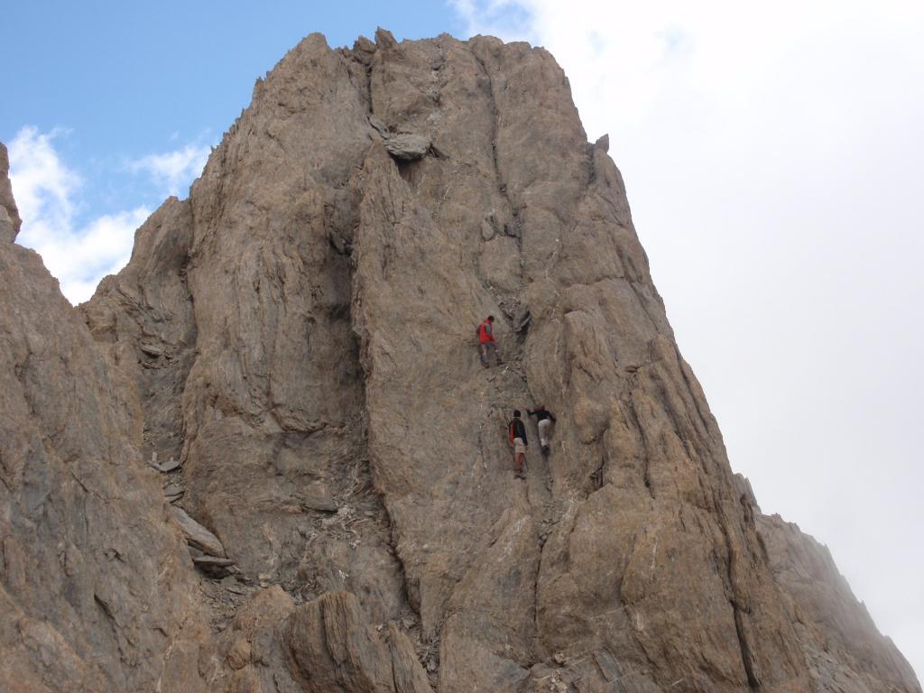
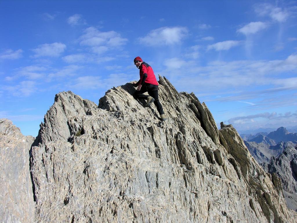
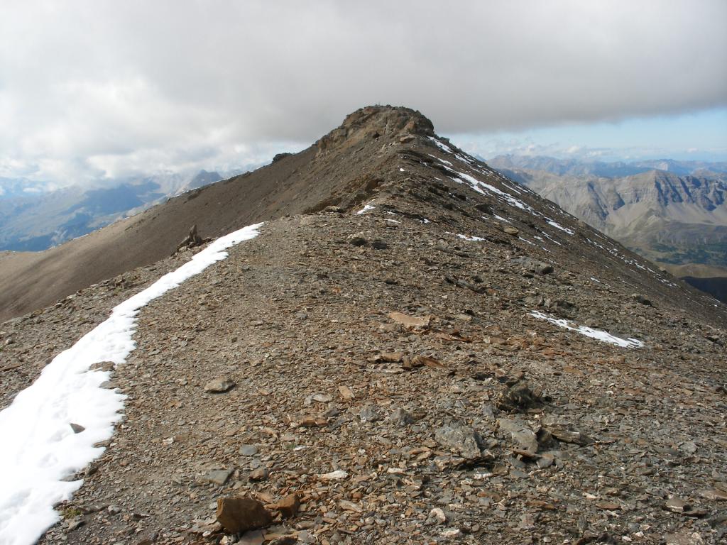
Si tratta di una bella escursione che non presenta particolari difficoltà, occorre fare attenzione solo nel breve tratto finale, che comporta alcuni facili passaggi di arrampicata, con qualche metro di di I e un passo di II per raggiungere lo spuntone più alto. Il tratto finale non va sottovalutato se c'è neve e/o in presenza di ghiaccio o neve.
Difficoltà: E fino all’anticima, F+ per la cima (30 m I,II).
Ad inizio stagione, se la parte alta è ancora innevata è consigliabile avere al seguito piccozza e ramponi.
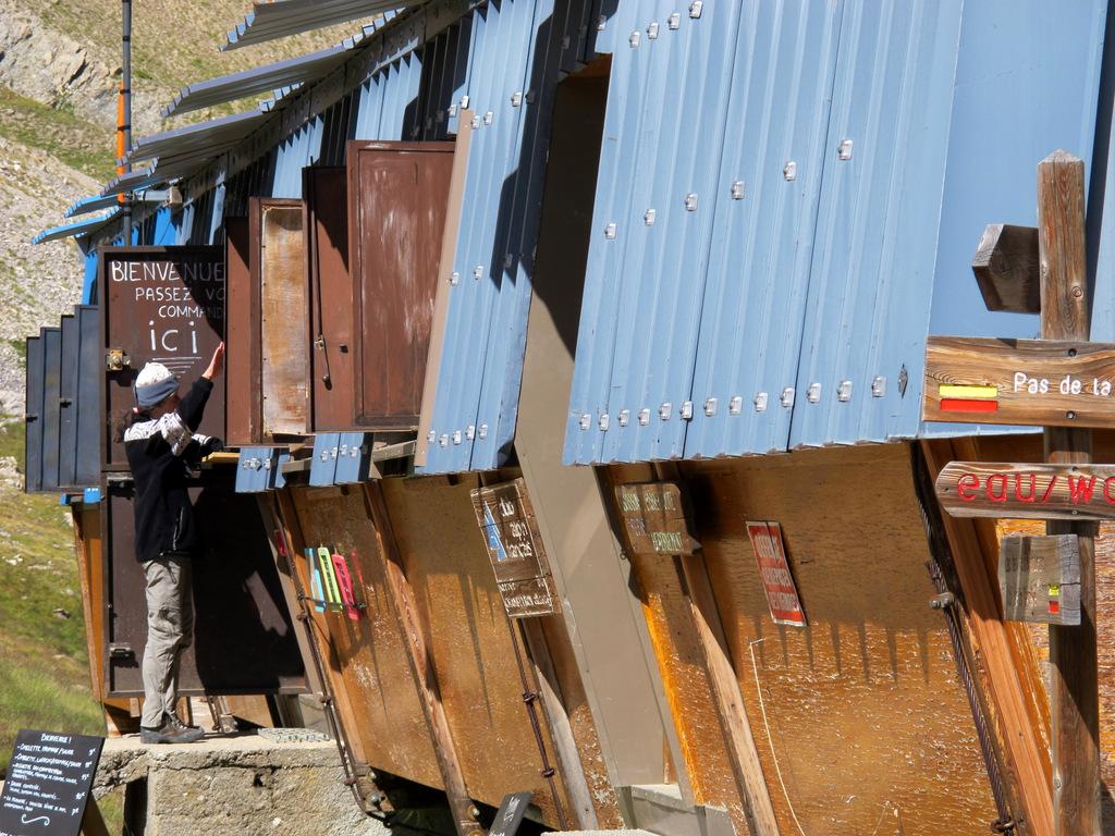
Avvicinamento
Difficoltà: E fino all’anticima, F+ per la cima (30 m I,II).
Ad inizio stagione, se la parte alta è ancora innevata è consigliabile avere al seguito piccozza e ramponi.
.
Descrizione
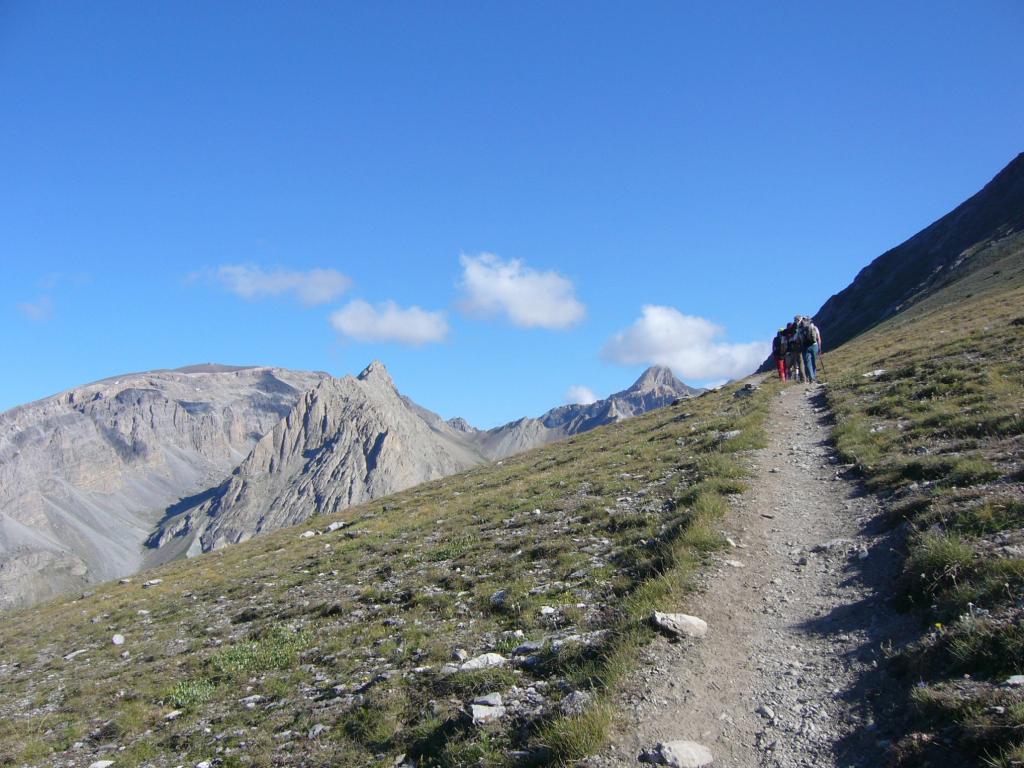
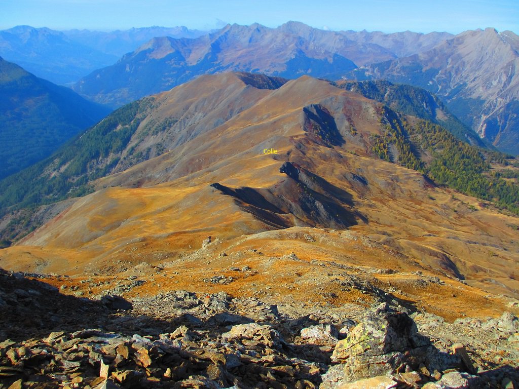
Lasciata l’auto nel parcheggio poco prima di Fouillouse, si segue inizialmente la stradina che attraversa il paese. Usciti dal centro abitato si segue ancora la stradina fino ad incrociare un sentiero che sale a sinistra (cartelli indicatori per il Refuge de Chambeyron).
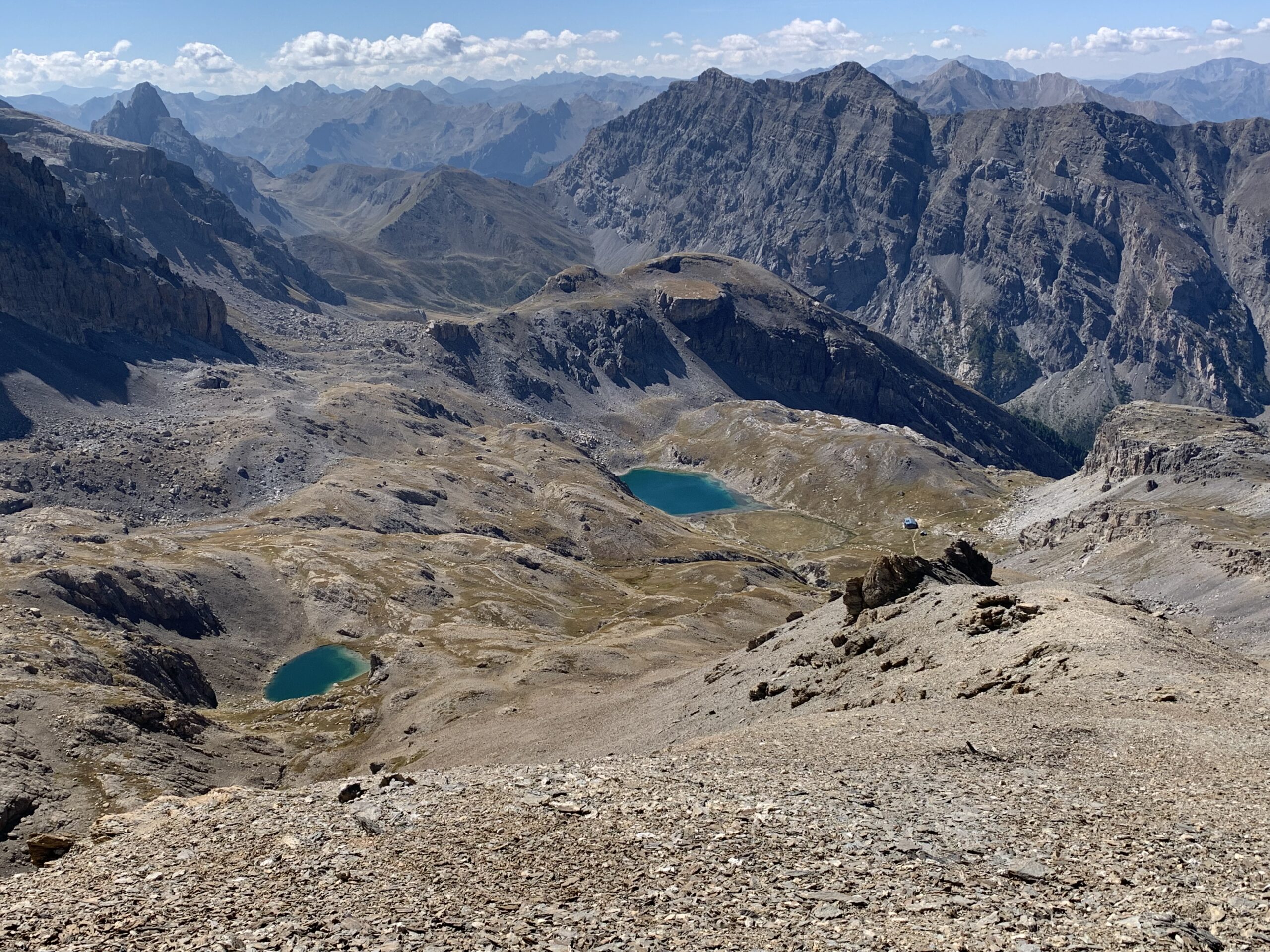
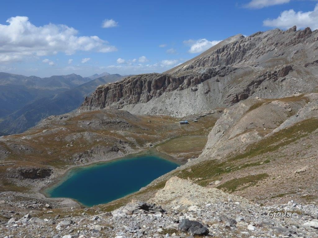
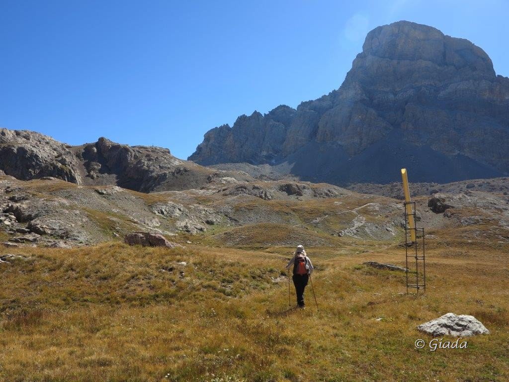
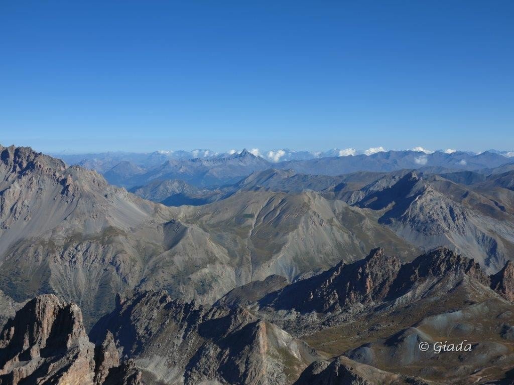
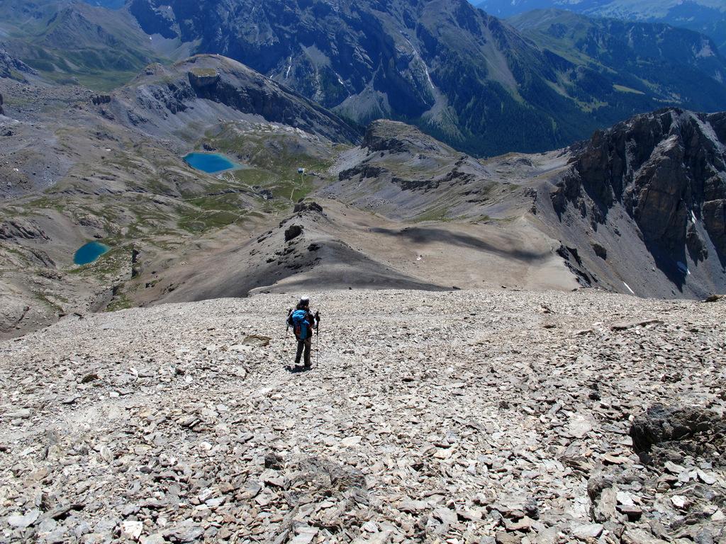
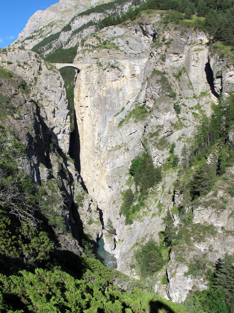
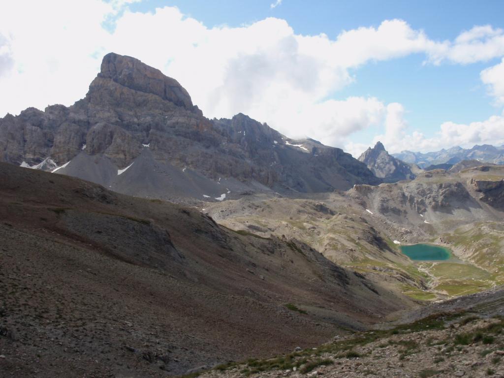
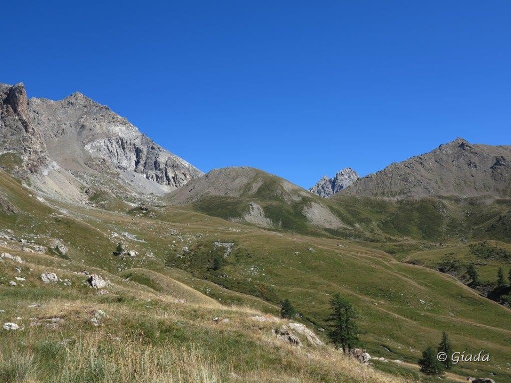
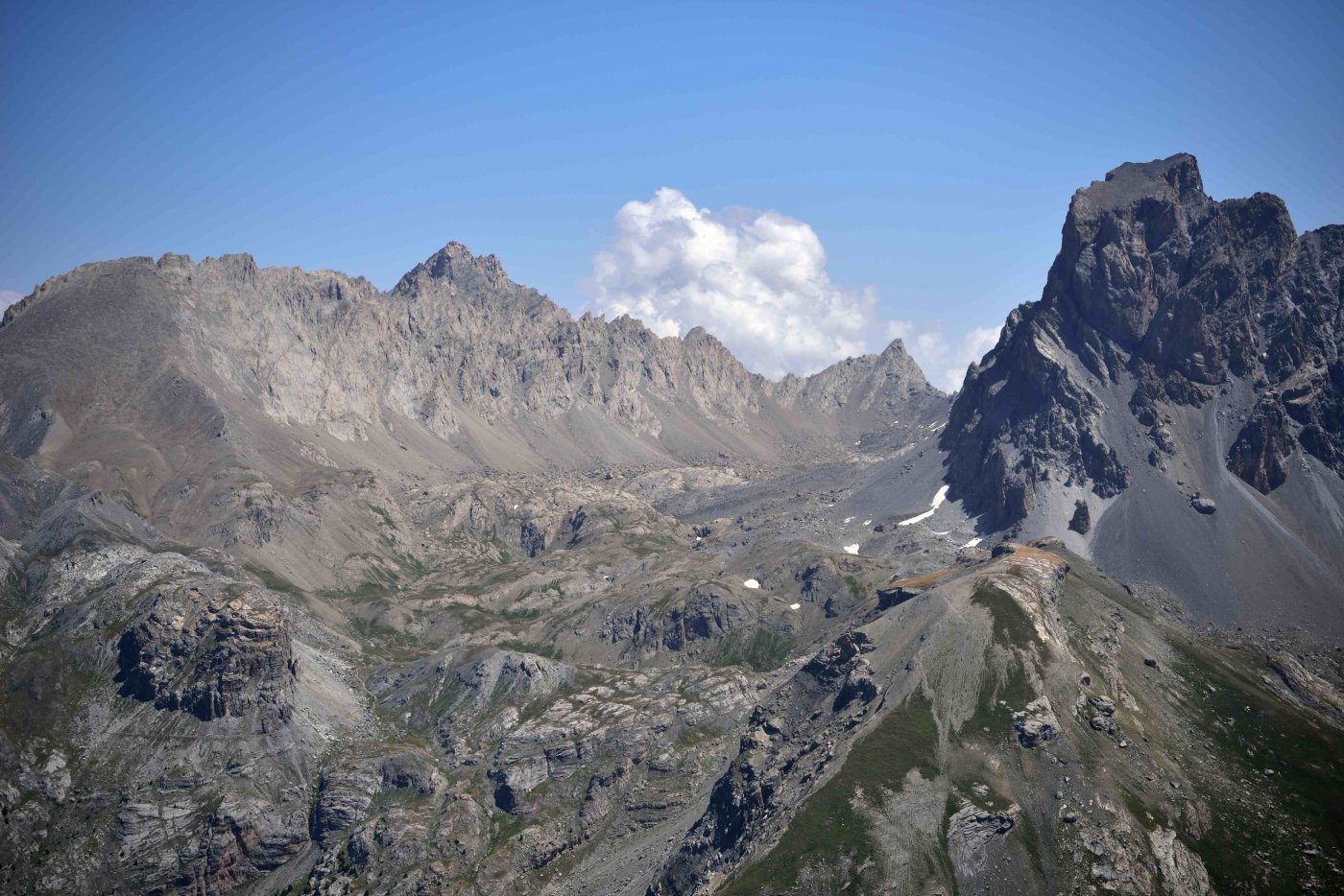
Il sentiero sale verso sinistra con numerosi tornanti fino a raggiungere un dosso erboso, dove prosegue poi a mezzacosta sulla destra per un lungo tratto su terreno detritico, passando alla base di un promontorio roccioso (Tete de Viturière) per entrare in un valloncello sulla sinistra che conduce al pianoro dove è ubicato il Refuge de Chambeyron 2626 m.
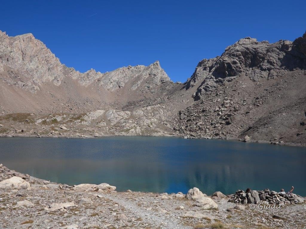
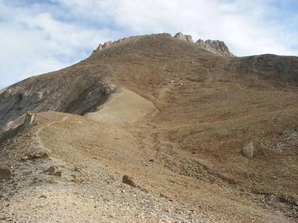
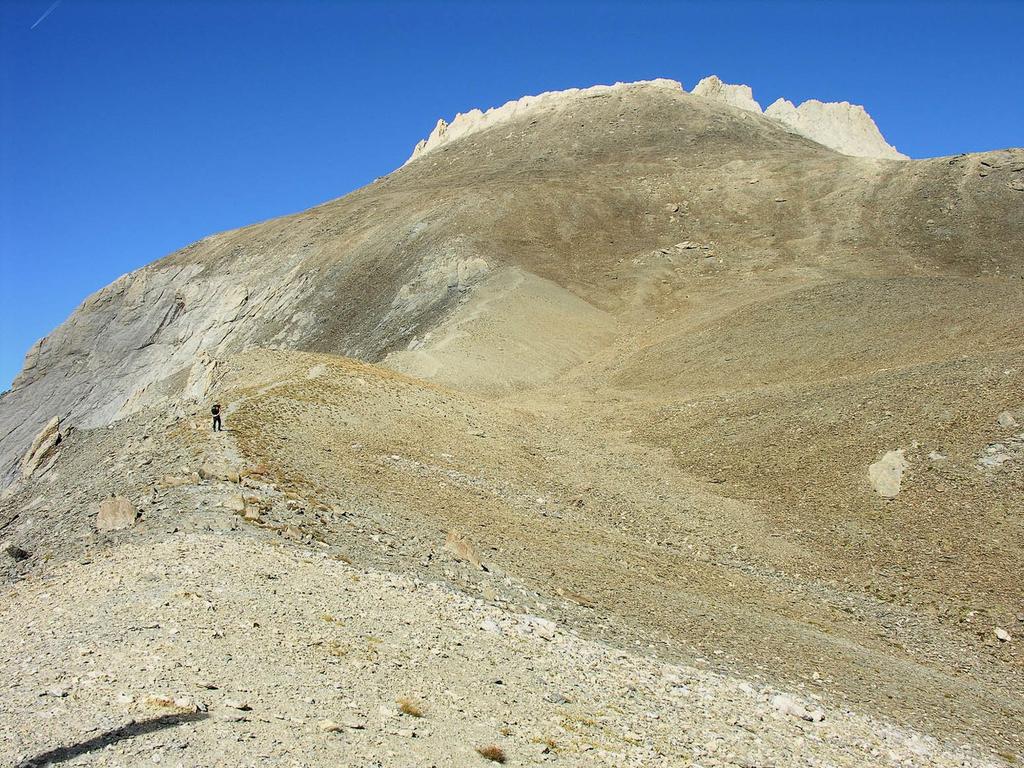
Dal Rifugio si sale inizialmente per il sentiero che porta al Lago dei 9 colori e al Col de Gippiera, per prendere dopo pochi minuti un sentiero che si stacca a sinistra (segnalazioni) e risale una china erbosa prima e detritica poi per raggiungere il Pas de la Souvagea 2889 m.
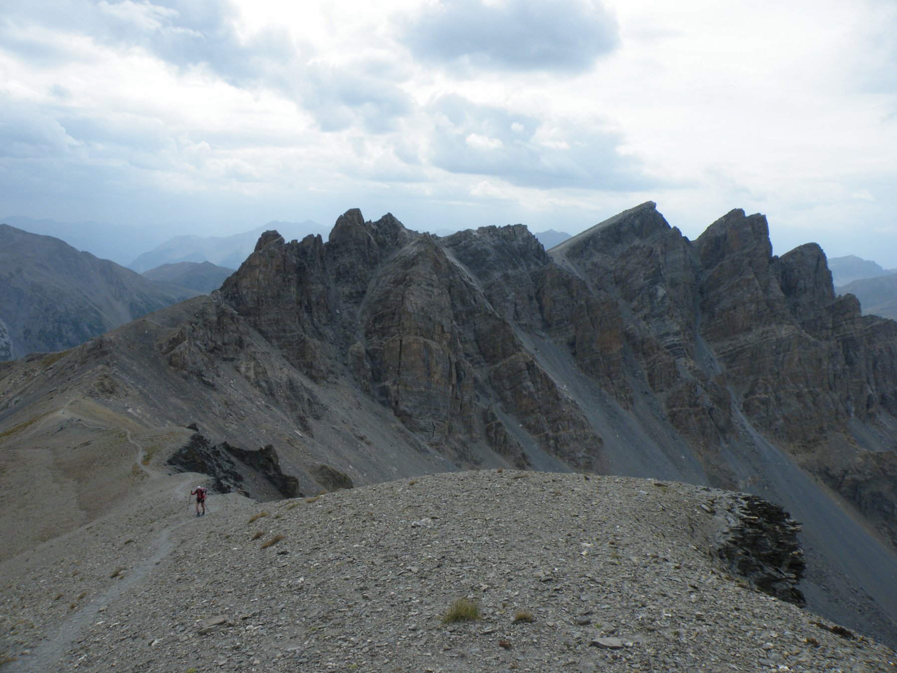
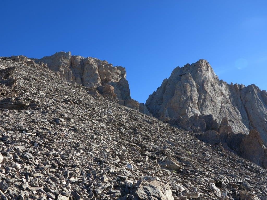
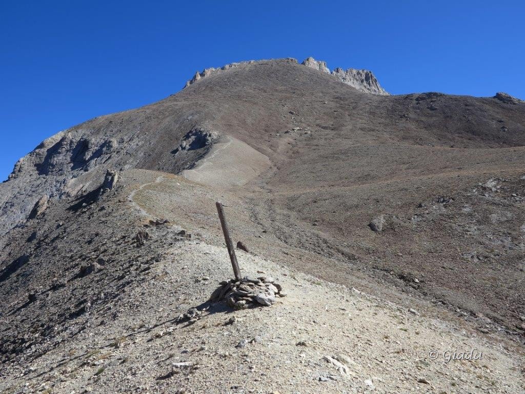
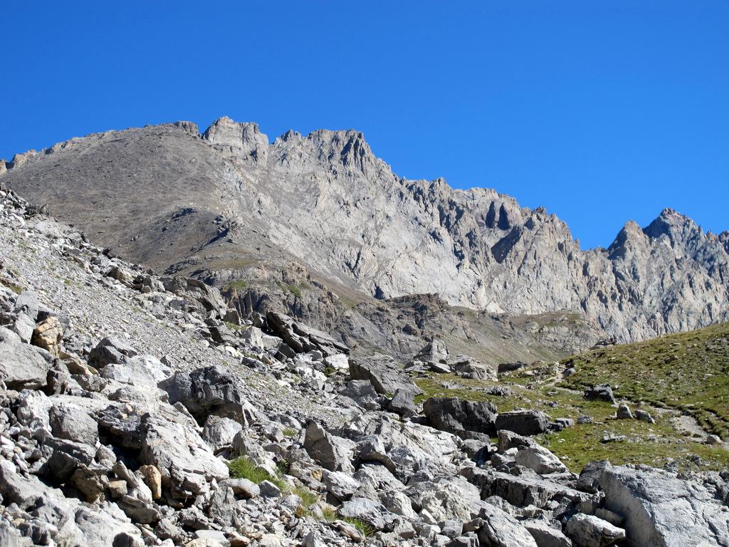
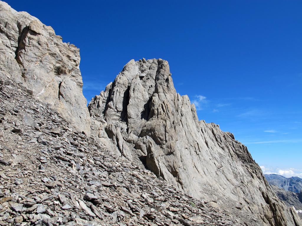
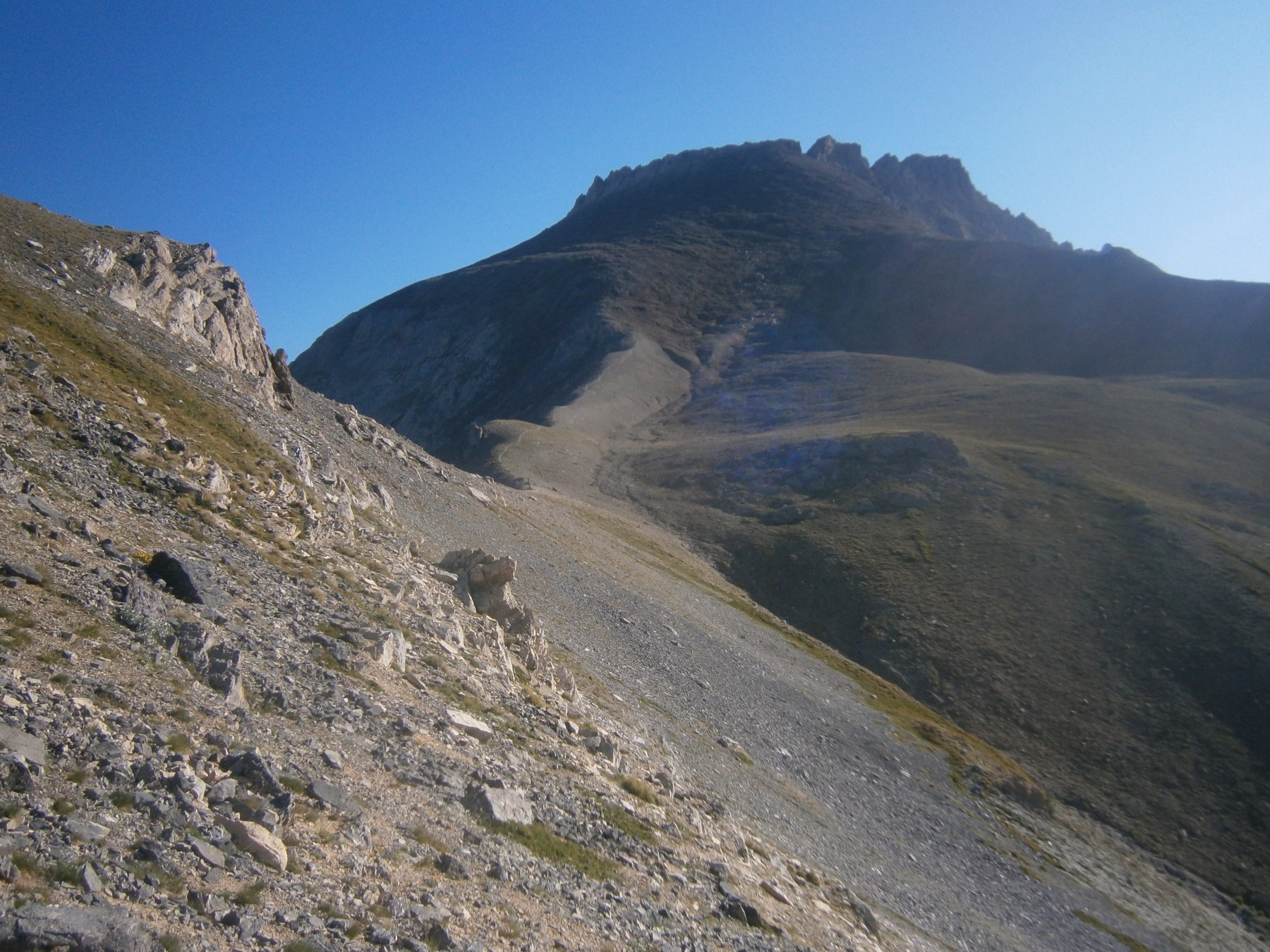
Dal Pas de la Souvagea si sale tutto il dossone detritico verso destra, seguendo le tracce nella pietraia che salgono su terreno abbastanza ripido (ometti) arrivando sotto la prima puntina rocciosa, che si aggira verso destra (lato Chambeyron) fino a raggiungere un piccolo colletto.
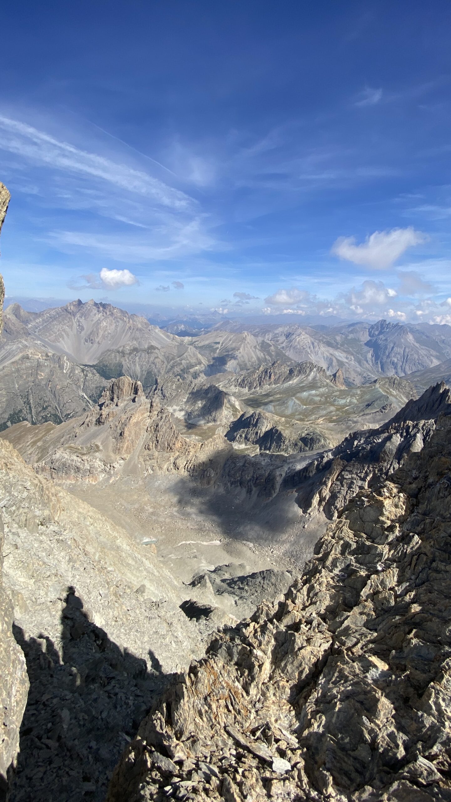
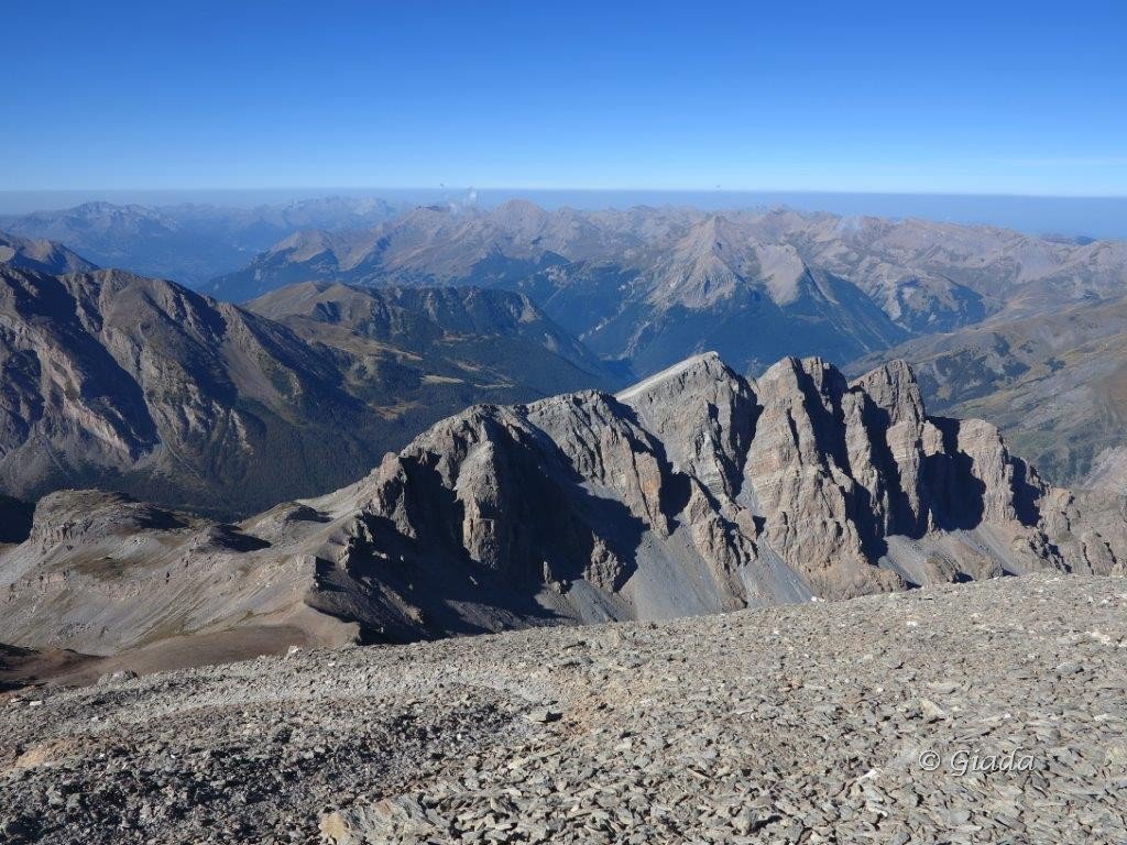
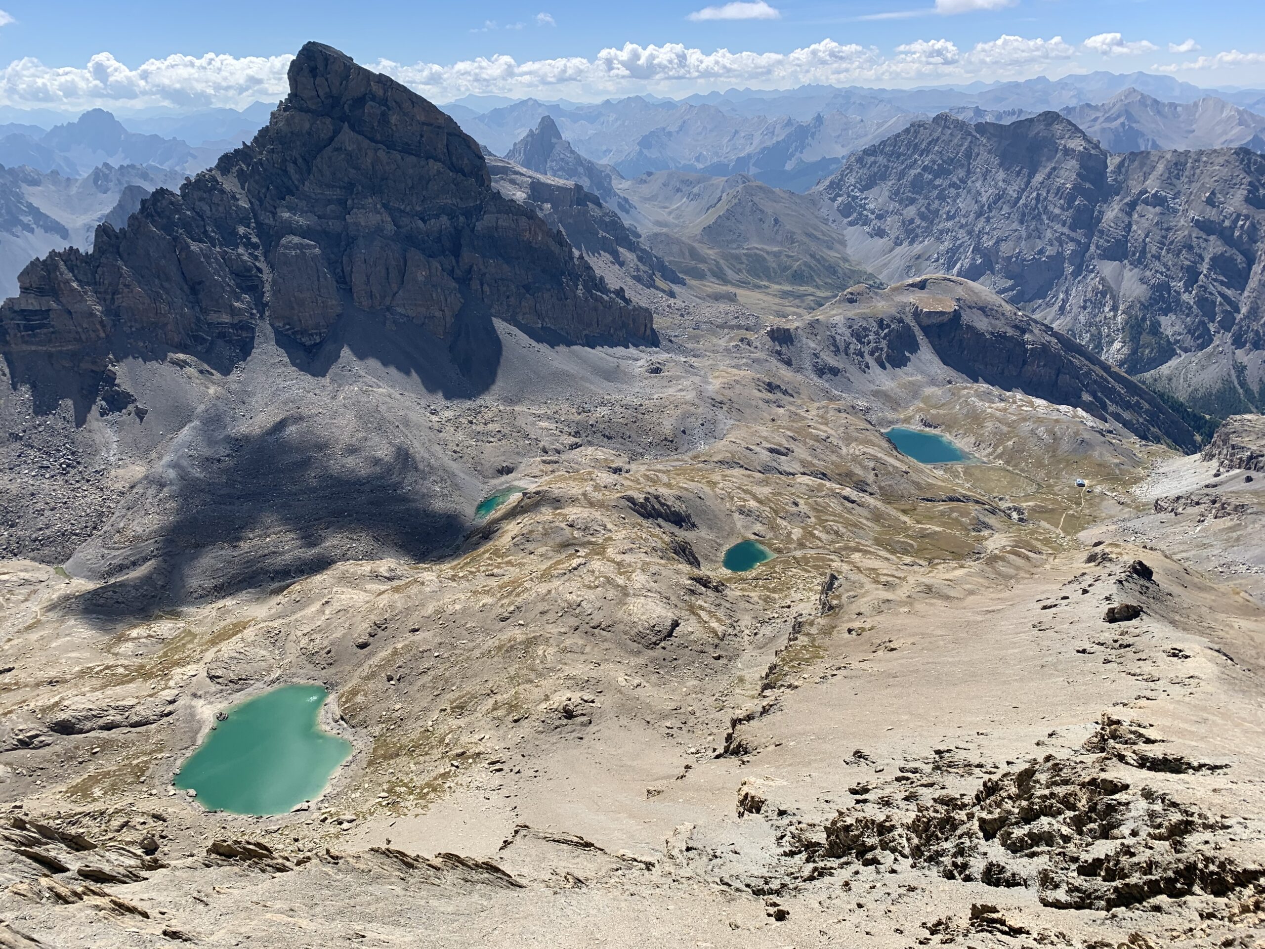
Da questo colletto si aggira un saltino e per un breve canalino roccioso si raggiunge la sommità dello spuntone che costituisce la vetta della Pointe d’Aval 3325 m.
La discesa si compie seguendo lo stesso itinerario di salita.
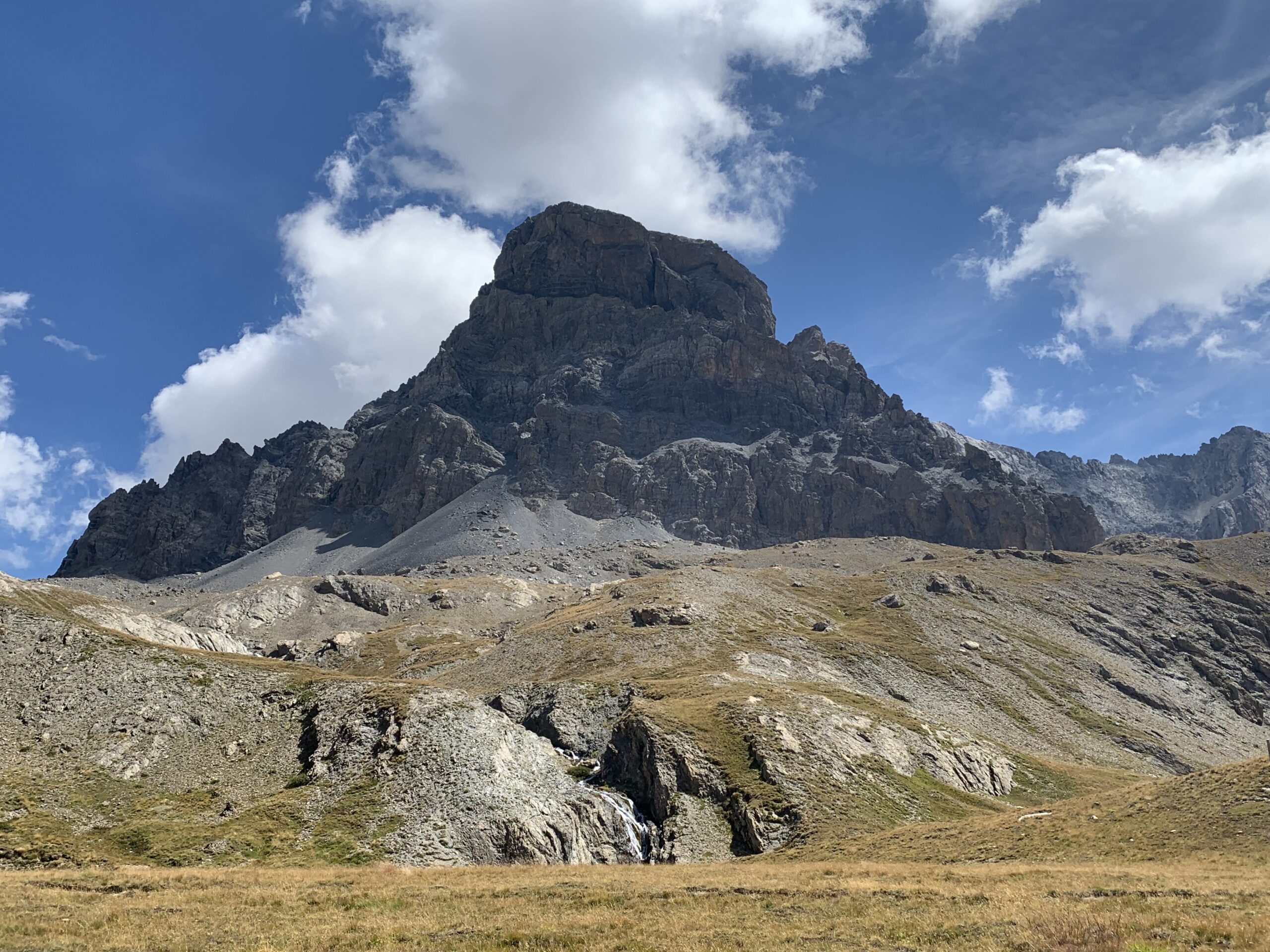
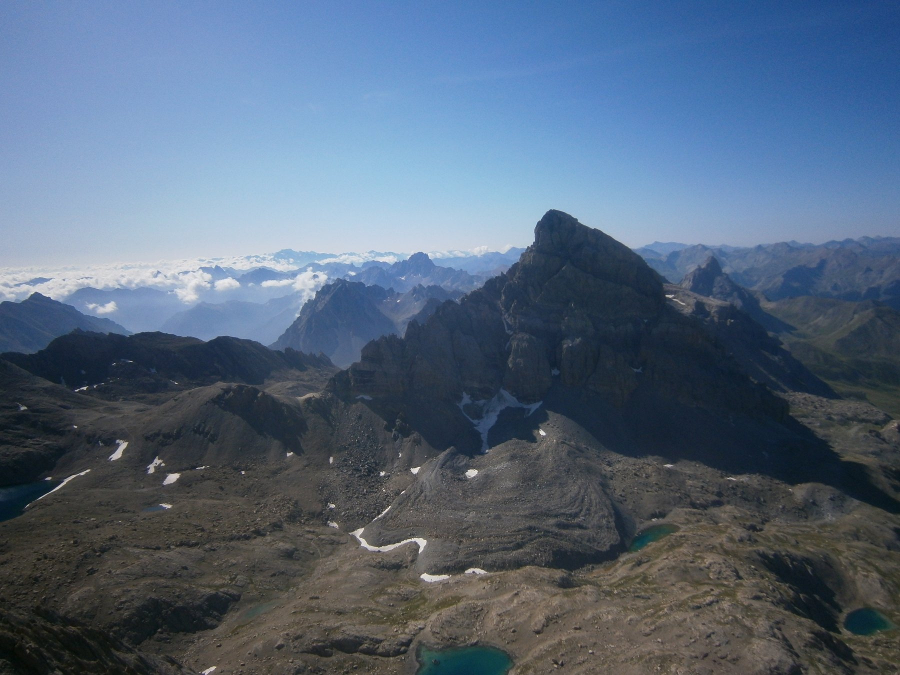
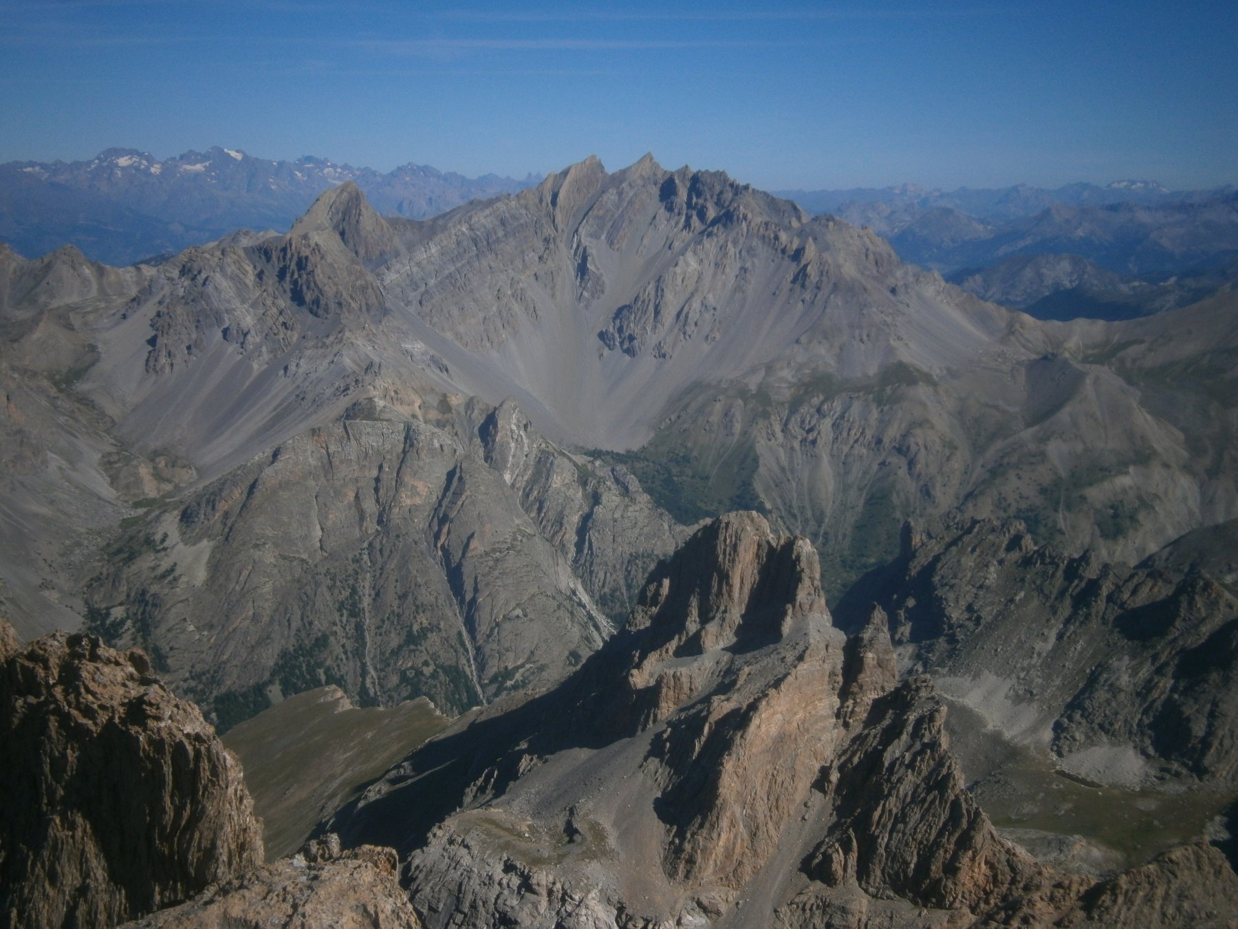
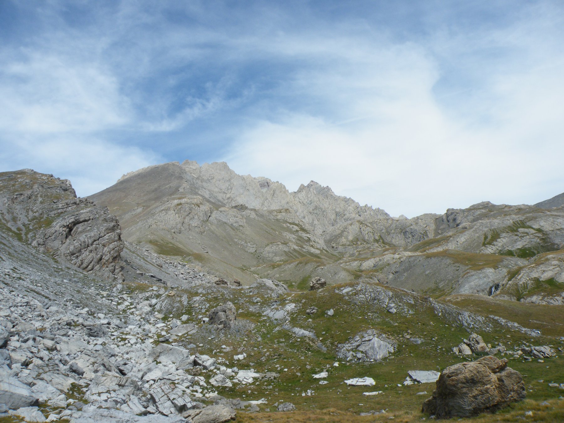
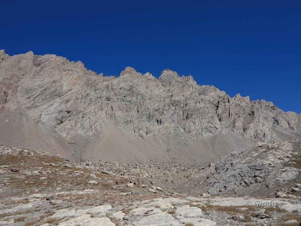
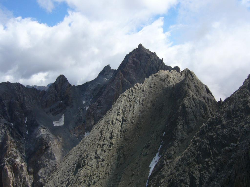
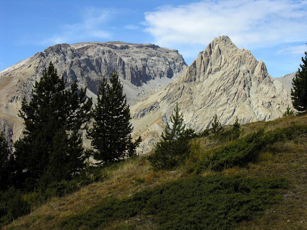
Montagna trapezoidale con una lunga cresta sommitale quasi pianeggiante costituita da una serie di dentini rocciosi di quasi pari altezza di poco superiore ai 3300 m. La GMI stabilisce che la vetta è la “Penultima piccola dentellatura verso il basso sulla cresta OSO dell’Aiguille de Chambeyron.”.
- Cartografia:
- IGN 1:25000 foglio 3538 ET
- Bibliografia:
- GMI it. 139a
Nelle vicinanze Mappa
Itinerari
22/10/2011 Alpes-de-Haute-Provence, Saint-Paul-sur-Ubaye D+ 800 m E Ovest
Chambeyron (Refuge de) da Fouillouse, anello per il Pas de la Couleta
 50m
50m
18/08/2023 Alpes-de-Haute-Provence, Saint-Paul-sur-Ubaye D+ 1339 m EE/F Ovest
Nubiera (Buc de) da Fouillouse
 50m
50m
29/08/2022 Alpes-de-Haute-Provence, Saint-Paul-sur-Ubaye D+ 1127 m EE Sud-Ovest
Bec Roux (le) da Fouillouse
 50m
50m
28/07/2015 Alpes-de-Haute-Provence, Saint-Paul-sur-Ubaye D+ 650 m E Est
Vallonet (Col du) da Fouillouse
 50m
50m
18/08/2024 Alpes-de-Haute-Provence, Saint-Paul-sur-Ubaye D+ 1256 m EE Sud-Ovest
Frema (Tete de la) da Fouillouse
 50m
50m
19/07/2015 Alpes-de-Haute-Provence, Saint-Paul-sur-Ubaye D+ 1010 m EE Varie
Eyssilloun (Tète de l’) da Fouillouse
 50m
50m
14/07/2024 Alpes-de-Haute-Provence, Saint-Paul-sur-Ubaye D+ 1304 m EE Varie
Grand Caire (le) da la Grande Serenne
 2.1Km
2.1Km
11/09/2013 Alpes-de-Haute-Provence, Saint-Paul-sur-Ubaye D+ 1584 m EE Sud
Mortice (la) da Grande Serenne per il Col de Serenne
 2.1Km
2.1Km
29/08/2007 Alpes-de-Haute-Provence, Saint-Paul-sur-Ubaye D+ 1668 m EE/F Varie
Aval (Pointe d’) o Pointe de Chauvet da le Pont Vouté
 3.4Km
3.4Km
14/08/2023 Alpes-de-Haute-Provence, Val-d'Oronaye D+ 1313 m EE/F Sud-Ovest
Courbe (Tète de la) da Saint Ours per il Col de Mirandol
 5.2Km
5.2Km