2.2Km
2.2Km
Note
 1Km
1.1Km
1.5Km
1.5Km
1.5Km
1.5Km
1.9Km
2.2Km
2.7Km
1Km
1.1Km
1.5Km
1.5Km
1.5Km
1.5Km
1.9Km
2.2Km
2.7Km
2.2Km
3Km
3.6Km
3.6Km
3.6Km
3.8Km
5.2Km
7.7Km
7.7Km
7.9Km
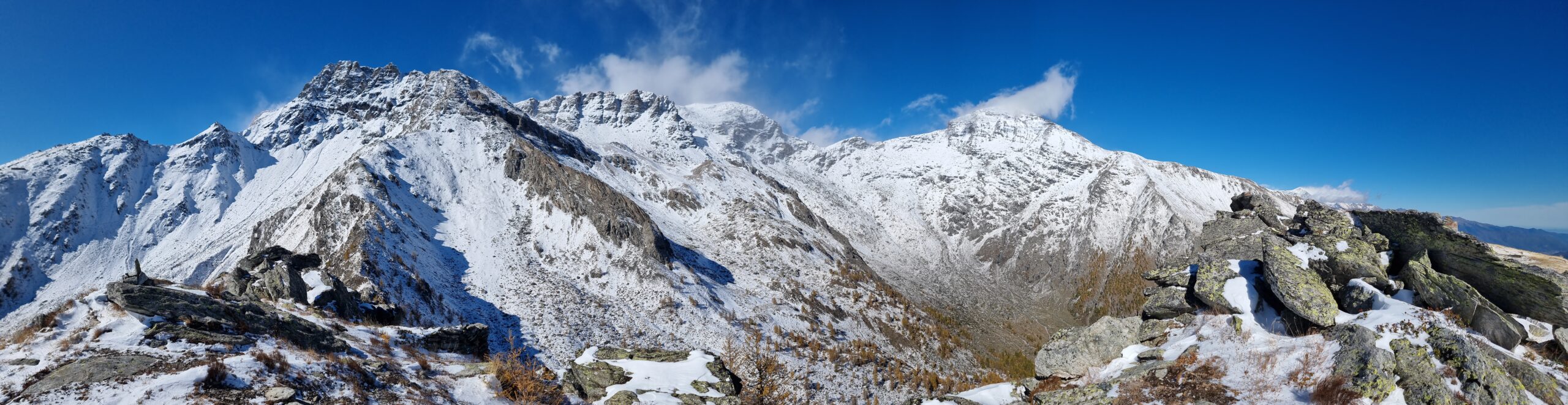
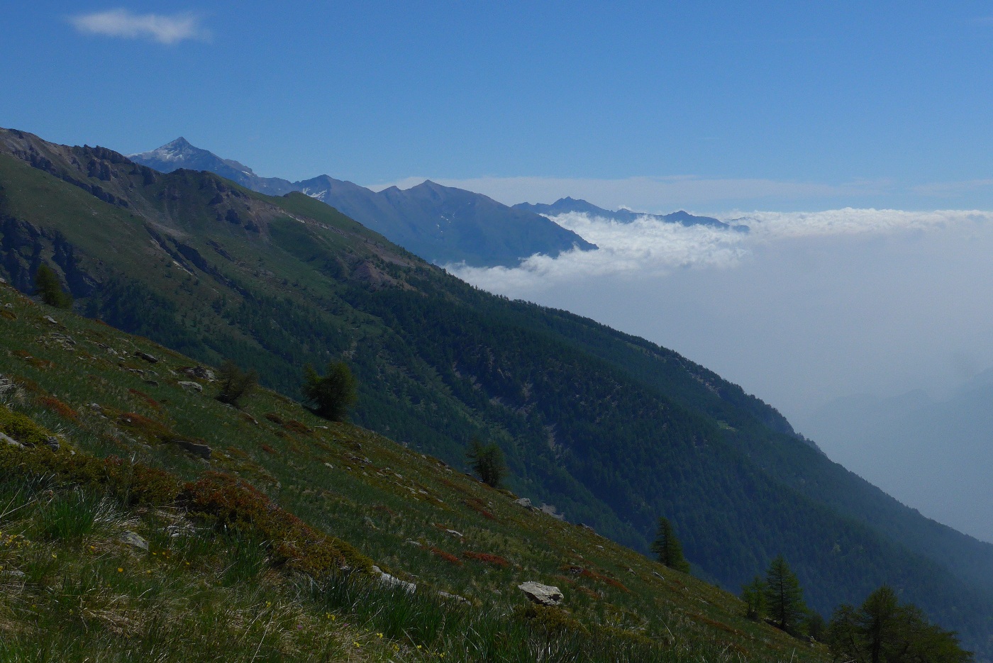
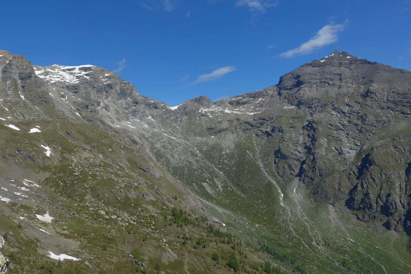
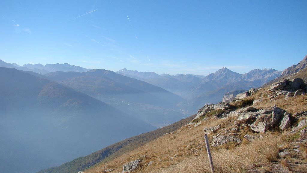
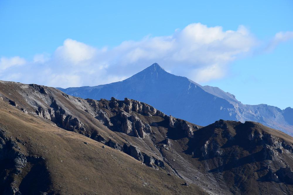
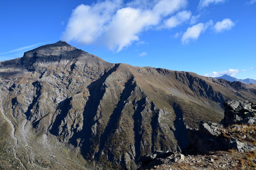
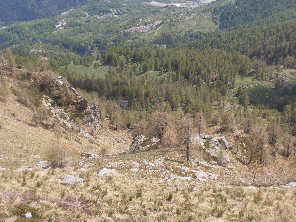
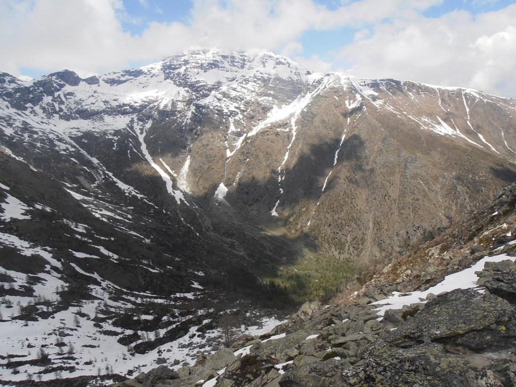
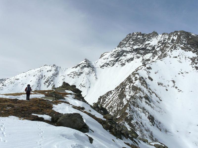
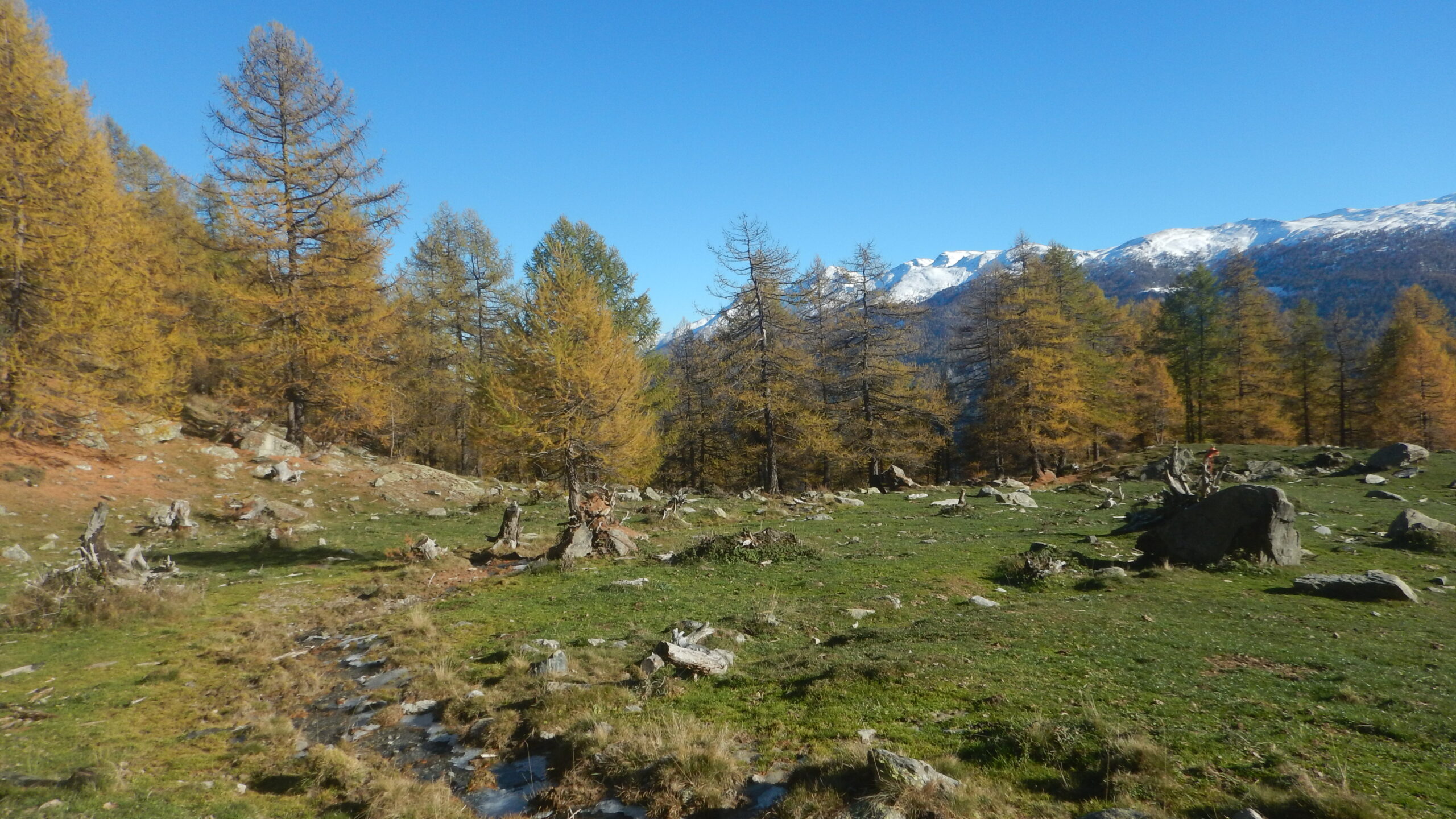
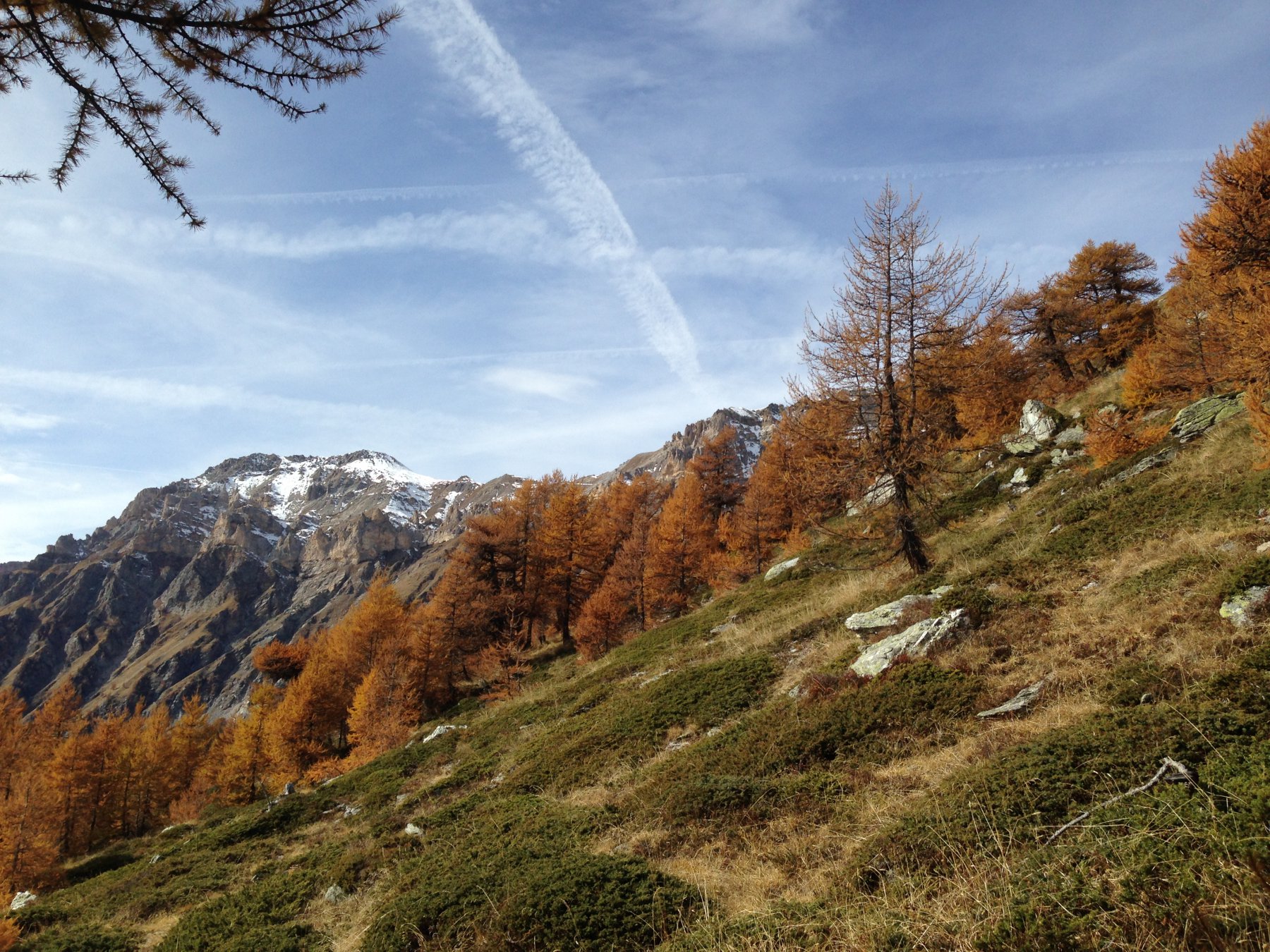
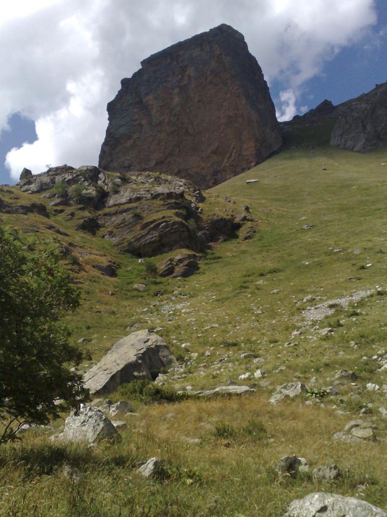
Facile gita ad un ottimo belvedere sulla val Susa. In primo piano domina il Niblè. Il ritorno si può effettuare scendendo sul vallone del Galambra, incontrando così ambienti diversi , specie nella parte alta, prativo in salita e più roccioso in discesa.
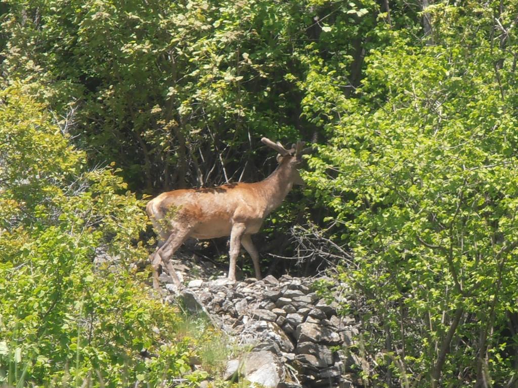
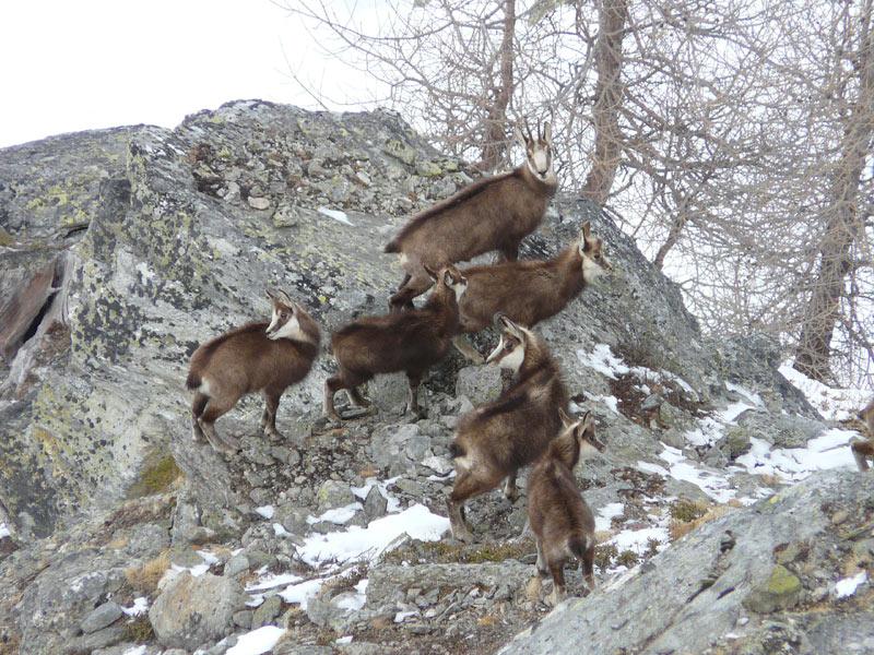
Buone possibilità di osservare camosci e cervi al pascolo.
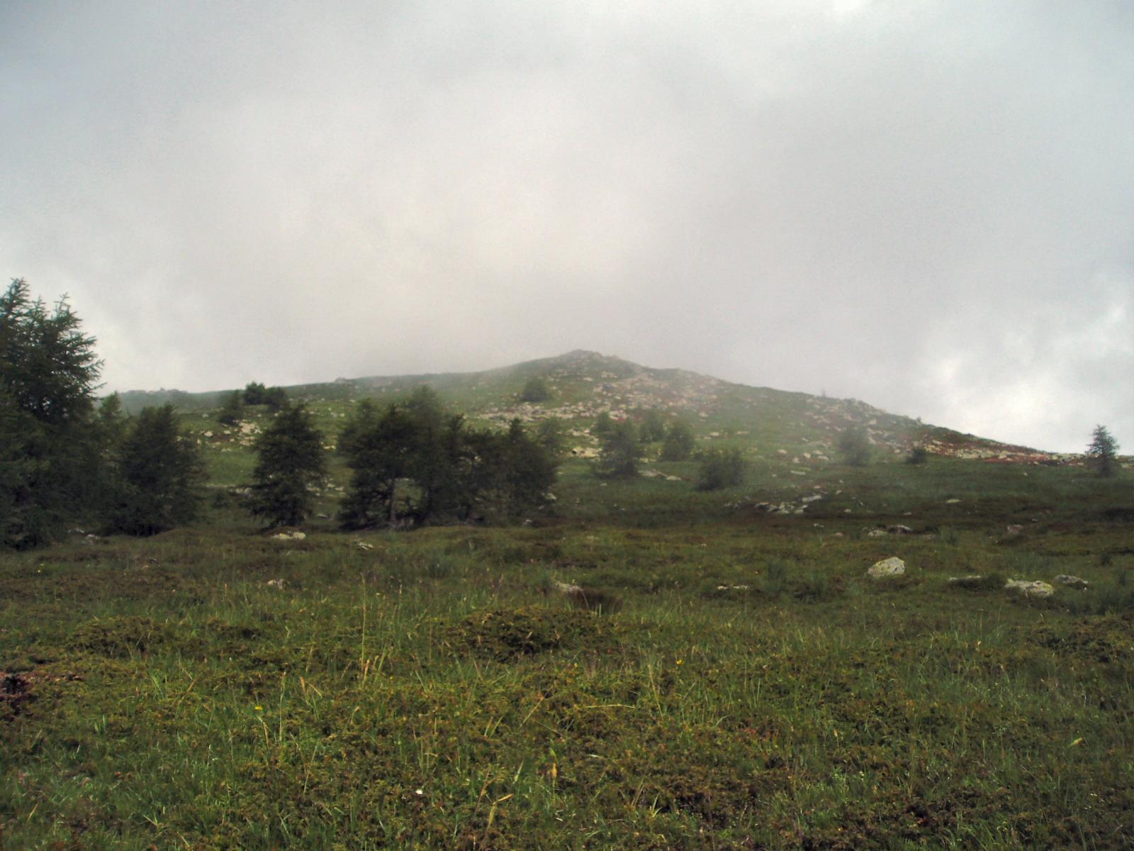
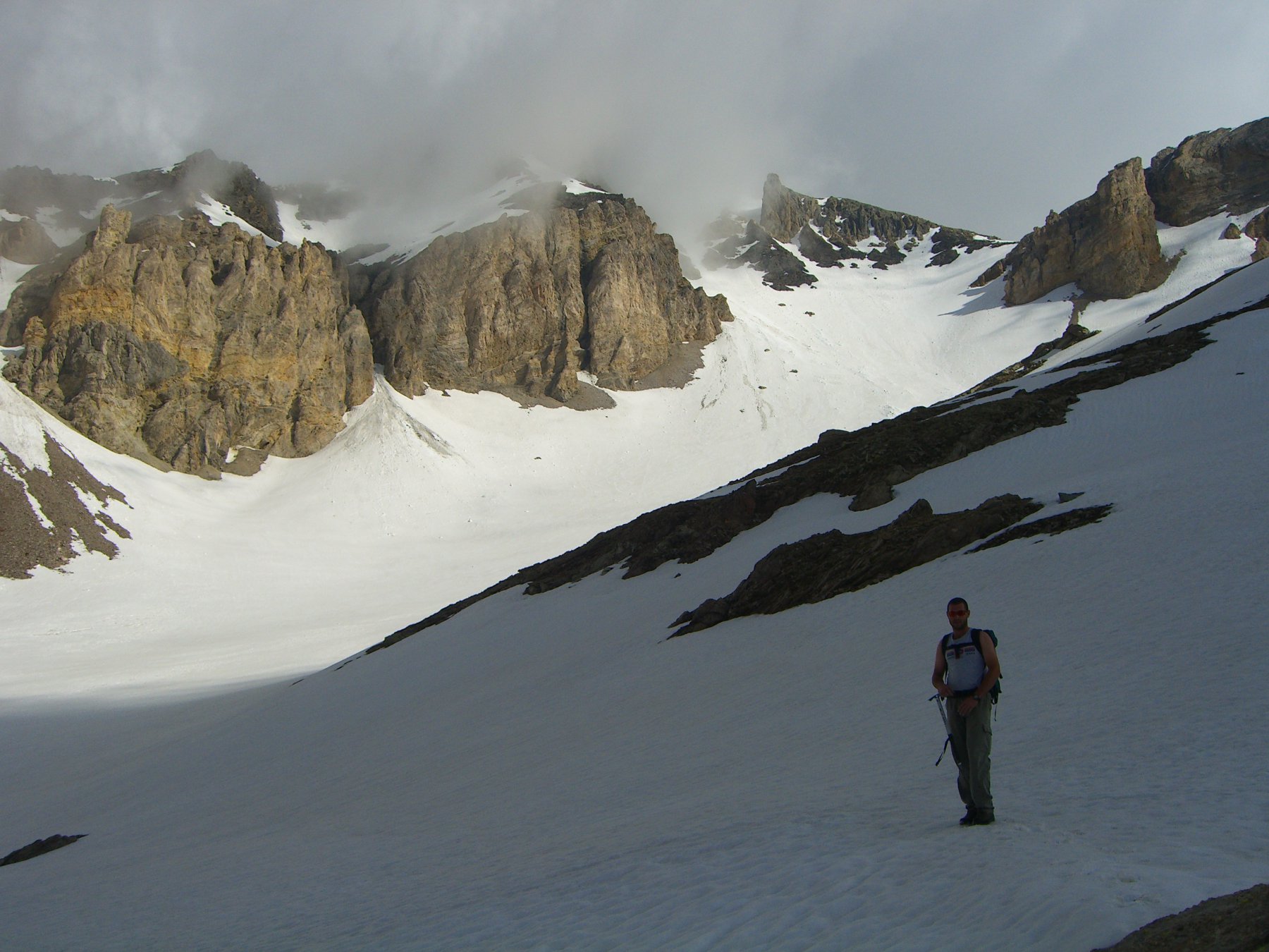
Verificare sempre l'innevamento nella zona della cima: sono ripidi pendii erbosi, che se sovraccarichi scaricano valanghe (Nell'inverno 2008-09 le valanghe hanno "tagliato" in diversi punti questo bosco sul versante a sud).
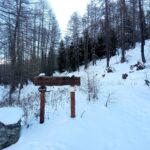
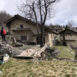
L’itinerario descritto parte dalle case di Selle Marre. Volendo si può aumentare il dislivello partendo direttamente da Eclause, sfruttando alcuni tagli della strada e raggiungendo le Grange Soutoul con un buon sentiero.
Avvicinamento
Buone possibilità di osservare camosci e cervi al pascolo.
Verificare sempre l'innevamento nella zona della cima: sono ripidi pendii erbosi, che se sovraccarichi scaricano valanghe (Nell'inverno 2008-09 le valanghe hanno "tagliato" in diversi punti questo bosco sul versante a sud).
L’itinerario descritto parte dalle case di Selle Marre. Volendo si può aumentare il dislivello partendo direttamente da Eclause, sfruttando alcuni tagli della strada e raggiungendo le Grange Soutoul con un buon sentiero.
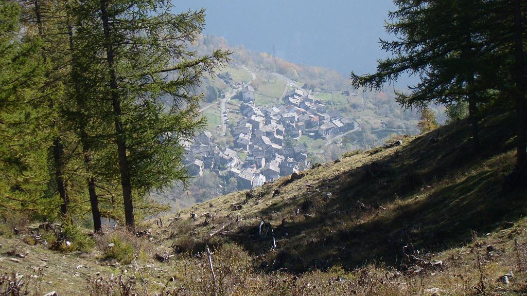
Da Torino si percorre la Valle di Susa fino a Susa, quindi proseguendo per la S.S. 24 del Monginevro, dopo Exilles si devia a destra (curva a gomito) lungo la strada asfaltata per Grange della Valle, Eclause, Rifugio Levi Molinari.
Si prosegue superando le case Peyron e si arriva in breve alle due case di Clot Sesian Selle Marre (indicazione in vernice su pietra a sinistra). Pochi spazi per il veicolo.
Volendo si può proseguire fino alle Grange Soullier, circa 300 metri oltre, da cui parte un sentiero che confluisce dopo poco su quello di Selle Marre.
Descrizione
Si prosegue superando le case Peyron e si arriva in breve alle due case di Clot Sesian Selle Marre (indicazione in vernice su pietra a sinistra). Pochi spazi per il veicolo.
Volendo si può proseguire fino alle Grange Soullier, circa 300 metri oltre, da cui parte un sentiero che confluisce dopo poco su quello di Selle Marre.
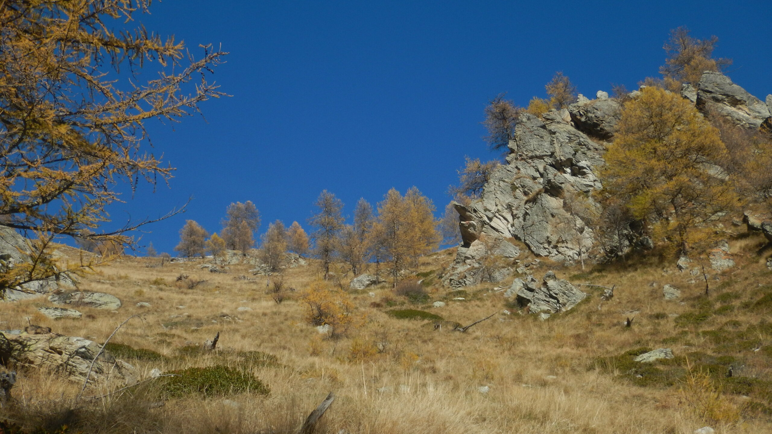
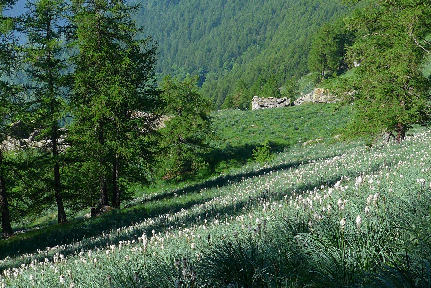
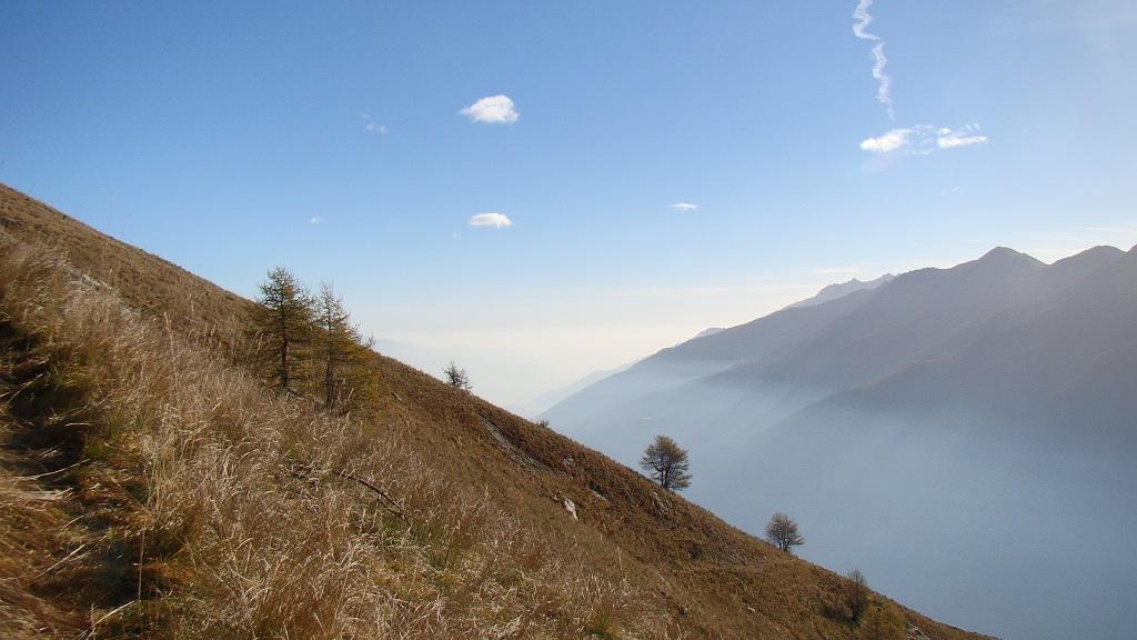
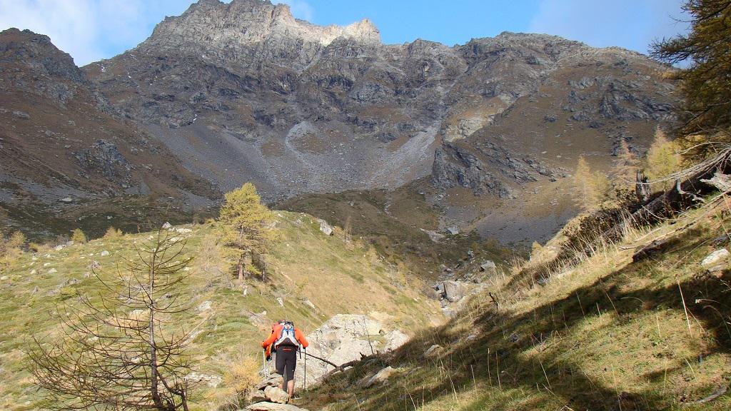
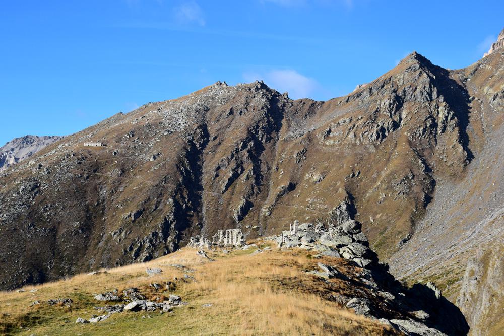
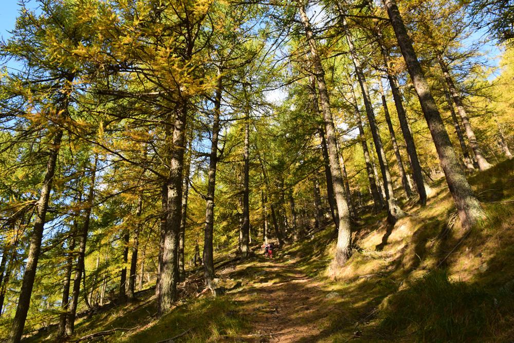
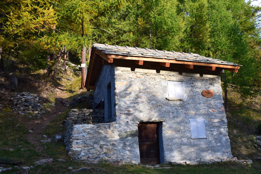
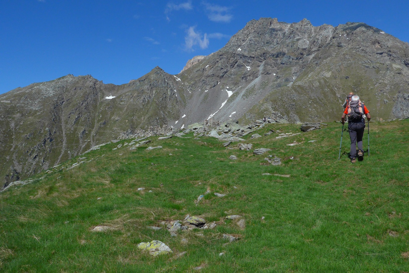
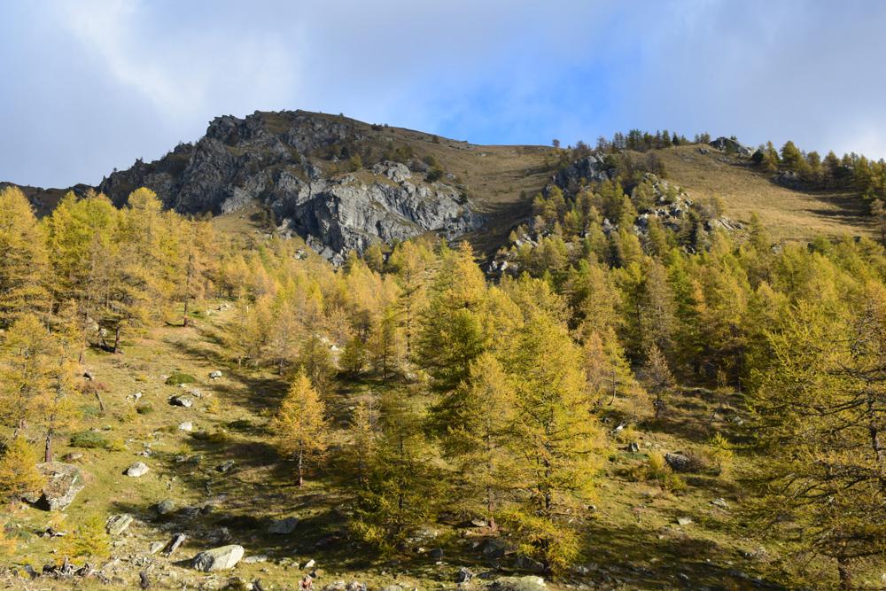
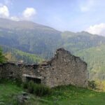
Fra le due case di Selle Marre parte un sentiero in ripidissima salita. Però dopo poco la pendenza si abbatte. Si prosegue nel lariceto, incontrando dopo poco il sentiero proveniente da Grange Soullier. Si prosegue verso ovest nel bosco fino a raggiungere le diroccate Grange Soutoul poste in posizione molto soleggiata.
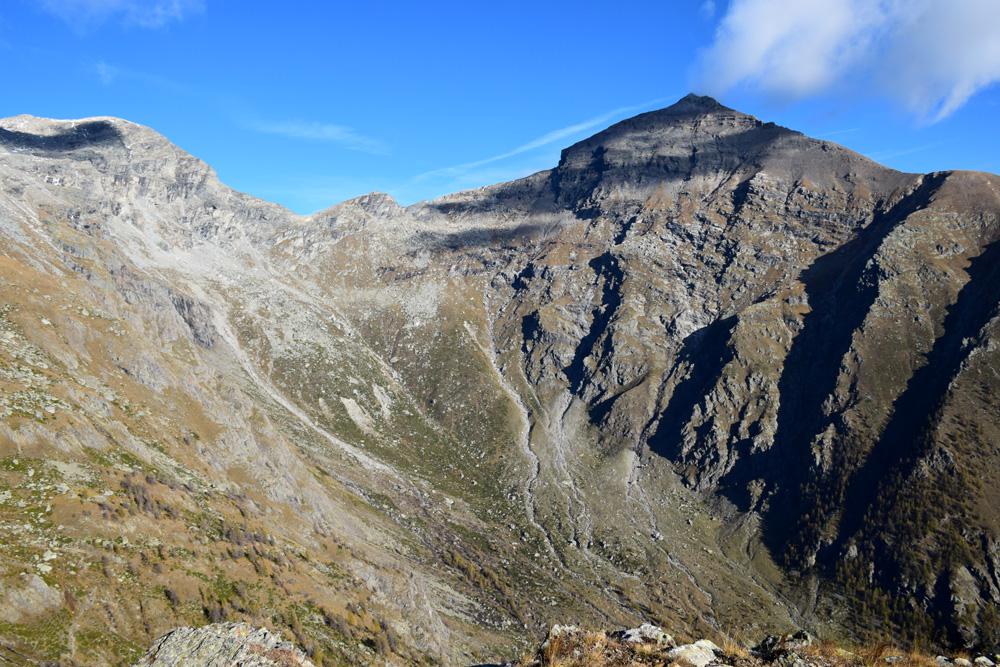
Si continua a monte delle case, per poi piegare progressivamente a sinistra, entrando in una fascia boscosa. A circa 1900 m si raggiunge una prima radura e poi poco oltre una seconda, poste nel vallone tra la cima Casses Blanches e il monte Chabriere.
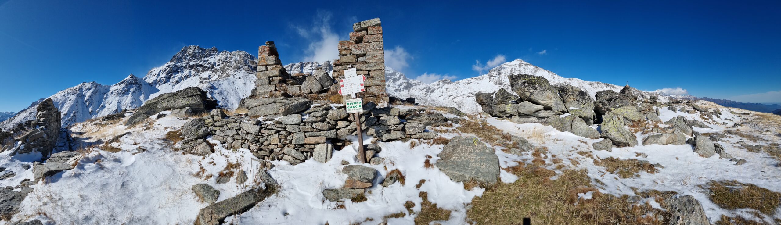
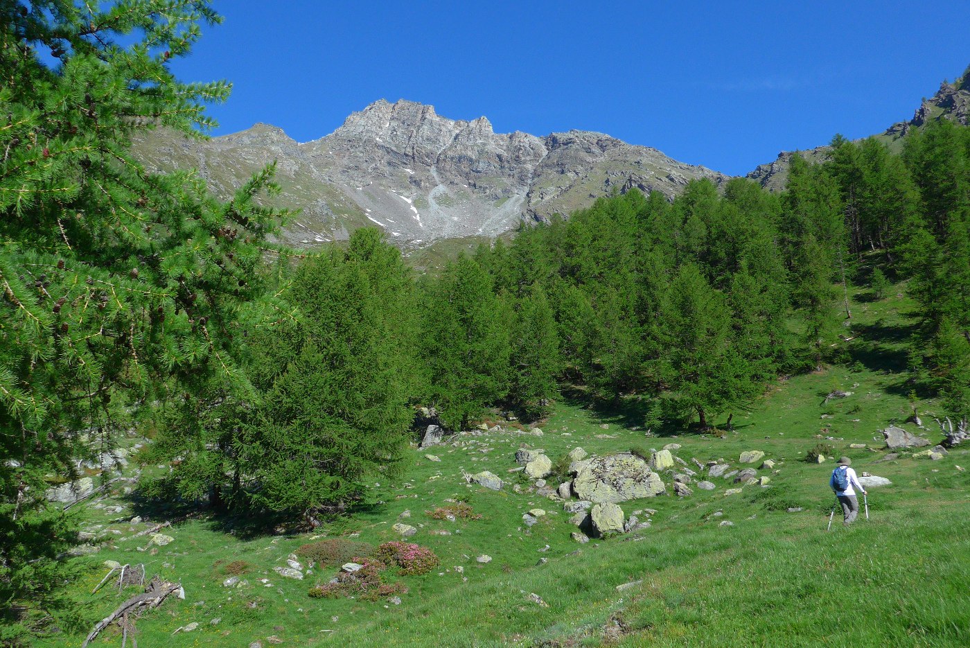
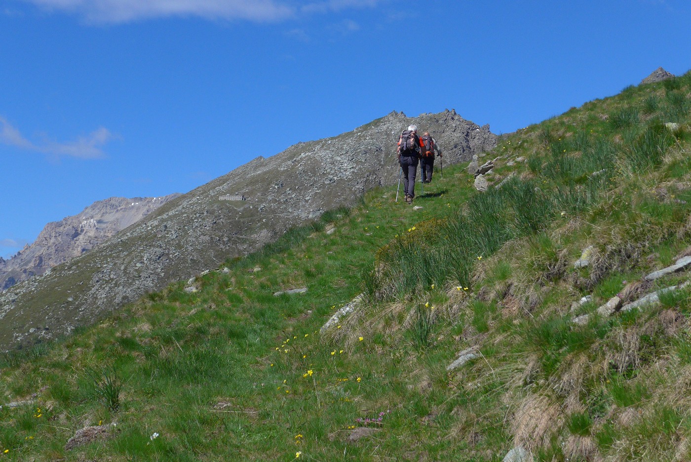
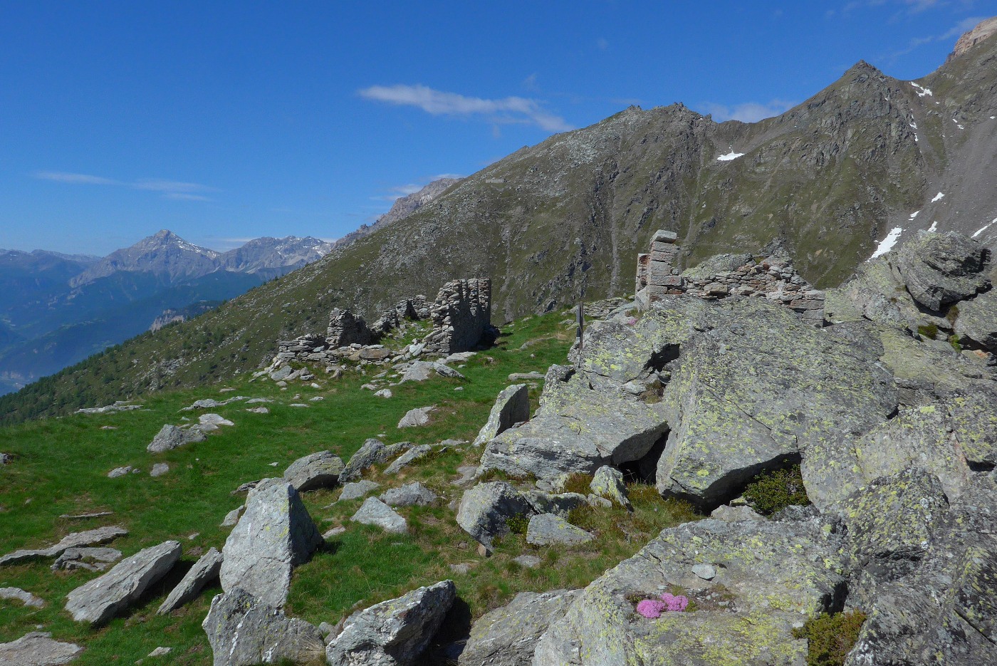
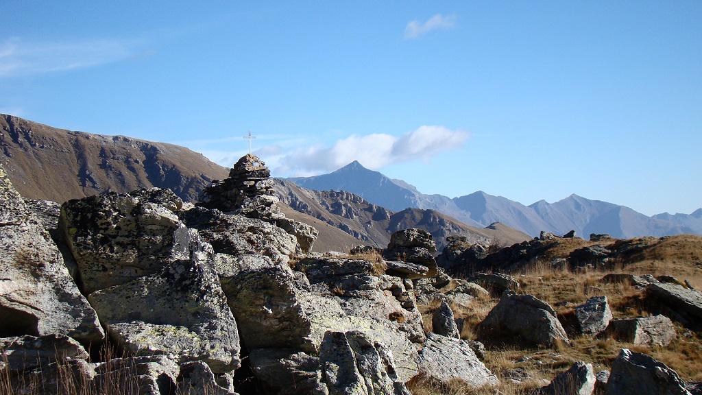
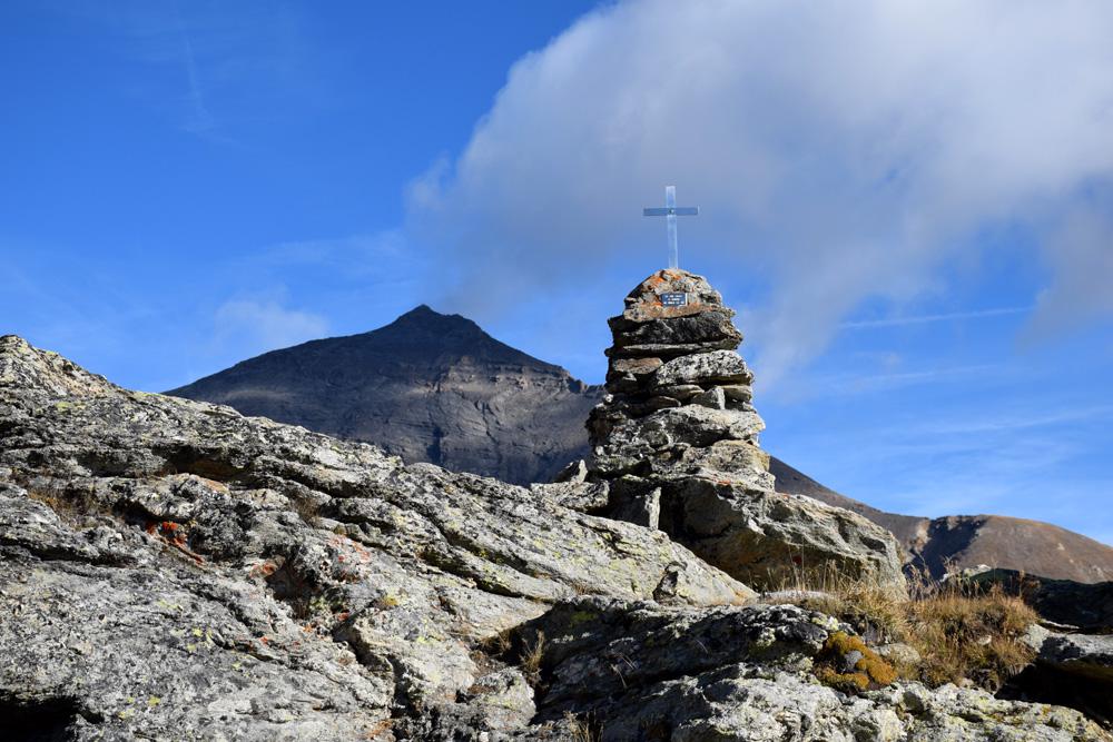
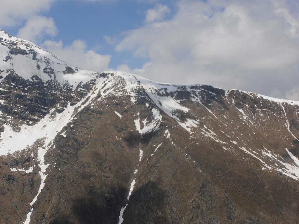
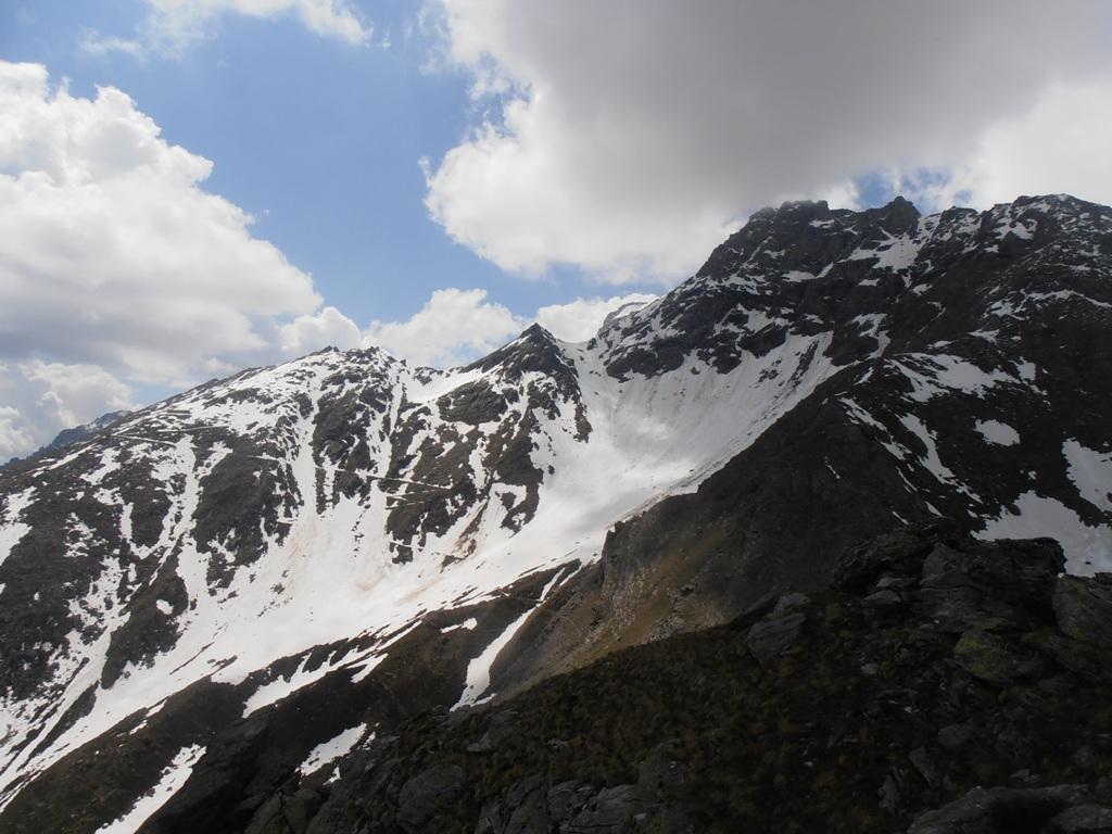
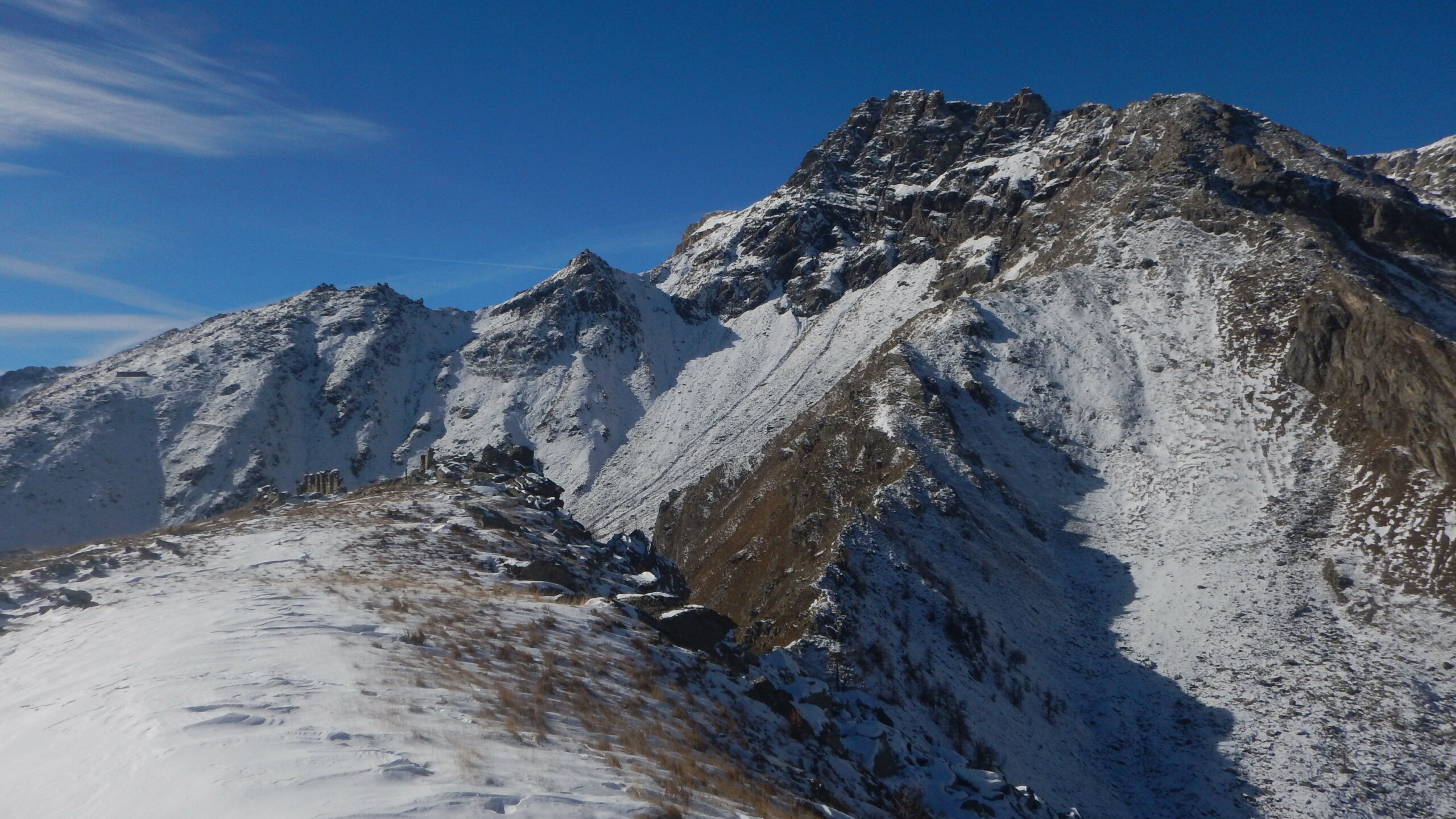
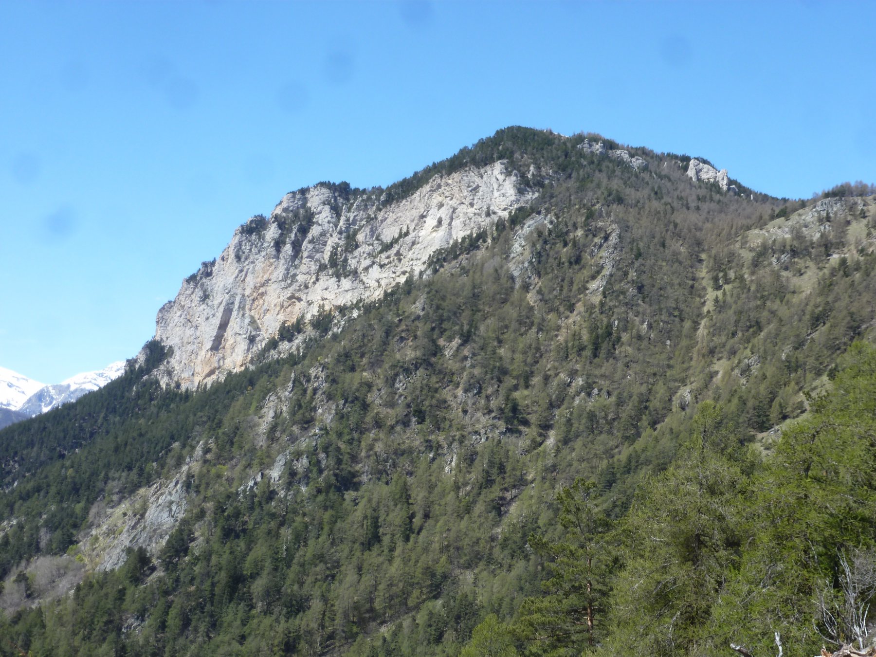
Si prosegue sulla traccia di sentiero, non sempre evidente dirigendosi verso destra alla base di un pendio-canalone privo di vegetazione, che si risale con un sentiero (ex mulattiera militare in parte franata) dalle numerose serpentine. Quando si esce dal canale, in prossimità della dorsale S/SE si incontra una palina con cartelli indicatori, ottimo punto panoramico. Da qui si prosegue per il monte Chabriere sulla comoda dorsale erbosa fino ai ruderi militari posti in cima.
Per la discesa si può compiere un anello parziale, scendendo lungo la dorsale fino ai cartelli indicatori, quindi anzichè continuare a destra (percorso di salita) si segue il sentiero di sinistra (itinerario scialpinistico) che scende verso le Grange Souiller percorrendo il bosco. Si raggiungono le grange poste sulla strada per il Rifugio Levi Molinari, quindi non resta che seguirla in discesa fino a Selle Marre.
Altra possibilità di anello è quella di scendere per il Rifugio Levi Molinari e Grange della Valle
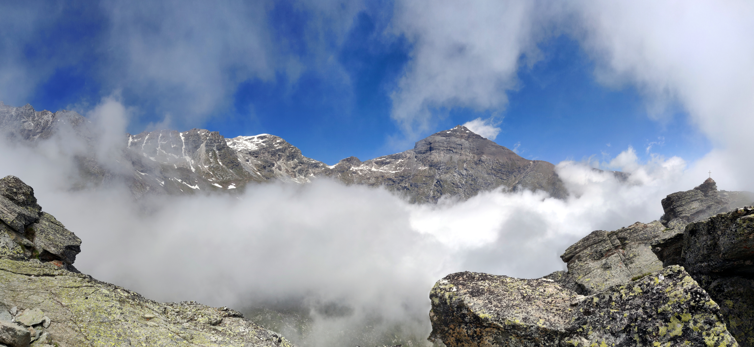
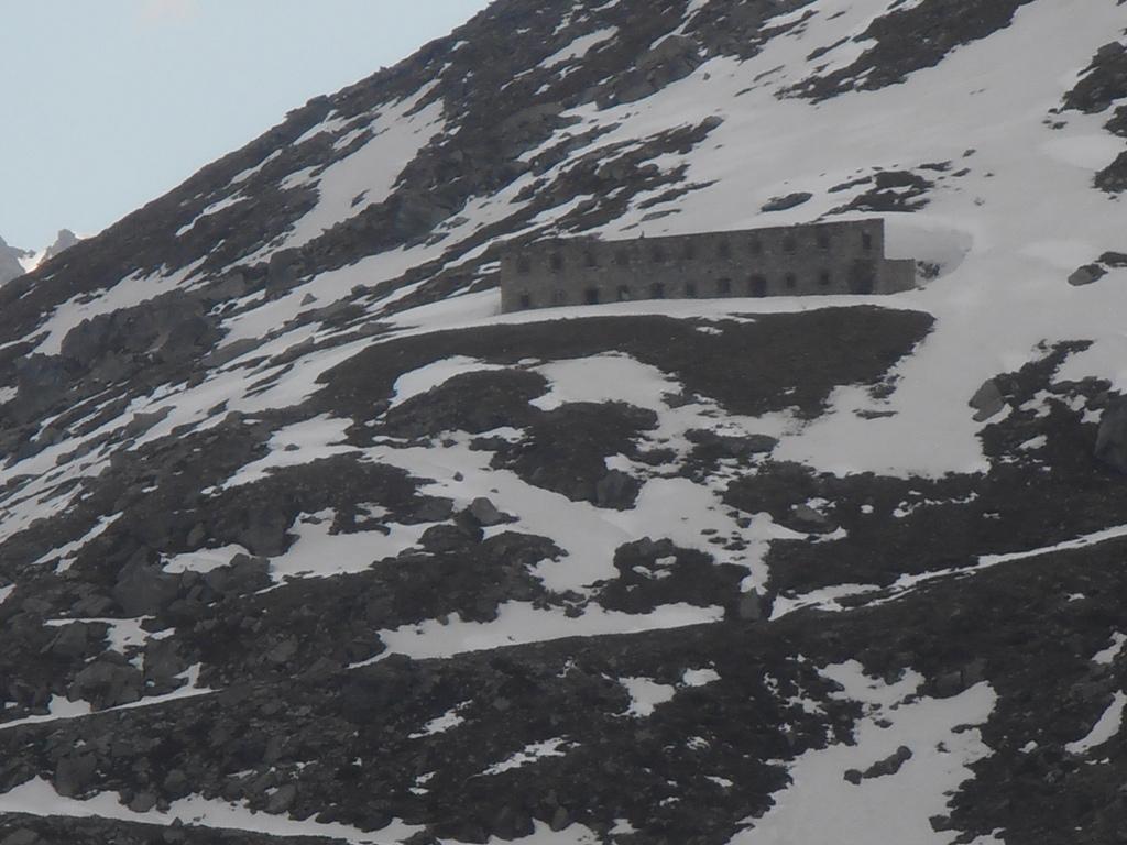
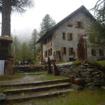
Dalla cima si segue il sentiero che scende ripidamente verso il combale Clot delle Selle (sotto la cima delle Monache) . Si raggiunge un colletto e si prosegue nel vallone passando in una zona pietrosa e scomoda e si raggiunge il sentiero che sale al lago delle Monache . Si prende a destra, scendendo sul sentiero ora più visibile anche se si perde un po’ nell’attraversamento di alcuni ruscelli, poi entra nel lariceto, ora più evidente, passa sotto una parete rocciosa a destra con numerose cascatelle e raggiunge in breve il rifugio Levi Molinari del CAI Torino. Da qui non resta che scendere sulla strada e raggiungere in breve il punto di partenza dell’anello.
- Cartografia:
- Fraternali 1:25000 n.1 Alta Valle di Susa
- Bibliografia:
- R. Barbiè - In cima 77 normali in Valle di Susa
Nelle vicinanze Mappa
Itinerari
25/09/2022 TO, Salbertrand D+ 659 m E Sud
Levi-Molinari (Rifugio) e Grange della Valle da Combes
 1Km
1Km
13/11/2025 TO, Salbertrand D+ 1299 m E Sud
Casses Blanches da Eclause
 1.1Km
1.1Km
09/08/2012 TO, Salbertrand D+ 9500 m EE Nord
Troncea, Lago Verde, Jervis, Giacoletti, Melezè (Rifugi) traversata Valle di Susa – Val Varaita traversata (6 gg)
 1.5Km
1.5Km
13/12/2020 TO, Salbertrand D+ 700 m E Est
Buissonière, Etanche (Case) da Salbetrand, anello del Gran Bosco
 1.5Km
1.5Km
09/04/2026 TO, Salbertrand D+ 720 m E Varie
Arlaud Daniele (Rifugio) da Salbertrand
 1.5Km
1.5Km
26/04/2026 TO, Salbertrand D+ 1517 m E Nord-Ovest
Mottas (Testa di) da Salbertrand per il Rifugio Arlaud e il Col Lauson
 1.5Km
1.5Km
19/03/2022 TO, Salbertrand D+ 862 m E Sud
Pramand (Forte) da Moncellier
 1.9Km
1.9Km
24/03/2024 TO, Salbertrand D+ 408 m T Sud
Moncellier, Eclause (Frazioni) da Salbertrand, anello
 2.2Km
2.2Km
11/11/2007 TO, Salbertrand D+ 1410 m EE Varie
Galambra (Passo) da Selle Marre, anello per il Monte Chabriere e Casses Blanches
2.2Km
12/09/2015 TO, Salbertrand D+ 1380 m EE/F Sud-Est
Vallonetto (Cima del) da Grange Hubert
 2.7Km
2.7Km
Servizi
2.2Km
3Km
Arlaud Rifugio
Salbertrand
3.6Km
La Quadriglia Ristorante
Exilles
3.6Km
L’ultima stisa Ristorante
Exilles
3.6Km
Levi Molinari Rifugio
Exilles
3.8Km
Touplan Ristorante
Exilles
5.2Km
Casa Assietta Rifugio
Pragelato
7.7Km
orto del frate Ristorante
Sauze d'Oulx
7.7Km
paddy mc ginty Ristorante
Sauze d'Oulx
7.9Km