4.1Km
4.1Km
Note
 1.4Km
1.4Km
1.4Km
1.7Km
1.7Km
1.7Km
2Km
2Km
1.4Km
1.4Km
1.4Km
1.7Km
1.7Km
1.7Km
2Km
2Km
4.1Km
4.1Km
4.1Km
4.5Km
6.8Km
7.1Km
7.4Km
7.4Km
7.4Km
7.5Km
Da effettuarsi prima dell'apertura o dopo la chiusura delle piste da sci.
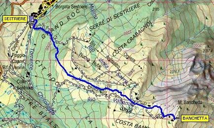
Avvicinamento
.
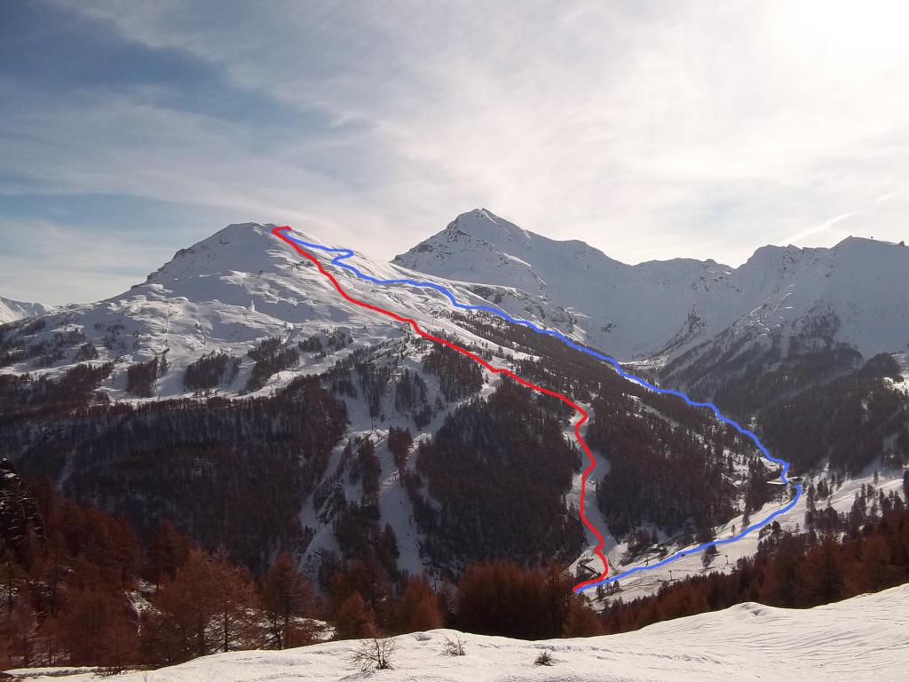
Descrizione
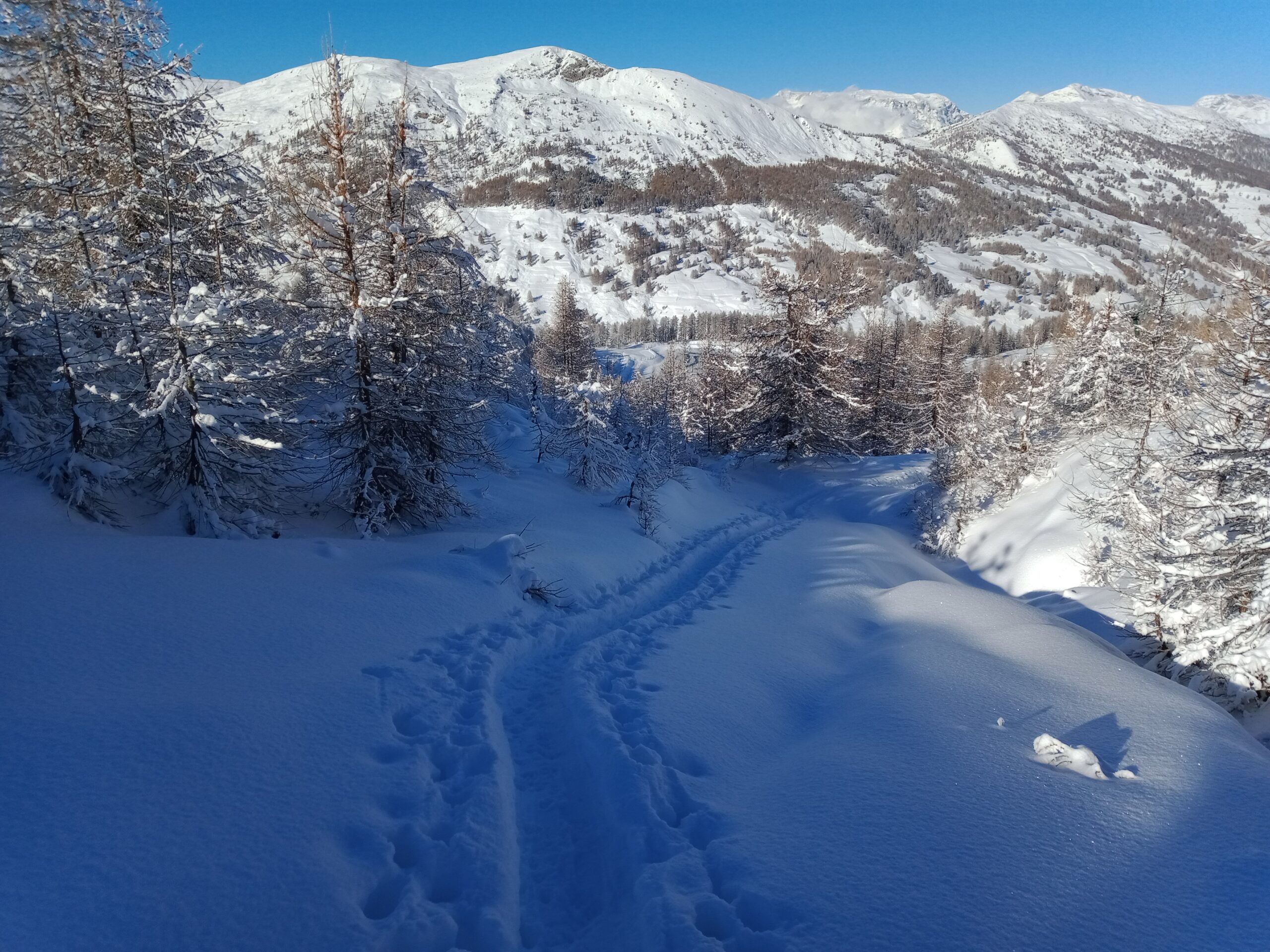
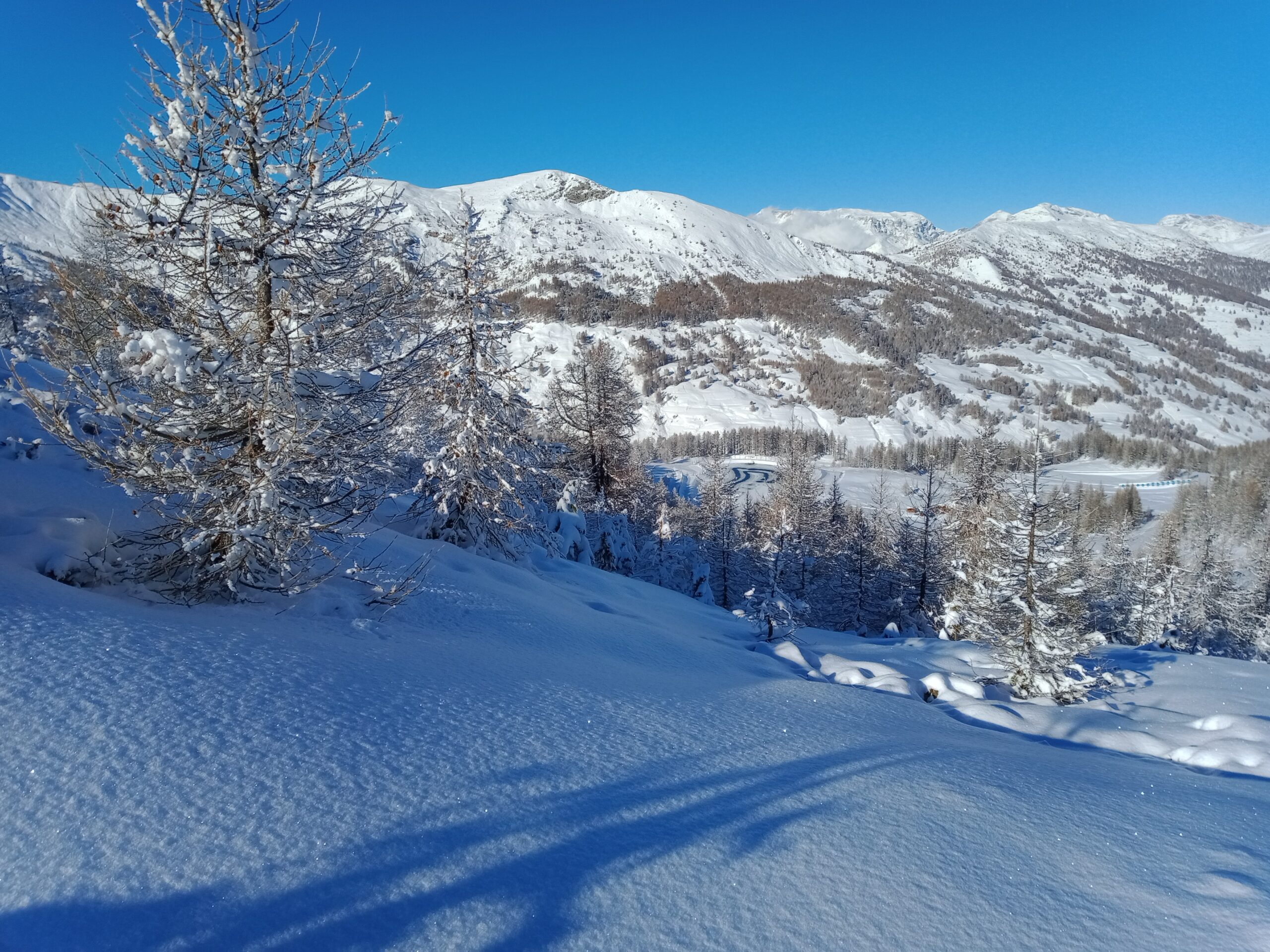
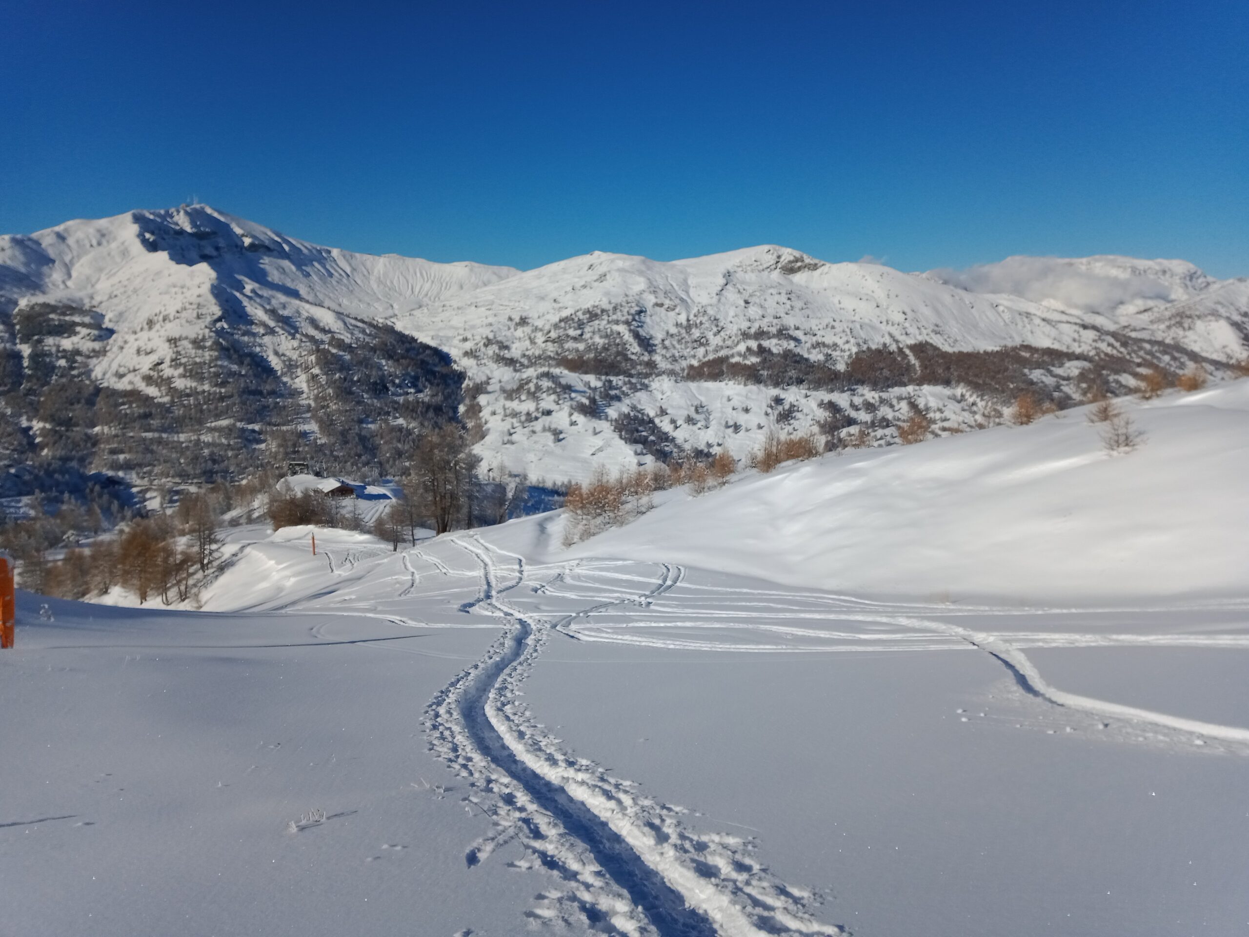
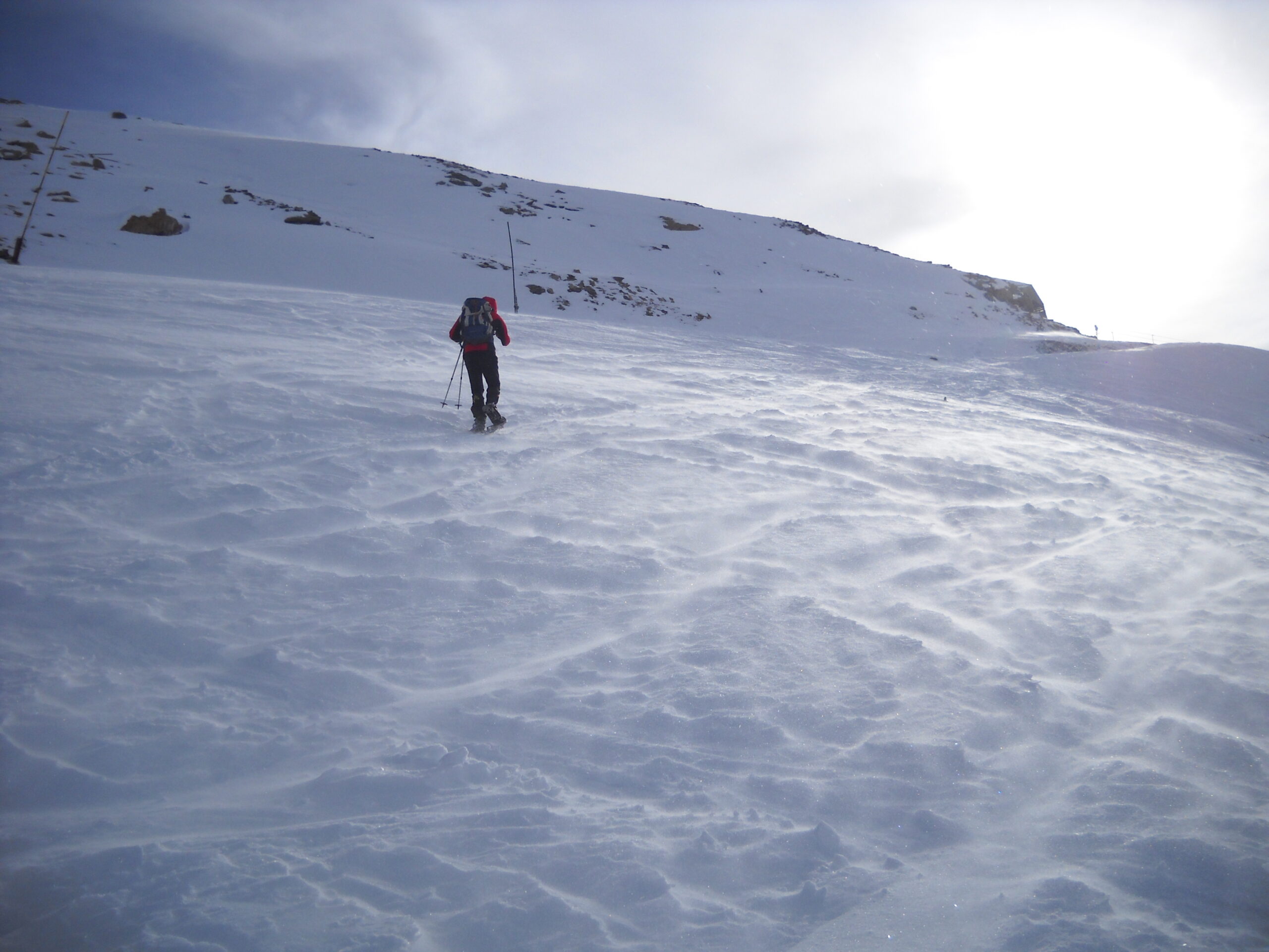
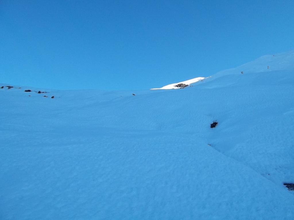
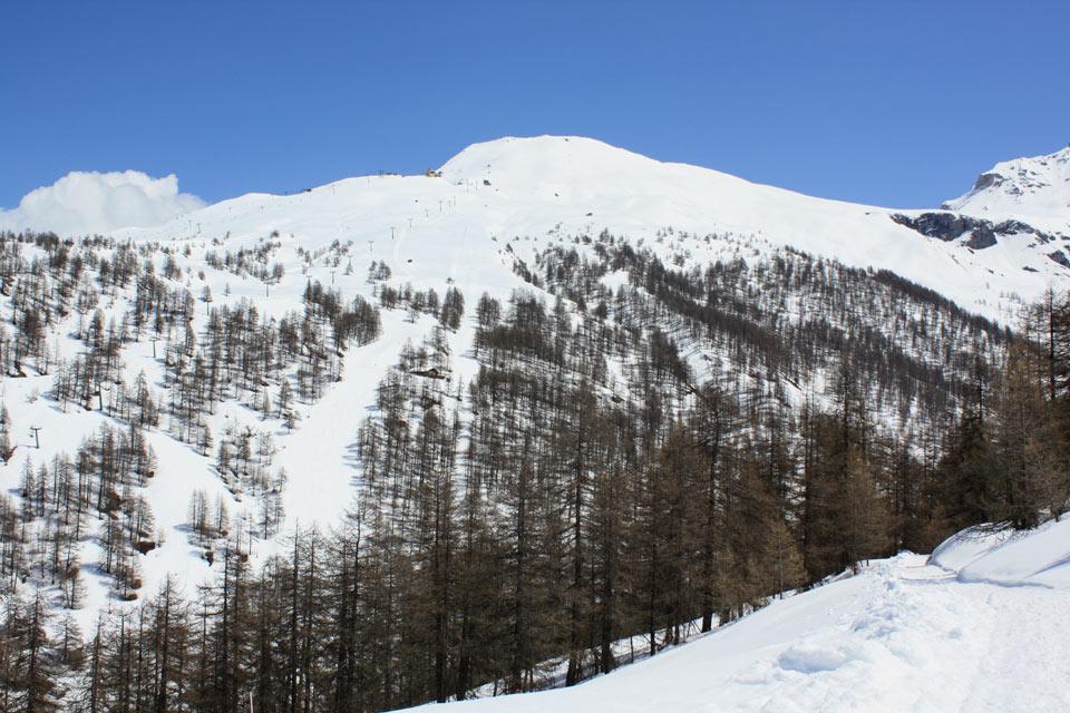
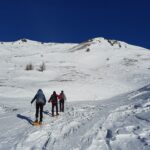
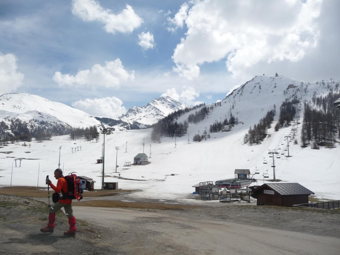
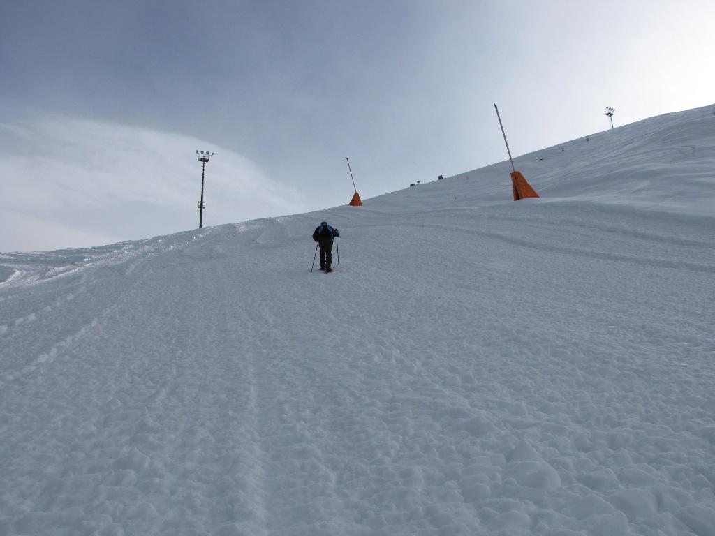
Si lascia l’auto nel parcheggio di Sestriere Borgata, preocedendo fino al primo impianto di risalita sulla destra. Da lì attraversato un ponticello parte la strada di servizio delle piste che si può seguire alternandola alla pista “Nube d’Argento” dove meno ripida. Dopo circa 45′ si giunge nell’anfiteatro dove si prosegue tenendosi alla destra del laghetto artificiale per poi salire sulla pista primavera, non eccessivamente ripida. La si segue fedelamente fino nei pressi del Hotel Rifugio Tana della Volpe.
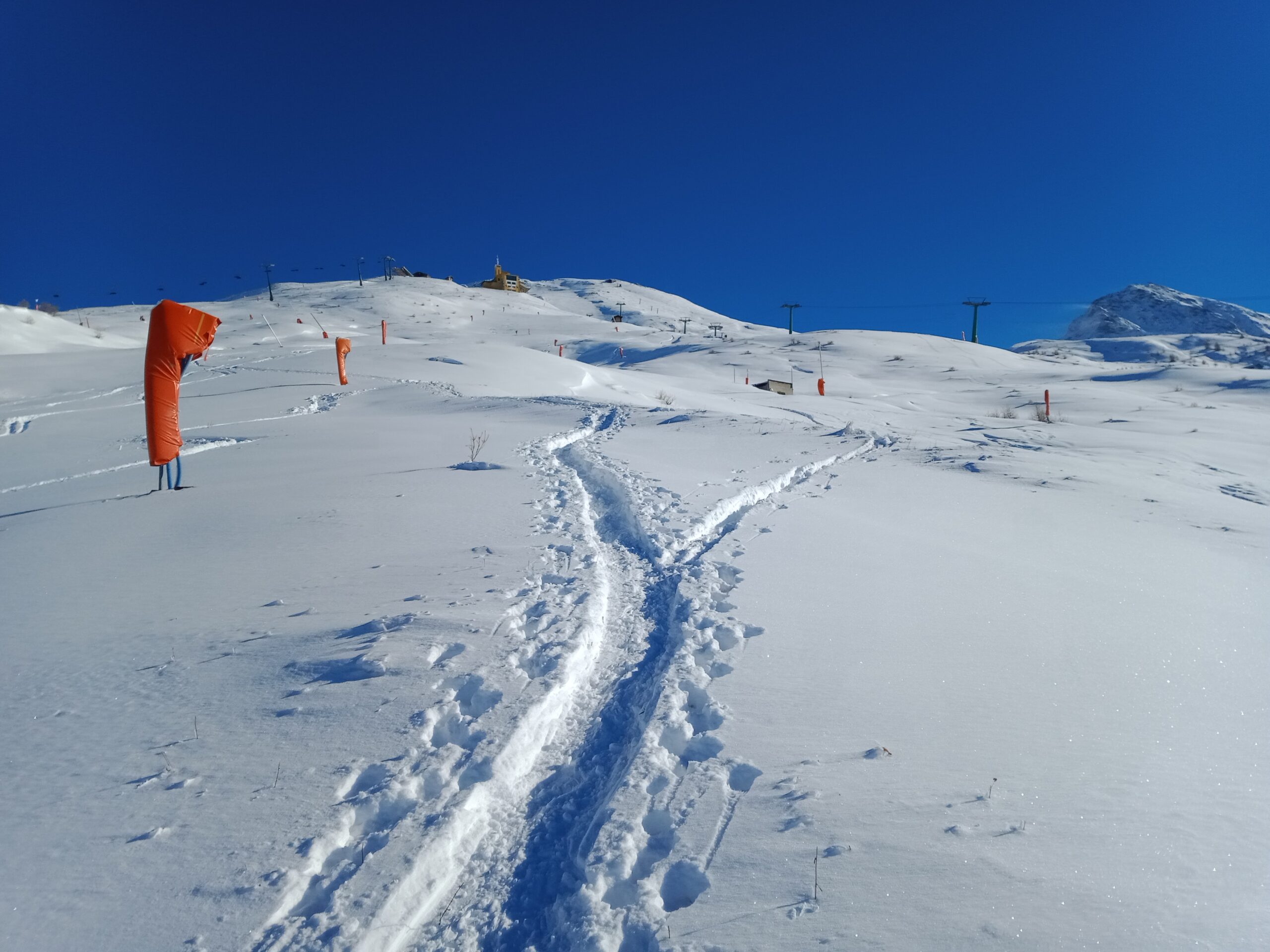
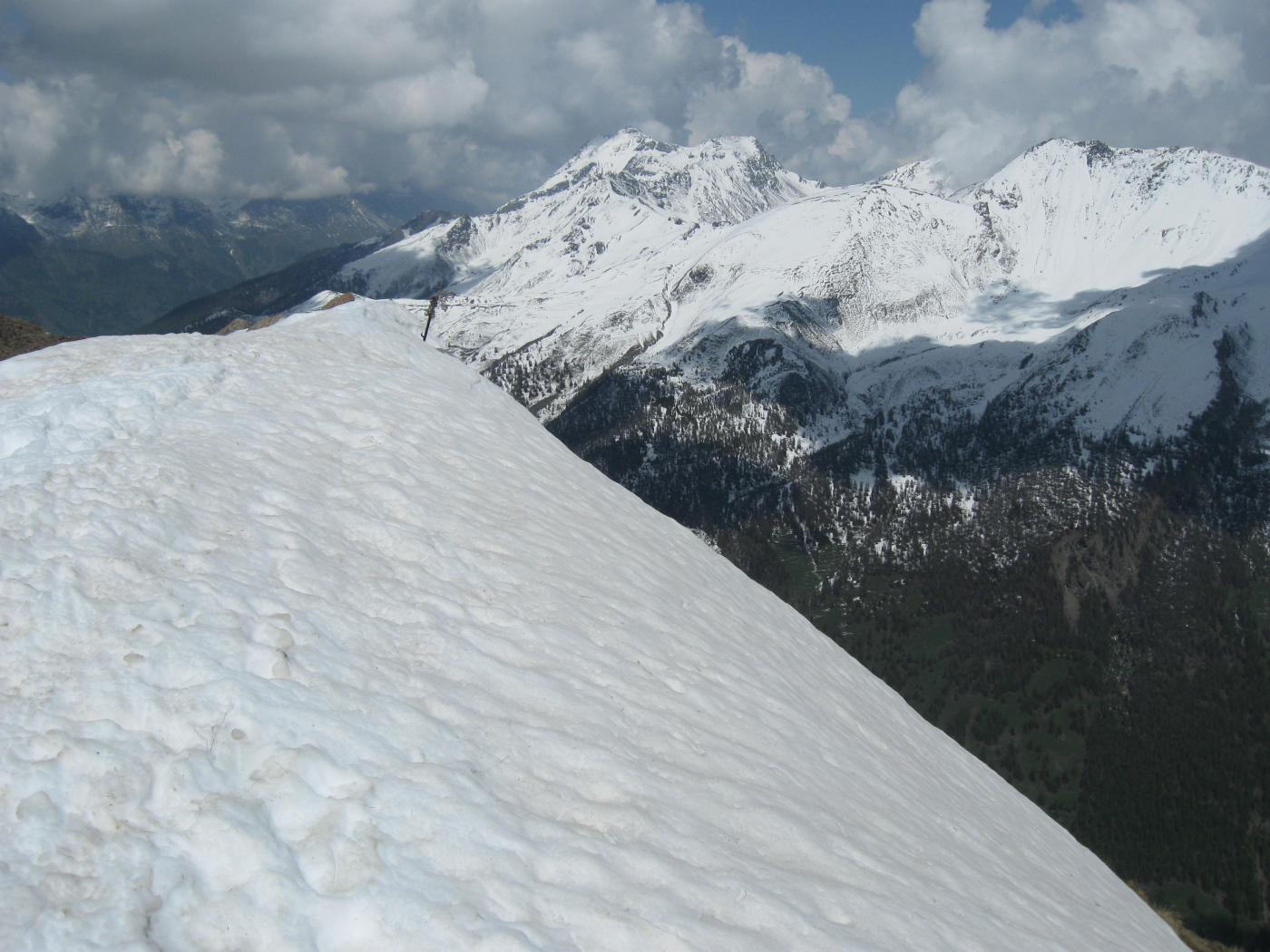
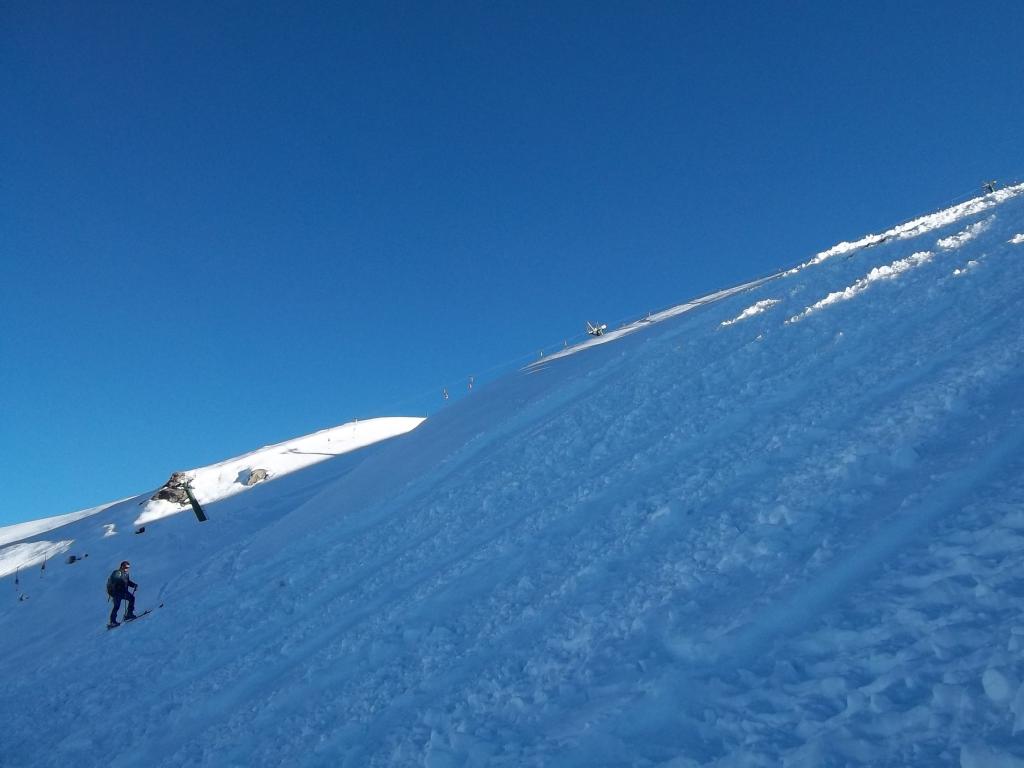
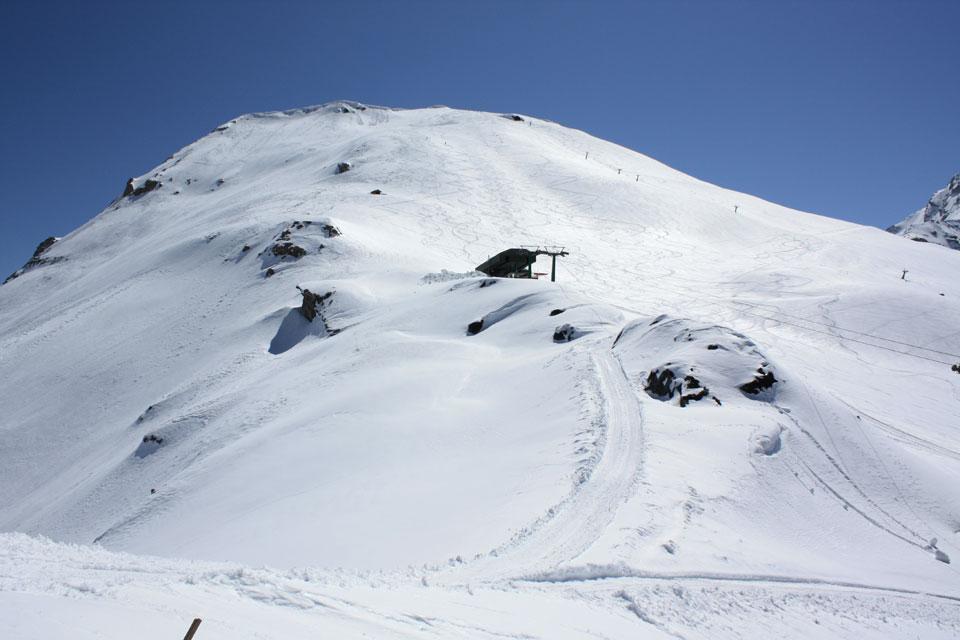
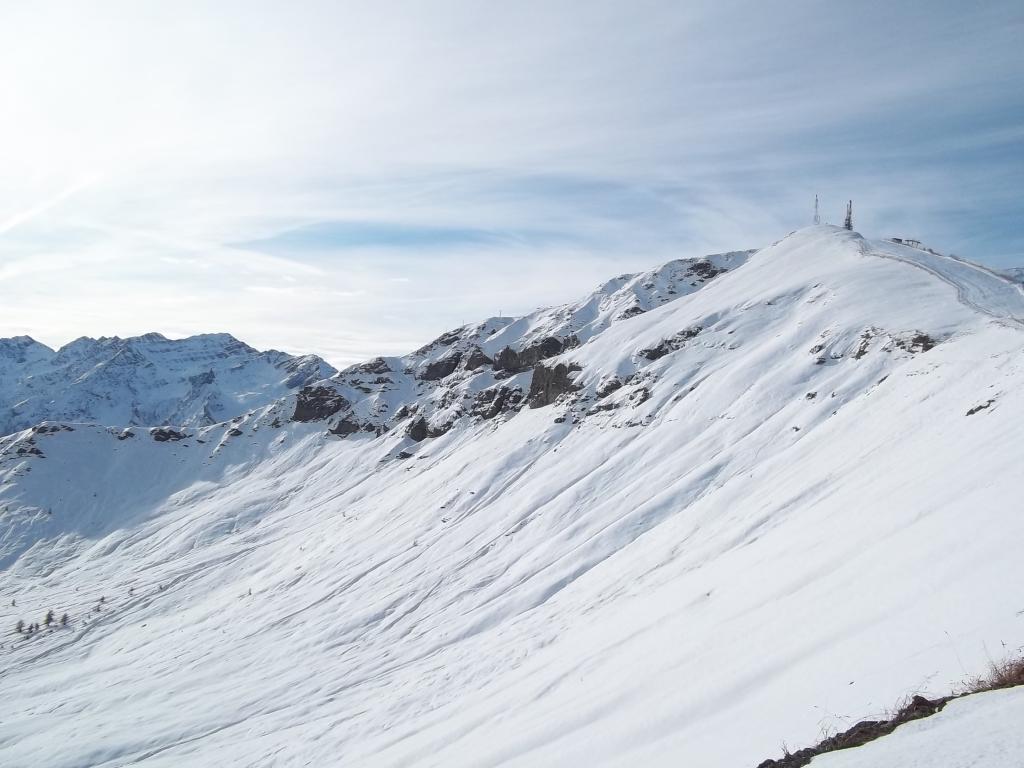
Da qui si può scegliere se affrontare il ripido pendio finale oppure se aggirarlo passando sulla destra dove si incrocia una stradina nei pressi dello ski-lift, che con alcuni tornanti porta all’arrivo sello stesso poco sotto la cima. Da qui si risale accanto al casotto fino a guadagnare la dorsale di vetta.
Ultima revisione 23/01/2024
Nelle vicinanze Mappa
Itinerari
13/02/2021 TO, Sestriere D+ 182 m MR Sud-Est
Rotta (Monte) da Sestriere
 1.4Km
1.4Km
25/11/2012 TO, Sestriere D+ 1250 m ORA, PD Nord-Ovest
Rognosa del Sestriere (Punta) da Sestriere per il Canalone NO
 1.4Km
1.4Km
01/05/2019 TO, Sestriere D+ 1245 m BRA, F Nord
Rognosa del Sestriere (Punta della) da Sestriere
 1.4Km
1.4Km
05/01/2019 TO, Sestriere D+ 513 m MR Sud-Ovest
Aigle (Pitre de l’) da Sestriere per il Vallon Croux
 1.7Km
1.7Km
16/01/2021 TO, Sestriere D+ 493 m MR Sud
Treceira (Costa) da Sestriere per il Col Basset
 1.7Km
1.7Km
03/01/2023 TO, Sestriere D+ 670 m MR Sud
Fraiteve (Monte) da Sestriere
 1.7Km
1.7Km
22/04/2006 TO, Sestriere D+ 270 m MR Nord-Ovest
Alpette (Monte) da Sestriere
2Km
23/04/2015 TO, Sestriere D+ 800 m BR Nord-Ovest
Querellet (Monte) e Monte Sises da Sestriere, anello per Bessen Haut
 2Km
2Km
13/12/2020 TO, Sestriere D+ 623 m MR Nord-Ovest
Sises (Monte) da Sestriere
 2Km
2Km
27/12/2022 TO, Pragelato D+ 700 m MRA, F+ Sud-Est
Aigle (Pitre de l’) da Chezal per il canalino Sud
2.9Km
Servizi
4.1Km
4.1Km
Al Mulino Ristorante
Pragelato
4.1Km
Misun La Font Ristorante
Sauze di Cesana
4.5Km
Mulino di Laval Rifugio
Pragelato
6.8Km
Refugium – ex. Rif. Belotte Rifugio
Pragelato
7.1Km
Troncea Rifugio
Pragelato
7.4Km
orto del frate Ristorante
Sauze d'Oulx
7.4Km
paddy mc ginty Ristorante
Sauze d'Oulx
7.4Km
L’Cantun B&B
Sauze D'oulx
7.5Km