 1.3Km
1.3Km
Note
 1.5Km
1.7Km
1.7Km
1.7Km
1.7Km
1.7Km
1.7Km
1.5Km
1.7Km
1.7Km
1.7Km
1.7Km
1.7Km
1.7Km
1.3Km
1.3Km
2.4Km
4.4Km
4.7Km
4.8Km
4.8Km
6Km
6.2Km
6.8Km
Piccozza e ramponi per il canalino finale.
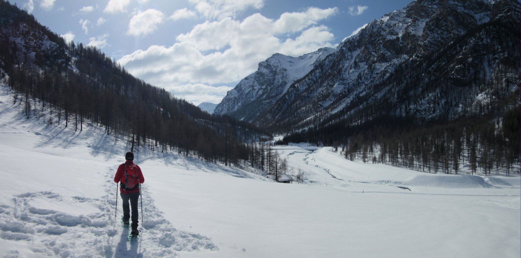
Avvicinamento
Risalire la Val Chisone e raggiungere Chezal, ultima frazione di Pragelato prima di Borgata.
Descrizione
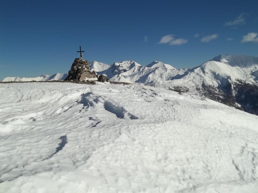
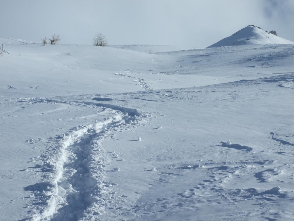
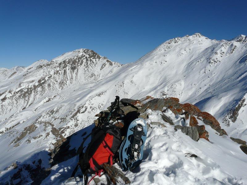
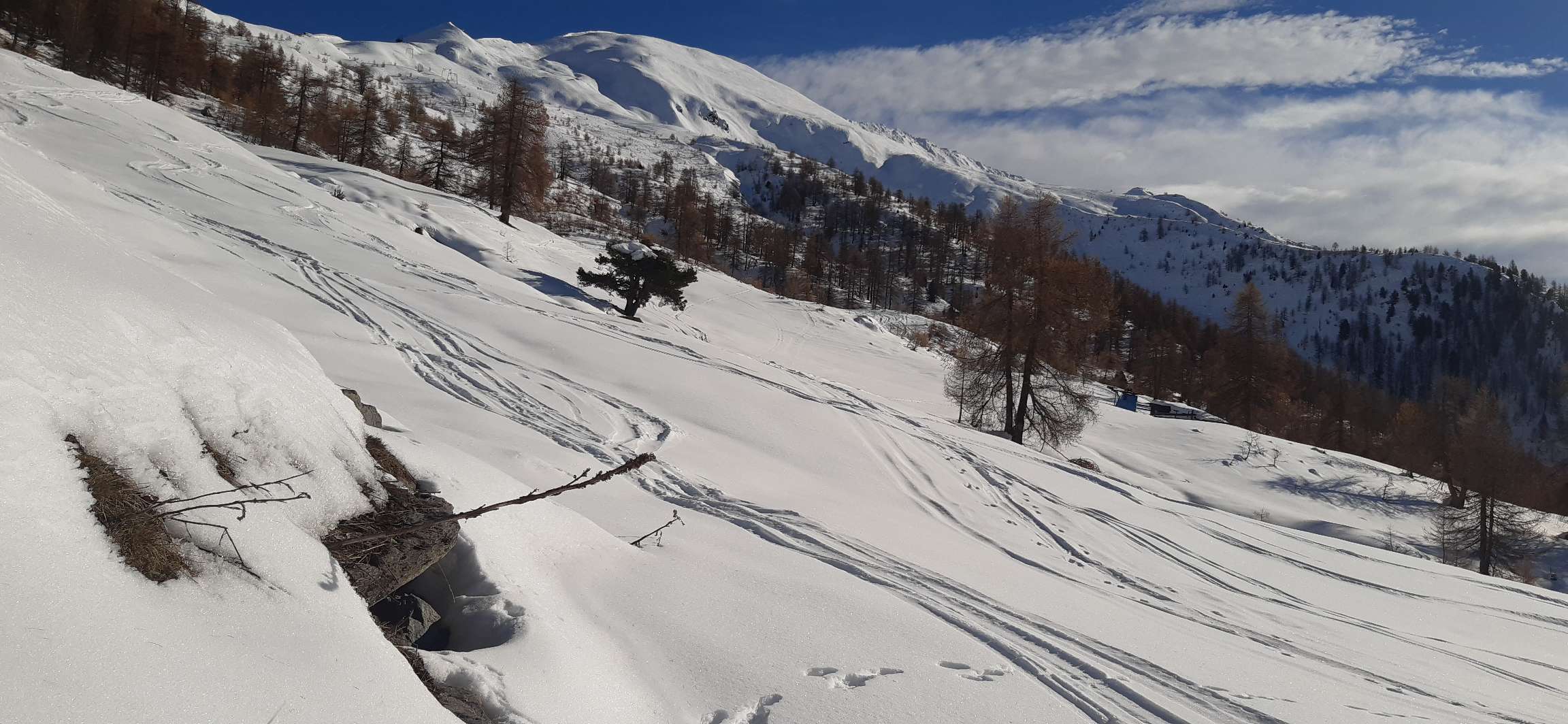
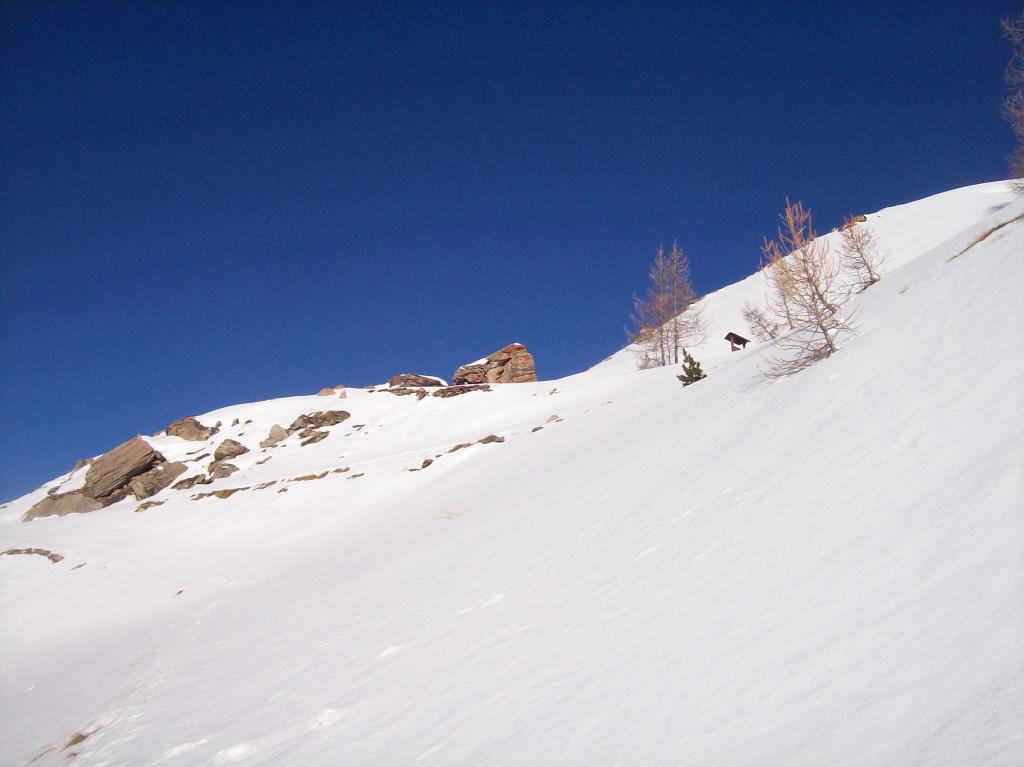
Da Chezal attraversare la borgata e prendere la pista che sale all’alpeggio, dove termina. Proseguire verso SO, in leggera salita, costeggiando la costa Zalet sul fianco meridionale. Raggiunto un pianoro traversare per pendii ora più ripidi raggiungendo la base del roccioso versante SSE del Pitre de l’Aigle, dove il canalino si insinua fra le rocce. Risalirlo fino in cresta uscendo poche decine di metri a E della vetta (100 m 40°). E’ anche possibile, dopo la strettoia iniziale sopra la conoide, tenere la sx e uscire direttamente in vetta (forse leggermente più ripido).
Discesa: seguire la costa Zalet fin sopra la verticale dell’alpeggio, quindi abbandonarla e scende all’alpe dove si ritrova la pista seguita in salita.
- Cartografia:
- Fraternali 1:25.000
- Bibliografia:
- Corno/Giovo - Alpinismo nelle valli Pinerolesi
Nelle vicinanze Mappa
Itinerari
22/02/2025 TO, Pragelato D+ 913 m BR Nord-Est
Aigle (Pitre de l’) da Traverses per la costa Zalet
 1.5Km
1.5Km
25/04/2024 TO, Pragelato D+ 1165 m MR Ovest
Morefreddo (Monte) da Pattemouche
 1.7Km
1.7Km
03/01/2012 TO, Pragelato D+ 1400 m OR Nord-Ovest
Pelato (Monte) da Pattemouche per la cresta NO
 1.7Km
1.7Km
16/02/2025 TO, Pragelato D+ 600 m MR Nord
Mey (Alpe) da Pattemouche per il Rifugio Troncea
 1.7Km
1.7Km
06/11/2005 TO, Pragelato D+ 1207 m BR Nord
Appenna (Monte) da Pattemouche per la Val Troncea
1.7Km
11/03/2026 TO, Pragelato D+ 400 m MR Nord-Ovest
Troncea (Rifugio) da Pattemouche, sentiero delle ciaspole
 1.7Km
1.7Km
07/03/2021 TO, Pragelato D+ 1150 m BRA, F+ Varie
Pelato (Monte) da Pattemouche per il Vallone Charnier e il canalino NE
1.7Km
04/02/2023 TO, Pragelato D+ 819 m MR Ovest
Soma (Clot della) da Pattemouche
 1.7Km
1.7Km
03/01/2013 TO, Pragelato D+ 405 m MR Ovest
San Martino (Forni di) da Pattemouche per il Rifugio Troncea
 1.7Km
1.7Km
07/03/2021 TO, Pragelato D+ 1300 m BR Nord-Ovest
Pra Crò (Punta) da Pattemouche
1.7Km
Servizi
1.3Km
1.3Km
Al Mulino Ristorante
Pragelato
2.4Km
Mulino di Laval Rifugio
Pragelato
4.4Km
Refugium – ex. Rif. Belotte Rifugio
Pragelato
4.7Km
Casa degli Escartons Alex Berton B&B
Pragelato
4.8Km
Casa Alpina Rifugio
Pragelato
4.8Km
Passet Ristorante
Pragelato
6Km
L’itialette Ristorante
Pragelato
6.2Km
Troncea Rifugio
Pragelato
6.8Km


