2.3Km
2.3Km

Avvicinamento
 4.2Km
4.6Km
4.7Km
4.8Km
4.8Km
4.8Km
4.8Km
5.3Km
5.3Km
4.2Km
4.6Km
4.7Km
4.8Km
4.8Km
4.8Km
4.8Km
5.3Km
5.3Km
2.3Km
4.3Km
4.5Km
4.5Km
4.6Km
4.9Km
5.8Km
6Km
6Km
6.4Km
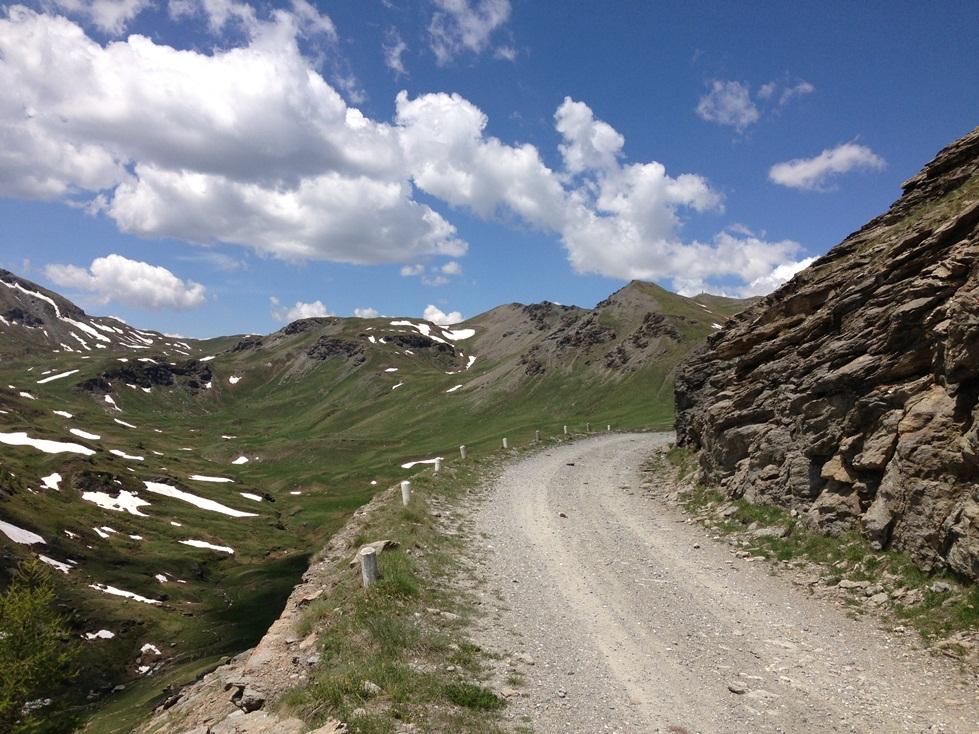
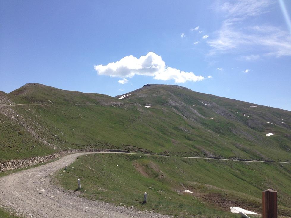
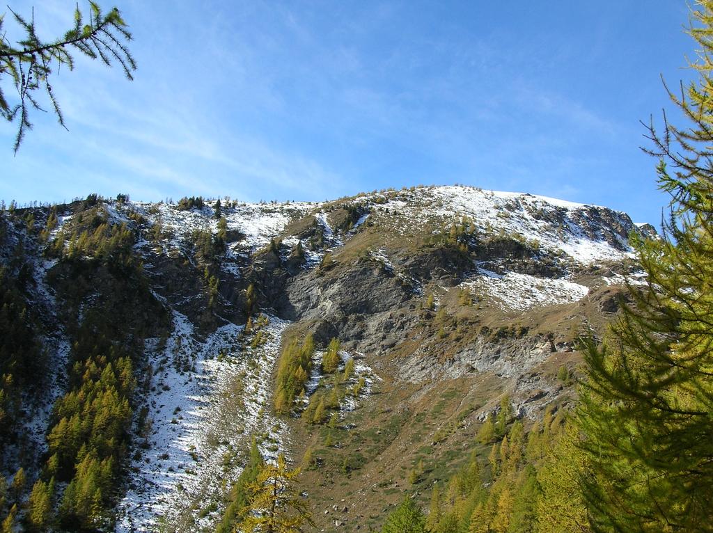
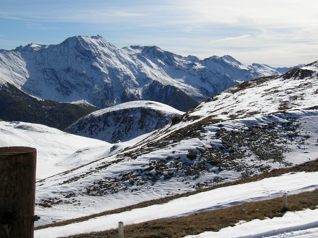
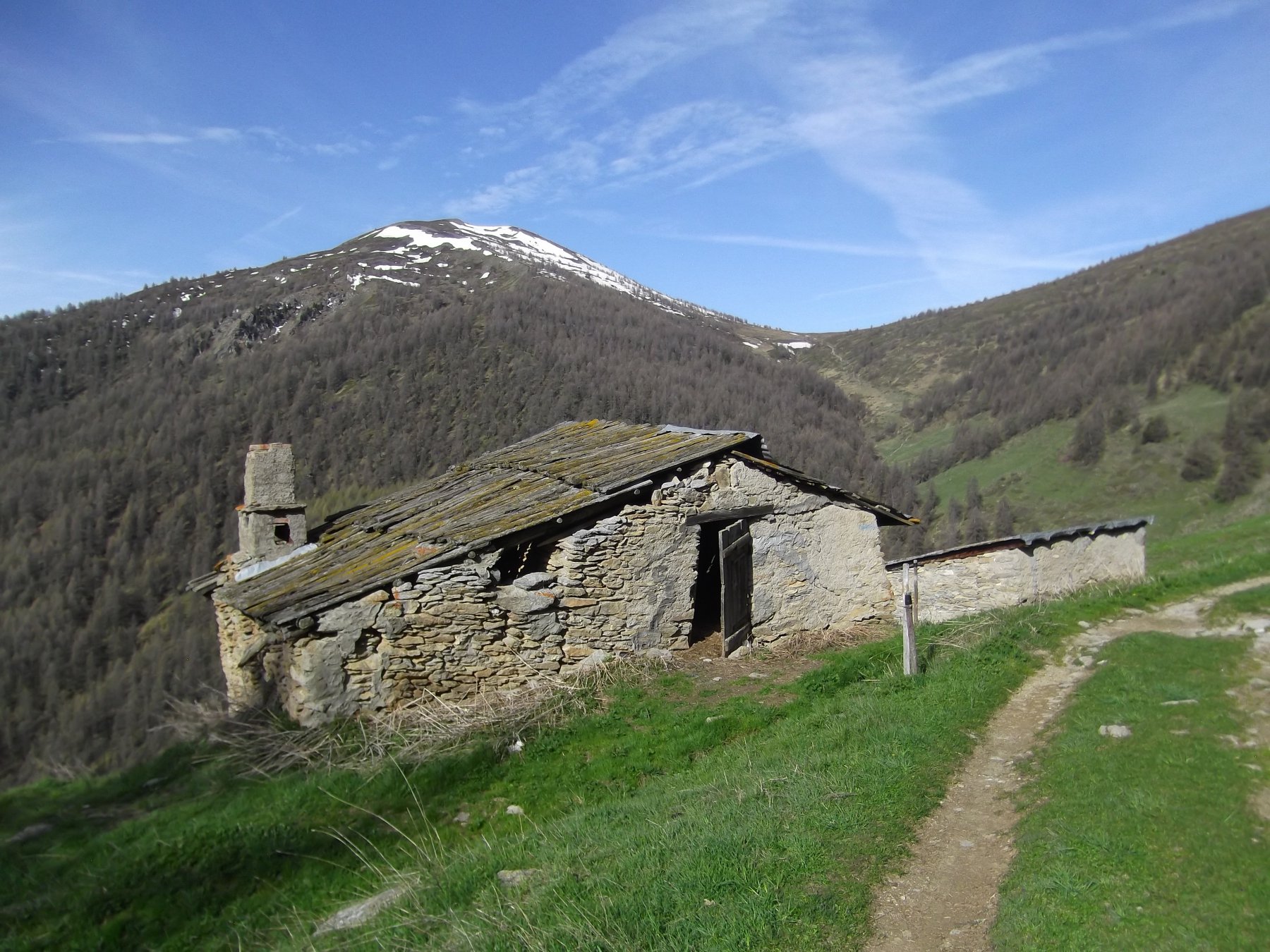
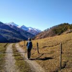
Da Pinerolo risalire la SR23 della Val Chisone fino al bivio per Usseaux o Balboutet, da dove si sale ai borghi e si prosegue verso il Colle delle Finestre. Giunti al Pian dell'Alpe, appena dopo l'agriturismo Lago delle Rane, si incontrra a destra il bivio per il colle dell'Assietta. La strada sterrata per il colle viene aperta solo da metà giugno (solitamente), altrimenti è chiusa a Pian dell'Alpe a quota 1900 m. Generalmente è percorribile da auto normali. Nel periodo estivo viene chiusa al traffico veicolare in alcuni giorni, informarsi.
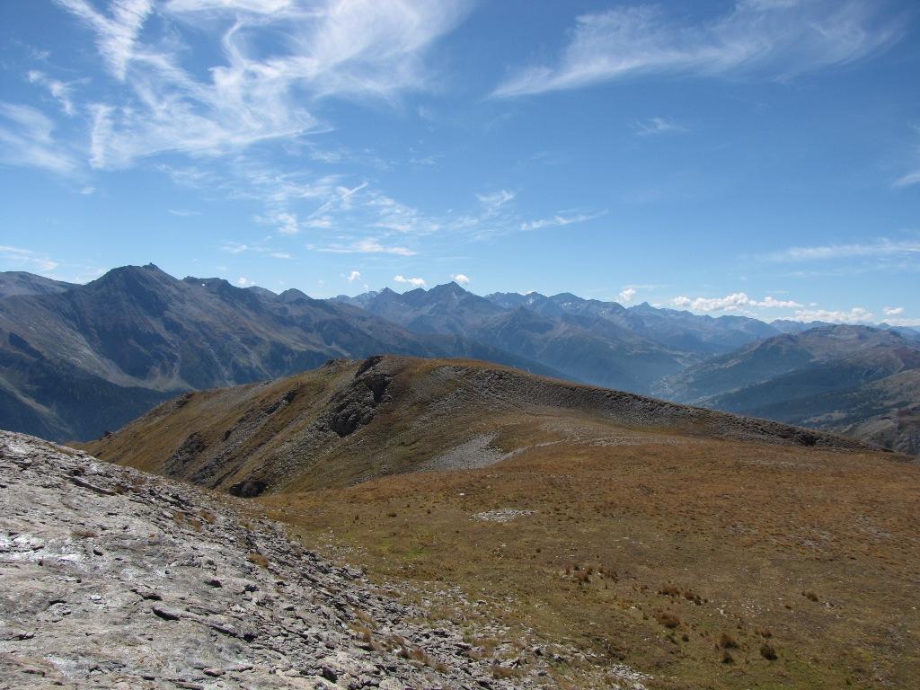
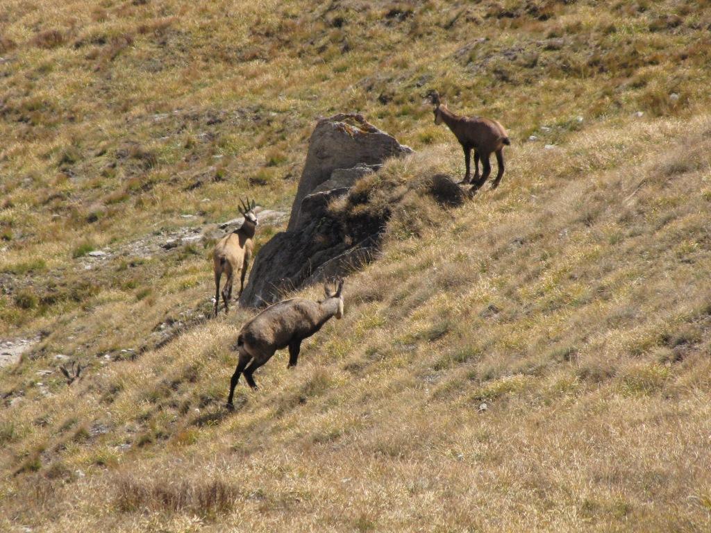
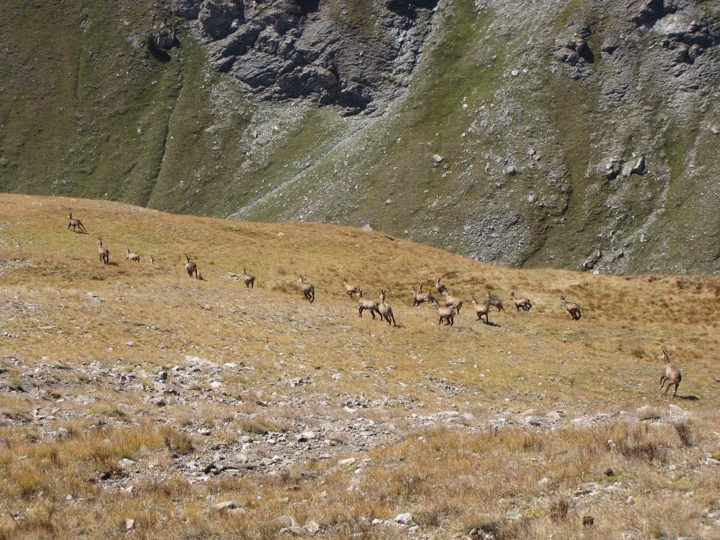
Descrizione
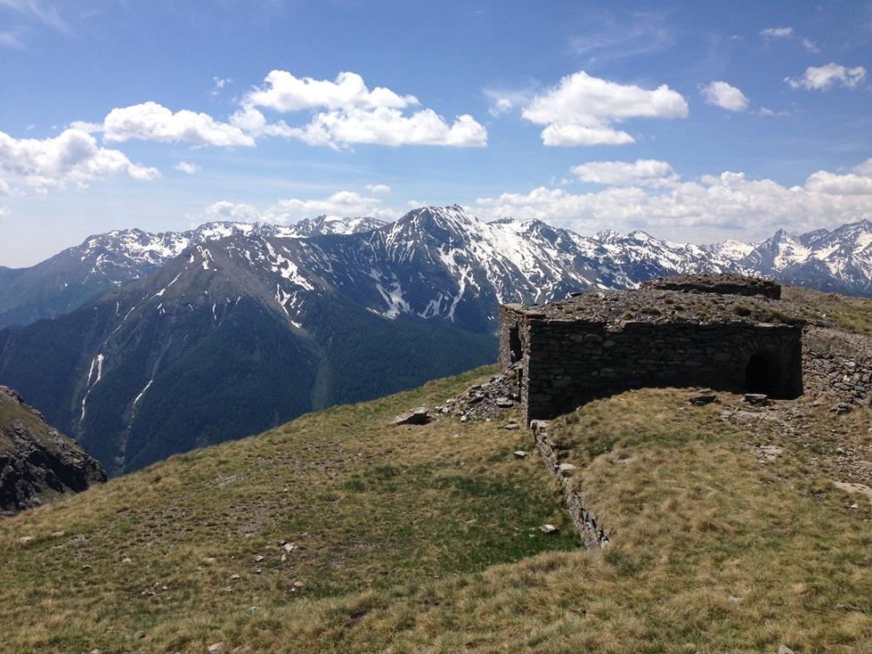
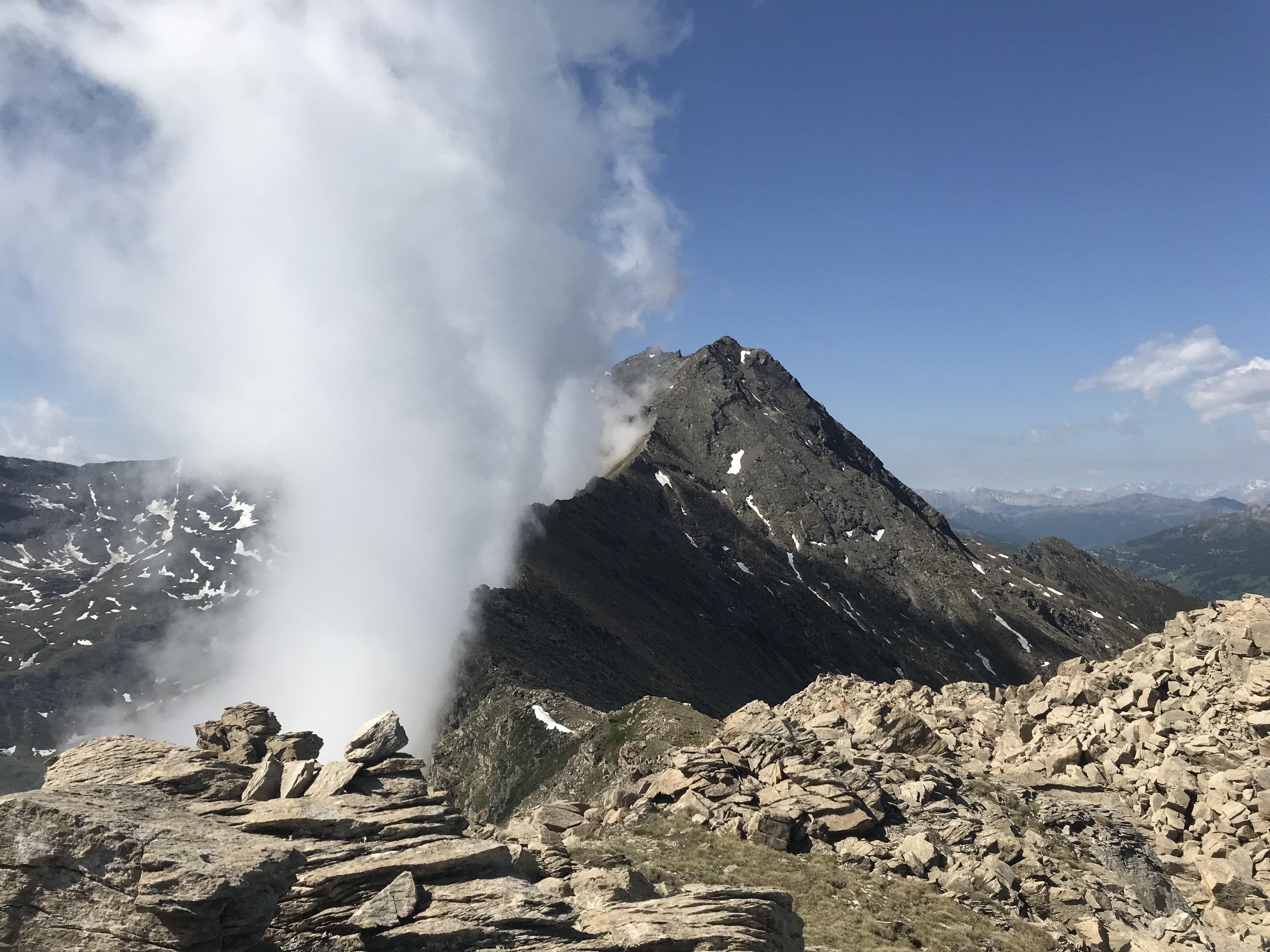
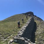
Dal Colle dell’Assietta per strada militare (divieto di transito!!) si arriva in breve alla Punta del Gran Serin m 2640, sulla cui cima si trovano i ruderi di una batteria di cannoni.
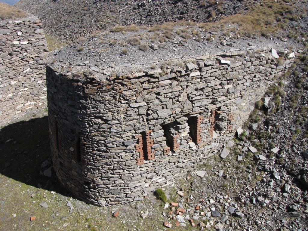
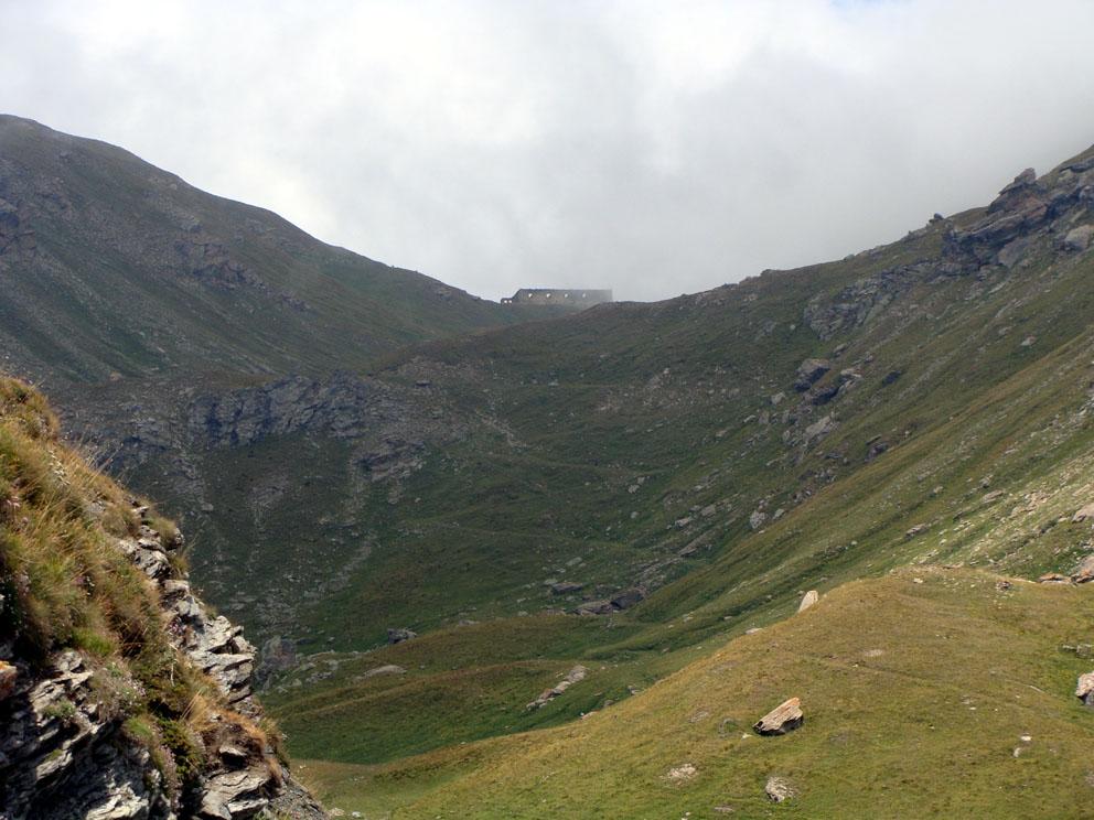
Da qui si scende al Colle Gran Serin 2540 m (ruderi di due grandi caserme) e si risale al Gran Pelà m 2700 per sentierino.
Dal Gran Pelà si scende sul versante opposto per sentiero ben tracciato fino al Colle di Vallon Creux m 2552, da cui per prati si arriva alla Cima delle Vallette 2743 m.
Da qui si ridiscende al Colle di Vallon Creux e, se non si vuole risalire al Gran Pelà, si prende la strada militare che praticamente in piano riporta al Colle Gran Serin
- Cartografia:
- IGC Valle di Susa e Chisone
- Bibliografia:
- CAI - TCI Alpi Cozie Centrali
Nelle vicinanze Mappa
Itinerari
14/12/2025 TO, Usseaux D+ 1250 m E Varie
Gran Costa (Monte) da Fraisse per il Gran Cerogne, anello
3.9Km
29/05/2022 TO, Exilles D+ 1700 m E Nord
Assietta (Testa dell’) da Exilles
 4.2Km
4.2Km
31/05/2025 TO, Exilles D+ 1143 m E Sud-Est
Quattro Denti (Cima) o Denti di Chiomonte da Cels
 4.6Km
4.6Km
15/08/2025 TO, Pragelato D+ 1270 m EE Ovest
Ciabertas (Monte) da Soucheres Basses
 4.7Km
4.7Km
03/09/2017 TO, Pragelato D+ 740 m E Sud
Assietta (Testa dell’) da Grand Puy
 4.8Km
4.8Km
01/06/2020 TO, Pragelato D+ 977 m E Sud-Est
Moncrons (Punta di) da Grand Puy
 4.8Km
4.8Km
16/06/2018 TO, Pragelato D+ 1120 m E Sud
Gran Serin (Punta del) da Grand Puy per Col Lauson e Colle dell’Assietta
 4.8Km
4.8Km
14/11/2025 TO, Pragelato D+ 990 m E Sud
Gran Costa (Monte), Testa dell’Assietta, Monte Blegier da Grand Puy, anello
 4.8Km
4.8Km
17/10/2020 TO, Usseaux D+ 1000 m EE Tutte
Balboutet, Cerogne, Faussimagna, Gran Puy, Rif, Allevé (Borgate) da Pourrieres, anello
 5.3Km
5.3Km
12/07/2026 TO, Chiomonte D+ 1030 m E Nord-Ovest
Gran Serin (Punta del) da Frais
 5.3Km
5.3Km
Servizi
2.3Km
4.3Km
1898 Ristorante
Soucheres-basses
4.5Km
Touplan Ristorante
Exilles
4.5Km
L’ultima stisa Ristorante
Exilles
4.6Km
La Quadriglia Ristorante
Exilles
4.9Km
L’itialette Ristorante
Pragelato
5.8Km
Arlaud Rifugio
Salbertrand
6Km
Ramats Ristorante
Chiomonte
6Km
Jamais sans tois Ristorante
Chiomonte
6.4Km