250m
250m
Note
 0m
50m
50m
50m
50m
3.7Km
3.7Km
3.7Km
3.7Km
0m
50m
50m
50m
50m
3.7Km
3.7Km
3.7Km
3.7Km
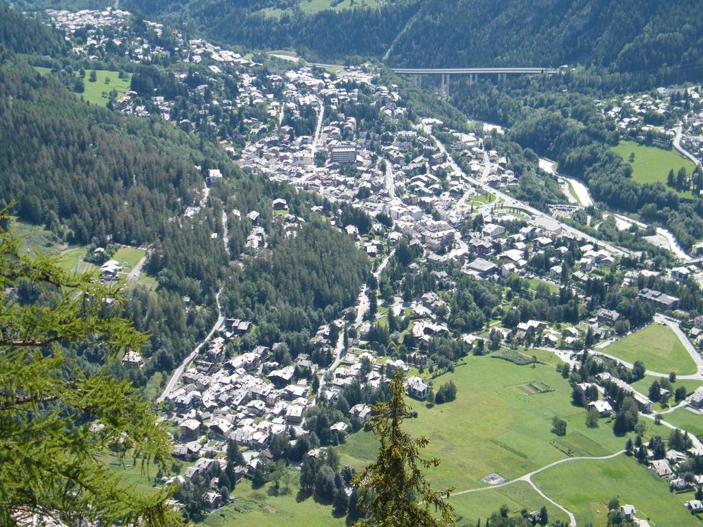
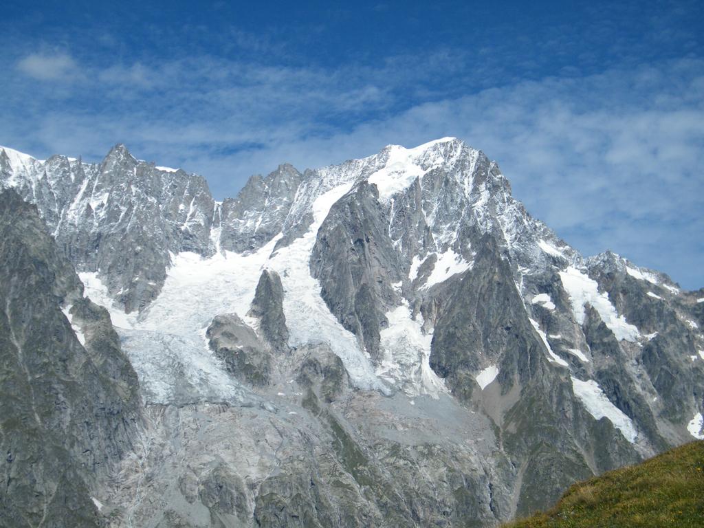
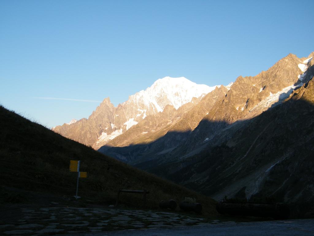
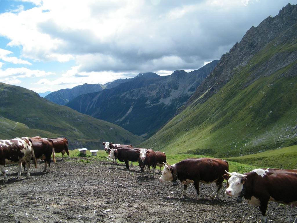
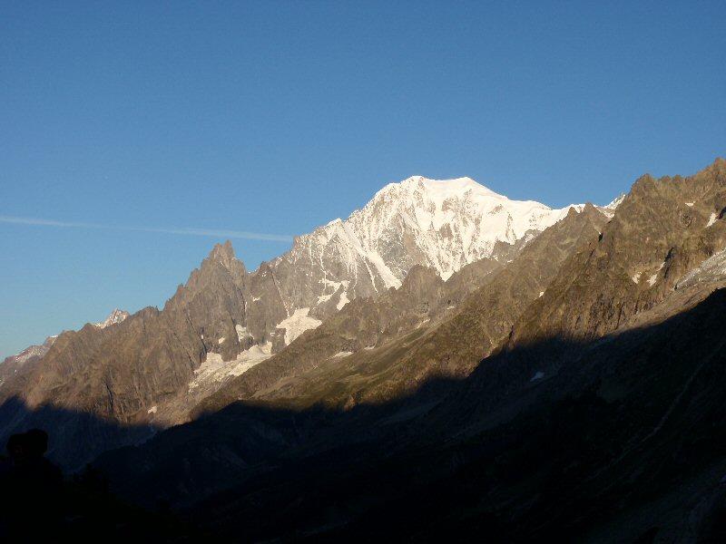
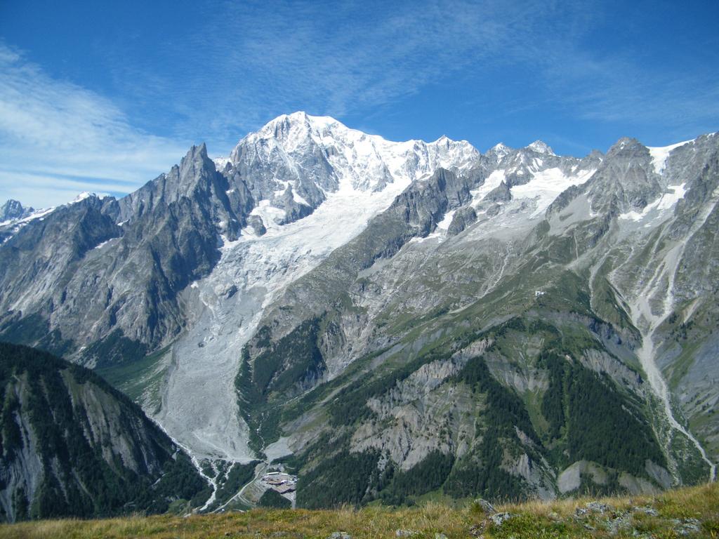
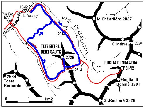
Interessante itinerario circolare che risale il vallone del Malatrà e ridiscende dal vallone d’Armina richiudendosi al rifugio Bonatti, con ampi panorami sulla Val Ferret e il Gruppo del Bianco.
Avvicinamento
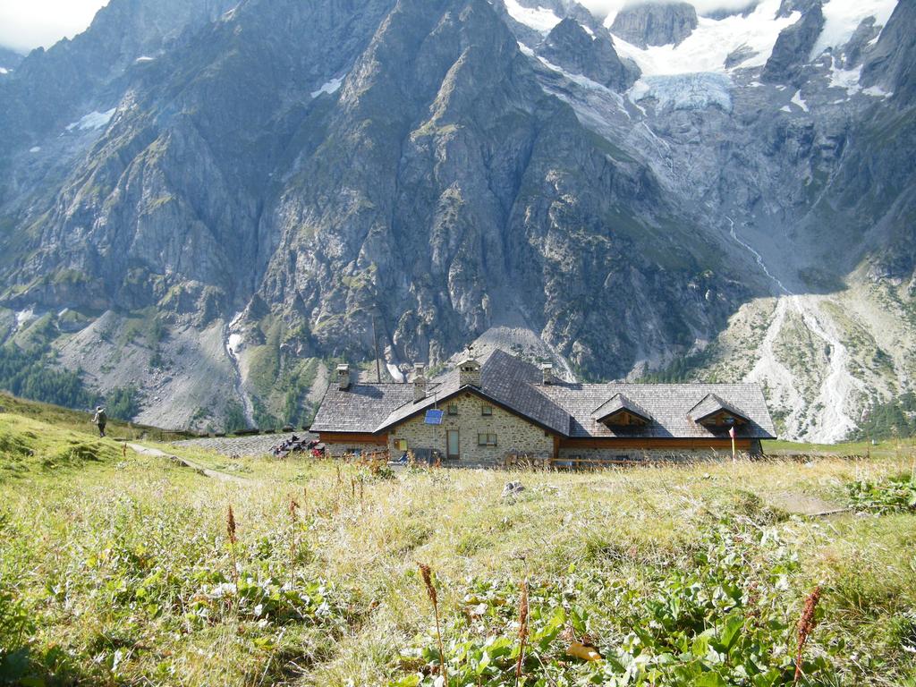
Percorrere tutta la val Ferret sino a Lavachey dove si trova il parcheggio all’imbocco del sentiero per il rifugio Bonatti. L’accesso in auto alla valle potrebbe essere chiuso nei giorni festivi con servizio navetta dalle ore 9.30.
Descrizione
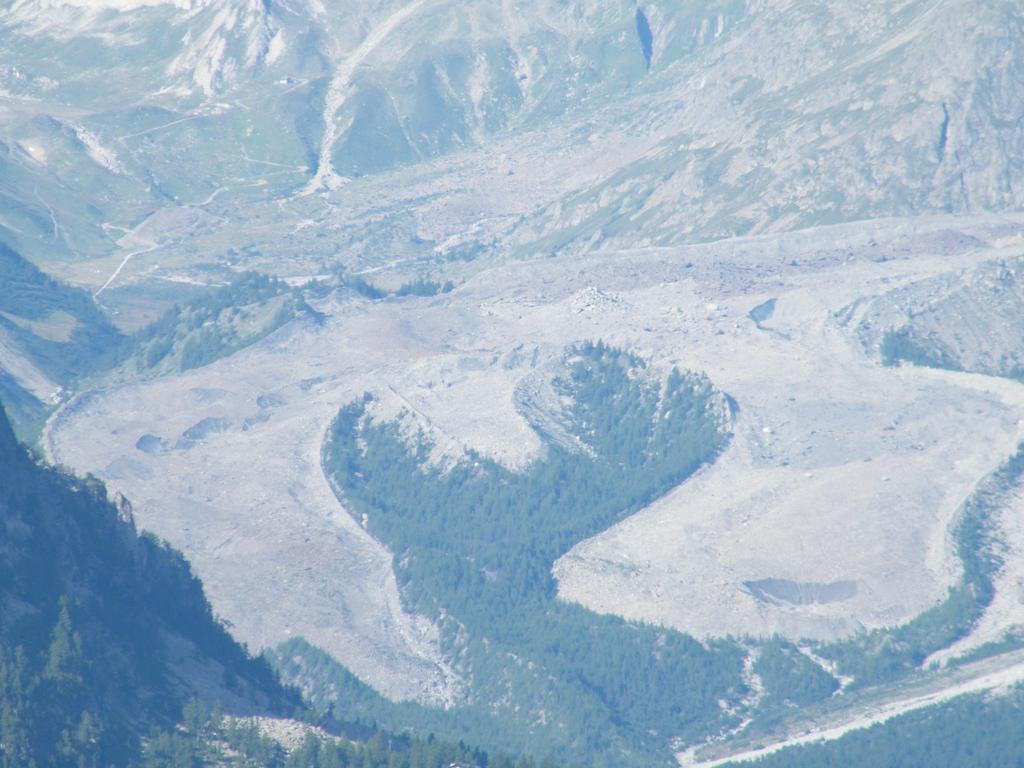
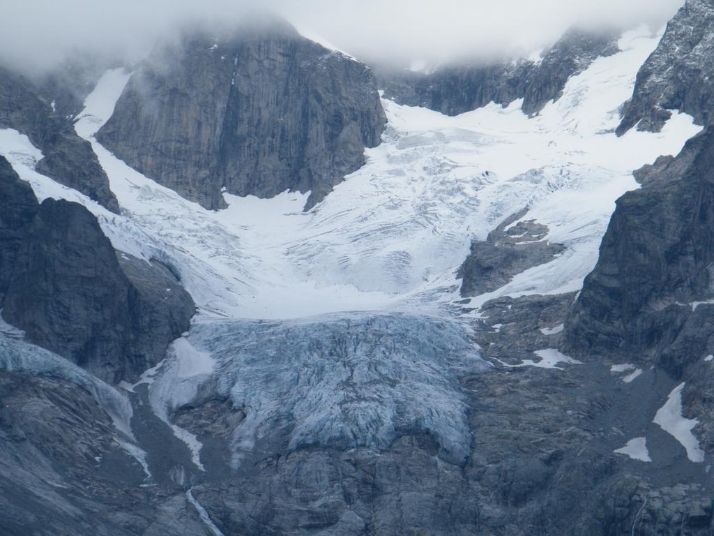
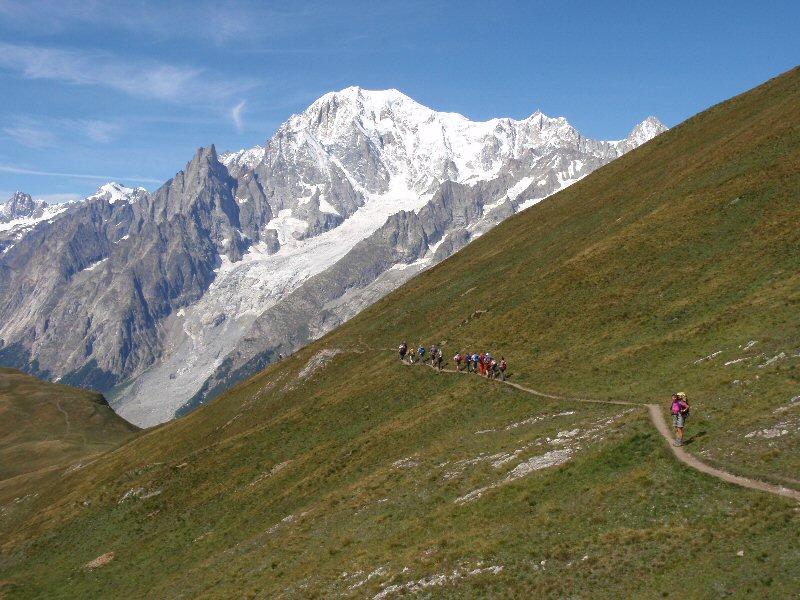
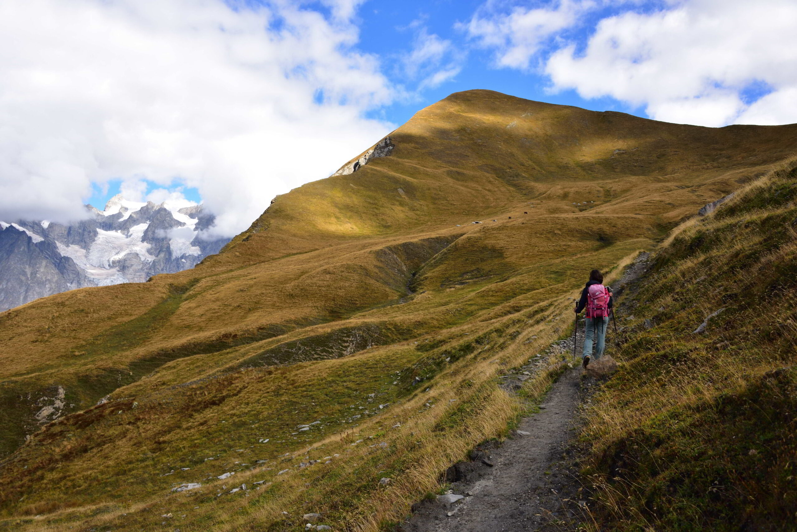
Al Parcheggio a Lavachey 1690m seguire il sentiero n.42 e dell’alta via n1 sino al rifugio Bonatti 2025m. Continuare superando il rifugio tenendolo a sx e le baite che si incrociano di li a poco. Alla prima deviazione del sentiero, trascurare la deviazione a sx per l’itinerario del Malatrà e dell’alta via n1 e salire tenendo verso dx per il sentiero n.42 percorrendo tutto il vallone dove sul tratto terminale il sentiero svolta salendo a dx sino ad arrivare al col Entre Deux Sex 2524m.
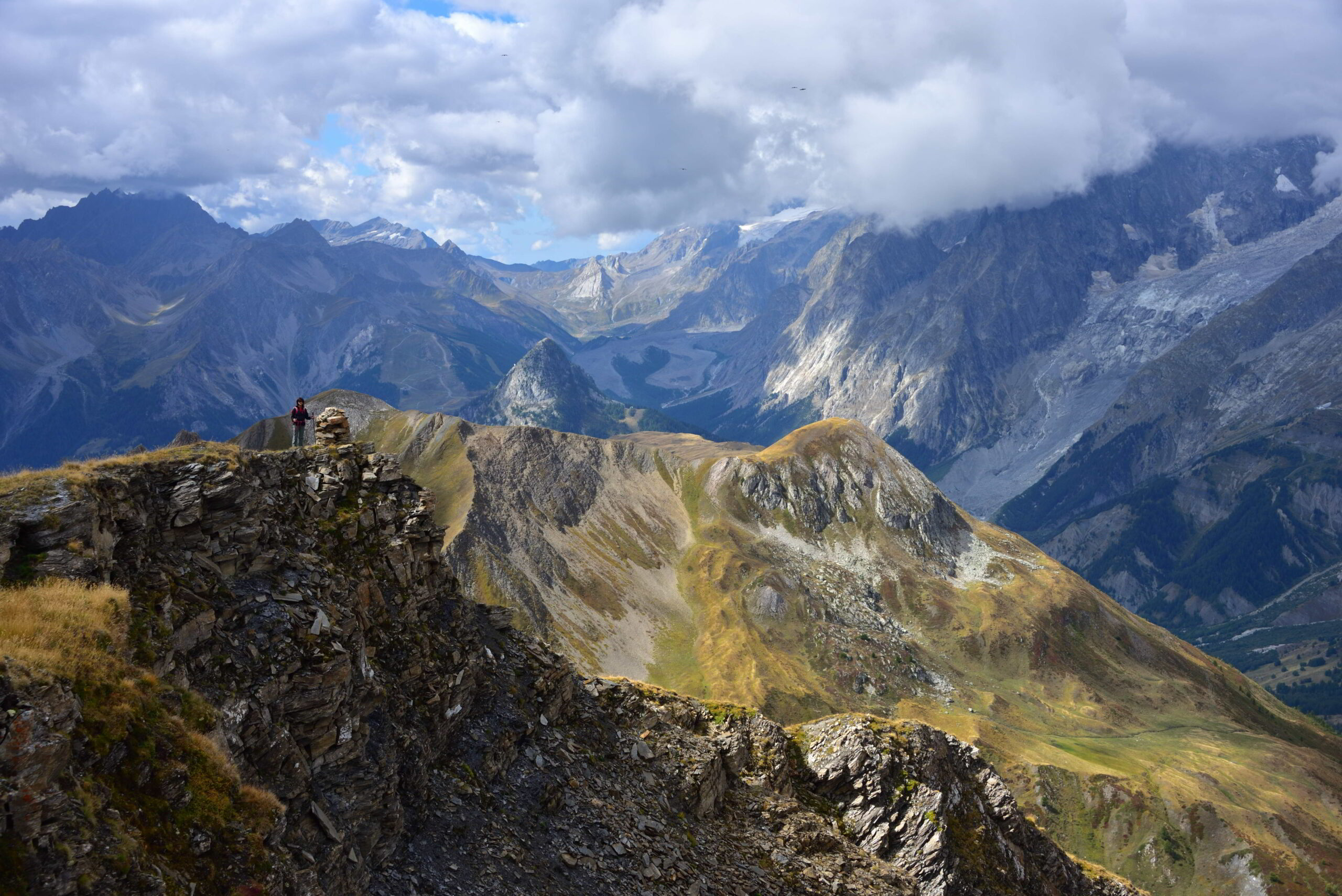
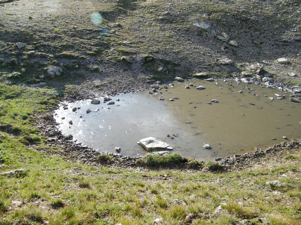
Di qui per salire alla vetta tenere il sentiero che sale sulla dorsale a dx e risalire il pendio sino all’ometto posto sulla cresta della sommità 2729m.
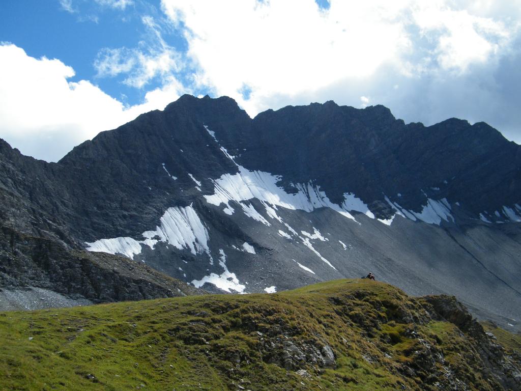
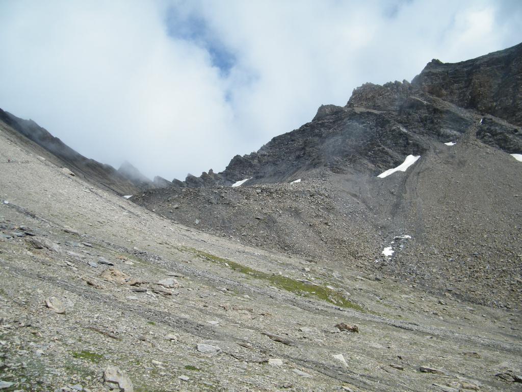
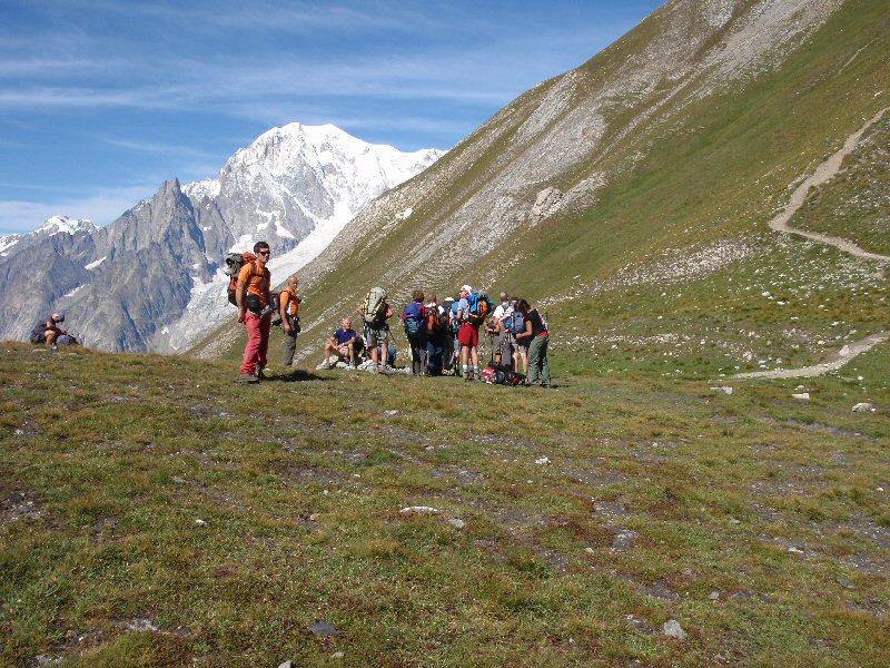
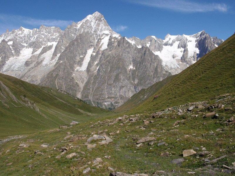
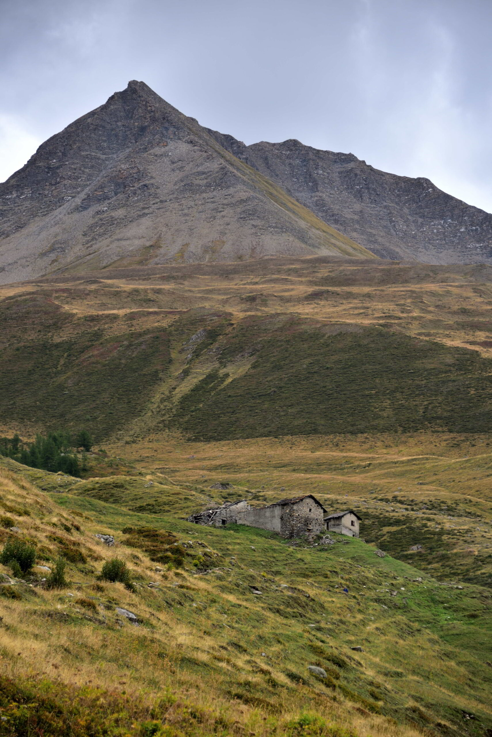
Dopo aver goduto dell’eccezionale panorama su tutta la val Ferret e la catena del Bianco ridiscendere al colle e svoltare a dx, in pratica proseguendo sul sentiero n.42 abbandonato per salire alla vetta. Si prosegue in discesa passando sul lato sx di un piccolo lago a quota 2460m; di li a poco occorre ignorare il poseguemento del sentiero n.42 che mantiene la sx e sale al col Sapin ma occorre proseguire tenendo la dx sul sentiero ora n.29 (che proviene dal colle Battaglione Aosta) che di li a poco incrocia le baite di Tsa de Secheron 2260m si prosegue percorrendo il vallone d’Armina sino a superare sulla dx le baite di Armina 2010m e ignorando il proseguimento del sentiero n.29 che scende direttamente a Praz Sec ma mantenere la dx per il sentiero n.27 che con un lungo traverso panoramico porta a incrociare il sentiero n.42 nei pressi del rifugio Bonatti (richiudendo l’anello) e di qui si ridiscende tenendo la dx (sul tratto di sentiero di salita) al pkg a Lavachey.
- Cartografia:
- Monte Bianco Courmayeur n.1 L’Escursionista Editore
- Bibliografia:
- Le Valli del Monte Bianco n.1 pag. 54 ed: l’Escursionista - Zavatta
Nelle vicinanze Mappa
Itinerari
10/11/2024 AO, Courmayeur D+ 439 m E Nord-Ovest
Bonatti Walter (Rifugio) da Lavachey
 0m
0m
08/08/2016 AO, Courmayeur D+ 1350 m EE Varie
Tronche (Testa della) da Lavachey, anello per Passo Entre Deux Saut e Col Sapin
 50m
50m
19/09/2010 AO, Courmayeur D+ 1090 m E Nord-Ovest
Entre Deux Sauts (Tète) da Lavachey per il Vallone Malatrà
 50m
50m
19/08/2015 AO, Courmayeur D+ 303 m T Nord
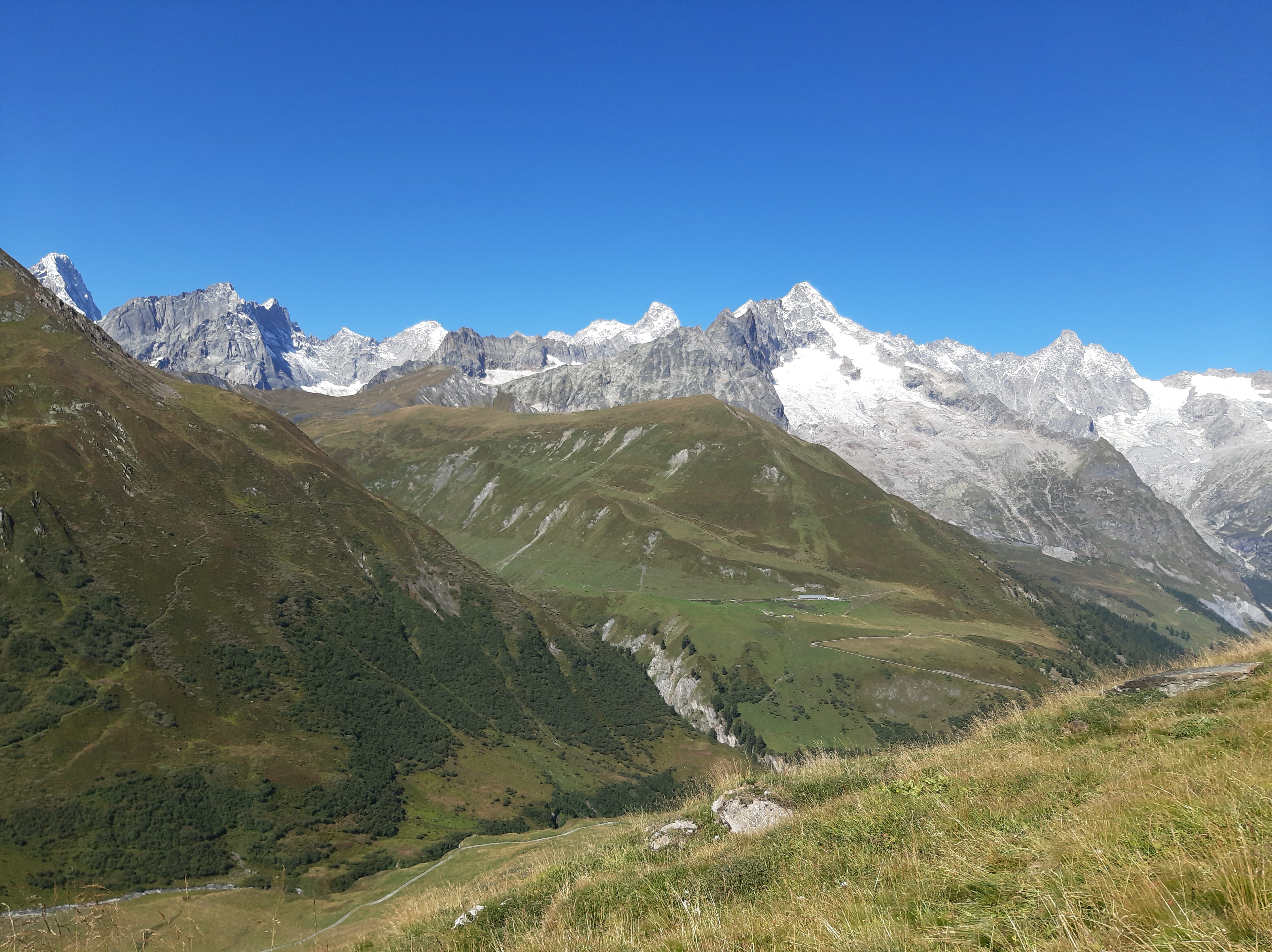
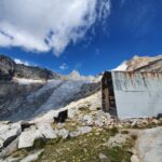
Elena (Rifugio) da Lavachey
 50m
50m
01/10/2021 AO, Courmayeur D+ 1200 m E Nord
Malatrà (Col de) da Lavachey
 50m
50m
21/11/2011 AO, Courmayeur D+ 741 m EE Sud
Petit Ferret (Col du) da Arnouva
3.7Km
02/10/2016 AO, Courmayeur D+ 931 m EE Nord-Ovest
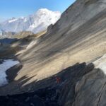
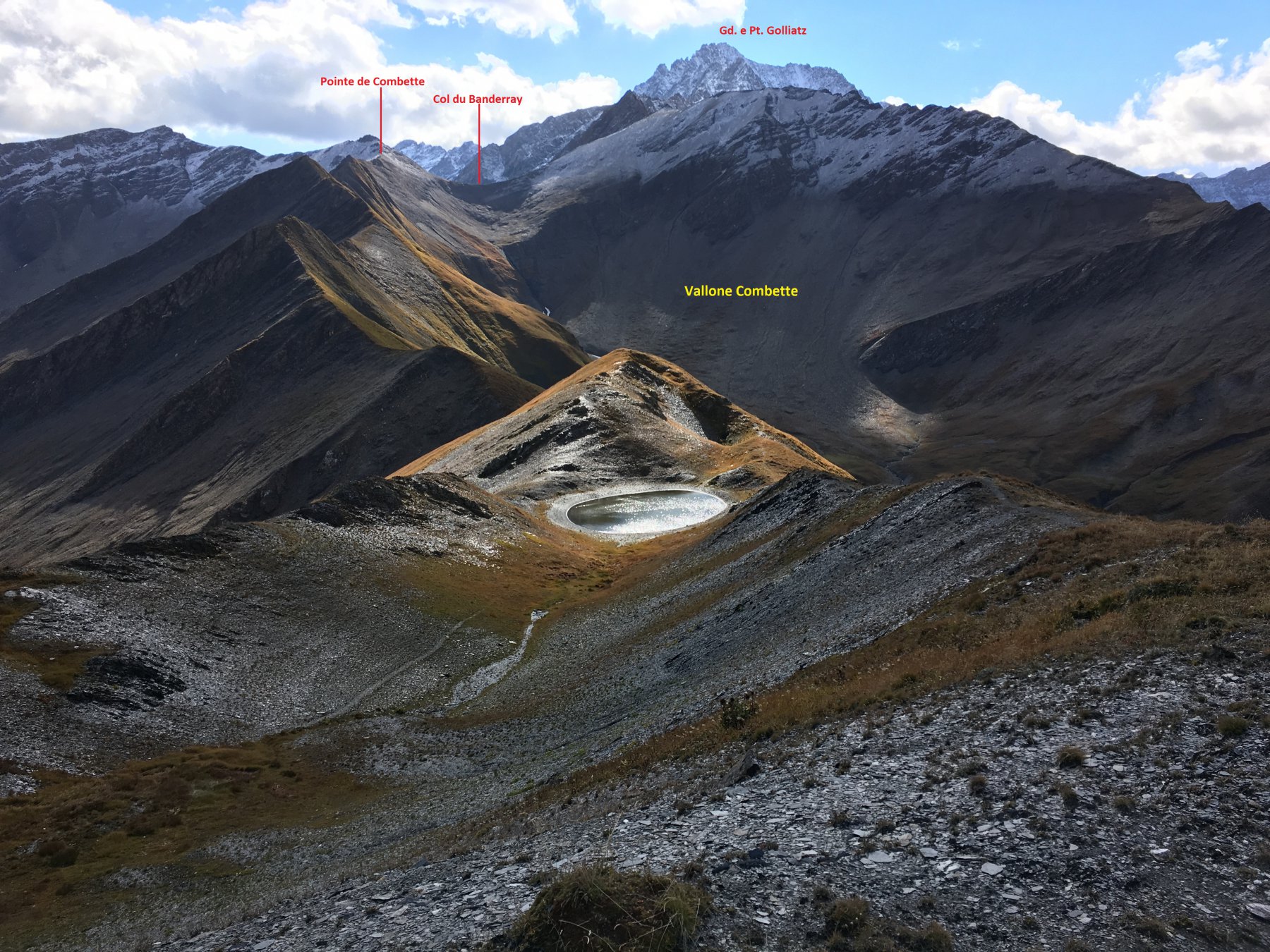
Bandarray (Col du) da Arnouva
 3.7Km
3.7Km
03/09/2025 AO, Courmayeur E Varie
Gran Ferret (Col du) e Col du Petit Ferret da Arnouva, anello
 3.7Km
3.7Km
10/07/2016 AO, Courmayeur D+ 932 m EE Ovest
Bellecombe (Mont de) o Bella Comba da Arnouva
 3.7Km
3.7Km
28/08/2022 AO, Courmayeur D+ 1041 m EE Sud
Fiorio Cesare (Bivacco) da Arnouva
 3.7Km
3.7Km