250m
250m
Note
 0m
50m
50m
50m
50m
3.7Km
3.7Km
3.7Km
3.7Km
0m
50m
50m
50m
50m
3.7Km
3.7Km
3.7Km
3.7Km
Il percorso viene proposto ad anello salendo e scendendo per due diversi itinerari. Evidentemente può essere percorso anche in senso inverso o salendo e scendendo dalla stessa parte.
Il senso indicato prevede una salita più ripida e un ritorno più panoramico.
Avvicinamento
Il senso indicato prevede una salita più ripida e un ritorno più panoramico.
,
Descrizione
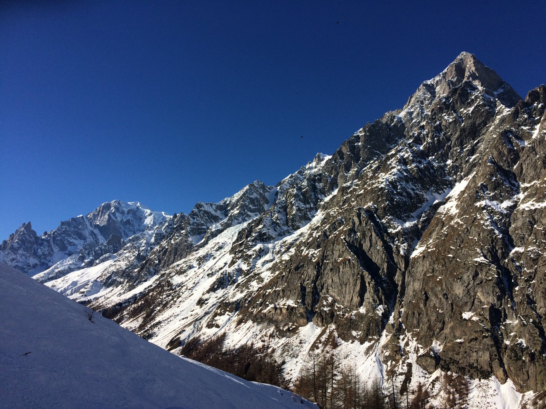
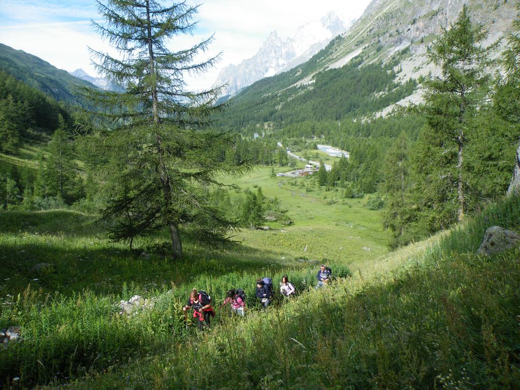
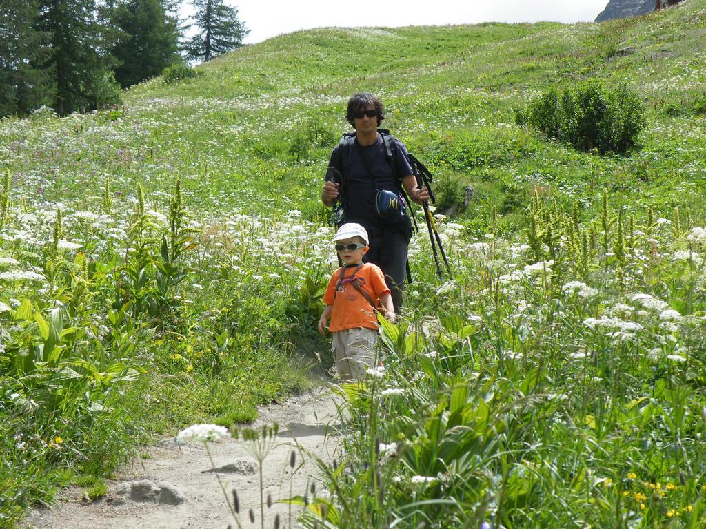
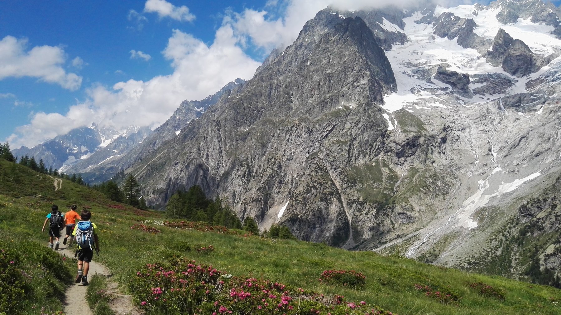
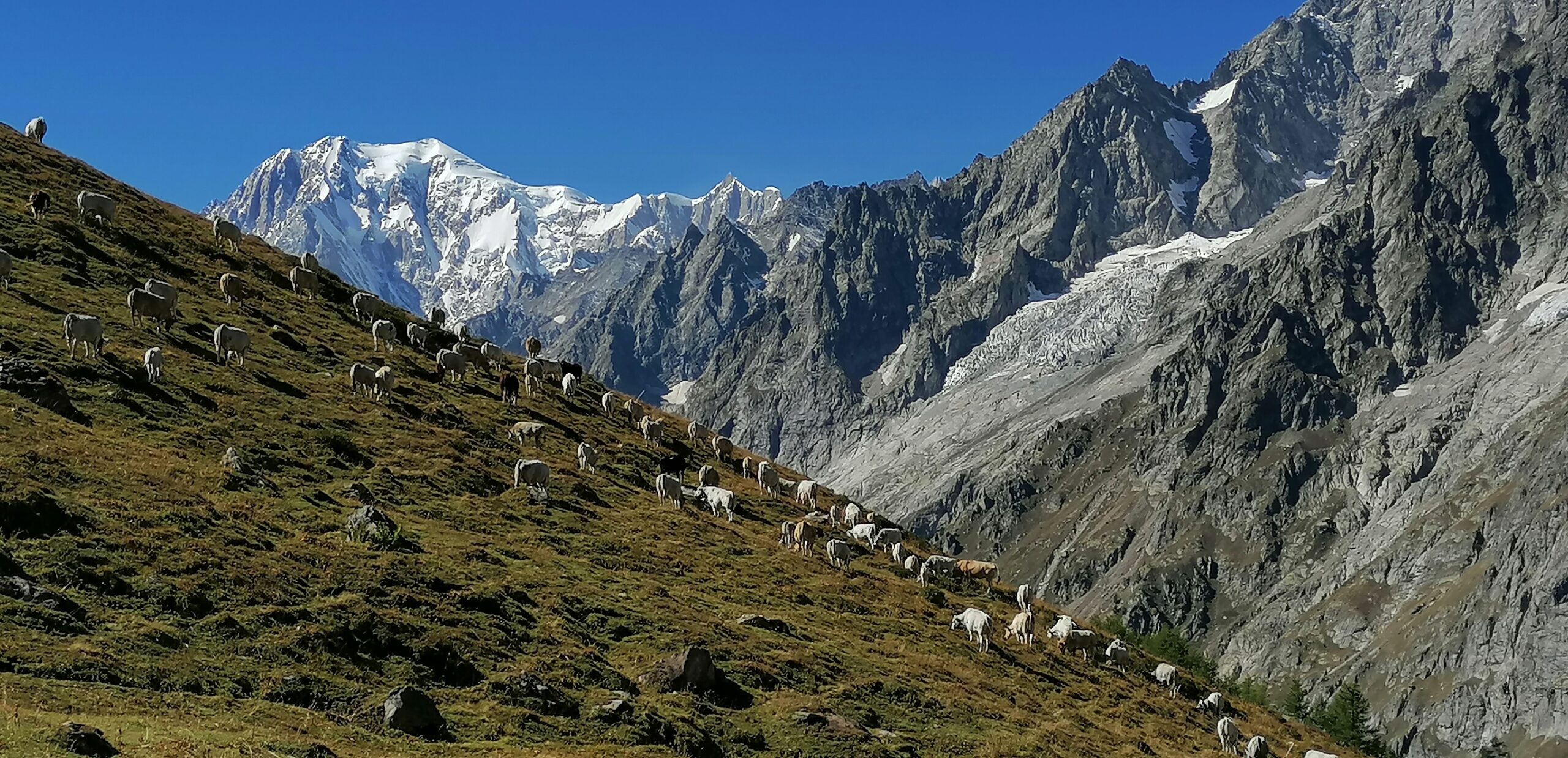
Da La Vachey, dove la strada viene chiusa al traffico nel periodo estivo, ci si incammina sull’asfalto, si superano due tornanti quindi si trova sulla dx l’inizio del sentiero per il rifugio (indicazioni).
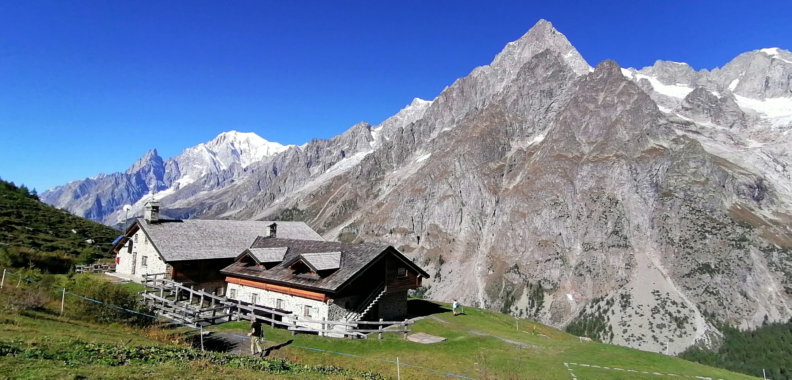
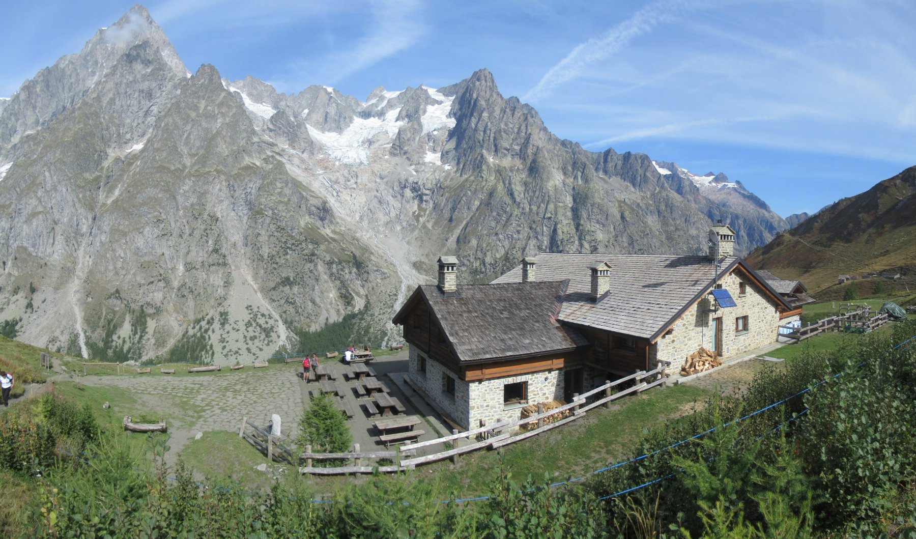
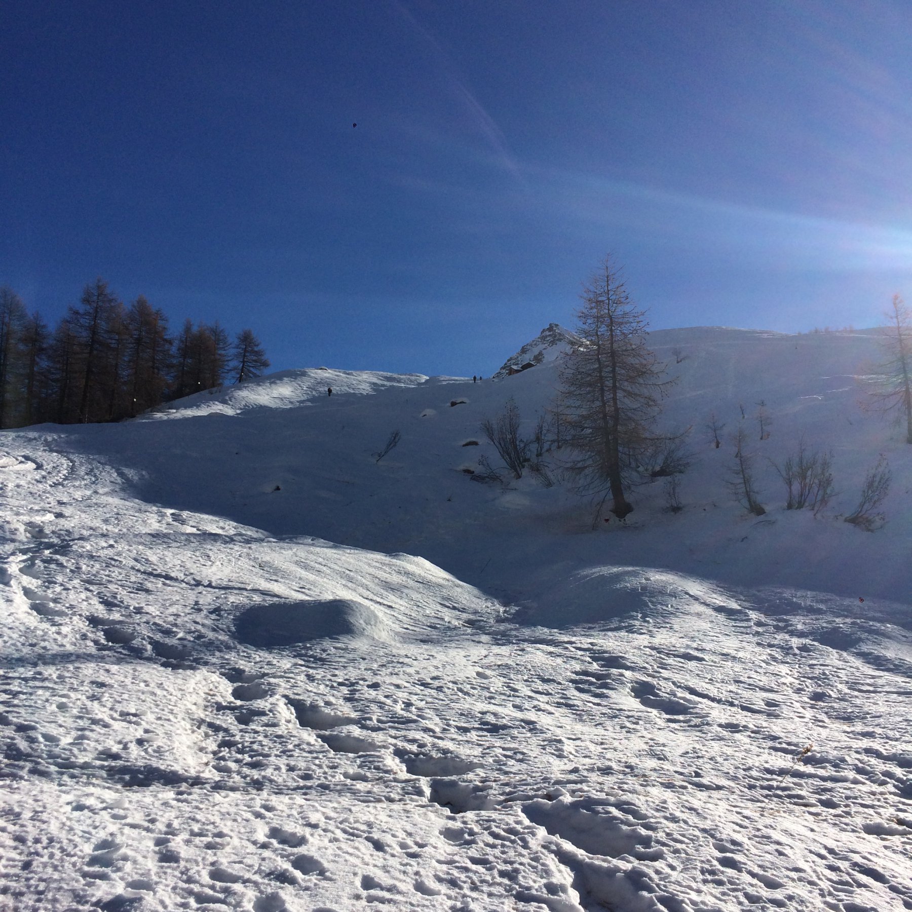
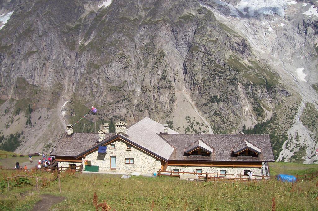
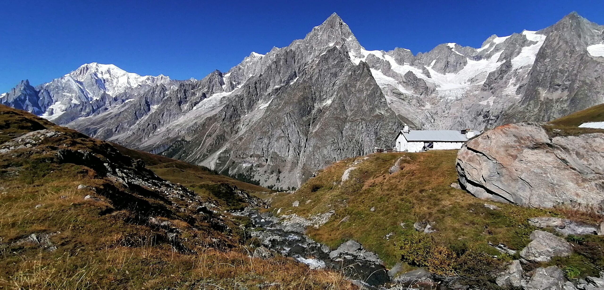
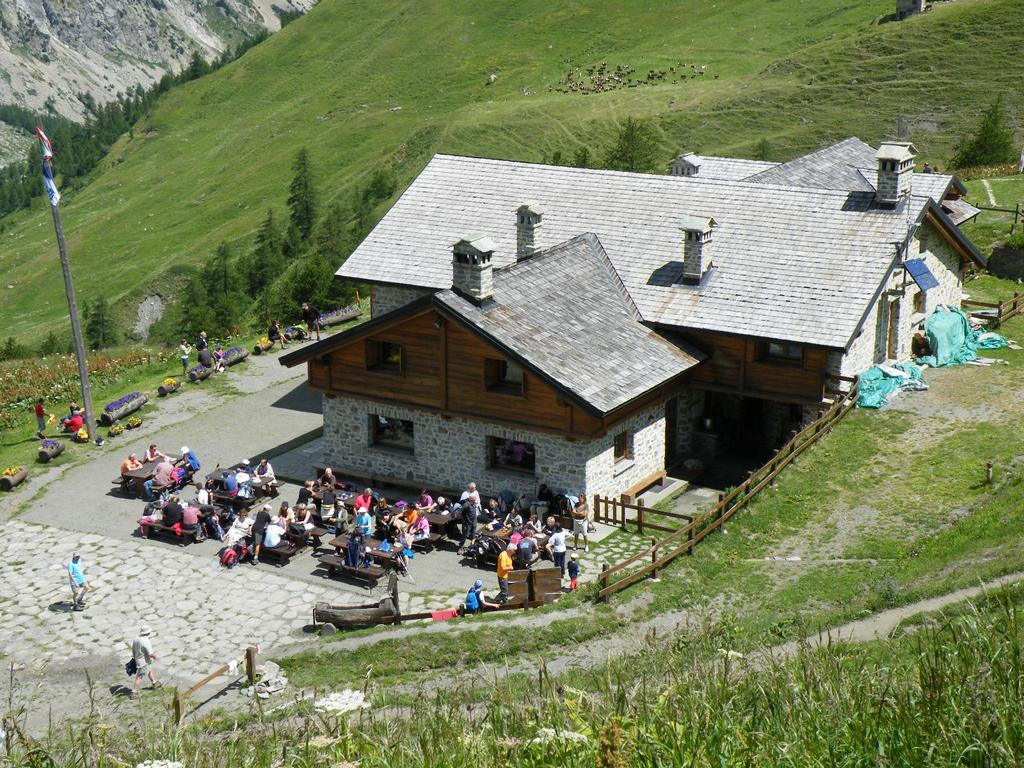
La traccia sale nel bosco a tornanti, raggiungendo un bivio. Seguire il sentiero di sx che con un ultimo tratto su aperti pendii, raggiunge il rifugio.
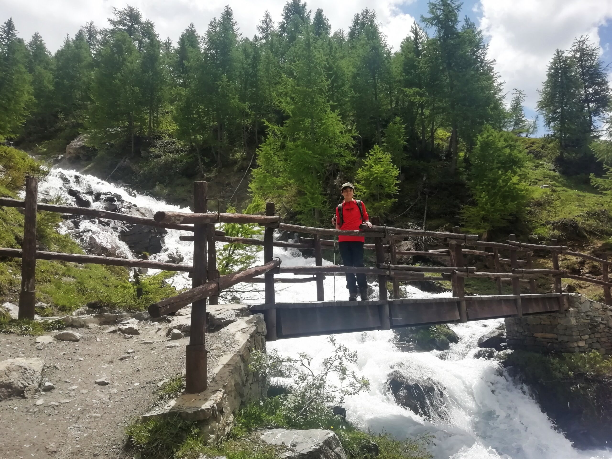
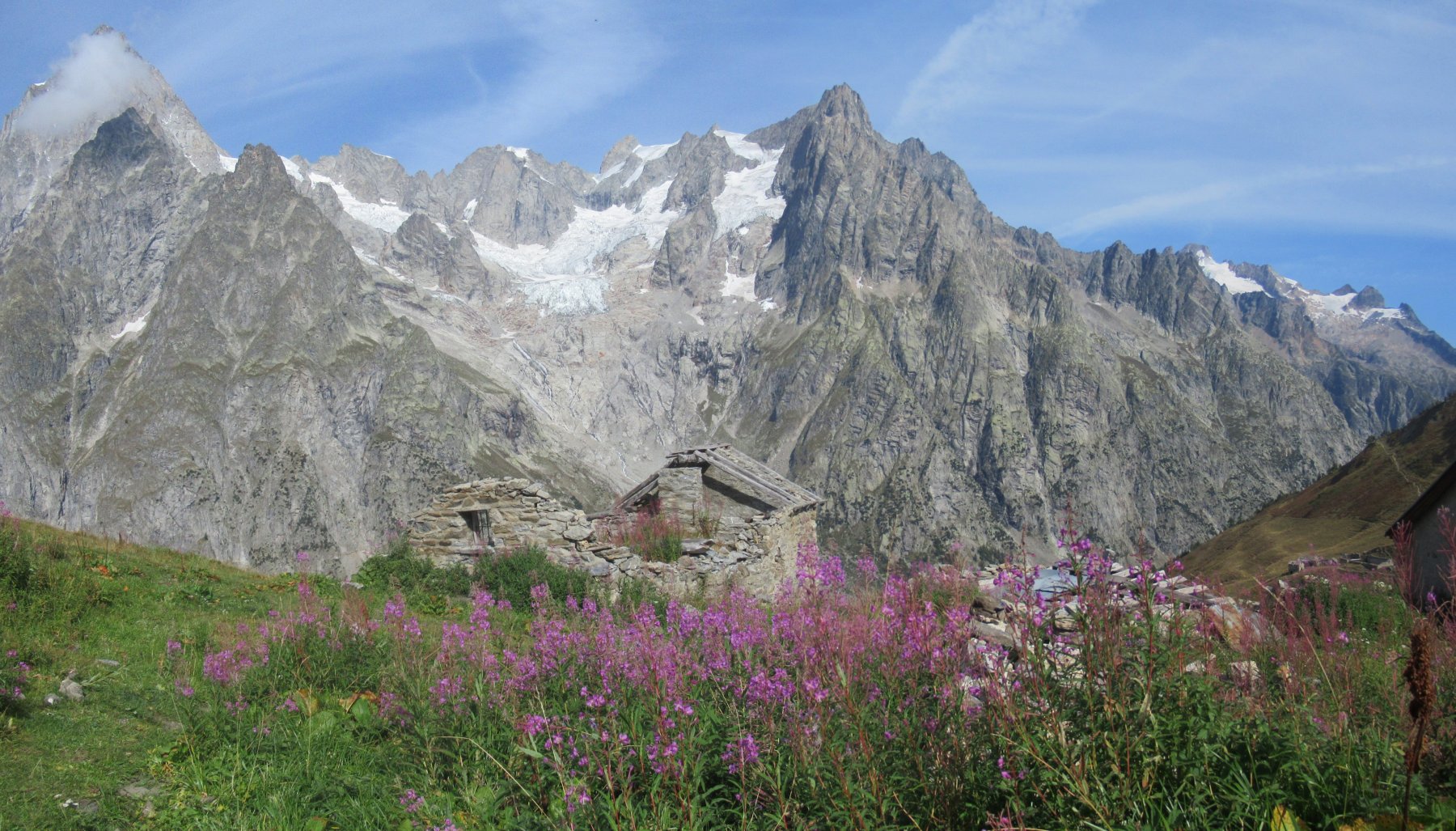
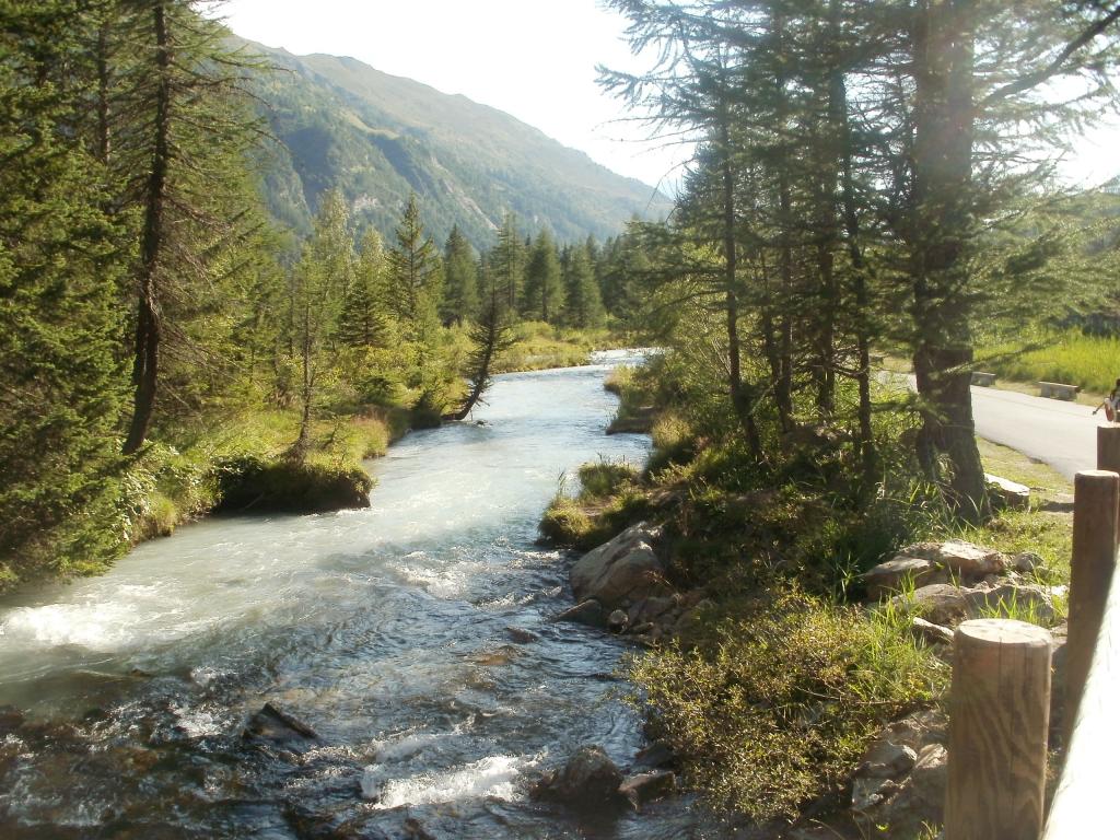
Per la discesa, prendere il sentiero alle spalle del rifugio che sale all’Alpe Malatrà inferiore, quindi scende a mezzacosta scavalcando un paio di torrentelli su passerelle, fino all’Alpe Gioe.
Si prende a sx per la traccia che scende lungo il pendio erboso, quindi, con qualche tornante nel rado bosco, riporta sulla strada di fondovalle a poca distanza dal punto di partenza.
Nelle vicinanze Mappa
Itinerari
04/09/2022 AO, Courmayeur D+ 1050 m E Varie
Entre Deux Sauts (Tète) da Lavachey, anello
 0m
0m
08/08/2016 AO, Courmayeur D+ 1350 m EE Varie
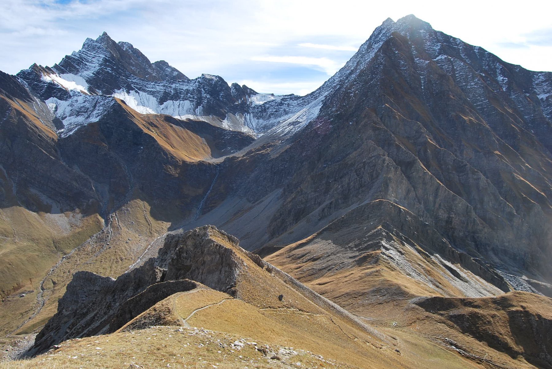
Tronche (Testa della) da Lavachey, anello per Passo Entre Deux Saut e Col Sapin
 50m
50m
19/09/2010 AO, Courmayeur D+ 1090 m E Nord-Ovest
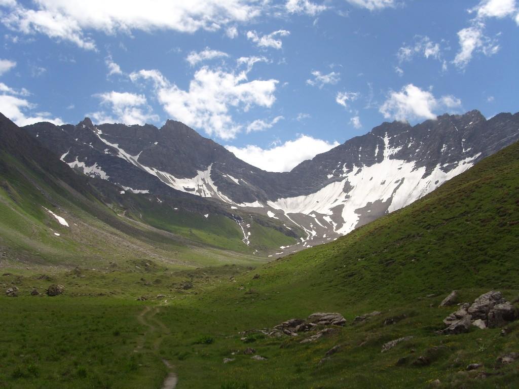
Entre Deux Sauts (Tète) da Lavachey per il Vallone Malatrà
 50m
50m
19/08/2015 AO, Courmayeur D+ 303 m T Nord
Elena (Rifugio) da Lavachey
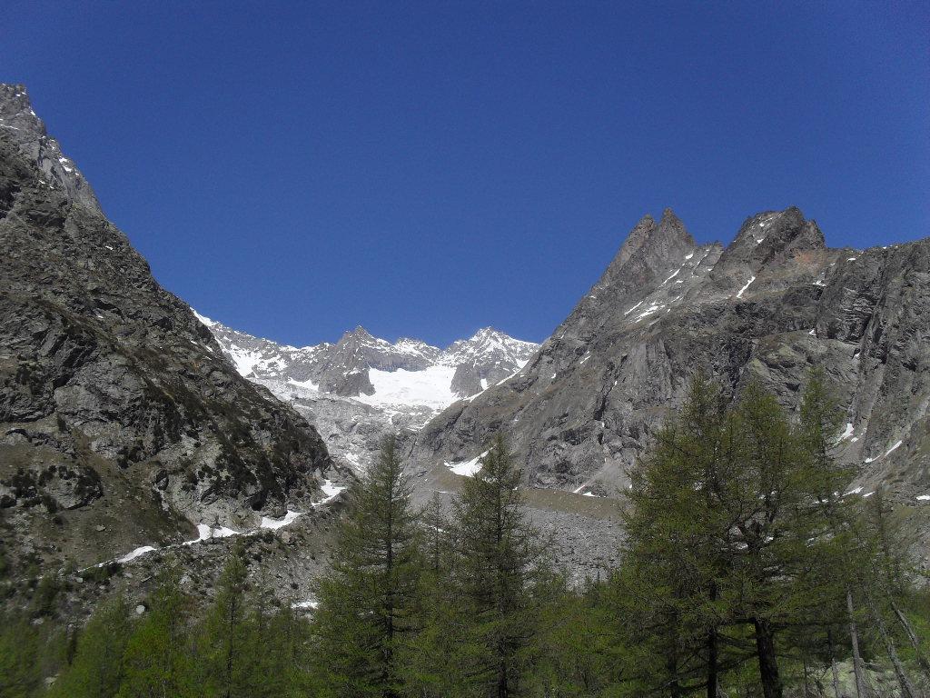 50m
50m
01/10/2021 AO, Courmayeur D+ 1200 m E Nord
Malatrà (Col de) da Lavachey
 50m
50m
02/10/2016 AO, Courmayeur D+ 931 m EE Nord-Ovest
Bandarray (Col du) da Arnouva
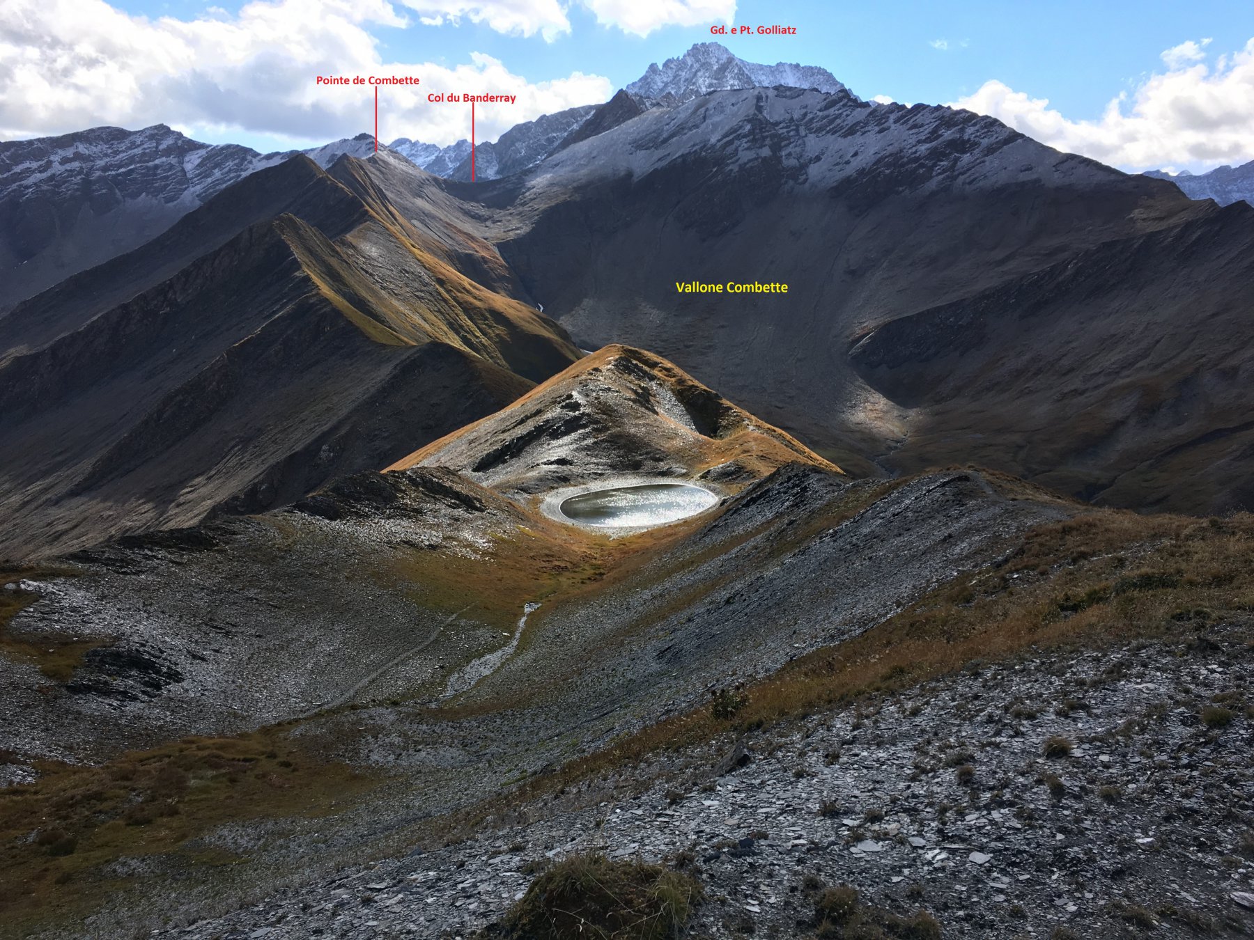 3.7Km
3.7Km
03/09/2025 AO, Courmayeur E Varie
Gran Ferret (Col du) e Col du Petit Ferret da Arnouva, anello
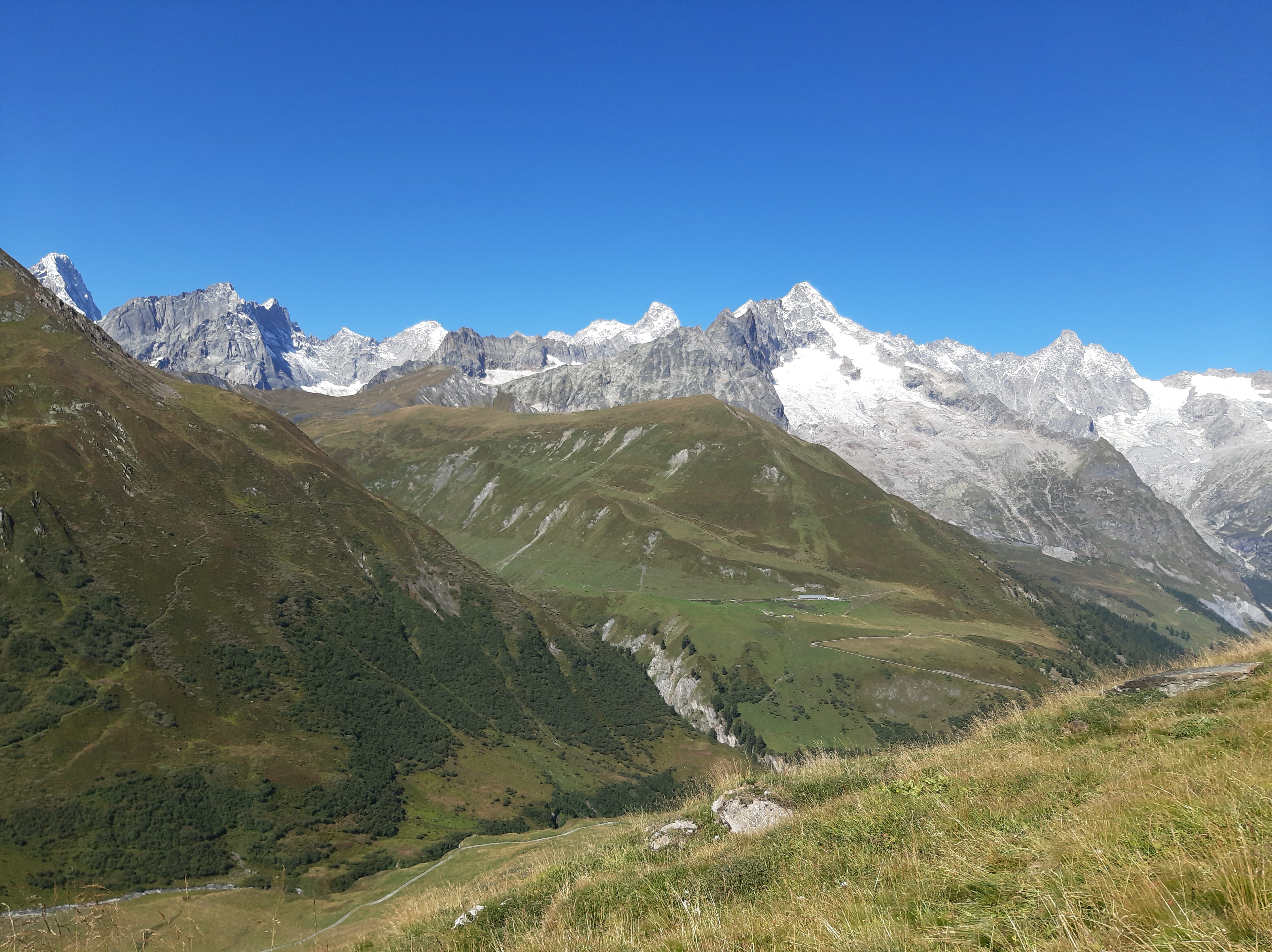 3.7Km
3.7Km
21/11/2011 AO, Courmayeur D+ 741 m EE Sud
Petit Ferret (Col du) da Arnouva
3.7Km
21/08/2016 AO, Courmayeur D+ 1125 m EEA Varie
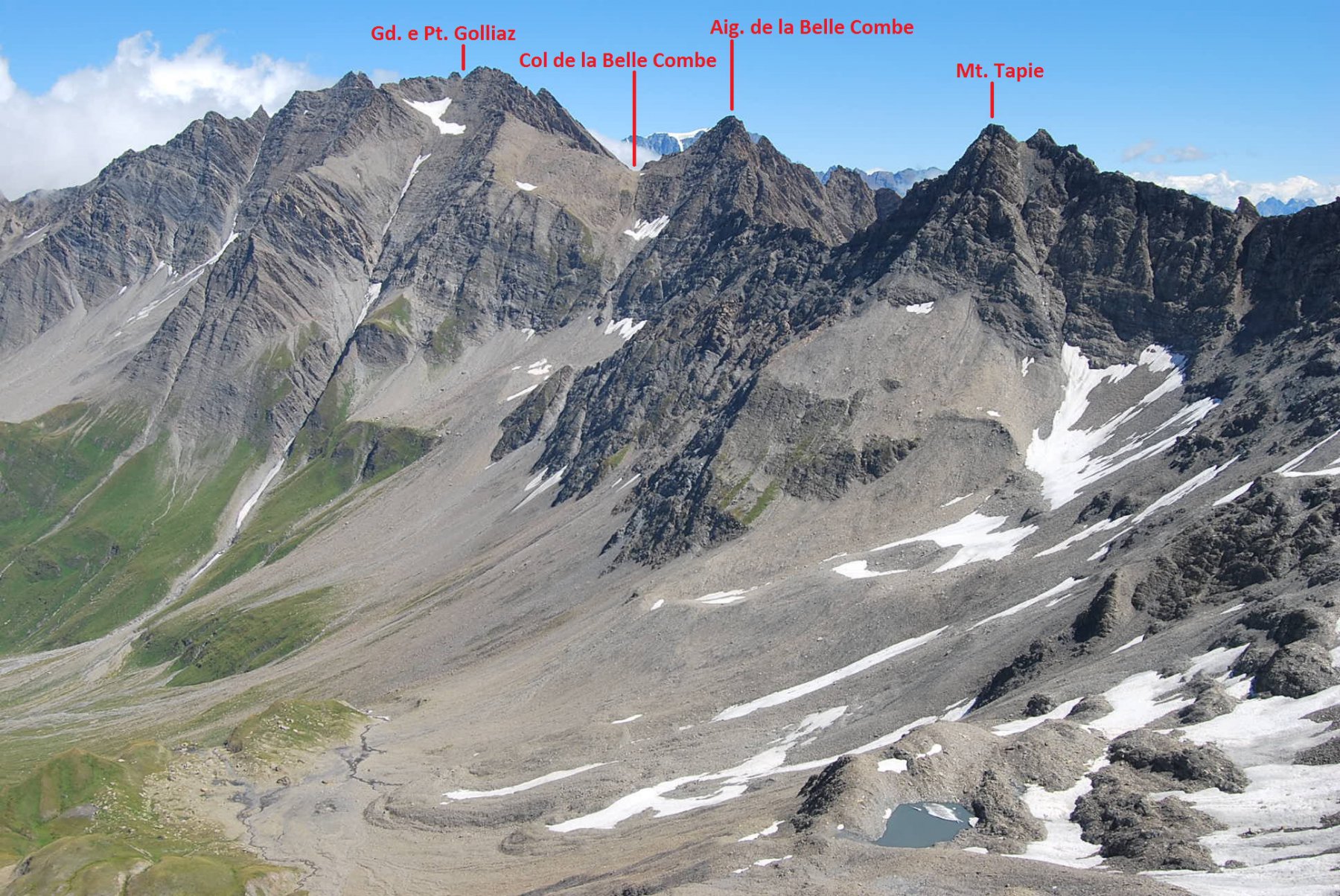
Bellecombe (Vallone) e quota 2890 m da Arnouva, traversata per Vallone Malatrà
 3.7Km
3.7Km
08/07/2011 AO, Courmayeur D+ 1233 m EE Tutte
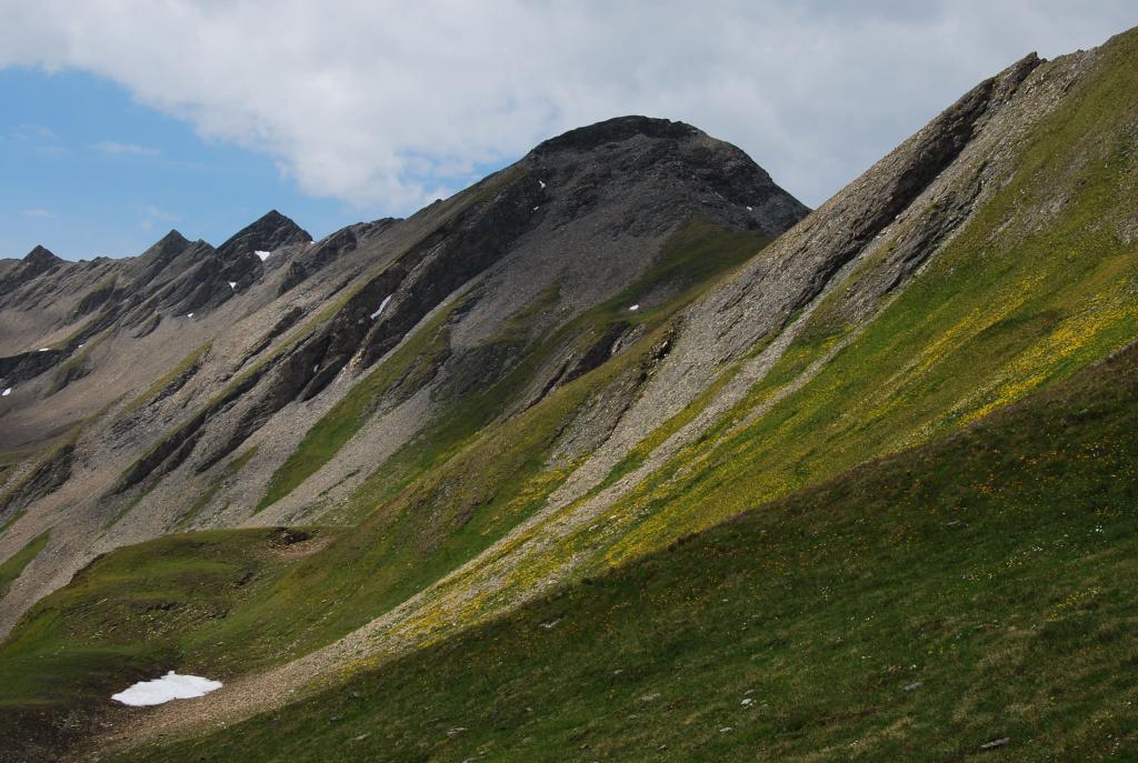
Chéarfière (Monte) da Arnouvaz, anello per Lavachey
 3.7Km
3.7Km