 450m
450m
Note
Storico
 50m
50m
300m
1.7Km
2Km
2.3Km
2.4Km
2.8Km
3.6Km
50m
50m
300m
1.7Km
2Km
2.3Km
2.4Km
2.8Km
3.6Km
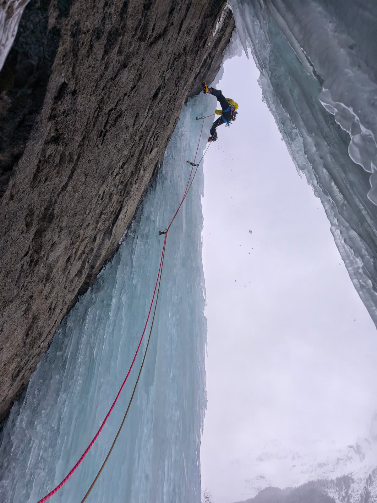
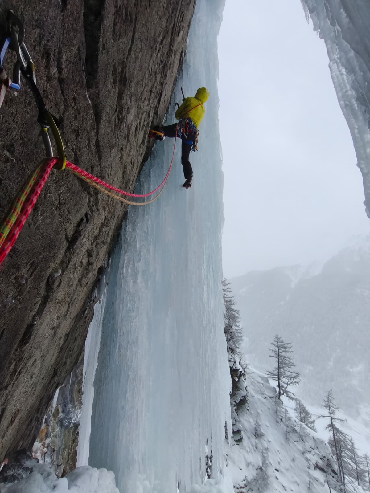
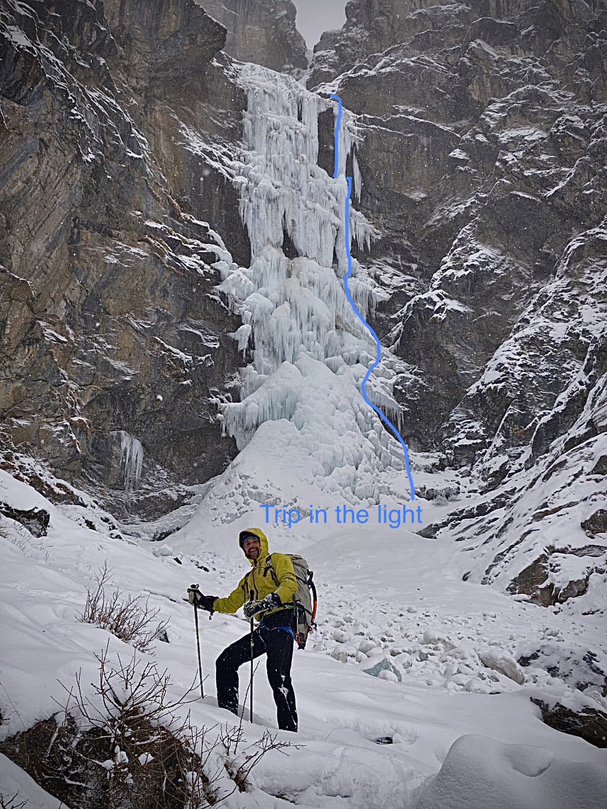
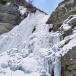
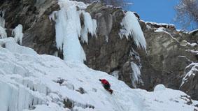
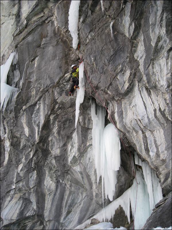
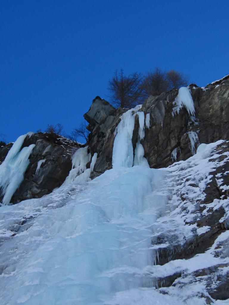
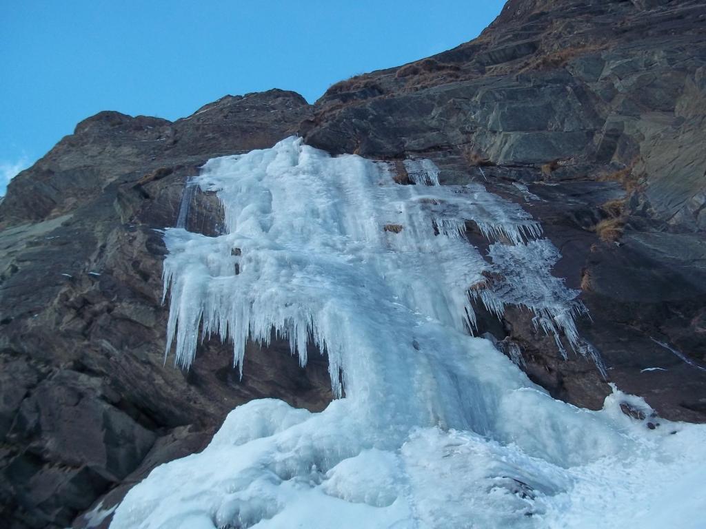
Estetica variante del percorso classico di Trip in the night. Si tratta della colonna a 95 che a volte si forma in alto a destra del muro principale.
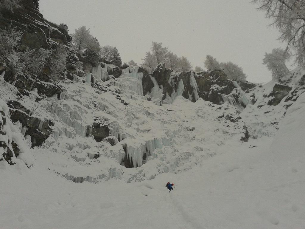
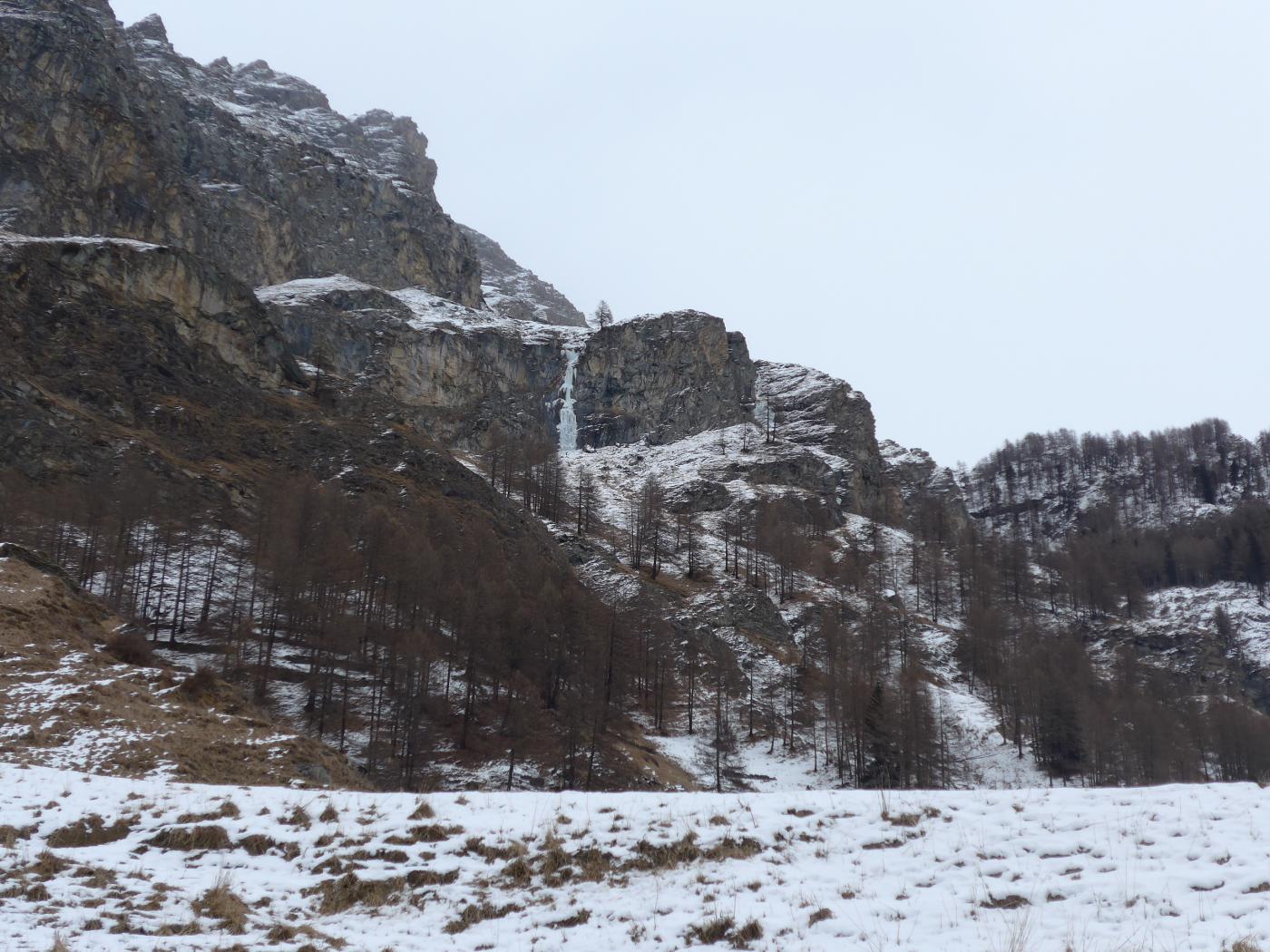
Avvicinamento
Partenza dal Cimitero di Dejoz.
Descrizione
Salire Trip in the night sul percorso che attacca da destra, sostare alla base della colonna e salirla dal lato in cui meglio si presta in base alla formazione ed alle condizioni del momento. 30m, Wi 6
F. Damilano, M. Girod e G. Perroux 1997
- Bibliografia:
- Effimeri Barbagli cascate di ghiaccio in Valle d’Aosta
Nelle vicinanze Mappa
Itinerari
09/01/2026 AO, Valsavarenche 90 m III, 6, M7 Sud-Ovest
Valsavarenche – Le Fantôme du Bricolage (Cascata)
0m
07/02/2026 AO, Valsavarenche 200 m III, 5+ Varie
Valsavarenche – Trip in the Night (Cascata)
 50m
50m
01/03/2026 AO, Valsavarenche 150 m II, 3+ Ovest
Valsavarenche – Rovenaud (Cascata di)
 50m
50m
26/12/2010 AO, Valsavarenche 100 m II, 4+ Ovest
Valsavarenche – Il Fantasma di Ghiaccio (Cascata)
 300m
300m
13/02/2019 AO, Valsavarenche 90 m II, 4 Ovest
Valsavarenche – Rovenaud (Placche di, Cascata)
 1.7Km
1.7Km
08/02/2026 AO, Valsavarenche 70 m III, 4+ Ovest
Valsavarenche – Chemin des Tamboures (Cascata)
 2Km
2Km
24/02/2009 AO, Introd 20 m II, 7 Nord
Valsavarenche – Les Comperes (Cascata)
 2.3Km
2.3Km
08/01/2011 AO, Introd 70 m II, 5+ Ovest
Valsavarenche – Mikado (Cascata)
 2.4Km
2.4Km
26/01/2017 AO, Valsavarenche 350 m IV, 3+ Est
Valsavarenche – Follies (Couloir des)
 2.8Km
2.8Km
25/02/2026 AO, Valsavarenche 25 m I, 4 Nord
Valsavarenche – Eaux Rousses (Falesia di ghiaccio)
 3.6Km
3.6Km