3.3Km
3.3Km

Avvicinamento
 50m
50m
2.6Km
2.6Km
2.6Km
2.6Km
2.6Km
3Km
3.3Km
3.3Km
50m
50m
2.6Km
2.6Km
2.6Km
2.6Km
2.6Km
3Km
3.3Km
3.3Km
.
Descrizione
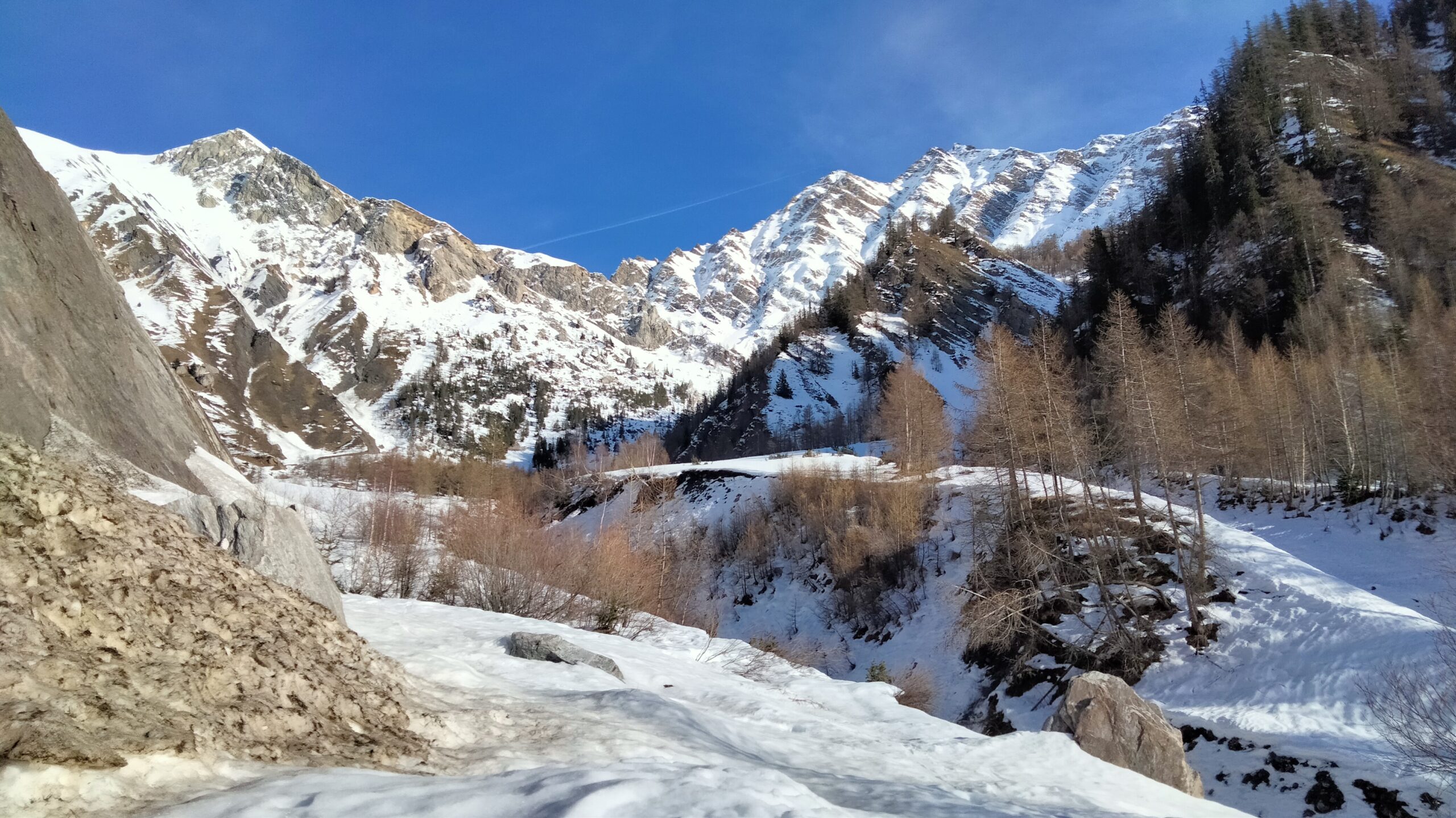
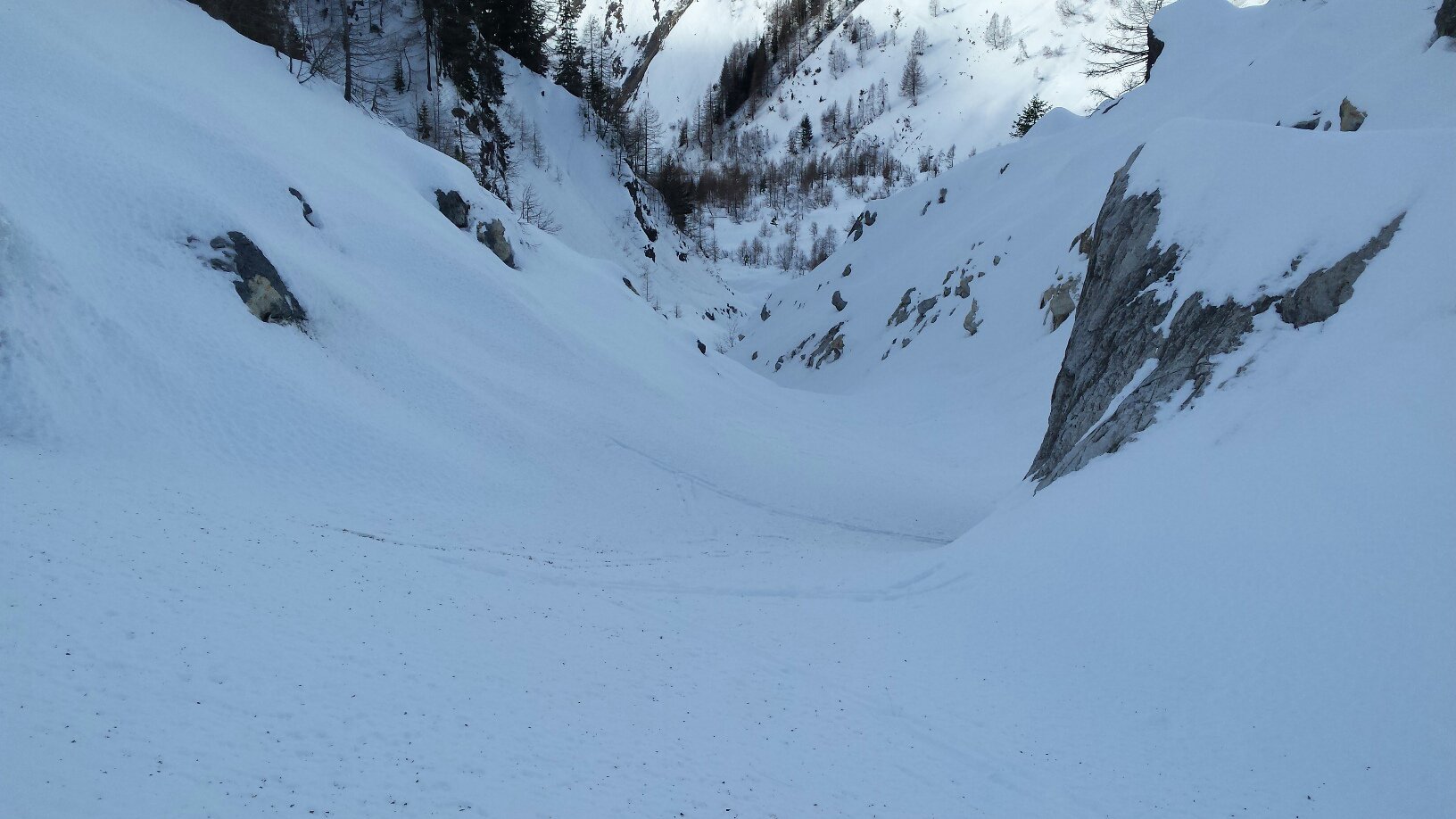
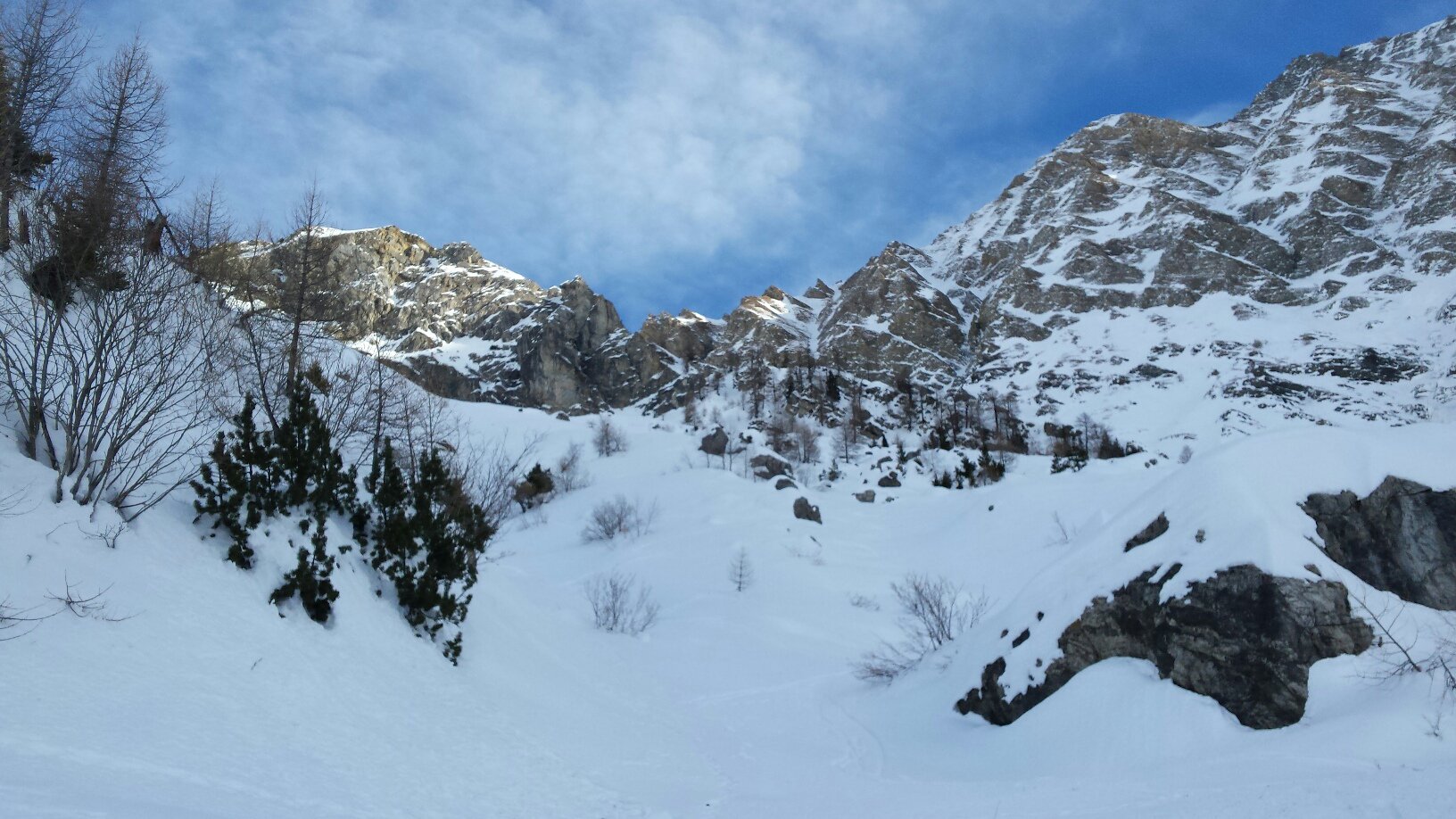
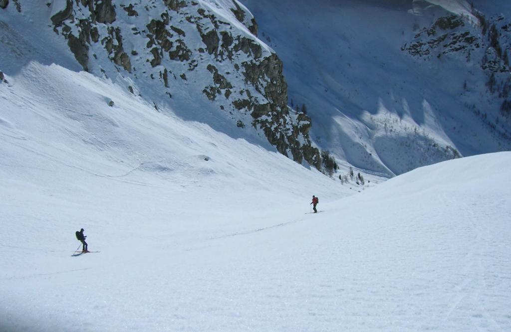
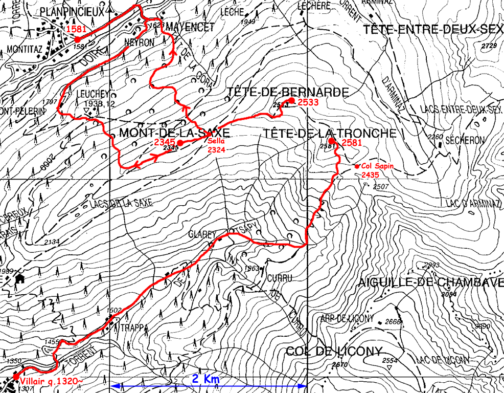
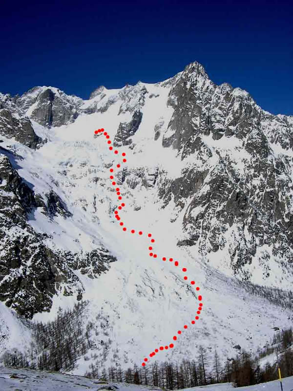
Dalla frazione Villair Dessus continuare per la strada che attraversa la frazione e raggiungere la fraz Trappe nel vallone di Sapin. Proseguire nella stretta valle verso la testata con percorso meno obbligato fino ad imboccare a destra un valloncello/canale che sale verso E.
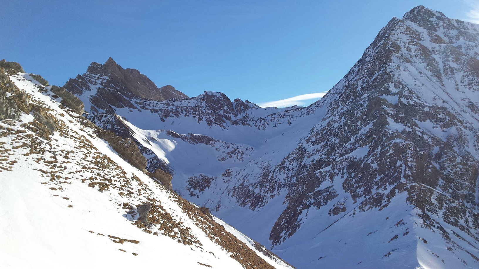
Esiste un’indicazione del sentiero estivo, prima del canale di salita, che va tralasciata. Raggiunta la quota 1936 CTR volgere a sinistra in direzione NE e su pendii sostenuti raggiungere la zona sottostante il colle di Sapin. Deviare a sinistra e percorrere il pendio finale fino alla vetta ormai ben visibile sci ai piedi. In salita è possibile percorrere un pendio canale parallelo sulla destra che conduce direttamente al Colle di Sapin e di qui alla vetta ricongiungendosi all’itinerario che sale da sinistra.
- Bibliografia:
- P.Giglio, E. Noussan. Zanichelli. Sci-Alpinismo in Val d’Aosta. N°9
Nelle vicinanze Mappa
Itinerari
30/01/2011 AO, Courmayeur D+ 1200 m BS Sud-Est
Bernarda (Testa) da Villair
 50m
50m
30/12/2025 AO, Courmayeur D+ 1630 m OSA Nord-Ovest
Liconi (Testa di) da Villair per la Val Sapin
 50m
50m
23/01/2020 AO, Courmayeur D+ 1145 m BS Varie
Chetif (Mont) da Dolonne
 2.6Km
2.6Km
19/03/2025 AO, Courmayeur D+ 1840 m OS Tutte
Nix (Mont) da Dolonne, anello vallone d’Arp e Val Veny
 2.6Km
2.6Km
05/11/2016 AO, Courmayeur D+ 1430 m MS Nord
Youla (Testa dello) da Dolonne
 2.6Km
2.6Km
21/01/2020 AO, Courmayeur D+ 930 m BS Nord-Est
Brisé (Mont) da Dolonne, anello vallone d’Arp e canale di Dolonne
 2.6Km
2.6Km
09/01/2021 AO, Courmayeur D+ 1341 m MS Nord-Est
Arp (Col d’) da Dolonne
 2.6Km
2.6Km
13/12/2018 AO, Courmayeur D+ 725 m MS Nord
Bonatti Walter (Rifugio) da La Palud
 3Km
3Km
20/04/2026 AO, Courmayeur D+ 1150 m BS Nord-Ovest
Entre Deux Sauts (Tète) da Planpincieux, giro dei Valloni Malatrà e Armina
 3.3Km
3.3Km
13/03/2005 AO, Courmayeur D+ 1260 m OS, PD Sud
Gervasutti Giusto (Bivacco) da Planpincieux
 3.3Km
3.3Km