1.2Km
1.2Km
Avvicinamento
 2.5Km
2.5Km
2.5Km
2.5Km
2.5Km
2.5Km
2.6Km
2.6Km
2.6Km
2.6Km
2.5Km
2.5Km
2.5Km
2.5Km
2.5Km
2.5Km
2.6Km
2.6Km
2.6Km
2.6Km
-
Descrizione
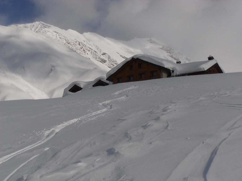
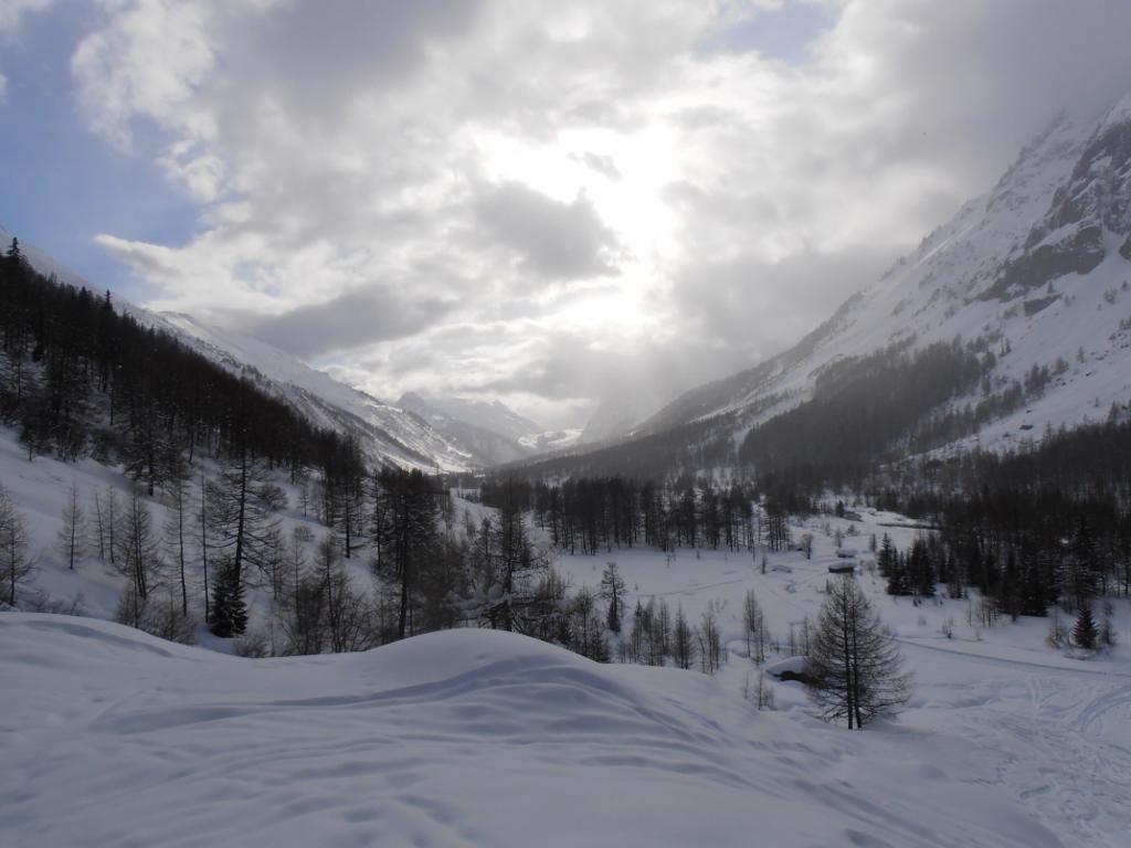
Dal parcheggio adiacente la sbarra di accesso alla Val Ferret,si percorre la strada fino a Planpicieux e Lavachey utilizzando la pista battuta pedonale.
Da qui si intercetta il sentiero estivo che conduce al rifugio e in un’ora circa vi si arriva.
- Cartografia:
- L'Escursionista n.1 - Monte Bianco, Courmayeur 1/25.000
Nelle vicinanze Mappa
Itinerari
20/04/2026 AO, Courmayeur D+ 1150 m BS Nord-Ovest
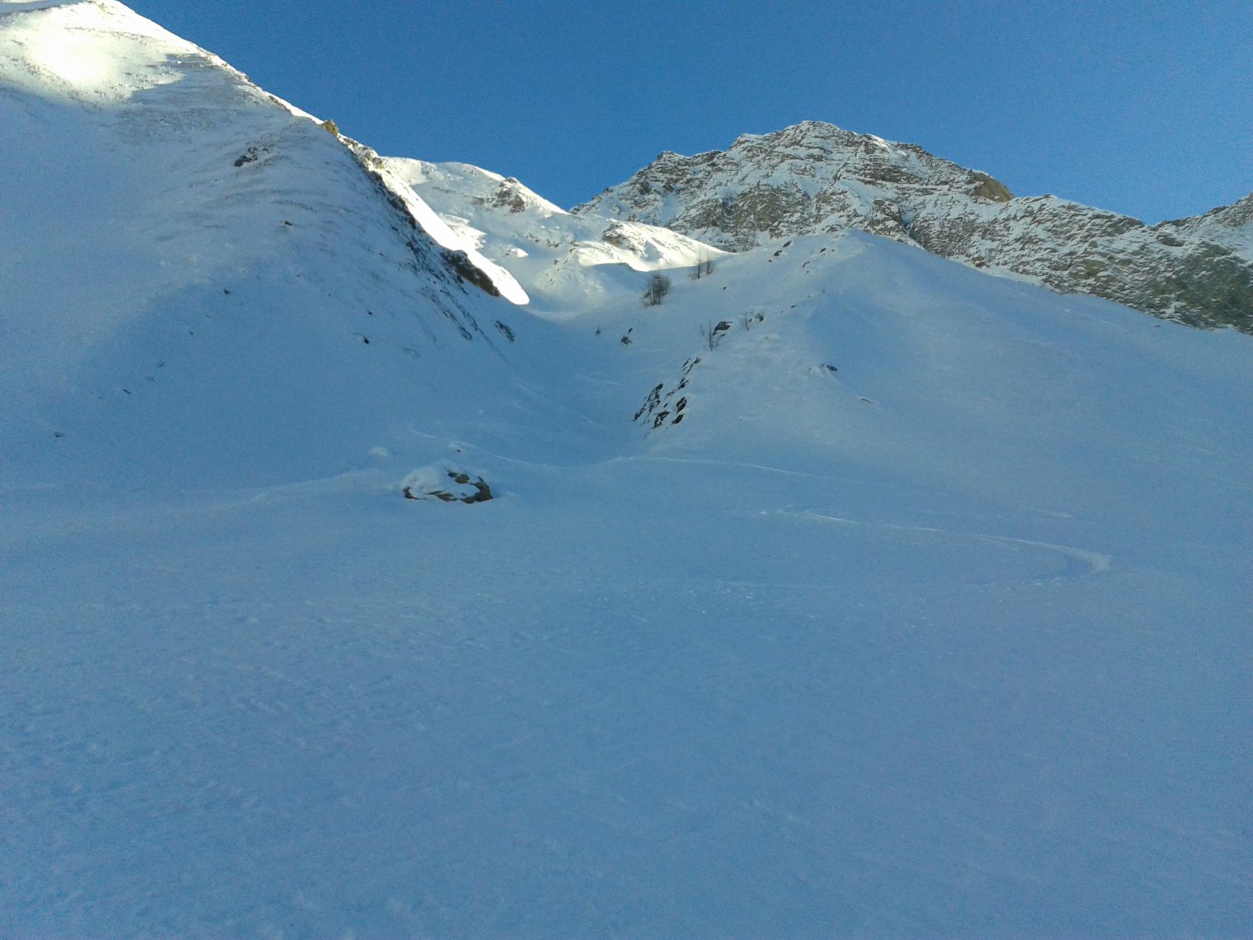
Entre Deux Sauts (Tète) da Planpincieux, giro dei Valloni Malatrà e Armina
 2.5Km
2.5Km
13/03/2005 AO, Courmayeur D+ 1260 m OS, PD Sud
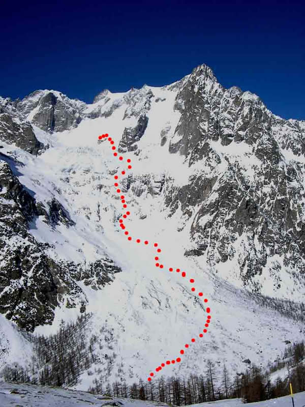
Gervasutti Giusto (Bivacco) da Planpincieux
 2.5Km
2.5Km
02/01/2026 AO, Courmayeur D+ 975 m BS Nord-Ovest
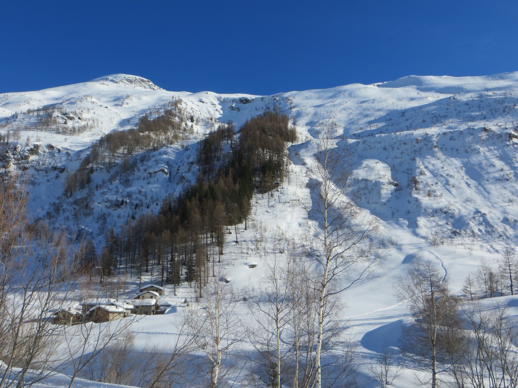
Bernarda (Testa) da Plampincieux
 2.5Km
2.5Km
18/01/2022 AO, Courmayeur D+ 1000 m MS Nord-Ovest
Tronche (Testa della) e Testa Bernarda da Planpincieux per il Vallone di Arminaz
 2.5Km
2.5Km
27/05/2021 AO, Courmayeur D+ 1300 m OSA, F Nord
Battaglione Aosta (Colle) da Planpincieux
 2.5Km
2.5Km
17/02/2024 AO, Courmayeur D+ 1240 m BSA, F Nord-Ovest
Chéarfière (Mont) da Planpincieux
 2.5Km
2.5Km
27/05/2021 AO, Courmayeur D+ 1200 m OSA, F Nord
Chambave (Colle di) da Planpincieux
 2.6Km
2.6Km
12/12/2015 AO, Courmayeur D+ 1120 m BSA Ovest
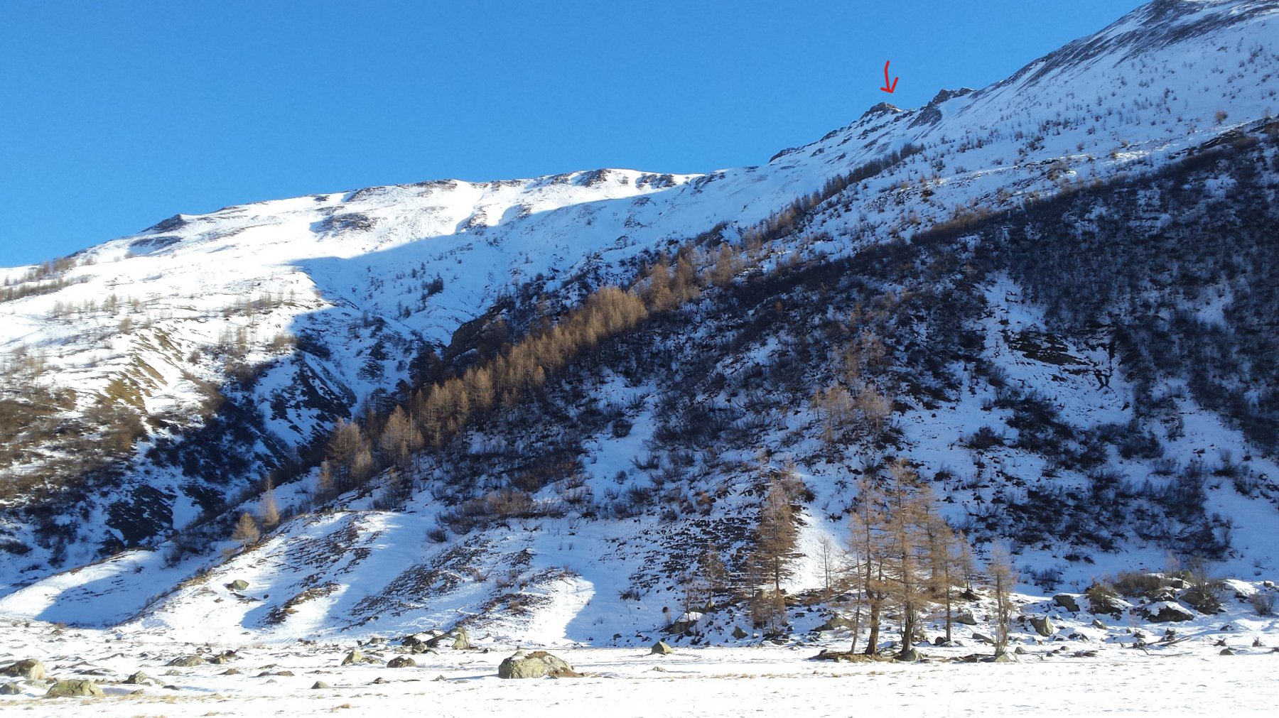
Bellecombe (Mont) o Bella Comba da Planpincieux
 2.6Km
2.6Km
27/05/2021 AO, Courmayeur D+ 1200 m OSA, F Varie
Curru (Tête du), anticima nord da Planpincieux
 2.6Km
2.6Km
11/05/2013 AO, Courmayeur D+ 2005 m OSA Sud-Ovest
Greuvetta o Gruetta (Mont) da Planpincieux
 2.6Km
2.6Km