 600m
600m
Note
 0m
350m
2.7Km
3.4Km
3.7Km
5.5Km
5.5Km
0m
350m
2.7Km
3.4Km
3.7Km
5.5Km
5.5Km
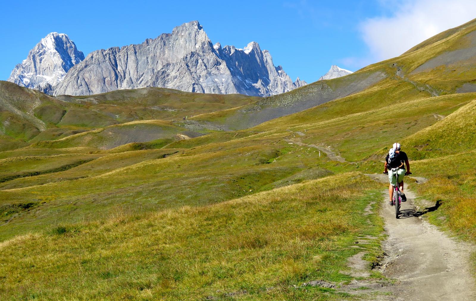
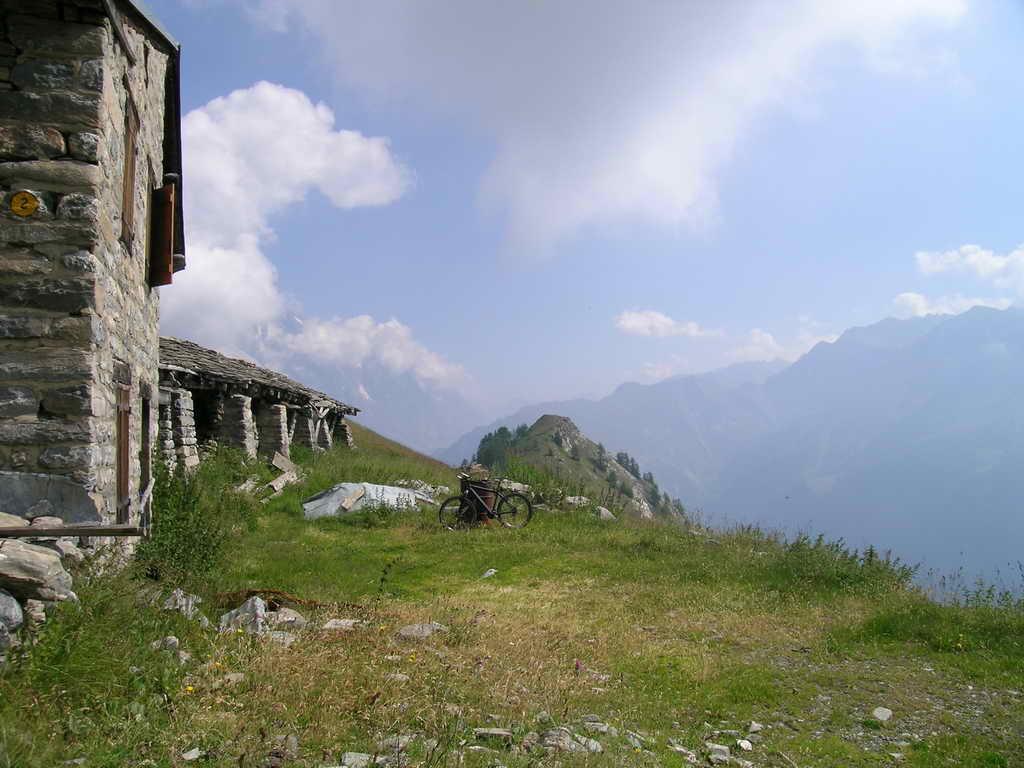
Questa proposta si sviluppa in 5 tappe, attraverso 3 Nazioni, Italia – Svizzera – Francia, lungo 5 grandi vallate principali, con sviluppi altimetrici abbastanza significativi, dove ad una buona tecnica di discesa, necessita una perfetta preparazione fisica. Indispensabile, una bike in perfette condizioni - accessori per la riparazione - indumenti e ricambi di vestiario adatti all’alta quota. Alla fine di ogni tappa, ottime possibilità di un alloggio presso alberghi e gli accoglienti rifugi –alberghetti chiamati (Gìtes d’ètape).
Periodo consigliato – da metà Giugno a metà Settembre – accertandosi se necessario della percorribilità dei passi di alta quota.
Informazioni dettagliate in parte sono state raccolte in www.tourmontebianco.it e www.gites-refuges.com.
Cartografia utile:
1:50.000 n. 4 Massiccio del Monte Bianco Istituto Geografico Centrale – con riferimenti alle Gitè d’etape
1:50.000 n. 282S Martigny Cartina nazionale Svizzera - T.C.I. 1:50.000 n. D61 Gruppo del Monte Bianco
Descrizione
Periodo consigliato – da metà Giugno a metà Settembre – accertandosi se necessario della percorribilità dei passi di alta quota.
Informazioni dettagliate in parte sono state raccolte in www.tourmontebianco.it e www.gites-refuges.com.
Cartografia utile:
1:50.000 n. 4 Massiccio del Monte Bianco Istituto Geografico Centrale – con riferimenti alle Gitè d’etape
1:50.000 n. 282S Martigny Cartina nazionale Svizzera - T.C.I. 1:50.000 n. D61 Gruppo del Monte Bianco
Km. 31,5 Dislivello salita m. 1150 Dislivello discesa m. 1260 Tempo Ore 5
Les Chapieux – inizio sterrato (ore 0,40) – al Col de la Seigne (ore 2) – a Entreves (ore 2)
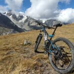
Senza dubbio la tappa più semplice e logica, che conclude questo tour. Da Les Chapieux 1554, per strada asfaltata, si sale in alta valle fino quasi al suo termine, per poi seguire con logica le indicazioni per il Col de la Seigne 2514.
All’inizio una strada sterrata sale al colle con una buona ciclabilità passando nei pressi del Rifugio Mottes, poi alla fine di alcuni tornanti, inizia un tratto abbastanza lungo e faticoso a spinta, mentre in avvicinamento al colle, nuovamente si sale in sella e se le condizioni fisiche sono ancora eccellenti si arriva al colle in sella alla bike.
Senza dubbio alla spettacolarità del paesaggio circostante, ora possiamo aggiungere anche la nostra soddisfazione personale di essere certi di aver portato a conclusione un tour che resterà senza dubbio impresso nella mente e nei nostri ricordi anche con il passare degl’anni.
Ora non rimane che portare a termine il tour con la lunga discesa.
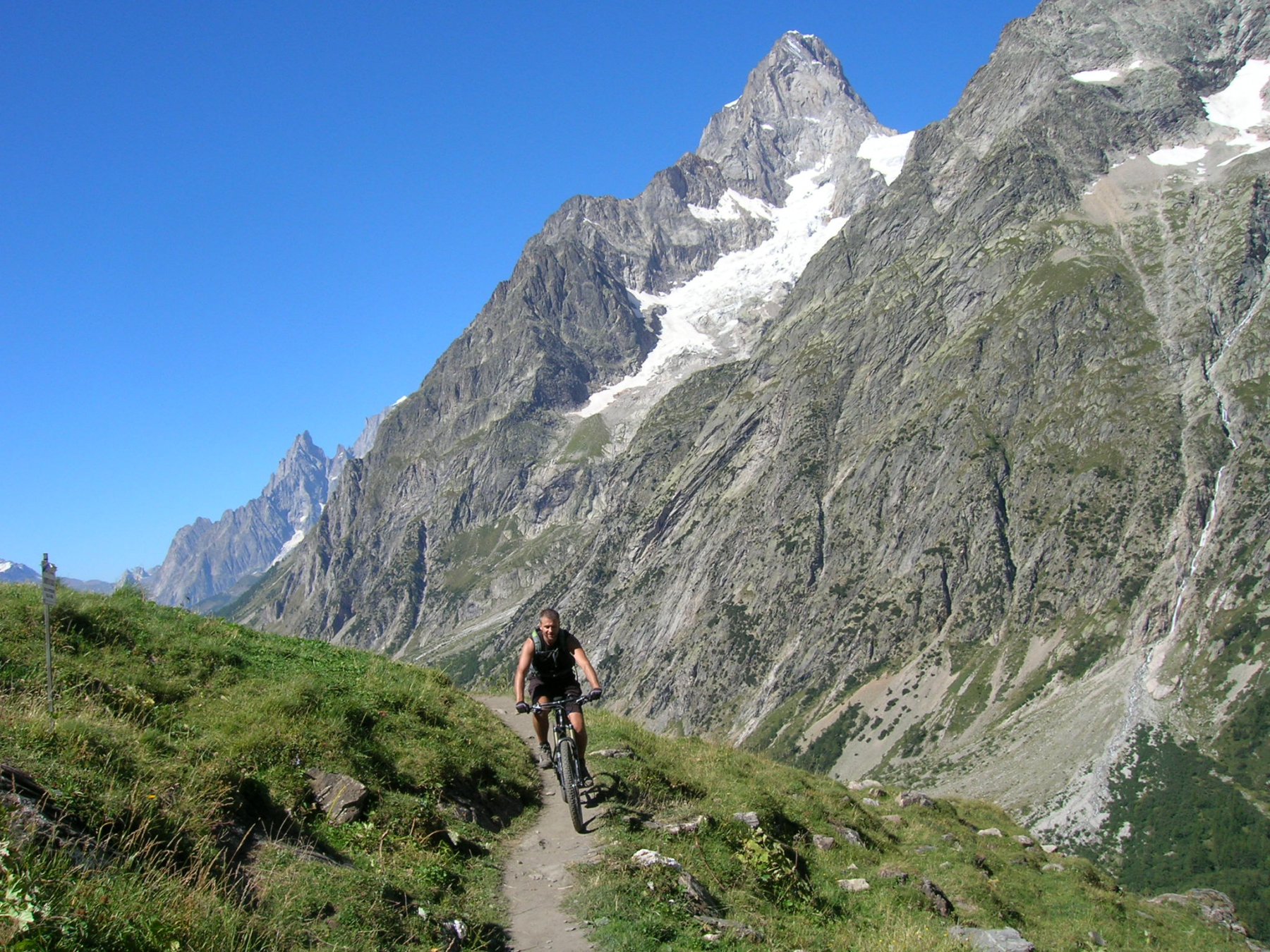
Prima parte molto bella e divertente lungo il Vallone de La Lex Blanche, con passaggio dal Rifugio Elisabetta, poi lungo la più pedonata e trafficata Val Veny, per scendere velocemente a Courmayeur e con una breve risalta a Entreves.
- Cartografia:
- 1:50.000 n. 4 Massiccio del Monte Bianco Istituto Geografico Centrale – con riferimenti alle Gitè d’etape 1:50.000 n. 2
Nelle vicinanze Mappa
Itinerari
15/07/2015 AO, Courmayeur D+ 1700 m BC, BC Tutte
Tour del Monte Bianco (CCW) Tappa 1: Entreves – Champex
 0m
0m
25/08/2016 AO, Courmayeur D+ 1940 m BC, BC+, S2 Varie
Entre Deux Sauts (Tète) da Entreves, giro
 350m
350m
23/08/2004 AO, Courmayeur D+ 1600 m BC, BC Varie
Fortin (Mont) giro della val Val Veny da La Visaille
2.5Km
08/09/2024 AO, Courmayeur D+ 10000 m OC+, OC+, S5 Tutte
Tor des Geants in MTB
 2.7Km
2.7Km
24/06/2025 AO, Courmayeur D+ 1110 m MC+, BC, S2 Nord
Elena, Bonatti, Bertone (Rifugi) da Planpincieux, giro
 3.4Km
3.4Km
15/09/2019 AO, Courmayeur D+ 1040 m BC, BC, S2 Est
Seigne (Col de la) e Rifugio Elisabetta Soldini dai casolari di Peuterey per il lac Combal
 3.7Km
3.7Km
01/08/2009 AO, Pré-Saint-Didier D+ 1100 m MC, MC, S0 Est
Arp (Alpe) da Pre Saint Didier
 5.5Km
5.5Km
19/08/2023 AO, Pré-Saint-Didier D+ 2800 m BC, OC, S3 Tutte
Arp e Chavannes (Colli) da Pré Saint Didier, giro
 5.5Km
5.5Km
18/07/2025 AO, Pré-Saint-Didier D+ 1650 m BC, BC+, S1 Tutte
Chavannes (Col de) da Prè Saint Didier, discesa in Val Veny
6.2Km
19/08/2018 AO, Pré-Saint-Didier D+ 2000 m OC, OC Tutte
Liconi (Testa di) da Prè Saint Didier, giro
6.2Km