
Percorso molto assolato, specie dalle Batterie de Cuguret, che ne rende consigliabile la percorrenza nel periodo autunnale o in giornate non troppo calde.
La parte finale non è consigliabile in presenza di neve o ghiaccio.
In alternativa è possibile, con un auto adeguata, salire lungo la sterrata che raggiunge le Batterie de Cuguret, che si incontra circa un km prima di Jausiers, nei pressi di un ponte che attraversa l'Ubaye (Aire du Pas de Gregoire). In 5 km si raggiungono le batterie.
Da Torino: si valica il Colle del Monginevro dalla Valle di Susa e si raggiunge Briançon, quindi direzione Gap fino a Embrun e Savines le Lac, qui si prosegue verso la valle dell'Ubaye superando la Diga di Serre Poncon e raggiungendo Barcelonnette, e infine Jausiers.
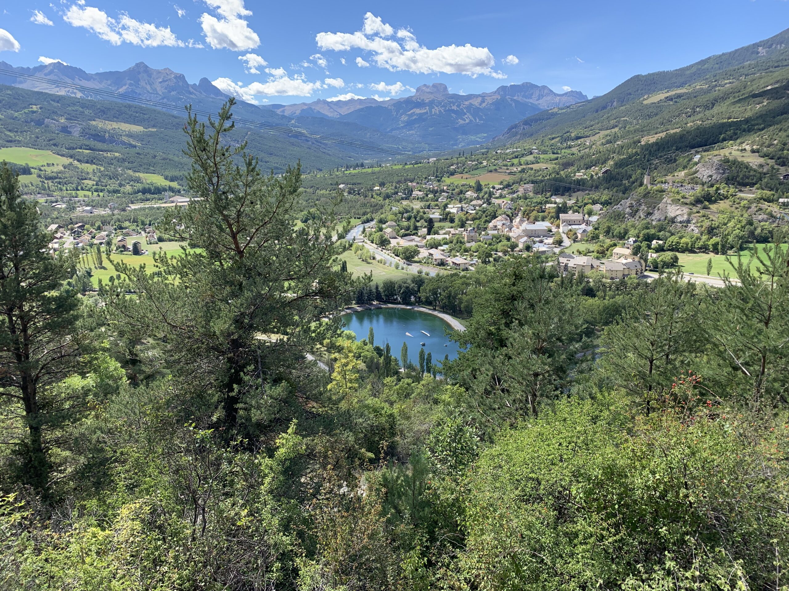
Dal Plan de l’Eau de Jausiers, si segue o la sterrata di destra che terminerà alla Base de Ioisiris (indicazioni per Batterie de Cuguret, percorso un po’ più lungo) oppure il sentiero che si sale a monte della palina indicatrice, addentrandosi nel foresta di Jausiers. Entrambi i percorsi si incontrano a circa 1500 m, in un trivio dove si incrocia la sterrata per le Batterie proveniente dall’Aire du Pas de Gregoire.
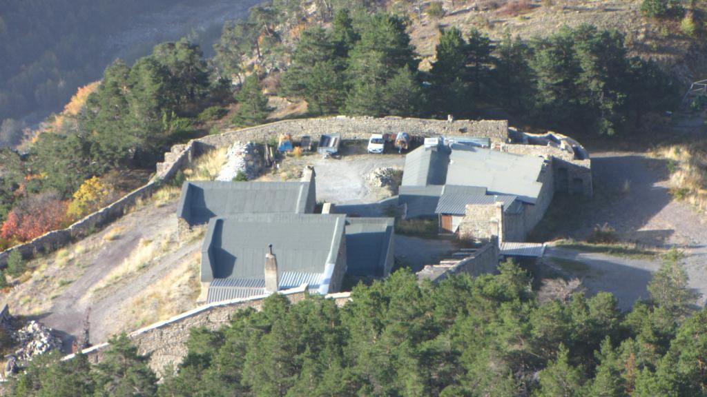
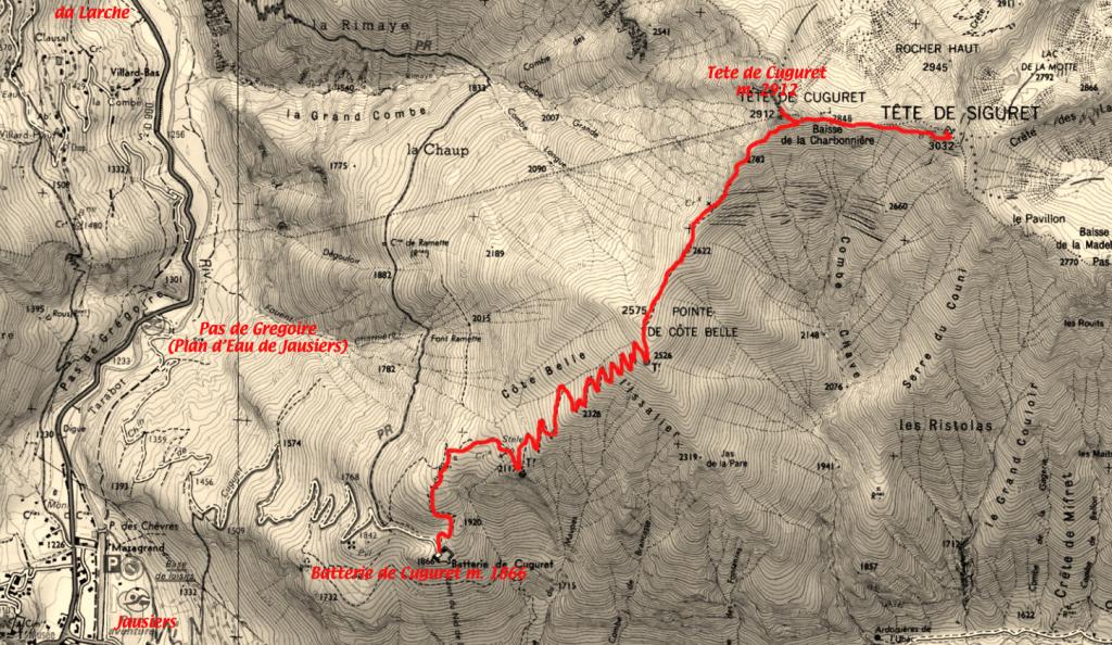
Si segue il sentiero che interseca in alcune occasioni la sterrata, sempre nel bosco, per uscirne ormai in vista delle Batterie de Cuguret 1845 m.
Qui si sale o direttamente sulla dorsale a monte delle costruzioni, oppure seguendo il sentiero a sinistra, che si addentra nella pineta con un diagonale verso nord, per poi ripiegare verso sud raggiungendo una dorsale erbosa, dove si ritrova l’altra traccia.
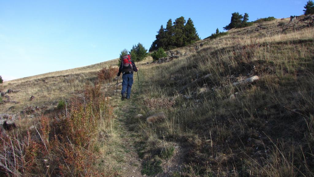
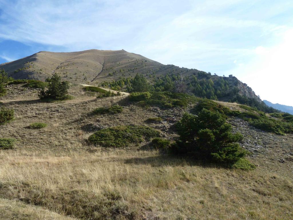
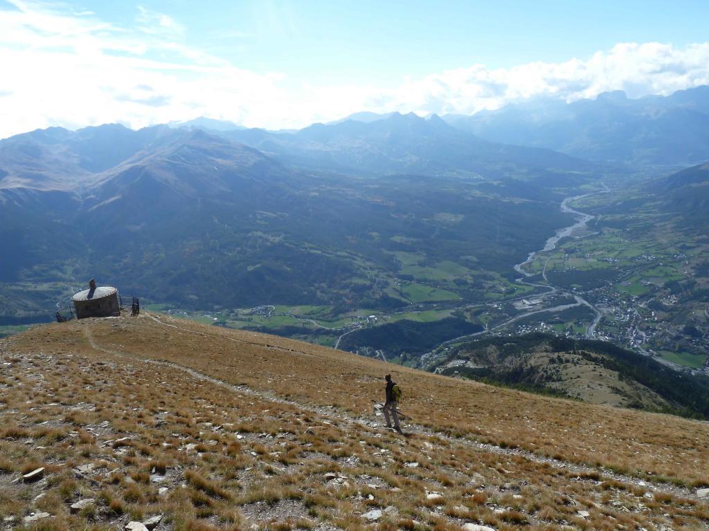
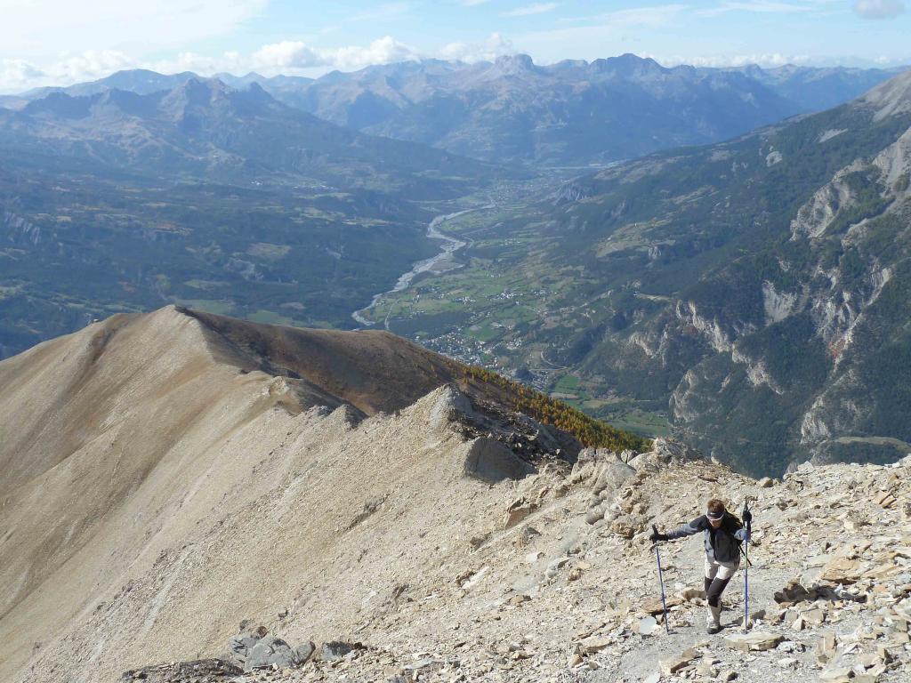
Da qui in avanti il percorso si fa assolato, e inizia a risalire il versante sud della Pointe de Cote Belle. La lunga mulattiera, in pendenza costante ed in buono stato, porta a toccare una prima costruzione circolare (Poste d’Observation) e poi dopo una lunga serie di serpentine che risale il pendio, una seconda costruzione militare, gemella della precedente (Poste Optique posta alla base del crinale sommitale della Cote Belle, che in pochi minuti si raggiunge a 2575 m.
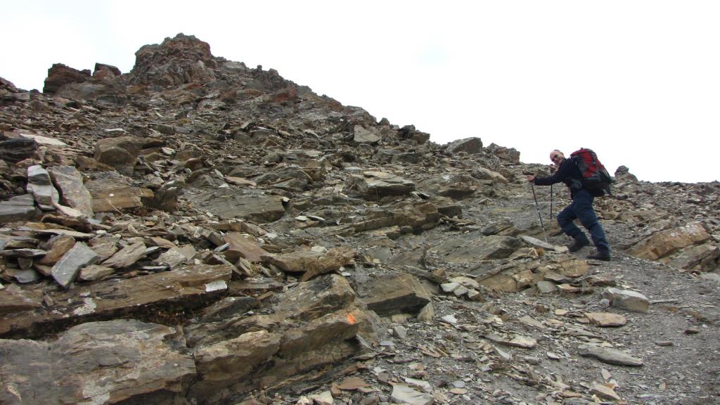
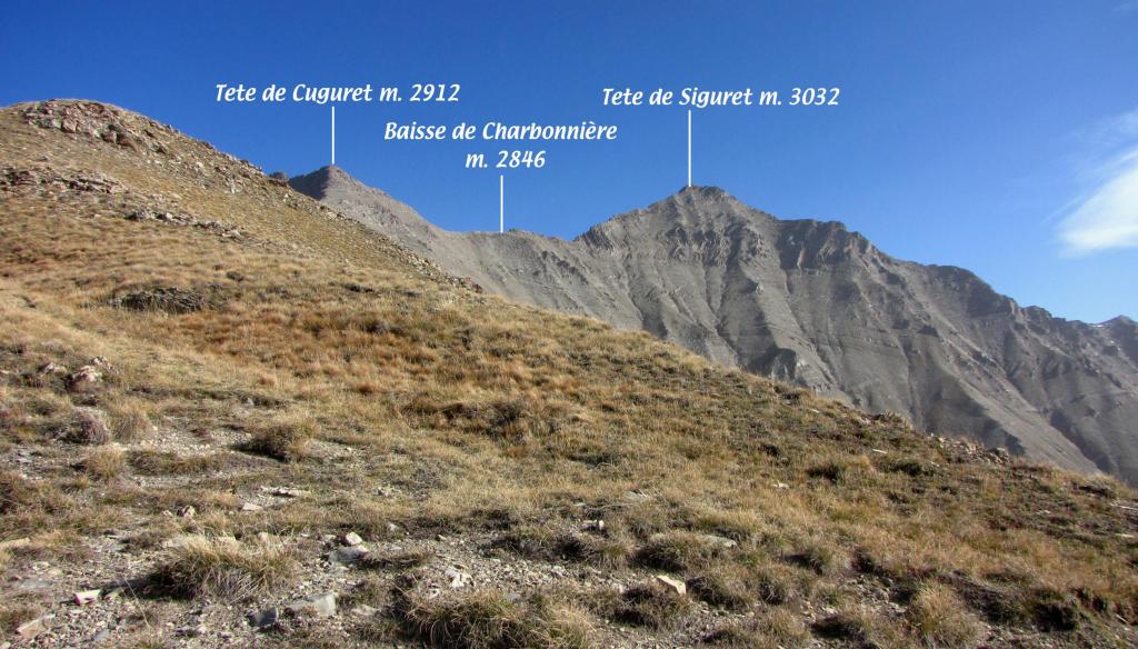
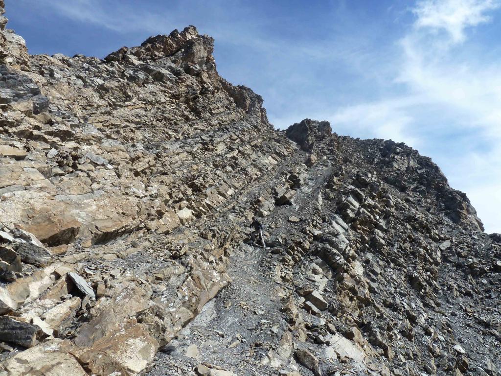
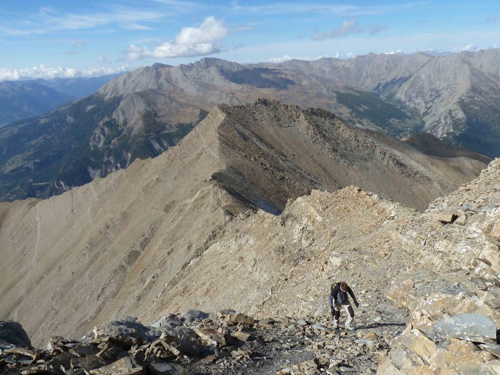
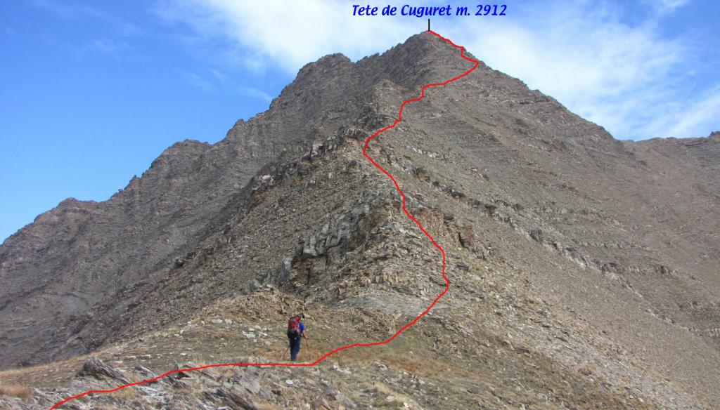
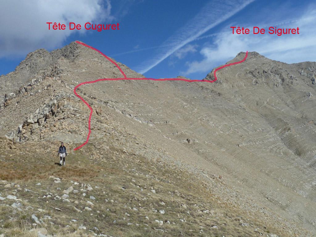
Da qui si prosegue sempre nei pressi del filo del crinale pianeggiante per arrivare alla base del pendio-crinale che sale alla Tete de Cuguret. Nonostante l’aspetto impervio, si sale piuttosto agevolmente su un buon sentiero segnalato da tacche di vernice gialla, che si snoda tra alcune brevi fasce rocciose molto semplici alternate a zone detritiche e di pietrame. a circa 30 m dalla cima s incontra la deviazione, verso destra, sulla quale proseguiremo per la Tete de Siguret; invece per salire alla sommità della Tete de Cuguret, si sale sempre il pendio seguendo i segnavia e senza difficoltà si tocca la cima 2912 m (presente una palina indicatrice).
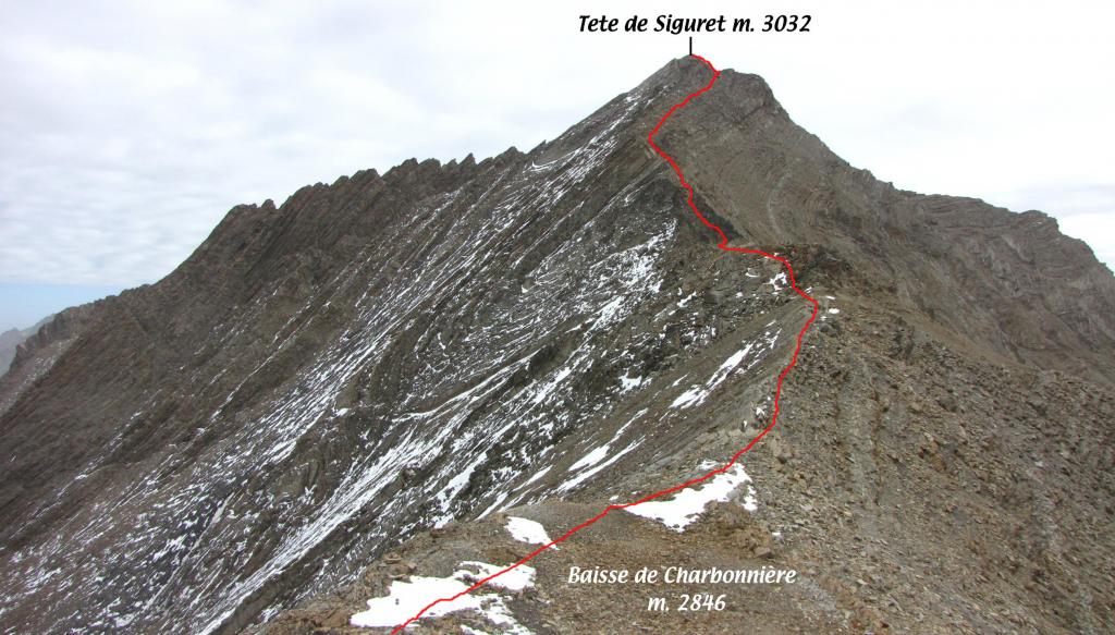
Ridiscesi al bivio precedente, con un po’ di attenzione si attraversa il pendio (inizialmente la via migliore non è così evidente) puntando a raggiungere una specie di cengione detritico dove si notano degli ometti strategici; da qui in breve si arriva alla Baisse de la Charbonniere 2846 m.
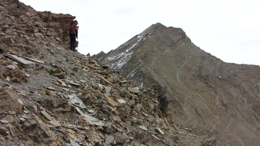
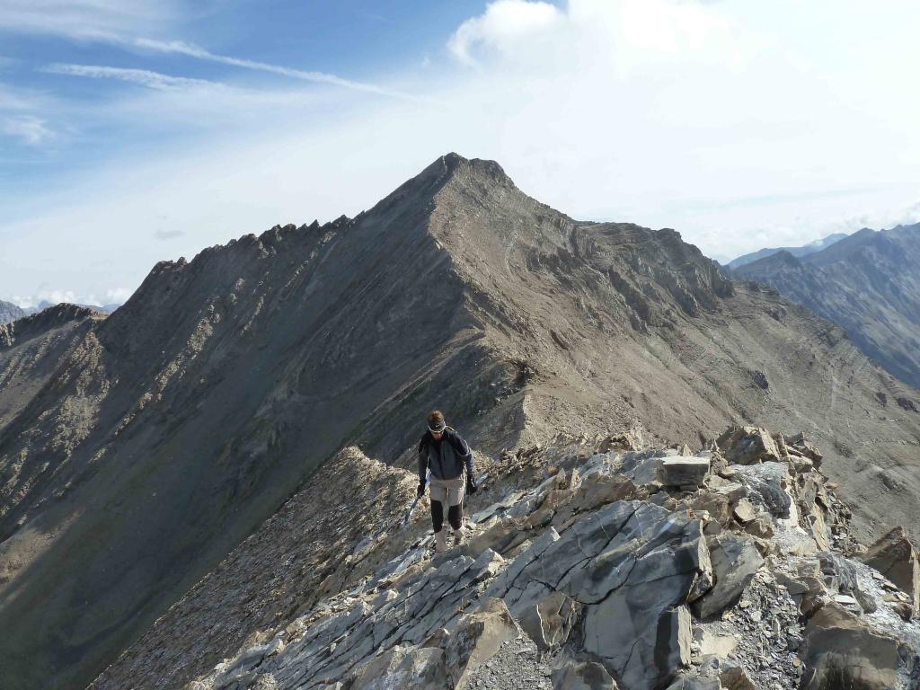
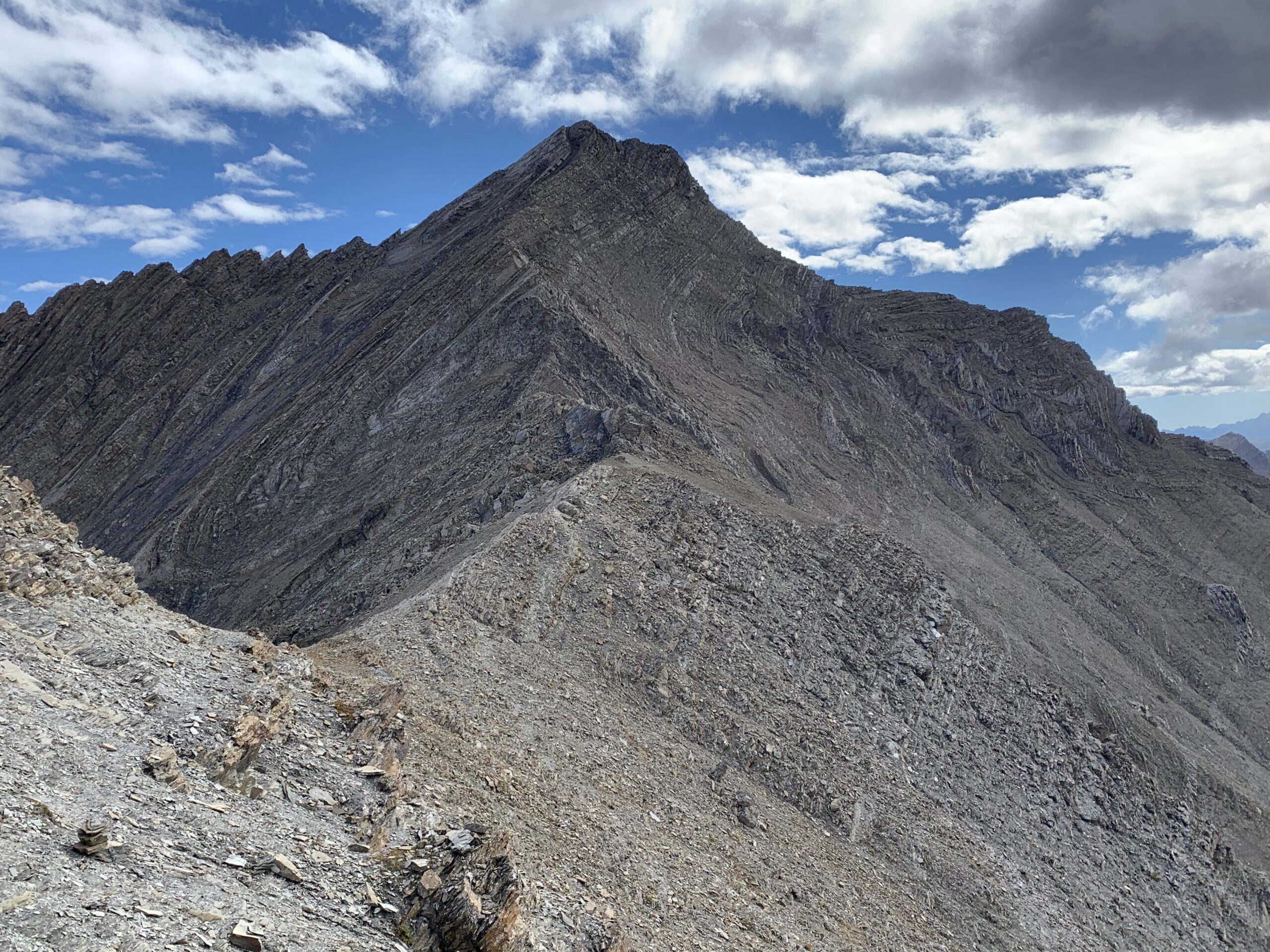
Da qui si vede tutta la parte del percorso che condurrà in cima alla Tete de Siguret, che dall’aspetto non appare così semplice, ma in realtà si salirà senza difficoltà particolari (seguendo il percorso migliore). Si prosegue sulla dorsale per un tratto pianeggiante, spostandosi poi qualche metro sotto sul versante sud, dove si noteranno i bolli rossi di vernice che andranno seguiti fino in cima, purtroppo scelta poco felice questo colore, a volte occorre aguzzare la vista.
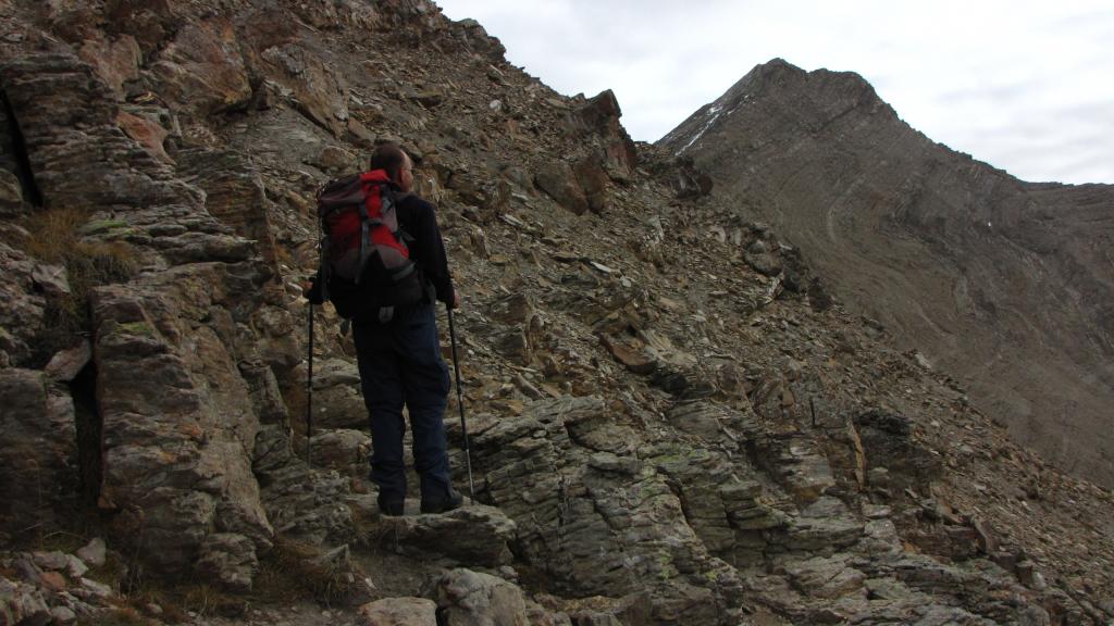
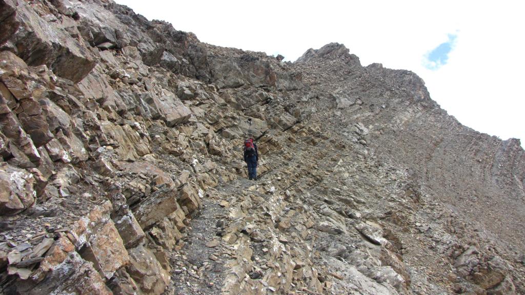
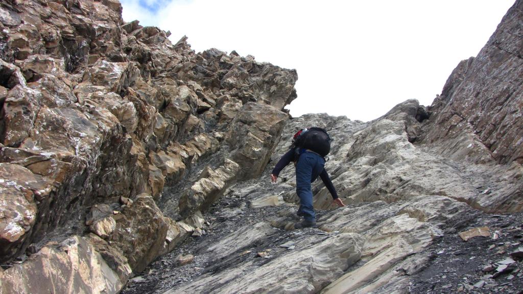
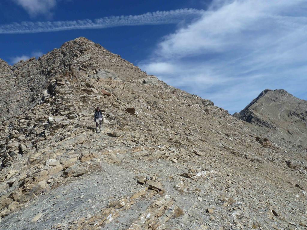
Si incontrano due canalini sul versante sud, che vanno saliti metà il primo, poi si scavalla sul secondo e lo si risale per portarsi nei pressi della cresta, alla base di un grosso diedro roccioso. Qui si incontra, sul versante nord, un breve tratto di cavo metallico che permette di aggirare il diedro su un terrazzino un po’ esposto ma molto breve; quindi ritornati in cresta si ridiscende per qualche metro sul versante sud, che non si abbandonerà più. Superate alcune banali roccette in leggera discesa si prosegue su una cengetta leggermente aerea, che poi via via diventa più larga e comoda (buona traccia di sentiero).
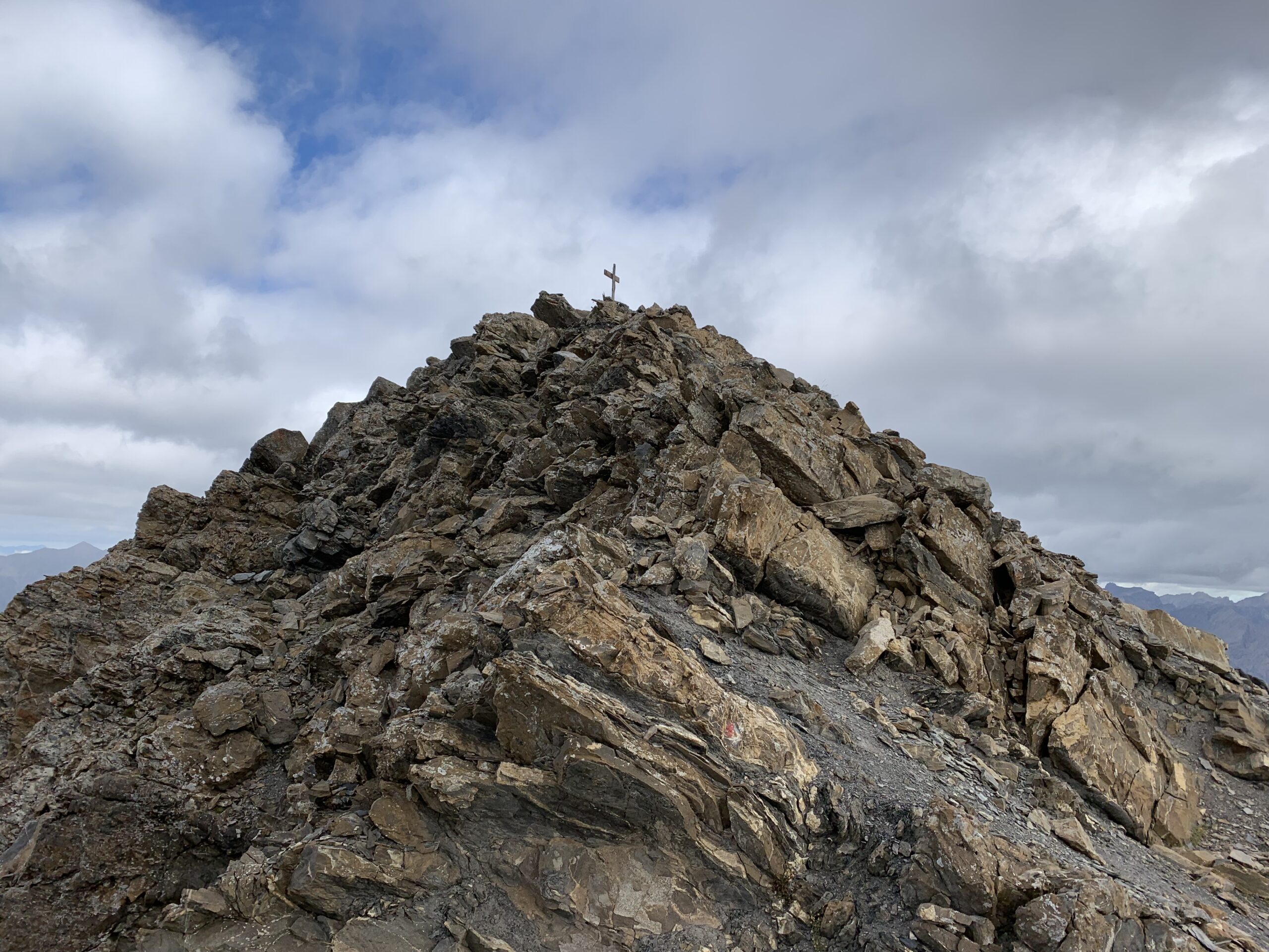
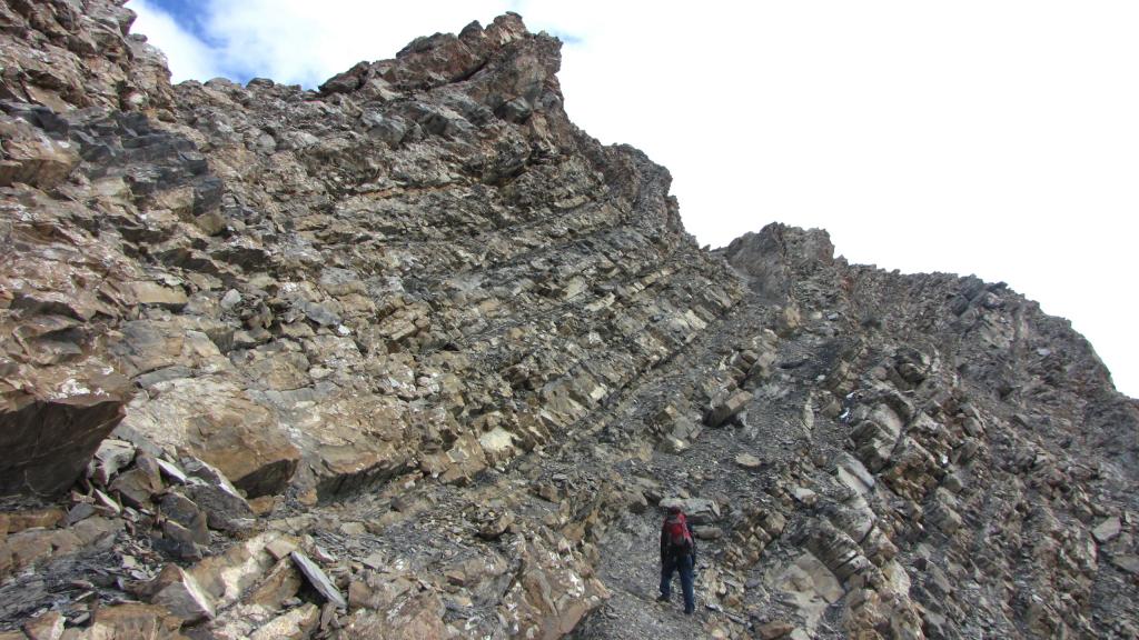
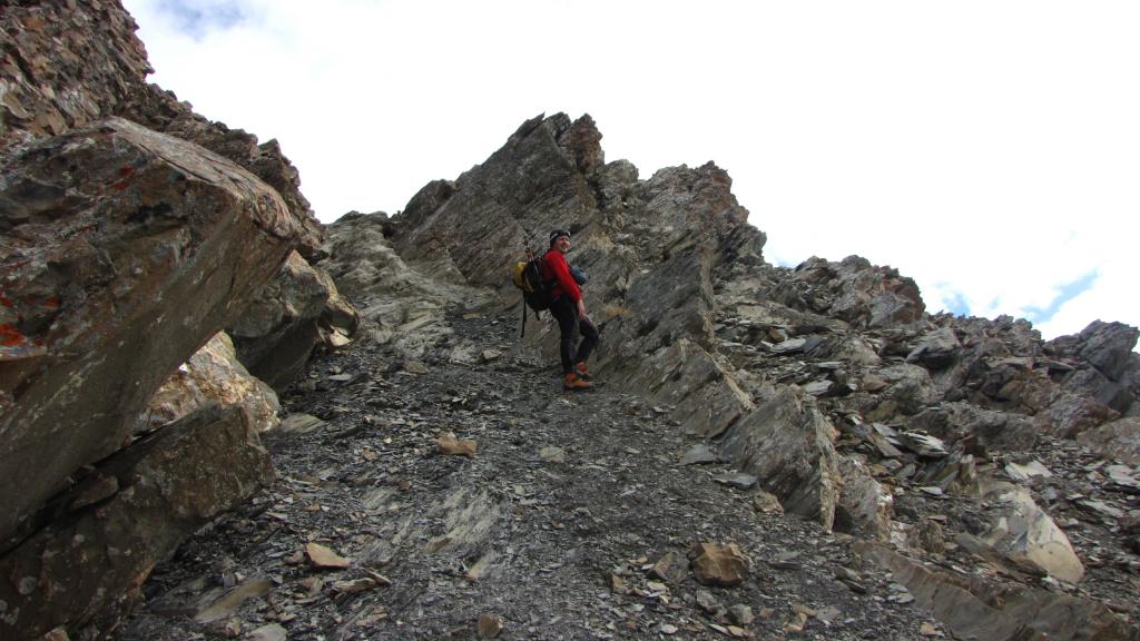
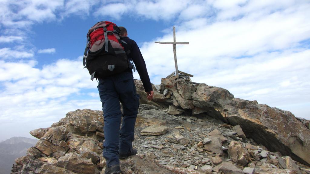
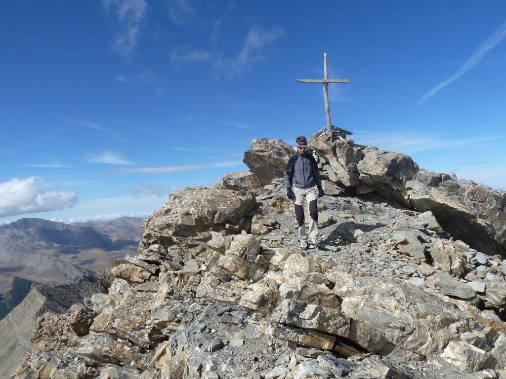
Questa cengia andrà seguita sostanzialmente fino all’intaglio a sinistra della cima, già ben visibile. Giunti al canalino sotto l’intaglio senza alcuna problematica, si incontra il secondo ed ultimo cavo metallico, che agevola la salita del canalino roccioso con fondo di terriccio un po’ scivoloso (i passi sono comunque banali di I). Dall’intaglio si volge a sinistra per traccia di sentiero raggiungendo rapidamente la vetta 3032 m, dove è presente una croce lignea con la scritta Siguret.
In discesa si percorre integralmente lo stesso itinerario seguito in salita.
- Cartografia:
- IGN foglio 3538ET - Aiguille de Chambeyron, Col de Larche et de Vars – scala 1:25000
Nelle vicinanze Mappa
Itinerari
Fine (Pointe) da Jausiers
 350m
350m
Cuguret (Tète de) da plan d’eau di Jausiers
 1.4Km
1.4Km
Chevalier (le) da Ravin du Pis per il Lac de Terres Pleines
 8Km
8Km
Grand Parpaillon (le) da Pont de Berard per il Col de Parpaillon
 8.2Km
8.2Km
Grand Bérard (le) dal Vallon Bérard per la cresta Sud, anello per il Vallon de Parpaillon
 8.2Km
8.2Km
Homme (Tete de l’) da Meyronnes per il sentiero della Rochaille e la cresta SE
 8.8Km
8.8Km
Siguret (Tete de) e Tete de Cuguret da Meyronnes
 8.8Km
8.8Km
Cassoun (Tete de) da Saint Paul sur Ubaye per Tournoux e la Batterie de Vallon Claous
 9.7Km
9.7Km
Sautron (Monte) da Saint Ours, traversata a Larche
 9.9Km
9.9Km
Courbe (Tète de la) da Saint Ours per il Col de Mirandol
 9.9Km
9.9Km