1.5Km
1.5Km

Avvicinamento
 50m
1.2Km
1.2Km
5.5Km
5.5Km
5.5Km
5.5Km
5.5Km
5.5Km
5.5Km
50m
1.2Km
1.2Km
5.5Km
5.5Km
5.5Km
5.5Km
5.5Km
5.5Km
5.5Km
Da Borgo San Dalmazzo SS 21 per il colle della Maddalena dal quale si scende a Meyronnes.
Descrizione
Dal municipio di Meyronnes seguire interamente in senso orario il sentiero della Rochaille indicato da tacche gialle.
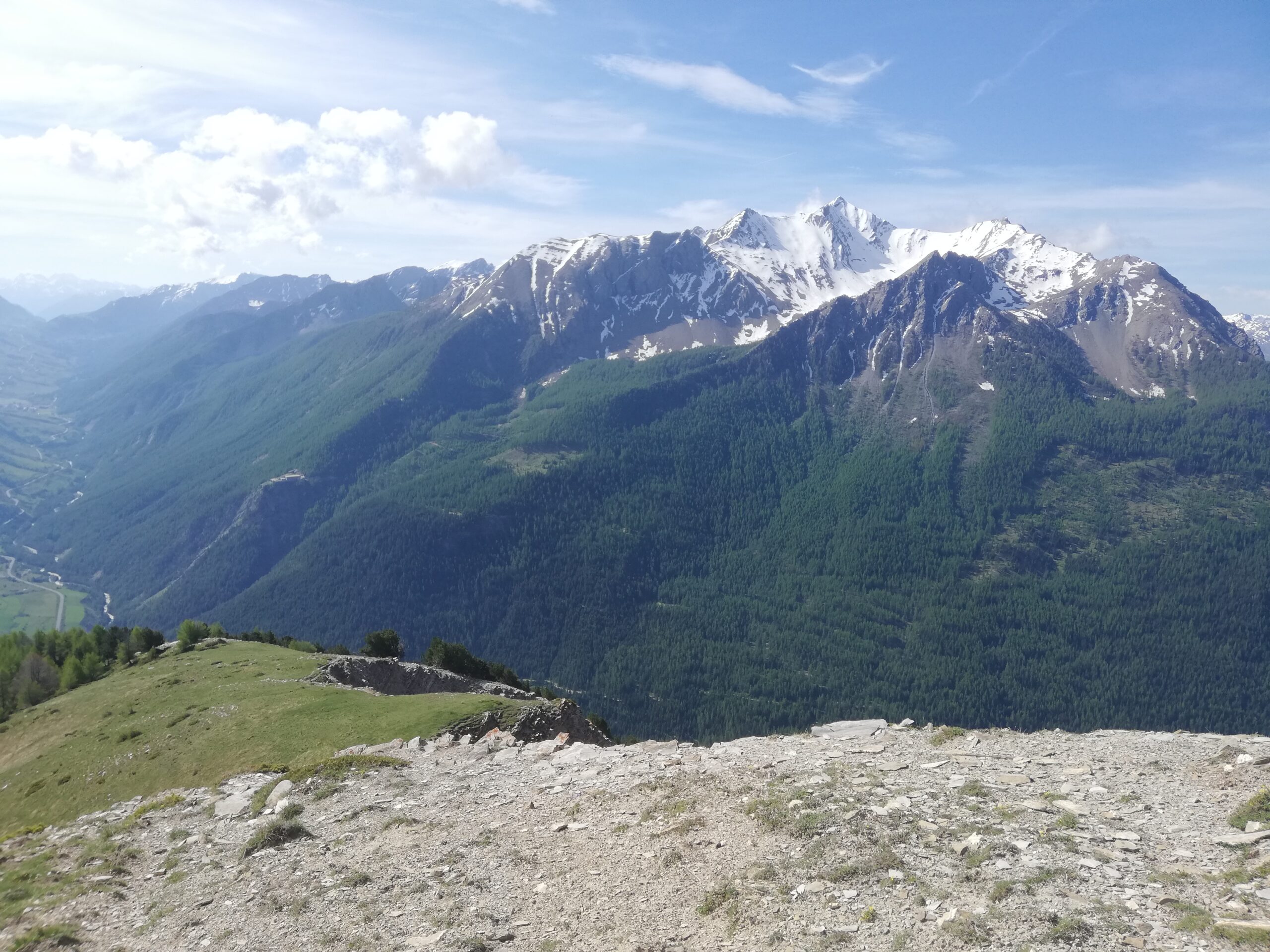
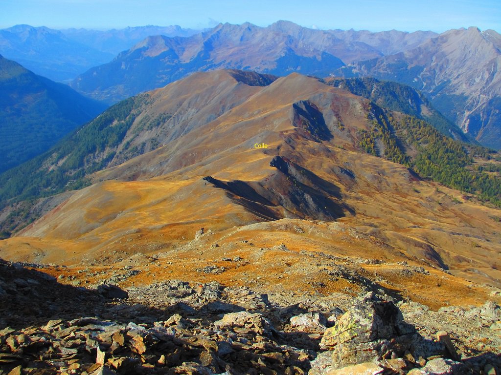
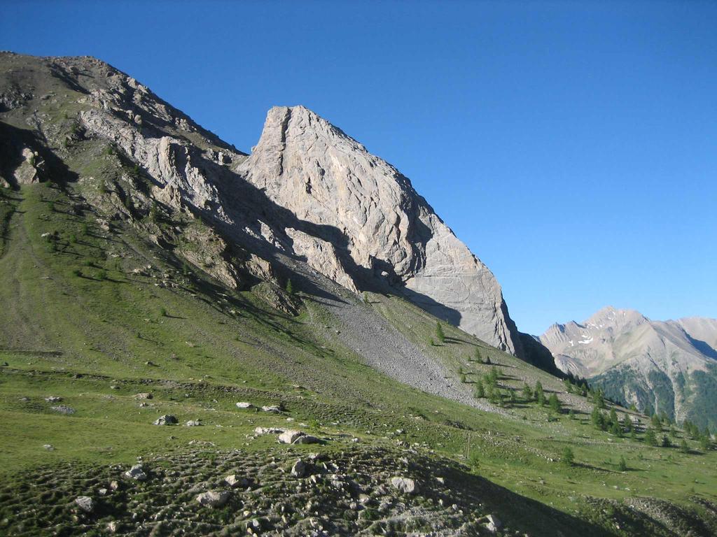
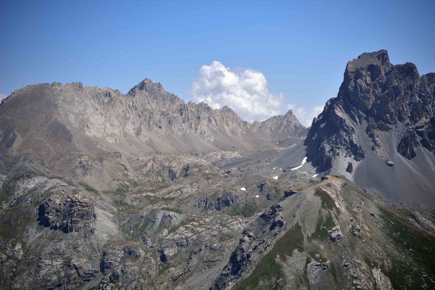
In lieve discesa si attraversa un ruscello sotto il centro vacanze e dopo alcuni saliscendi si inizia a salire decisamente nel bosco su tornanti passando vicino ad un punto panoramico e raggiungendo la cresta SE della Tete de l’ Homme dove si trovano una capanna in legno ed i bunker della postazione Serre la Plate.
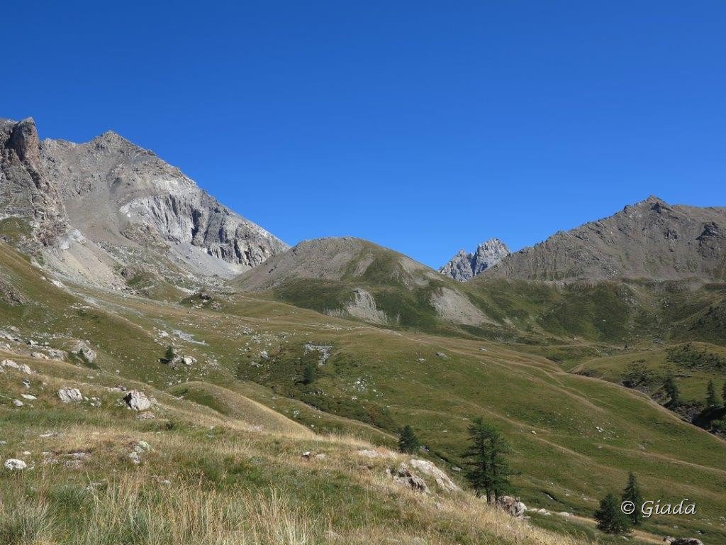
Da qui, al ritorno, con un lungo traverso tra canaloni, prati e ruderi di vecchi alpeggi si scenderà verso Saint’Ours dove a, poche decine di metri dall’ abitato, si entra sulla pista che ricondurrà al punto di partenza.
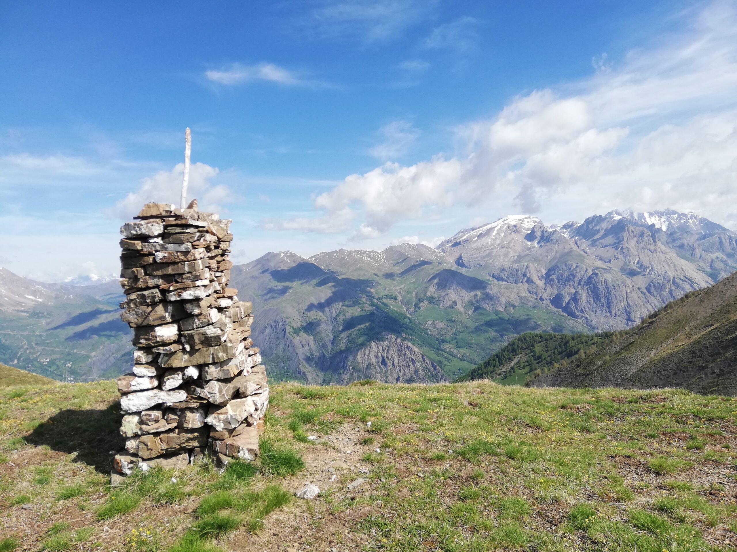
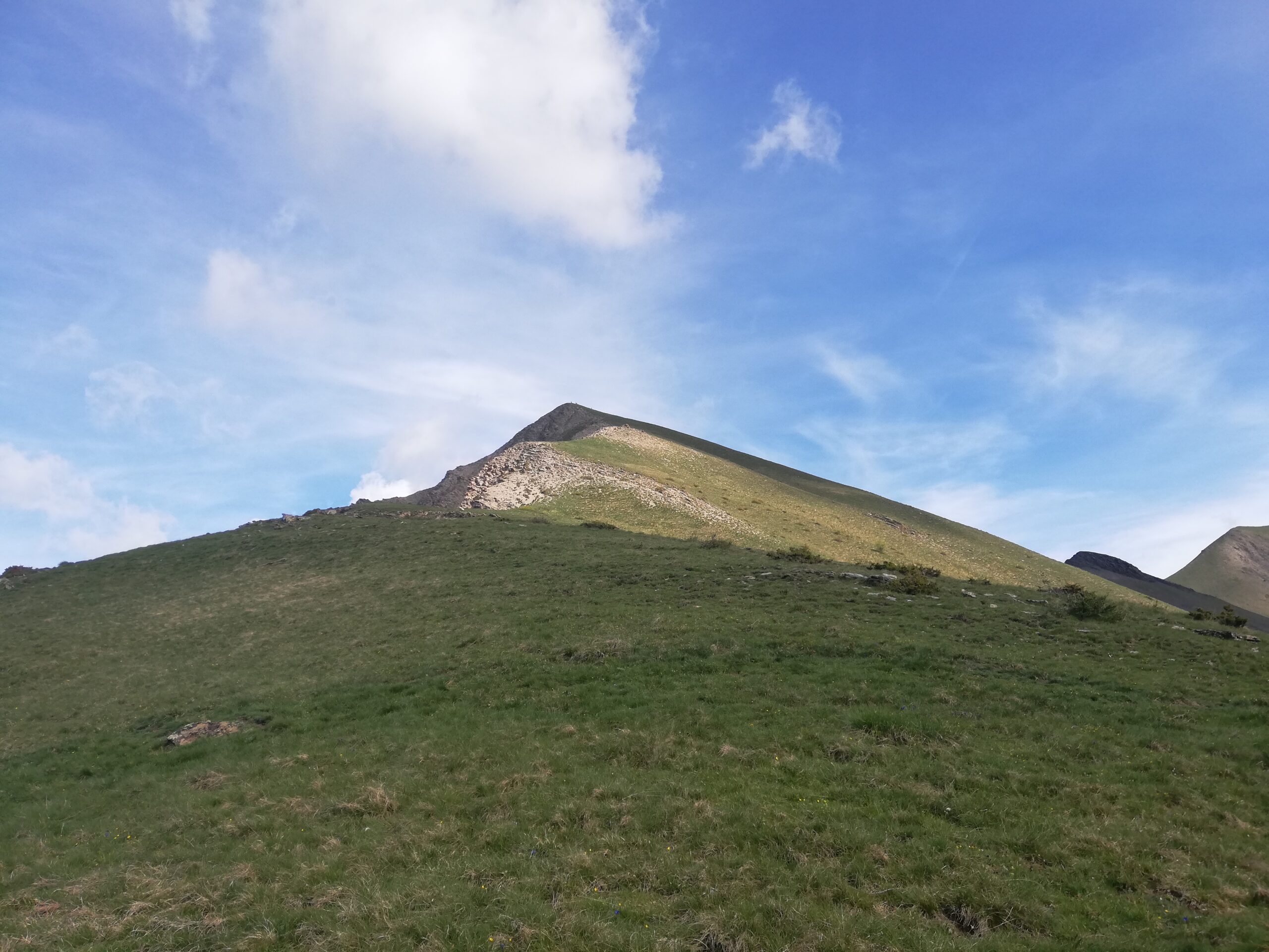
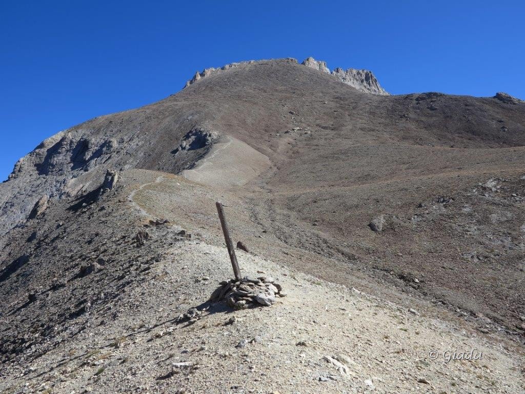
Per arrivare in cima si risale invece la dorsale a lungo boscosa ma facile utilizzando spesso tracce di animali per uscire sulle panoramiche praterie sotto l’obelisco di vetta
Nelle vicinanze Mappa
Itinerari
10/08/2024 Alpes-de-Haute-Provence, Val-d'Oronaye D+ 1552 m EE/F Nord-Est
Siguret (Tete de) e Tete de Cuguret da Meyronnes
 50m
50m
14/08/2023 Alpes-de-Haute-Provence, Val-d'Oronaye D+ 1313 m EE/F Sud-Ovest
Courbe (Tète de la) da Saint Ours per il Col de Mirandol
 1.2Km
1.2Km
18/07/2009 Alpes-de-Haute-Provence, Val-d'Oronaye D+ 1400 m EE Tutte
Sautron (Monte) da Saint Ours, traversata a Larche
 1.2Km
1.2Km
31/08/2024 Alpes-de-Haute-Provence, Saint-Paul-sur-Ubaye D+ 1439 m EE/F Sud-Ovest
Aval (Pointe d’) o Pointe de Chauvet da Fouillouse per il Refuge de Chambeyron
 5.5Km
5.5Km
22/10/2011 Alpes-de-Haute-Provence, Saint-Paul-sur-Ubaye D+ 800 m E Ovest
Chambeyron (Refuge de) da Fouillouse, anello per il Pas de la Couleta
 5.5Km
5.5Km
18/08/2023 Alpes-de-Haute-Provence, Saint-Paul-sur-Ubaye D+ 1339 m EE/F Ovest
Nubiera (Buc de) da Fouillouse
 5.5Km
5.5Km
28/07/2015 Alpes-de-Haute-Provence, Saint-Paul-sur-Ubaye D+ 650 m E Est
Vallonet (Col du) da Fouillouse
 5.5Km
5.5Km
29/08/2022 Alpes-de-Haute-Provence, Saint-Paul-sur-Ubaye D+ 1127 m EE Sud-Ovest
Bec Roux (le) da Fouillouse
 5.5Km
5.5Km
19/07/2015 Alpes-de-Haute-Provence, Saint-Paul-sur-Ubaye D+ 1010 m EE Varie
Eyssilloun (Tète de l’) da Fouillouse
 5.5Km
5.5Km
18/08/2024 Alpes-de-Haute-Provence, Saint-Paul-sur-Ubaye D+ 1256 m EE Sud-Ovest
Frema (Tete de la) da Fouillouse
 5.5Km
5.5Km