 50m
50m

Note
 50m
50m
2.1Km
2.3Km
2.3Km
2.3Km
5.1Km
5.1Km
5.1Km
50m
50m
2.1Km
2.3Km
2.3Km
2.3Km
5.1Km
5.1Km
5.1Km
50m
300m
2.4Km
6.5Km
7Km
7Km
7.3Km
7.5Km
7.9Km
7.9Km
Gita alternativa alla Madonna del Cotolivier che risale la lunga dorsale Est verso la Croce di S. Giuseppe nel bosco rado, via via sempre più ripida e stretta, fino a risalire un breve tratto esposto poco prima della Croce, dove possono essere utili picca e ramponi.
Anche senza raggiungere la Croce, i tratti di dorsale orlati di cornici offrono scorci veramente piacevoli.
Si può partire anche da Beaulard, aggiungendo circa 240 m di dislivello e un’oretta in più.
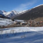
Avvicinamento
Anche senza raggiungere la Croce, i tratti di dorsale orlati di cornici offrono scorci veramente piacevoli.
Si può partire anche da Beaulard, aggiungendo circa 240 m di dislivello e un’oretta in più.
.
Descrizione
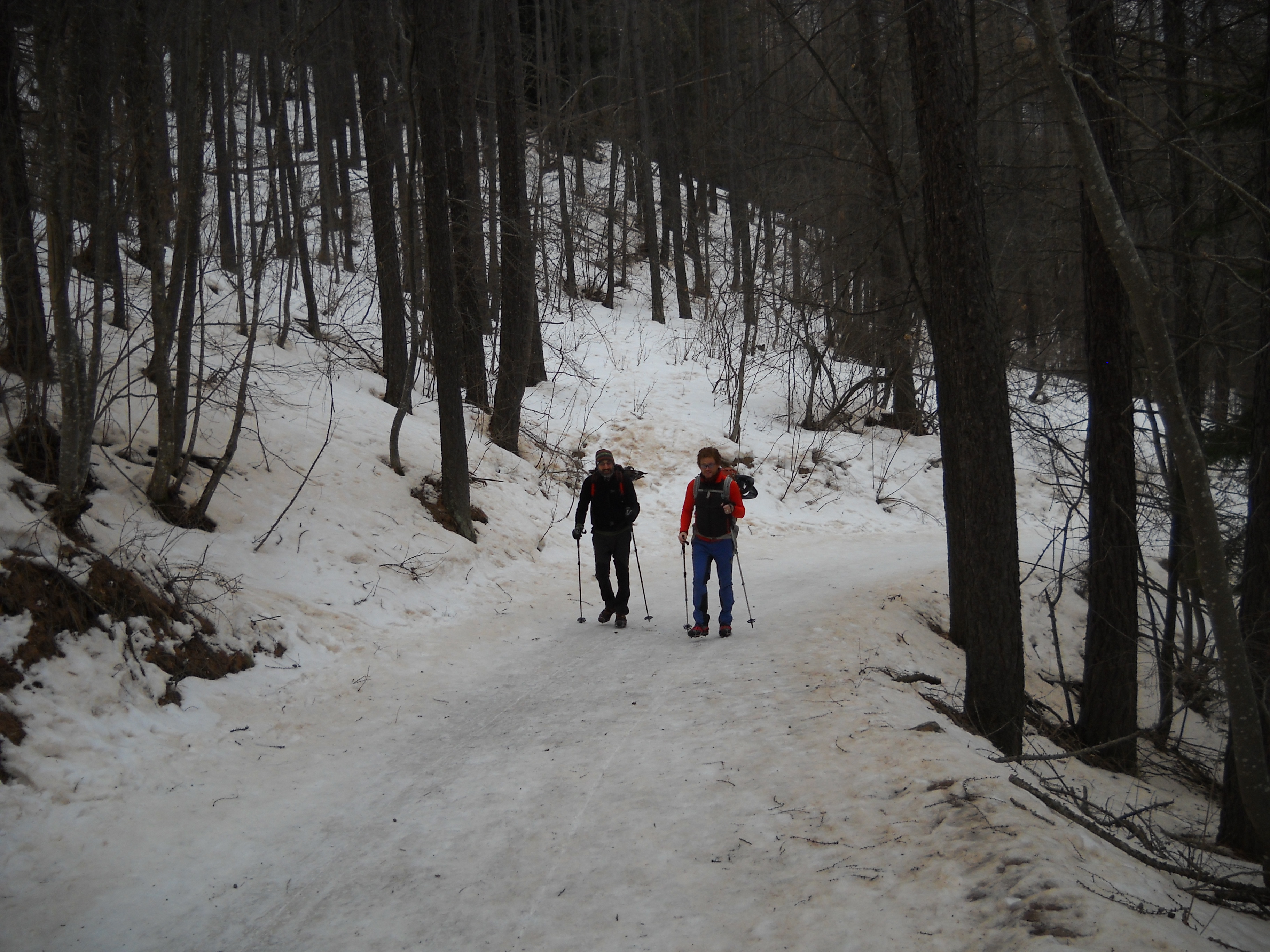
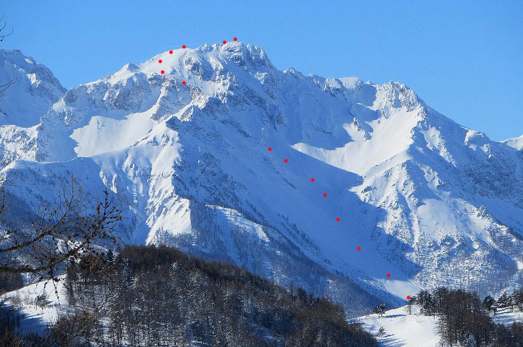
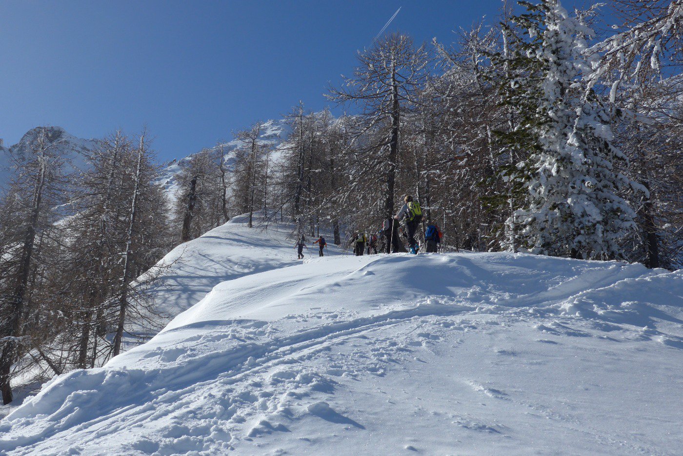
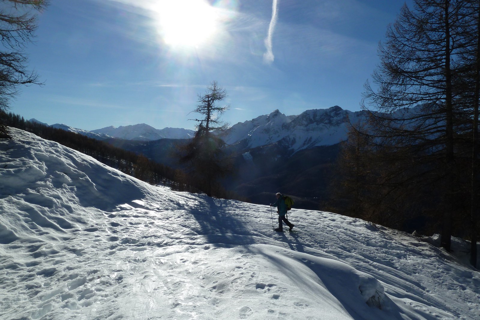
Fino a a quota 1650 l’itinerario è comune al Cotolivier, lo si abbandona a questa quota per seguire il sentiero estivo (segni bianchi e rossi su gli alberi), risalendo radure e lariceta mai troppo fitta, se non per pochi metri prima di uscire sulla dorsale a quota 2000 circa in località Pourachet. Si svolta a destra e si risale completamente la dorsale di rado bosco e radure che via via diventa ripida e più stretta (cornici).
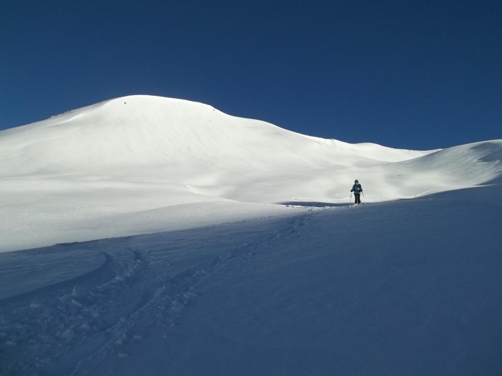
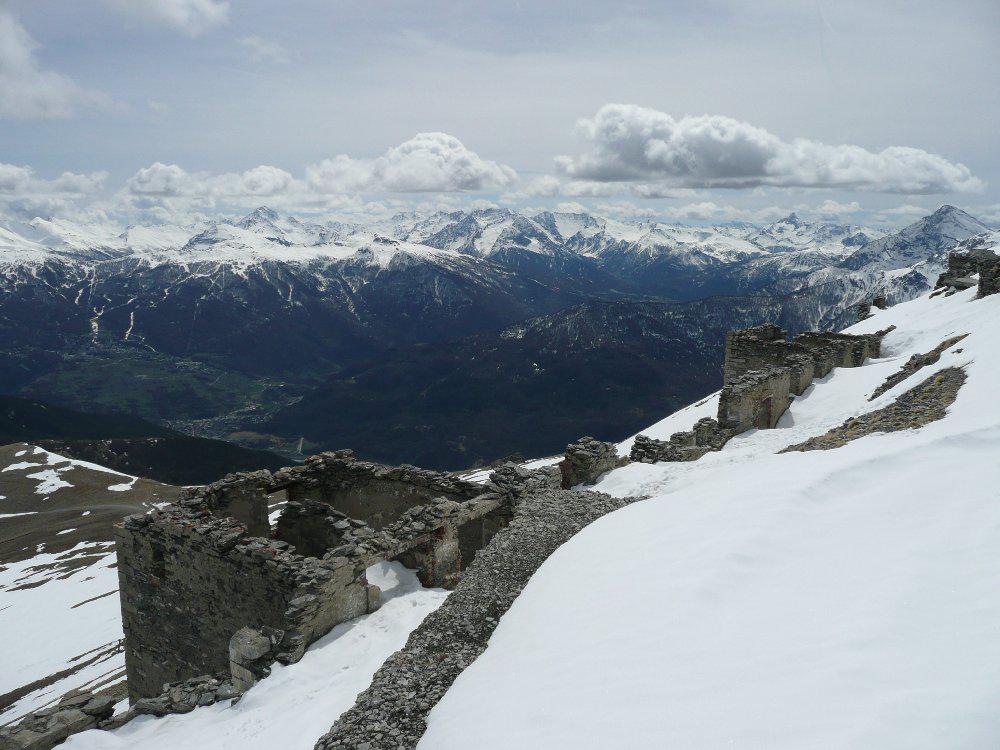
I tratti ripidi sono evitabili spostandosi nel bosco sul lato N per poi riprendere la cresta più in alto. Giunti alla base della breve bastionata rocciosa, si lasciano le racchette in prossimità di un pino solitario dove si calzano i ramponi. Si prosegue la salita risalendo le roccette innevate fino a sbucare sul pendio finale dove in breve si raggiunge la grossa Croce. Ottimo panorama
Discesa dal percorso di salita
- Cartografia:
- IGC n. 1 Valle Susa 1:50000
Nelle vicinanze Mappa
Itinerari
16/02/2017 TO, Oulx D+ 926 m MR Nord
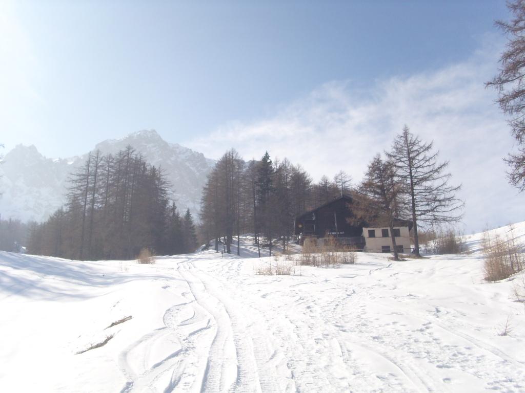
Beaulard quota 2100 m (ex piste) da Beaulard per il Rifugio Guido Rey
 50m
50m
15/02/2026 TO, Oulx D+ 931 m MR Nord
Madonna del Cotolivier (Cappella) da Beaulard
 50m
50m
21/02/2021 TO, Oulx D+ 600 m MR Varie
Colomion (Punta) da Puy
 2.1Km
2.1Km
17/05/2024 TO, Oulx D+ 1504 m ORA, PD- Nord-Est
Clotesse (Punta) da Chateau Beaulard per la Canala
 2.3Km
2.3Km
07/02/2017 TO, Oulx D+ 600 m MR Nord-Est
Rey Guido (Rifugio) da Chateau Beaulard
 2.3Km
2.3Km
20/02/2020 TO, Oulx D+ 840 m MR Nord
Garde (Rocher de la) da Chateau Beaulard per il rifugio Guido Rey
 2.3Km
2.3Km
17/05/2024 TO, Oulx D+ 200 m MR Nord
Vazon (Frazione) da Chateau Beaulard
2.3Km
31/01/2021 TO, Bardonecchia D+ 320 m MR Sud
Foens (Forte) da Bacini di Frejusia
 5.1Km
5.1Km
07/12/2014 TO, Bardonecchia D+ 1200 m MR Varie
Jafferau (Monte) e Monte Vin Vert da Bacini Frejusia, traversata con discesa per la Valfredda
 5.1Km
5.1Km
26/05/2024 TO, Bardonecchia D+ 879 m MR Sud-Ovest
Jafferau (Monte) dai Bacini Frejusia
 5.1Km
5.1Km
Servizi
50m
300m
Dell’Orsa Bar
Oulx
2.4Km
L’Eitabl Ristorante
Oulx
6.5Km
Escarton Ristorante
Bardonecchia
7Km
Bardosteria Ristorante
Bardonecchia
7Km
Da Silvio Ristorante
Bardonecchia
7.3Km
La Chardouse Rifugio
Oulx
7.5Km
Degli Artisti Bar
Bardonecchia
7.9Km
L’fouie Ristorante
Bardonecchia
7.9Km


