1.1Km
1.1Km


Note
 50m
50m
50m
50m
50m
950m
2.6Km
2.6Km
2.6Km
50m
50m
50m
50m
50m
950m
2.6Km
2.6Km
2.6Km
Per il tratto di cresta tra il Lancebranlette e l’Aig. Hermite sulla cartografia toponimi e quote non sono molto univoci, complice forse il fatto che ci si trova sulla cresta di confine: Sommet des Rousses e Mont de la Fourclaz sono spesso utilizzati per la quota 2978, opposta al Lancebranlette; nell’itinerario qui descritto la Sommet des Rousses è la quota 2840 m che sovrasta, a Sud, il Col des Rousses 2822 m.
Se nell’attraversare il Vallone del Breuil se ne vede sempre la parte “scenica” fatta di pascoli, alpeggi, ghiacciai e torrenti con questa escursione si va invece nel “dietro le quinte”. E’ una gita con scarso dislivello, facile e scontata fino al Colle della Pointe Rousse; da qui in poi, però, lasciato il sentiero, diventa faticosa e fa quasi pensare ad un ritorno all’età della pietra, visto che il tema dominante sono i sassi.
Avvicinamento
Se nell’attraversare il Vallone del Breuil se ne vede sempre la parte “scenica” fatta di pascoli, alpeggi, ghiacciai e torrenti con questa escursione si va invece nel “dietro le quinte”. E’ una gita con scarso dislivello, facile e scontata fino al Colle della Pointe Rousse; da qui in poi, però, lasciato il sentiero, diventa faticosa e fa quasi pensare ad un ritorno all’età della pietra, visto che il tema dominante sono i sassi.
Seguire la SS26 della Valle d’Aosta fino a La Thuile, proseguire per il PS Bernardo, prima del colle deviare a destra (indicazioni gialle su palina) per il Lago di Verney, ove si parcheggia.
Descrizione
Si parte dal parcheggio al Lago di Verney (2089 m) e subito si arriva al bivio con palina dove si hanno due possibilità:
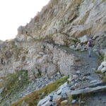
1 seguire la strada sterrata che coincide con il sentiero n. 14; questa si restringe poi a sentiero (sempre segnato da bolli gialli), aggira un promontorio e si mantiene in costa sovrastando il torrente di Torveraz per poi attraversarlo al guado; prosegue per pascoli, attraversa ancora un torrentello e quindi risale l’erto pendio finale arrivando al Colle della Pointe Rousse (2552 m);
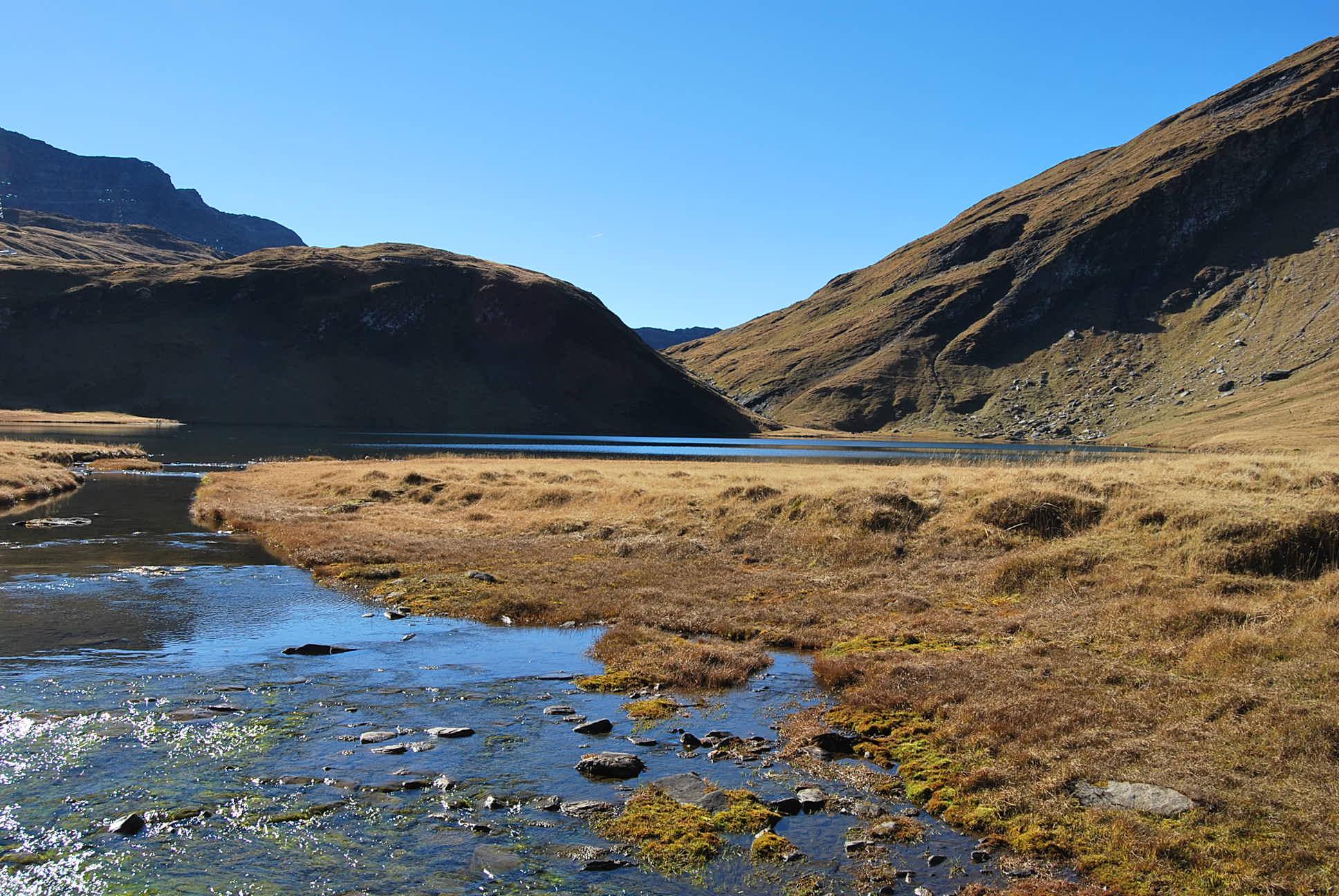
2 prendere subito il sentiero che scende all’emissario del lago e lo attraversa su una passerella in tavole per poi risalire sul pendio erboso opposto. Questo sentiero, che è identificato con un bollo di vernice gialla fatto di recente e senza numero, si alza sopra il Lago di Verney ed entra poi nel pianoro sovrastante arrivando al Lago di Verney Superiore (2278 m). Qui di nuovo si hanno due possibilità. 2a. Scendere, seguendo le varie tracce nei pascoli, al sottostante sentiero n. 14, ben visibile, incrociandolo presso l’attraversamento del torrente Torveraz; 2b. (consigliata se si ha una certa familiarità con la zona) continuare lungo il sentiero, dirigendosi verso la bastionata del Lancebranlette – Monte de la Fourclaz. Il sentiero, sempre su pascoli, effettua un’ampia curva, attraversa un tratto franato e si ricongiunge con il n. 14 pochi tornanti sotto il colle. Attenzione: questo sentiero non è segnato sulle carte citate, inevitabilmente si confonde con le tracce di bestiame per cui è facile perderlo, anche se i bolli ci sono sempre.
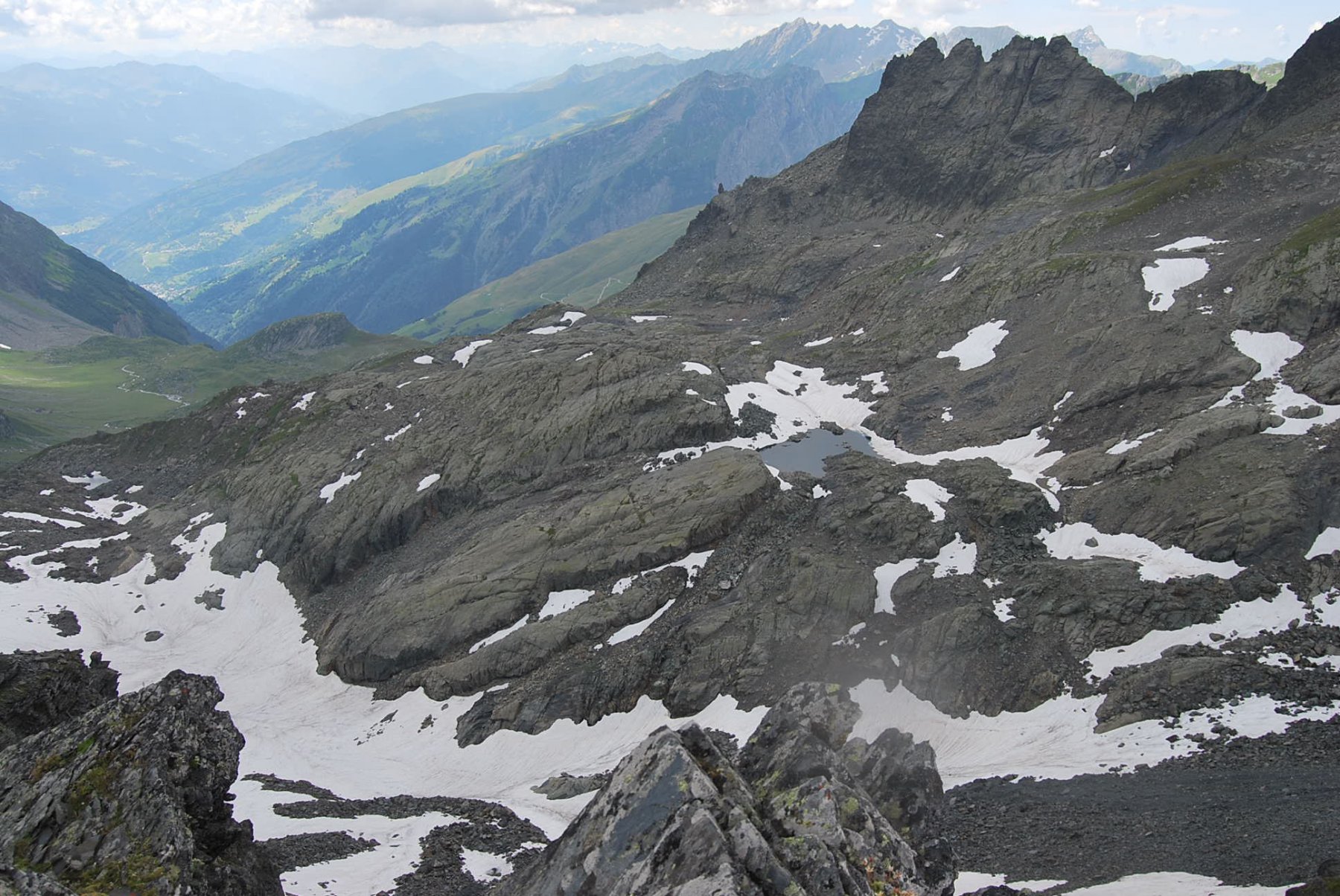
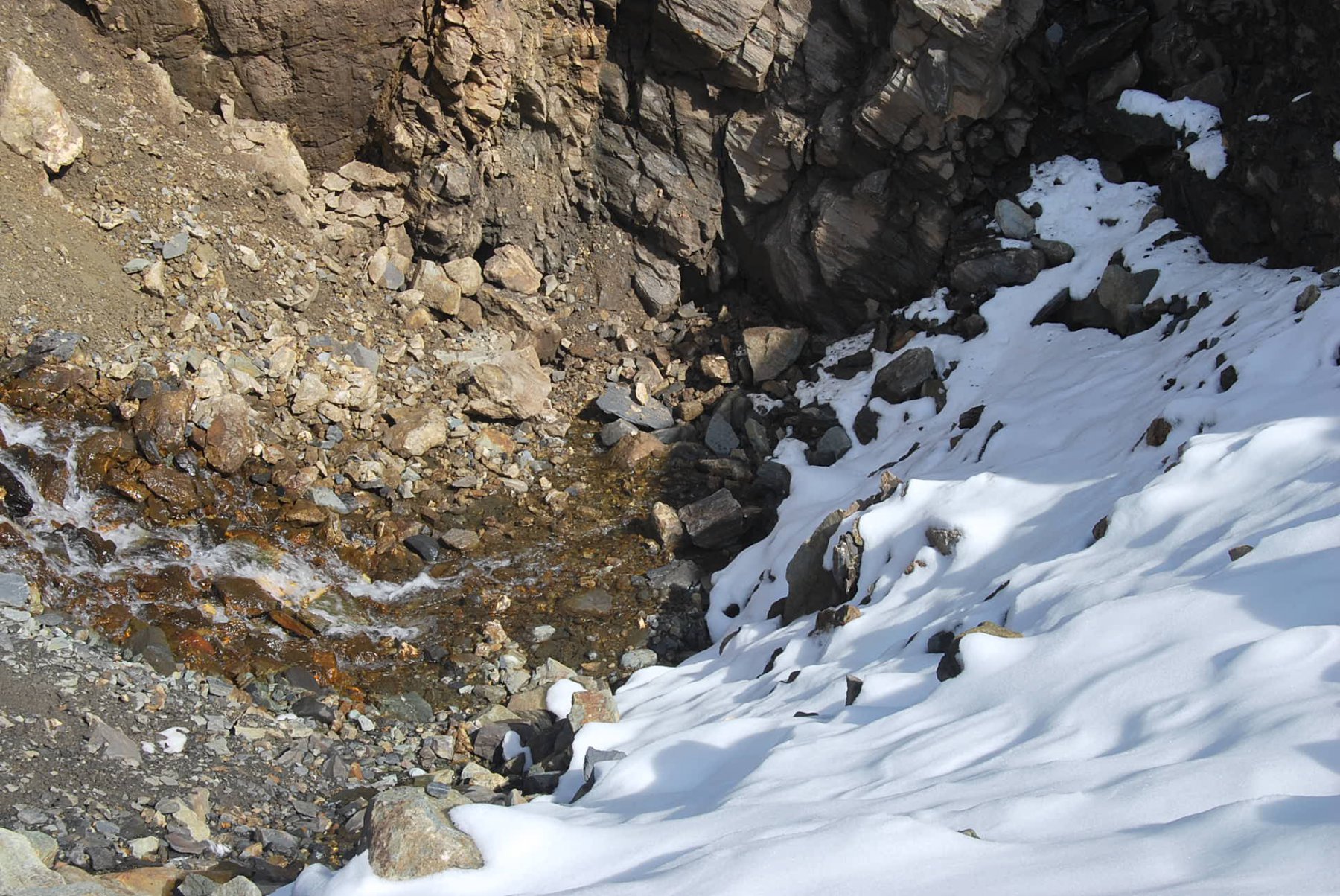
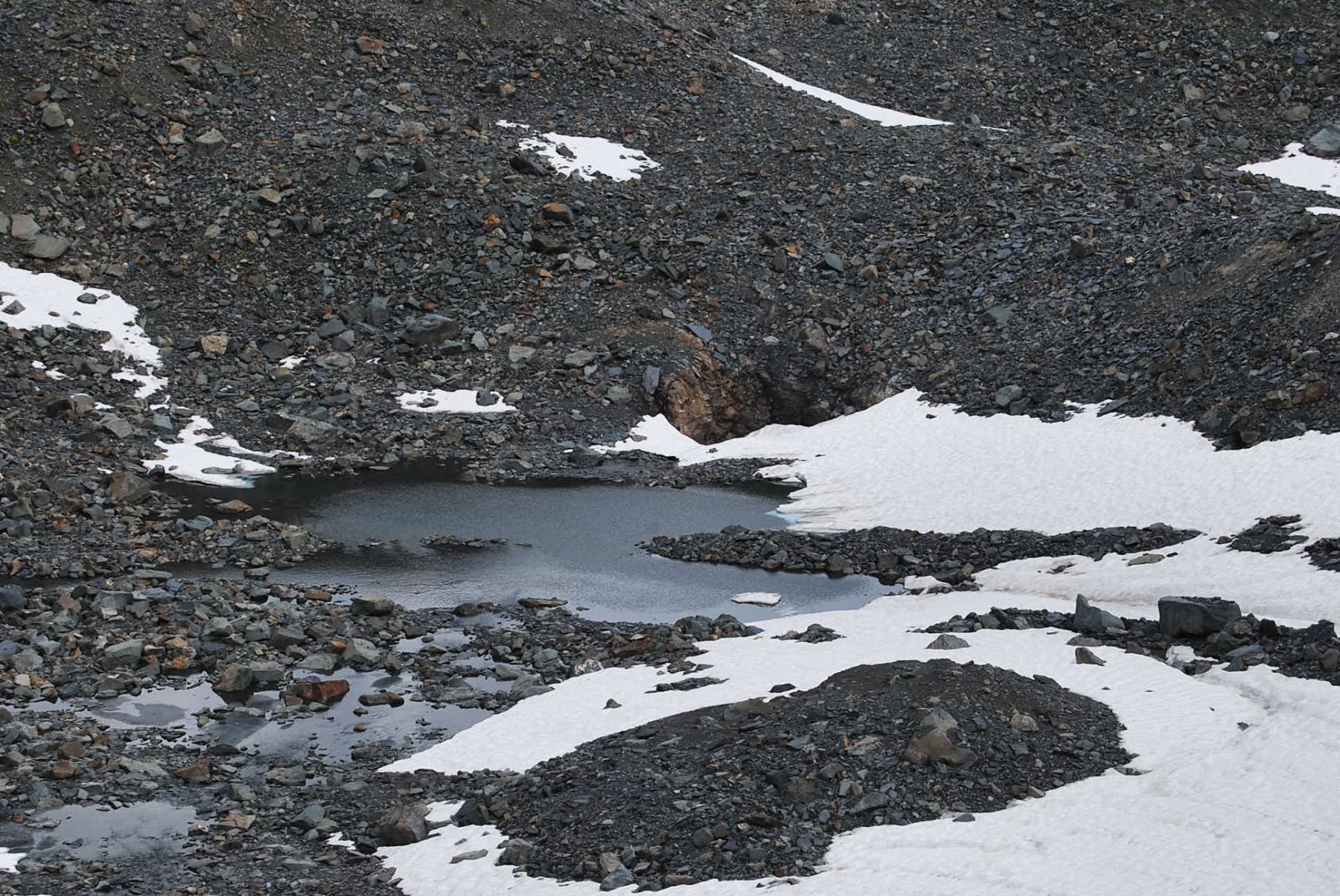
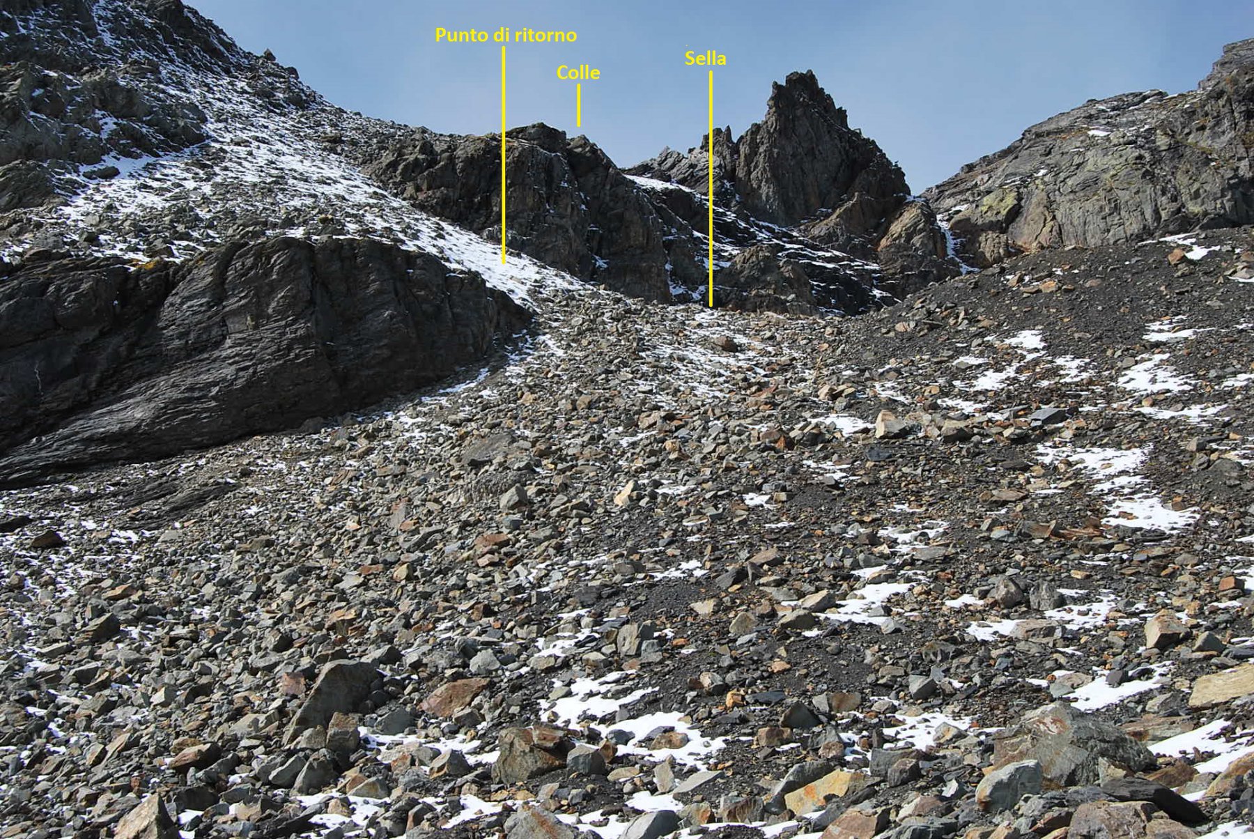
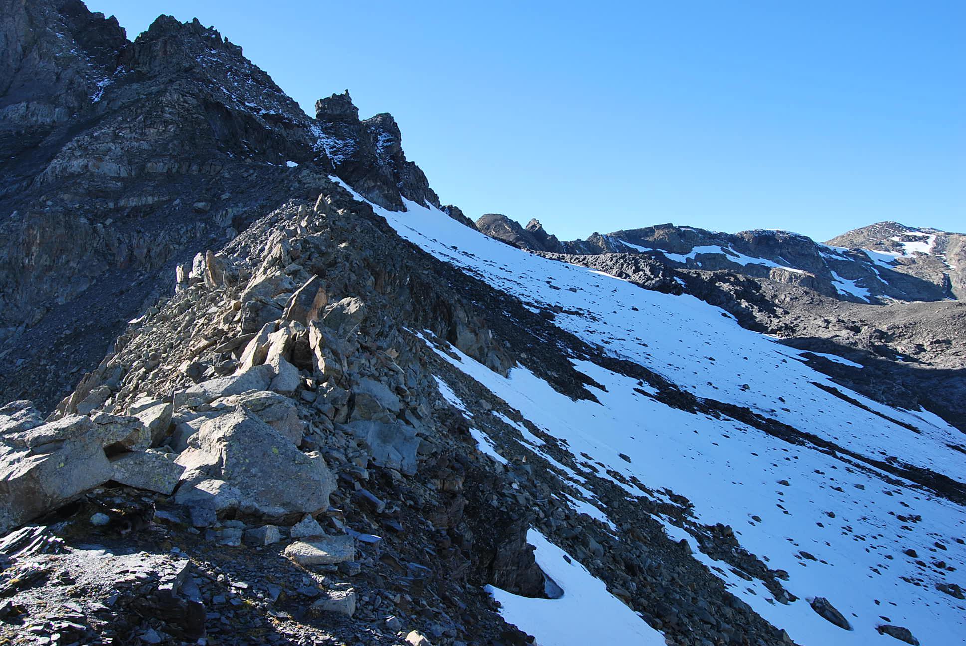
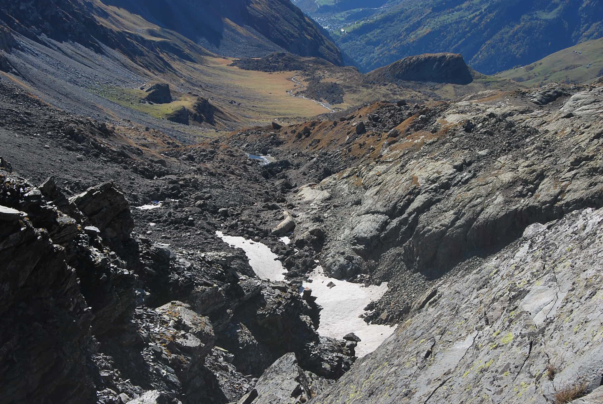
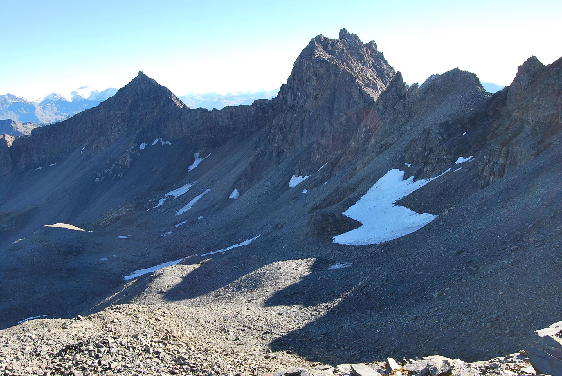
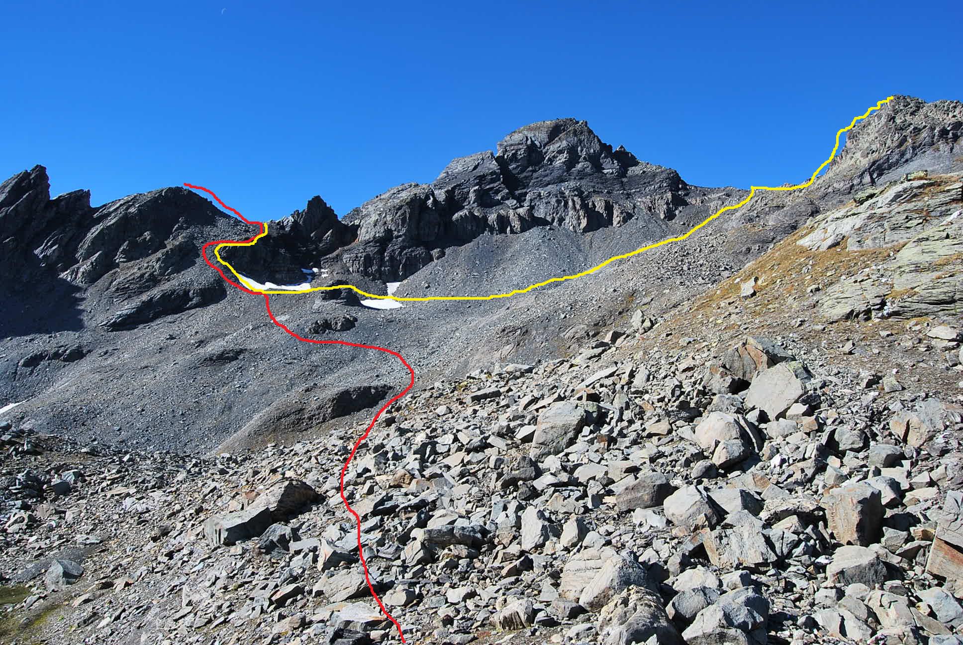
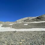
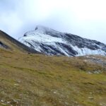
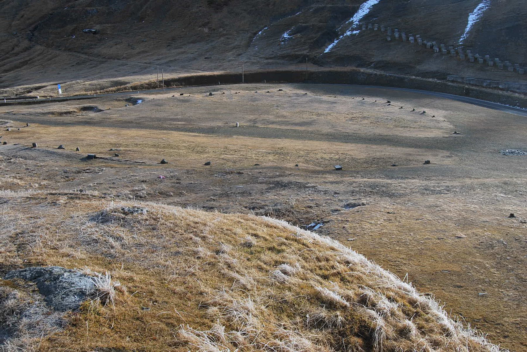
Arrivati al Colle della Pointe Rousse si abbandona il sentiero 14, che adesso scende verso Tormotta, e si prende una traccia verso Ovest (sinistra) che arriva in breve al Lago della Pointe Rousse; si risale il promontorio e qui si vedono le mete cui puntare: il Col des Rousses e la sovrastante Sommet. Qui ogni sentiero scompare, anche se si trovano alcuni ometti che però subito terminano. Puntare allora verso il colle, rimontando o traversando i pendii pietrosi ricercando i tratti di minima pendenza; si deve arrivare ad un crinale oltre il quale si trova un nevaio che dovrebbe essere quel che resta del Ghiacciaio Meridionale dell ‘Hermite. Mantenendosi sul crinale si arriva all’ultimo ripido pendio pietroso sotto il colle; risalire per un tratto la pietraia poi deviare (destra salendo) ad un dosso erboso dove si può finalmente abbandonare la pietraia per salire al colle (2822 m) lungo un comodo percorso fatto di detriti e rocce rotte.
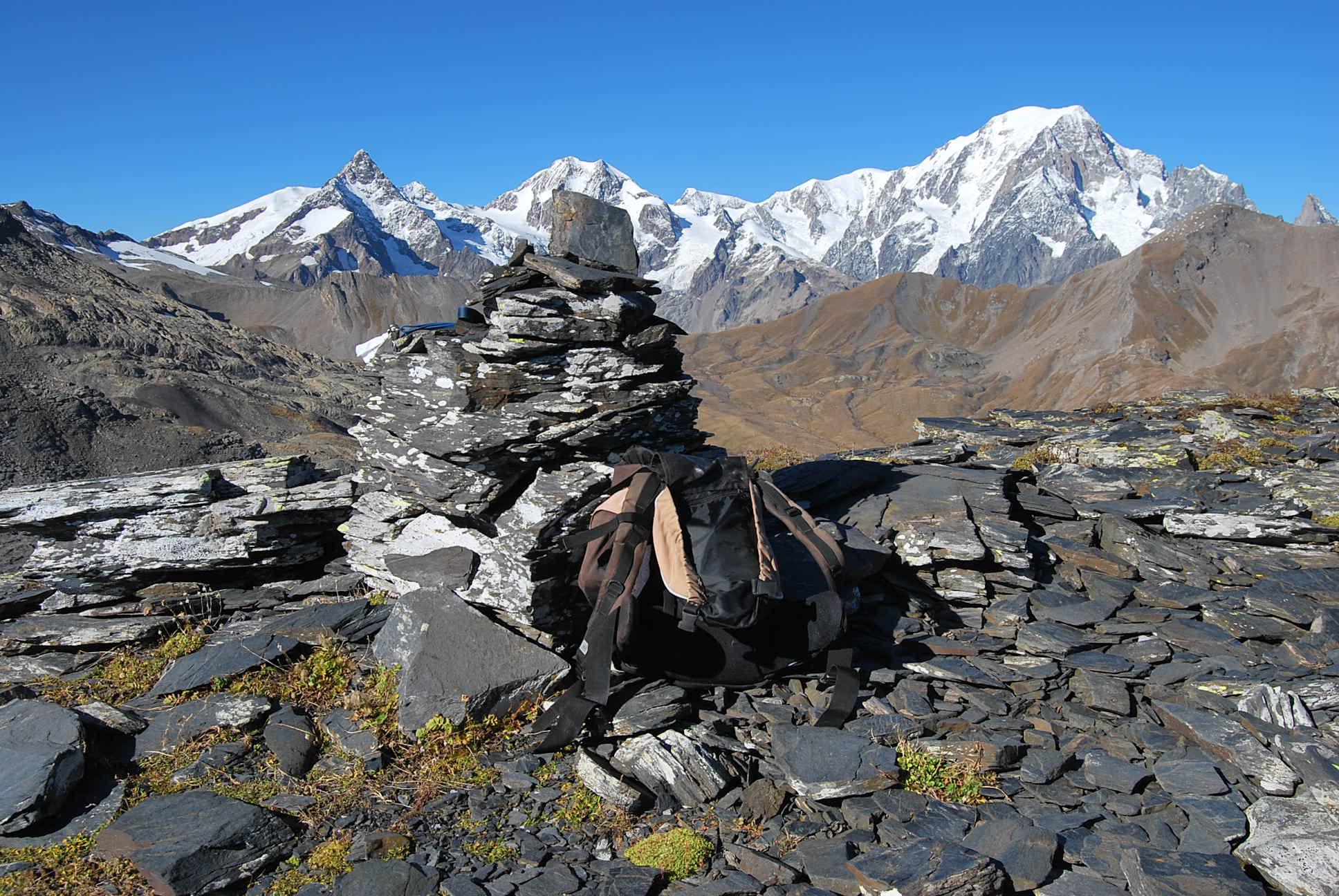
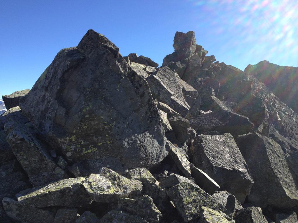
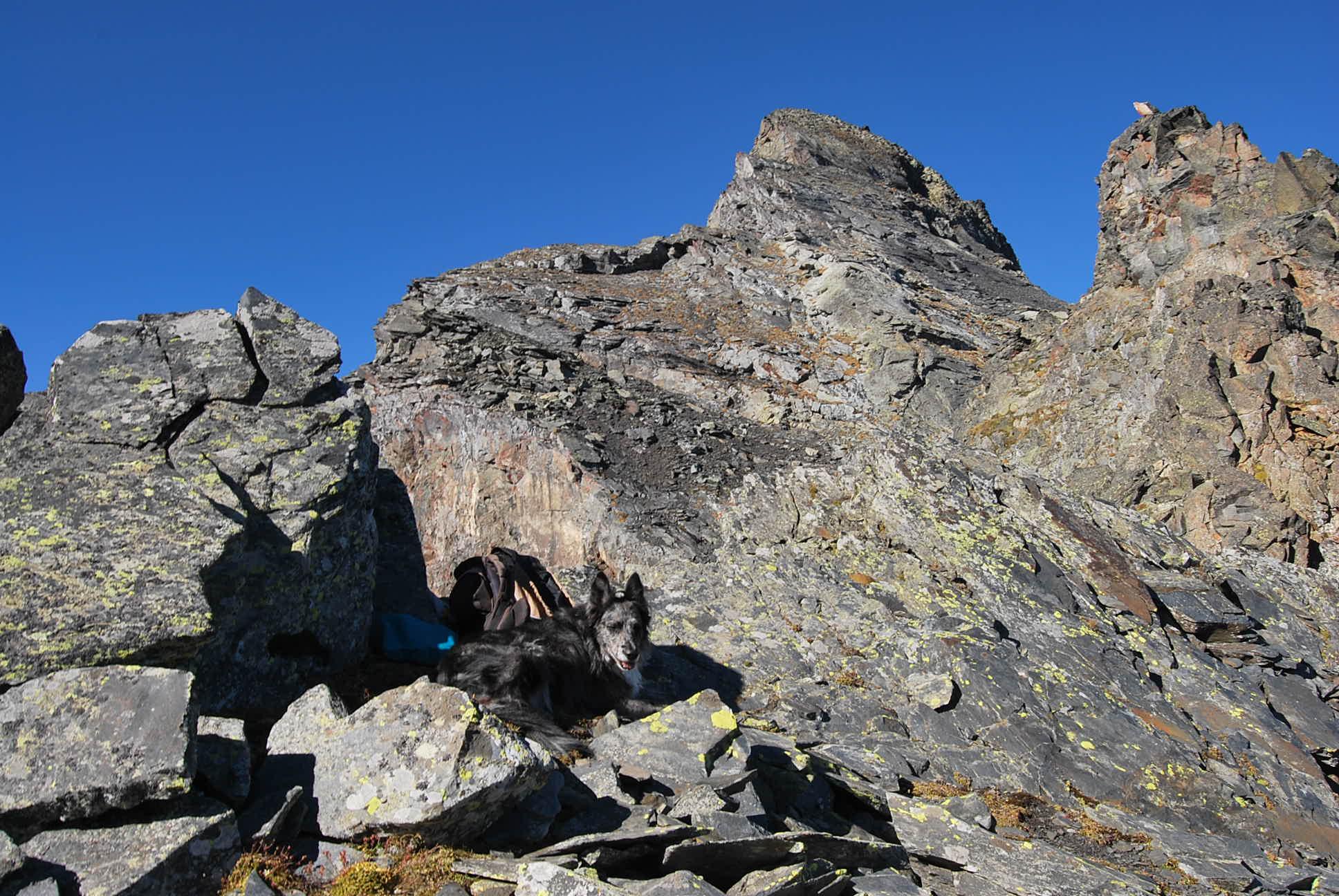
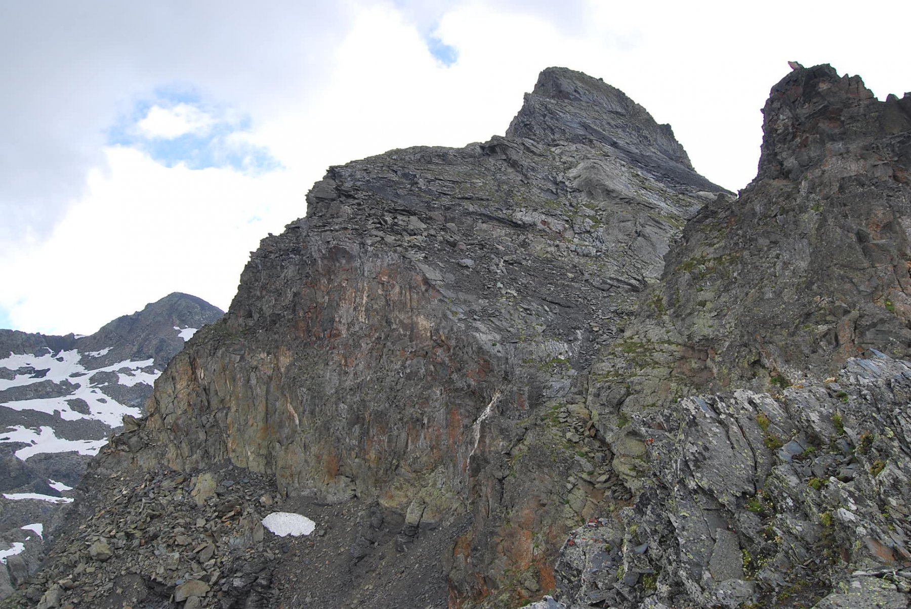
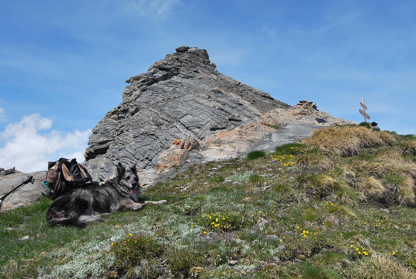
Dal colle, risalendo la cresta di grossi massi e con facili arrampicate, si arriva in breve alla vetta della Sommet des Rousses (2840 m).
La discesa è per lo stesso percorso di salita.
Un’alternativa, visto che se ne notano delle tracce sul ripido pendio, è di scendere sul versante francese nel vallone di Beauprè, ben visibile dal colle; si attraversa tutto il vallone, si risale al Col de Forclaz lungo il sentiero THT (Tour Haute Tarentaise), marcato ma scarsamente segnalato, per poi ridiscendere all’Ospizio al Colle del Piccolo San Bernardo.
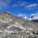
Infine, effettuando un’interessante deviazione, si può scendere fino al crinale che sovrasta il nevaio e poi risalire, sempre su sassi ma con percorso meno faticoso di quello per il colle, fino all’ampia sella a quota 2827 m ad est dell’Aig. de l’Hermite e quindi alla punta quota 2857 m, da cui si domina il Ghiacciaio Settentrionale dell’Hermite.
- Cartografia:
- L’Escursionista, Fg. 01 LaThuile-Haute Tarentaise/1, scala 1:25000; Carta CTR: http://geonavsct.partout.it/pub/geonavsct/index.html
Nelle vicinanze Mappa
Itinerari
30/08/2025 AO, La Thuile D+ 850 m E Sud-Est
Tormotta o Tormottaz dal Lago Verney
 50m
50m
01/09/2006 AO, La Thuile D+ 980 m EE Sud
Fornet (Punta) dal Lago Verney
50m
29/08/2024 AO, La Thuile D+ 1350 m EE Varie
Lechaud (Punta) dal Lago Verney, anello per Vallone di Breuil e Lago Tormotta
 50m
50m
29/06/2026 AO, La Thuile D+ 1200 m EE/F Sud-Est
Miravidi (Monte) e Punta dei Ghiacciai dal Lago Verney
 50m
50m
30/08/2025 AO, La Thuile D+ 800 m E Varie
Bassa Serra (Colle di) dal Lago Verney
 50m
50m
18/08/2025 AO, La Thuile D+ 1050 m EE Varie
Veys (Aiguille) dal Lago Verney
 50m
50m
12/08/2025 AO, La Thuile D+ 850 m EE Varie
Valaisan (Monte) dal Colle del Piccolo San Bernardo, anello
 950m
950m
31/05/2014 Savoie, Séez D+ 258 m E Ovest
Traversette (Col de la) dal Colle del Piccolo San Bernardo
 2.6Km
2.6Km
14/11/2015 Savoie, Séez D+ 734 m EE Varie
Lac Sans Fond (Pointe du) dal Colle del Piccolo San Bernardo
 2.6Km
2.6Km
31/05/2015 Savoie, Séez D+ 615 m EE Nord
Belleface (Roc du) dal Colle del Piccolo San Bernardo
 2.6Km
2.6Km