1.2Km
1.2Km
Note
 50m
1.5Km
1.5Km
1.5Km
1.5Km
2.7Km
2.7Km
50m
1.5Km
1.5Km
1.5Km
1.5Km
2.7Km
2.7Km
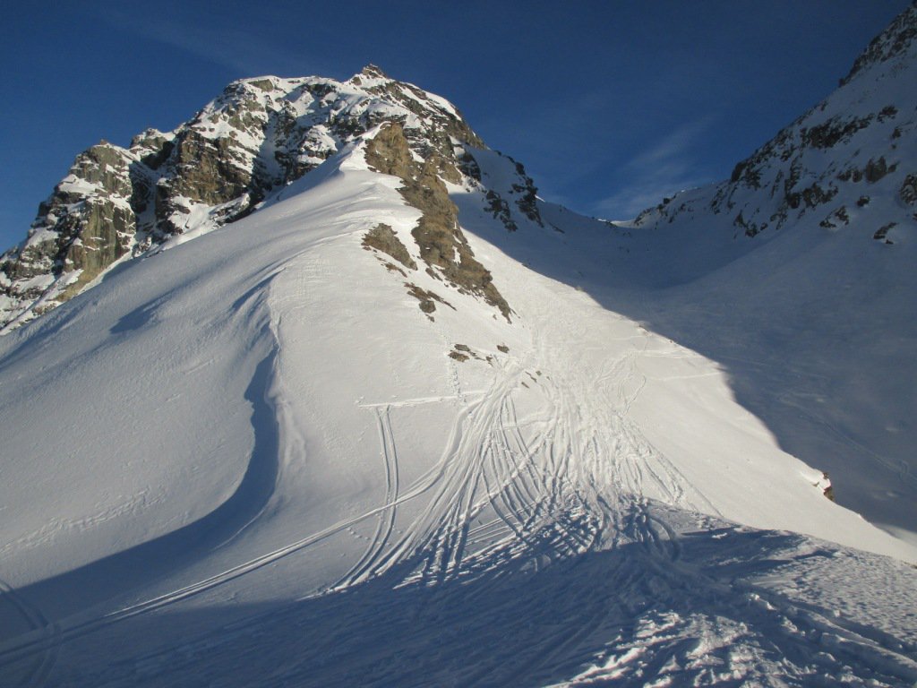
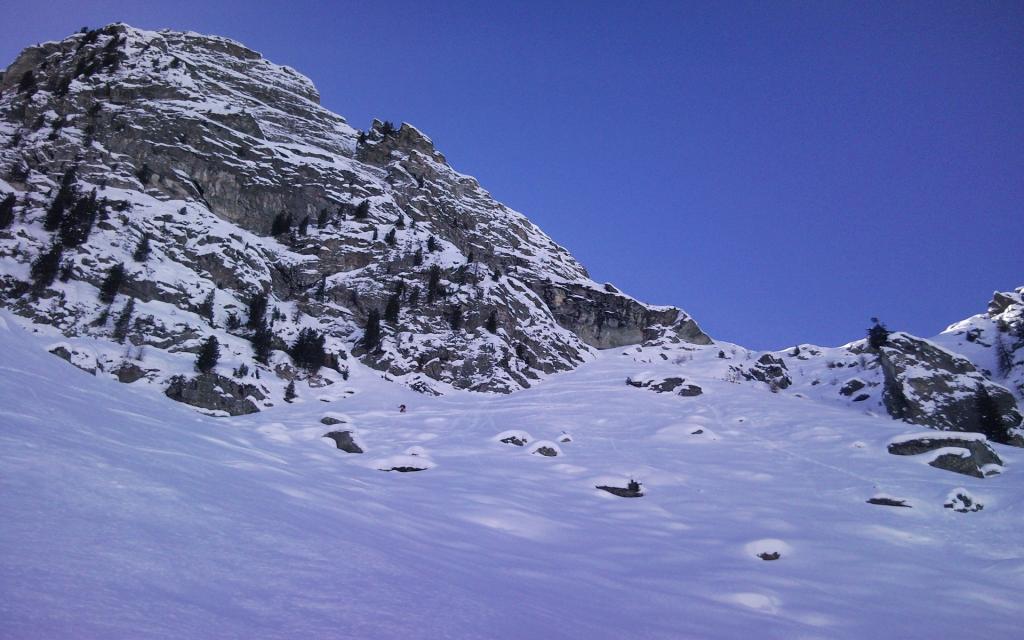
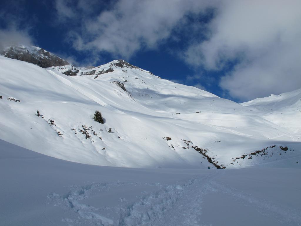
Sorge ben distinto a nord della Testa Grigia e rappresenta la seconda cima per altezza della dorsale fra la Val d'Ayas e la Valle di Gressoney. Attrezzatura: piccozza e ramponi utili in caso di neve dura per il superamento del colle N della Testa Grigia e per la cresta finale. Itinerario dal discreto sviluppo che richiede neve assestata e sicura e buon allenamento, ma che può eventualmente essere accorciato utilizzando gli impianti di risalita.
Avvicinamento
.
Descrizione
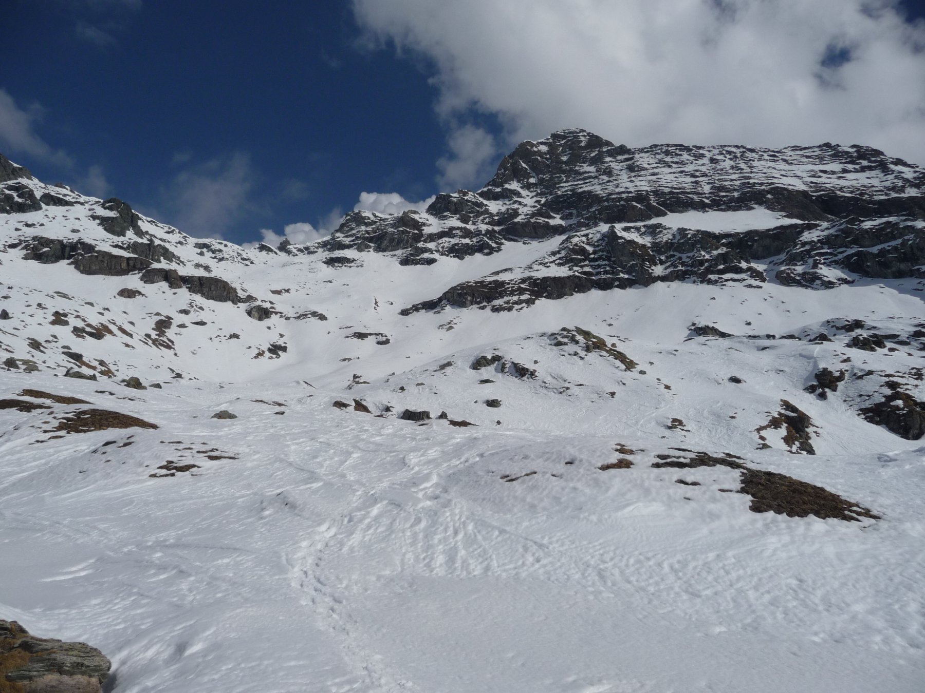
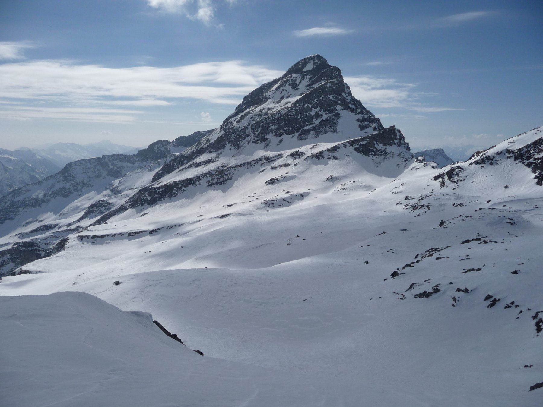
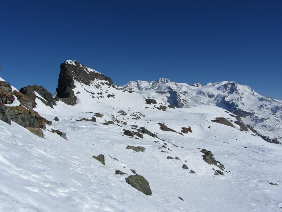
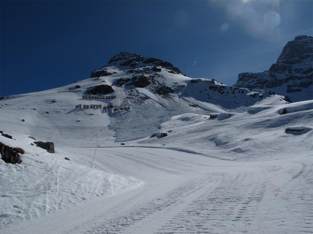
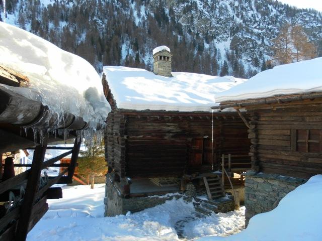
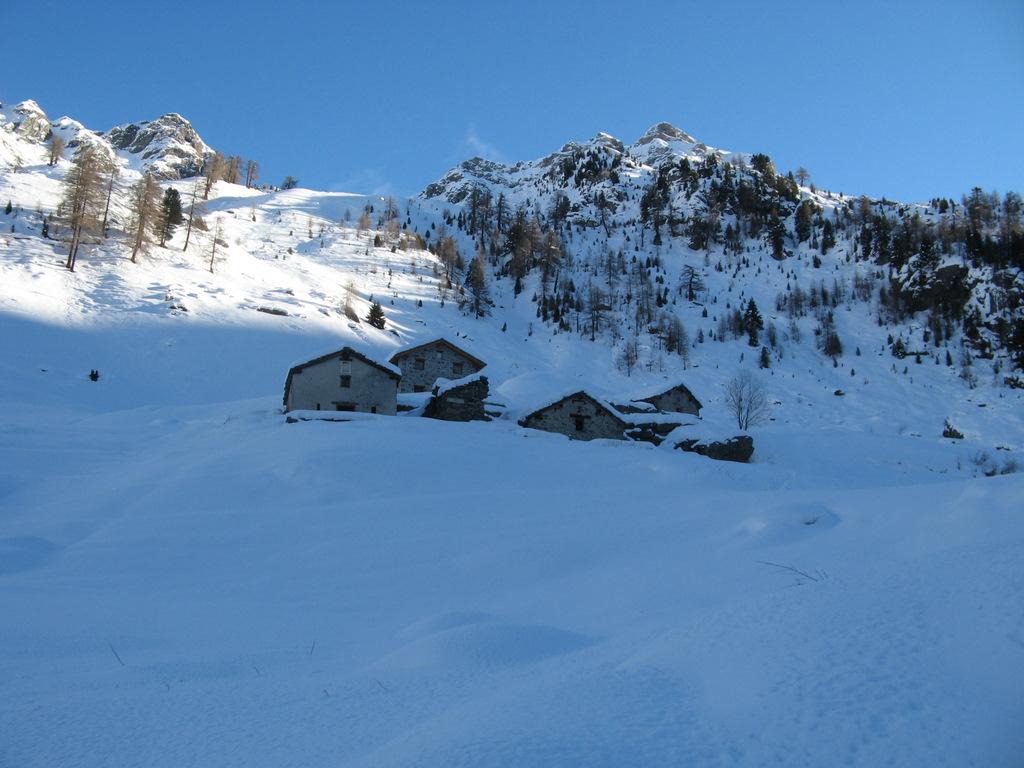
Dai pressi della chiesa di Champoluc imboccare una stradina che risale in mezzo alle case verso oriente e successivamente diviene mulattiera (indicazioni sentiero n. 13). Si sale nel bosco di conifere, si attraversa la pista di discesa si raggiunge il borgo del Crest e poco oltre l’arrivo della cabinovia. Si prosegue costeggiando le piste da sci che scendono da Ostafa in direzione di Cuneaz, quindi si risale verso NE parallelamente agli impianti puntando all’evidente colle a N della Testa Grigia, che si raggiunge per ripidi pendii. Sul lato orientale si apre un vasto altopiano, si punta ora verso N costeggiando con un lungo traverso in piano la cresta meridionale del Rothorn che appare torreggiante sullo sfondo. Si attraversa il versante SE e si raggiunge la cresta ENE nei pressi di un paletto di metallo. Qui si lasciano le racchette e seguendo l’ampia cresta (ometti), superato un salto roccioso per un facile canalino, si raggiunte prima un’anticima, quindi la cima contrassegnata con un segnale di pietre.
Discesa lungo l’itinerario di salita.
- Cartografia:
- IGC 1:25.000 n.108 Cervino Matterhorn Breuil Cervinia Champoluc
Nelle vicinanze Mappa
Itinerari
25/04/2013 AO, Ayas D+ 1157 m MR Varie
Sarezza (Colle) da Champoluc
 50m
50m
02/04/2018 AO, Ayas D+ 1530 m BR Nord-Ovest
Gran Cima e Punta Perrin da Champoluc, anello valloni Mascognaz e Cuneaz
 1.5Km
1.5Km
05/01/2011 AO, Ayas D+ 900 m BRA, F Varie
Nonna (Costa di) da Champoluc, anello per Mascognaz e Cuneaz
 1.5Km
1.5Km
21/03/2015 AO, Ayas D+ 400 m MR Sud
Mascognaz (Villaggio) da Champoluc
 1.5Km
1.5Km
26/02/2007 AO, Ayas D+ 987 m MR Nord
Perrin (Col) da Champoluc per il Vallone di Mascognaz
1.5Km
16/02/2013 AO, Ayas D+ 921 m MR Sud-Ovest
Nonna (Costa di) da Champoluc
 1.5Km
1.5Km
28/03/2018 AO, Ayas D+ 765 m MR Sud-Est
Vascoccia (Colle) da Mandriou
 2.7Km
2.7Km
27/02/2025 AO, Ayas D+ 800 m MR Sud-Est
Facciabella (Monte) da Mandriou per il Colle di Vascoccia
 2.7Km
2.7Km
24/12/2014 AO, Ayas D+ 1200 m BRA, F+ Sud
Nana (Bec di) o Falconetta da Mandriou per la dorsale Sud
2.7Km
21/05/2017 AO, Ayas D+ 1550 m BR Varie
Gran Sometta da Saint Jacques per il Colle Inferiore delle Cime Bianche
3.5Km