4.1Km
4.1Km

Note
 1.5Km
2Km
4.8Km
4.8Km
7.3Km
7.4Km
7.4Km
7.4Km
1.5Km
2Km
4.8Km
4.8Km
7.3Km
7.4Km
7.4Km
7.4Km
4.1Km
4.1Km
4.2Km
4.5Km
6.8Km
7.1Km
7.4Km
7.4Km
7.4Km
7.5Km
oltre 1000m di dislivello di portage con alcuni passaggi tecnici ed esposti
Avvicinamento
Partenza da Borgata di Sestriere.
Descrizione
Partenza dal Camping Chisonetto situato a Borgata di Sestriere a quota 1800 m circa.
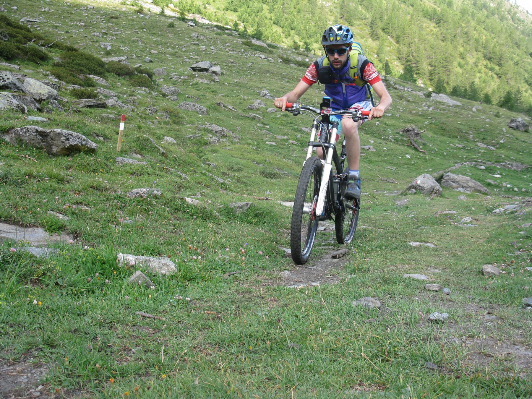
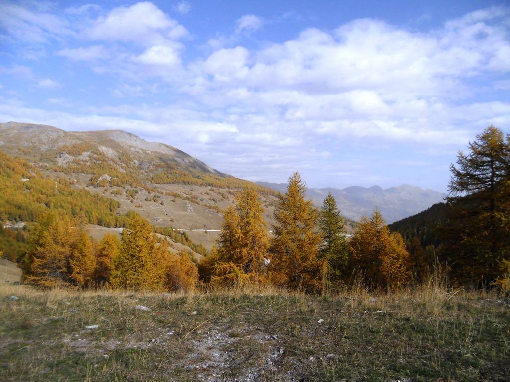
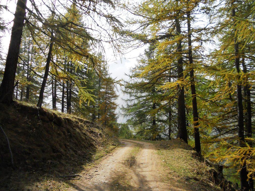
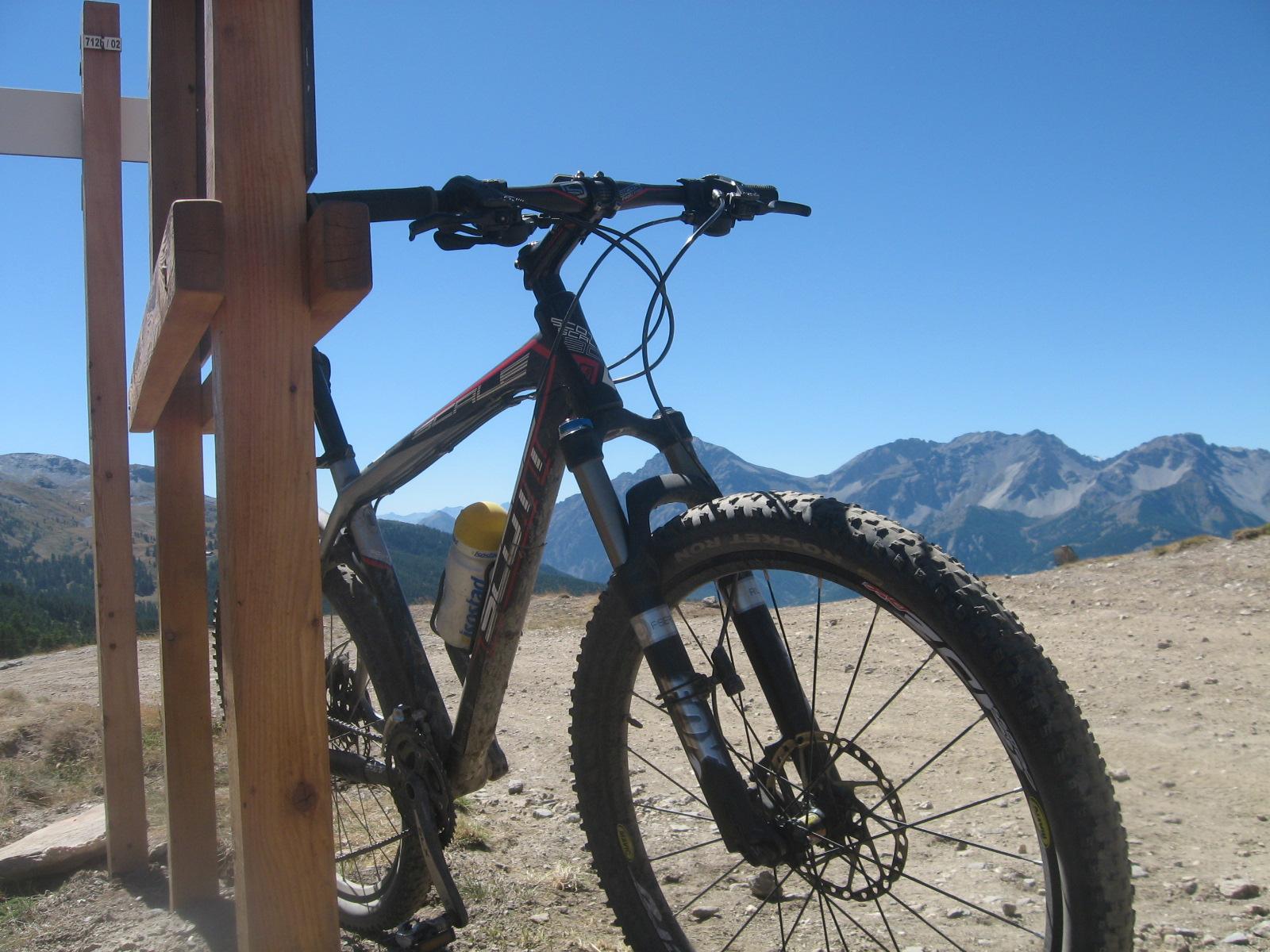
Risalire la sterrata che seguendo le piste da sci porta al Colle. Qui svoltare a sinistra e seguire sempre le indicazioni per il Rifugio Monte Alpette che si raggiunge in circa un’ora di pedalata (le ultime rampe -1,4 km – presentano tratti al 26%).
Da qui, armati di molta pazienza caricare la bici in spalla per un primo tratto di portage fisico (poco più di 300 m di dislivello) risalendo le ripide piste da sci fino al Monte Sises 2658 m.
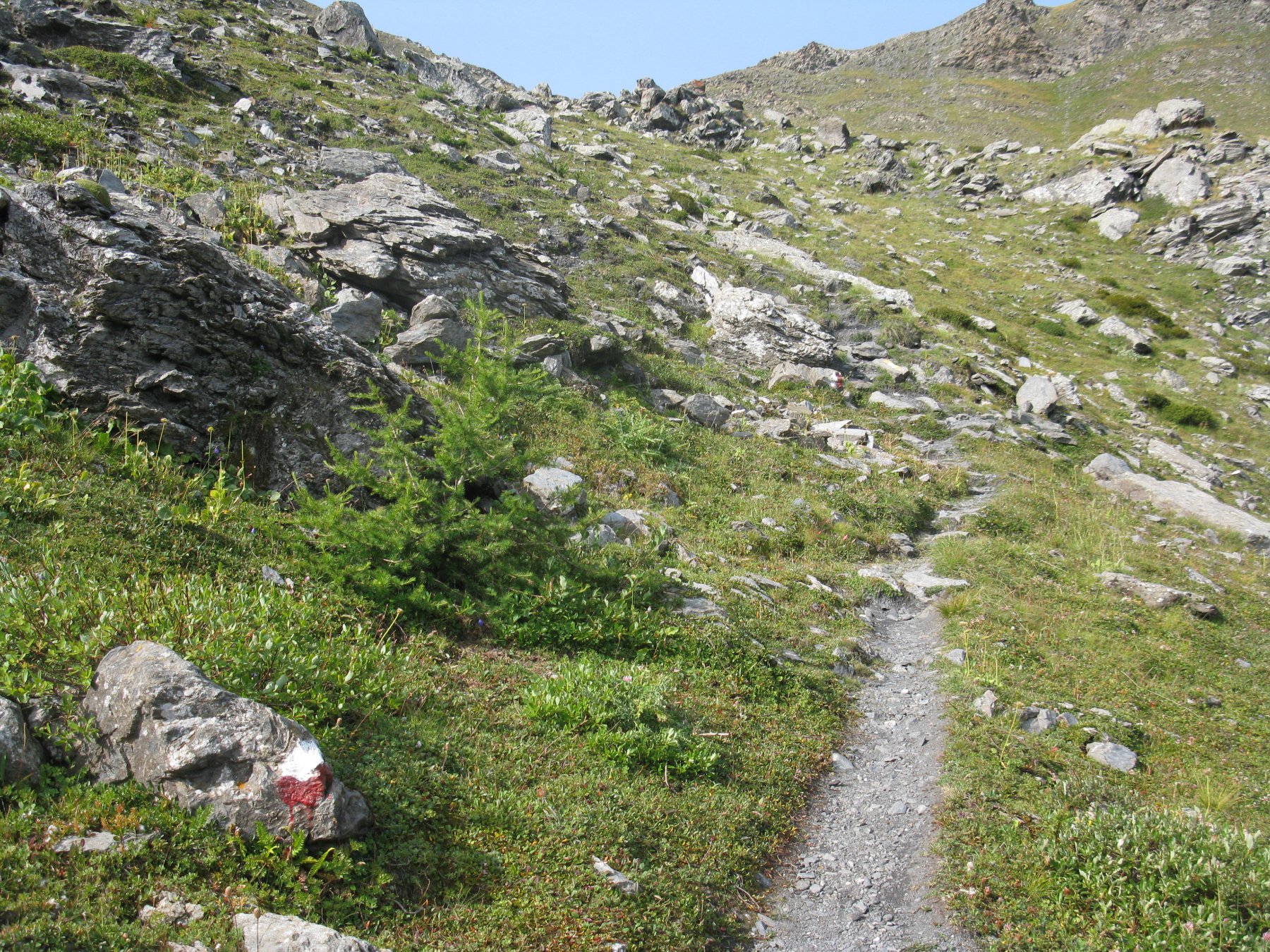
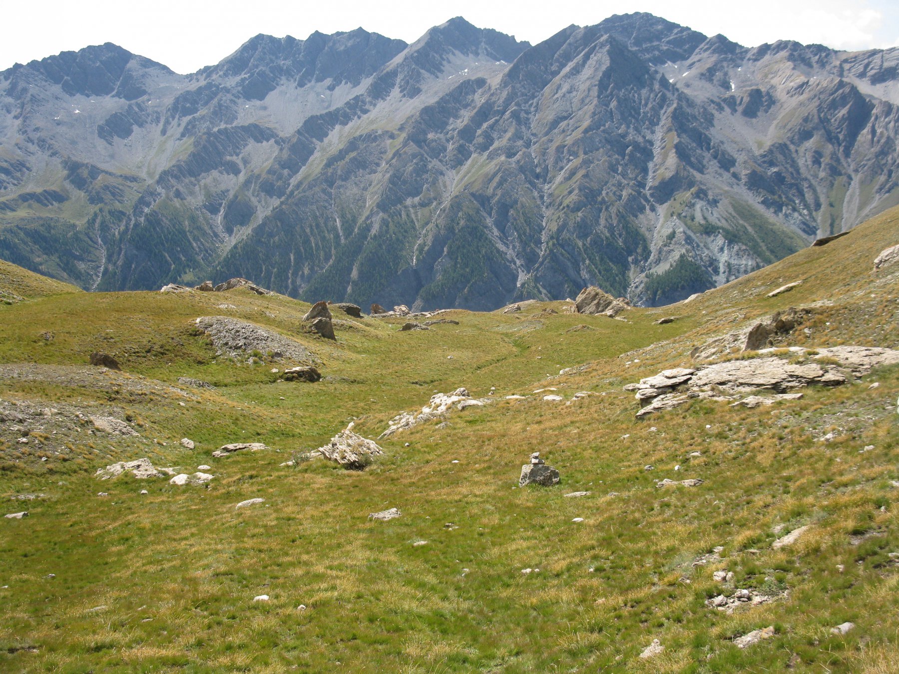
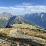
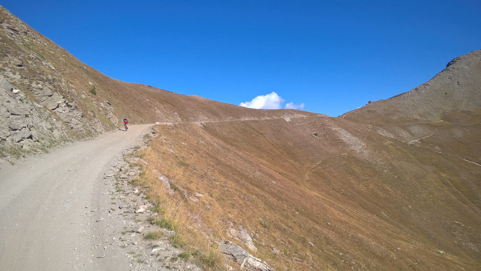
Inizia qui un bel traverso, per qualche tratto ciclabile, che restando sul versante sud-ovest ci permette di raggiungere il Passo Giacomo 2639 m.
Da qui il sentiero si snoda sul filo di cresta con tratti lievemente esposti ma mai banali da affrontare con la bici in spalla o al fianco. Occorre prestare sempre molta attenzione e soprattutto se soli, alcuni tratti risultano non banali da superare.
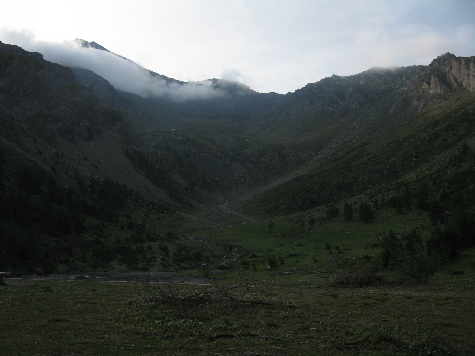
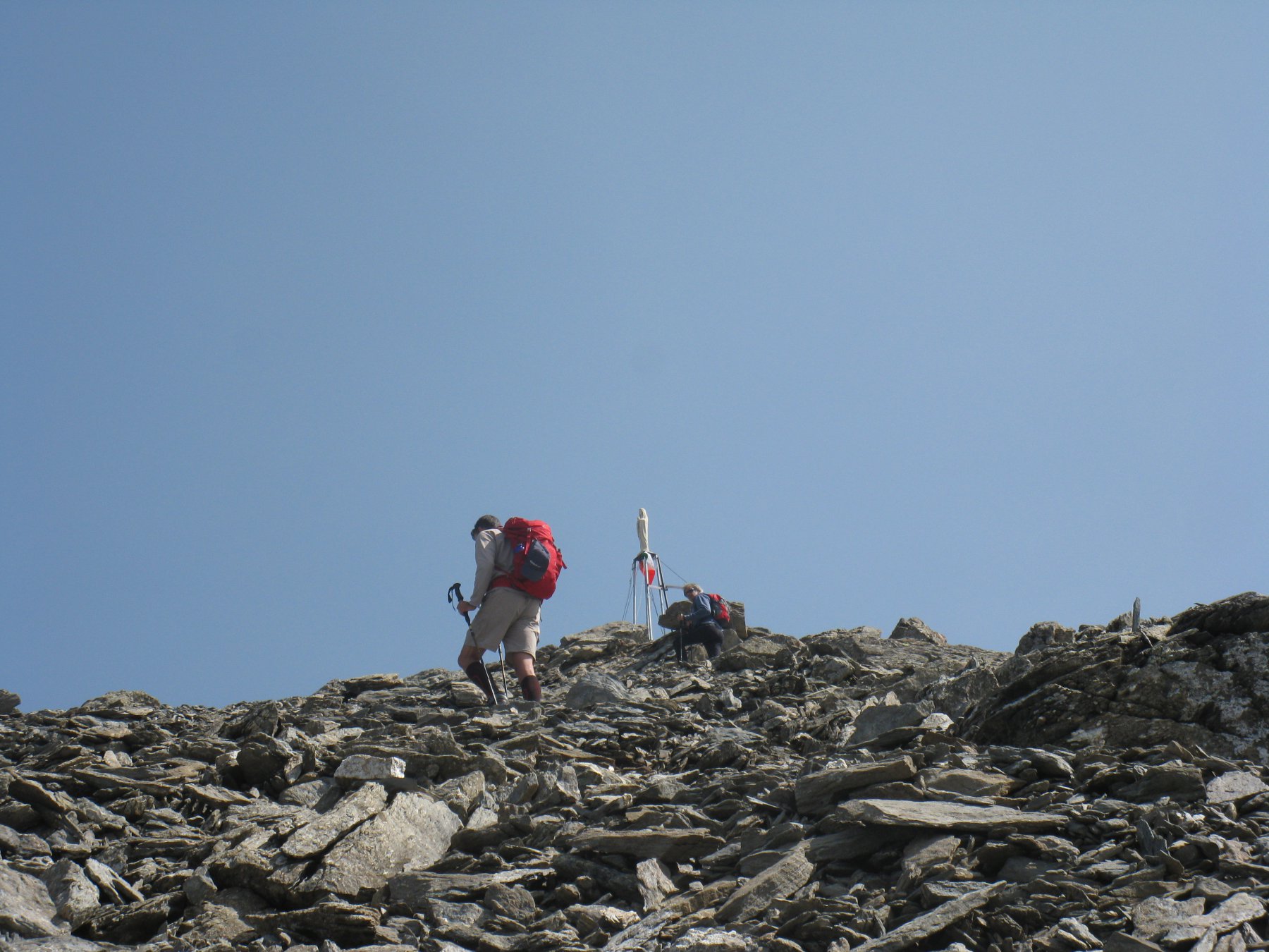
Si continua quindi a risalire aggirando le rocce di San Giacomo e imboccando una ripida pietraia si raggiunge il colle del Monte Sotto Rognosa a quota 3016 m.
Una breve sosta per rifiatare e inizia l’ultima rampa di sentiero per raggiungere la vetta.
Discesa:
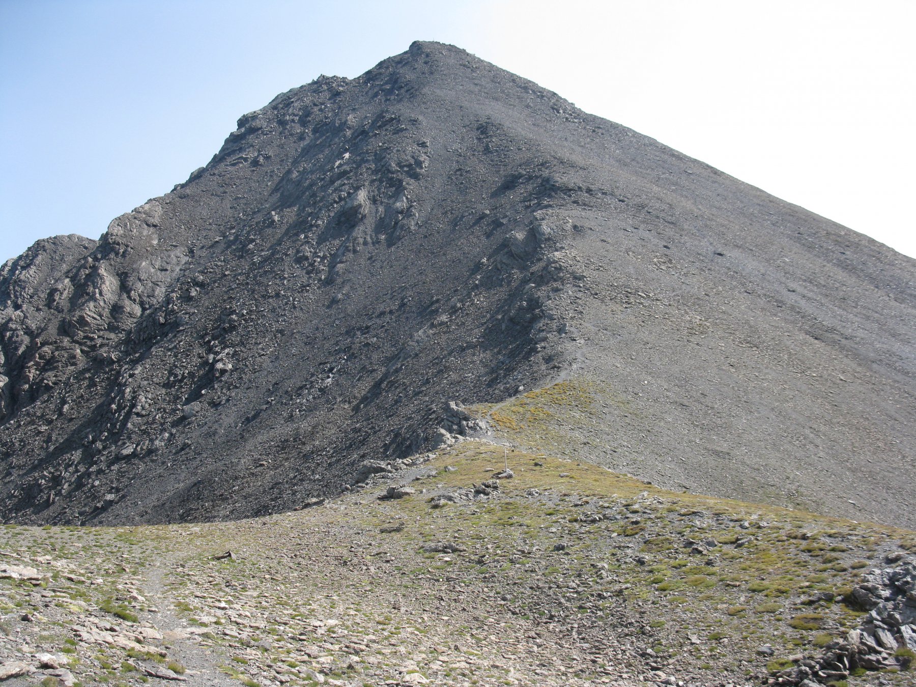
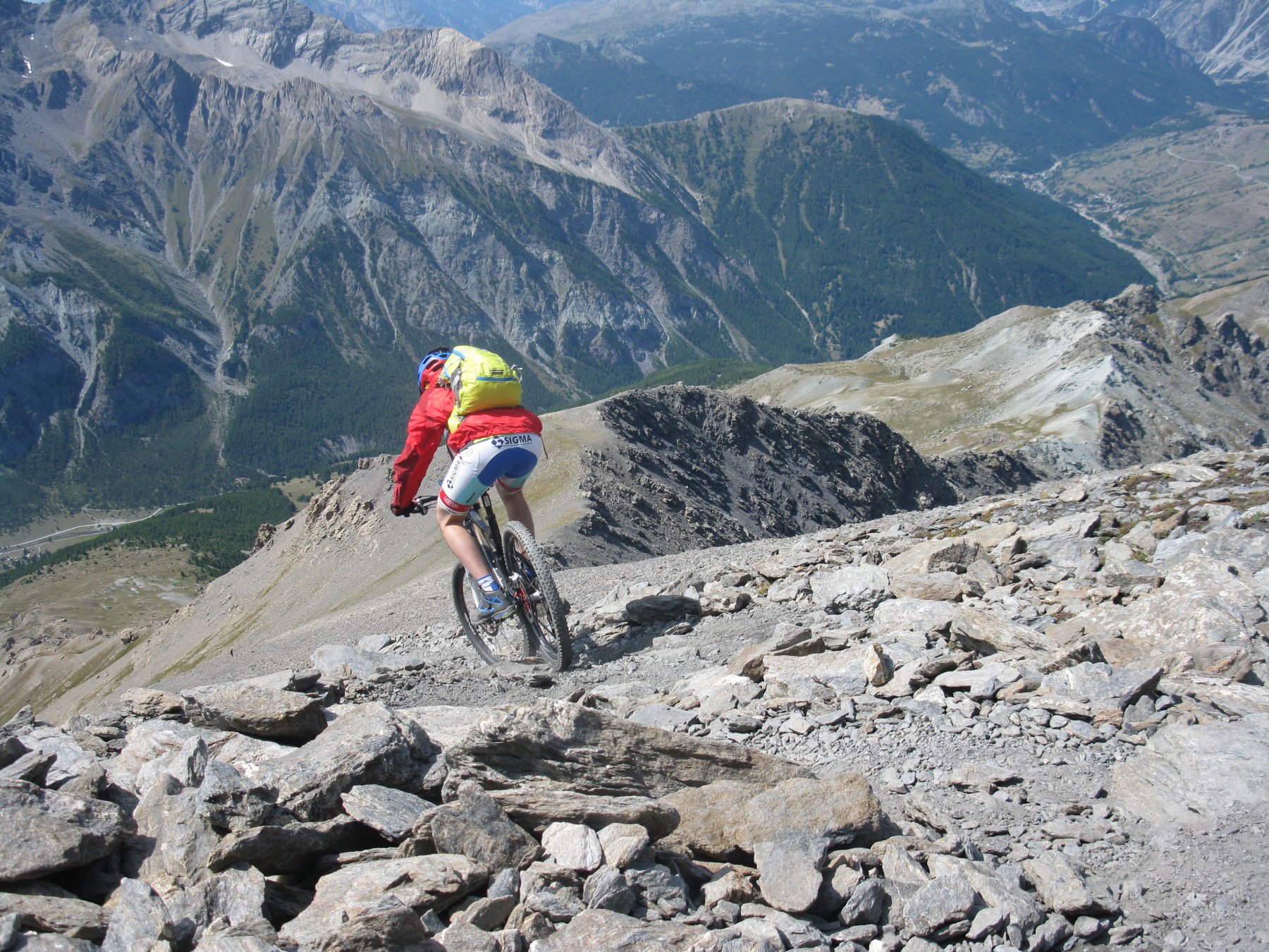
I primi 100mt sono i più duri (S4 continuo, tornanti stretti e fondo non sempre molto grippante) poi le difficoltà calano (S2-3) per diventare più semplice in prossimità del colle (S2);
Raggiunto il colletto a quota 3000 lasciare la traccia di salita e imboccare le tracce di sentiero in direzione Valle Argentera (S2, tratti S4).
Ripidi tornanti tecnici su fondo ghiaioso fanno velocemente perdere quota (attenzione che il sentiero, o la sua ombra è largo poco più di un palmo!) portandoci in poco tempo in uno splendido vallone sospeso costellato di fiori e camosci.
Qui la traccia di sentiero si perde e occorre fare attenzione seguendo qualche ometto e districandosi fra prati e roccette.
Con buona visibilità non ci sono problemi poichè si vede sempre a valle la meta da raggiungere ma in caso di nebbia occorre fare molta, molta attenzione anche se non sembrano esserci evidenti barre rocciose che possono causare seri pericoli.
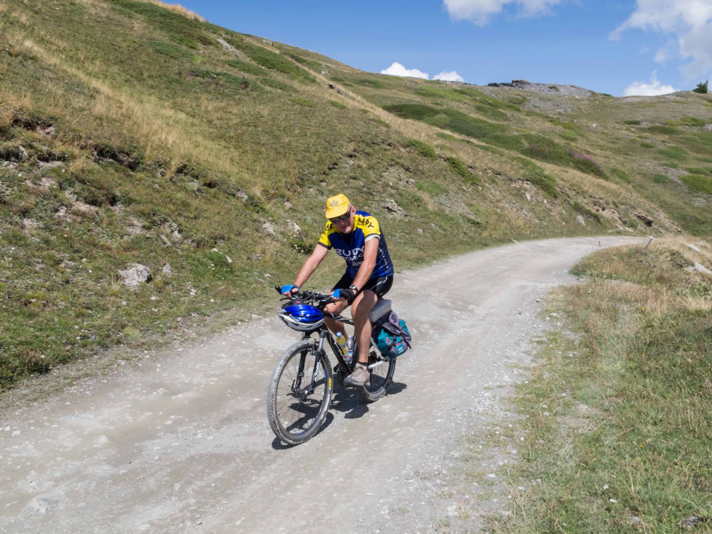
Si raggiunge così la sterrata forestale in località 7 Fontane e si prosegue in direzione Bessen Haut.
Per tornare al punto di partenza occorre proseguire fino al paese sopra citato per poi andare al Colle del Sestriere e scendere a Borgata lungo la via di risalita.
- Cartografia:
- Fraternali editore - 2. Alta Valle Susa Alta Val Chisone Carta sentieri e stradale 1:25.000 Cesana, Claviere, Sestriere, Sauze di Cesana, Pragelato, Usseaux, Sauze d'Oulx, Oulx, Montgenèvre
Nelle vicinanze Mappa
Itinerari
10/08/2021 TO, Cesana Torinese D+ 700 m MC+, BC, S1 Sud
Fraiteve (Monte) da Sestriere per il Col Basset
 1.5Km
1.5Km
18/09/2021 TO, Sestriere D+ 800 m OC, MC+, S0 Nord-Ovest
Banchetta (Monte) da Sestriere
 2Km
2Km
24/07/2022 TO, Sauze di Cesana D+ 1650 m MC+, EC, S5 Varie
Pelvo (Colle del) da Sauze di Cesana, traversata Valle Argentera – Val Thuras
 4.8Km
4.8Km
07/07/2024 TO, Sauze di Cesana D+ 600 m MC, MC, S1 Varie
Gran Miol (Bergerie) e Rifugio Alpe Plane da Sauze di Cesana per la Valle Argentera
 4.8Km
4.8Km
04/08/2024 TO, Sauze di Cesana D+ 2200 m OC+, EC, S4 Tutte
Frappier, Abriès, Mayt (Colli) dalla Valle Argentera, giro
5.1Km
22/06/2008 TO, Pragelato D+ 1400 m BC+, BC+, S2 Tutte
Troncea (Rifugio) da Pragelato, giro
7.3Km
18/06/2022 TO, Pragelato D+ 880 m MC+, MC+, S1 Nord-Ovest
Soma (Clot della) da Pragelato
 7.3Km
7.3Km
31/10/2024 TO, Sauze d'Oulx D+ 1240 m MC, BC, S1 Nord
Gran Costa (Monte) da Sauze d’Oulx, giro
 7.4Km
7.4Km
02/09/2018 TO, Sauze d'Oulx D+ 745 m MC+, MC+, S2 Sud-Ovest
Assietta (Colle dell’) da Sauze d’Oulx
 7.4Km
7.4Km
29/06/2026 TO, Sauze d'Oulx D+ 1310 m BC, TC, S0 Tutte
Genevris (Monte) da Sauze d’Oulx, Via dei Saraceni
 7.4Km
7.4Km
Servizi
4.1Km
4.1Km
Al Mulino Ristorante
Pragelato
4.2Km
Misun La Font Ristorante
Sauze di Cesana
4.5Km
Mulino di Laval Rifugio
Pragelato
6.8Km
Refugium – ex. Rif. Belotte Rifugio
Pragelato
7.1Km
Troncea Rifugio
Pragelato
7.4Km
orto del frate Ristorante
Sauze d'Oulx
7.4Km
paddy mc ginty Ristorante
Sauze d'Oulx
7.4Km
L’Cantun B&B
Sauze D'oulx
7.5Km