 200m
200m
Note
 50m
50m
50m
50m
2.9Km
2.9Km
2.9Km
2.9Km
2.9Km
50m
50m
50m
50m
2.9Km
2.9Km
2.9Km
2.9Km
2.9Km
200m
200m
200m
3.3Km
5Km
6Km
6.6Km
7.8Km
7.8Km
9.4Km
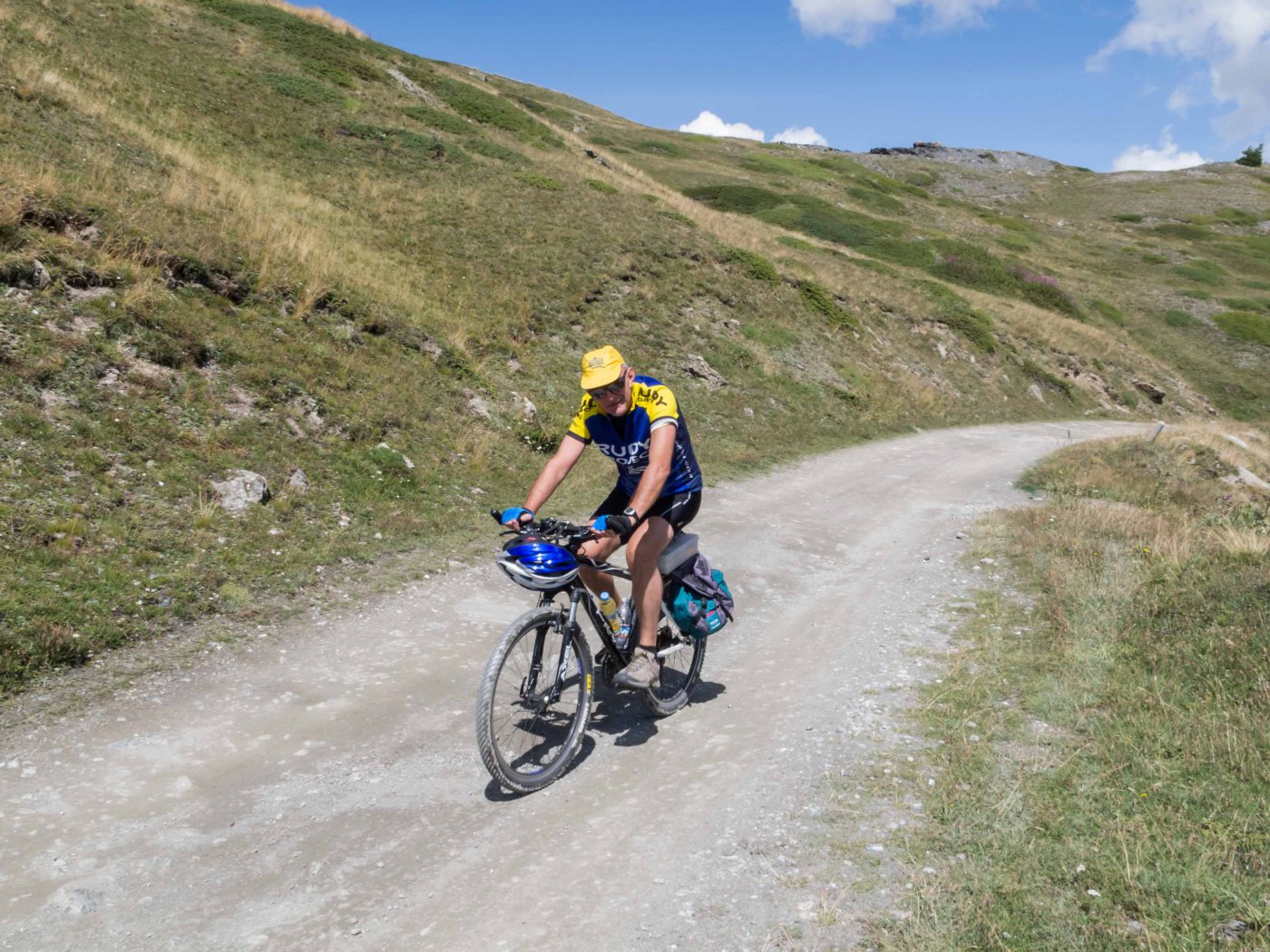
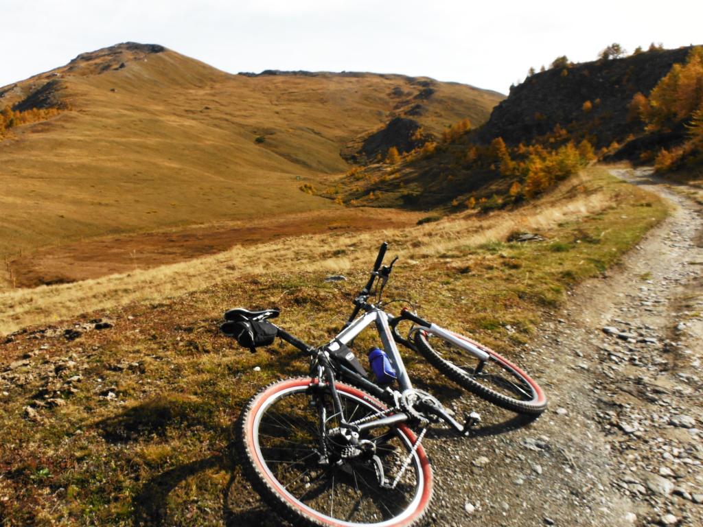
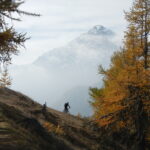
Bellissimo circuito, sia in mezzo a boschi integri e sia con transiti su terreni panoramici (strada di cresta) ad ampio respiro.
Avvicinamento
.
Descrizione
Dalla frazione Richardette, sopra Sauze d’Oulx, si segue la starda verso l’Istituto Sperimentale Alpino fino ad un bivio (deviazione a sinistra) con indicazione Enfers – Parco Gran Bosco di Salbertrand.
Si prende tale deviazione fino ad incontrare la starda sterrata proveniente da Monfol e diretta al colle Blegier. Si prosegue di buona lena fino ad incontrare la deviazione, sempre sulla sinistra. contrassegnata con Strada dei Cannoni – Colle Assietta, la si prende e con un lungo diagonale (qulche pezzo portare la bicicletta a mano) si arriva ad incontrare la GTA (Grande Traversata delle Alpi) proveniente dalla sottostante frazione di Montagne Seu.
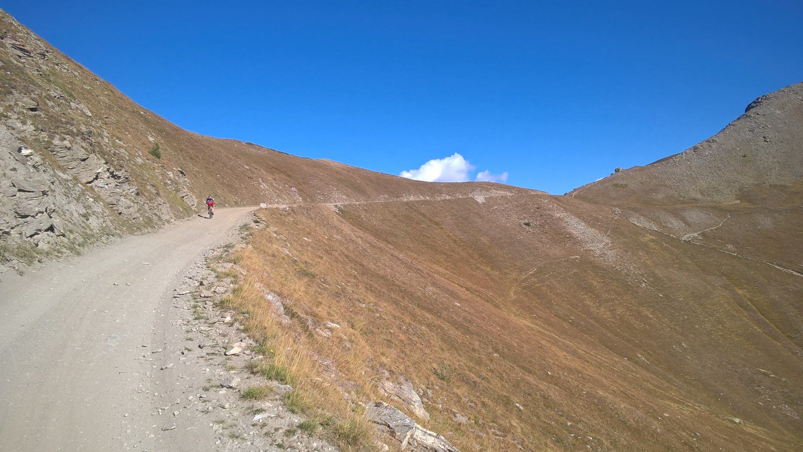
Si prosegue e si arriva dopo circa mezz’ora ad incontrare la strada sterrata di cresta. Girando a sinistra si perviene (venti minuti) al colle dell’Assietta (poco prima si incontra il nuovo rifugio dell’Assietta in basso a destra in prossimità di un piccolo lago).
A questo punto si ripercorre a ritroso la strada principale, transitando per il colle Lauson fino ad arrivare al colle Blegier. Da qui si prende la bellissima sterrata che scende sulla destra fino ad incontrare dapprima la deviazione già fatta per la strada dei cannoni, quindi quella per ritornare ad Enfers e concludere il giro a Richardette.
Tempo di percorrenza 3 – 3,5 ore.
Nelle vicinanze Mappa
Itinerari
31/10/2024 TO, Sauze d'Oulx D+ 1240 m MC, BC, S1 Nord
Gran Costa (Monte) da Sauze d’Oulx, giro
 50m
50m
29/06/2026 TO, Sauze d'Oulx D+ 1310 m BC, TC, S0 Tutte
Genevris (Monte) da Sauze d’Oulx, Via dei Saraceni
 50m
50m
28/07/2024 TO, Sauze d'Oulx D+ 1100 m BC+, BC, S1 Varie
Assietta (Testa dell’) da Sauze d’Oulx
 50m
50m
09/07/2023 TO, Sauze d'Oulx D+ 1300 m MC, BC, S1 Varie
Basset (Col) da Sauze d’Oulx, anello per Sestriere e San Sicario
 50m
50m
21/10/2007 TO, Oulx D+ 750 m MC, MC Varie
Vazon, Chateau Beaulard, Beaulard da Oulx, giro
 2.9Km
2.9Km
16/08/2015 TO, Oulx D+ 2400 m OC, OC+, S3 Varie
Chaberton (Monte) da Oulx a Claviere per Madonna del Cotolivier e il Lago Desertes ITINERARIO NON PERCORRIBILE
 2.9Km
2.9Km
17/08/2011 TO, Oulx D+ 2100 m OC, OC+, S3 Tutte
Etiache (Col d’) da Oulx, giro per Rifugio Scarfiotti, decauville e Forte Foens
2.9Km
24/10/2020 TO, Oulx D+ 770 m BC, TC, S0 Sud-Ovest
Desertes, Vazon, Lozet (Borgate) da Oulx, giro
 2.9Km
2.9Km
20/06/2026 TO, Oulx D+ 1055 m MC, BC, S1 Sud-Est
Madonna del Cotolivier (Cappella) da Oulx
 2.9Km
2.9Km
23/05/2026 TO, Oulx D+ 1400 m BC, BC, S1 Varie
San Giuseppe (Croce) da Oulx per Madonna del Cotolivier, discesa su Desertes
 2.9Km
2.9Km
Servizi
200m
200m
orto del frate Ristorante
Sauze d'Oulx
200m
paddy mc ginty Ristorante
Sauze d'Oulx
3.3Km
La Moretta Ristorante
Oulx
5Km
La Chardouse Rifugio
Oulx
6Km
Il Covo di nord ovest Ristorante
Salbertrand
6.6Km
Arlaud Rifugio
Salbertrand
7.8Km
La capanna del sole Ristorante
Pragelato
7.8Km
Al Mulino Ristorante
Pragelato
9.4Km


