3.4Km
3.4Km


Note
Storico
 600m
1.1Km
1.8Km
3.4Km
4.8Km
4.8Km
5Km
5Km
5Km
600m
1.1Km
1.8Km
3.4Km
4.8Km
4.8Km
5Km
5Km
5Km
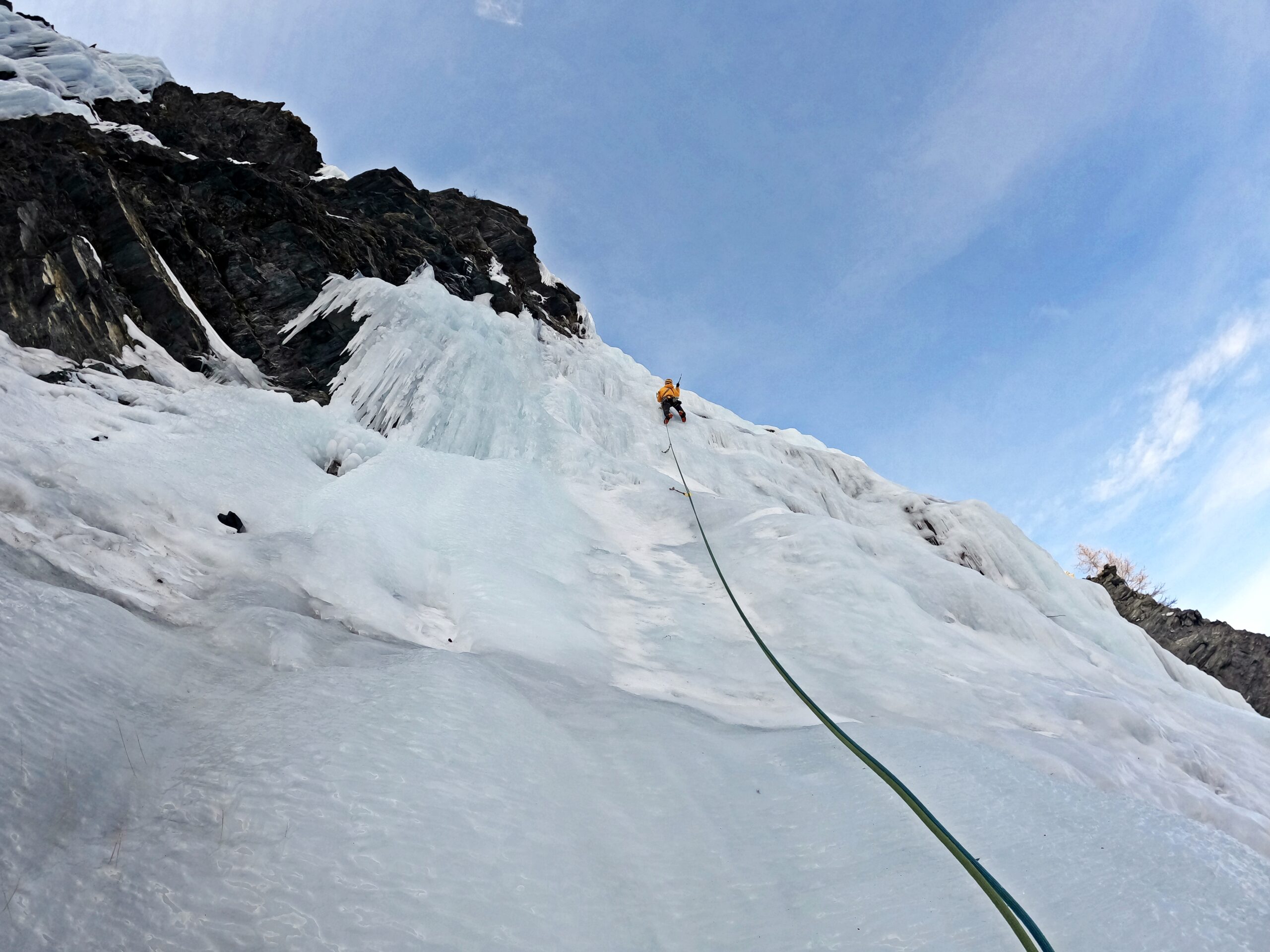
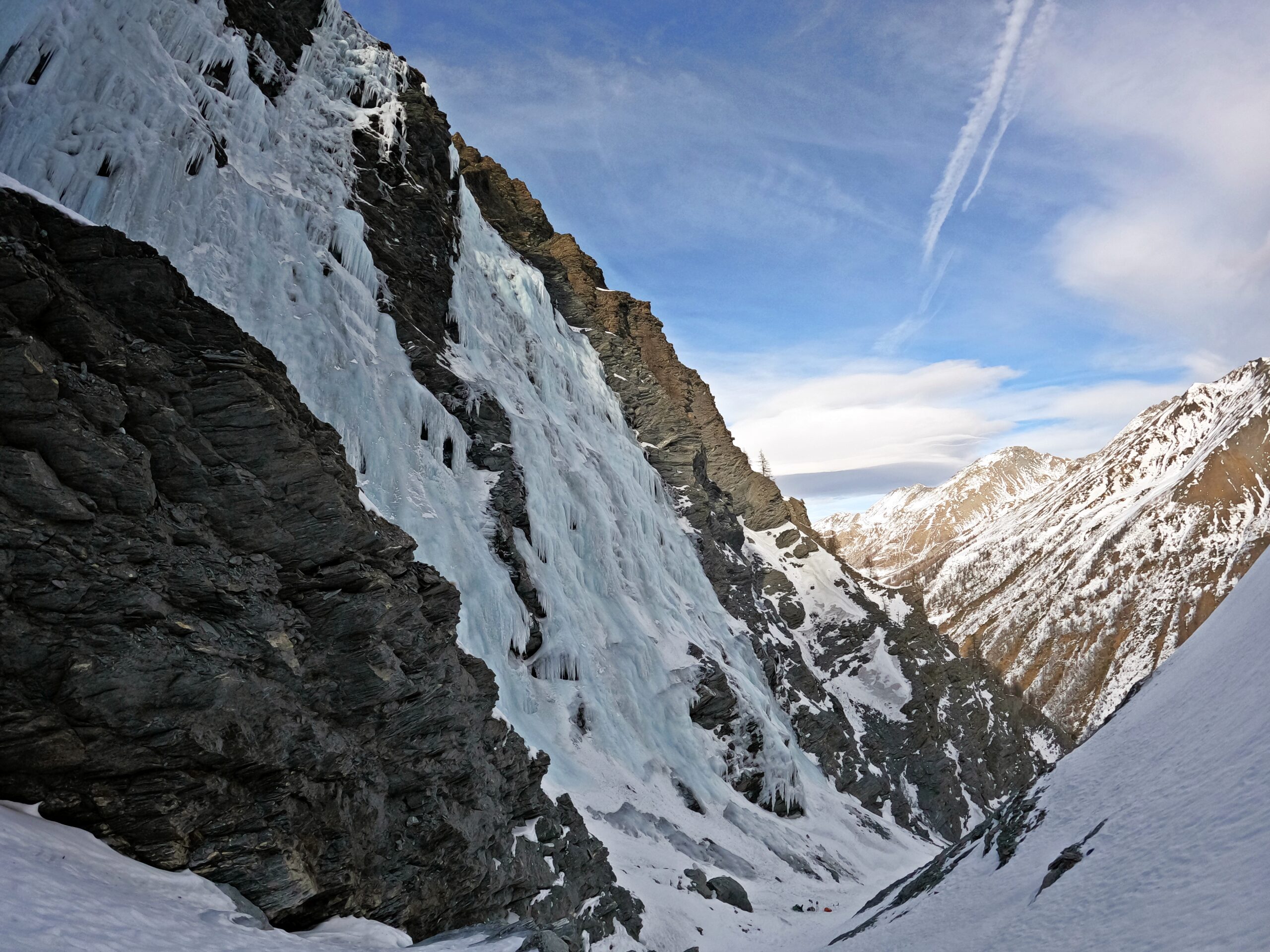
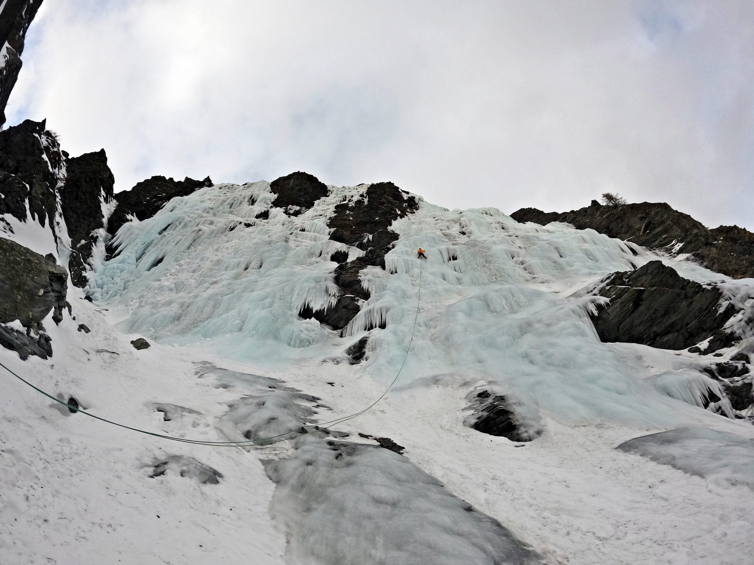
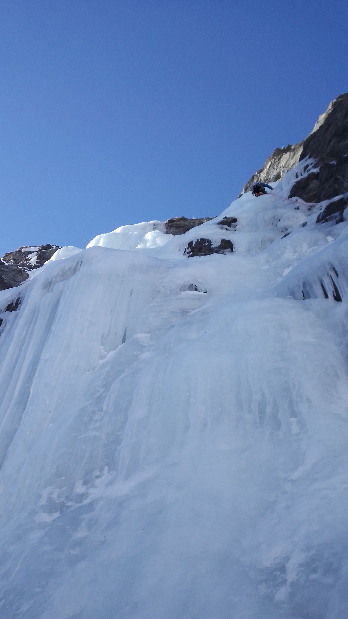
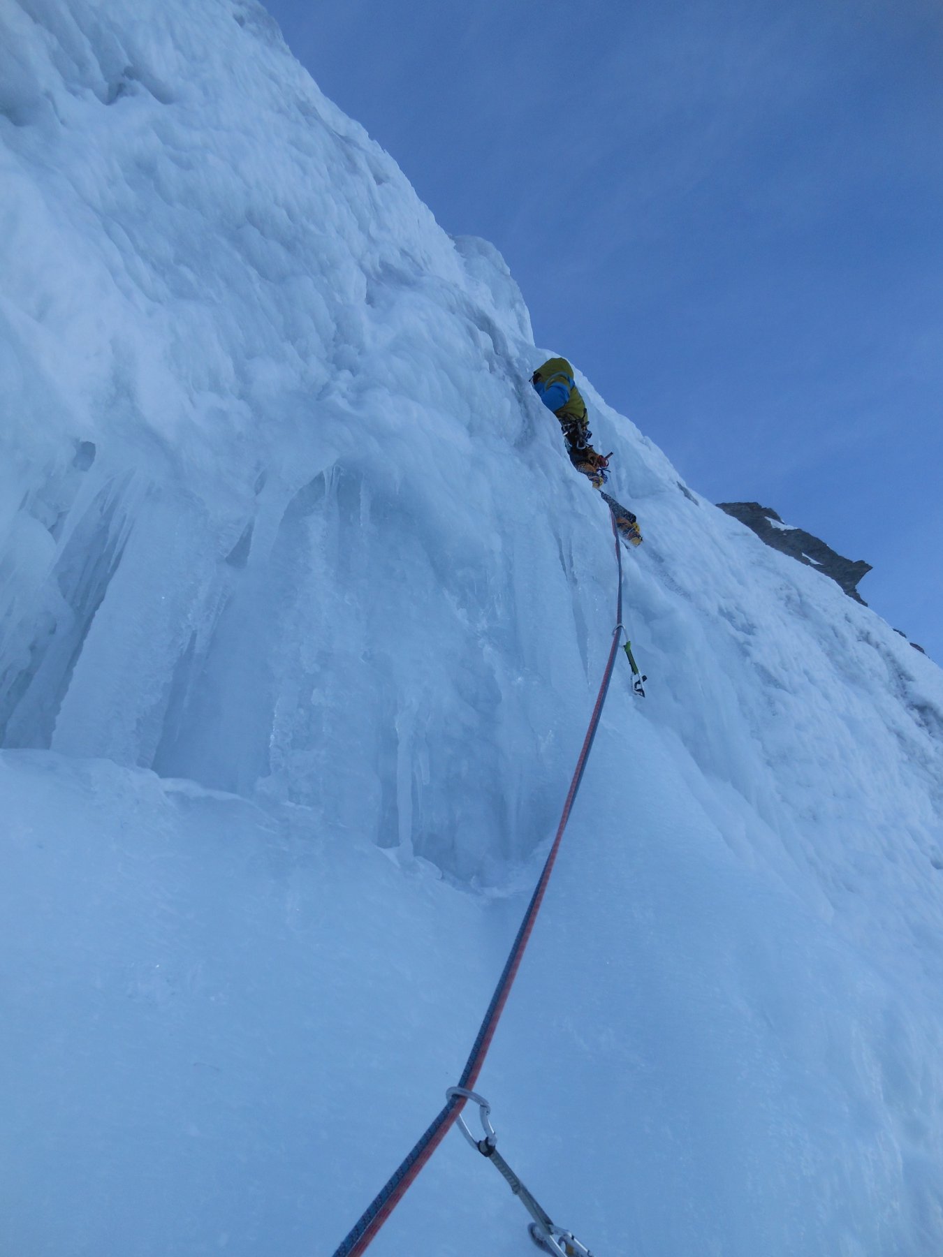
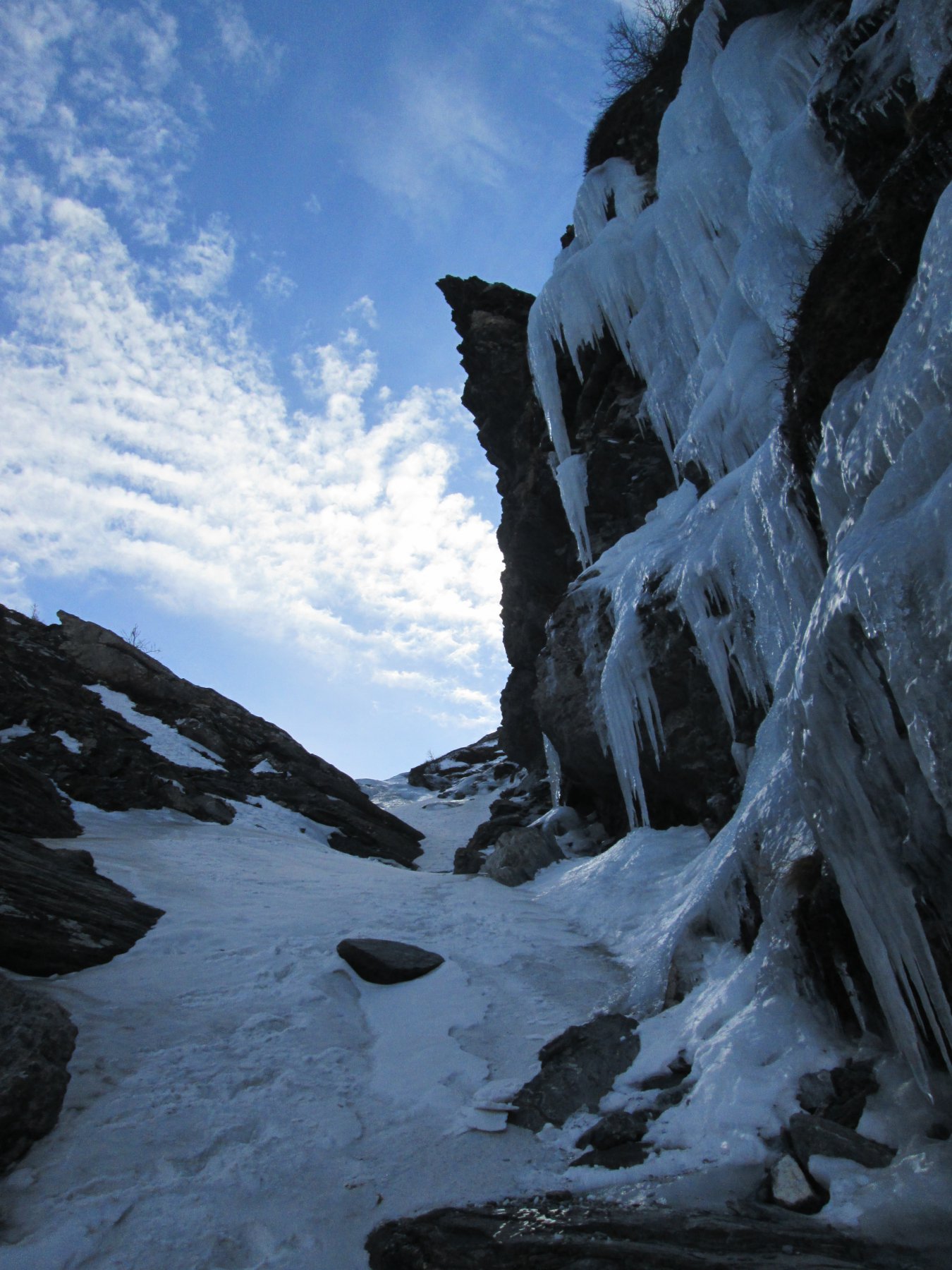
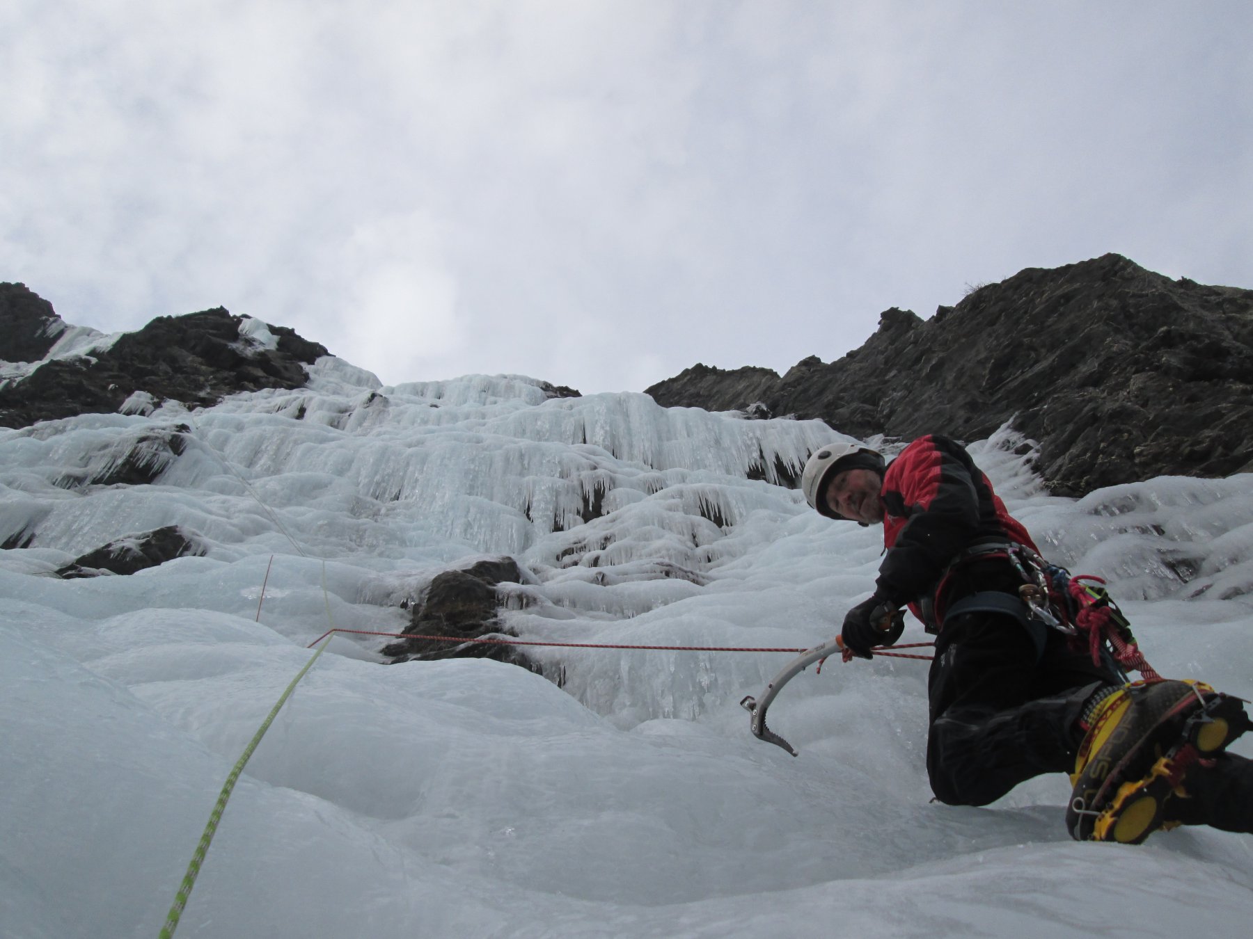
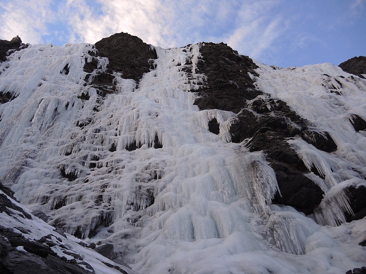
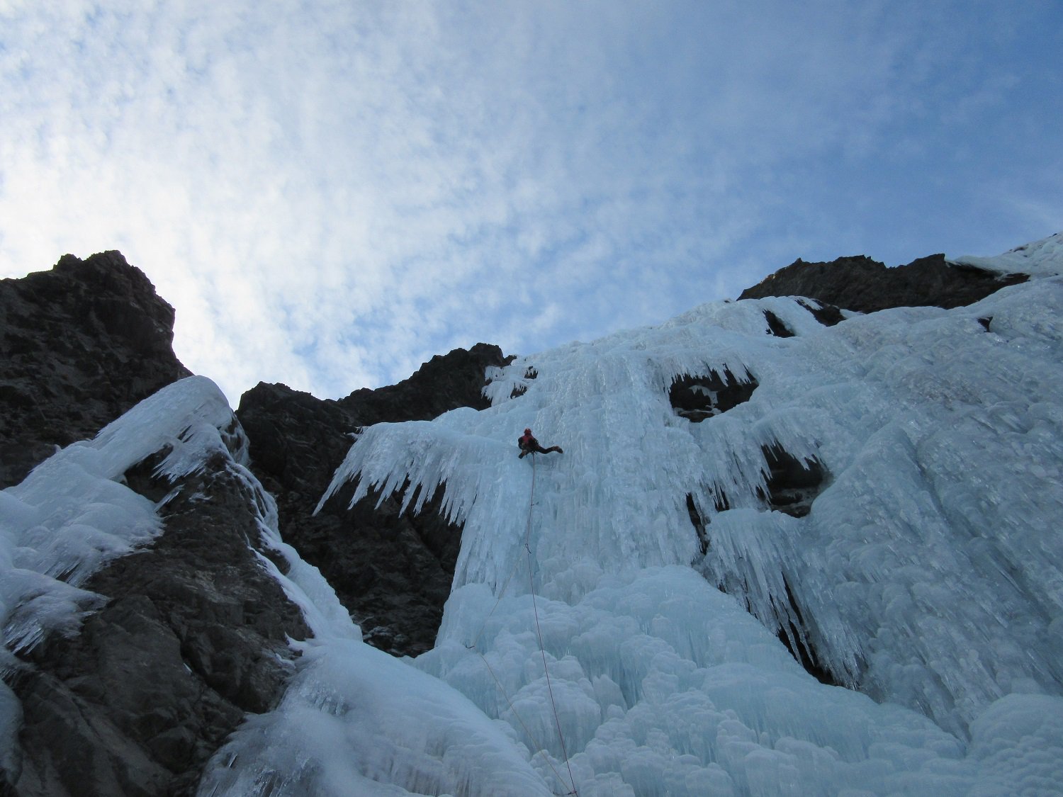
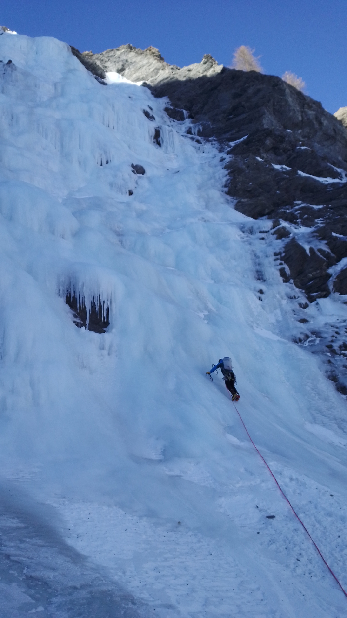
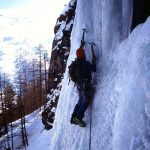
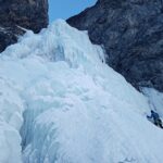
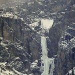
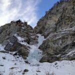
Bellissimo anfiteatro completamente foderato di ghiaccio fattibile solitamente fino a stagione inoltrata e percorso da cinque con gradazione compresa fra il 3+ e il 4+
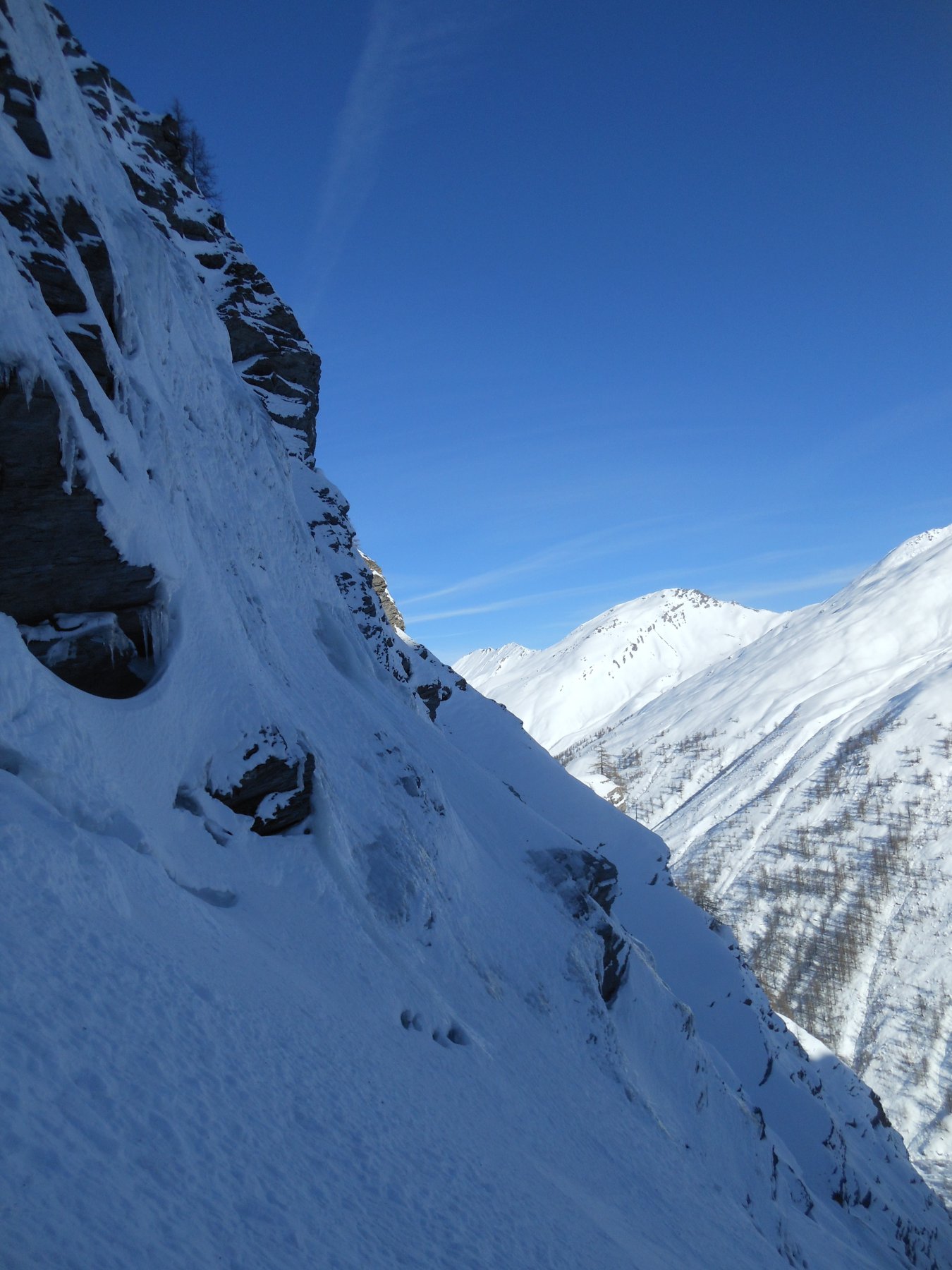
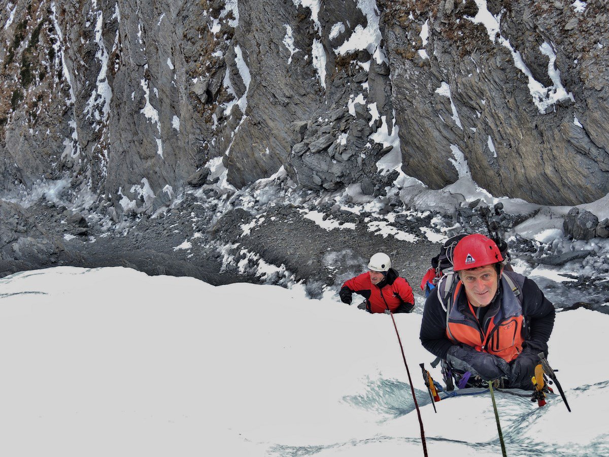
Occorre valutare attentamente le condizioni del manto nevoso e dell'intera zona; sussiste forte pericolo di valanghe ed in relazione all'esposizione dominante (sud-est) valutare anche eventuale irraggiamento e rialzi termici.
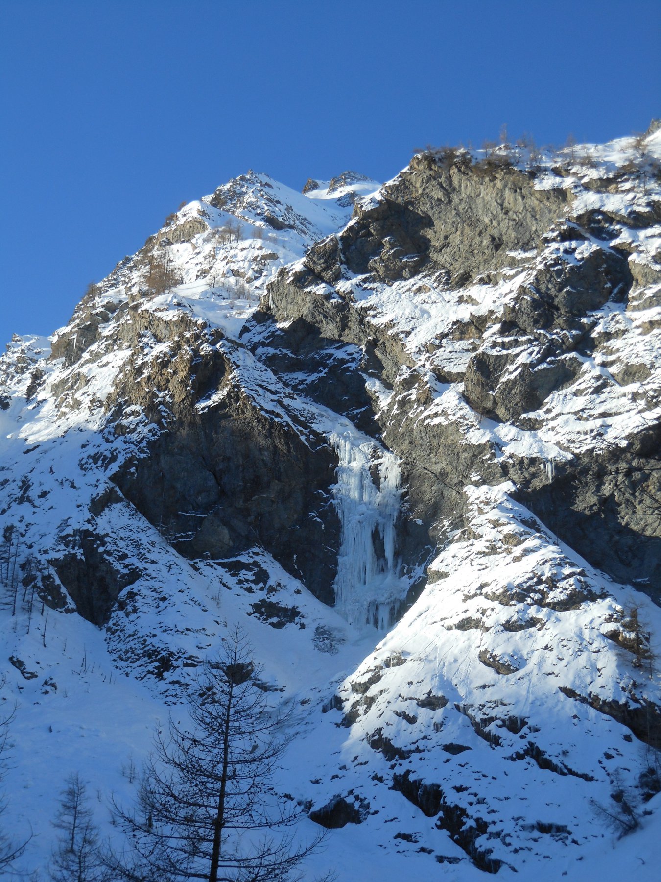
Si ricorda sempre che le prima 5 cascate che si incontrano in sx orografica risalendo la Val Troncea ovvero:
- Cascata di Pisse Neire (Cascatone della Banchetta)
- Il cilindro dei magnifici sette
- Cascata della Guglietta
- Cascata della Grande
- Cascata la Piccola
sono vietate dato che è zona di nidificazione dell'aquila. I guardiaparco del Parco Val Troncea non mancheranno di controllarvi. Le sanzioni sono molto pesanti. Informarsi c/o i guardiaparco per eventuali variazioni ai divieti.
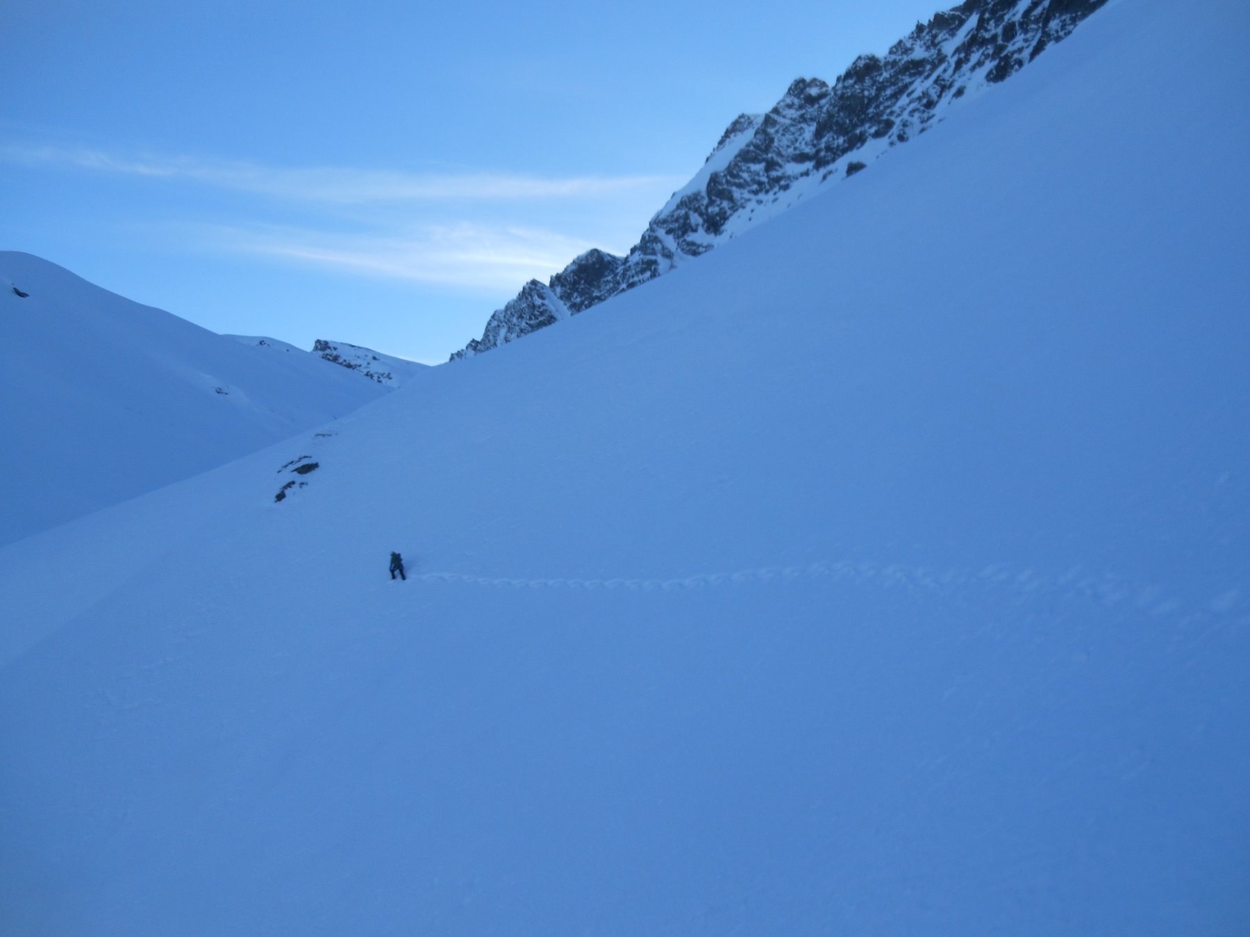
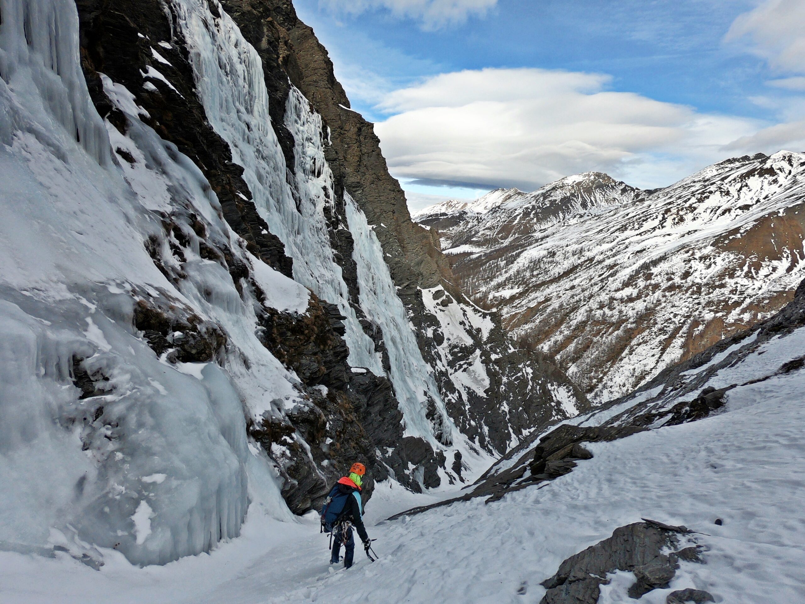
Avvicinamento
Occorre valutare attentamente le condizioni del manto nevoso e dell'intera zona; sussiste forte pericolo di valanghe ed in relazione all'esposizione dominante (sud-est) valutare anche eventuale irraggiamento e rialzi termici.
Si ricorda sempre che le prima 5 cascate che si incontrano in sx orografica risalendo la Val Troncea ovvero:
- Cascata di Pisse Neire (Cascatone della Banchetta)
- Il cilindro dei magnifici sette
- Cascata della Guglietta
- Cascata della Grande
- Cascata la Piccola
sono vietate dato che è zona di nidificazione dell'aquila. I guardiaparco del Parco Val Troncea non mancheranno di controllarvi. Le sanzioni sono molto pesanti. Informarsi c/o i guardiaparco per eventuali variazioni ai divieti.
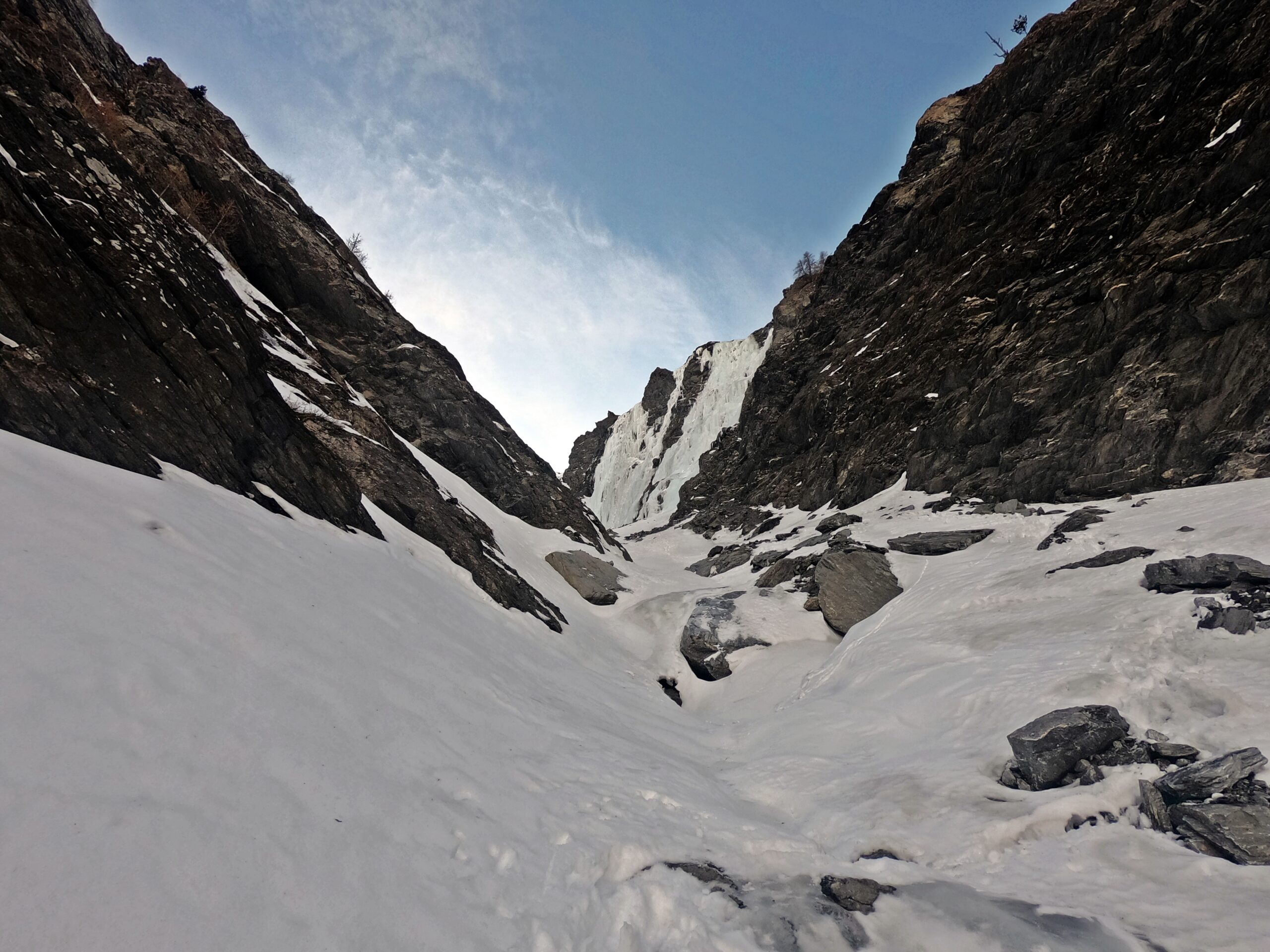
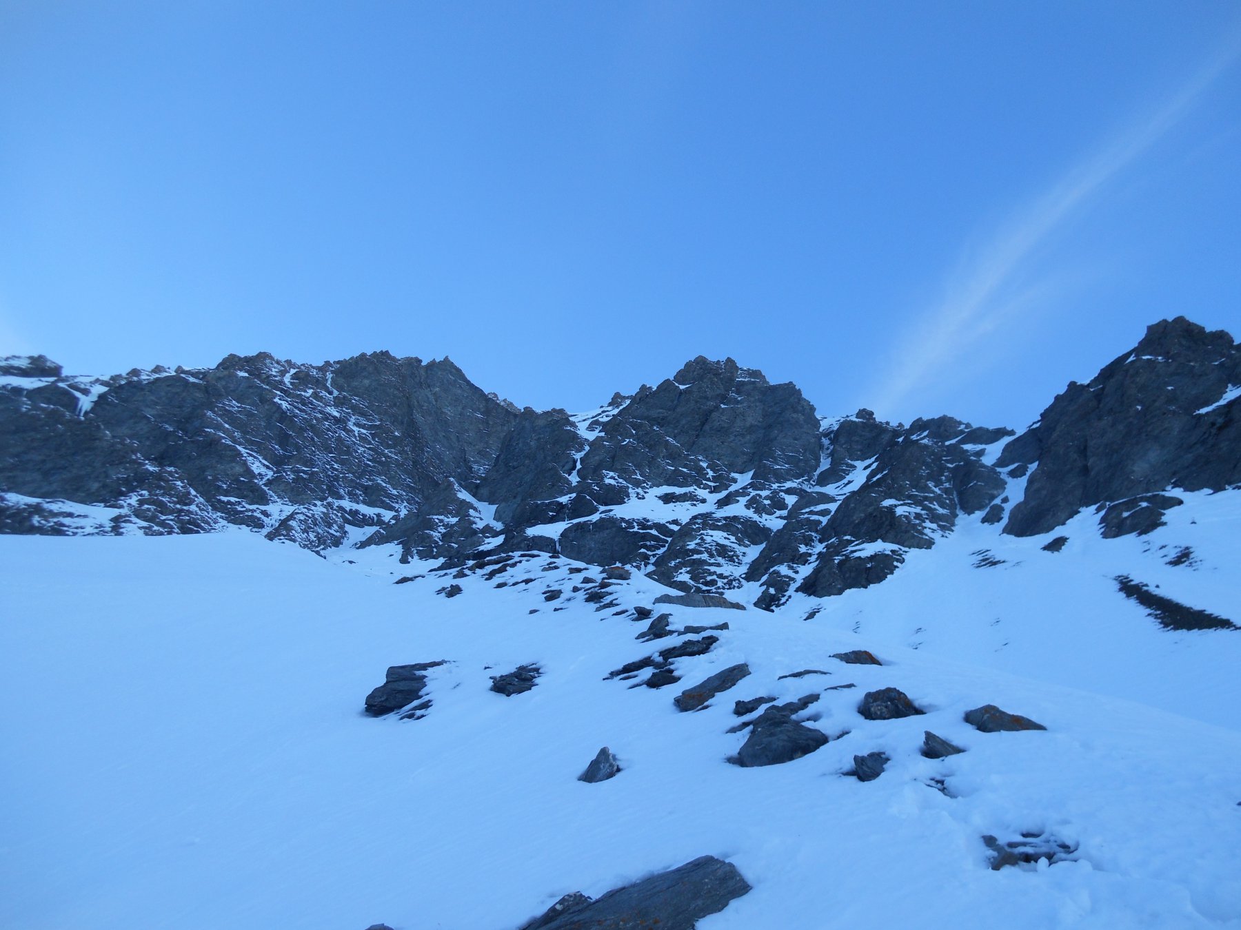
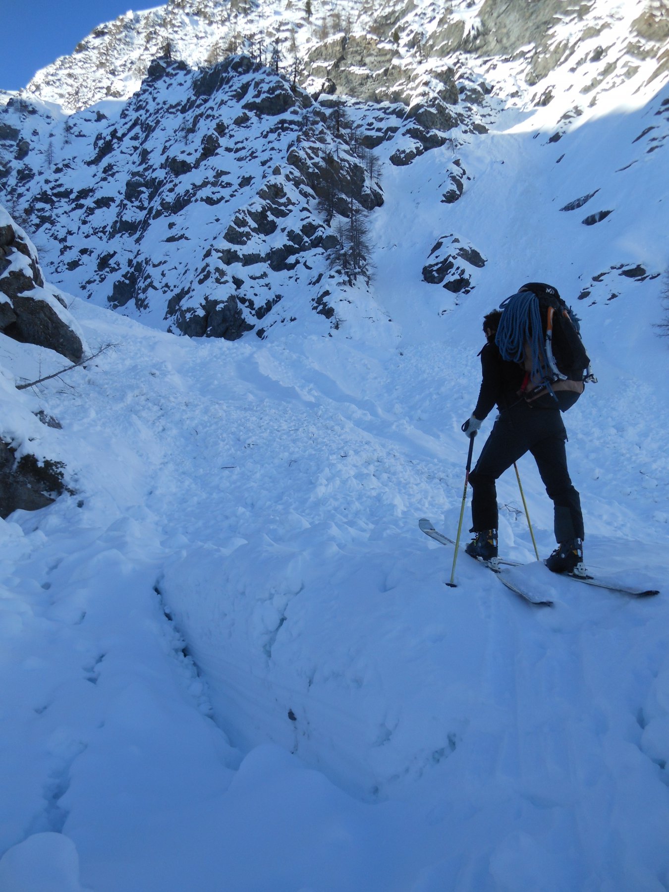
Si segue completamente la pista di fondo che s'inoltra nella valle passando fontana Landeniera a quota 1970 m. oltrepassando le pareti del Rouit, poi Platasse sino ad arrivare quasi alle bergerie del Mey quindi imboccare sulla destra ( sx. orografica) lo stretto canale che sale ai laghetti del Faurì sino all'anfiteatro foderato dalle poderose colate di ghiaccio (3,30- 4,00 h. dall'auto) in funzione dell'innevamento
Descrizione
Guardando la parete da dx. verso sx.
– Smorz e Light 3+/4° 120 m
– Le Fauci del Tiranno Dactylo 4°/4°+
– Ai vecchi tempi del Klondike 4°+
– Colonna d’Ercole 4°+
– Obelisco del nord 4°/4°+
La "scoperta" e quindi le prime salite documentate risalgono al 1981 Aghemo-Mossetto-Benone-Bertolotto-Chiesa poi tra l'87 e l'88 l'immancabile Grassi con Conta e Bruschi
- Cartografia:
- Fraternali 1:25.000 Val Chisone e Bassa val di susa
- Bibliografia:
- Ghiaccio dell'ovest GC Grassi
Nelle vicinanze Mappa
Itinerari
15/12/2024 TO, Pragelato 100 m IV, 5 Est
Val Troncea – Lacrime Ibernate (Cascata)
 600m
600m
15/01/2025 TO, Pragelato 100 m IV, 4+ Est
Val Troncea – Platasse (Cascata della)
 1.1Km
1.1Km
21/12/2024 TO, Pragelato 130 m III, 4 Est
Val Troncea – Rouit (Cascatone del)
 1.8Km
1.8Km
04/01/2011 TO, Pragelato 100 m II, 5+ Est
Val Troncea – Dies Irae (Cascata)
2.1Km
27/02/1994 TO, Pragelato 150 m III, 4+ Nord-Est
Val Troncea – Guglietta (Cascata della) VIETATA
 3.4Km
3.4Km
11/01/2025 TO, Sauze di Cesana 100 m III, 4 Nord-Est
Valle Argentera – Stalattite di Fumo (Cascata)
 4.8Km
4.8Km
11/01/2025 TO, Sauze di Cesana 50 m III, 3+ Nord
Valle Argentera – Rio Adriet (Cascata del)
 4.8Km
4.8Km
21/02/1995 TO, Pragelato 120 m IV, 5 Nord-Est
Val Troncea – Pisse Neire (Cascata) VIETATA
 5Km
5Km
12/02/2023 TO, Sauze di Cesana 100 m II, 2+ Nord-Est
Valle Argentera – Rio Guccie (Cascata del)
 5Km
5Km
21/12/2024 TO, Sauze di Cesana 100 m III, 4 Est
Valle Argentera – Rio Calso (Cascata del)
 5Km
5Km