3Km
3Km
Note
Storico
 50m
1.7Km
2.6Km
2.7Km
3.1Km
8.3Km
8.3Km
8.8Km
9.8Km
9.8Km
50m
1.7Km
2.6Km
2.7Km
3.1Km
8.3Km
8.3Km
8.8Km
9.8Km
9.8Km
3Km
3.3Km
5.1Km
5.1Km
5.1Km
6.3Km
6.4Km
6.4Km
6.4Km
8.1Km
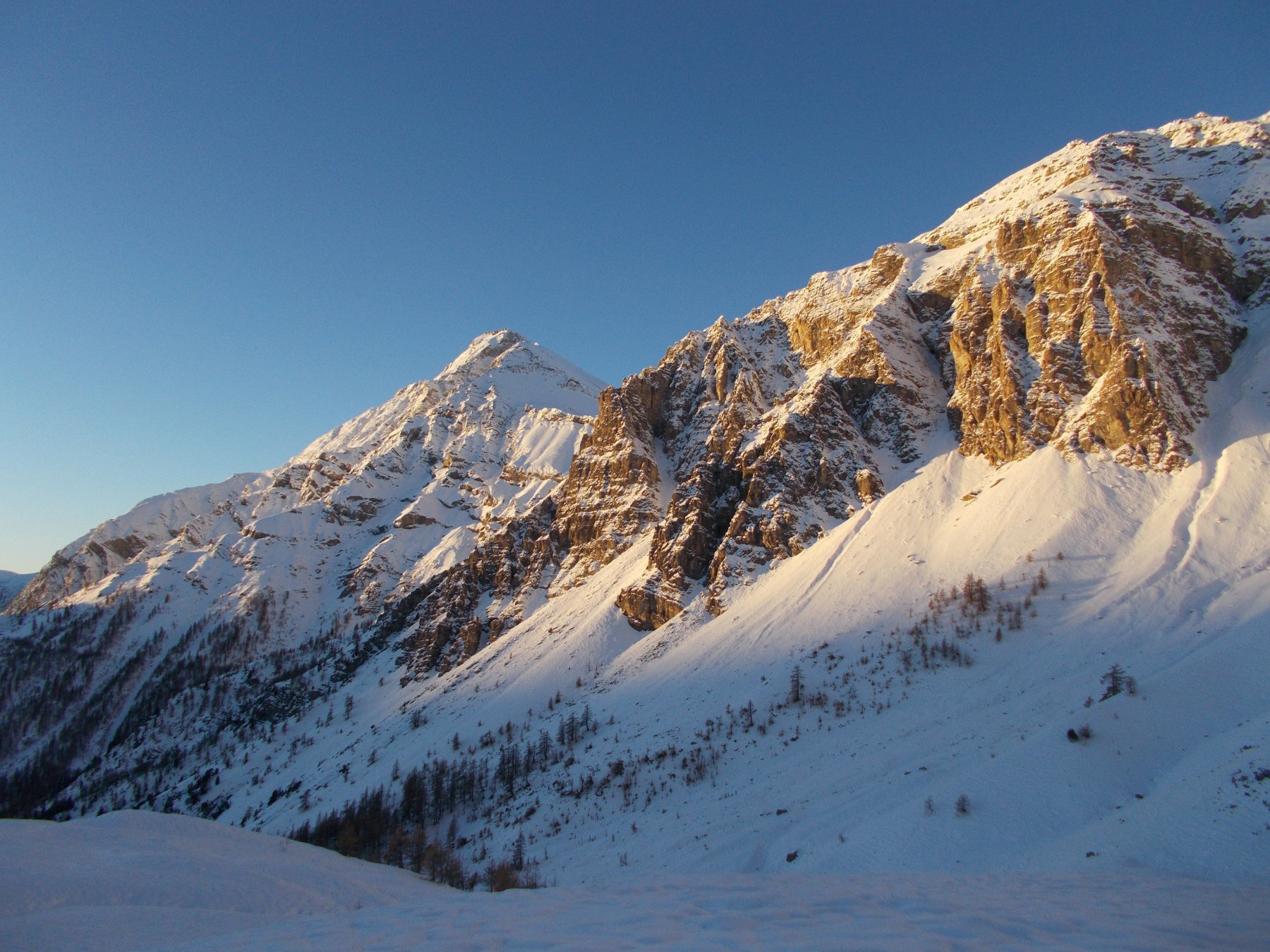
Montagna ben individuata, di regolare forma piramidale, ma poco frequentata.Ottimo panorama sul Delfinato e la Valle Stretta
Avvicinamento
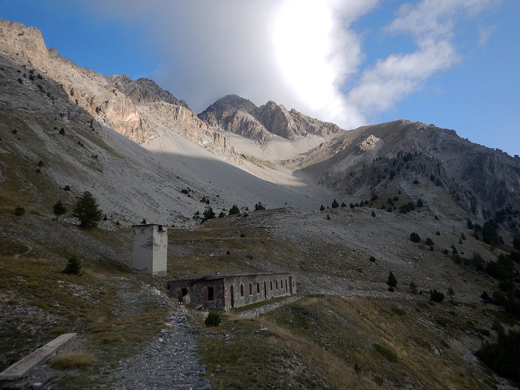
Da Torino si raggiunge Oulx con la statale 24 o l'autostrada A32, dal centro del paese si svolta a destra ad attraversare la Dora Riparia, subito dopo svolta a sinistra e seguire le indicazioni per Madonna del Cotolivier. Seguire la stretta strada asfaltata che raggiunge le frazioni di Pierremenaud e Vazon, poi prosegue sterrata per alcuni km sino ad un bivio a circa 2050 mt, svoltare a sinistra e proseguire per circa 1 km sino ad un piccolo posteggio vicino all'alpeggio Pourachet .Dopo la frazione di Vazon e'sconsigliato proseguire con automezzi normali .
Descrizione
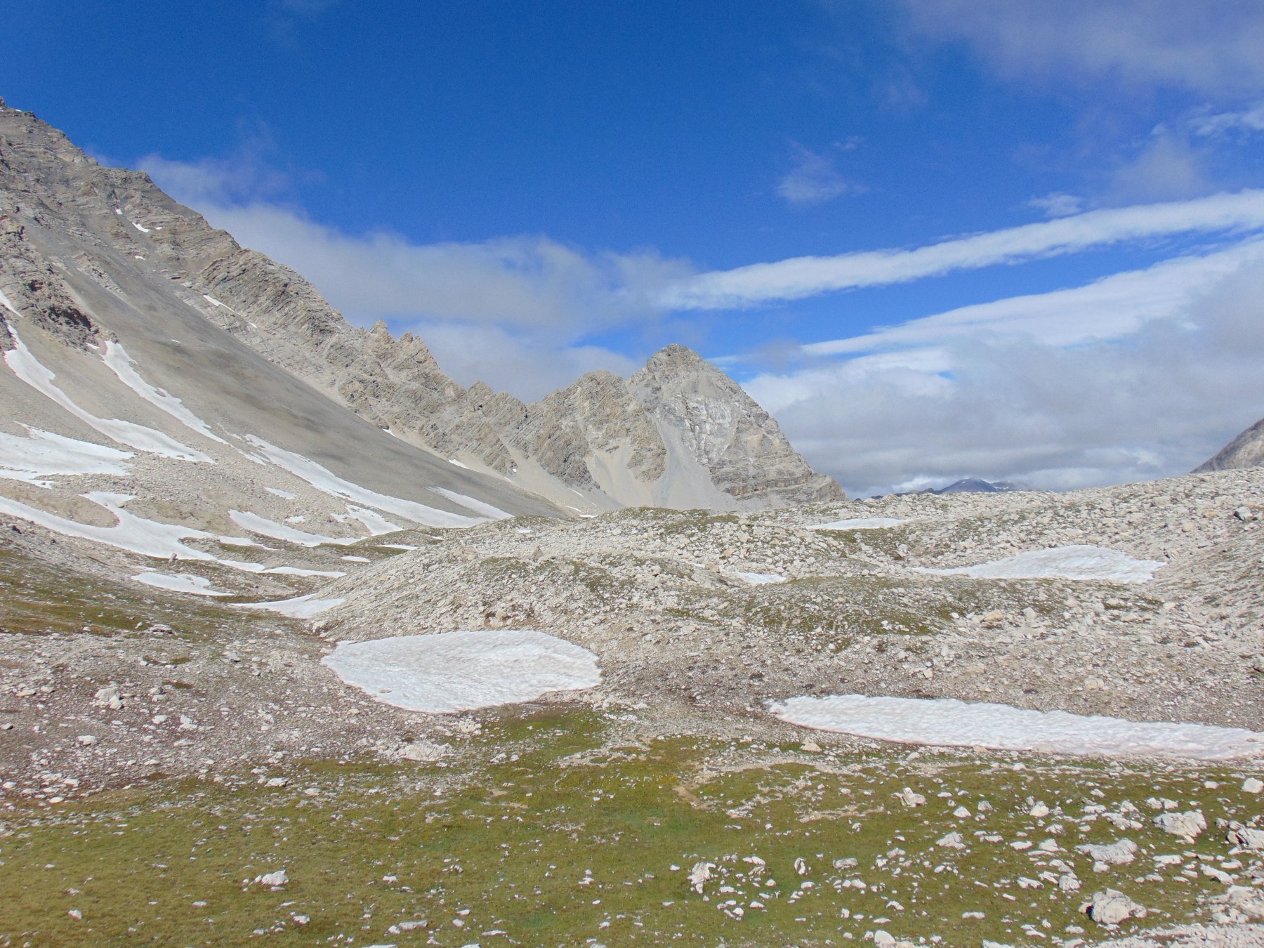
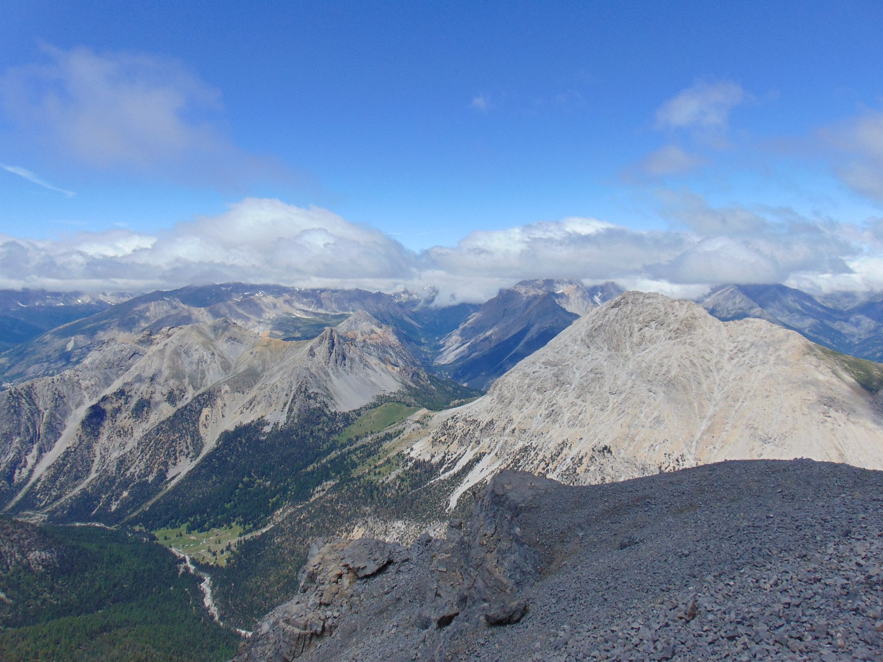
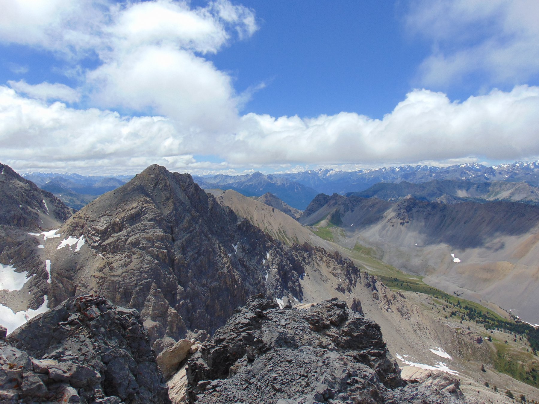
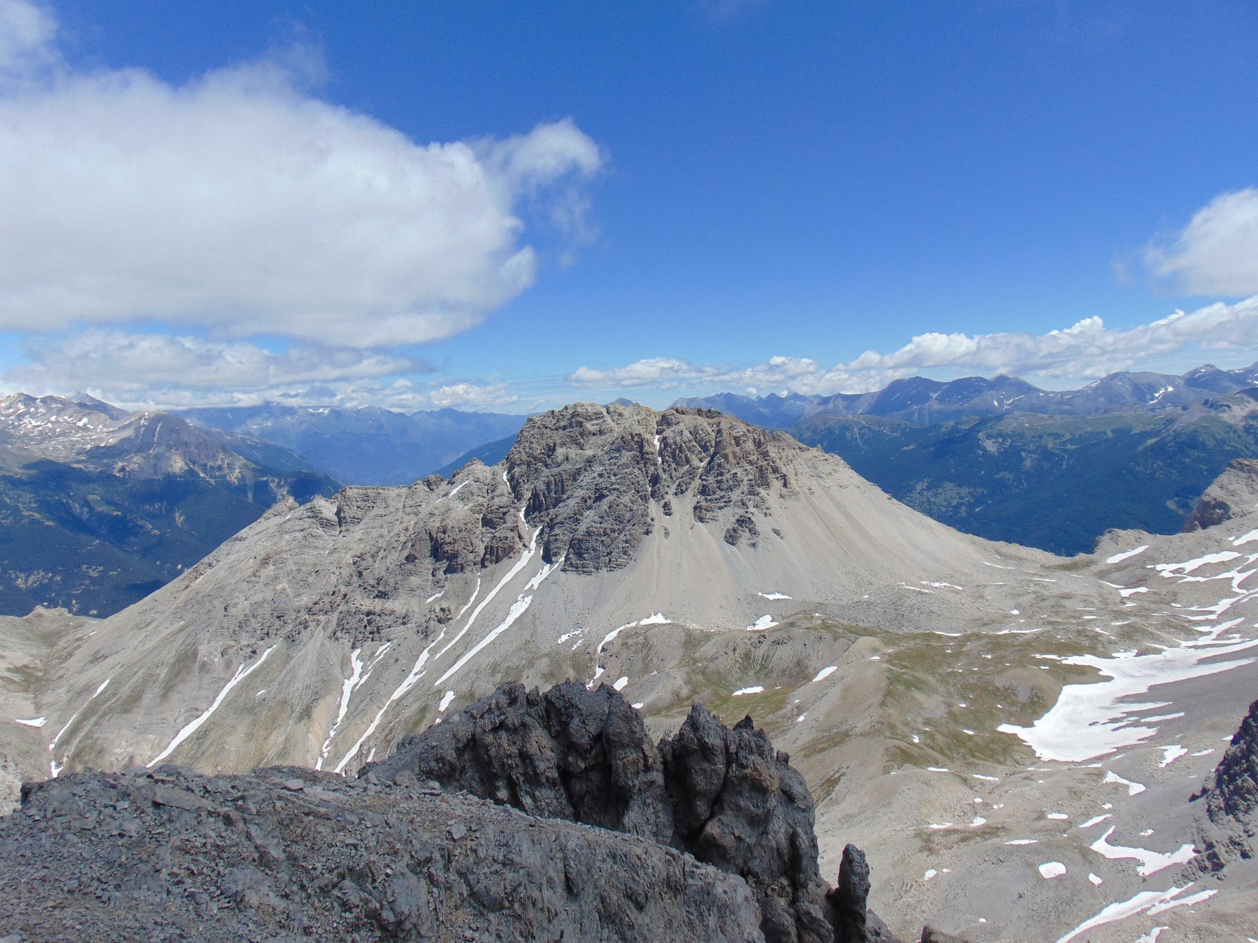
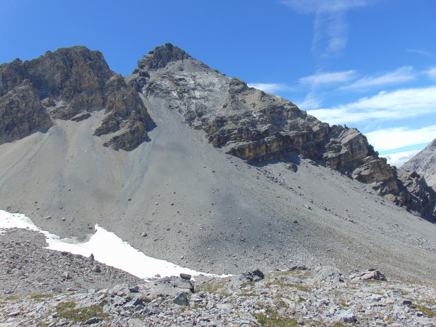
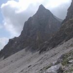
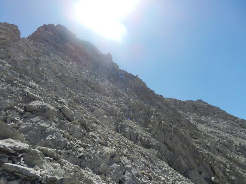
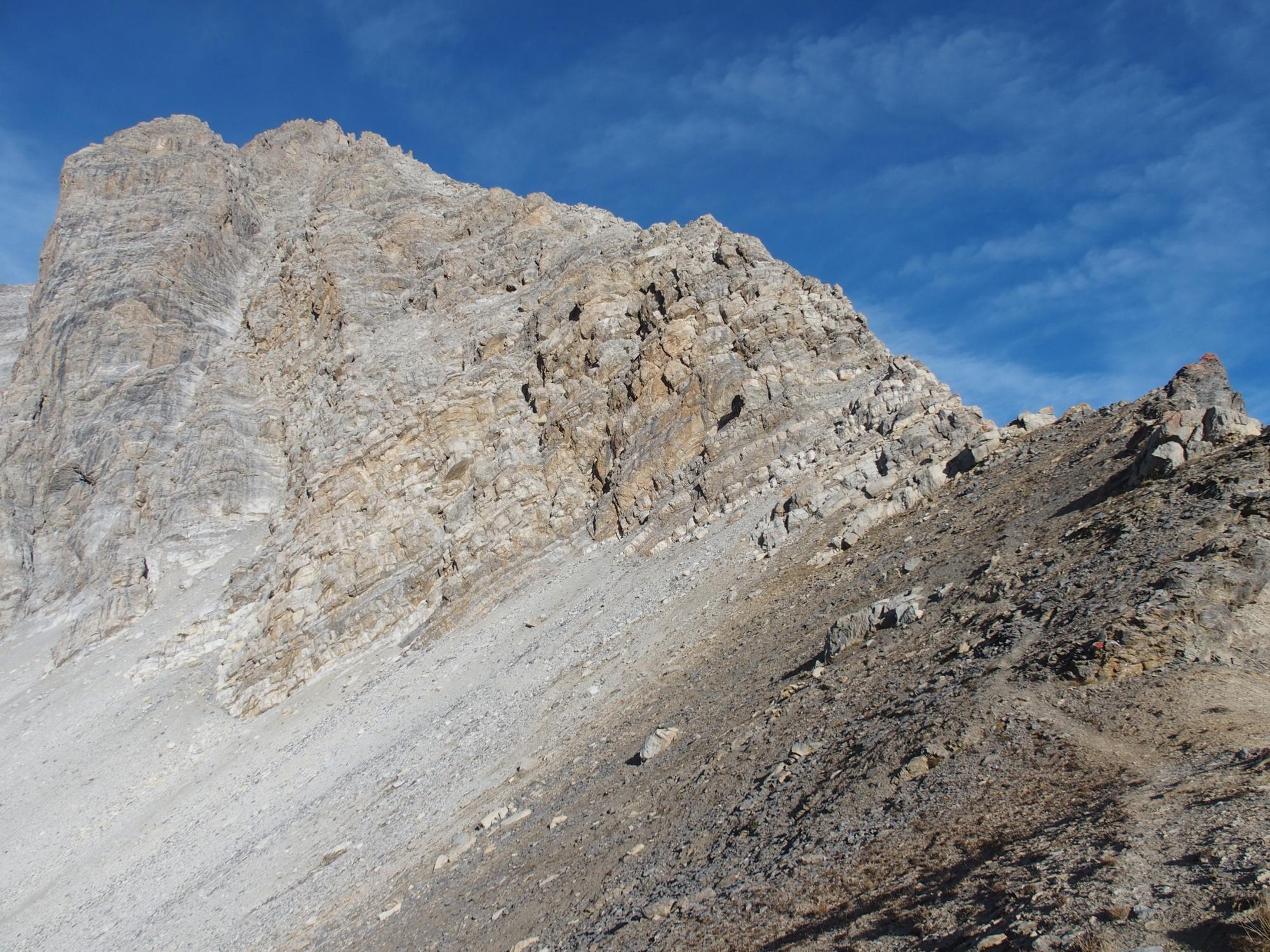
Dal piazzale di Pourachet si segue il sentiero che sale leggermente verso Ovest, si supera il bivio per la Croce di San Giuseppe (seguire indicazioni passo Desertes/Clotesse) e dopo circa 40 minuti si esce dalla zona boscosa entrando in un vasto pendio detritico, avendo di fronte l’imponente Rocca del Lago. Il sentiero supera con numerose svolte il pendio e raggiunge il rifugio Rocchette mt.2450 , addossato alla roccia. Ancora alcune svolte e si perviene al Passo di Desertes mt.2545 (ore 1, 40) , sullo spartiacque principale. Roche des Pres ci appare di fronte, al termine dell’altopiano.
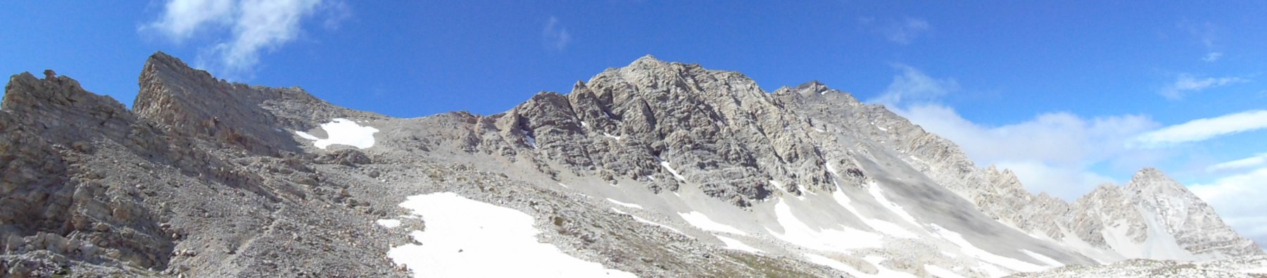
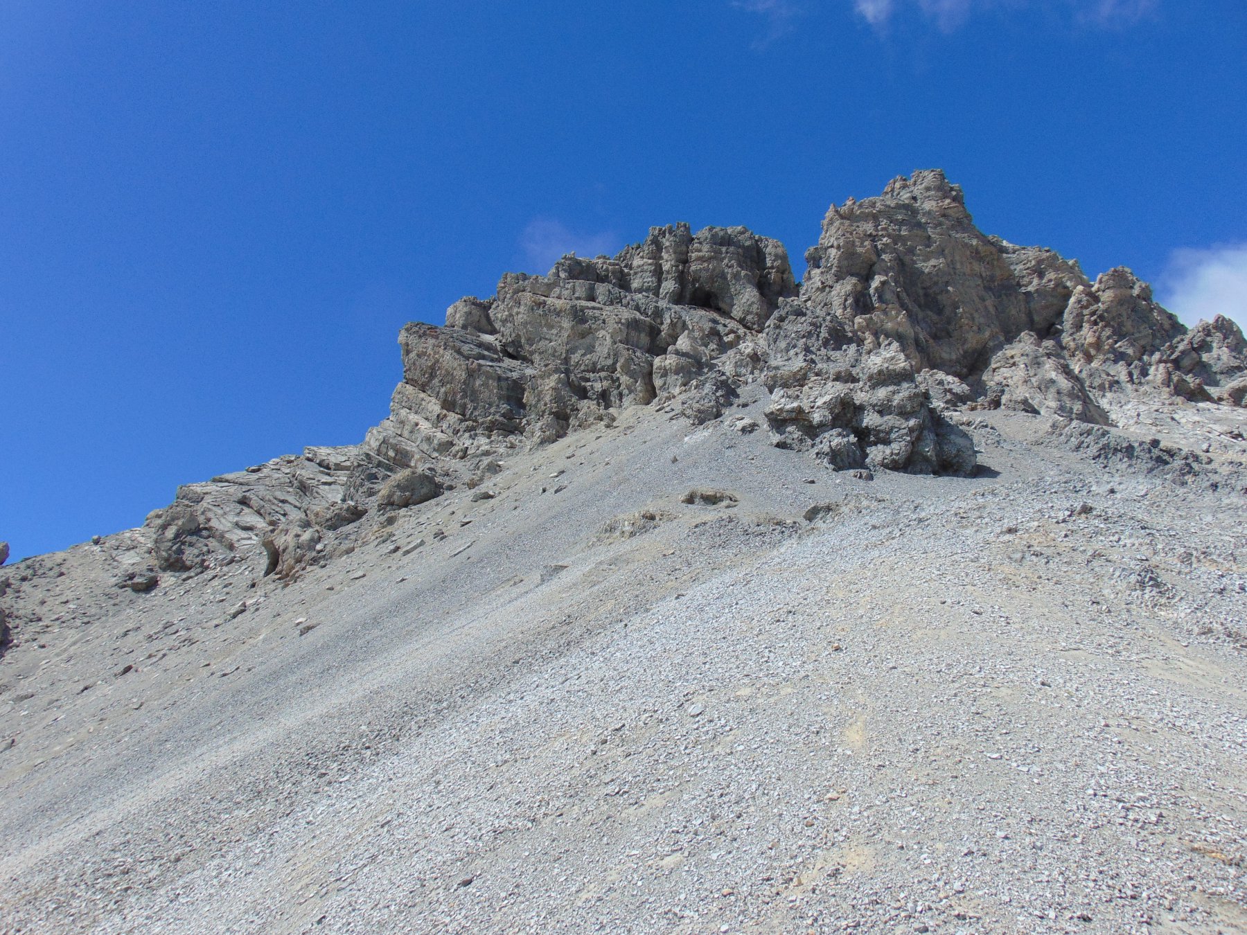
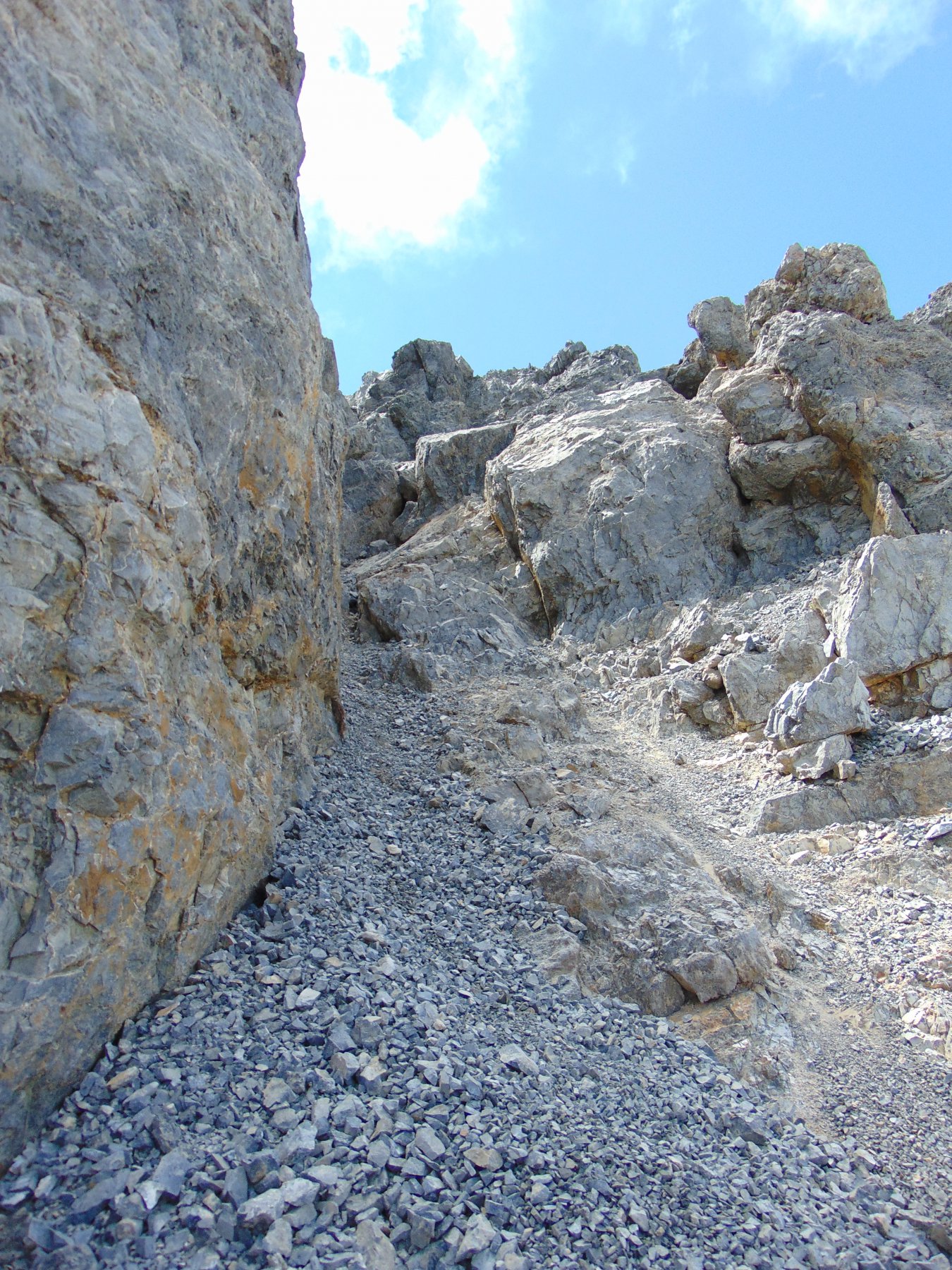
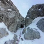
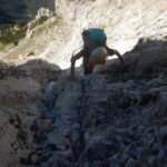
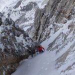
Si segue per alcune centinaia di metri il sentiero che scende verso gli chalet des Acles, poi lo si abbandona superando alcuni dossi morenici e nevai puntando all’evidente canalone nord est (circa 40 minuti) .Si percorre il canale di minuto detrito tenendosi sulla destra (sx idrografica) contro le rocce. La pendenza del canale e’ intorno al 35° ed il dislivello di circa 200 metri. Si raggiunge un colletto quotato ca. 2800m, si svolta a destra e si segue la cresta che all’inizio si presenta detritica e faticosa. Ci si sposta leggermente a sinistra entrando in un canale detritico e superando rocce rotte e instabili. Si perviene alla cresta ad Est della vetta che si raggiunge con alcuni facili passi in arrampicata verso sinistra.
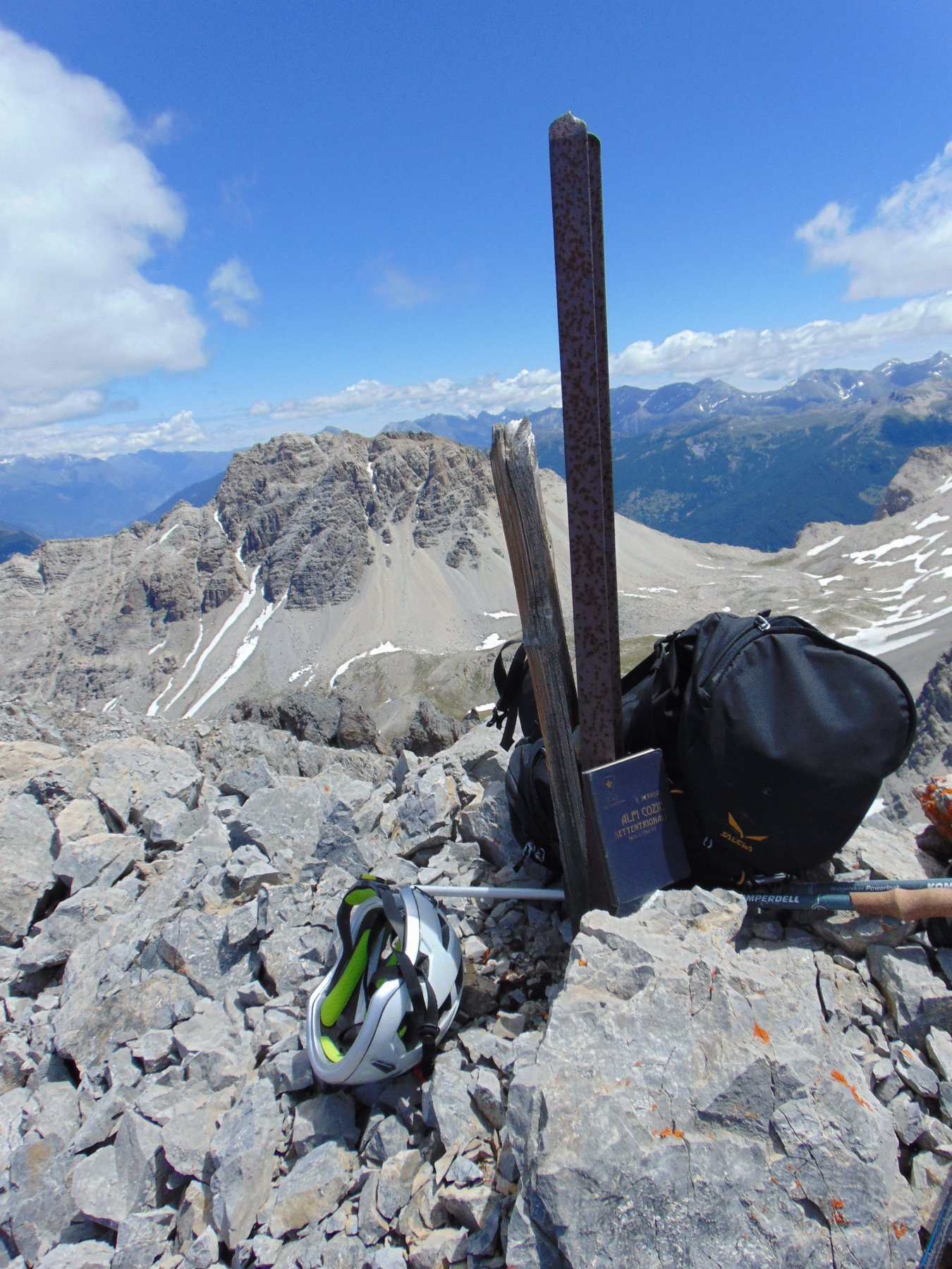
Primi salitori Eugenio e Giulio Ferreri, Alfredo Sacchi 2 Luglio 1922, nella stessa giornata salendo da Claviere attraverso il Col de Trois Freres Mineurs salirono il Rochers de Marapa m 2911, il Roche des Pres e rientrarono in Italia dal passo della Grande Hoche.
- Cartografia:
- Fraternali Alta Valle Susa nr.1, Igc Valli di Susa Chisone e Germanasca, Igc Sestriere Claviere Prali
- Bibliografia:
- Eugenio Ferreri/ Alpi Cozie Settentrionali parte II SEZ. I Cai 1926. Aruga, Losana, Re Alpi Cozie Settentrionali Cai/Tci 1985
Nelle vicinanze Mappa
Itinerari
11/08/2024 TO, Cesana Torinese D+ 700 m PD Sud-Est
Lago (Rocca del) Cresta SE
 50m
50m
08/11/2016 TO, Cesana Torinese D+ 1330 m PD Nord
Chalanche Ronde (Pointe de) Parete Nord
 1.7Km
1.7Km
26/04/2026 TO, Cesana Torinese D+ 1542 m AD- Nord-Est
Chaberton (Monte) Canale NE
 2.6Km
2.6Km
25/08/2019 TO, Cesana Torinese D+ 840 m AD Nord-Est
Lago (Rocca del) Cresta N/NE
 2.7Km
2.7Km
07/03/2026 TO, Oulx D+ 1400 m TD+ Nord
Grand’Hoche Parete Nord – Goulotte Grassi
 3.1Km
3.1Km
21/06/2026 TO, Claviere D+ 1371 m F+ Sud
Chaberton (Monte) da Claviere per la Batteria Alta
 8.3Km
8.3Km
21/08/2024 TO, Claviere D+ 1370 m PD+ Sud-Est
Chaberton (Monte) Cresta SE – Via Mario Perona (ora Via Ferrata)
 8.3Km
8.3Km
31/08/2025 TO, Salbertrand D+ 850 m F Sud-Ovest
Seguret (Monte) Via dei Torrioni
 8.8Km
8.8Km
30/08/2017 Hautes-Alpes, Montgenèvre D+ 1250 m F Sud-Est
Malapas o Marapa (Rochers de) da Montgenèvre
 9.8Km
9.8Km
22/04/2018 Hautes-Alpes, Montgenèvre D+ 1261 m PD Ovest
Chaberton (Monte) Versante/Canale Ovest
 9.8Km
9.8Km
Servizi
3Km
3.3Km
La Chardouse Rifugio
Oulx
5.1Km
Dell’Orsa Bar
Oulx
5.1Km
La Moretta Ristorante
Oulx
5.1Km
Guido Rey Rifugio
Oulx
6.3Km
Ottima Scelta Ristorante
Cesana Torinese
6.4Km
L’Ibarus Rifugio
Cesana Torinese
6.4Km
Piergiorgio Frassati B&B
Cesana Torinese
6.4Km
Casa Cesana Bar
Cesana Torinese
8.1Km