

Da Breil Sur Roya prendere il sentiero Gr510 (tacche rosso-bianche) che parte subito dopo il ponte situato in fondo al lago artificiale che con un lungo percorso a semicerchio giunge alla localita’Viravourgio,per poi scendere fino a incontrare una stradina sterrata che risalendo raggiunge una strada asfaltata. Da qui in pochi minuti si giunge a Piene Haute,caratteristico paesino della Val Roya.
Per scendere a Olivetta S.Michele si ripercorre la strada per circa 500mt e si imbocca (nei pressi di una fontana) il sentiero Gr510(palina)che passando accanto alla chiesetta di S.Jerome porta in un’oretta al paese.Da Piene Haute è possibile ritornare a Breil imboccando un sentiero segnato ,che dalla piazzetta all’ingresso del paese (cartello indicatore) scende con percorso piu’ diretto sul fondovalle
- Cartografia:
- IGC n.14-San Remo-Imperia-Monte Carlo
- Bibliografia:
- Centosentieri .La Valle Roya
Nelle vicinanze Mappa
Itinerari
Ventabren (Pointe de) da Breil Sur Roya, anello per Mont Mangiabò
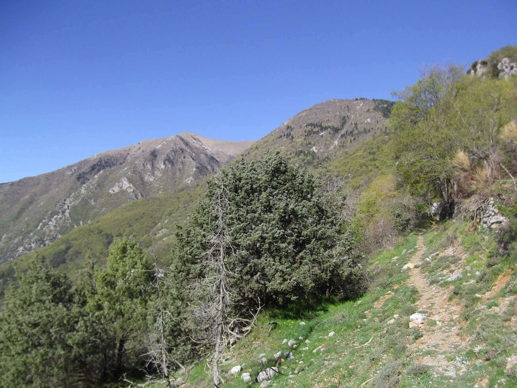 250m
250m
Abellio (Baisse de) da Breil sur Roya, traversata a Ventimiglia
 300m
300m
Ventabren (Pointe de) da Breil sur Roya
Grammondo (Monte) da Breil sur Roya, traversata a Menton per le antiche Vie Marenche
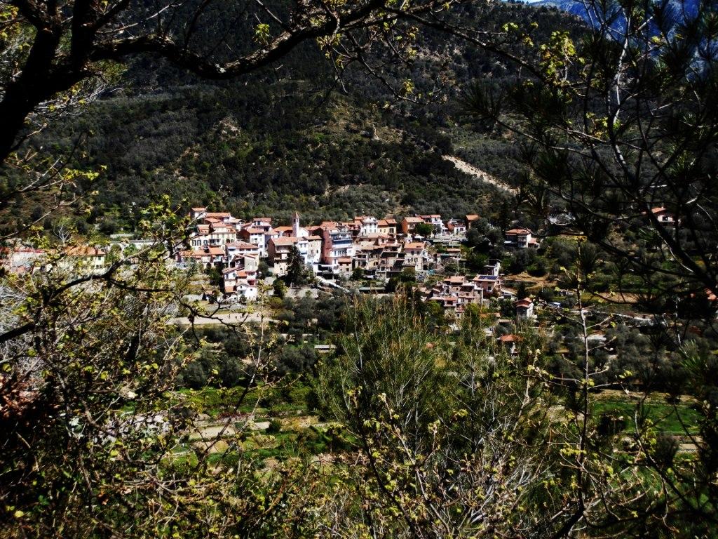 300m
300m
Arpette (l’) e Roche Fourquin da Breil sur Roya, anello per la Tete d’Alpe e Libre
 300m
300m
Arpette (l’) da Breil-sur-Roya
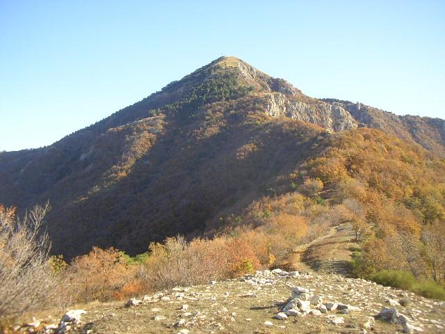 350m
350m
Bosc (Cime du) da Breil s/Roya, anello
 350m
350m
Roya (Valle del) da Breil sur Roya a Saint Dalmas de Tende
Grammondo (Monte) da Olivetta San Michele, anello per Sospel, le Cuore e Col du Razet
 1.3Km
1.3Km
Fourquin (Roche) da Libre
 3.8Km
3.8Km



