1.2Km
1.2Km
Note
 50m
50m
50m
50m
50m
50m
50m
50m
50m
50m
50m
50m
50m
50m
50m
50m
Usando la cabinovia Champoluc-Crest si risparmiano circa 400 m di dislivello.
Salita abbinabile senza troppa fatica aggiuntiva alla vicina Gran Cima
Avvicinamento
Salita abbinabile senza troppa fatica aggiuntiva alla vicina Gran Cima
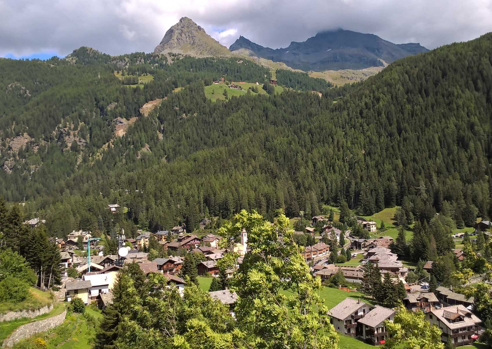
Da Verres (uscita autostrada Torino-Aosta) si risale la Val d'Ayas fino a Champoluc. Se si intende usare la funivia c'è un grosso parcheggio nei pressi, a fine del paese. Se si vuole salire a piedi invece conviene parcheggiare prima del centro abitato nei pressi del cimitero.
Descrizione
Salita dal Vallone di Mascognaz:
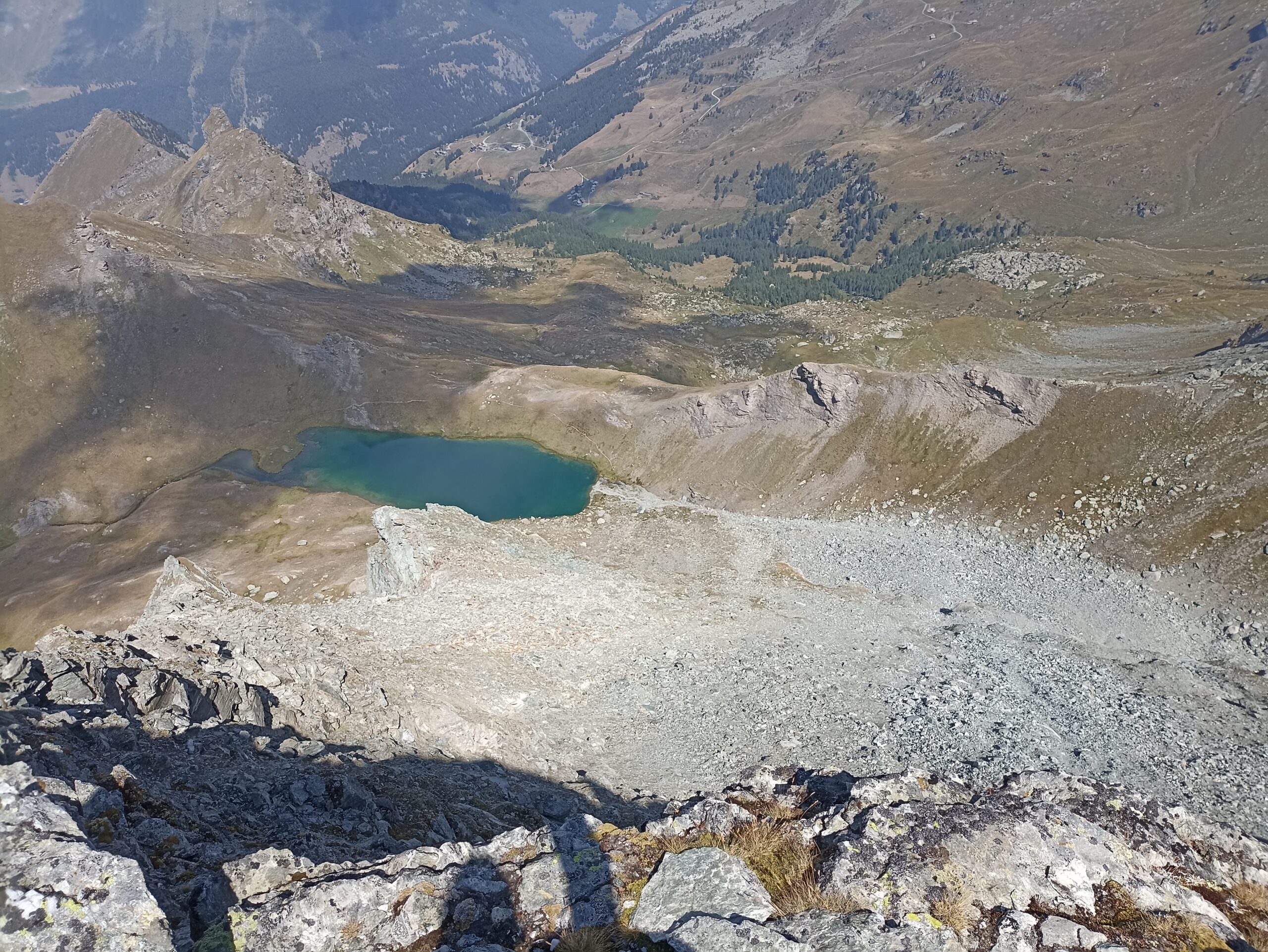
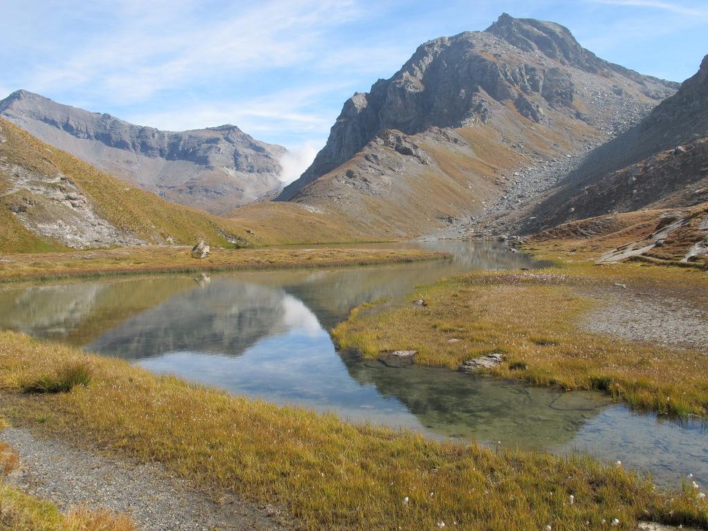
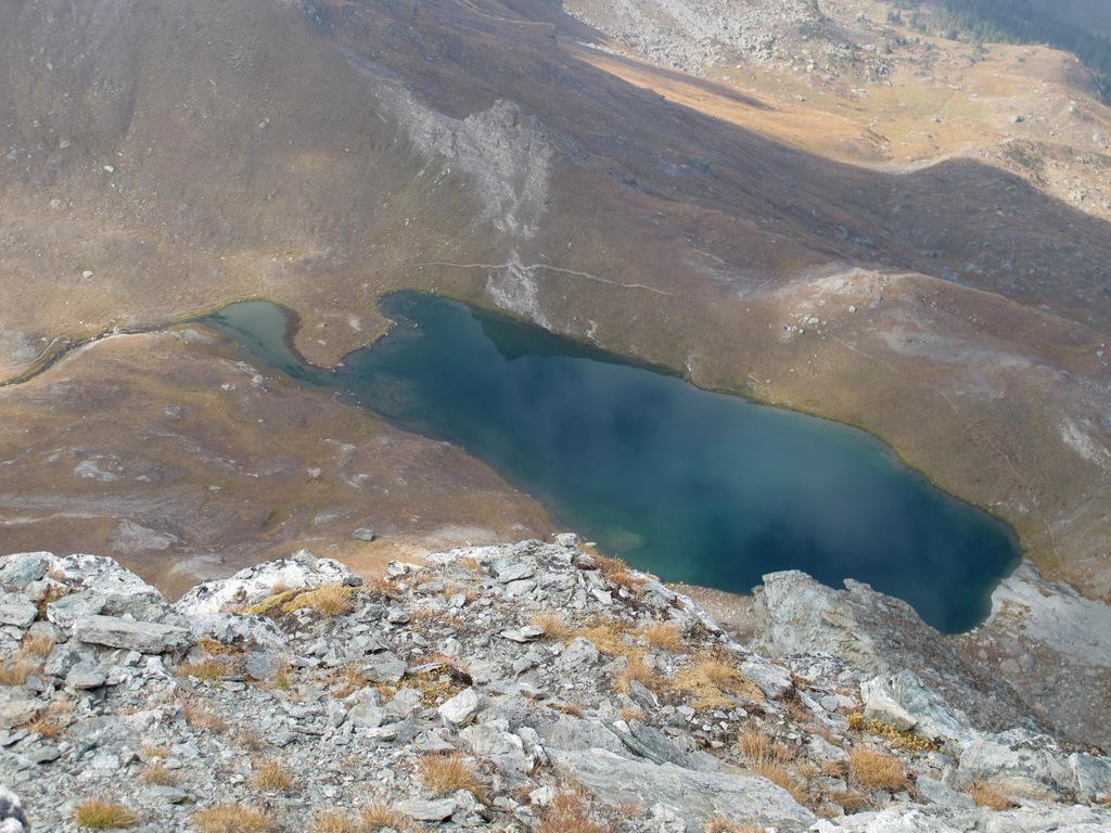
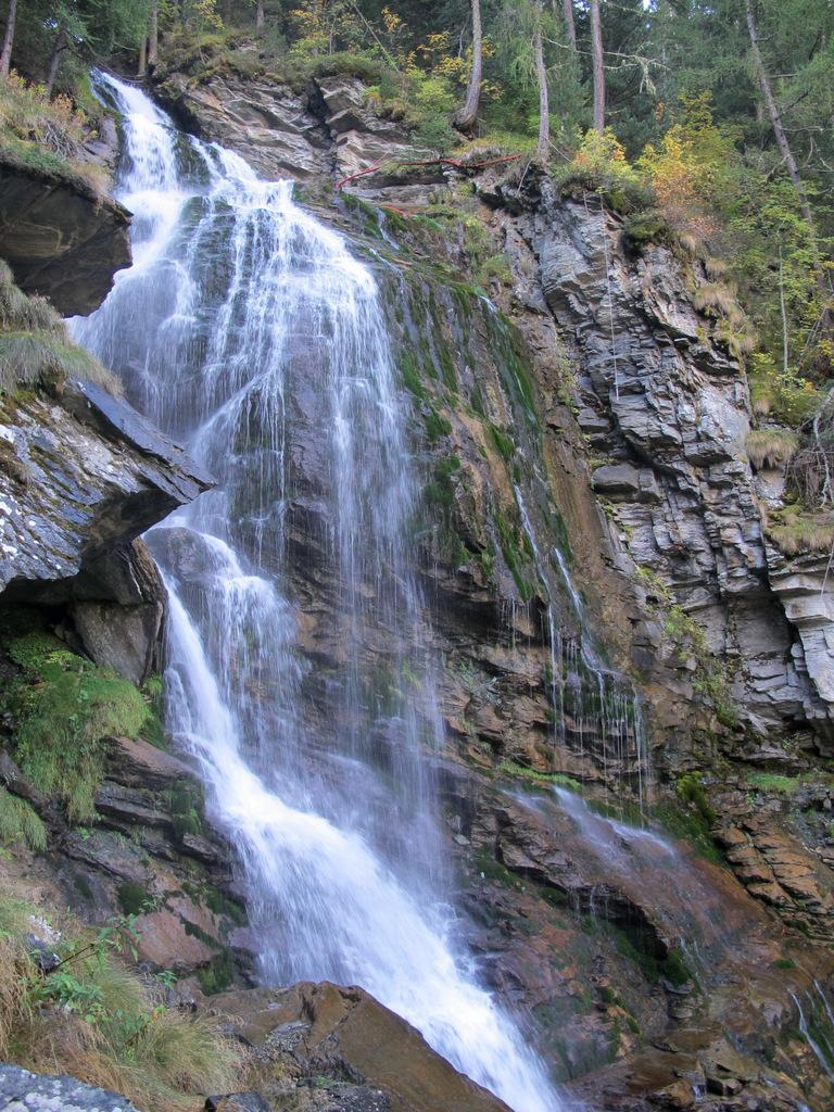
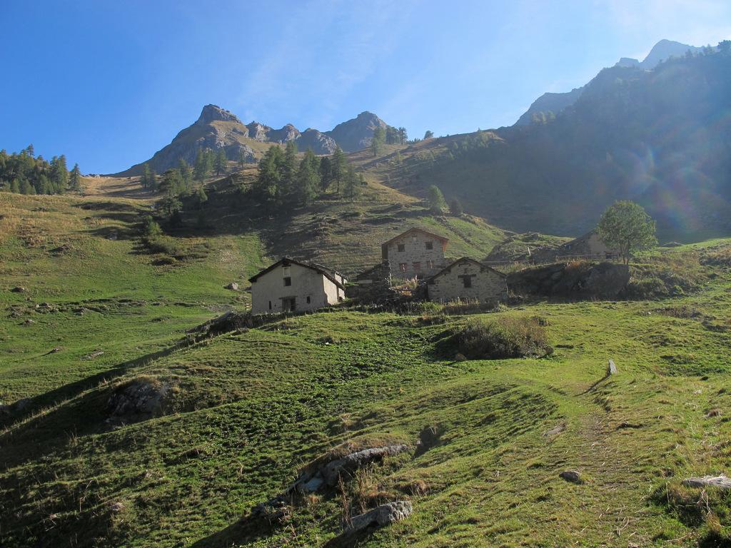
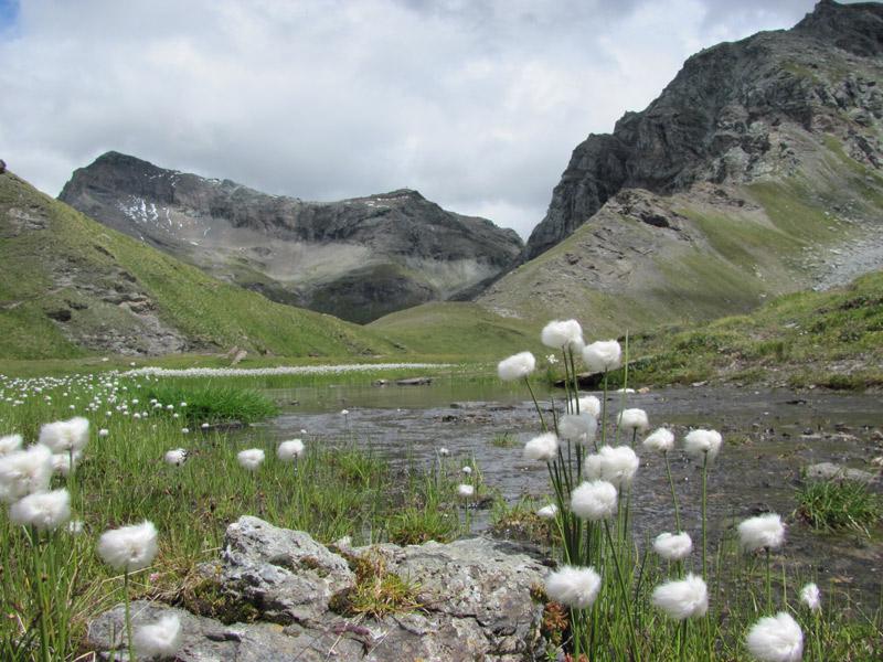
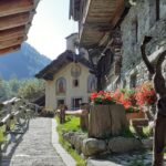
Da Champoluc (proprio all’inizio del paese nei pressi del cimitero) seguire il sentiero e le indicazioni (105 e 14) per Mascognaz. Raggiunto lo splendido gruppo di case continuare per lungo tratto sulla interpoderale che si addentra nel vallone. All’altezza dell’Alpe Chavannes, 2011 m, seguire una deviazione a sinistra dell’interpoderale che conduce all’Alpe Djemen. Qui si trovano il sentiero e la segnaletica (14a) per il Lago Perrin. Seguire il facile e ben segnalato sentiero che, alternando brevi tratti ripidi a splendidi pianori erbosi, raggiunge la piccola conca del Lago Perrin, 2635 m. Poco sopra si raggiunge il colle, seguendo il sentiero con un brevissimo tratto attrezzato con una fune corrimano.
Salita dal Vallone di Cuneaz (eventualmente usando la cabinovia da Champoluc al Crest:
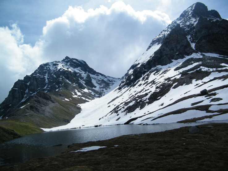
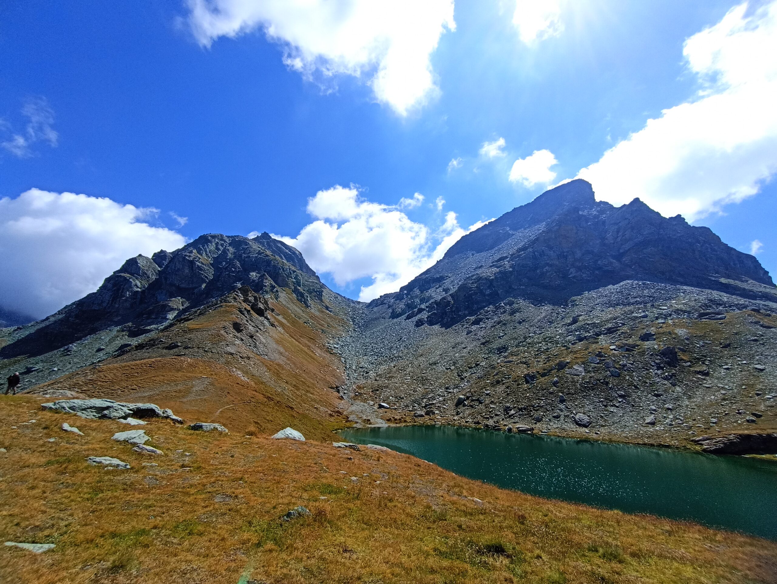
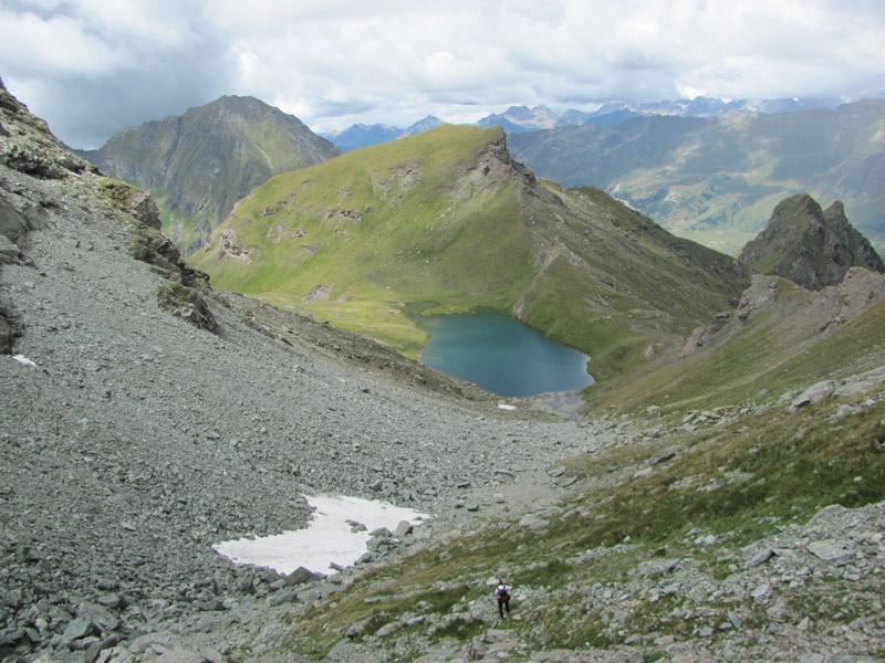
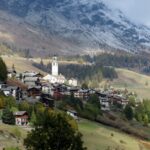
Da Champoluc si segue il sentiero n.13 che porta a Crest 1952 m e quindi a Cuneaz 2088 m. Qui si prosegue a mezza costa per poi scendere leggermente ad attraversare il ruscello, giungendo ad una baita Pian Long 2179 m. Ora si riprende a salire per dossi alternati a panoramici ripiani, puntando al colle ben individuabile sopra le nostre teste. A tratti il percorso è abbastanza ripido e faticoso, ma facilitato da un buon sentiero. Si giunge così a 2649 ml Col Perrin , che domina il bellissimo lago sottostante.
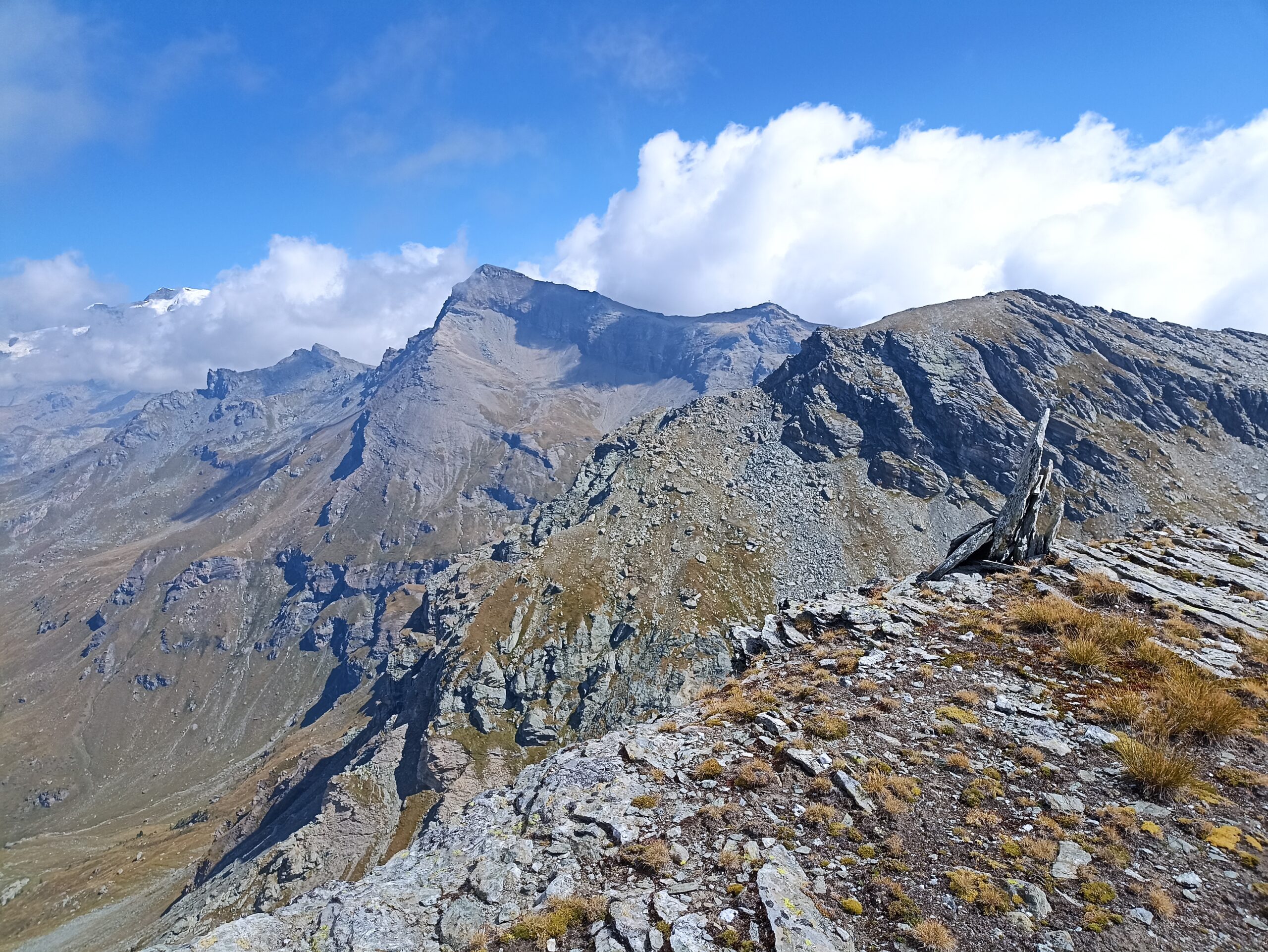
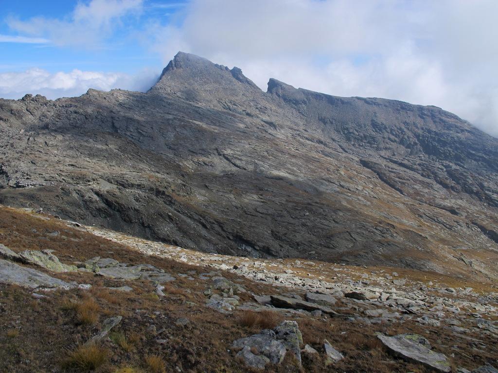
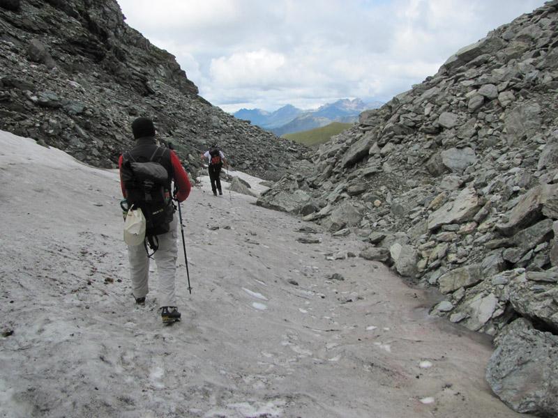
Ora i due percorsi si congiungono: si imbocca l’evidente stretto vallone racchiuso tra Punta Perrin a destra e Gran Cima a sinistra. Possibile incontrare nevai a inizio stagione, ma non creano fastidio in quanto una delle tracce (non c’è un vero sentiero) preferibili si mantiene alta sul lato sinistro per evitare la pietraia più infida sul fondo del vallone.
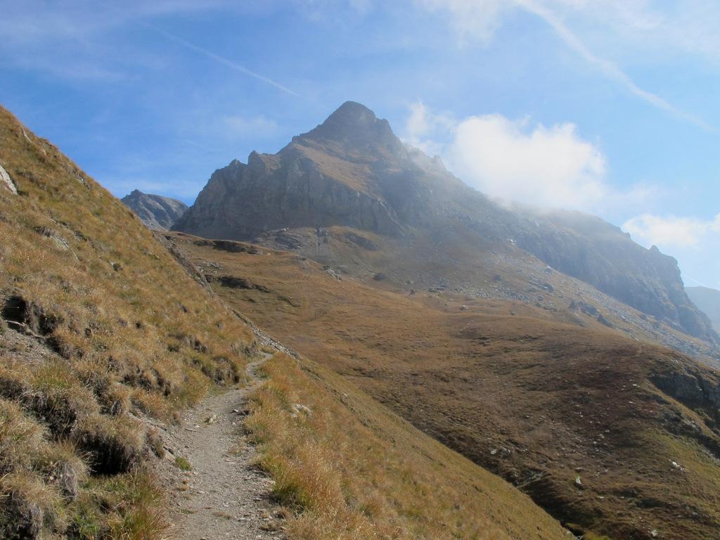
Si traversa così su terreno facile ma un po’ da camosci tra erba e piccole pietraie, fino ad arrivare in vista della sella tra le due cime 2891 m.
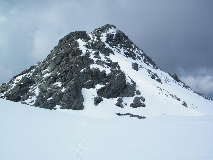
Si percorre l’ampio dosso verso destra puntando alla base del crestone nord-est della Punta Perrin.
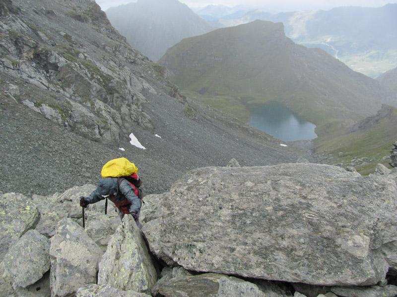
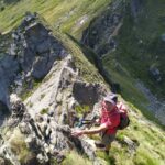
Individuando alcuni ometti, ci si abbassa di 30 m rispetto alla cresta che si presenta rocciosa, traversando quasi in piano una pietraia di grossi blocchi, finchè si arriva ad una placconata rocciosa inclinata ma ben gradinata.
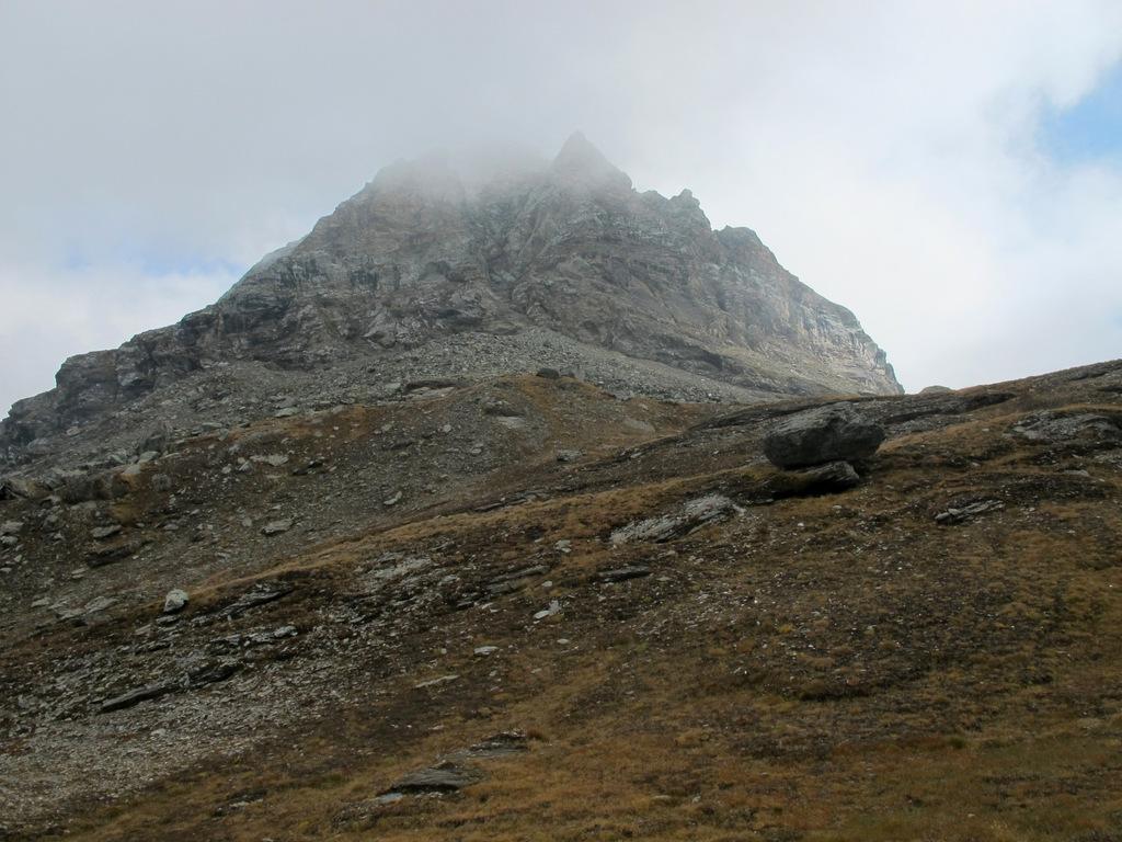
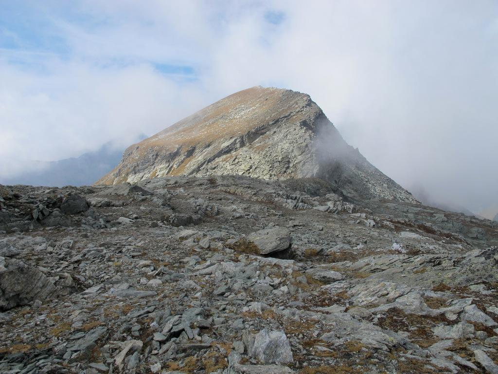
La si sale facilmente ed una volta terminata si è fuori dalla pietraia, non resta quindi che salire in diagonale per prati e macereti, puntando al crestone erboso che precede l’allungata vetta, a picco sul Lago Perrin.
Discesa per uno dei due percorsi di salita, una volta ritornati al Col Perrin.
- Cartografia:
- I.G.C. 1:25000 n. 108 Cervino Champoluc
- Bibliografia:
- Guida C.A.I.-T.C.I. Monte Rosa
Nelle vicinanze Mappa
Itinerari
15/06/2014 AO, Ayas D+ 500 m E Varie
Crest (Alpe) da Champoluc, anello per il Sentiero Walser
50m
29/10/2006 AO, Ayas D+ 1000 m EE Sud
Nonna (Monte della) da Champoluc
 50m
50m
24/08/2025 AO, Ayas D+ 1750 m EE Sud-Ovest
Grigia (Testa) da Champoluc
 50m
50m
15/06/2026 AO, Ayas D+ 1210 m E Nord-Ovest
Pinter (Colle) da Champoluc
 50m
50m
25/08/2023 AO, Champoluc D+ 600 m E Sud-Est
Crest, Mascognaz, Sousson da Champoluc, anello
 50m
50m
16/08/2018 AO, Ayas D+ 1300 m EE Tutte
Ciarcerio (Lago) e Piani di Verra da Champoluc, anello per Pallenc, Nannaz, Saint-Jacques, Mascognaz,
 50m
50m
05/07/2023 AO, Ayas D+ 1450 m EE/F Sud
Nonna (Monte della) e Monte Pezzei da Champoluc, anello per il Lago Perrin
 50m
50m
04/08/2024 AO, Champoluc D+ 700 m E Varie
Saler, Contenery e Ciarcerio (Laghi) da Champoluc
50m
05/01/2025 AO, Ayas D+ 350 m T Varie
Magneaz e Antagnod (Frazioni) da Champoluc, anello
 50m
50m
11/07/2025 AO, Ayas D+ 1500 m EE Varie
Gran Cima da Champoluc, anello Valloni Mascognaz e Cuneaz
 50m
50m