3.4Km
3.4Km
Note
Storico
 250m
250m
300m
1.2Km
1.3Km
2.1Km
2.3Km
2.3Km
250m
250m
300m
1.2Km
1.3Km
2.1Km
2.3Km
2.3Km
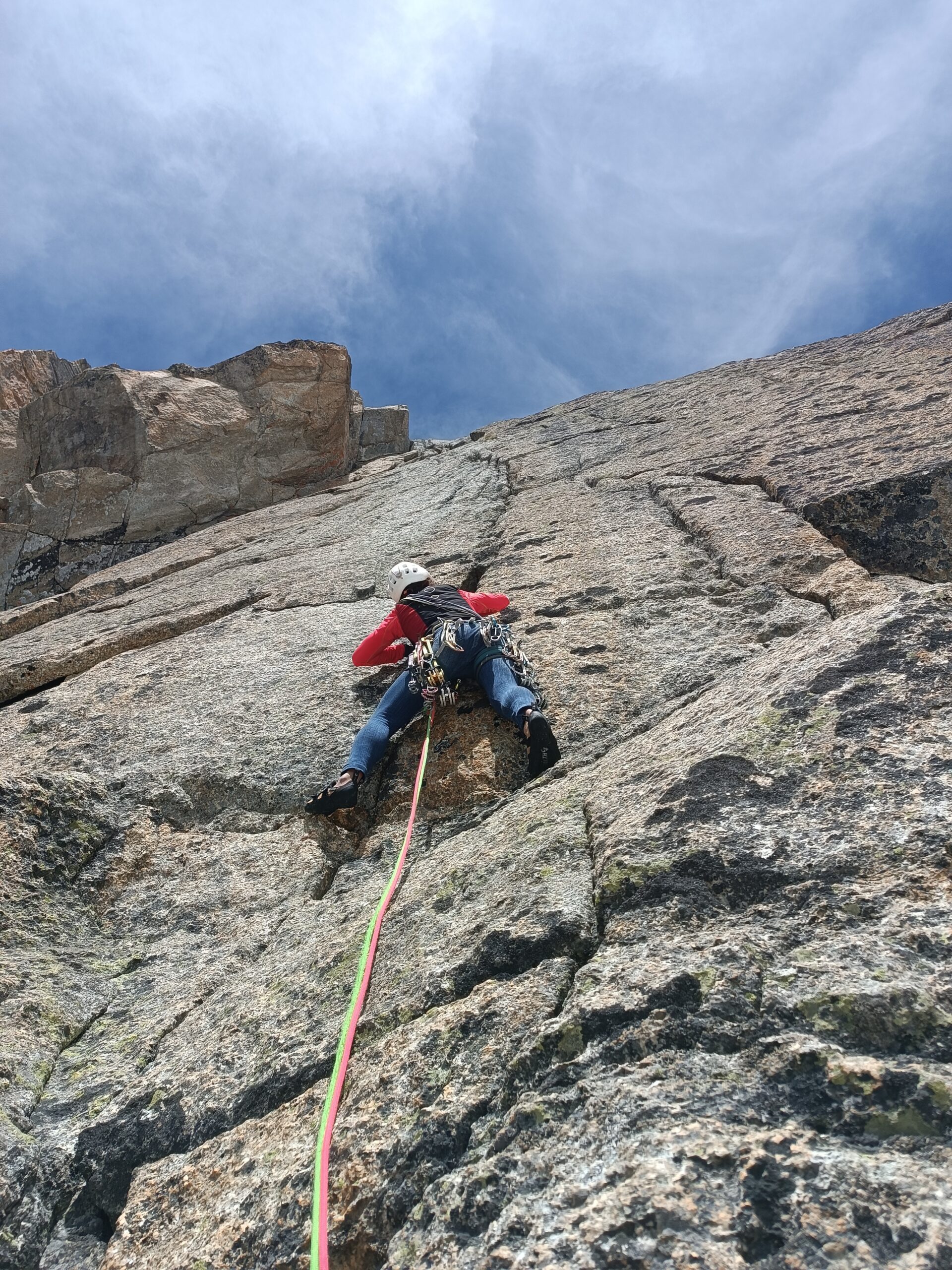
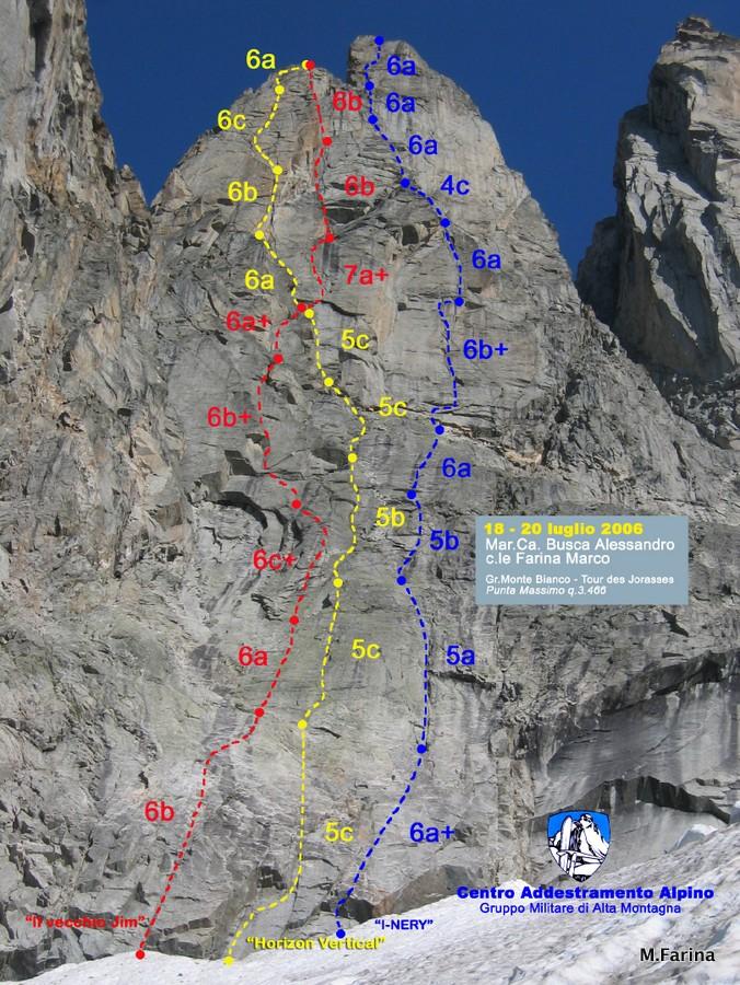
N.D.A., 10 Rinvii, 2 Corde da 60 mt., Friends Camalot fino al N° 3.5 (Doppi i N° 0.5 – 0.75 – 1).
Avvicinamento
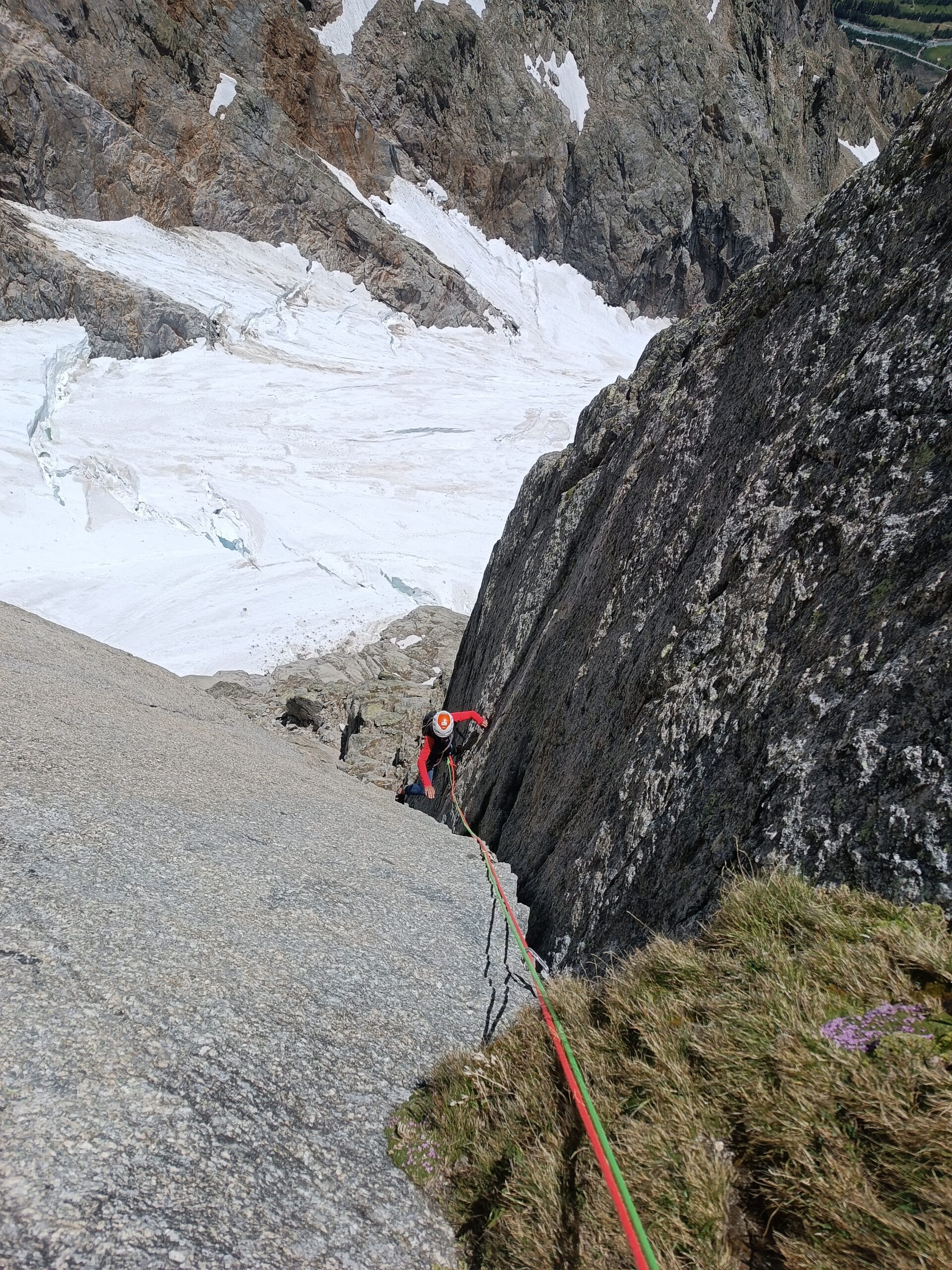
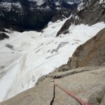
da Plampincieux in Val Ferret, seguire il sentiero per il RIF. BOCCALATTE fino al termine della morena, entrare sul Ghiacciaio delle Grandes Jorasses e risalirne il suo ramo di destra fino alla base della Parete Sud – Est di “Punta Massimo” q. 3466. (h. 2.30 – 3.00)
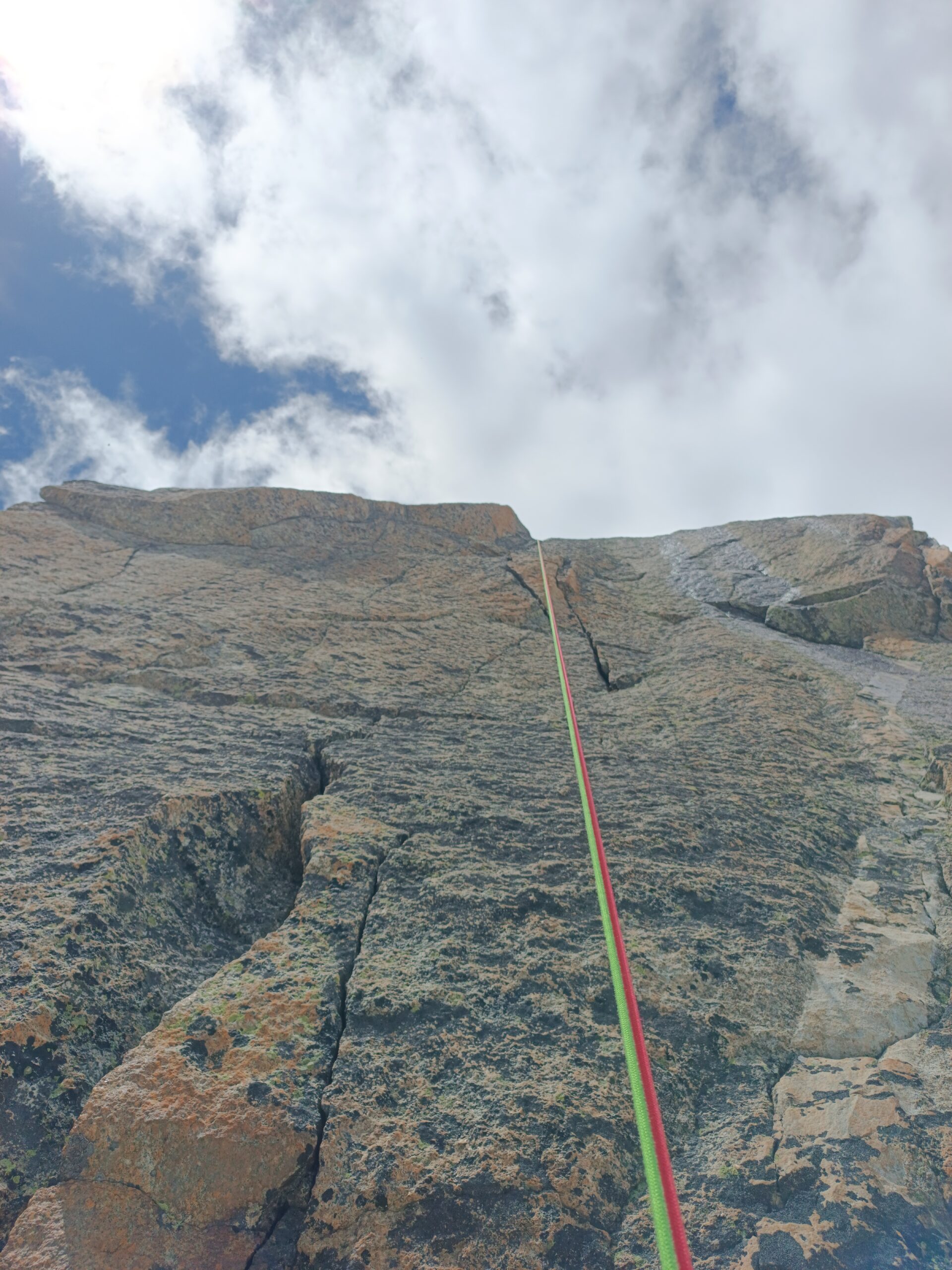
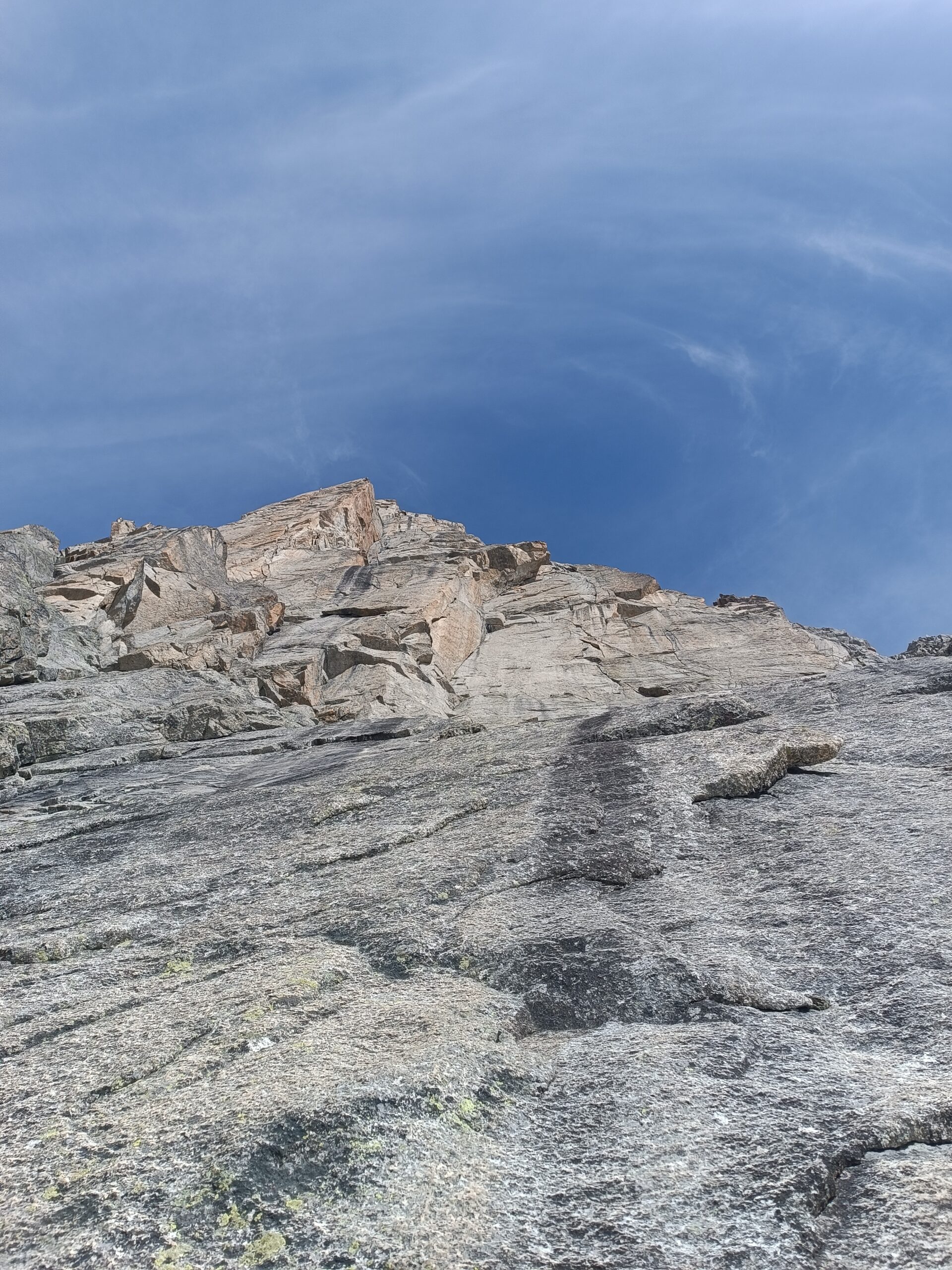
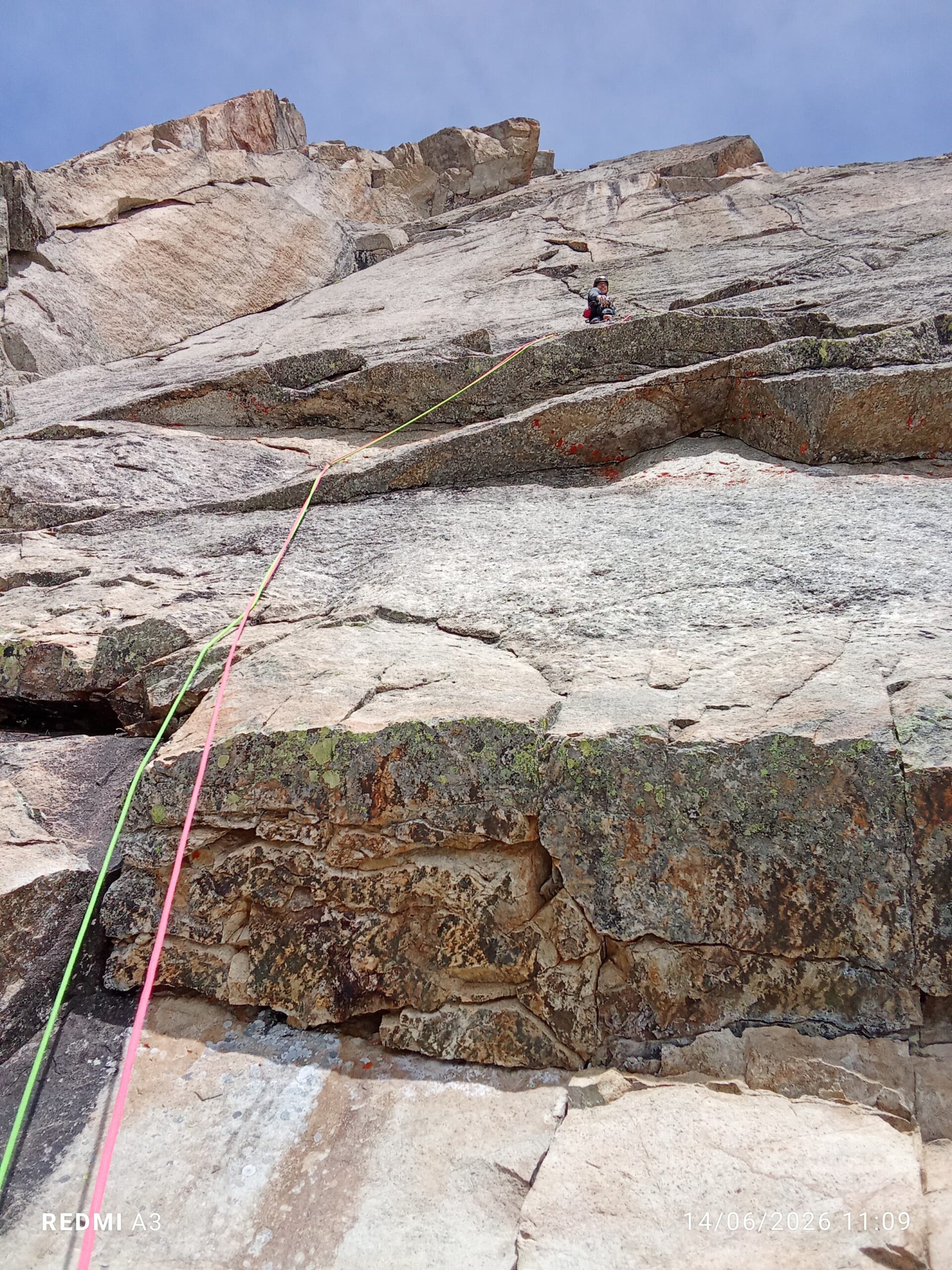
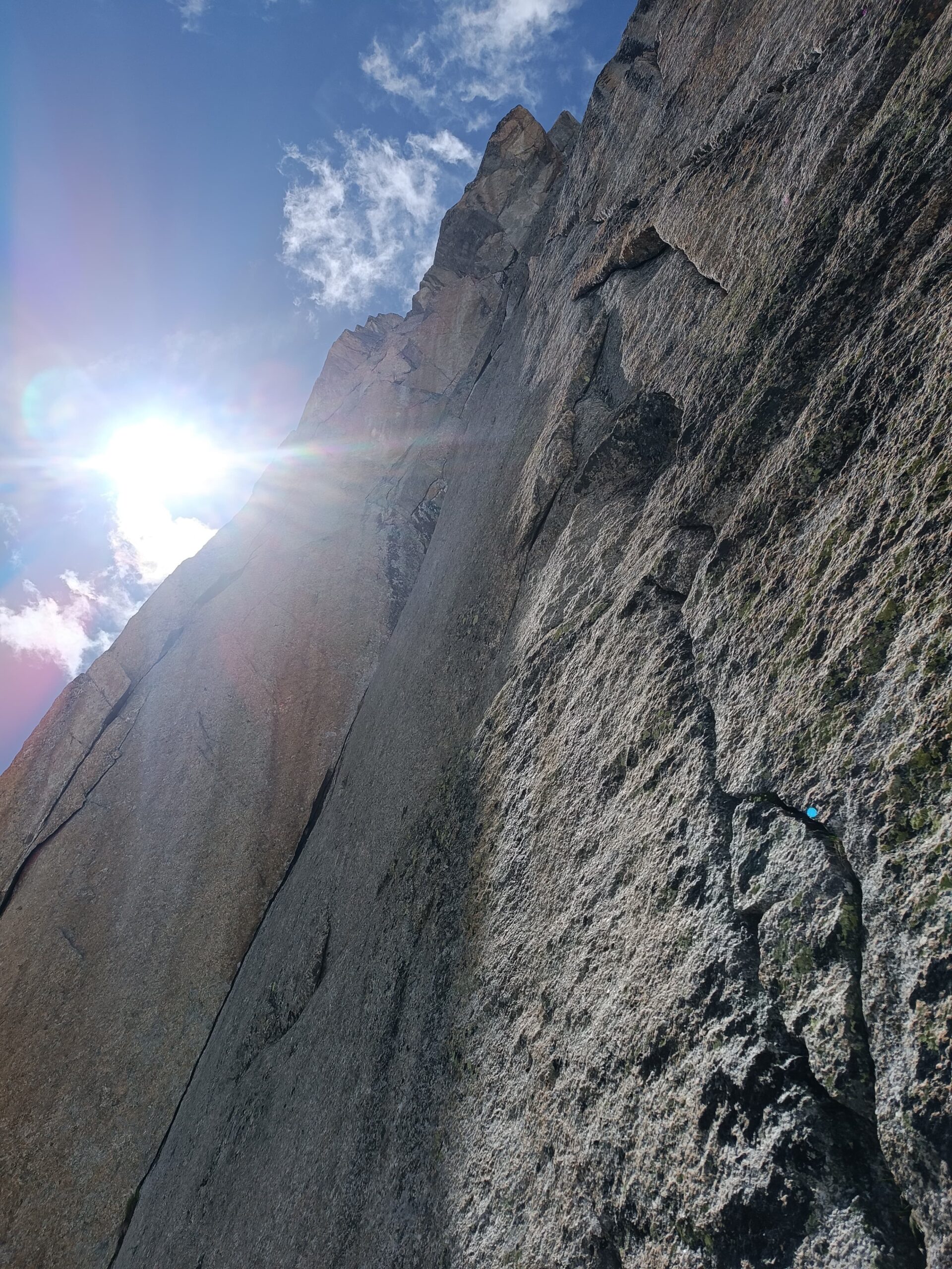
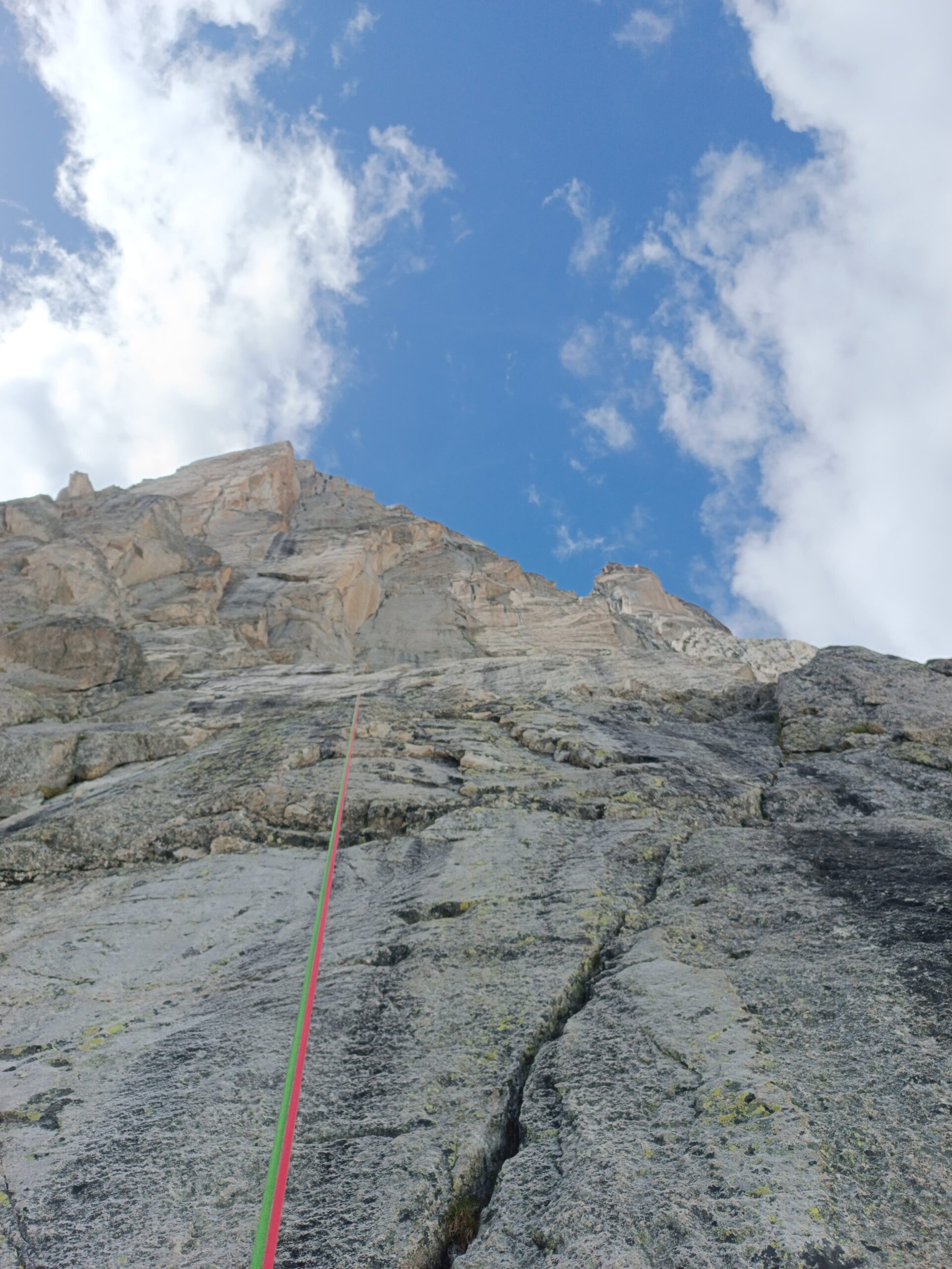
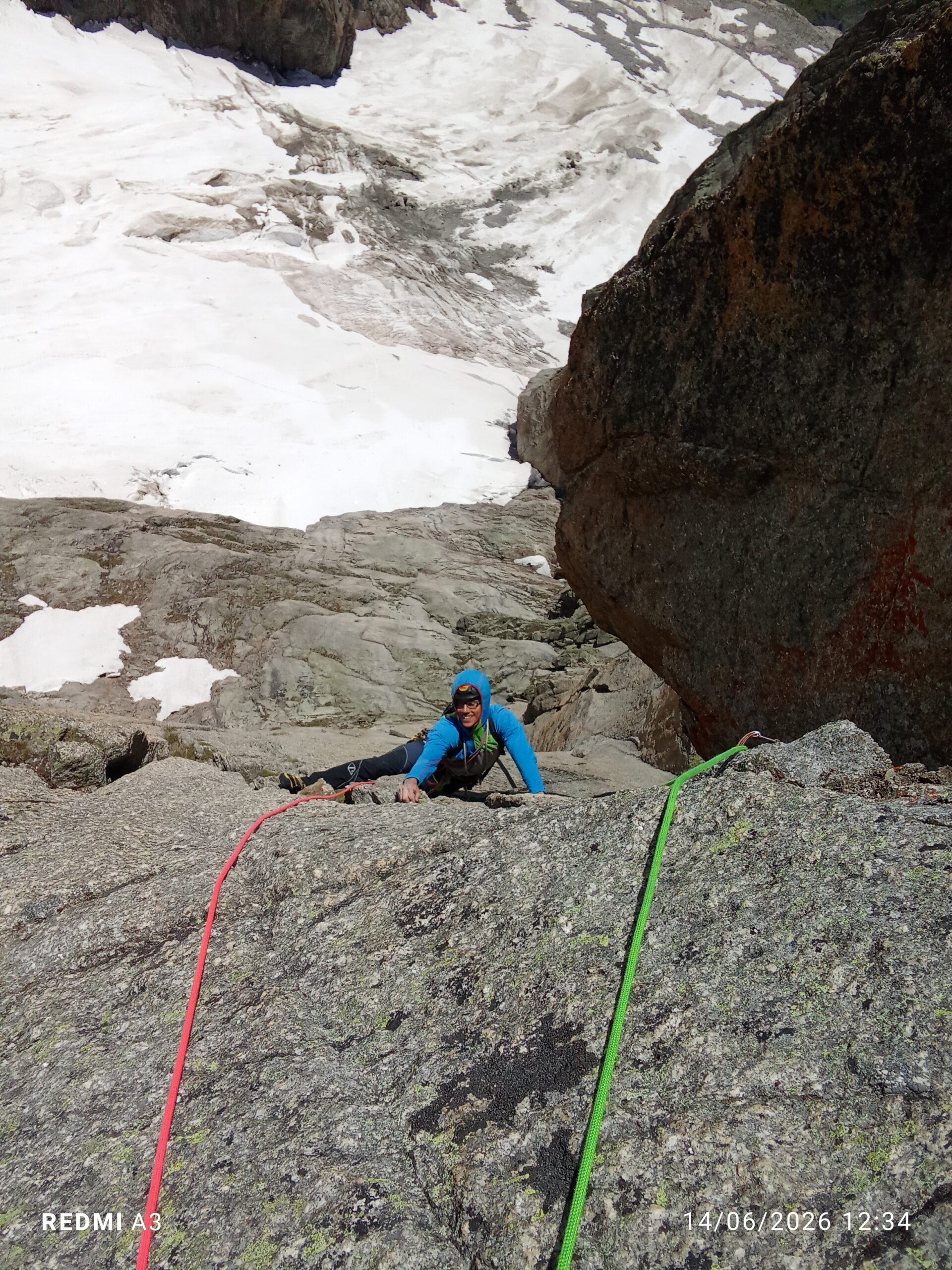
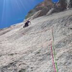
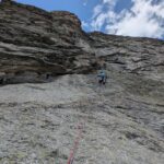
Descrizione
Discesa: le soste sono attrezzate con fix-inox e placchette con anello (RAUMER) per le calate in corda doppia.
Itinerario aperto il 6 settembre 2006 da A.Busca e M.Farina sulla Punta Massimo 3466m nel Settore della Tour des Jorasses nel Gruppo del Monte Bianco, dove avevano già realizzato nel mese di Luglio 2006 “IL VECCHIO JIM” e “HORIZON VERTICAL“.
- Cartografia:
- Carta dei sentieri 1:25000 - Monte Bianco Courmayeur
Nelle vicinanze Mappa
Itinerari
21/08/2021 AO, Courmayeur 6c, 6b obbl. Sud-Est
Jorasses (Tour des), quota 3466 m o Punta Massimo – Horizon Vertical
 250m
250m
13/06/2026 AO, Courmayeur 7b, 6c obbl. Sud-Est
Jorasses (Tour des) – Etoiles Filantes
 250m
250m
21/07/2012 AO, Courmayeur 7a, 6b obbl. Sud-Est
Jorasses (Tour des), quota 3466 m o Punta Massimo – Il Vecchio Jim
 300m
300m
07/07/2013 AO, Courmayeur 6a, 6a obbl. Sud
Jorasses (Tour des) – Via Machetto
600m
21/07/2013 AO, Courmayeur 7b+, 7a+ obbl. Sud-Est
Jorasses (Tour des) – Abysse
900m
01/07/2018 AO, Courmayeur 6b+, 6a obbl. Sud-Ovest
Eveque (Aiguille de l’) – Les Pèlerins et la Dame
 1.2Km
1.2Km
20/09/2019 AO, Courmayeur 6b+, 6a obbl. Sud
Jorasses (Tour de), sperone sud – Lezioni di Piano
 1.3Km
1.3Km
09/08/2011 AO, Courmayeur 7a, 6c obbl. Sud
Eveque (Aiguille de l’), pilastro – Straordinaria
 2.1Km
2.1Km
14/06/2026 AO, Courmayeur 7b, 6c obbl. Sud
Petites Jorasses – Pantagruel
 2.3Km
2.3Km
05/07/2025 AO, Courmayeur 6b+, 6a+ obbl. Sud-Ovest
Greuvetta (Petit Mont) – Dromi
 2.3Km
2.3Km