 3.2Km
3.2Km
Avvicinamento
Storico
 150m
200m
300m
1Km
1.2Km
1.9Km
2.5Km
2.6Km
150m
200m
300m
1Km
1.2Km
1.9Km
2.5Km
2.6Km
.
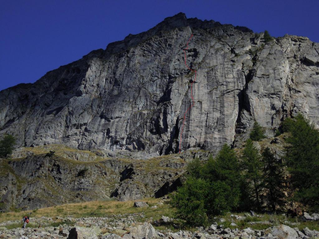
Descrizione
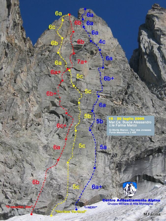
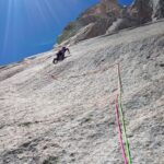
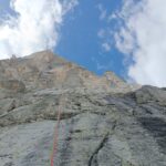
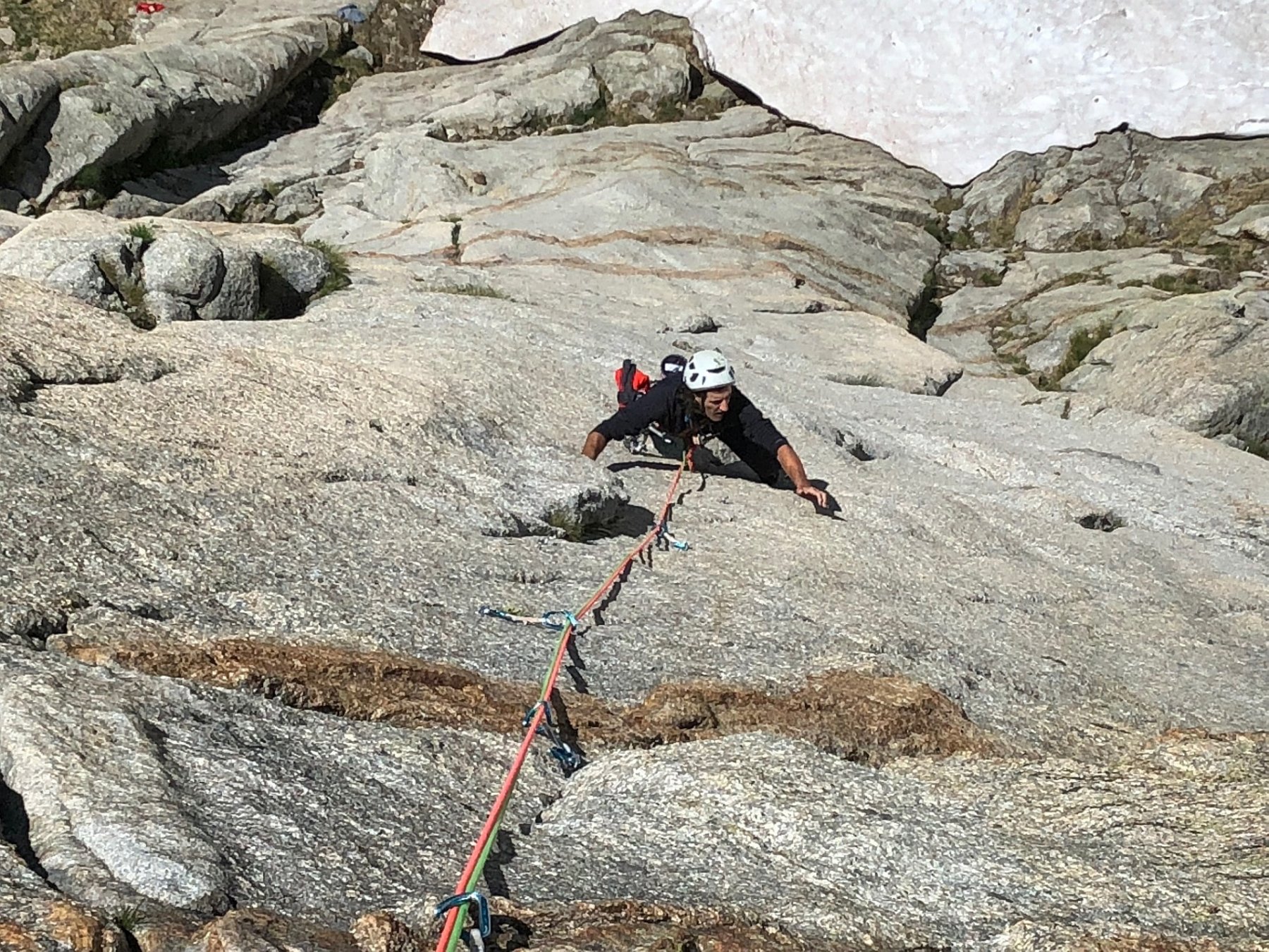
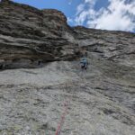
Tutte le soste sono attrezzate con fix-inox e placchette con anello ( Raumer ) per le calate in corda doppia.
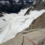
AVVICINAMENTO: da Plampincieux in Val Ferret, seguire il sentiero per il RIF. BOCCALATTE fino al termine della morena, entrare sul Ghiacciaio delle Grandes Jorasses e risalirne il suo ramo di destra fino alla base della Parete Sud – Est di “Punta Massimo” q. 3466. (h. 2.30 – 3.00)
MATERIALE: N.D.A., 10 Rinvii, 2 Corde da 60 mt., Friends Camalot fino al N° 3.5 (Doppi N° 0.5 – 0.75 – 1).
DISCESA: in Doppia sulla Via.
Itinerario aperto il 18 luglio 2006 da A. Busca e M. Farina nel settore della Tour des Jorasses nel Gruppo del Monte Bianco. Più precisamente, la via, che ha uno sviluppo di 350 metri circa, è stata tracciata sulla parete Sud – Est della q. 3466 a sinistra della Tour des Jorasses in un ambiente di grande bellezza in una zona del Monte Bianco ancora selvaggia e poco frequentata.
Gli apritori hanno deciso di chiamare la q. 3466 “Punta Massimo” in ricordo di Massimo FARINA
Gli apritori hanno deciso di chiamare la q. 3466 “Punta Massimo” in ricordo di Massimo FARINA
- Cartografia:
- Carta dei sentieri 1:25000 - Monte Bianco Courmayeur
Nelle vicinanze Mappa
Itinerari
13/06/2026 AO, Courmayeur 7b, 6c obbl. Sud-Est
Jorasses (Tour des) – Etoiles Filantes
 150m
150m
21/08/2021 AO, Courmayeur 6c, 6b obbl. Sud-Est
Jorasses (Tour des), quota 3466 m o Punta Massimo – Horizon Vertical
 200m
200m
14/06/2026 AO, Courmayeur 6b+, 6a+ obbl. Sud-Est
Jorasses (Tour des), quota 3466 m o Punta Massimo – I-Nery
 300m
300m
07/07/2013 AO, Courmayeur 6a, 6a obbl. Sud
Jorasses (Tour des) – Via Machetto
350m
01/07/2018 AO, Courmayeur 6b+, 6a obbl. Sud-Ovest
Eveque (Aiguille de l’) – Les Pèlerins et la Dame
 1Km
1Km
21/07/2013 AO, Courmayeur 7b+, 7a+ obbl. Sud-Est
Jorasses (Tour des) – Abysse
1.1Km
20/09/2019 AO, Courmayeur 6b+, 6a obbl. Sud
Jorasses (Tour de), sperone sud – Lezioni di Piano
 1.2Km
1.2Km
09/08/2011 AO, Courmayeur 7a, 6c obbl. Sud
Eveque (Aiguille de l’), pilastro – Straordinaria
 1.9Km
1.9Km
14/06/2026 AO, Courmayeur 7b, 6c obbl. Sud
Petites Jorasses – Pantagruel
 2.5Km
2.5Km
05/07/2025 AO, Courmayeur 6b+, 6a+ obbl. Sud-Ovest
Greuvetta (Petit Mont) – Dromi
 2.6Km
2.6Km