1.1Km
1.1Km

Note
 50m
50m
1.5Km
1.5Km
1.5Km
1.9Km
1.9Km
1.9Km
1.9Km
1.9Km
50m
50m
1.5Km
1.5Km
1.5Km
1.9Km
1.9Km
1.9Km
1.9Km
1.9Km
1.1Km
4.8Km
5Km
7.7Km
7.8Km
7.8Km
7.9Km
8.3Km
8.6Km
10Km
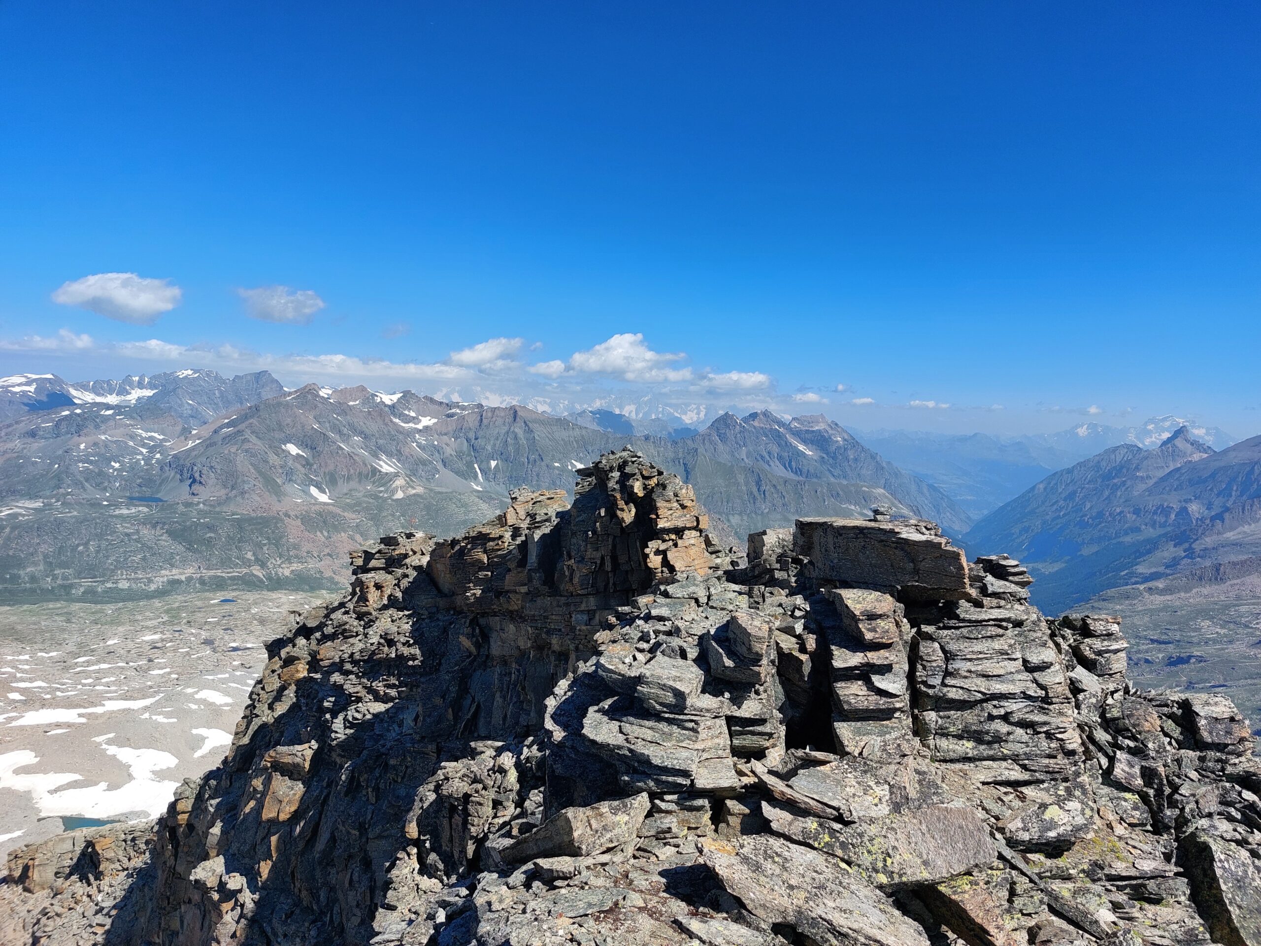
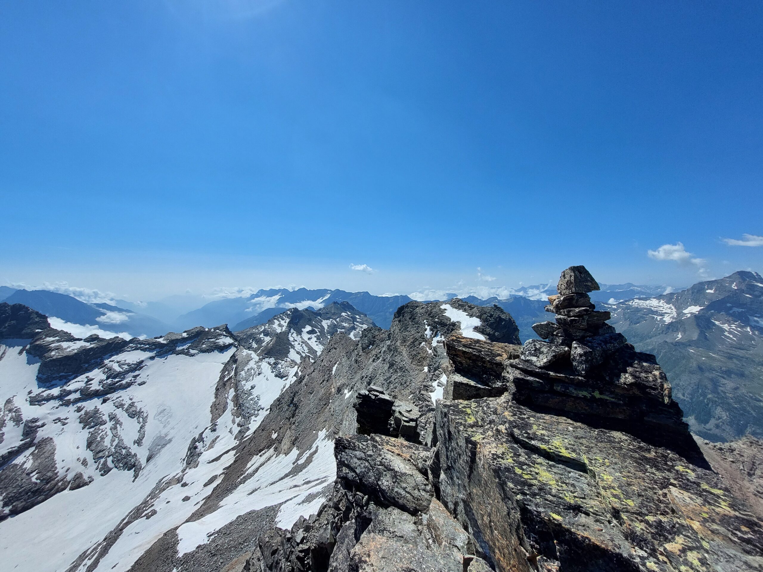
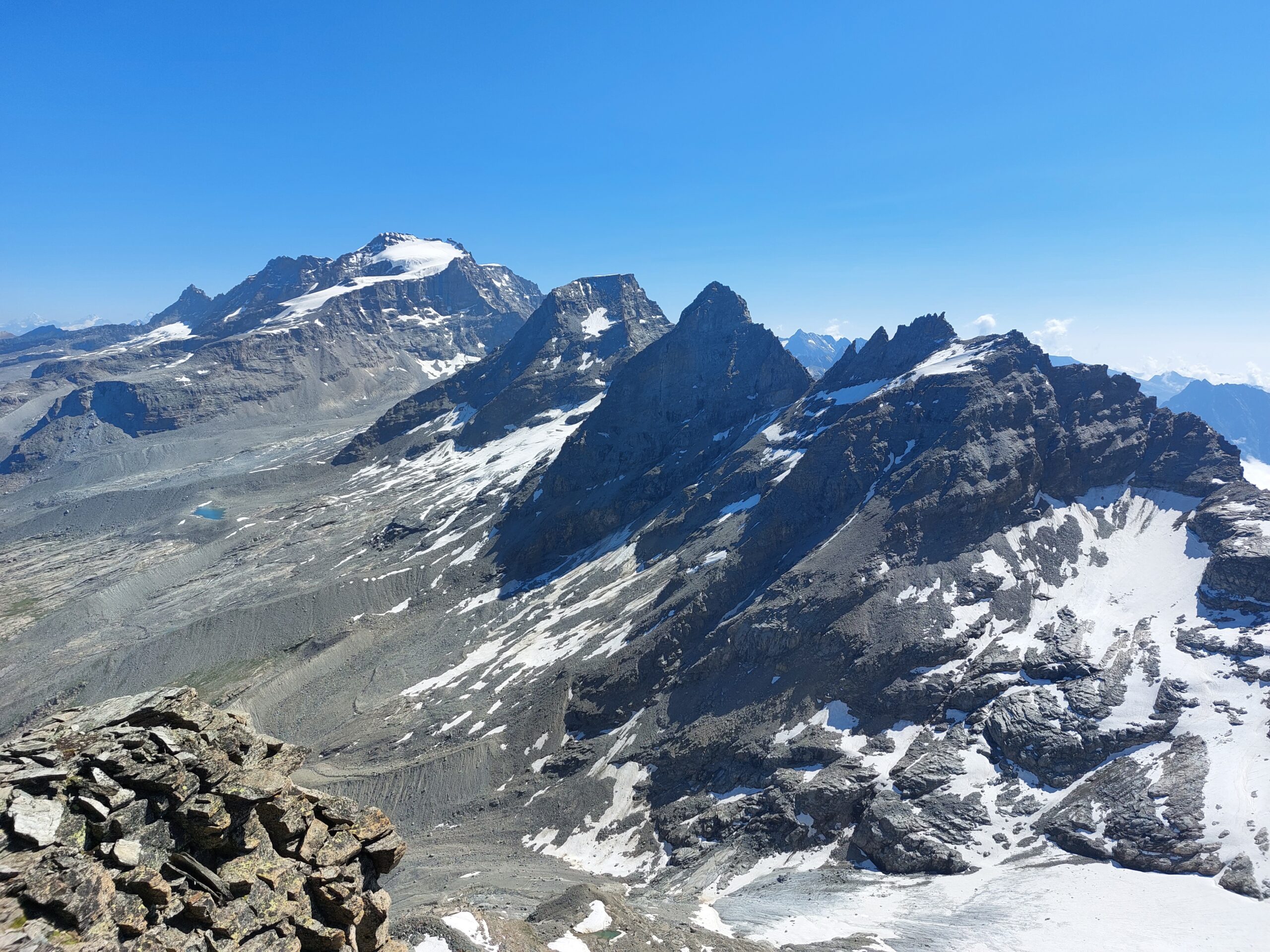
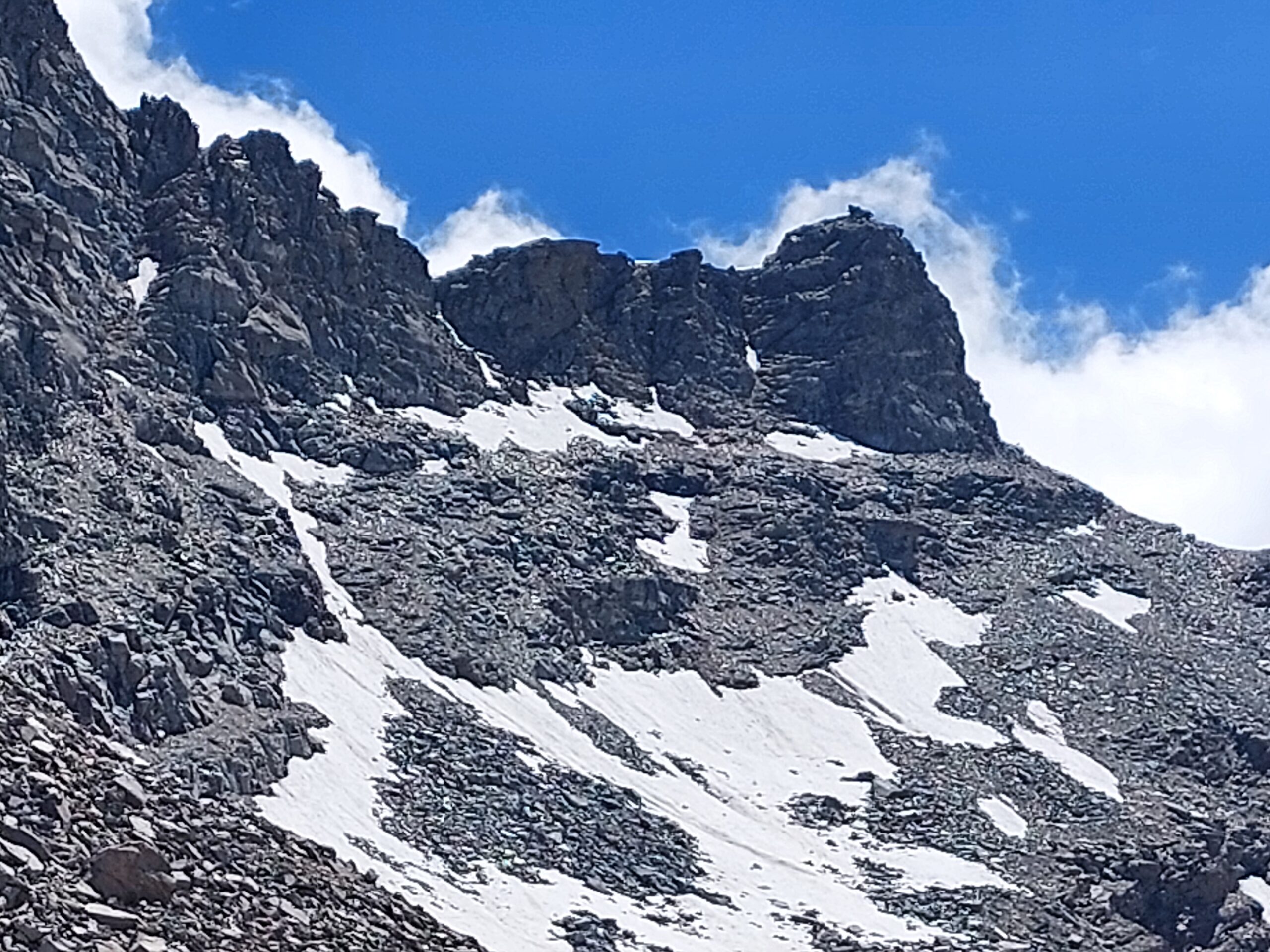
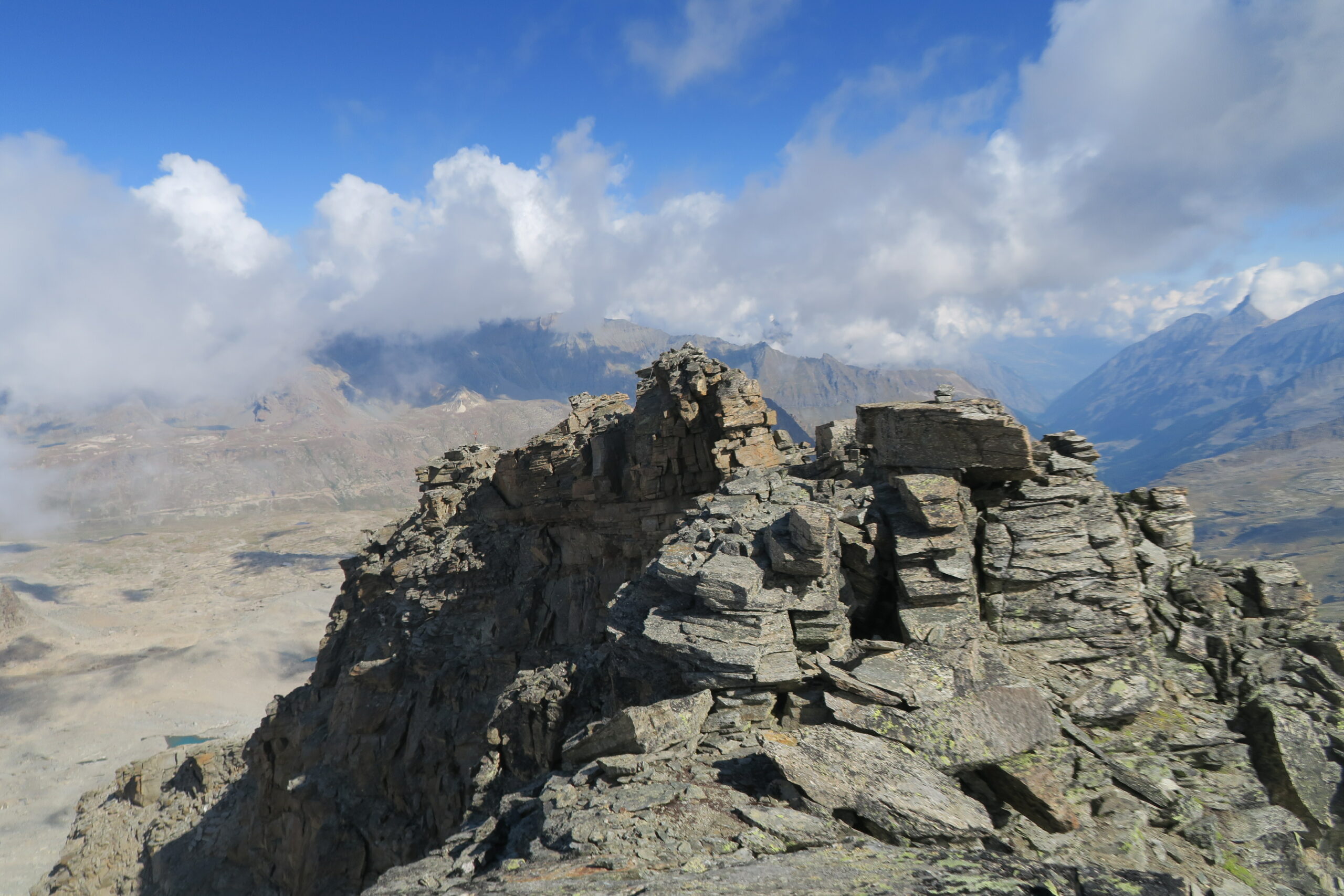
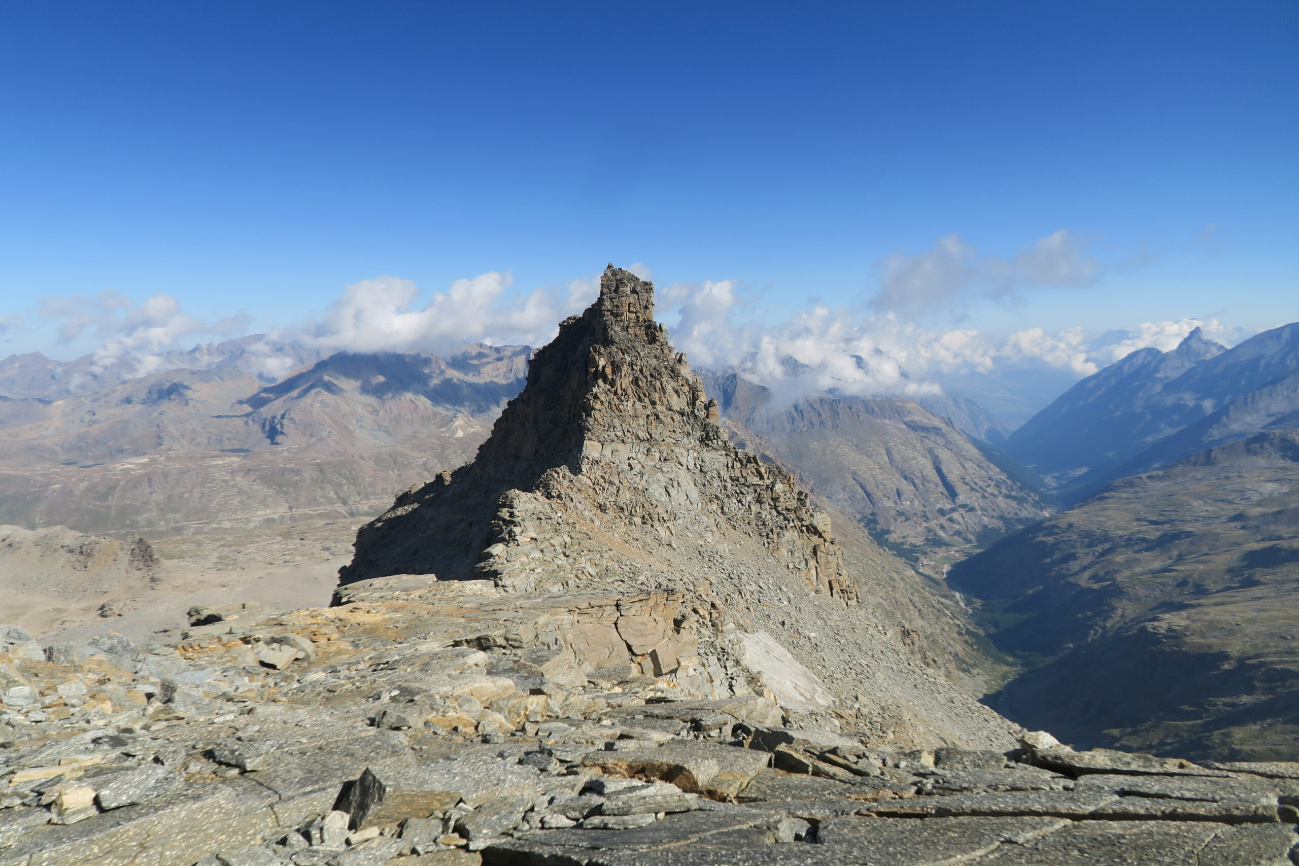
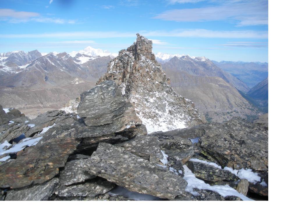
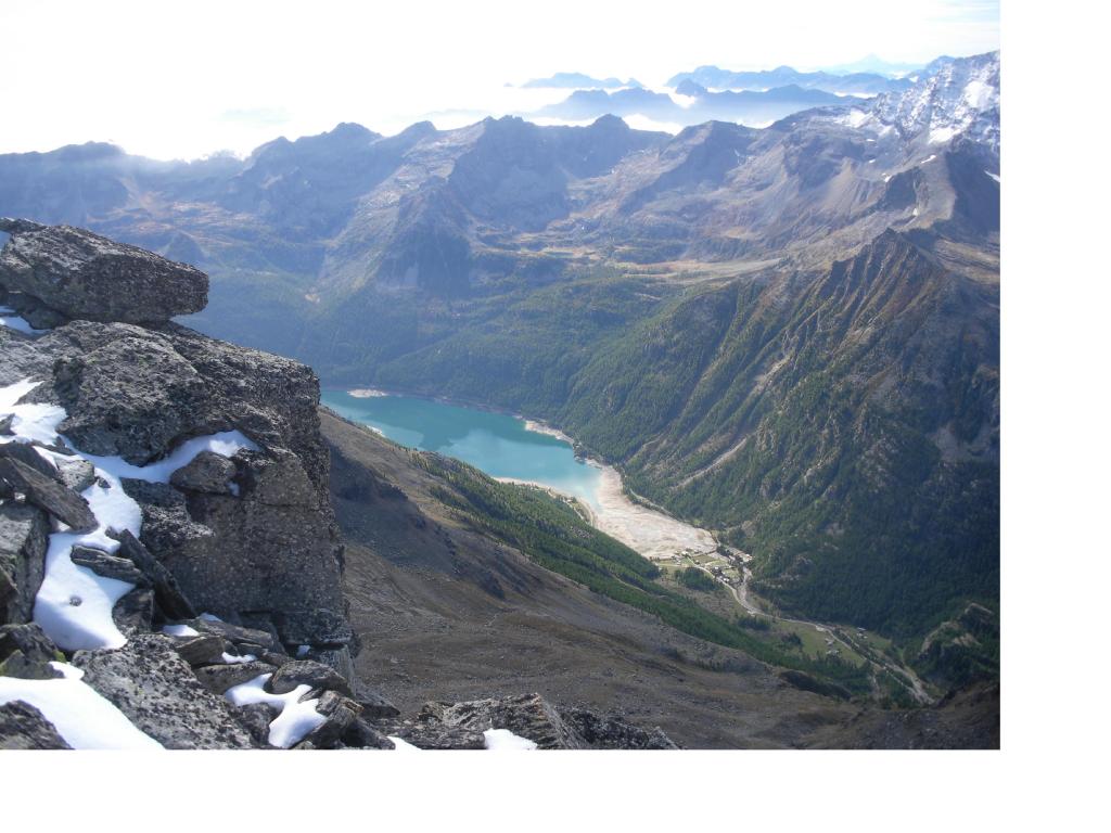
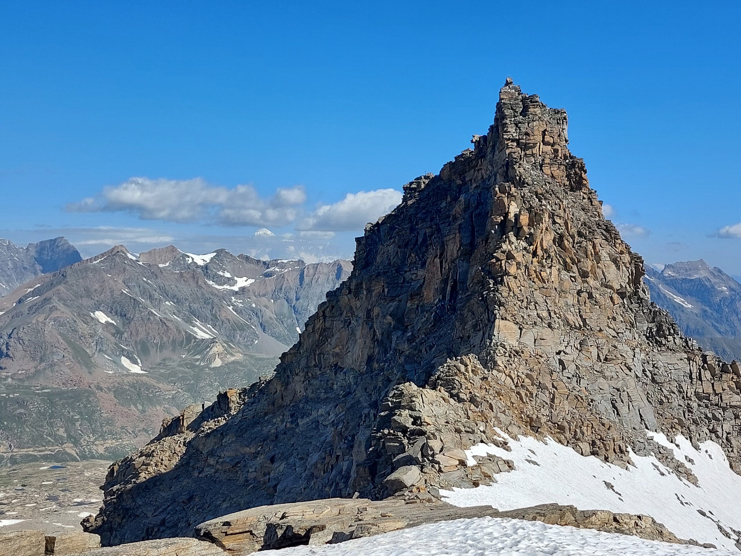
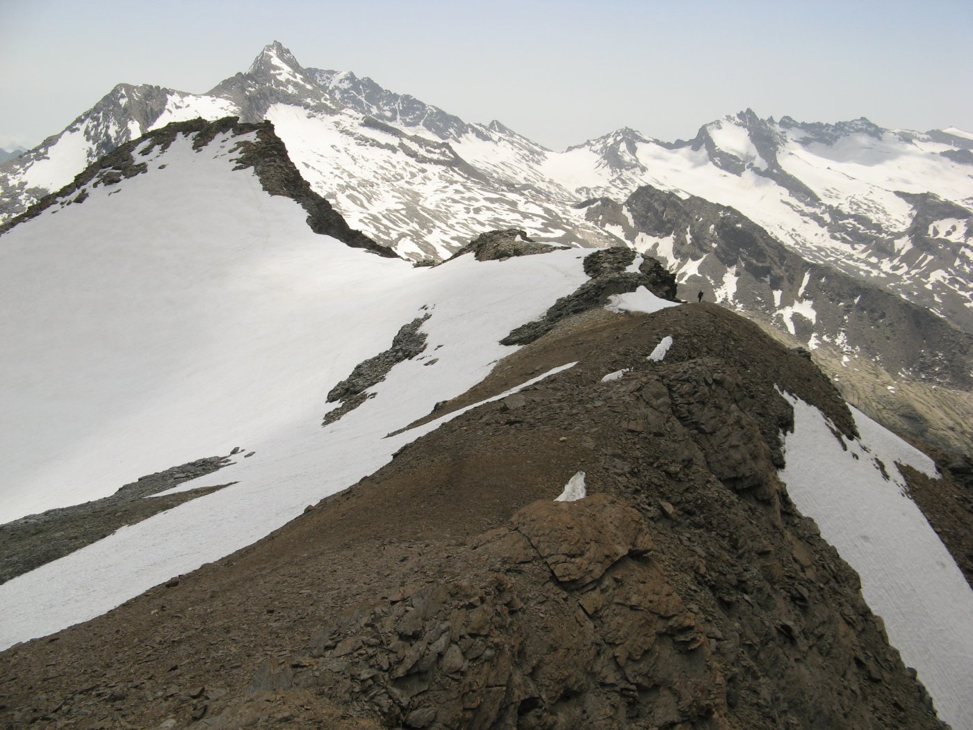
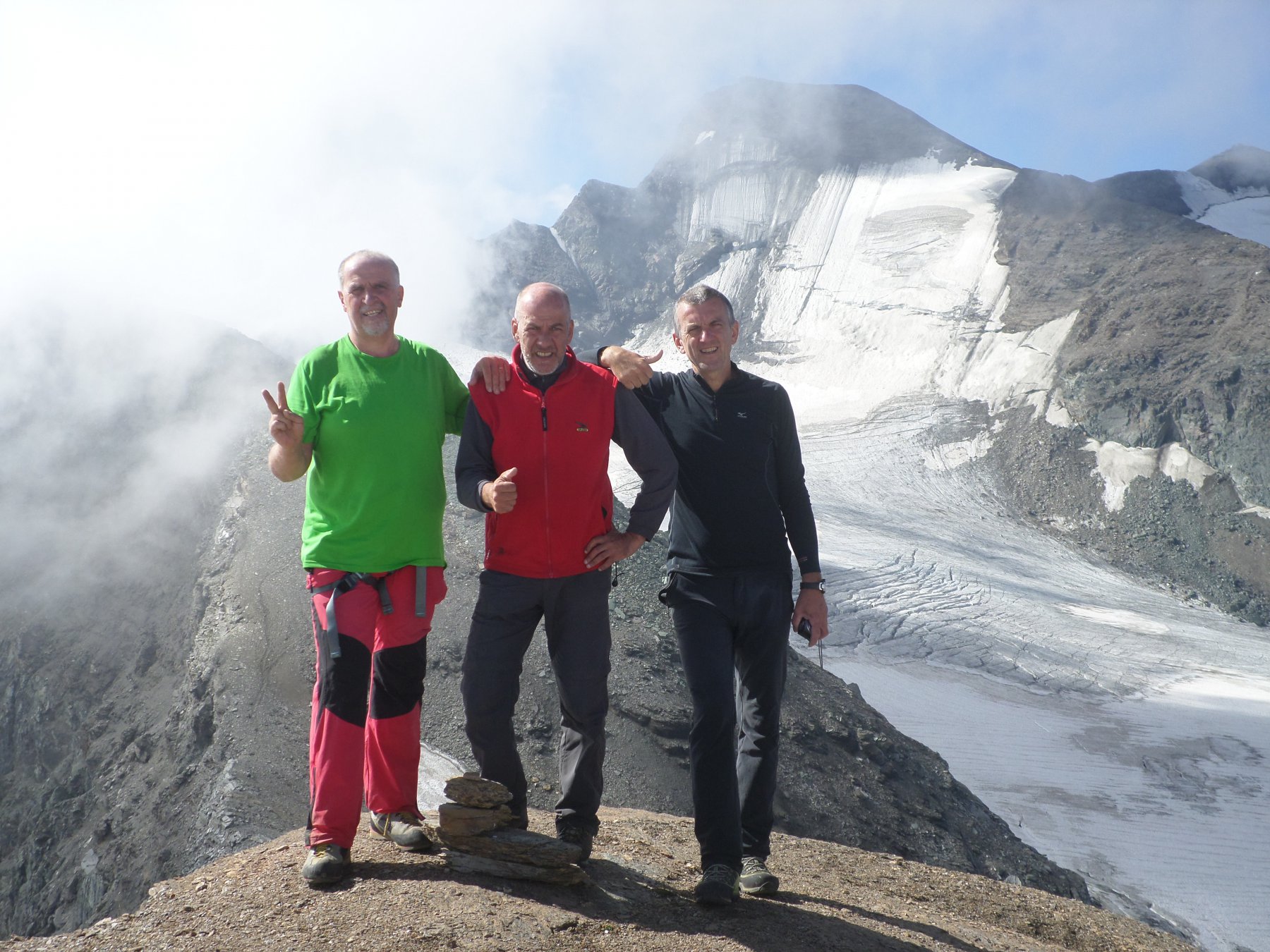
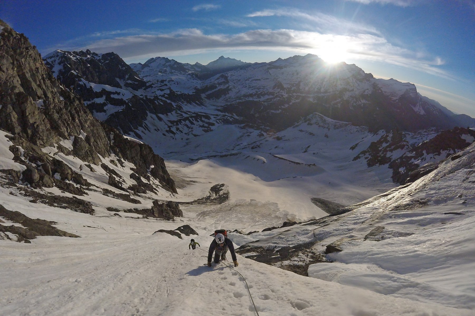
La Mare Percia non ha grande interesse alpinistico, ma offre un buon panorama specie sul vicino Gruppo del Gran Paradiso.La salita e consigliabile se unita alla traversata per cresta alla Punta Foura'. Traversata che puo' anche essere facilmente effettuata in senso contrario a quello proposto. Cioe' Foura' Mare Percia, come in genere fanno i pochi alpinisti che si avvicinano a questa montagna.
Avvicinamento
.
Descrizione
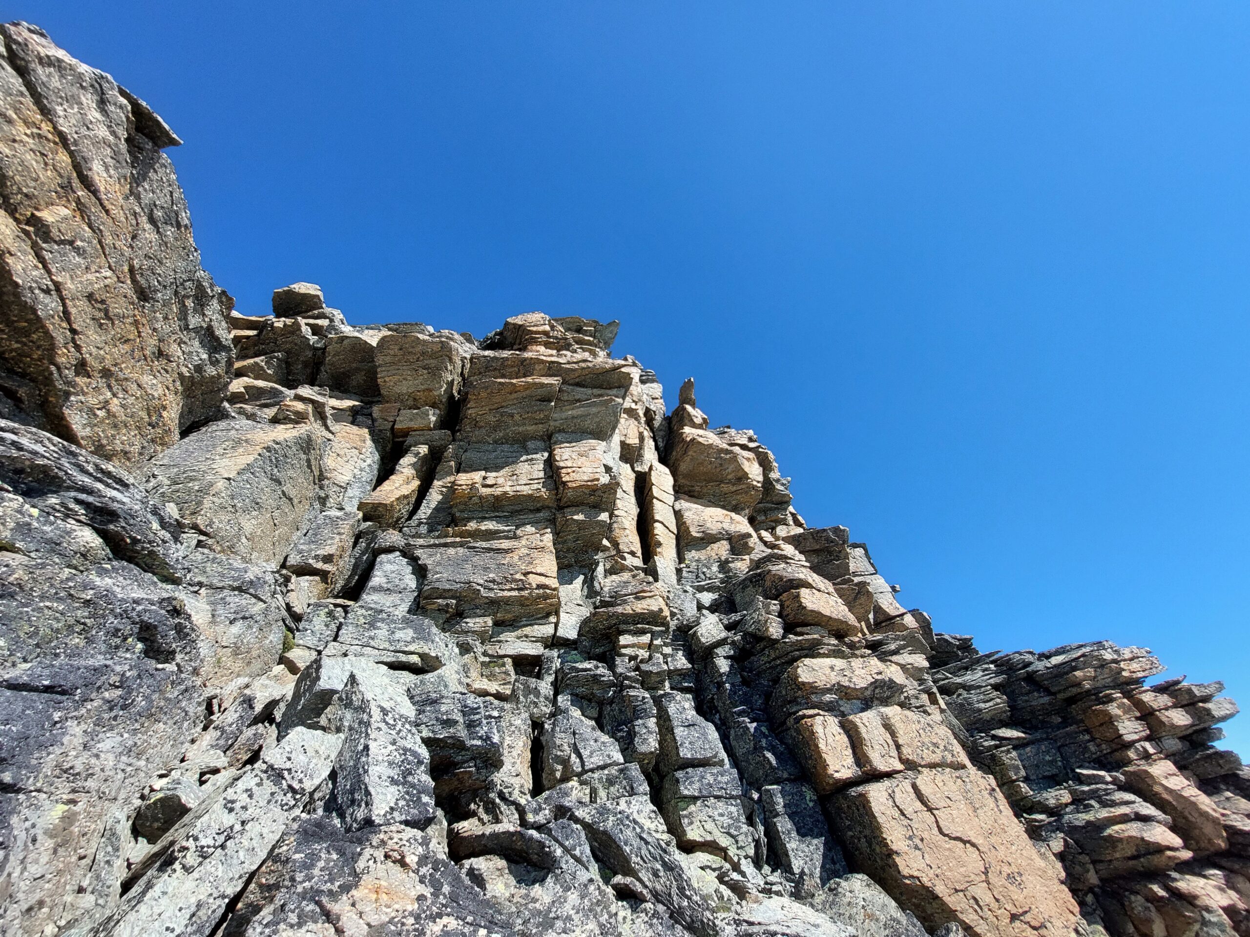
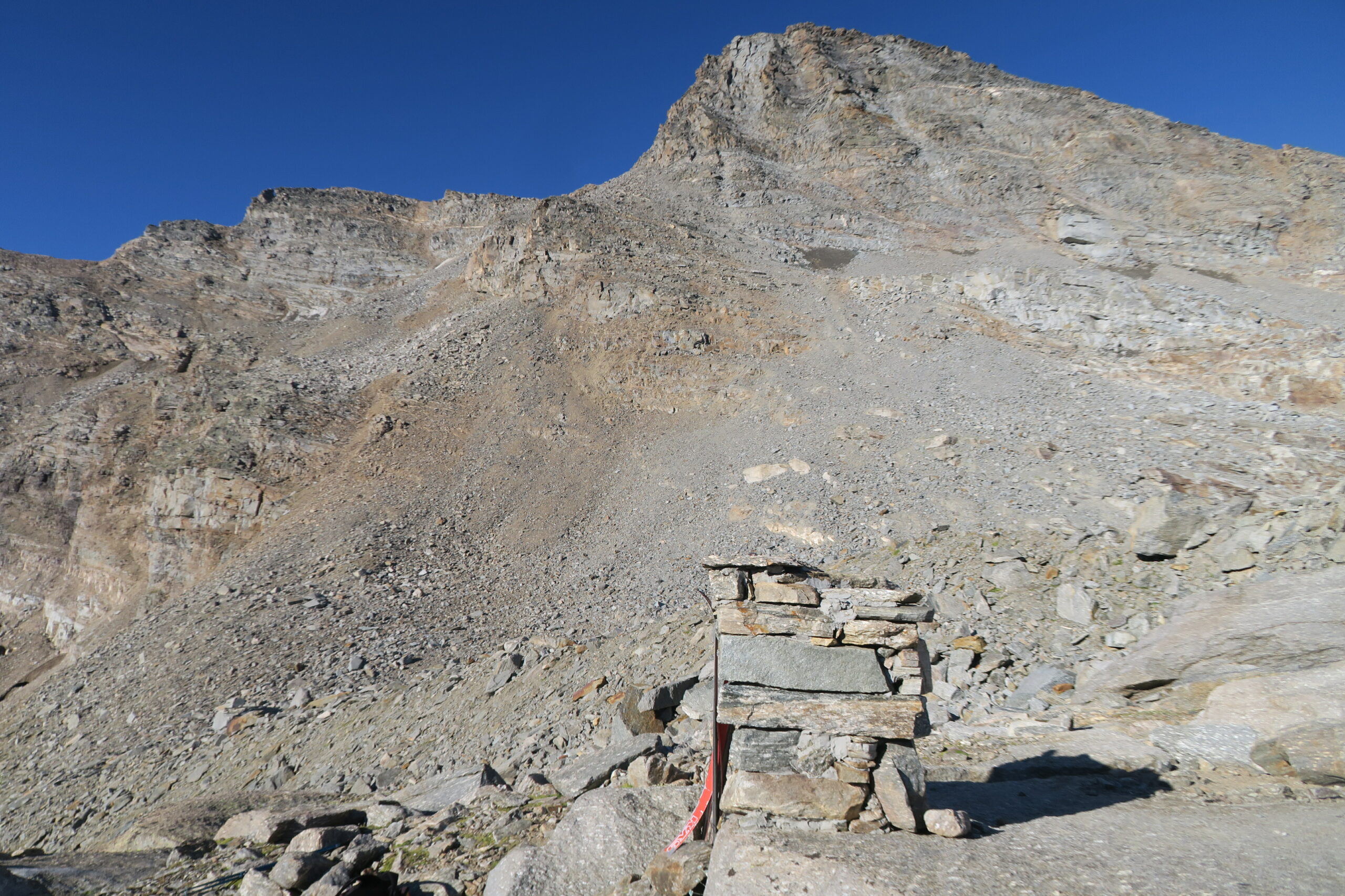
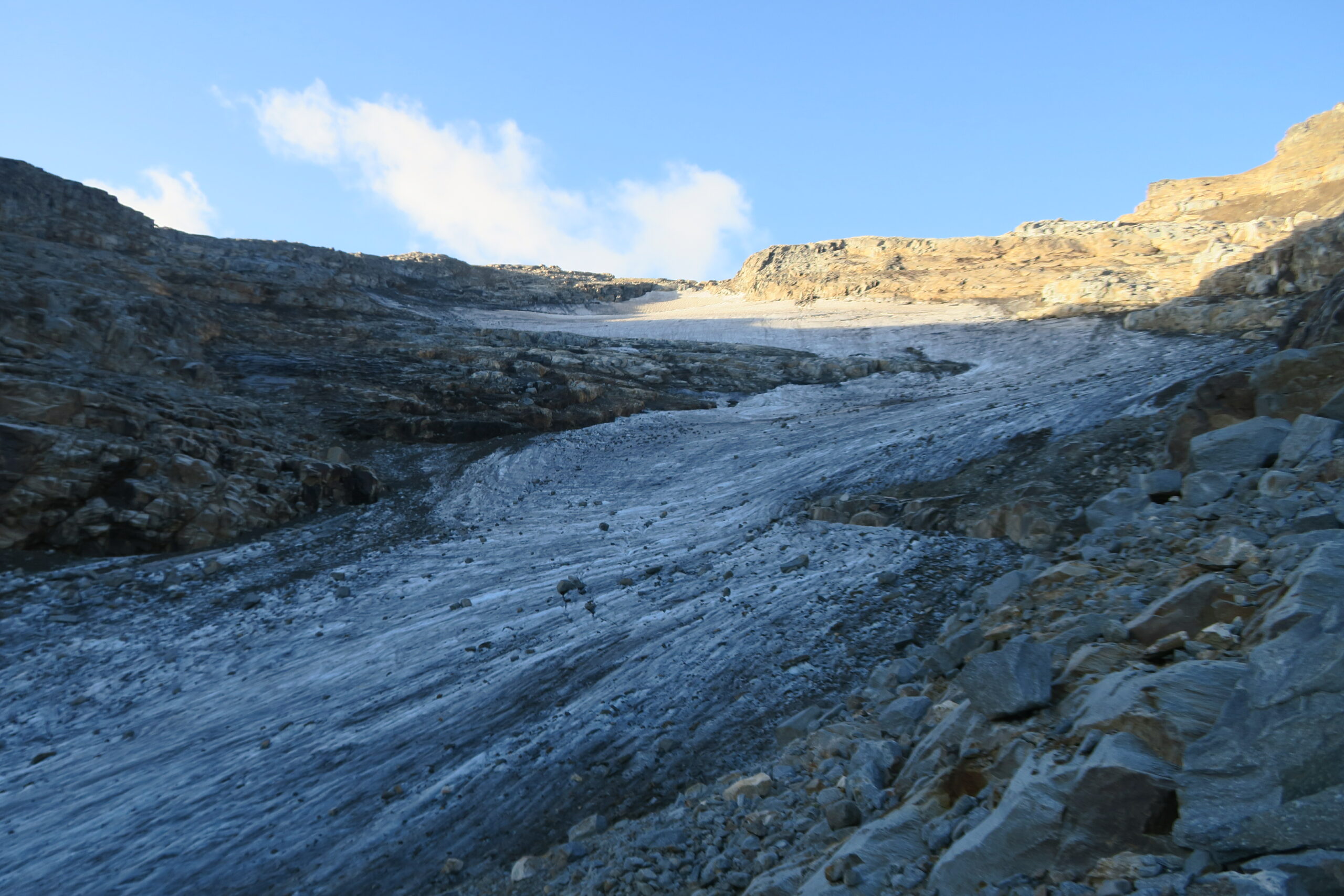
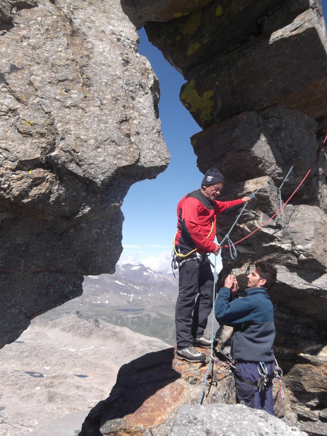
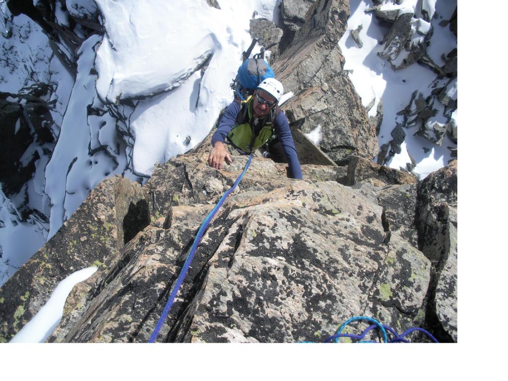
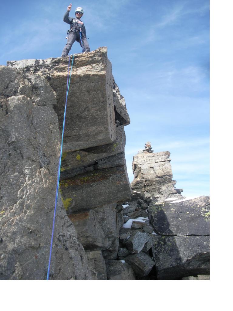
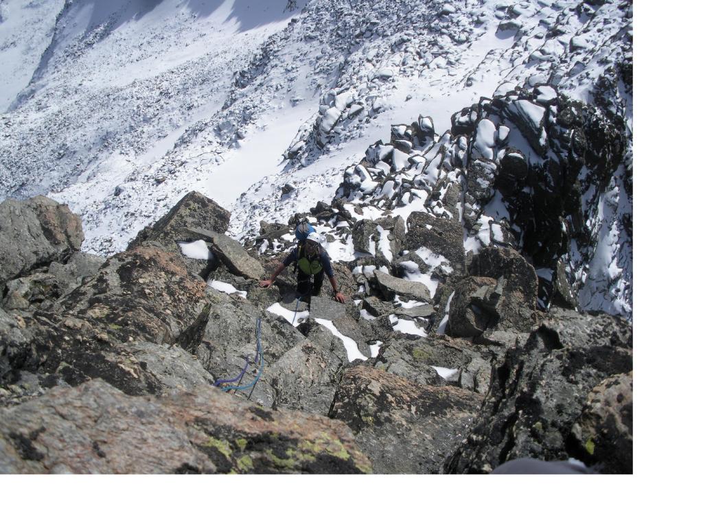
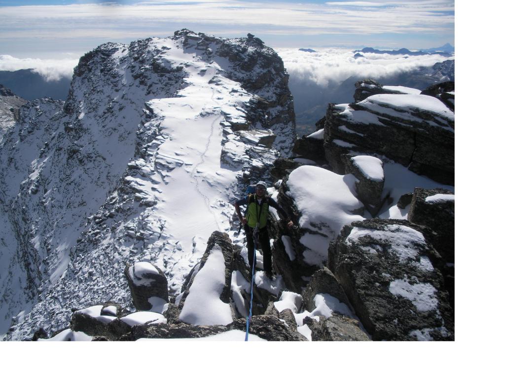
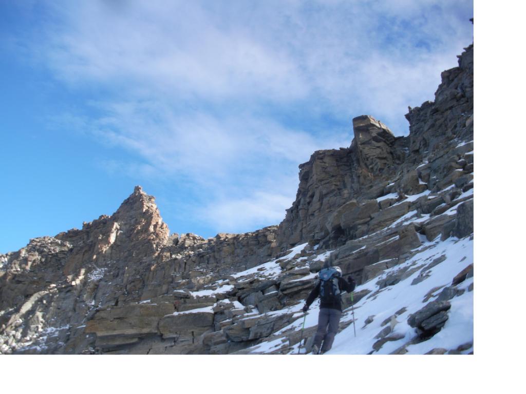
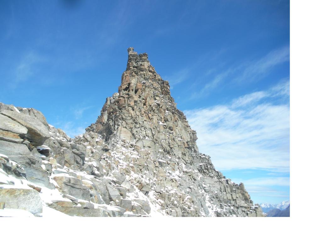
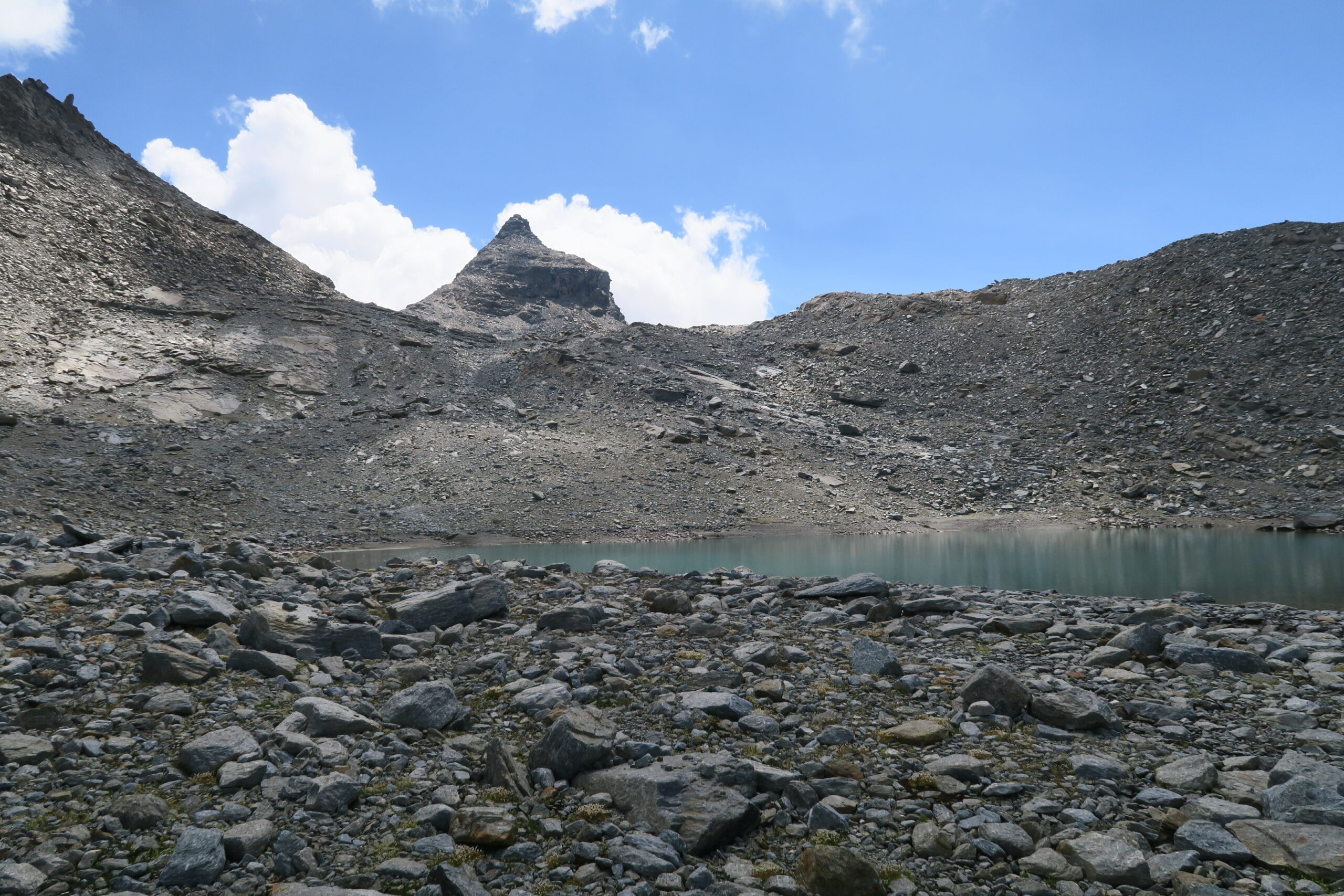
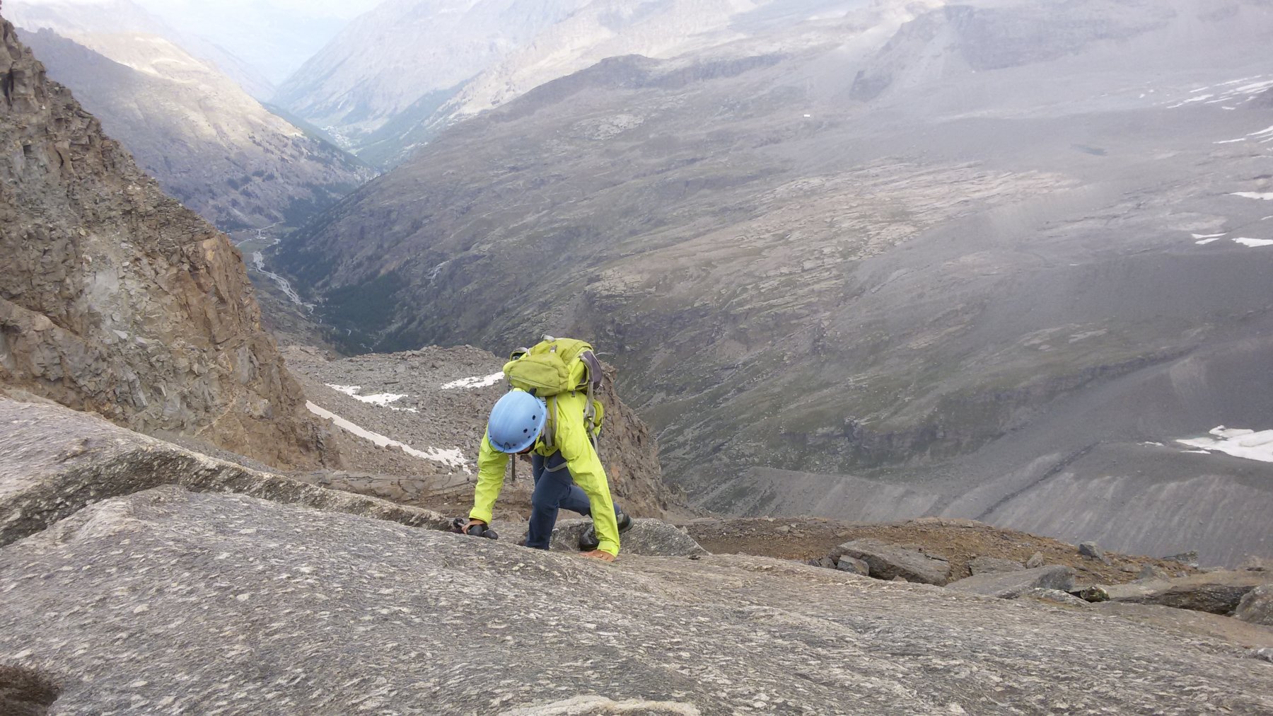
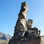
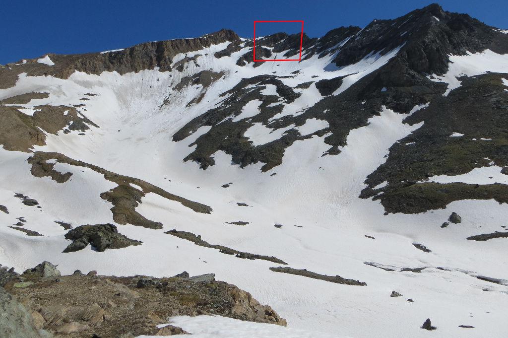
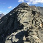
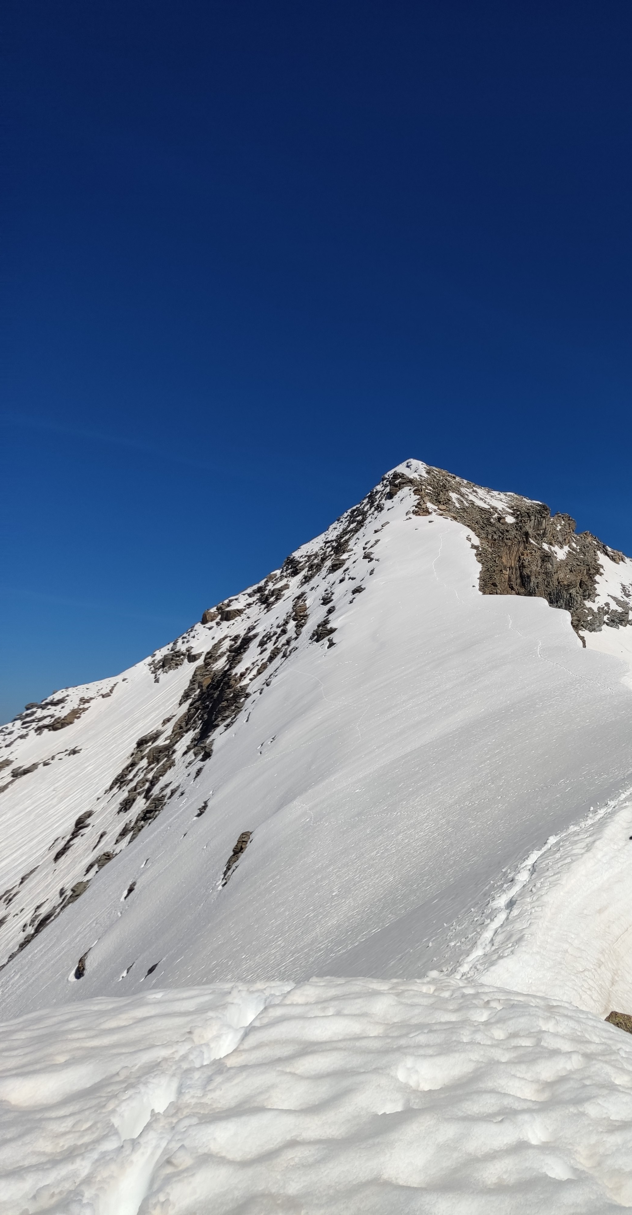
Dal parcheggio 2.5 km a monte del Lago Agnel per strada al Colle del Nivolet prendere il sentiero n.550 (strada Reale di caccia)nei pressi di un laghetto. Con lunga mezzacosta e svariati saliscendi si raggiunge l’Alpe Comba (2549m). Piegare a sx per pervenire all’Lago Gias del Beu, rimontando la bastionata che chiude la conca sulla dx salendo.Proseguire verso est per ghiaioni via via sempre piu’ ripidi puntando a un canalino sulla sx della vetta della Mare Percia con l’anticima che si tralascia sulla dx salendo. Superare detto canalino (PD-)con due brevissime impennate sul fondo (delicate se con neve). Piegare a dx e e giungere facilmente all’ometto di vetta (ca.4 ore dal parcheggio).Scendere per facili gradoni rocciosi al colletto (3331m) tra la Mare Percia e la Punta Foura’ che si sale per la sua breve ma no facile cresta sud est sul filo con passi di III e uno finale di IV con chiodo che permette di accedere al punto piu’ elevato della montagna al sommo dell’arco naturale. Punto questo con forte esposizione (1 ora 30 dalla Percia). Proseguire la traversata in direzione della croce posta all’estremita nord occidentale della cresta sommitale, per raggiungere la quale ci sono ancora alcune difficolta’ da superare. In particolare un torrioncino che va scavalcato sul filo con un passo di III e due successivi brevi saltini il primo dei quali scendibile con una breve doppia di pochi mt. Proseguire la traversata con discesa dalla normale al Colle di P.Foura’, a riprendere il cammino dell’andata al parcheggio da monte del sentiero per rocce montonate, costeggiando numerosi specchi d’acqua e seguendo una serie di ometti alla base della lunga costa Violetta.(ore 2-2.30,tot.dalle 7 alle 8 ore per l’intera traversata incluso lavvicinamento piu’ il rientro ad anello).
- Cartografia:
- IGC 1:25.000 N.102
- Bibliografia:
- Guida Monti d'Italia di G.Buscaini Gran Paradiso
Nelle vicinanze Mappa
Itinerari
13/08/2025 TO, Ceresole Reale D+ 931 m PD Tutte
Fourà (Punta) dal Lago Losere
 50m
50m
08/10/2023 TO, Ceresole Reale D+ 1100 m D Sud
Grand Etret (Testa del) sperone sud – Via Bricco Gandolfo
 50m
50m
26/07/2025 TO, Ceresole Reale D+ 250 m AD Varie
Nivolet (Rocce del) traversata di cresta Sud – Nord
 1.5Km
1.5Km
21/06/2014 TO, Ceresole Reale D+ 926 m PD- Varie
Taou Blanc (Monte) versante SO cresta SE
 1.5Km
1.5Km
12/09/2021 TO, Ceresole Reale D+ 600 m F Sud-Ovest
Rosset (Punta) dai Piani del Nivolet per il Col Rosset
 1.5Km
1.5Km
28/07/2024 TO, Ceresole Reale D+ 1100 m F Nord-Est
Carro (Cima del) Via Normale dal Lago Serrù
 1.9Km
1.9Km
26/07/2020 TO, Ceresole Reale D+ 1100 m F Nord-Est
Gros Caval (Pointe du) da Lago del Serrù
 1.9Km
1.9Km
09/10/2023 TO, Ceresole Reale D+ 1350 m F+ Nord-Ovest
Uja (Punta dell’) dal Lago del Serrù per il Colle del Carro
 1.9Km
1.9Km
21/08/2021 TO, Ceresole Reale D+ 900 m F+ Nord
Vacca (Cima della) Versante Nord
 1.9Km
1.9Km
09/06/2018 TO, Ceresole Reale D+ 1050 m AD Nord
Oin (Cima d’) Parete Nord
 1.9Km
1.9Km
Servizi
1.1Km
4.8Km
Guido Muzio Rifugio
Ceresole Reale
5Km
Da emilia Ristorante
Ceresole Reale
7.7Km
Villa Campeggio
Ceresole Reale
7.8Km
Massimo Mila Rifugio
Ceresole Reale
7.8Km
Lanterna del duca Ristorante
Ceresole Reale
7.9Km
Mila Rifugio
Ceresole Reale
8.3Km
Gran Paradiso Bar
Valsavarenche
8.6Km
Benevolo Rifugio
Rhêmes-Notre-Dame
10Km