1.4Km
1.4Km

Note
 2.2Km
2.3Km
2.3Km
2.4Km
2.4Km
2.4Km
2.4Km
2.4Km
2.4Km
2.4Km
2.2Km
2.3Km
2.3Km
2.4Km
2.4Km
2.4Km
2.4Km
2.4Km
2.4Km
2.4Km
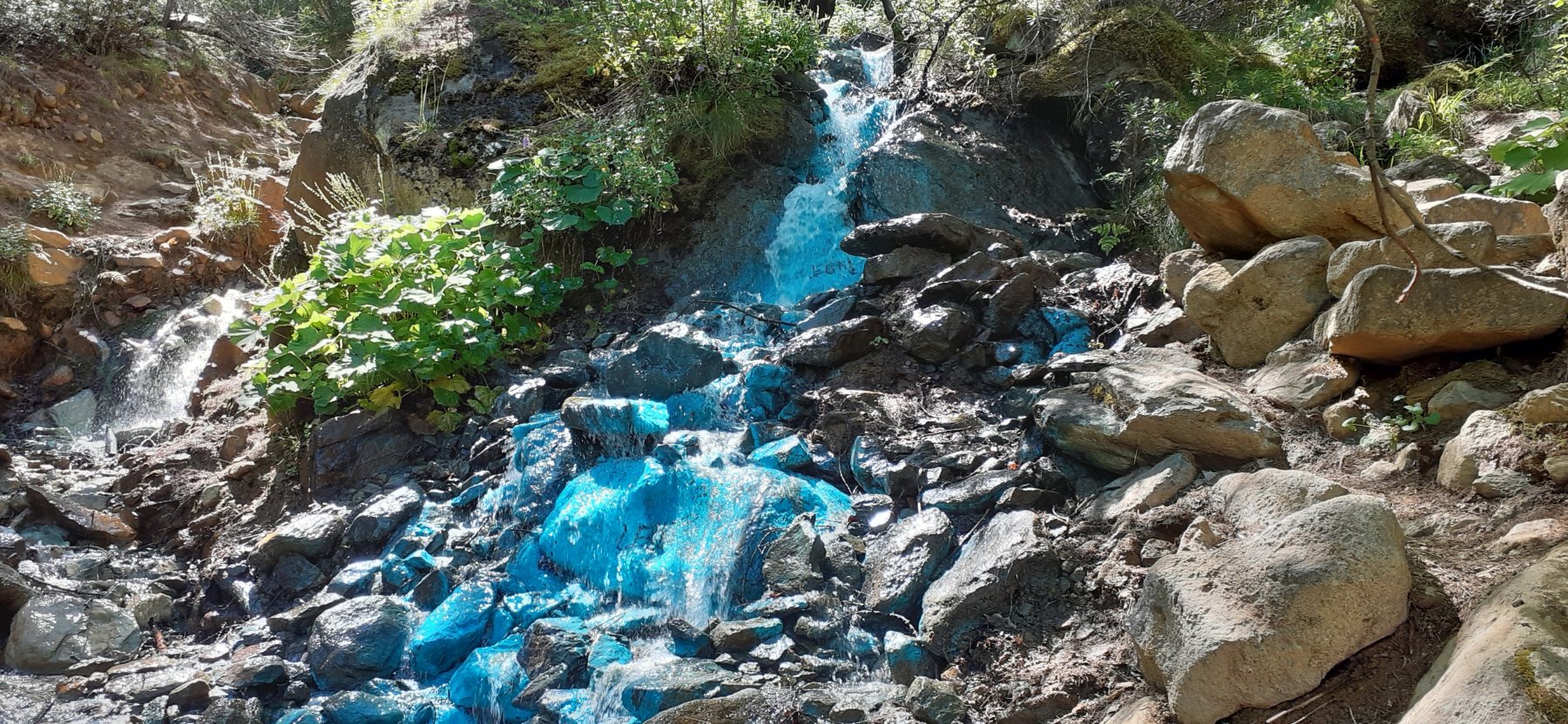
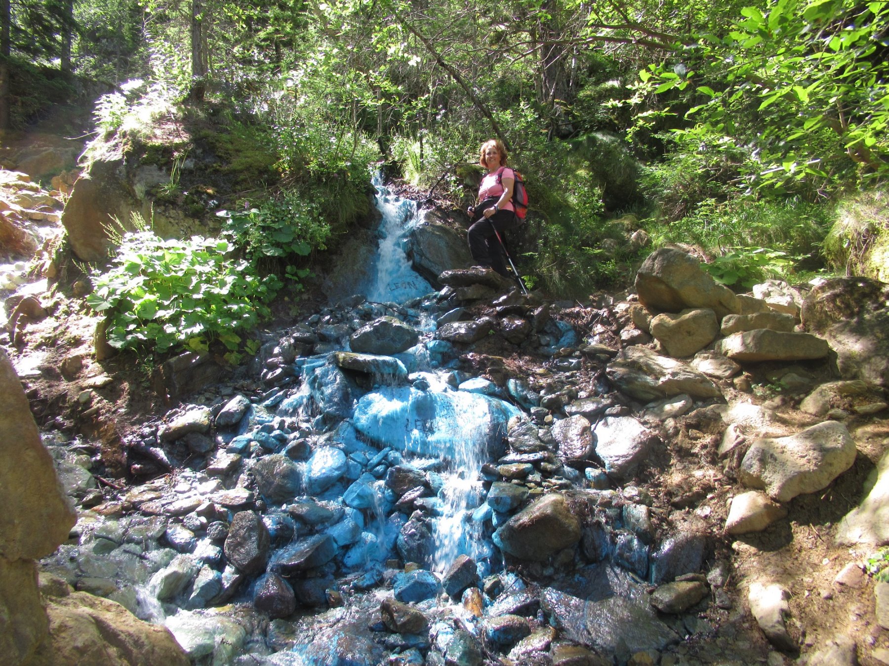
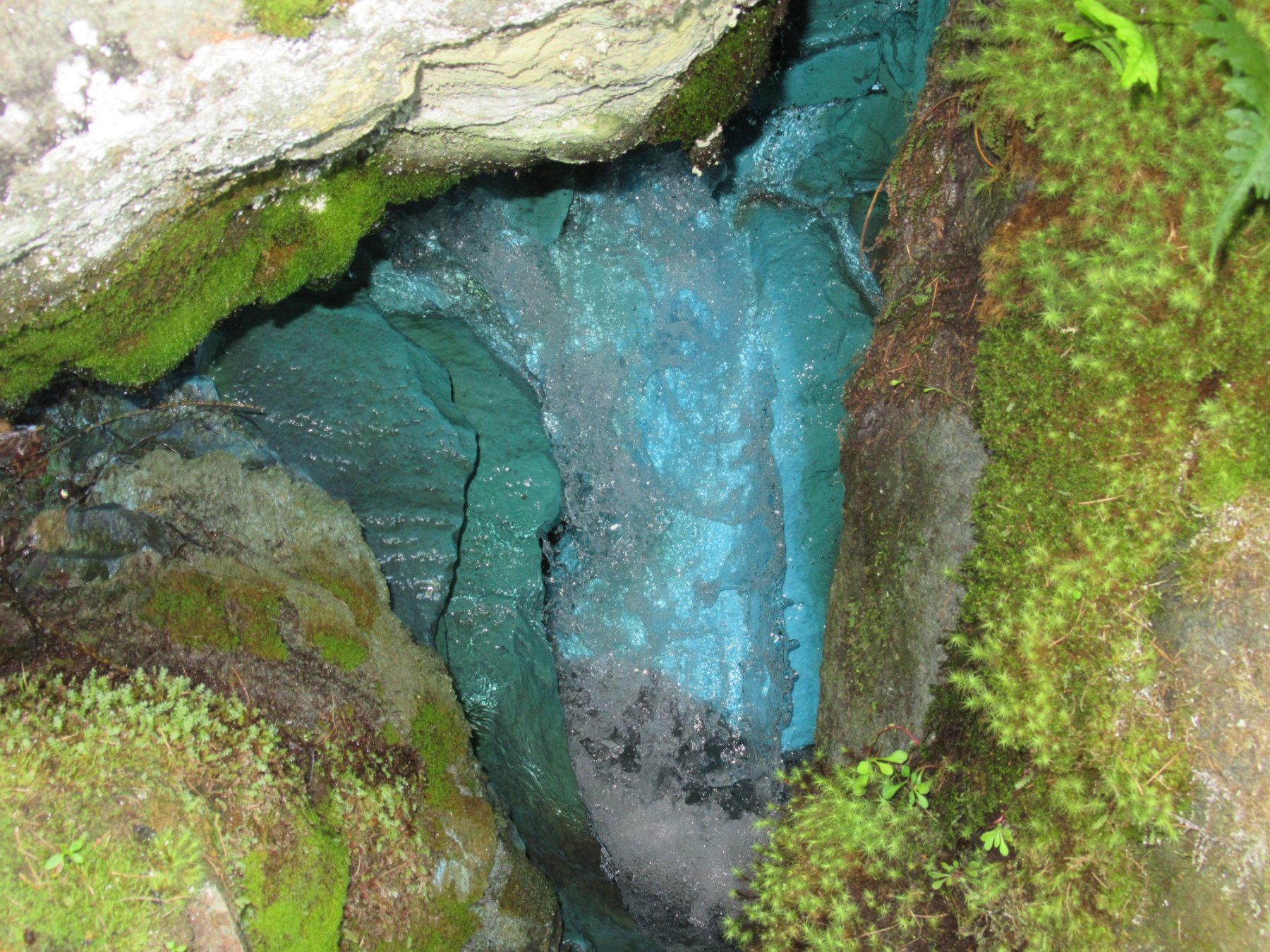
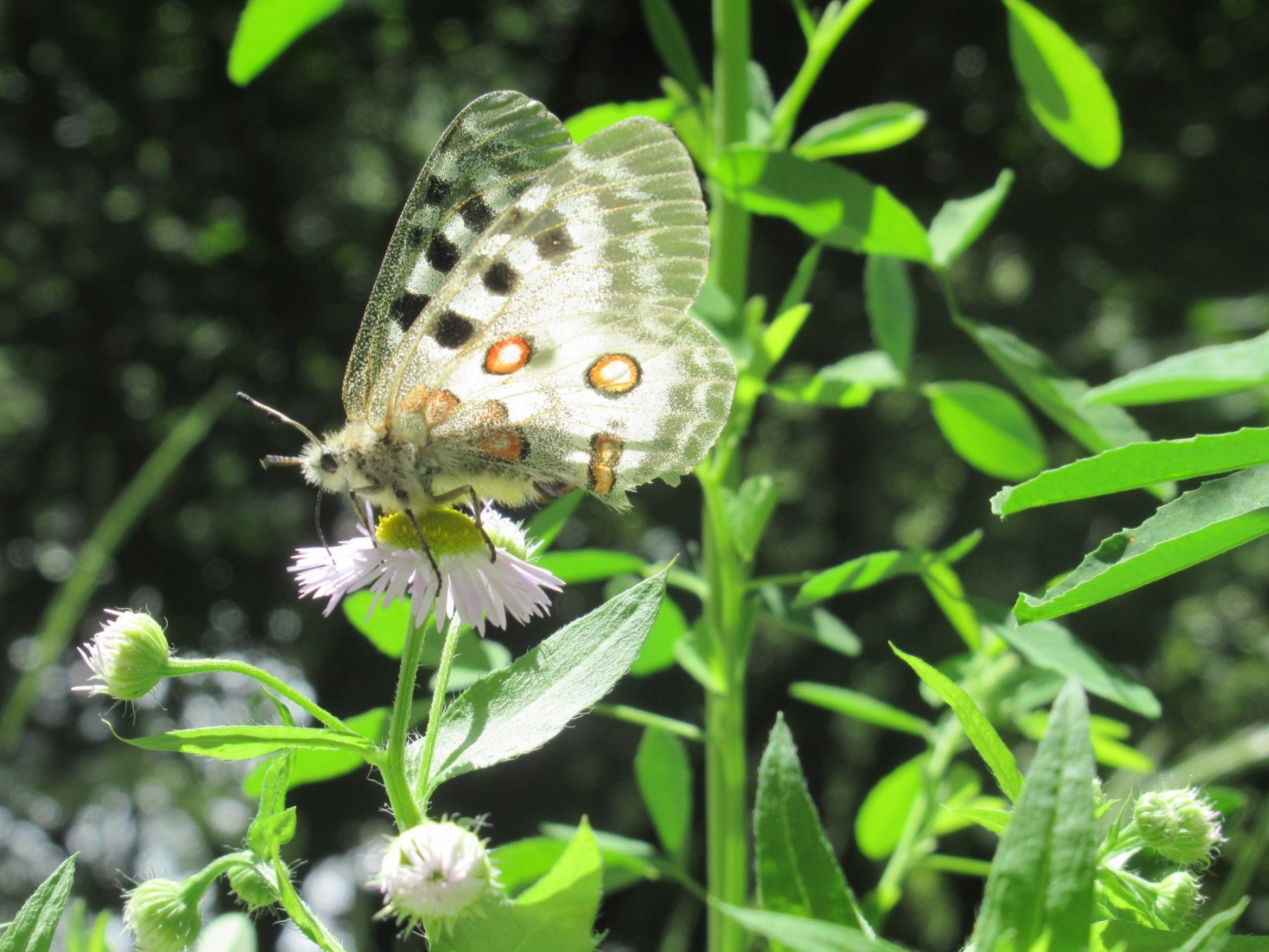
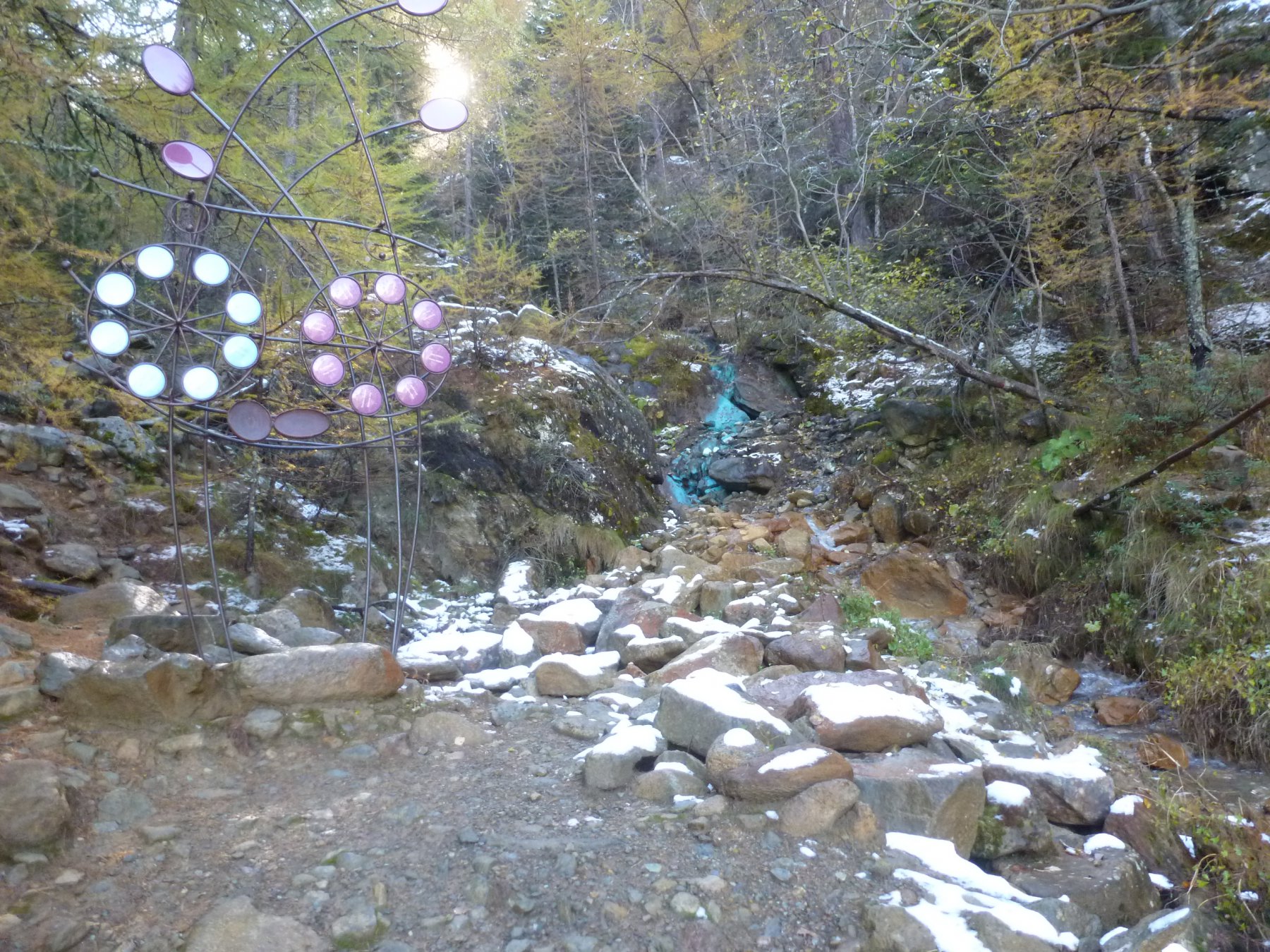
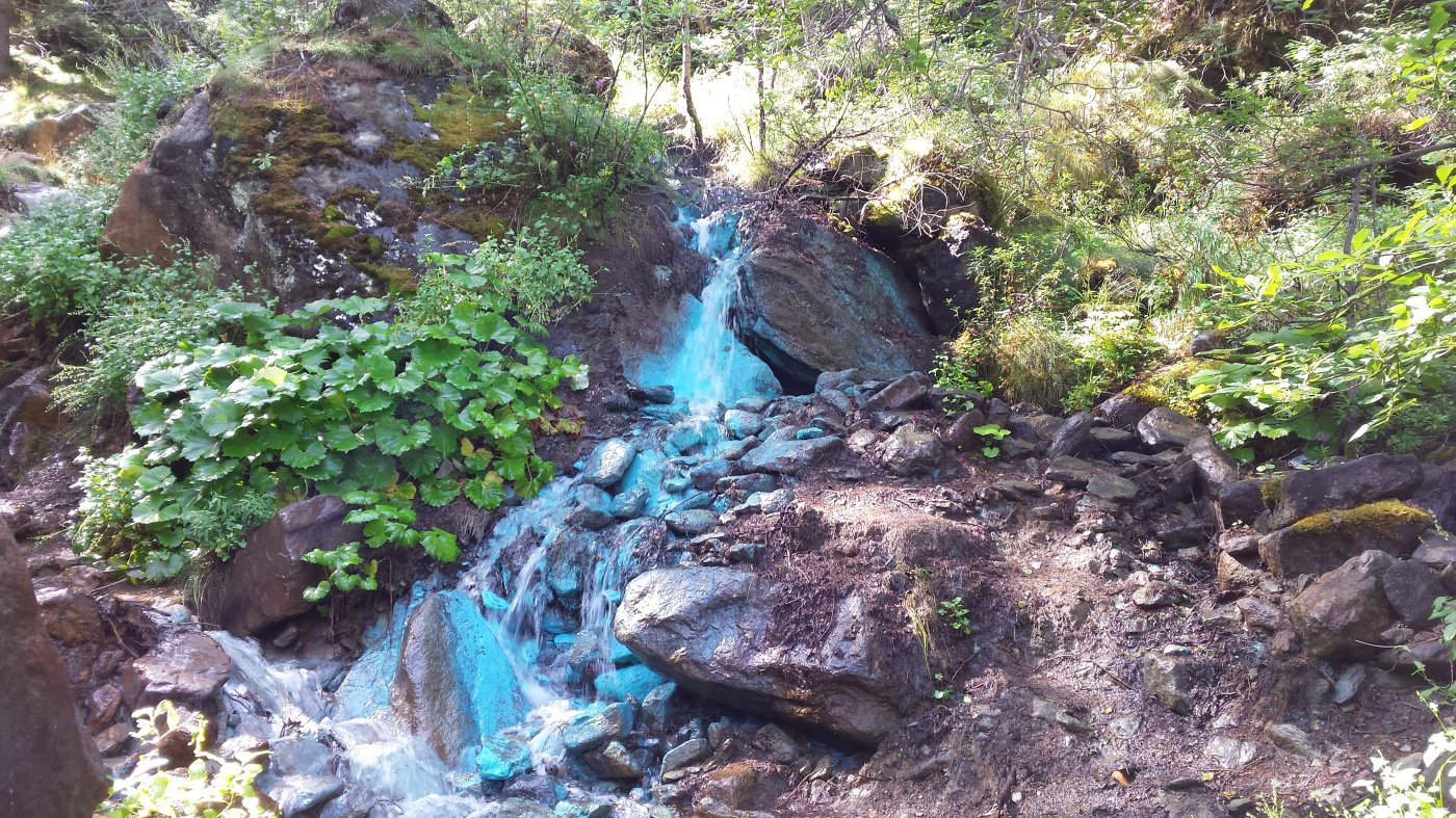
Angolino stupendo della Vallėe con tantissime piante e farfalle che accompagnano l'escursionista fino alla sorgente del ruscello con i suoi caratteristici sassi color turchese.
Avvicinamento
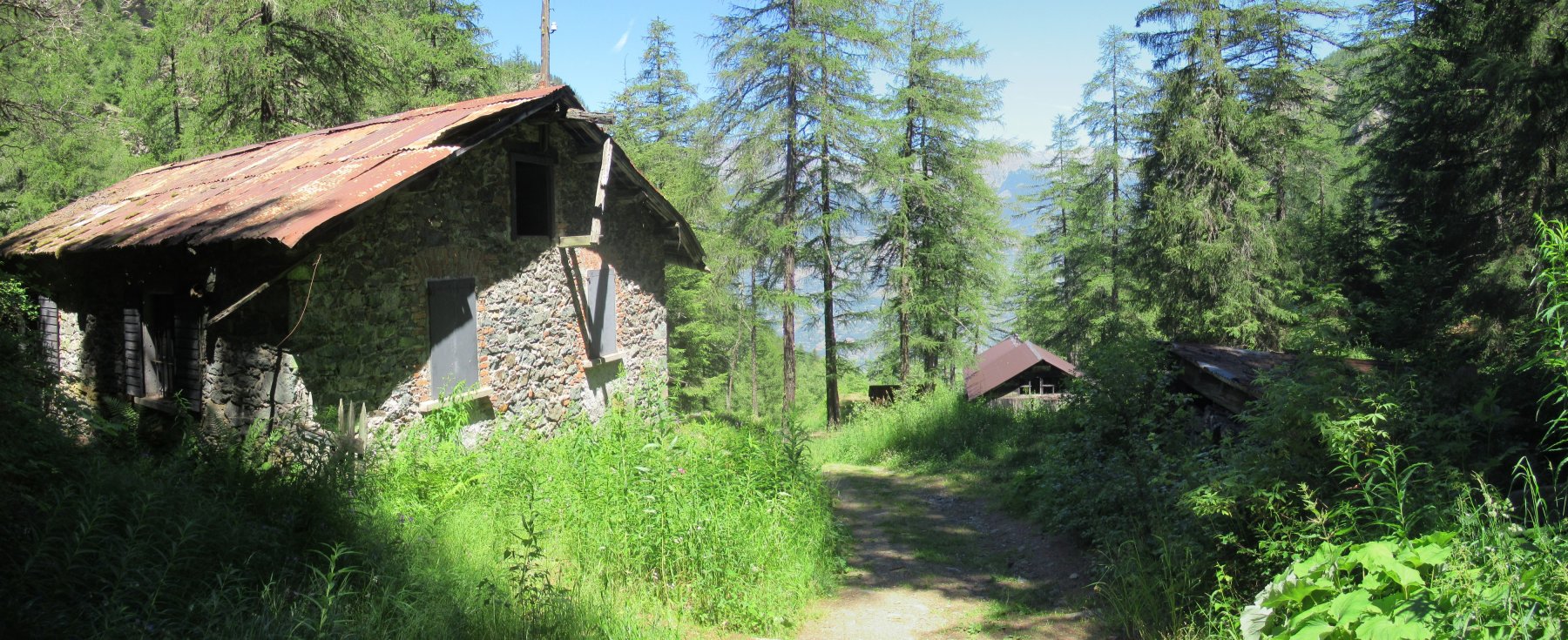
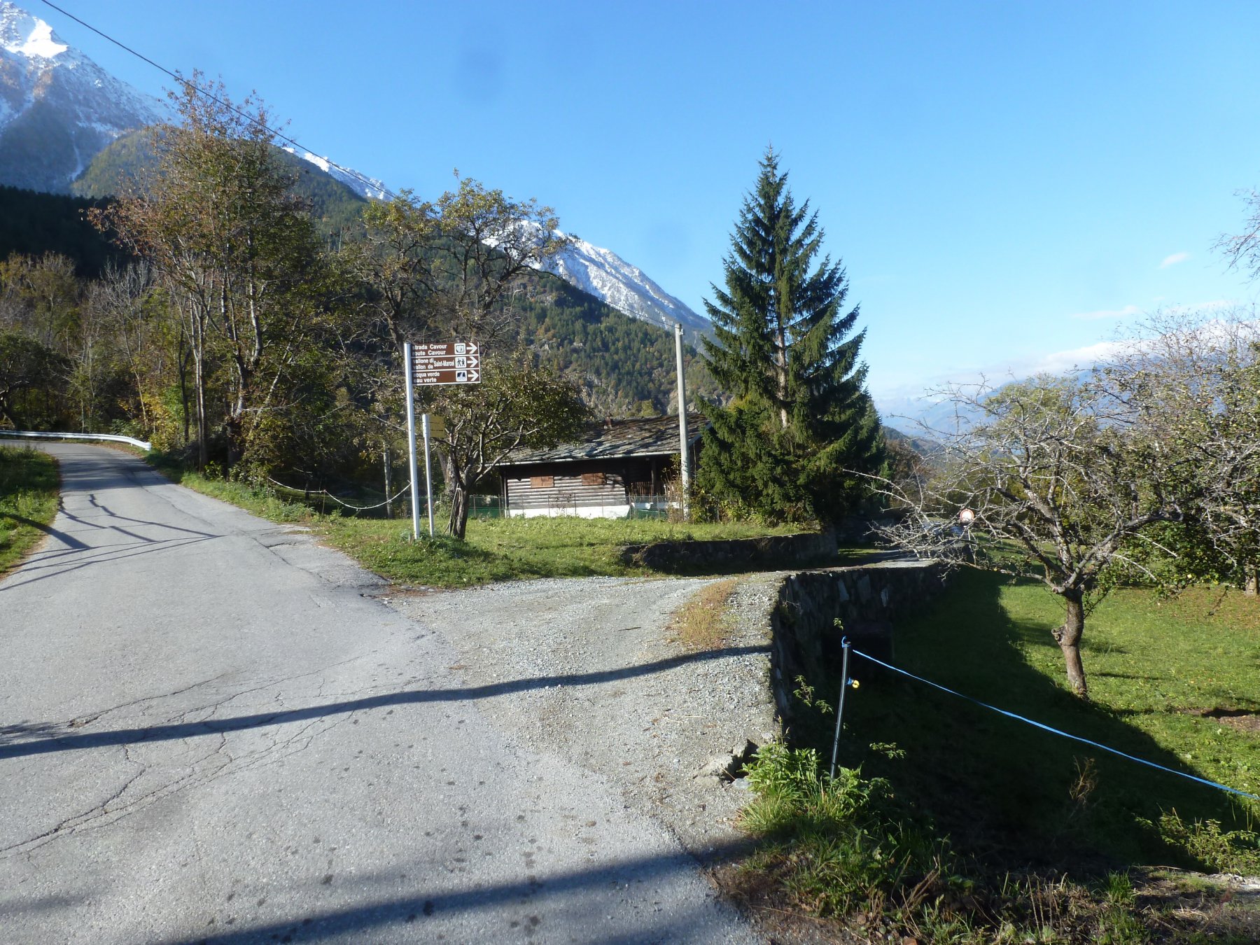
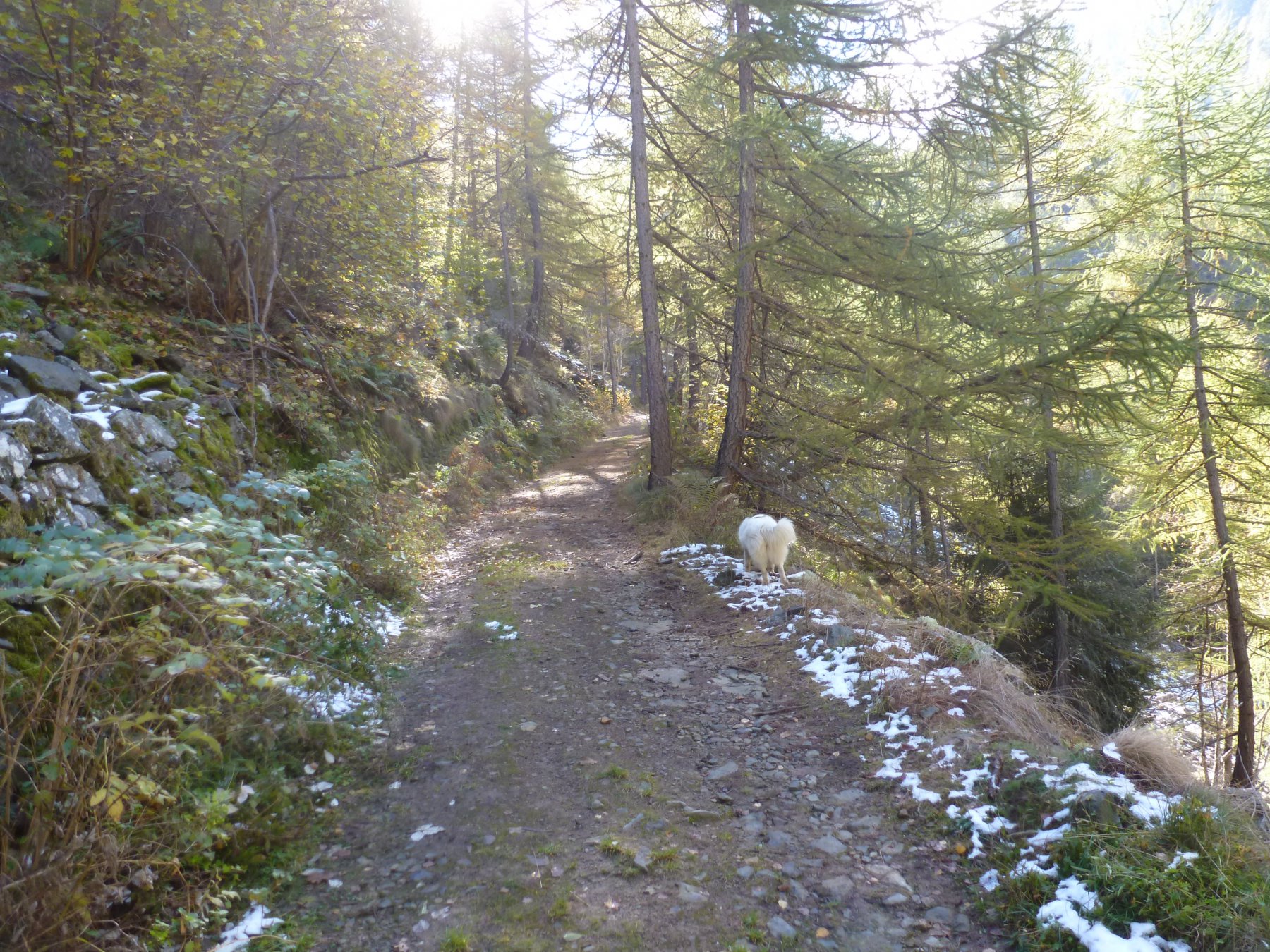
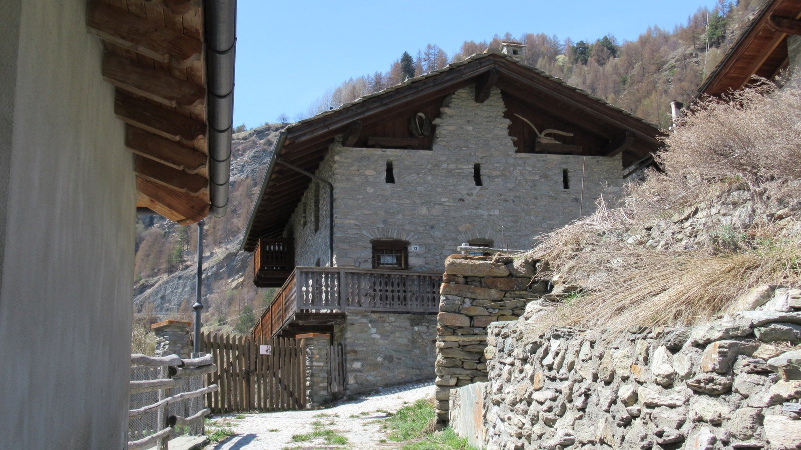
Da Saint Marcel lasciare il fondovalle e salire lungo la strada che porta alla frazione Druges. Arrivati al grosso piazzale del santuario di Plout parcheggiare l'auto. Si segue a piedi la strada asfaltata prima di prendere a dx una poderale in discesa (i cartelli ben segnalano l'accesso).
Descrizione
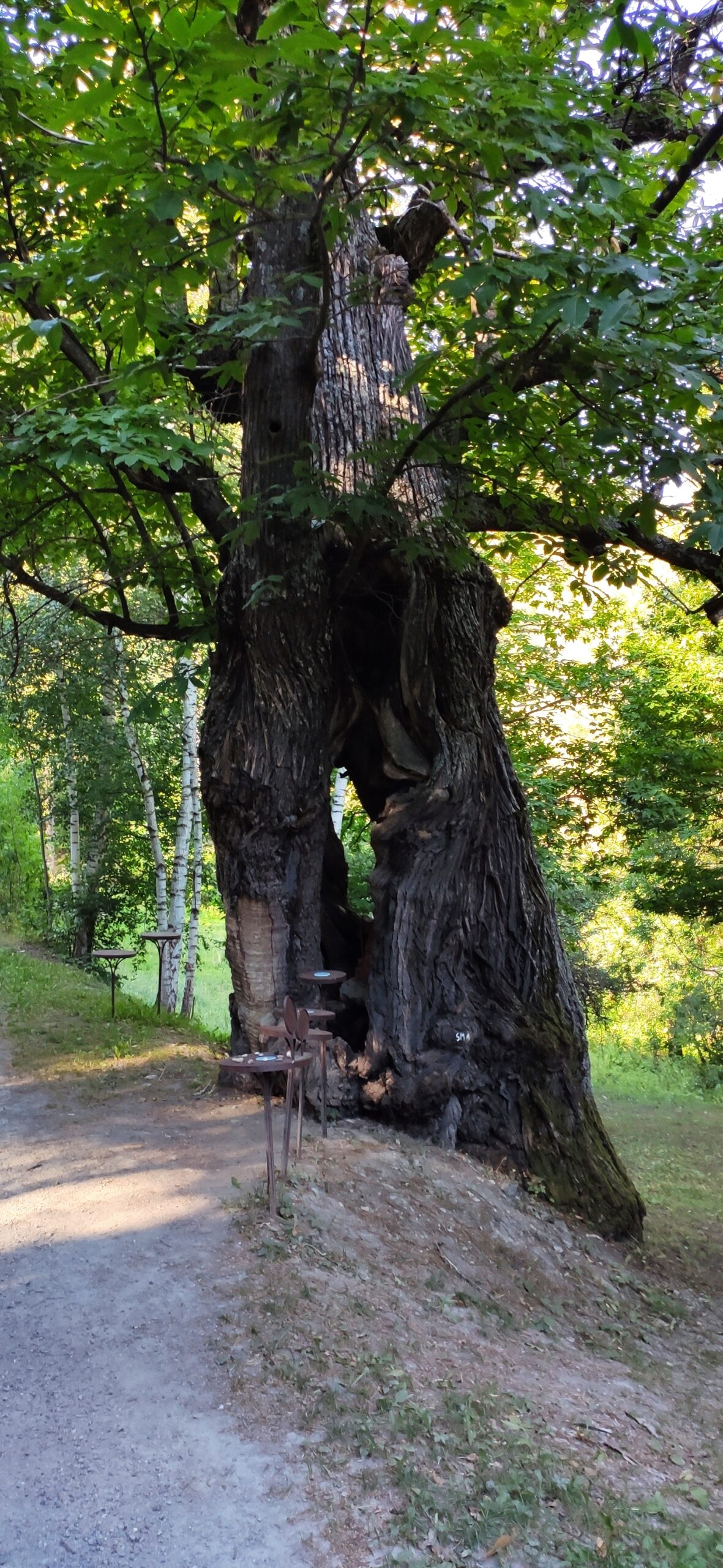
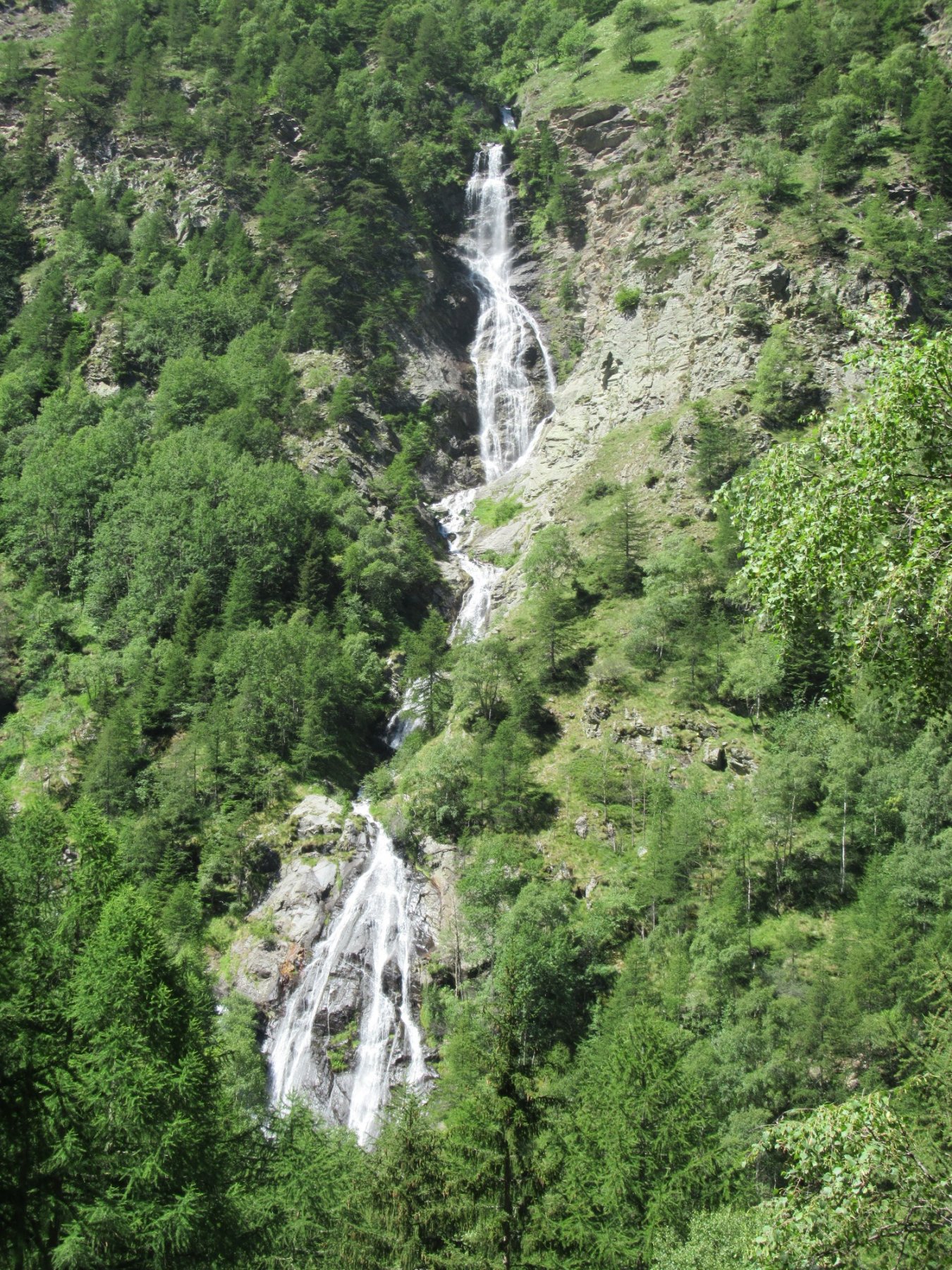
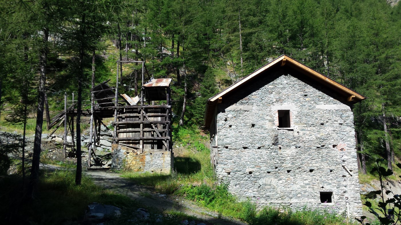
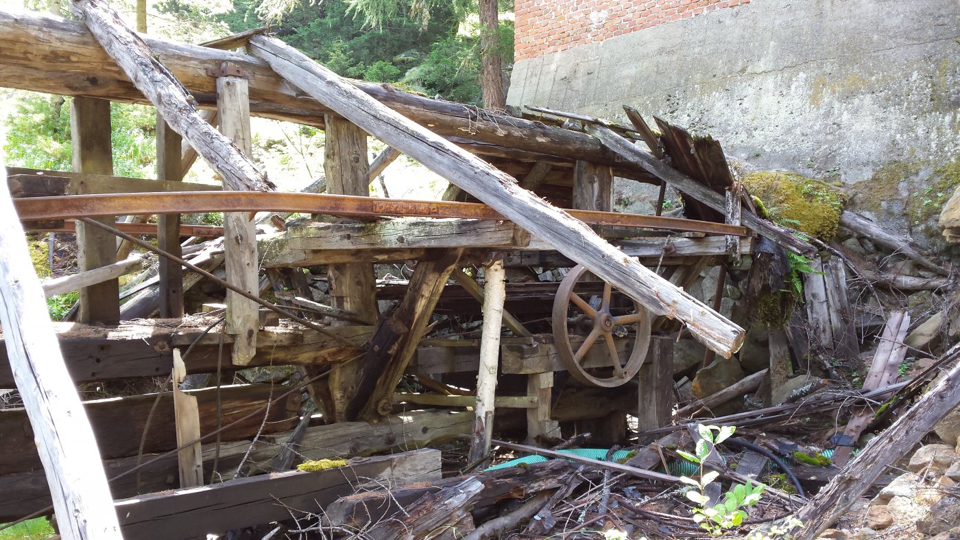
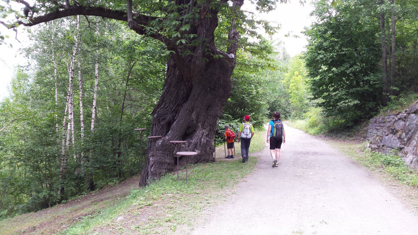
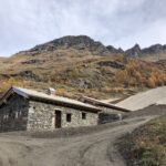
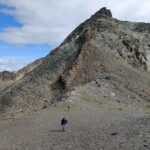
Il sentiero (trattorabile) passa subito vicino ad un grosso castagno al cui interno è alloggiata una scultura in legno. Piante di lamponi, felci, “appiccica-appiccica”, fragoline, “scoppiettini”, pisello e sedano selvatico sono solo alcune delle numerose piante che decorano il percorso. Un paio di ponticelli a quota 1200 mt circa attraversano il torrente prima di giungere nei pressi del primo insediamento minerario. Qui è ancora ben visibile la torre della teleferica. Si continua a salire estasiati dai giochi di schiuma disegnati dalla cascata che precipita in alto alla propria dx. Un paio di tornanti permettono di prendere quota lasciando in basso il livello del torrente. Qui sono ancora visibili i resti di antiche frane. In breve si giunge al ruscello con le sue rocce turchesi. Qui è d’obbligo risalire brevemente per ammirare il grottino/sorgente. Ritornati sul sentiero, in 5 minuti si raggiunge un altro insediamento minerario da cui partivano i cavi della teleferica (1 h e 45min dall’auto). Aggiungendo un’altra ora di cammino e 400 mt di dislivello, si può arrivare fino alla miniera di Servente, da cui, scendendo sul sentiero 3c che passa da Croix de Champ, si può fare un bel giro ad anello.
Nelle vicinanze Mappa
Itinerari
30/05/2026 AO, Saint-Marcel D+ 340 m E Ovest
Saint Julien (Monte) da Champremier
 2.2Km
2.2Km
05/03/2022 AO, Nus D+ 525 m E Varie
Cammino Balteo tappa n.10 da Nus a Roisan
 2.3Km
2.3Km
25/04/2018 AO, Nus D+ 1100 m E Sud-Ovest
Issologne (Frazione) da Nus
 2.3Km
2.3Km
15/01/2024 AO, Saint-Marcel D+ 1800 m EE Varie
Leppe (Punta di) da Les Druges
 2.4Km
2.4Km
07/07/2023 AO, Saint-Marcel D+ 1400 m EE/F Varie
Grand Crete da Les Druges
 2.4Km
2.4Km
09/08/2025 AO, Saint-Marcel D+ 1950 m EE Varie
Leppe (Colle di) da les Druges per i Valloni di Saint Marcel e di Laures
 2.4Km
2.4Km
06/09/2025 AO, Saint-Marcel D+ 1000 m EE Tutte
Corquet (Monte) da Les Druges, anello per il Vallone di Saint Marcel
 2.4Km
2.4Km
11/07/2021 AO, Saint-Marcel D+ 2100 m EE Varie
Laures, Saint Marcel (Colli) da les Druges, giro del Monte Emilius per il Bivacco Menabreaz
 2.4Km
2.4Km
08/08/2024 AO, Saint-Marcel D+ 1500 m E Nord
Petit Avert da Les Druges
 2.4Km
2.4Km
30/10/2022 AO, Saint-Marcel D+ 1350 m E Est
Saint Marcel (Colle di) da Les Druges
 2.4Km
2.4Km