 1.9Km
1.9Km
Note
 50m
100m
150m
250m
1.1Km
1.3Km
1.3Km
1.3Km
50m
100m
150m
250m
1.1Km
1.3Km
1.3Km
1.3Km
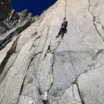
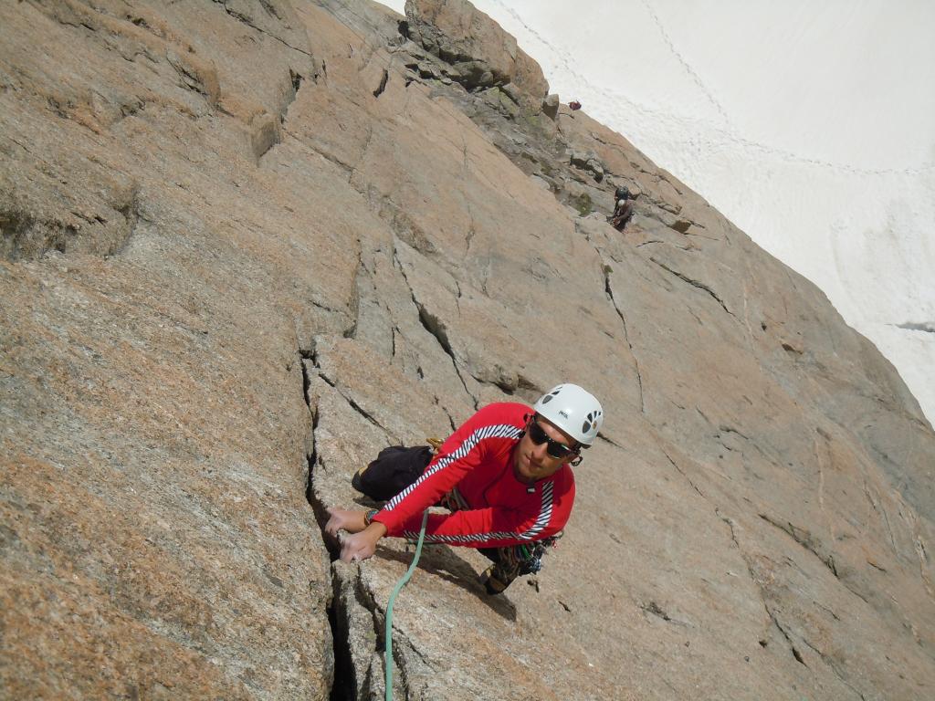
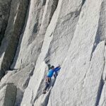
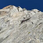
La via originale presenta un tiro in fessura di 6a proteggibile con uno o due friend grossi (4)- ho voluto segnalare questa piccola variante in quanto così si riesce a fare una scalata molto bella, un po' meno impegnativa forse della via originale, ma comunque di grande soddisfazione (un po' piu' difficile della vicina Contamine, spesso affollata) -
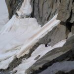
Avvicinamento
.
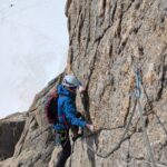
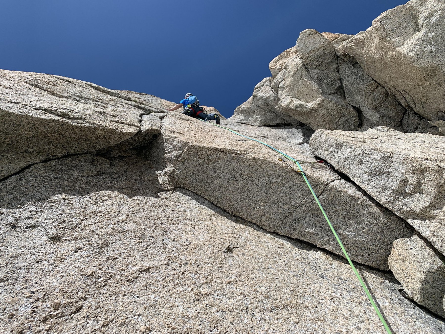
Descrizione
In alto (al al posto del tiro di 6a (indispensabile friend n°4) abbiamo deviato a dx su “A l’orée du bois” (7/8 mt, un passo di 6a+/6b – 2 spit) per poi terminare questo tiro molto bello con l’ultimo tiro difficile della Contamine (circa 6a)- se si vuole continuare su tutto il tiro di “orée du bois” indispensabili stopper piccoli – dalla terrazza poi abbiamo continuato sui tiri finali di “Macroscope” poi abbiamo deviato sulle calate(4c e 5a – no sosta intermedia, farla su friend) – Materiale per la via come fatta da noi, friend fino al 3 (meglio fino al 3,5) e 4/5 stopper piccoli – se invece di uscire su “Macroscope” si esce sulla Contamine ci sono fittoni resinati alle soste- Doppie attrezzate con catena (sono segnate abbastanza giuste sulla foto) –
- Cartografia:
- IGN
- Bibliografia:
- Piola e Bassanini
Nelle vicinanze Mappa
Itinerari
15/06/2026 Haute-Savoie, Chamonix-Mont-Blanc 6b, 6a obbl. Sud-Est
Lachenal (Pointe) – Via Contamine
 50m
50m
14/02/2008 Haute-Savoie, Chamonix-Mont-Blanc 7a+, 6b obbl. Sud
Lachenal (Pointe) – A l’Oree du Bois
 100m
100m
28/06/2024 Haute-Savoie, Chamonix-Mont-Blanc 6a, 6a obbl. Sud-Est
Lachenal (Pointe) – Harold e Maude
 150m
150m
31/07/2025 Haute-Savoie, Chamonix-Mont-Blanc 5c, 5a obbl. Est
Tacul (Pyramide du) – Le Ronfleur Paradoxale
 250m
250m
06/08/2007 Haute-Savoie, Chamonix-Mont-Blanc 6b, 6b obbl. Est
Tacul (Mont Blanc du), Pilier Tre Punte – Tobogan
900m
22/06/2026 Haute-Savoie, Chamonix-Mont-Blanc 5b, 5b obbl. Est
Tacul (Pyramide du), Cresta Est – Via Ottoz-Grivel-Croux
 1.1Km
1.1Km
12/07/2026 Haute-Savoie, Chamonix-Mont-Blanc 5c, 5c obbl. Sud-Est
Petit Capucin – Le Lifting du Roi
 1.3Km
1.3Km
05/07/2019 Haute-Savoie, Chamonix-Mont-Blanc 6a, 5c obbl. Sud-Est
Petit Capucin – Roy du Siam Dans qual sens?
 1.3Km
1.3Km
01/07/2025 Haute-Savoie, Chamonix-Mont-Blanc 6a+, 5c obbl. Sud-Est
Adolphe Rey (Pic) – Via Gervasutti
1.3Km
23/07/2021 Haute-Savoie, Chamonix-Mont-Blanc 5a, 4 obbl. Sud-Est
Petit Capucin – Via Normale o Boccalatte
 1.3Km
1.3Km