3.9Km
3.9Km


Note
Storico
 50m
50m
50m
50m
2.5Km
2.5Km
2.5Km
2.5Km
2.5Km
2.5Km
50m
50m
50m
50m
2.5Km
2.5Km
2.5Km
2.5Km
2.5Km
2.5Km
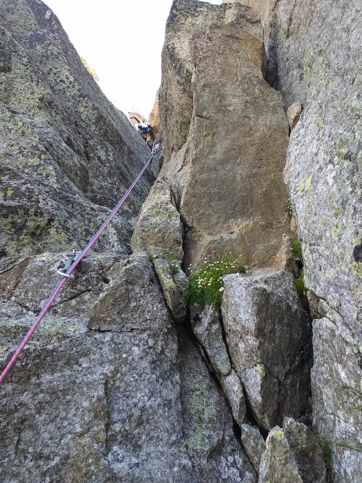
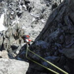
L'itinerario è interamente protetto a spit e le soste attrezzate con due spit, catena ed anello.
Qualche nut medio può essere utile e qualche fettuccia può rendere più elastico il percorso della corda, nei tiri a volte abbastanza lunghi (50 m). Necessarie due corde da 60 metri.
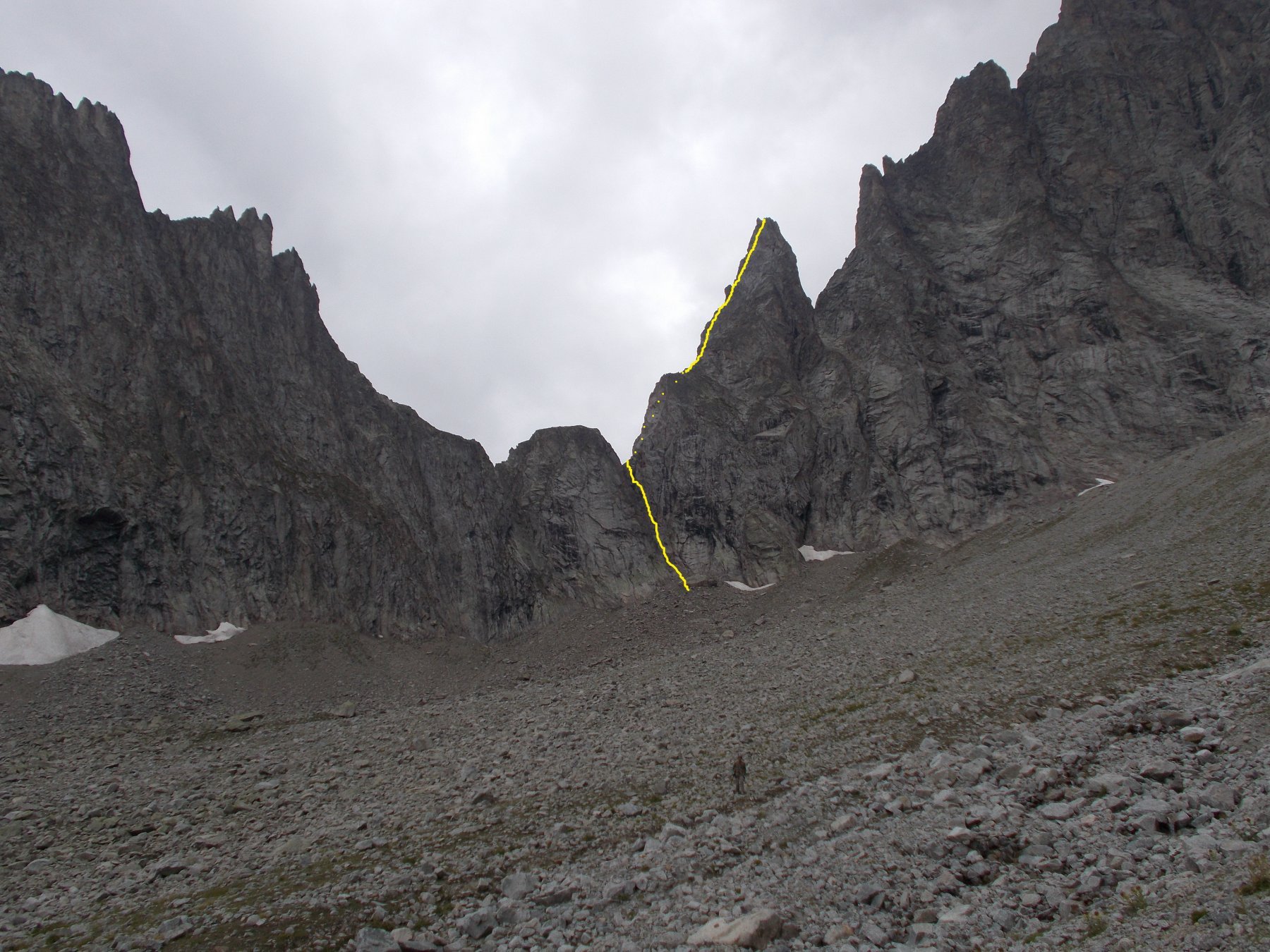
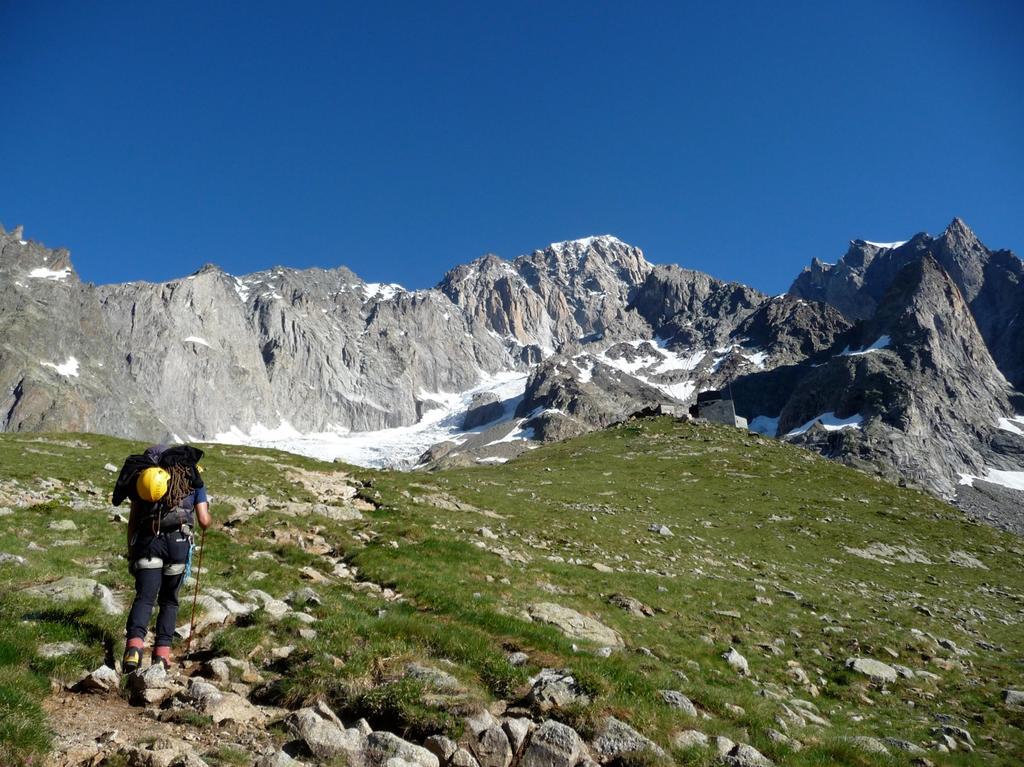
Avvicinamento
Qualche nut medio può essere utile e qualche fettuccia può rendere più elastico il percorso della corda, nei tiri a volte abbastanza lunghi (50 m). Necessarie due corde da 60 metri.
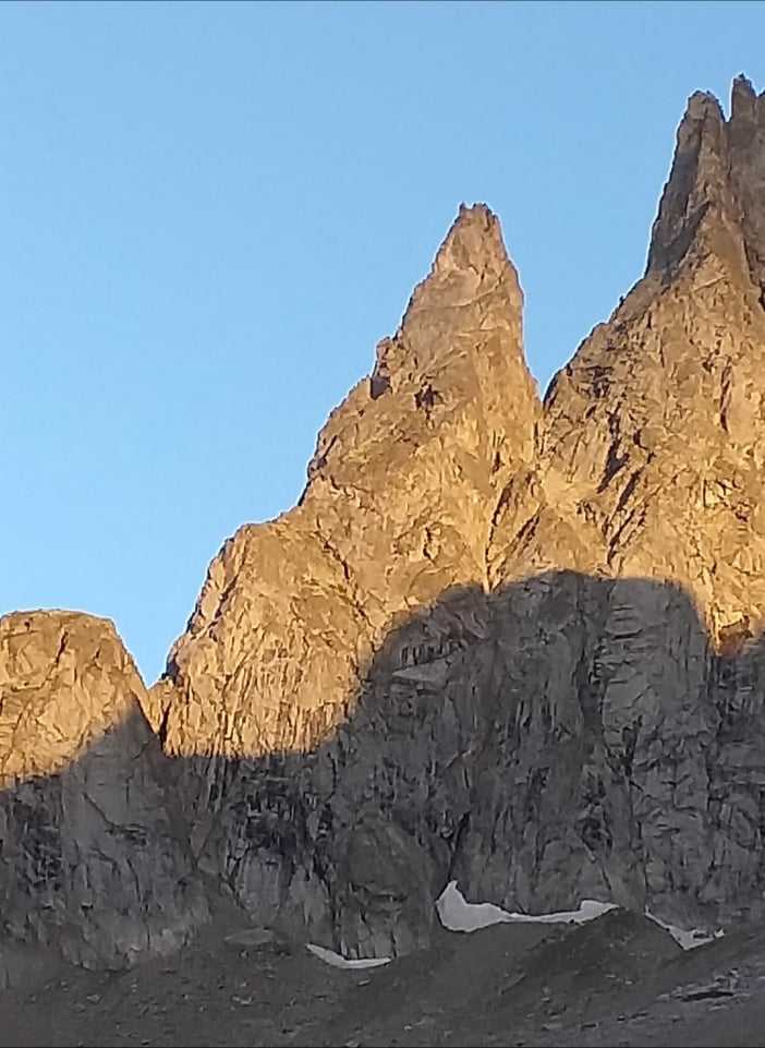
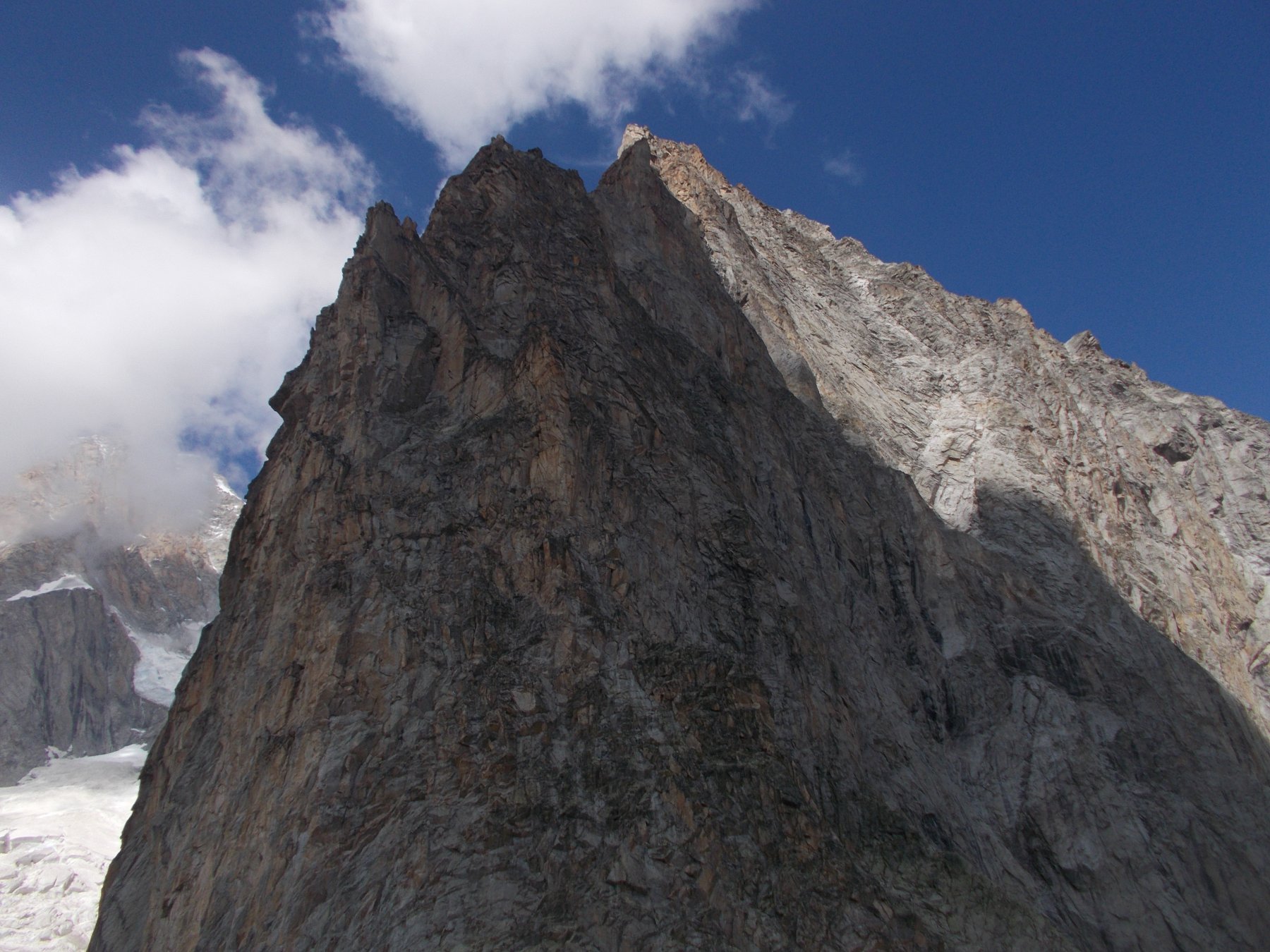
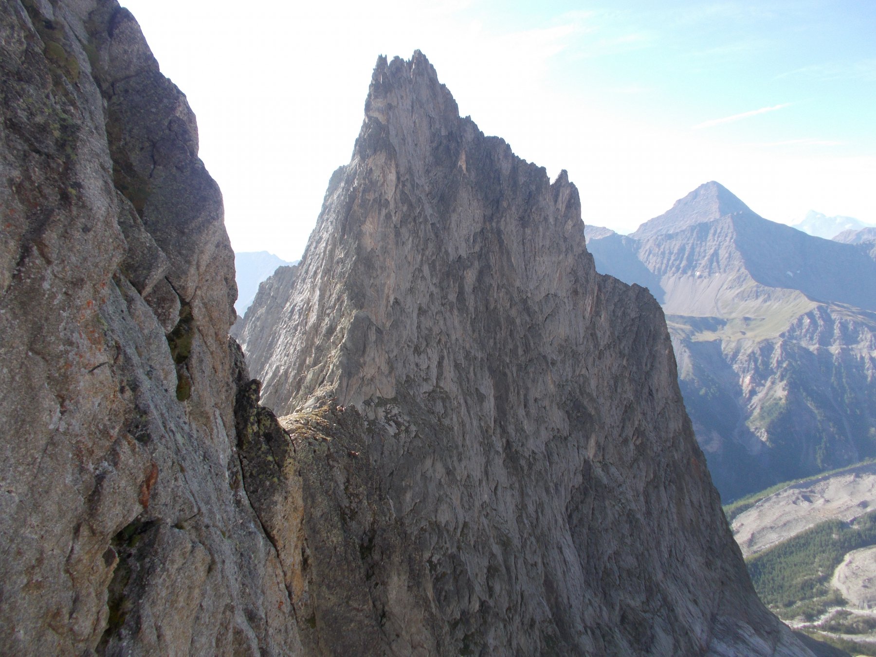
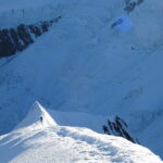
Il punto di partenza è l'intaglio Nord del Col des Chasseurs, proprio all'inizio della cresta. Secondo la Guida dei Monti d'Italia (Monte Bianco vol. 1), il Col des Chasseurs propriamente detto (intaglio Sud) è a quota 2741, mentre il suo intaglio Nord (detto anche Col des Chamois) è a 2750.
I due intagli sono separati da una prominenza rocciosa più alta di una cinquantina di metri.
L'intaglio Nord può essere raggiunto da due parti:
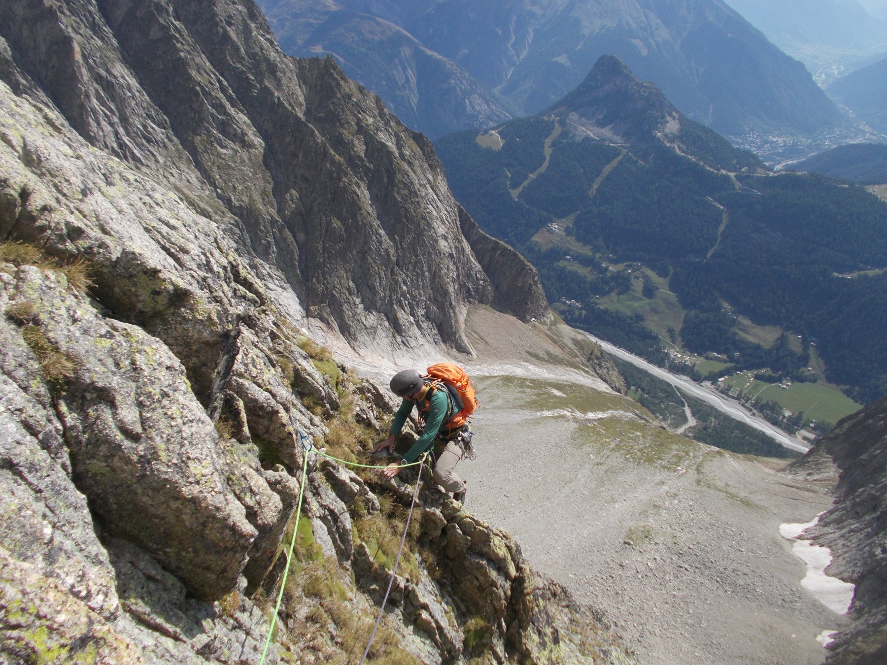
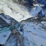
- dal versante Freney (Ovest) occorre abbandonare il sentiero per il rifugio Monzino prima dell'ultimo tratto di ferrata e attraversare verso destra (salendo) per passare sotto l'estremità di quel che rimane del ghiacciaio del Freney (vari ruscelli da attraversare – attenzione) e passare sulla sua sponda sinistra orografica. Risalirla su terreno instabile finché un nevaio permette di accedere ad un canale roccioso sulla destra. Risalirlo (II – III; due ancoraggi per doppie) e guadagnare così i sovrastanti ripidi pendii erbosi. Risalirli traversando verso sinistra, tralasciando il canale che porta all'intaglio Sud (Col des Chasseurs) ed arrivando a quello dell'intaglio Nord (Col des Chamois). Risalirlo (II) ed arrivare al colle
- dal versante Combalet (Est): dal rifugio Borelli (2325 m.) traversare alla meglio (ometti) verso Ovest la vasta comba del Fauteuil des Allemands su detriti e teppe erbose; l'intaglio Nord è ben visibile e vi si accede da un canale, ad un certo punto bloccato da un masso incastrato. Lo si aggira sulla sinistra (chiodo, V) e si prosegue arrampicando più facilmente fino al colle.
Descrizione
I due intagli sono separati da una prominenza rocciosa più alta di una cinquantina di metri.
L'intaglio Nord può essere raggiunto da due parti:
- dal versante Freney (Ovest) occorre abbandonare il sentiero per il rifugio Monzino prima dell'ultimo tratto di ferrata e attraversare verso destra (salendo) per passare sotto l'estremità di quel che rimane del ghiacciaio del Freney (vari ruscelli da attraversare – attenzione) e passare sulla sua sponda sinistra orografica. Risalirla su terreno instabile finché un nevaio permette di accedere ad un canale roccioso sulla destra. Risalirlo (II – III; due ancoraggi per doppie) e guadagnare così i sovrastanti ripidi pendii erbosi. Risalirli traversando verso sinistra, tralasciando il canale che porta all'intaglio Sud (Col des Chasseurs) ed arrivando a quello dell'intaglio Nord (Col des Chamois). Risalirlo (II) ed arrivare al colle
- dal versante Combalet (Est): dal rifugio Borelli (2325 m.) traversare alla meglio (ometti) verso Ovest la vasta comba del Fauteuil des Allemands su detriti e teppe erbose; l'intaglio Nord è ben visibile e vi si accede da un canale, ad un certo punto bloccato da un masso incastrato. Lo si aggira sulla sinistra (chiodo, V) e si prosegue arrampicando più facilmente fino al colle.
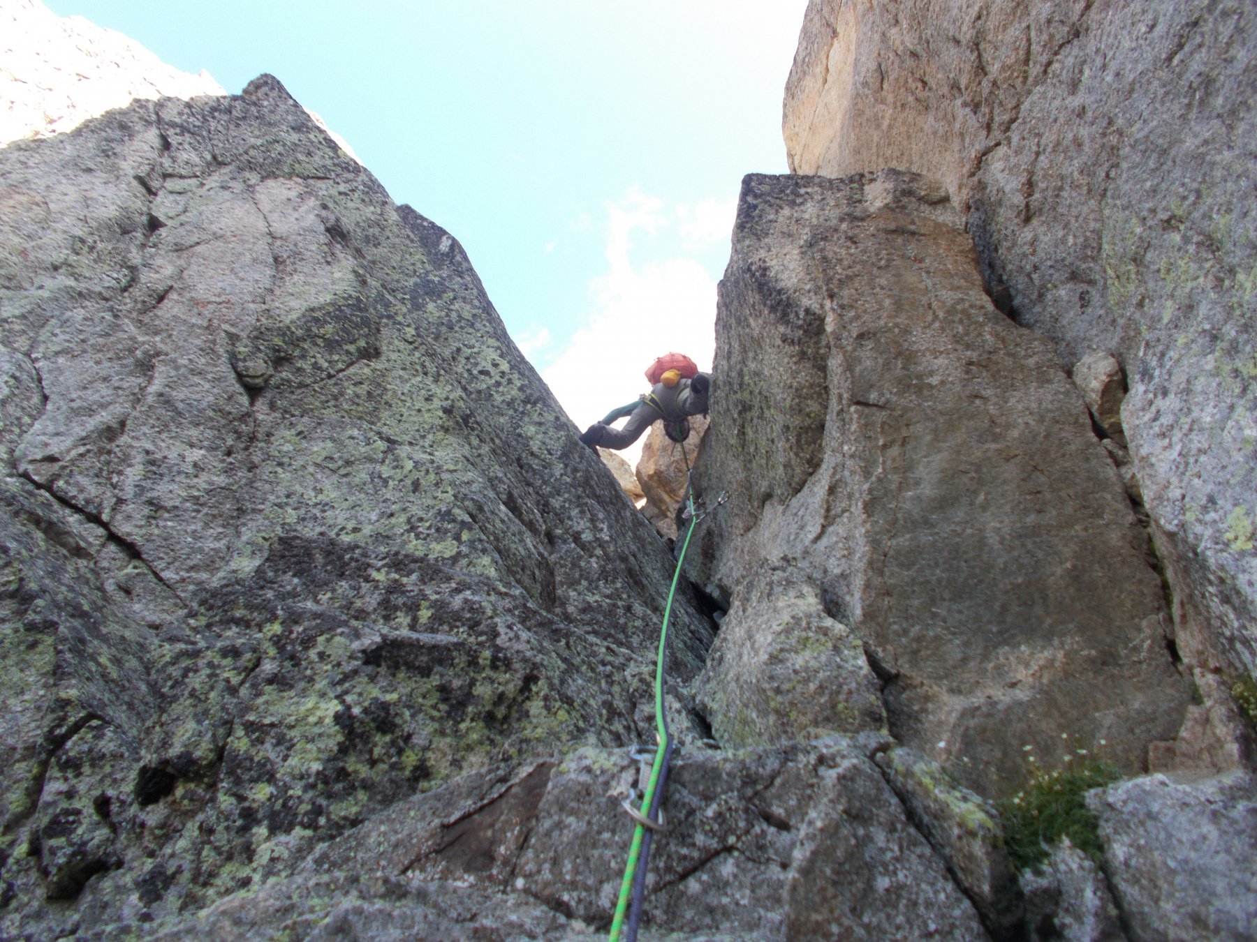
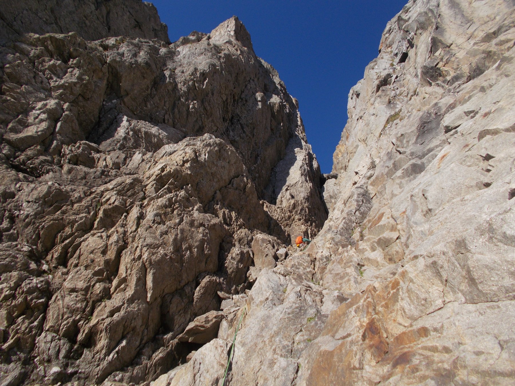
La via è abbastanza segnalata dalle protezioni a spit. A memoria (non ci sono relazioni ufficiali) dovrebbe essere così:
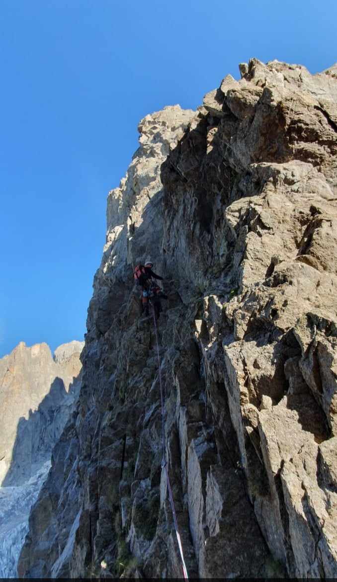
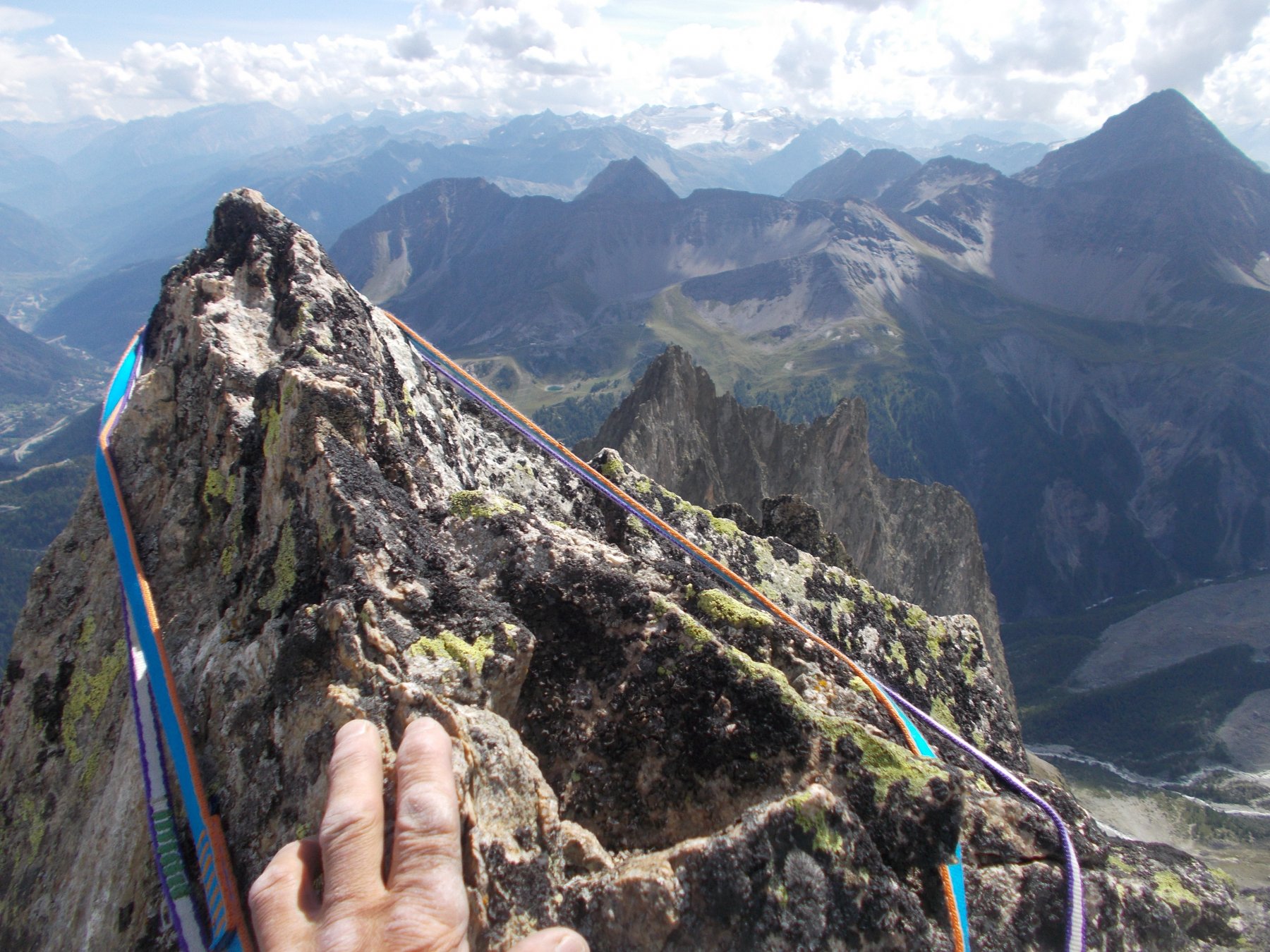
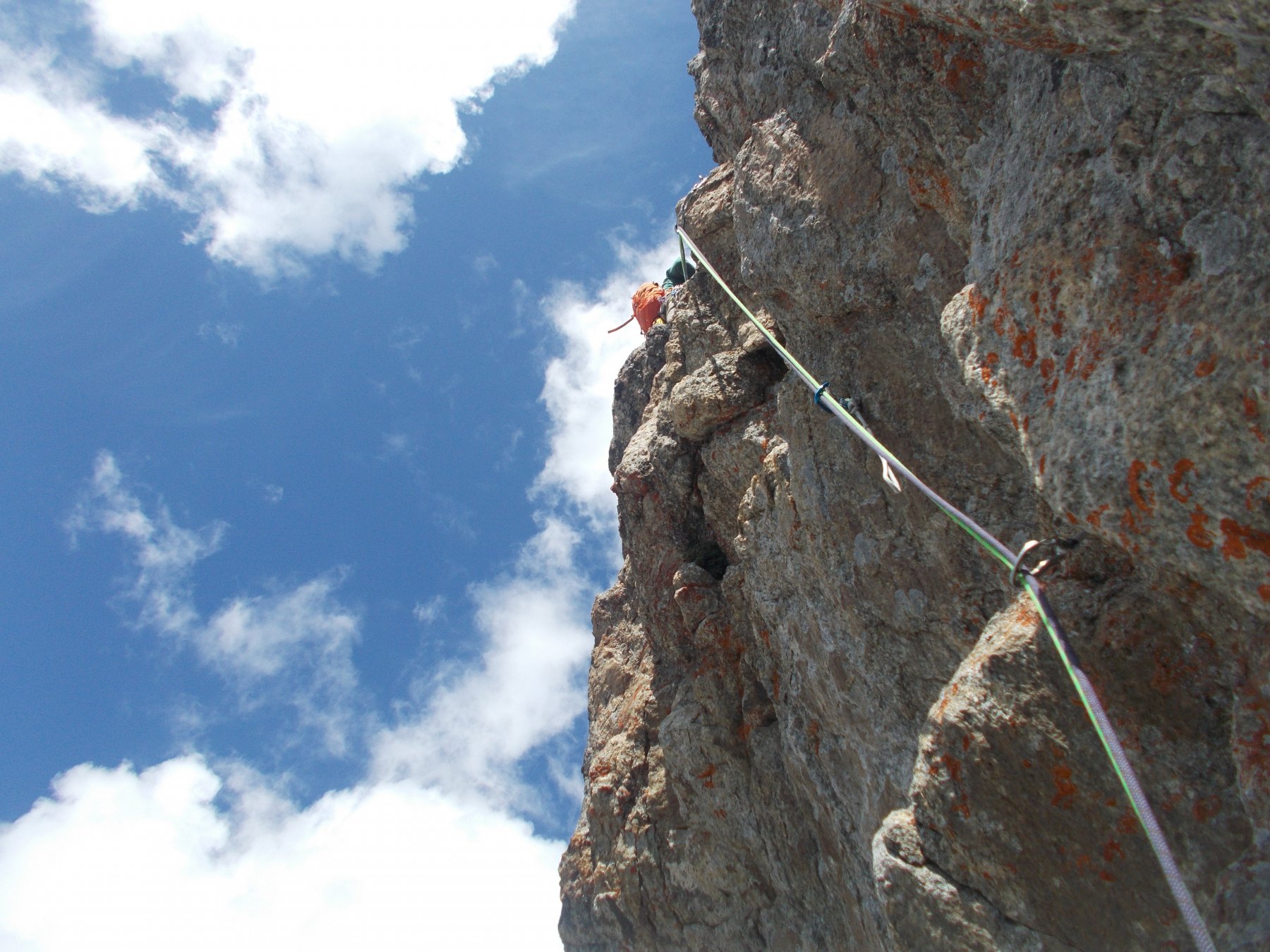
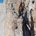
L1 – 35 m. salire obliquando verso sinistra, poi raddrizzarsi sul filo (passi di IV)
L2 – 50 m. salire obliquando verso sinistra, con passaggi di IV
L3 – 30 m. girare uno spigolino a sinistra ed iniziare a risalire un canale, erboso sul fondo (V, poi IV)
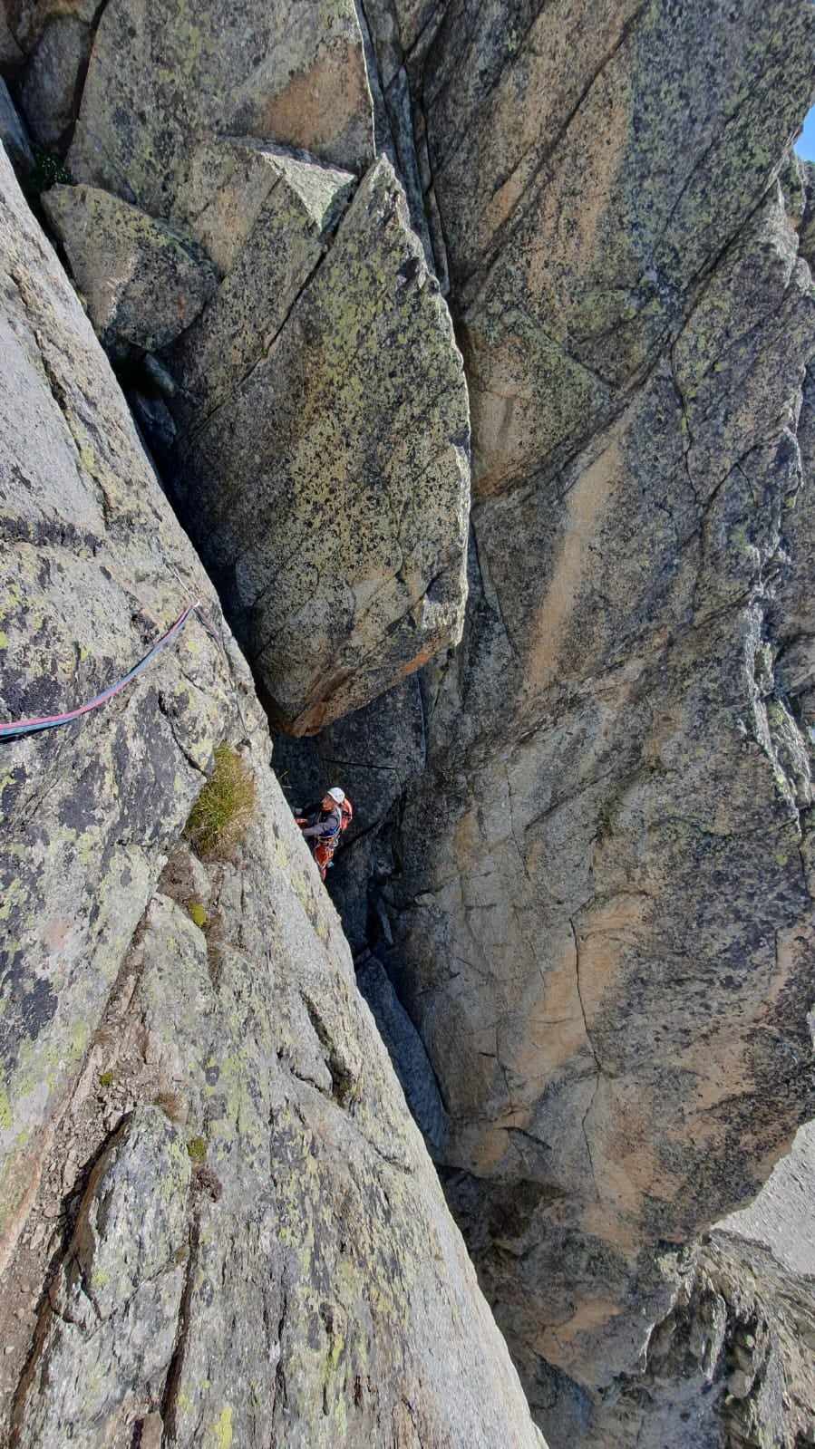
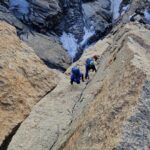
L4 – 40 m. salire verticalmente in direzione di un diedro con larga fessura sul fondo (IV)
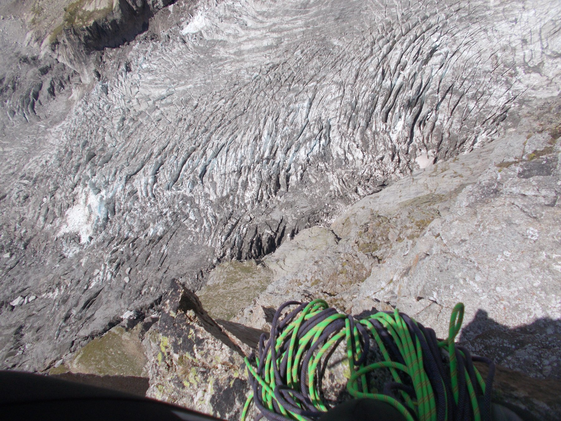
L5 – 35 m. scalare il diedro (6b, azzerabile); dopo averlo risalito, si esce su un ballatoio sulla sinistra
L6 – 55 m. si risale una placca priva di protezioni ma abbastanza ben appigliata, poi il sovrastante diedro (V), poi si ritorna verso il filo di cresta, verso destra, su terreno più facile
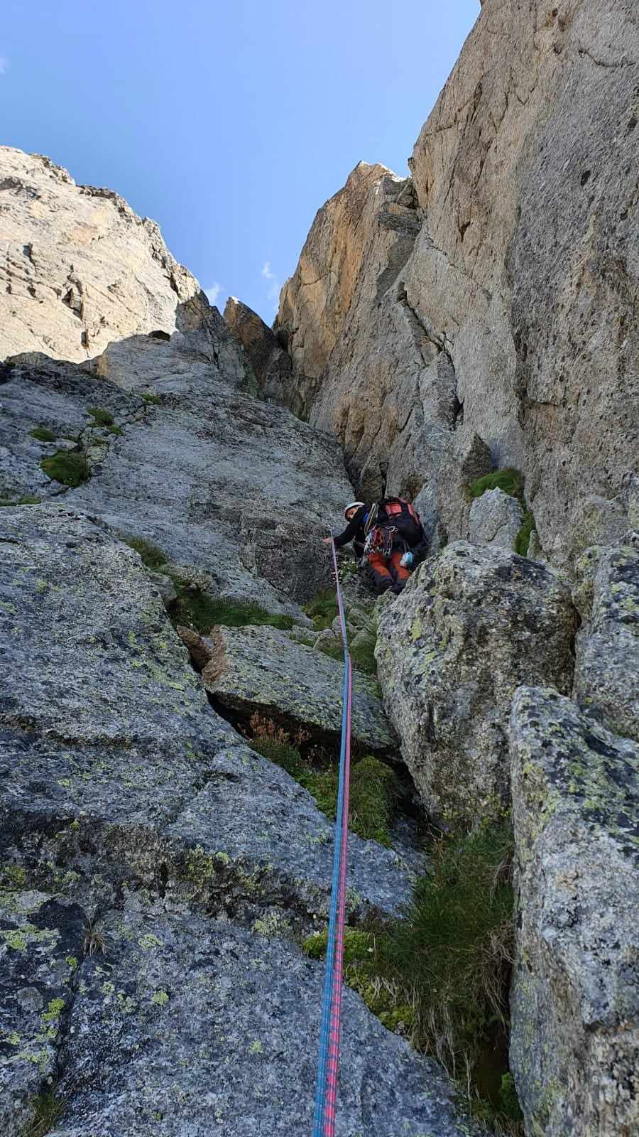
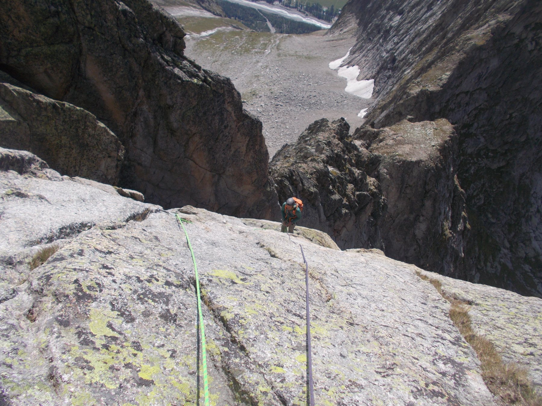
L7 – 60 m. risalire il pendio facile verso destra, poi tornare verso sinistra con passaggi di IV
L8 – 35 m. salire obliquando verso sinistra su roccia ricoperta di licheni neri
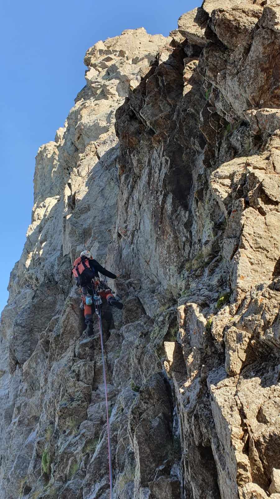
L9 – 30 m. forzare uno strapiombo (6a azzerabile), poi risalire verticalmente (IV) fino alla sosta, a pochi metri dalla vetta.
La discesa si effettua in doppia lungo la via, saltando la sosta 8 e forse la 4. Dalla sosta 3 alla 0 le doppie sono molto in diagonale. Pare che ci siano altri ancoraggi più verticali sul versante Combalet, ma dovrebbe essere necessario, dopo ogni calata, riguadagnare il filo di cresta con traversate su cenge (verso destra, scendendo)
Via aperta dalla guida alpina Andrea Plat nel 2009. Segue per alcuni tratti il percorso di Toni Gobbi del 1944 (si incontra qualche vecchio chiodo).
- Cartografia:
- Carta IGC n° 4 - Monte Bianco
Nelle vicinanze Mappa
Itinerari
19/08/2023 AO, Courmayeur D+ 4500 m TD+ Tutte
Bianco (Monte) Cresta Integrale di Peuterey
 50m
50m
29/01/2022 AO, Courmayeur D+ 1470 m ED Nord-Ovest
Peuterey (Aiguille Noire de) – Supercouloir de Peuterey
 50m
50m
22/08/2024 AO, Courmayeur D+ 2200 m TD Sud
Peuterey (Aiguille Noire de) – Cresta Sud
 50m
50m
26/07/2020 AO, Courmayeur D+ 1600 m TD+ Ovest
Peuterey (Aiguille Noire de) – Via Ratti-Vitali
 50m
50m
28/06/2026 AO, Courmayeur D+ 1600 m AD+ Sud-Ovest
Croux (Aiguille) – Via Cheney alla Cresta SO
 2.5Km
2.5Km
19/07/2010 AO, Courmayeur D+ 3400 m TD+ Sud-Est
Bianco (Monte) Pilier nord de Freney – Via Gervasutti
 2.5Km
2.5Km
12/08/2021 AO, Courmayeur D+ 2600 m AD Est
Bionnassay (Aiguille de) Cresta Est
 2.5Km
2.5Km
10/07/2023 AO, Courmayeur D+ 3250 m D Sud
Bianco (Monte) Cresta del Brouillard integrale
 2.5Km
2.5Km
02/07/2021 AO, Courmayeur D+ 400 m TD+ Sud-Est
Brouillard (Pilastro Rosso del) – Via Bonatti-Oggioni
 2.5Km
2.5Km
09/08/2024 AO, Courmayeur D+ 3400 m ED- Sud-Est
Bianco (Monte) Pilone Centrale Freney – Via classica
 2.5Km
2.5Km