3.9Km
3.9Km
Avvicinamento
Storico
 50m
50m
50m
50m
2.5Km
2.5Km
2.5Km
2.5Km
2.5Km
2.5Km
50m
50m
50m
50m
2.5Km
2.5Km
2.5Km
2.5Km
2.5Km
2.5Km
Dall'imbocco della Val Veny attraversare fino alla località Portud.
Descrizione
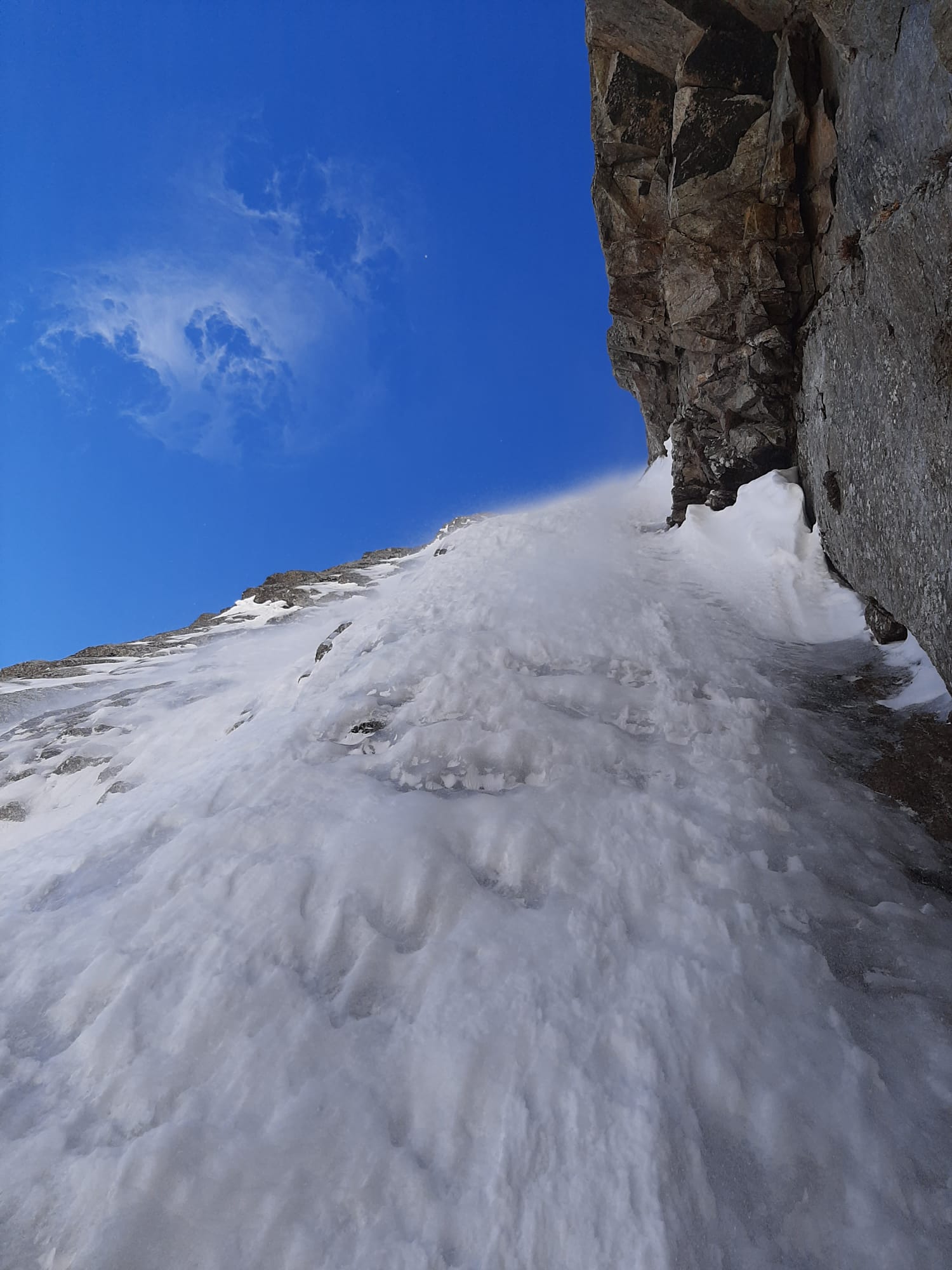
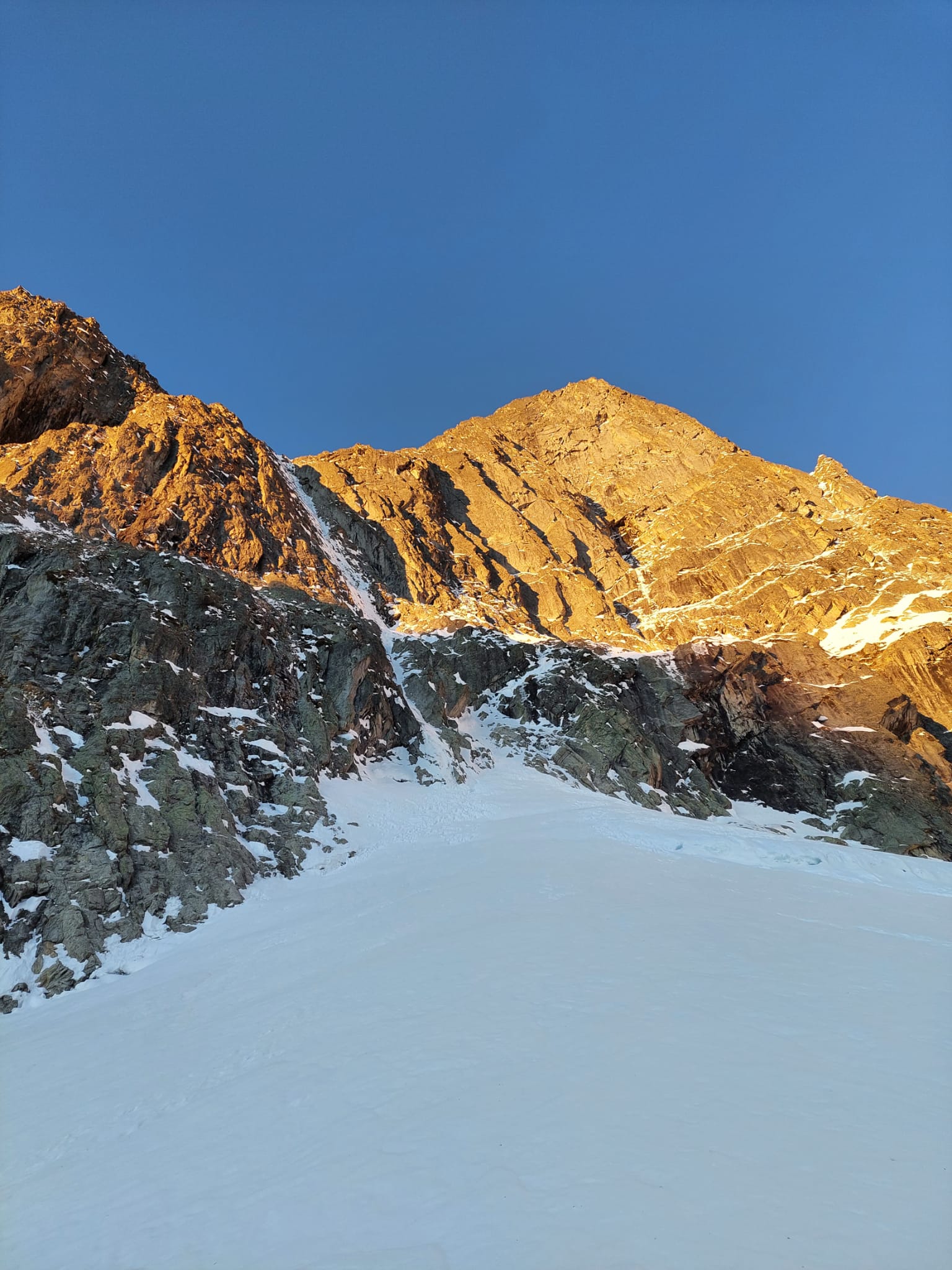
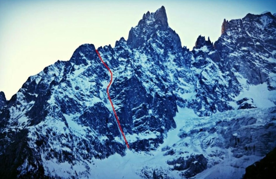
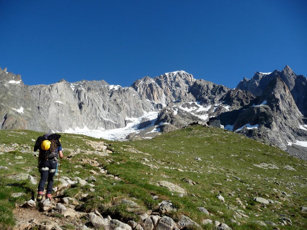
Da Loc. Purtud in Val Veny attraverso il bosco si risale il bacino di deiezione della Brenva sino all’attacco versante Nord-Est Mont Noire de Peuterey. 700 mt. D+
La salita integrale circa 650 mt. di sviluppo sino alla breche. Si compone di due parti ben distinte:
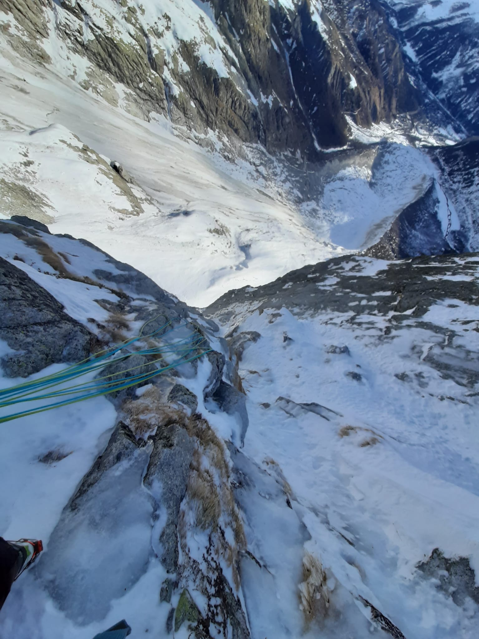
- parte della goulotte più verticale (H. Marguerettaz, G. Sappa) neve polystirene/ghiaccio soste a spit (messe dopo l’apertura da A. Plat) per le prime 5 lunghezze.
- canale mediano e tiri di misto finali ( J. Bracey e M. Helliker).
Discesa. In corda doppia (12-13) su soste a chiodi, abalakov e poi spit.
Grado: IV+ – 85° e M5/5+ (può variare considerevolmente in funzione delle condizioni).
La via è stata aperta in due occasioni da due cordate diverse a distanza di anni.
1. primi 350 mt. di goulotte da H. Marguerettaz e G. Sappa (doppie a spit chiodate nel 2013 da A.Plat)
2. successivi 300 mt. canale più uscita di misto sino in cresta da J. Bracey e M. Helliker (quest'ultima parte di misto 200 mt. - M7 quotazione originale)
Il nome proposto da J. Bracey e M. Helliker per la salita integrale sino alla breche del Mont Noire de Peuterey circa 3.000 mt. è 'Supercouloir del Peuterey')
NB: Esiste un altra linea situata sulla destra della presente, sempre percorsa da J. Bracey e M. Helliker dal nome Pasta da Pesto
1. primi 350 mt. di goulotte da H. Marguerettaz e G. Sappa (doppie a spit chiodate nel 2013 da A.Plat)
2. successivi 300 mt. canale più uscita di misto sino in cresta da J. Bracey e M. Helliker (quest'ultima parte di misto 200 mt. - M7 quotazione originale)
Il nome proposto da J. Bracey e M. Helliker per la salita integrale sino alla breche del Mont Noire de Peuterey circa 3.000 mt. è 'Supercouloir del Peuterey')
NB: Esiste un altra linea situata sulla destra della presente, sempre percorsa da J. Bracey e M. Helliker dal nome Pasta da Pesto
Nelle vicinanze Mappa
Itinerari
18/08/2023 AO, Courmayeur D+ 300 m TD- Sud
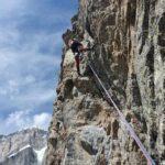
Gamba (Pic) Cresta Sud – Via Plat
 50m
50m
19/08/2023 AO, Courmayeur D+ 4500 m TD+ Tutte
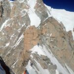
Bianco (Monte) Cresta Integrale di Peuterey
 50m
50m
22/08/2024 AO, Courmayeur D+ 2200 m TD Sud
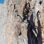
Peuterey (Aiguille Noire de) – Cresta Sud
 50m
50m
26/07/2020 AO, Courmayeur D+ 1600 m TD+ Ovest
Peuterey (Aiguille Noire de) – Via Ratti-Vitali
 50m
50m
28/06/2026 AO, Courmayeur D+ 1600 m AD+ Sud-Ovest
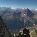
Croux (Aiguille) – Via Cheney alla Cresta SO
 2.5Km
2.5Km
19/07/2010 AO, Courmayeur D+ 3400 m TD+ Sud-Est
Bianco (Monte) Pilier nord de Freney – Via Gervasutti
 2.5Km
2.5Km
12/08/2021 AO, Courmayeur D+ 2600 m AD Est
Bionnassay (Aiguille de) Cresta Est
 2.5Km
2.5Km
10/07/2023 AO, Courmayeur D+ 3250 m D Sud
Bianco (Monte) Cresta del Brouillard integrale
 2.5Km
2.5Km
09/08/2024 AO, Courmayeur D+ 3400 m ED- Sud-Est
Bianco (Monte) Pilone Centrale Freney – Via classica
 2.5Km
2.5Km
02/07/2021 AO, Courmayeur D+ 400 m TD+ Sud-Est
Brouillard (Pilastro Rosso del) – Via Bonatti-Oggioni
 2.5Km
2.5Km